About this sheet
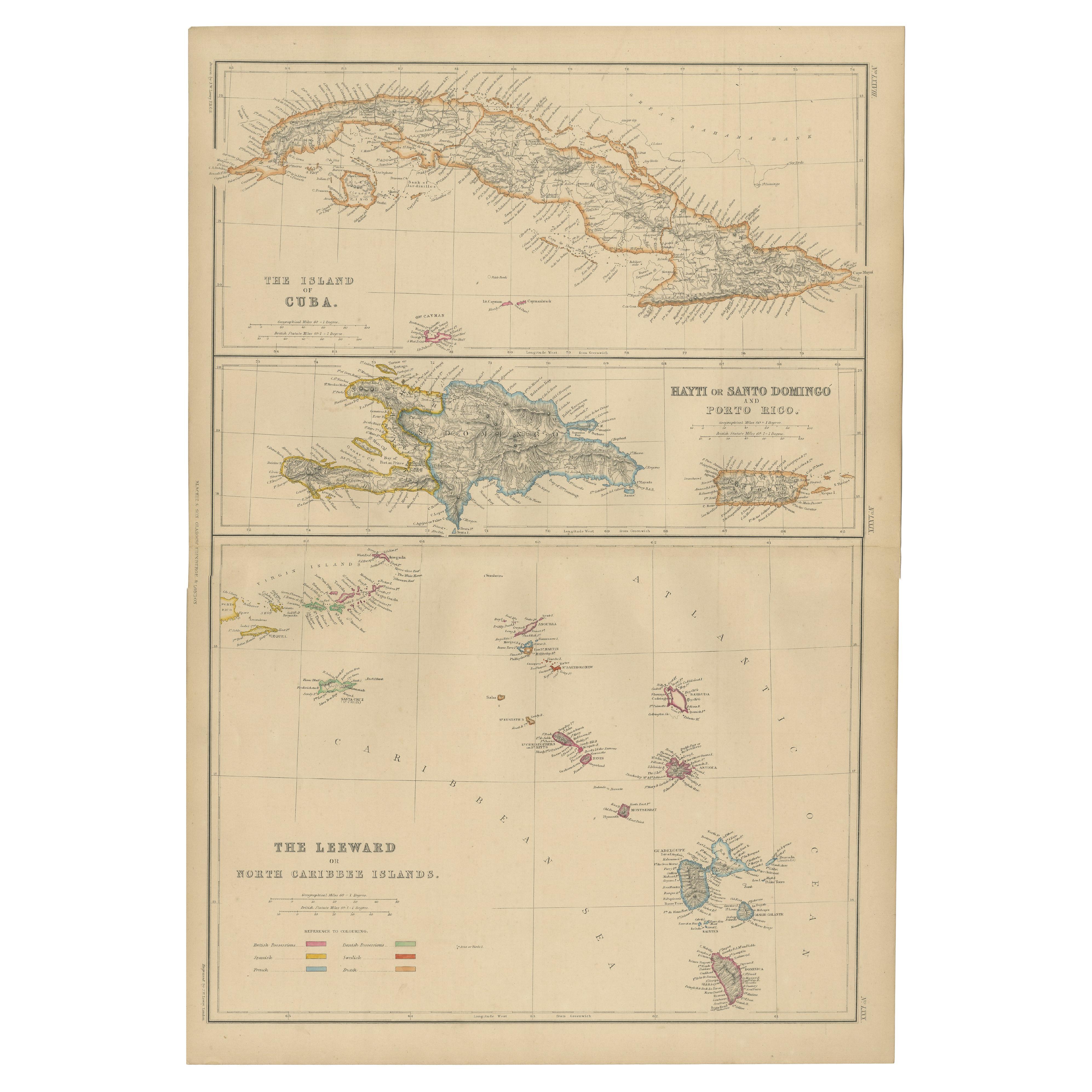
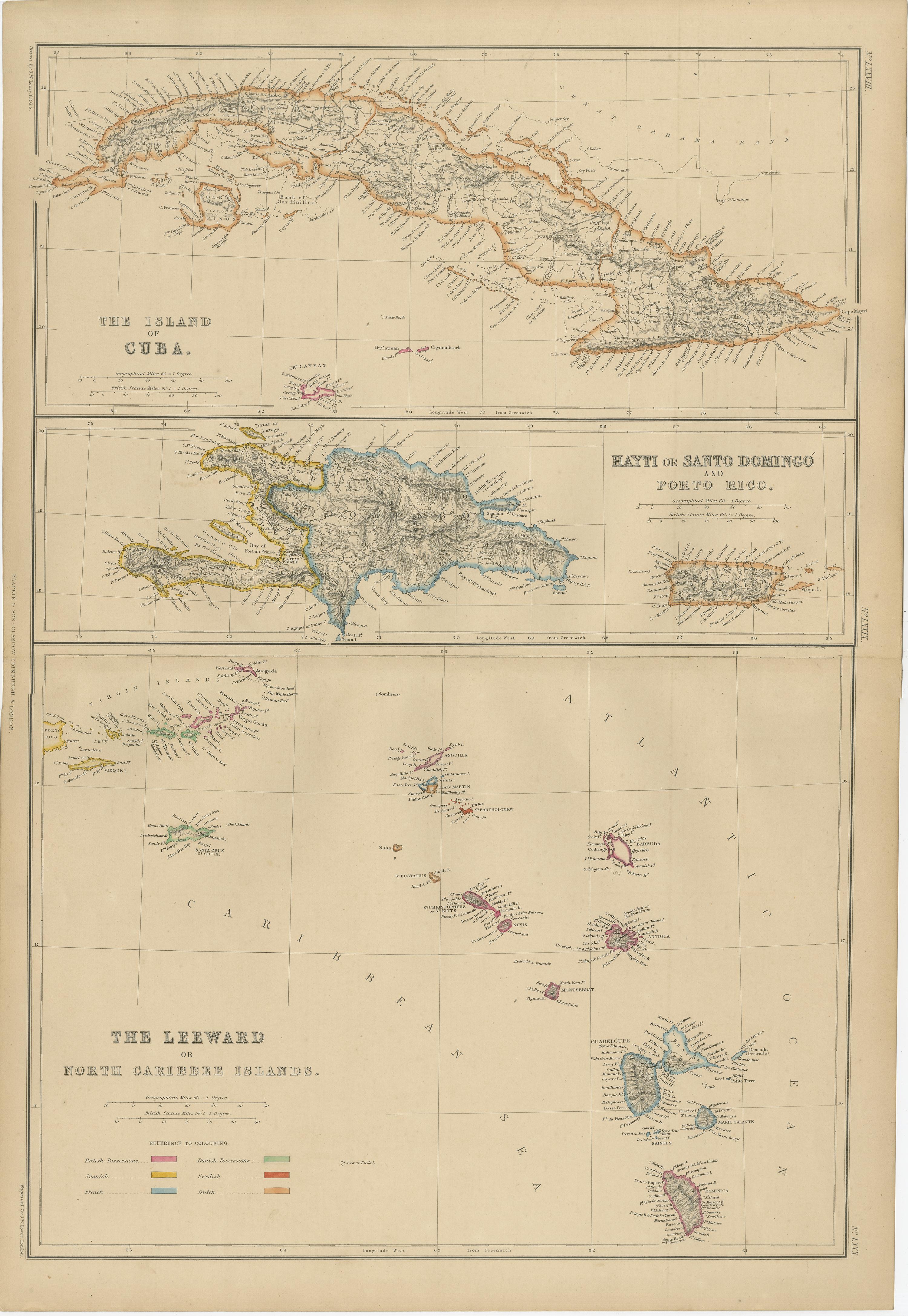
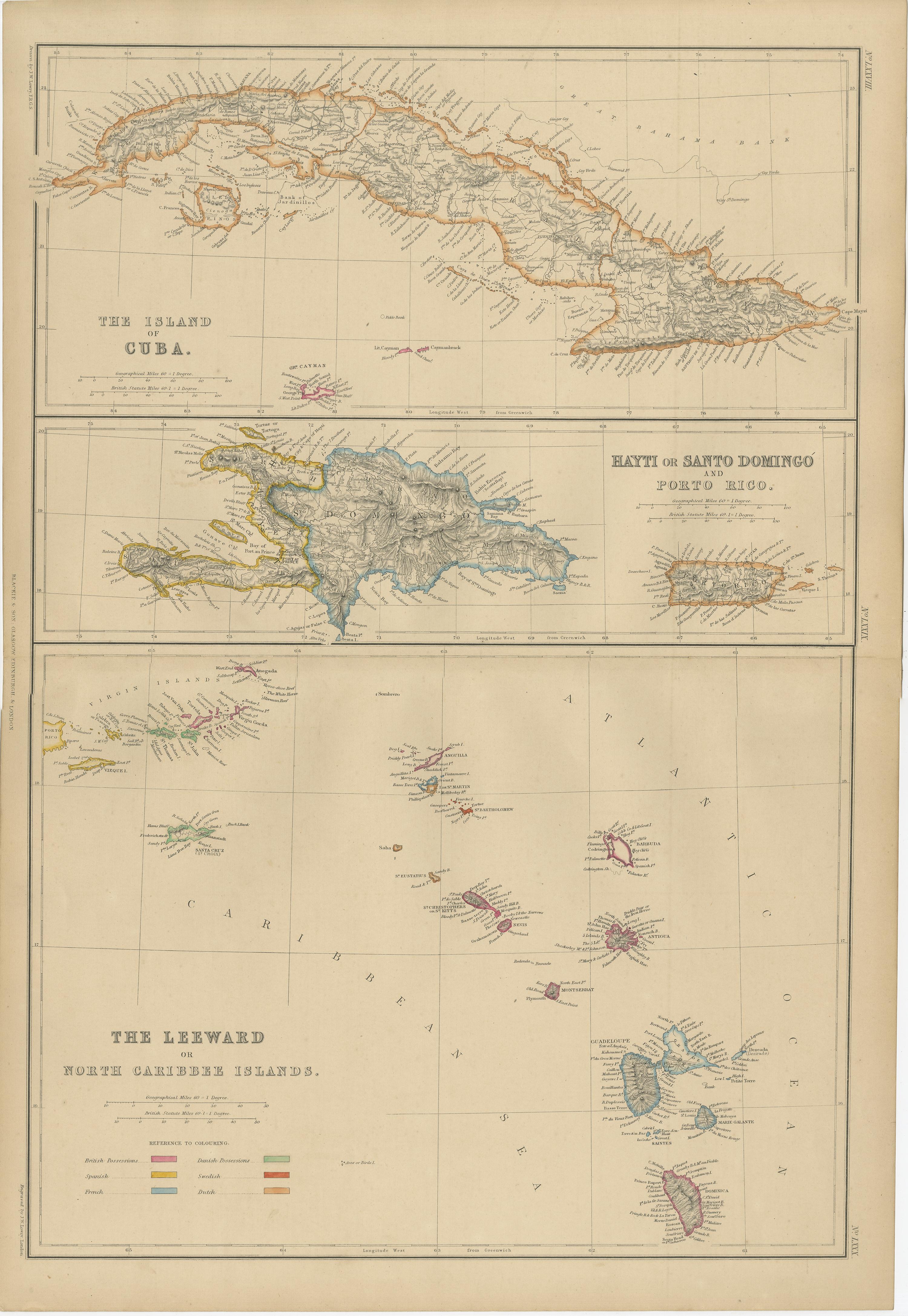
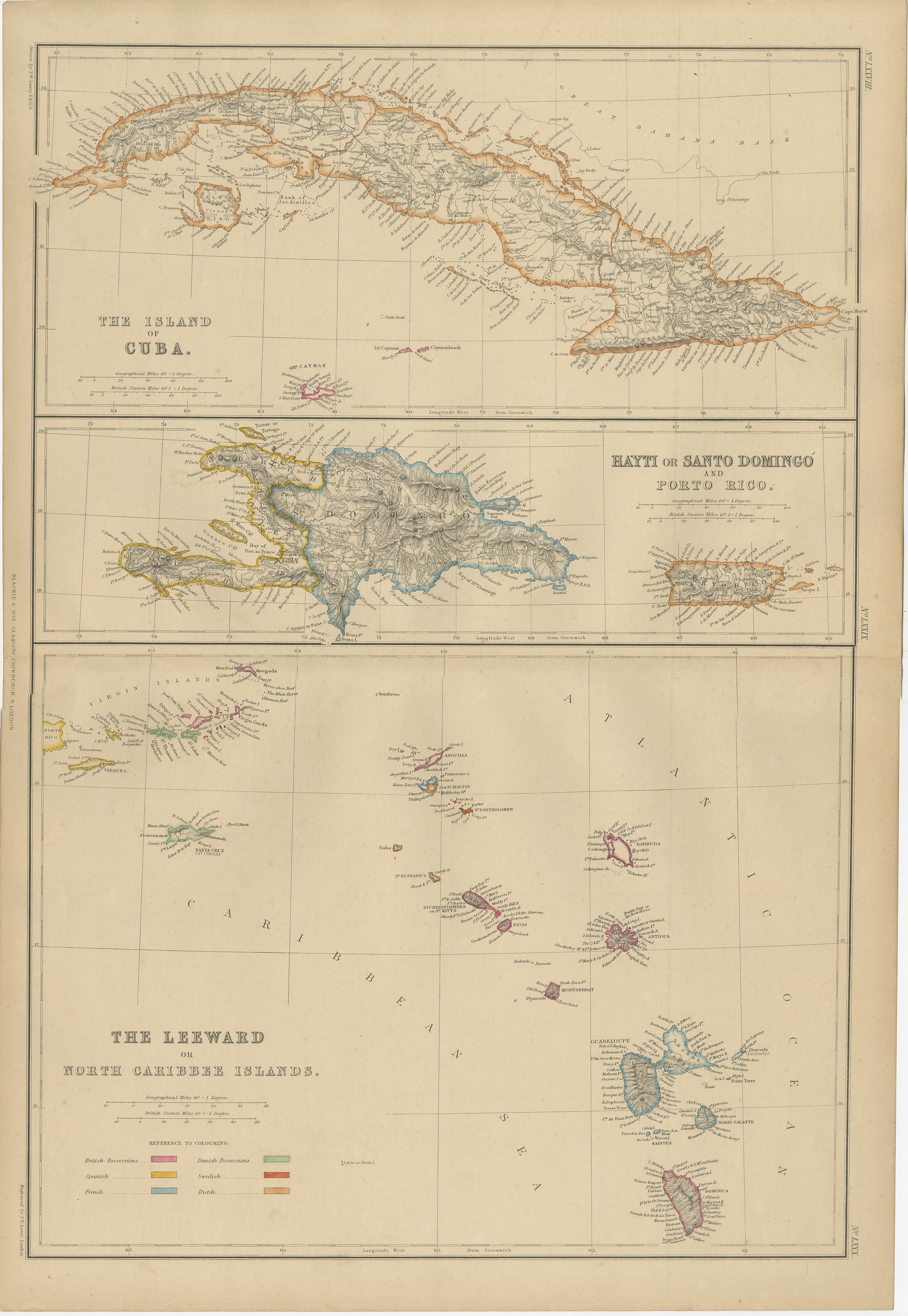
Cuba, Hayti, Santo Domingo and Leeward Islands, Antique Caribbean Map, 1859
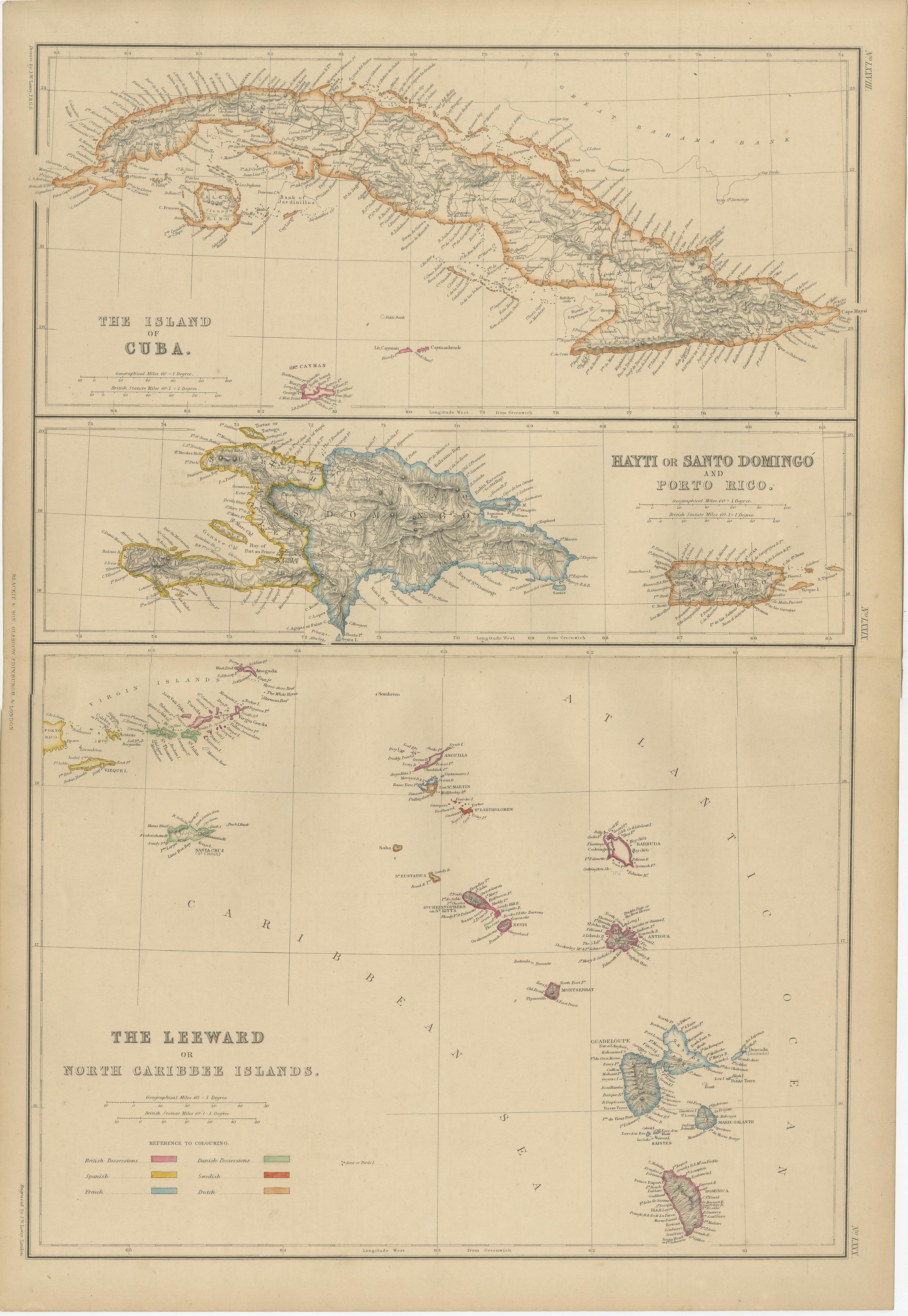
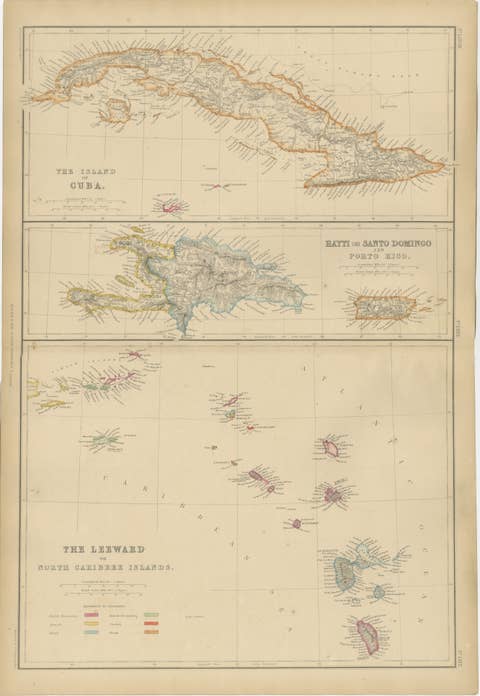
This original antique map depicts the island of Cuba together with Hayti (Hispaniola), Santo Domingo, Porto Rico, and the Leeward or North Caribbean Islands. It originates from *The Imperial Atlas of Modern Geography* and was published in 1859 by W. G. Blackie, one of the foremost British atlas publishers of the 19th century.
The map is arranged in multiple horizontal panels, with Cuba shown prominently across the upper section, its elongated coastline finely engraved and delicately hand colored. Below, Hispaniola is presented with clear distinction between Hayti and Santo Domingo, accompanied by an inset of Porto Rico. The lower portion of the sheet illustrates the Leeward Islands, including the Virgin Islands and the Lesser Antilles, extending across the eastern Caribbean.
Throughout the map, political boundaries are highlighted with original hand coloring, while dense engraved detail records towns, ports, rivers, mountain ranges, and coastal features. The surrounding Caribbean Sea and Atlantic Ocean provide visual balance, enhancing the legibility and decorative quality of the composition. Place names reflect mid-19th-century colonial and geopolitical terminology, offering insight into the historical context of the region.
This map reflects European interest in the Caribbean as a zone of trade, colonial administration, and strategic importance during the 19th century. Its refined engraving, subtle coloring, and clear sectional layout make it appealing both as a historical document and as wall art suited to traditional, coastal, or globally inspired interiors.
Condition report:
Good antique condition. Light overall age toning consistent with period. Minor scattered foxing and occasional light handling marks, mainly visible in the margins. Original central folds as issued. No major tears or losses.
Framing tips:
A wide ivory or warm cream mat will complement the soft hand coloring and engraved detail. A dark walnut, black, or understated antique gilt frame works well and suits both classic and contemporary interiors. UV-protective or museum glass is recommended.
Technique: Copper engraving with original hand coloring
Maker: W. G. Blackie, Scotland, 1859
Keywords:
Cuba map, Havana, Santiago de Cuba, Matanzas, Trinidad Cuba, Hayti map, Hispaniola, Santo Domingo, Dominican Republic, Haiti, Port-au-Prince, Cap-Haïtien, Porto Rico, Puerto Rico, San Juan, Caribbean Islands, West Indies, Leeward Islands, Windward Islands, Virgin Islands, British Virgin Islands, Danish West Indies, St Thomas, St Croix, St John, Antigua, Barbuda, St Kitts, Nevis, Montserrat, Guadeloupe, Martinique, Dominica, St Lucia, St Vincent, Grenada, Barbados, Tobago, Trinidad, Caribbean Sea, Atlantic Ocean, Lesser Antilles, Greater Antilles, colonial Caribbean, plantation era, sugar islands, maritime trade routes, island cartography, 19th century map, antique atlas map, Blackie, Imperial Atlas, hand colored map, copper engraved map