About this sheet
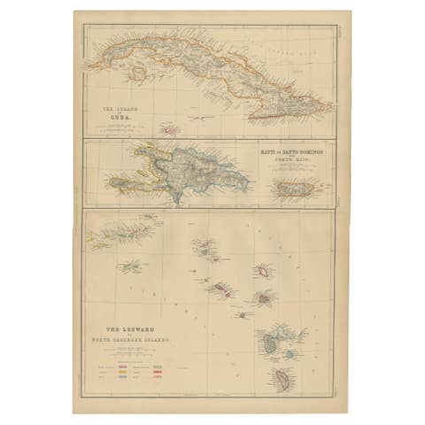
Antique Map of Cuba, Hispaniola, Puerto Rico and the Leeward Islands, 1860
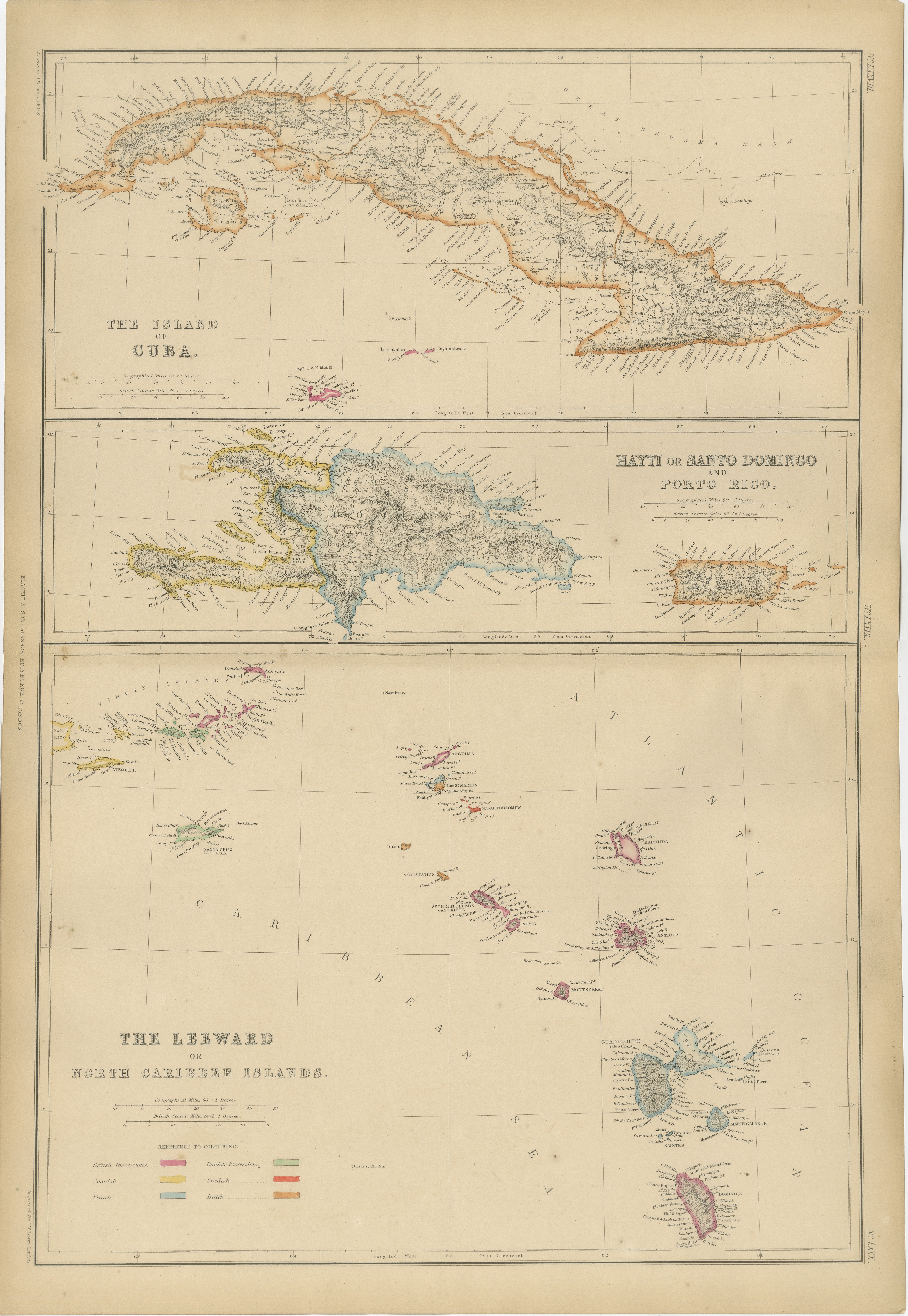
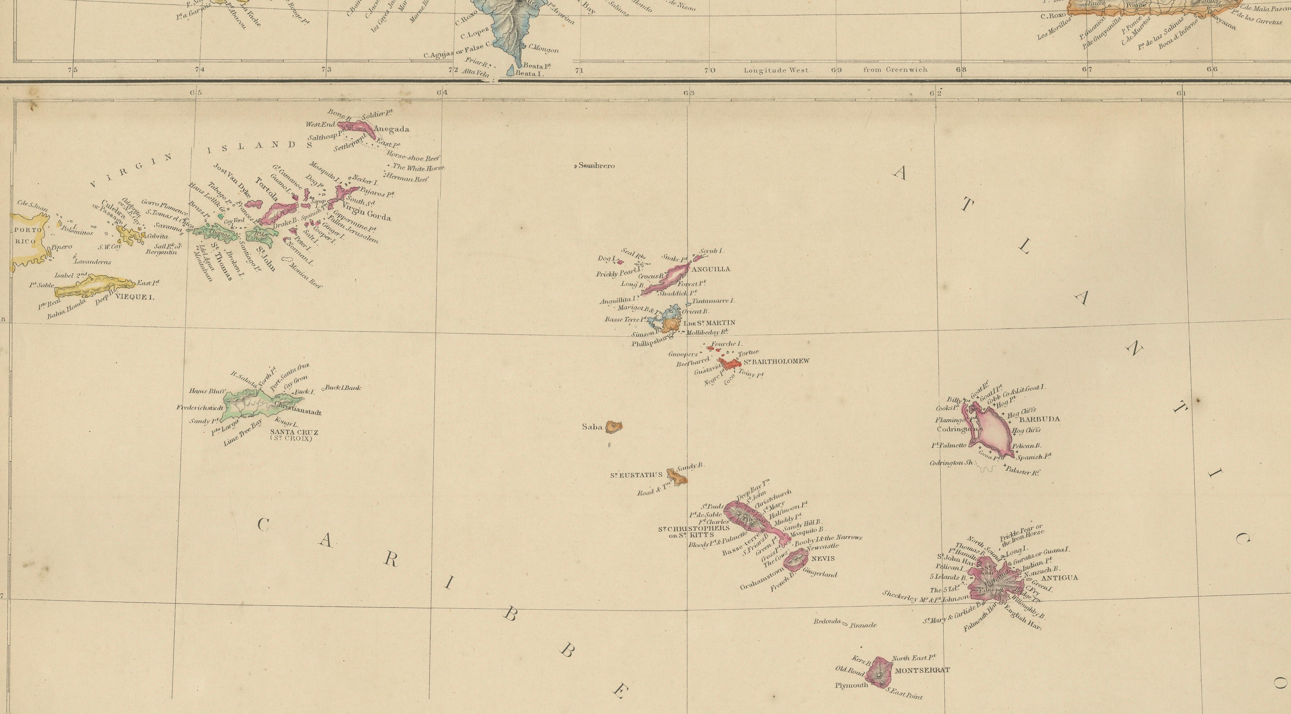
This attractive and highly detailed map of the Caribbean was published by W. G. Blackie of Scotland around 1860 and presents a fascinating overview of some of the most important islands of the West Indies during the nineteenth century. The sheet combines detailed maps of Cuba, Hayti (Haiti) and Santo Domingo (Dominican Republic), Puerto Rico, and the Leeward or Northern Caribbean Islands, providing a comprehensive geographical view of this strategically vital region.
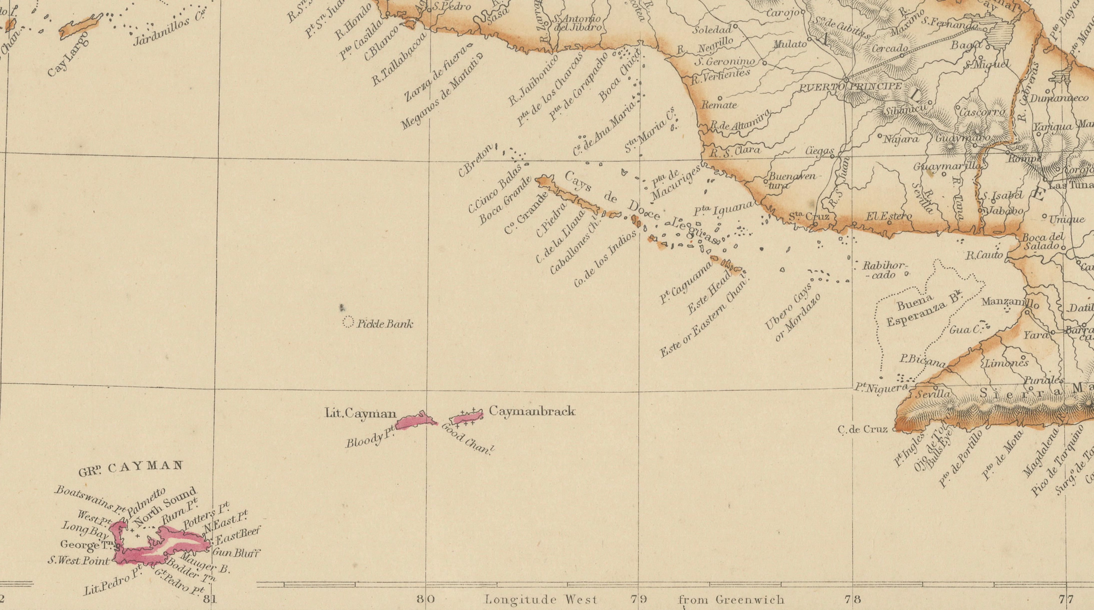
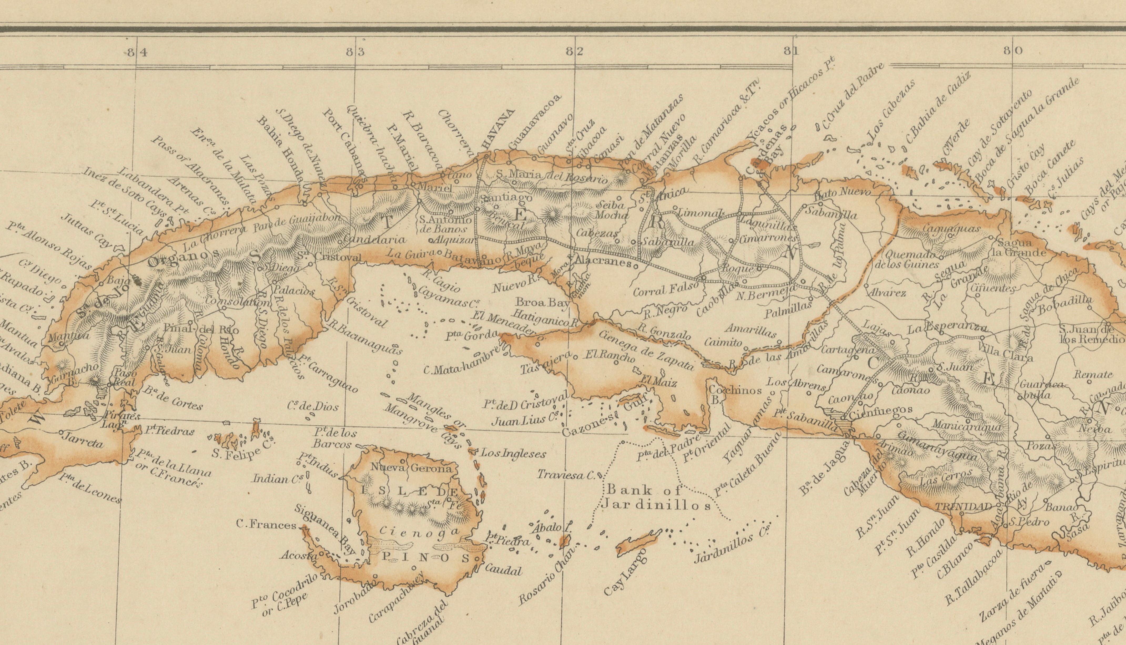
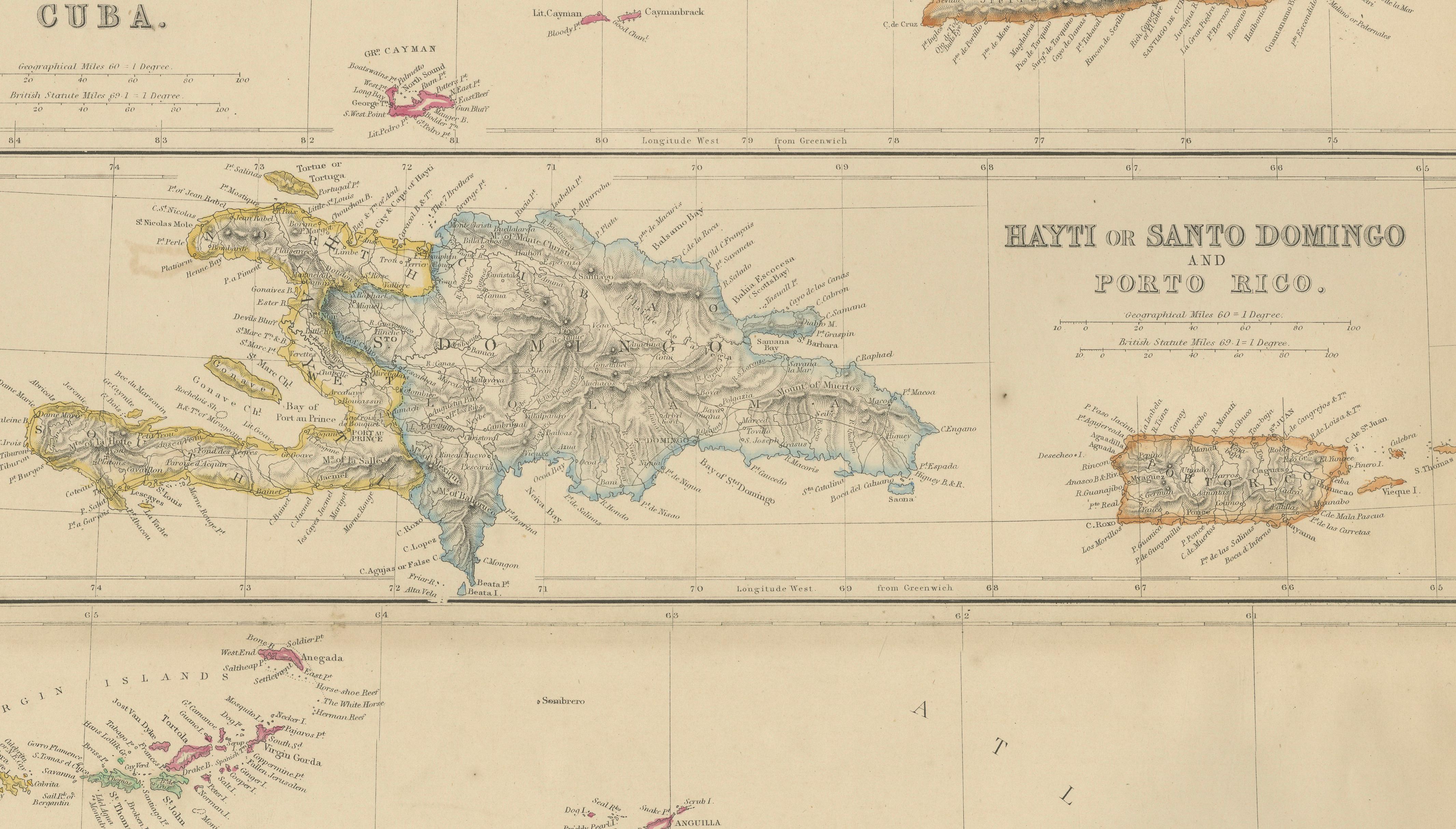
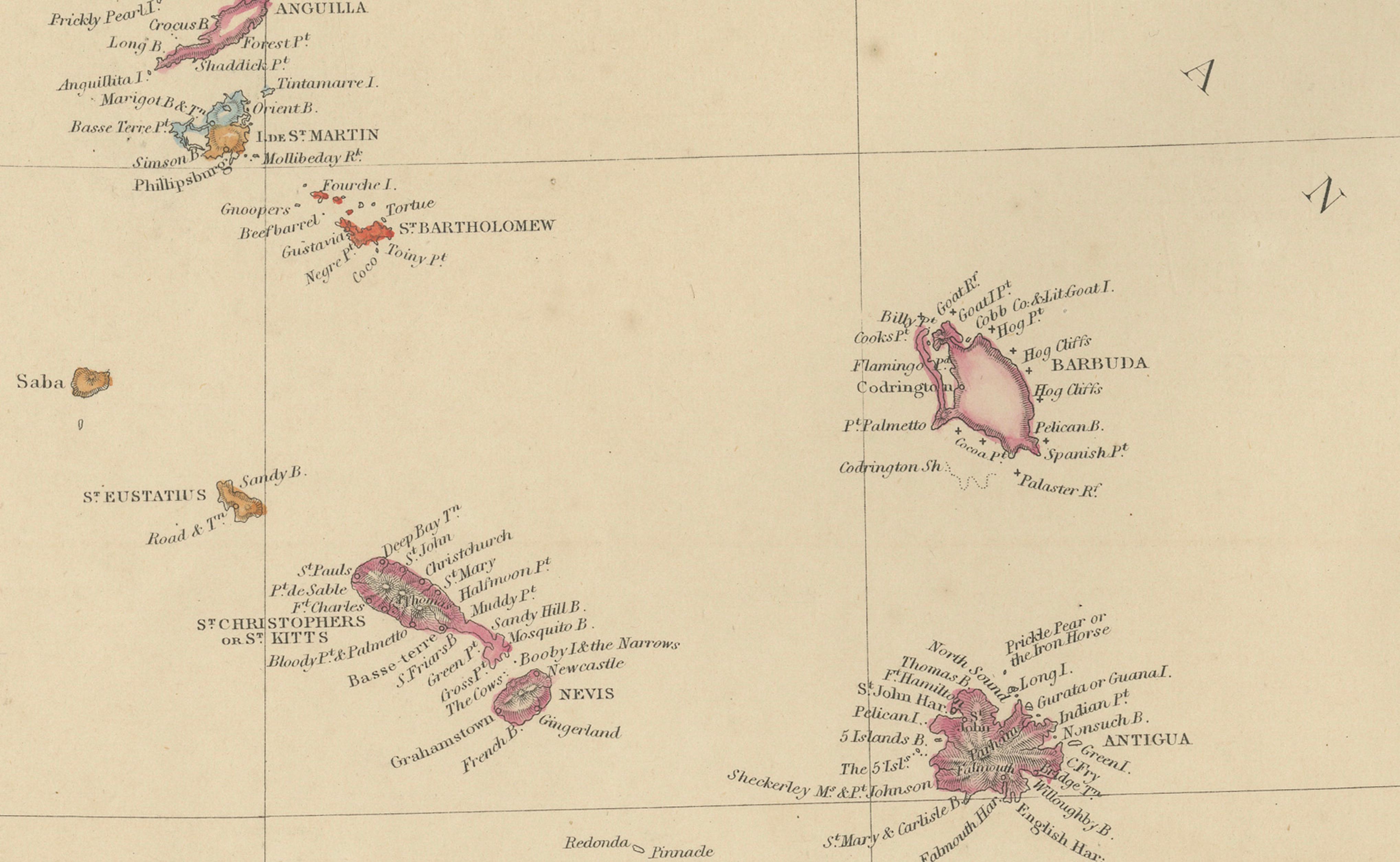
The large upper map depicts Cuba in remarkable detail, showing its mountainous terrain, coastal settlements, harbors, rivers, and road networks. The nearby Cayman Islands are also included. Beneath Cuba, a detailed map illustrates the island of Hispaniola, divided between Haiti and Santo Domingo, while a separate inset shows Puerto Rico. The lower section of the sheet is devoted to the Leeward Islands, including many of the Lesser Antilles and Virgin Islands, with colonial possessions distinguished by original hand coloring.
During the nineteenth century the Caribbean occupied a central position in global maritime trade. These islands served as important commercial, naval, and agricultural centers, linking Europe, North America, and South America through extensive shipping networks. The map reflects this importance through its careful depiction of ports, anchorages, settlements, and navigational landmarks.
Original hand coloring highlights the colonial divisions that existed throughout the region, distinguishing British, Spanish, French, Dutch, Danish, and Swedish possessions. This feature adds significant historical interest, illustrating the complex political geography of the Caribbean before many later constitutional and territorial changes.
The engraving is executed with the clarity and precision characteristic of Blackie's celebrated atlas publications. Mountain ranges, coastlines, reefs, bays, and settlements are rendered with exceptional care, while the clean layout provides an elegant balance between geographical information and decorative appeal.
Today, antique maps of the Caribbean remain highly sought after by collectors of colonial history, maritime exploration, island studies, genealogy, and decorative cartography. This example offers both historical significance and visual beauty, making it an excellent addition to a collection, library, office, or coastal interior.
Condition report: Good antique condition with age-related toning and occasional light spotting consistent with age. Original hand coloring remains attractive and well preserved. Please examine the images carefully for exact condition.
Framing tips: This map displays beautifully in a dark walnut, ebonized, or museum-black frame with a generous warm ivory mat. A thin gilt liner can further enhance the original hand coloring while complementing the map's historical character.
Technique: Copper engraving with original hand coloring
Maker: W. G. Blackie, Scotland, 1860
This is an original 19th-century copperplate engraving, printed at the time. It is not a modern reproduction. Any images showing the print framed are for presentation purposes only. The map is supplied unframed.
Keywords: Cuba, Havana, Habana, Santiago de Cuba, Matanzas, Trinidad, Cienfuegos, Puerto Principe, Camaguey, Guantanamo, Cayman Islands, Grand Cayman, Hispaniola, Haiti, Hayti, Santo Domingo, Dominican Republic, Port-au-Prince, Cap-Haitien, Santo Domingo City, Puerto Rico, San Juan, Mayaguez, Ponce, Virgin Islands, St Thomas, St John, St Croix, Tortola, Virgin Gorda, Anegada, Leeward Islands, Lesser Antilles, Anguilla, Saint Martin, Sint Maarten, Saint Barthelemy, Saba, Sint Eustatius, Saint Kitts, Nevis, Antigua, Barbuda, Montserrat, Guadeloupe, Marie Galante, Dominica, Caribbean Sea, West Indies, Atlantic Ocean, Colonial Caribbean, British West Indies, Spanish West Indies, French West Indies, Dutch Caribbean, Danish West Indies, Swedish Caribbean, Maritime History, Island Cartography, Antique Map, Hand-Colored Map, Copperplate Engraving, Blackie Atlas, Victorian Cartography.