About this sheet
Antique Map of the Caribbean & Central America – West Indies, 1857
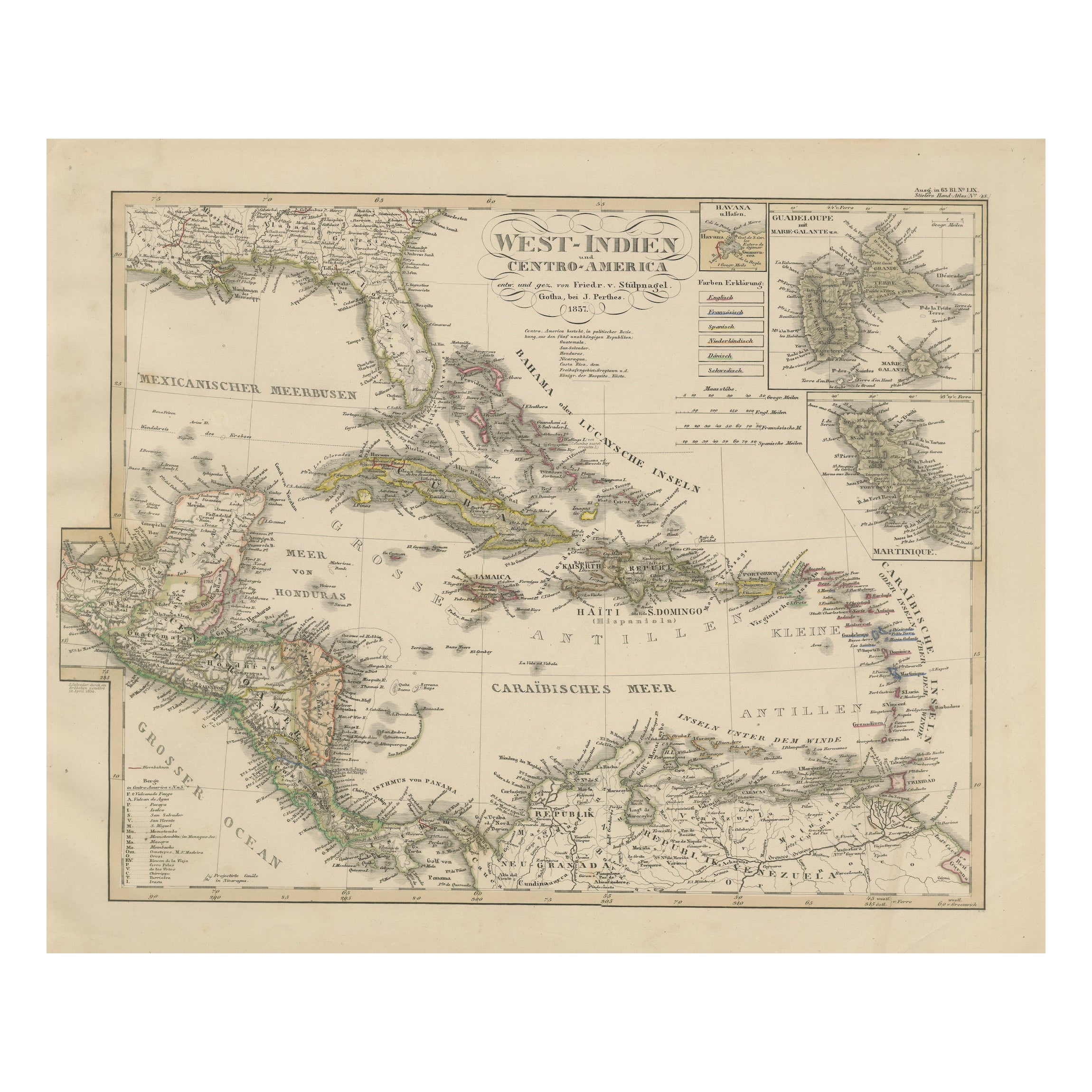
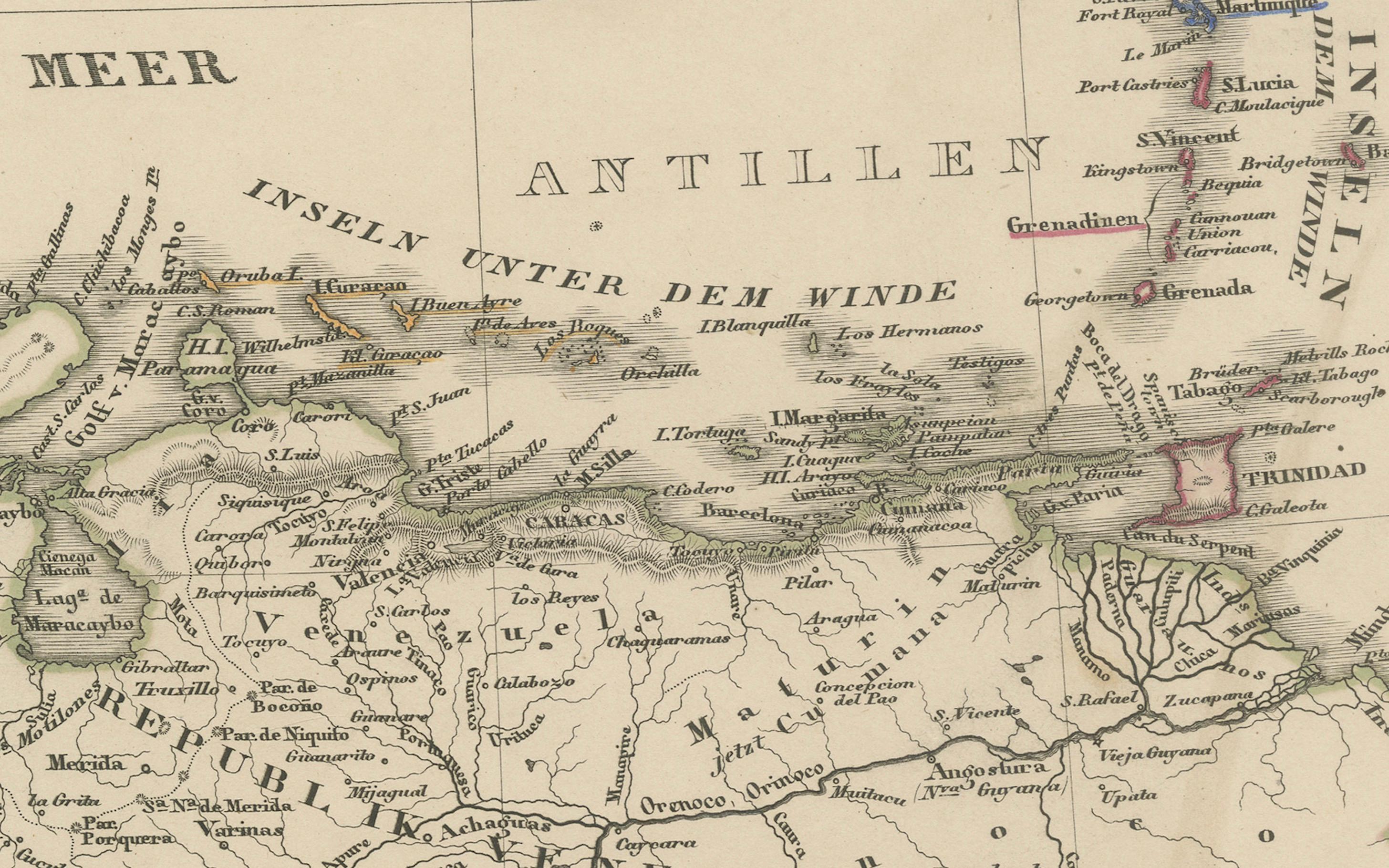
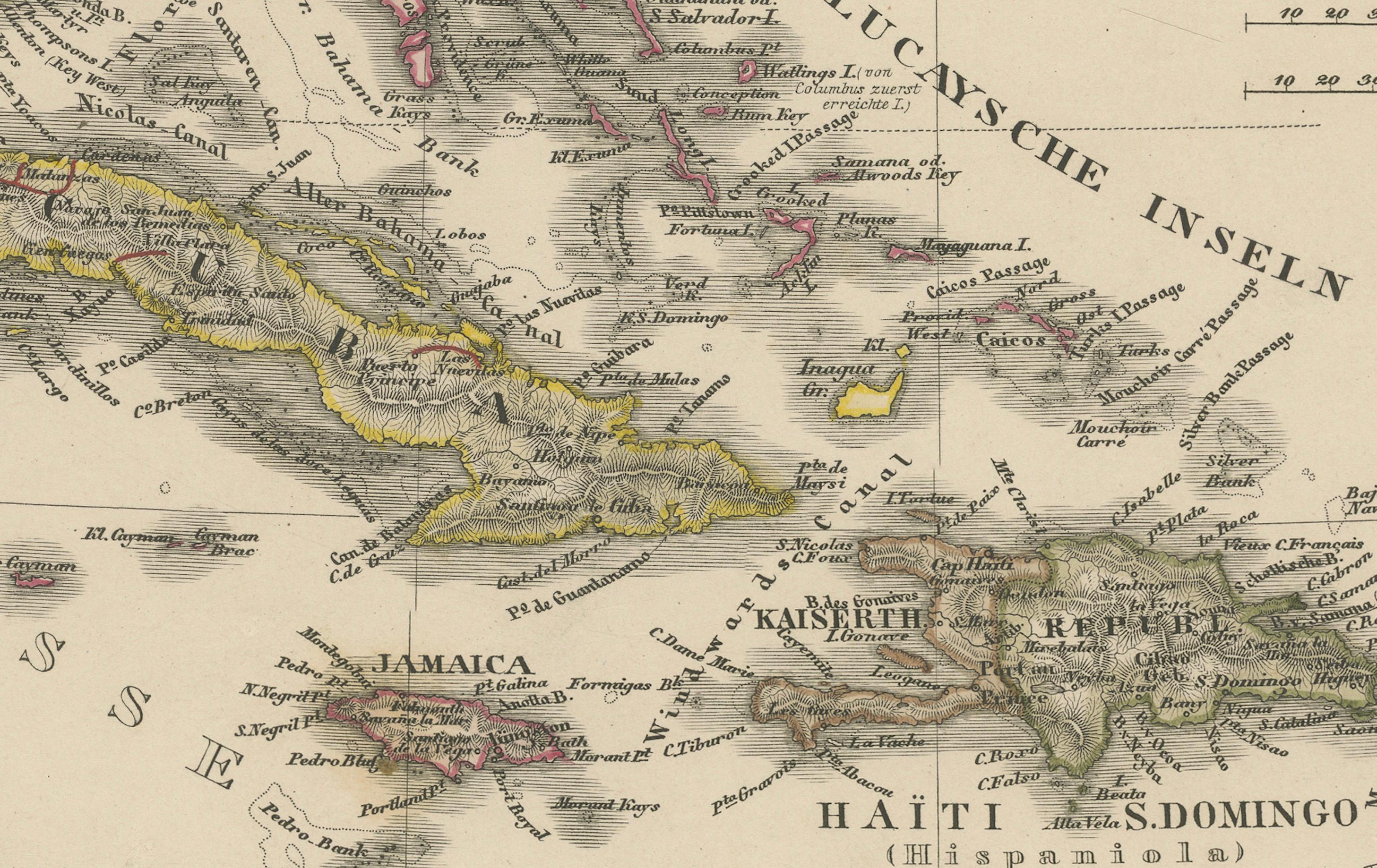
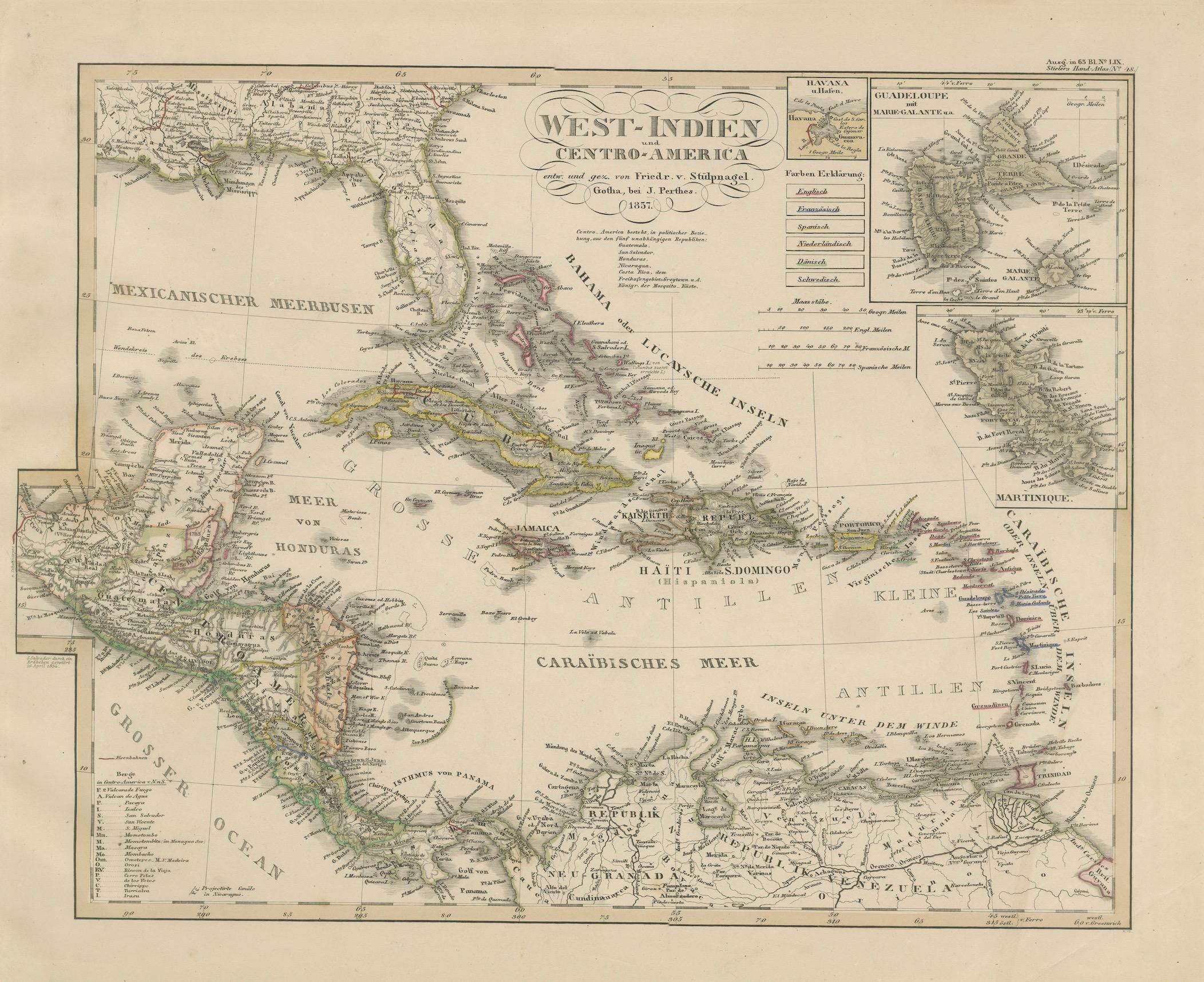
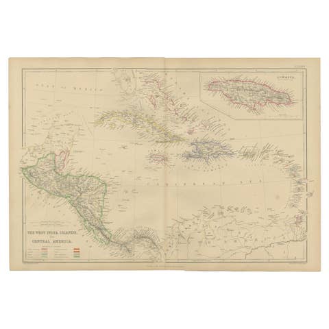
This finely engraved and hand-colored map titled "West-Indien und Centro-America" was published in 1857 by Justus Perthes in Gotha and drawn by F. von Stülpnagel. It offers a beautifully detailed view of the Caribbean region and the connecting lands of Central America, during a pivotal time in 19th-century colonial and maritime history.
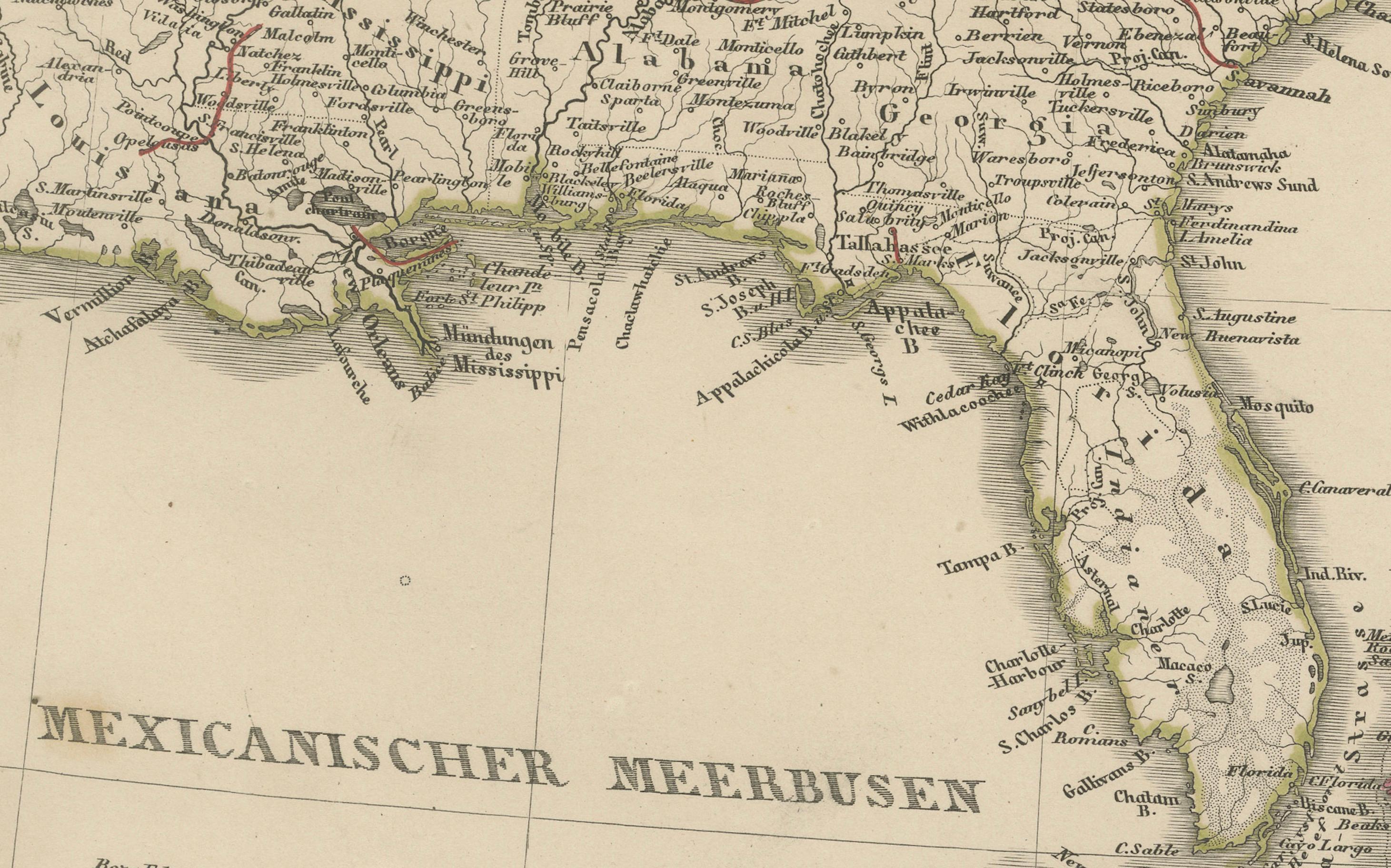
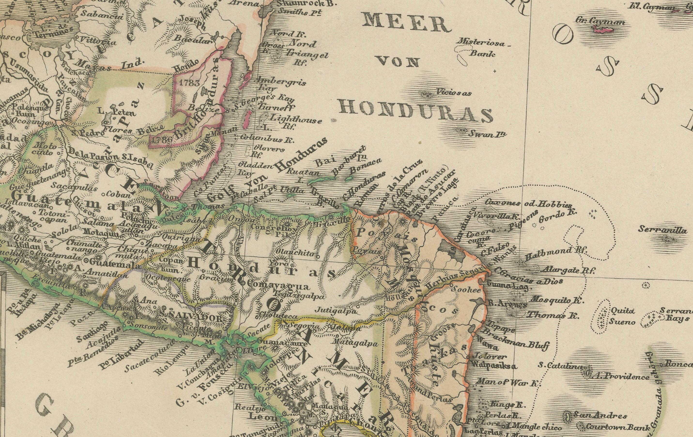
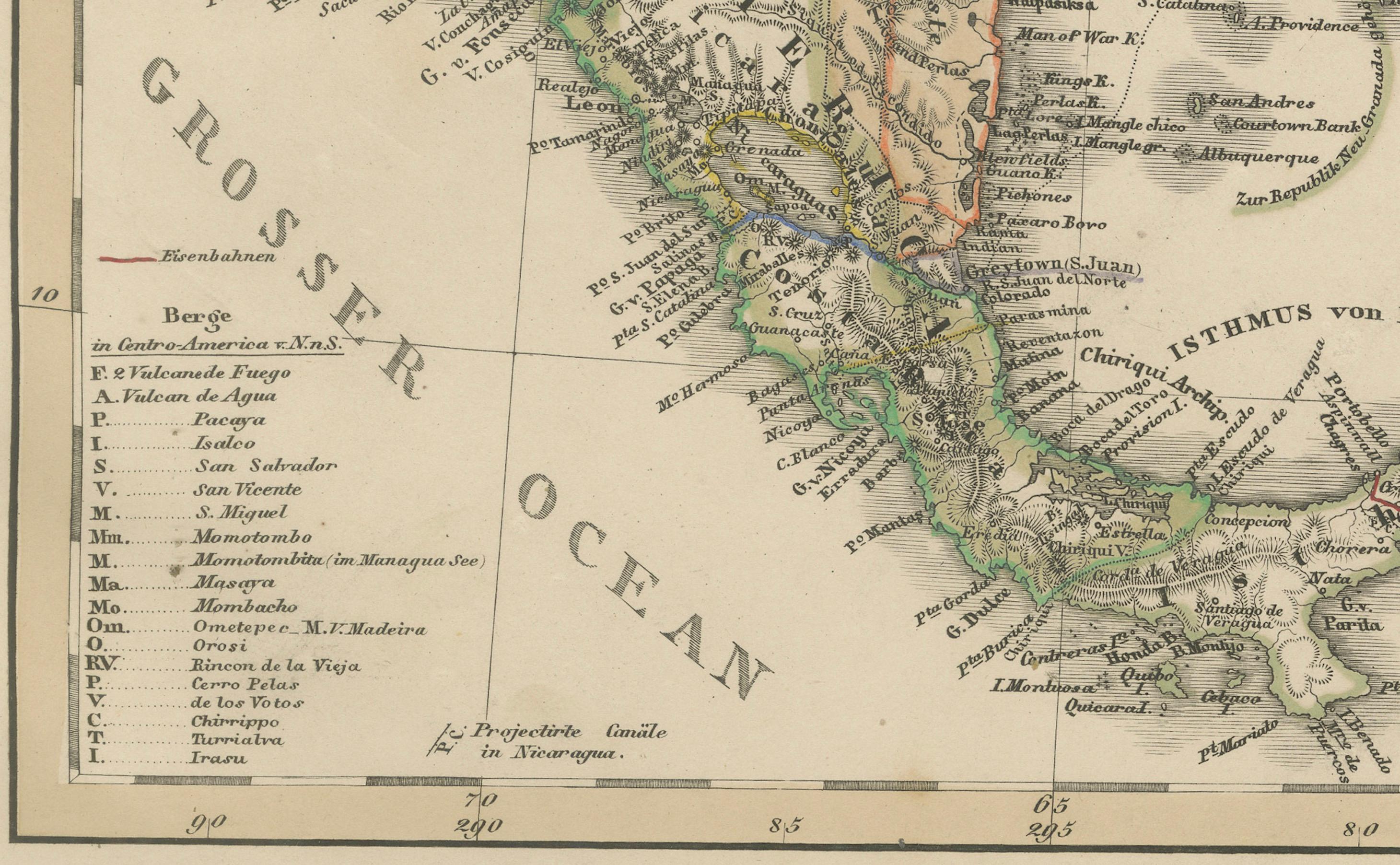
The map covers a broad swath of territory including Cuba, Jamaica, Hispaniola (Haiti and the Dominican Republic), Puerto Rico, the Bahamas, and the Lesser Antilles stretching toward Trinidad and the Venezuelan coast. Central America is rendered in fine detail, from southern Mexico through Guatemala, Honduras, Nicaragua, Costa Rica, and Panama, all annotated with extensive place names, rivers, and political boundaries of the era.
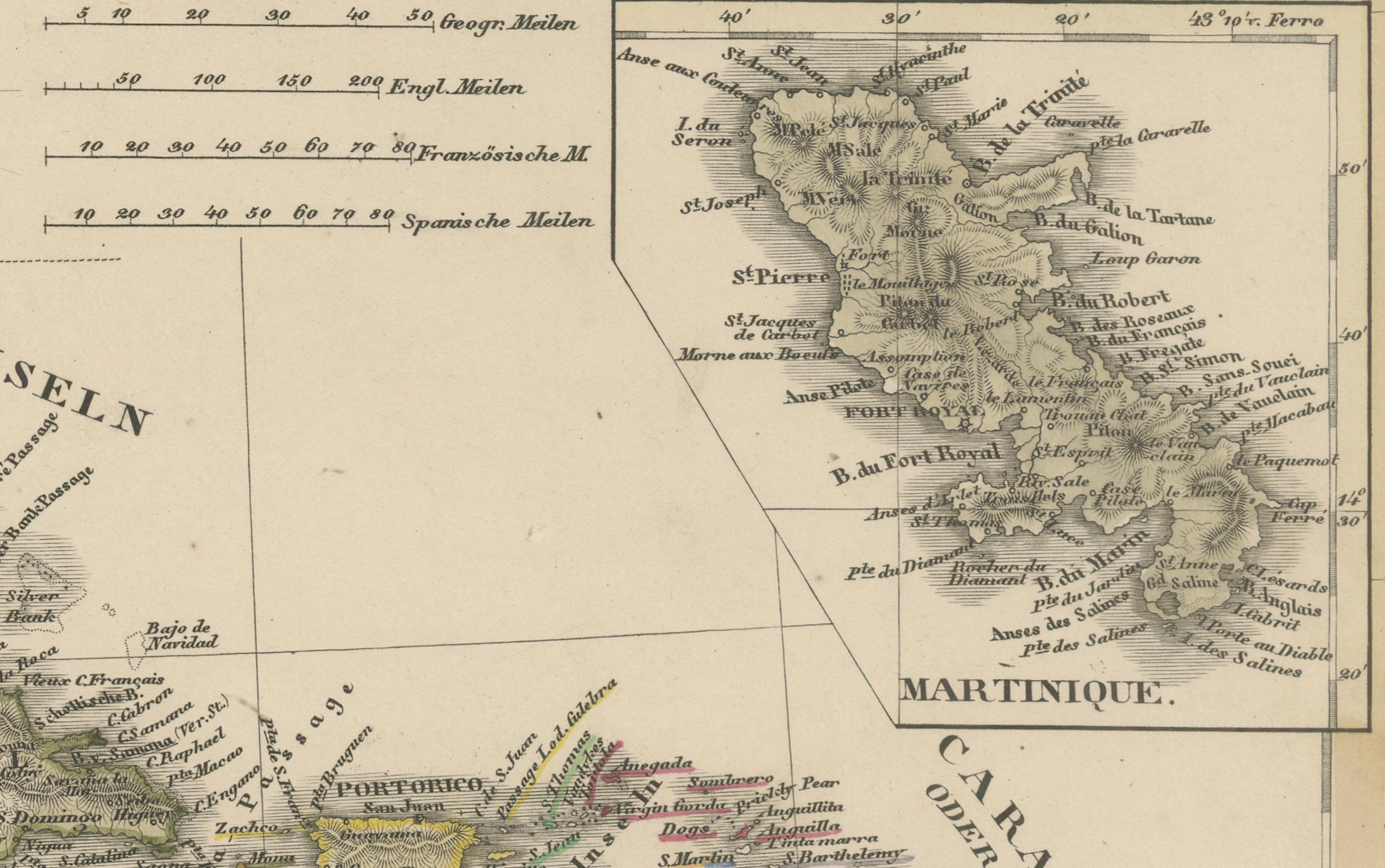
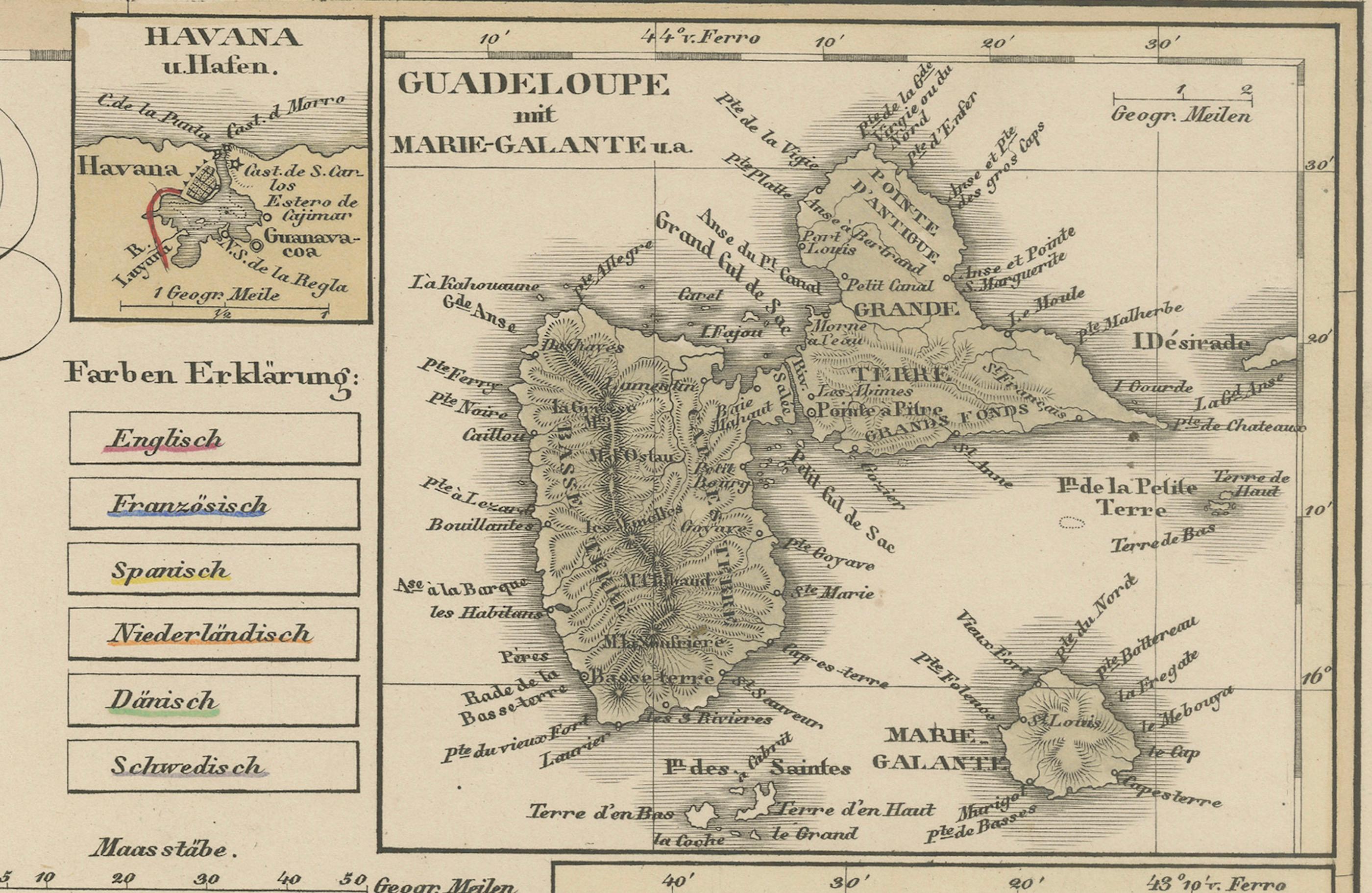
Inset maps include:
– The city and harbor of Havana
– The islands of Guadeloupe
– The island of Martinique
– A section of the Yucatán peninsula
The color coding indicates the colonial possessions of major European powers at the time, including Spanish, British, French, Dutch, and Danish territories. This classification provides insights into the geopolitical complexity of the Caribbean before the full wave of independence movements in the region.
Notably, the map includes precise topographical elements and German annotations for towns, ports, capes, and waterways, reflecting the cartographic excellence typical of mid-19th-century German atlases.
Collectors of Caribbean history, maritime cartography, or colonial studies will appreciate the historical and visual richness of this plate, which comes from Stieler’s Hand-Atlas, one of the most influential atlases of the 19th century.
Condition report:
Very good condition with light age toning. Minor margin wear. Strong plate impression, vibrant original hand-coloring.
Framing tips:
Pair with a deep walnut or dark wood frame and a warm-toned mat to enhance the Caribbean hues and bring out the delicate labeling. Ideal for libraries, coastal homes, or historical collections.
Technique: Engraving with original hand coloring
Maker: F. von Stülpnagel / Justus Perthes, Gotha, 1857