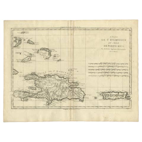
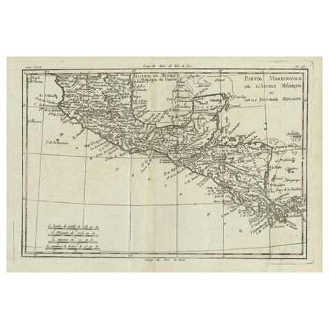
Antique Caribbean Map, Jamaica Cuba Saint-Domingue, Tardieu, c.1775
€ 995
Original antique · The actual sheet photographed · Certificate of authenticity on request · Sold unframed · Worldwide shipping from € 15 (rates)
Date
1775
Sheet size
49.9 × 52.7 cm (19.6 × 20.7 in)
Condition
Good
Reference
BG-13755-3
What the condition grades mean
Excellent
Bright and clean, with no faults worth mentioning.
Very good
Only light signs of age, such as faint toning.
Good
Normal signs of age for a sheet of this period: toning, some foxing, small marks or neat old repairs.
Fair
Clear faults such as staining, tears or repairs, priced to match.
Every fault we see is written in the condition note, and the whole sheet is shown uncropped in the photos.
Condition
Very good condition for age with a strong, dark impression and attractive original hand coloring. Original center fold as issued. Minor age-related toning and occasional light spotting consistent with eighteenth-century paper. Wide margins.
About this sheet
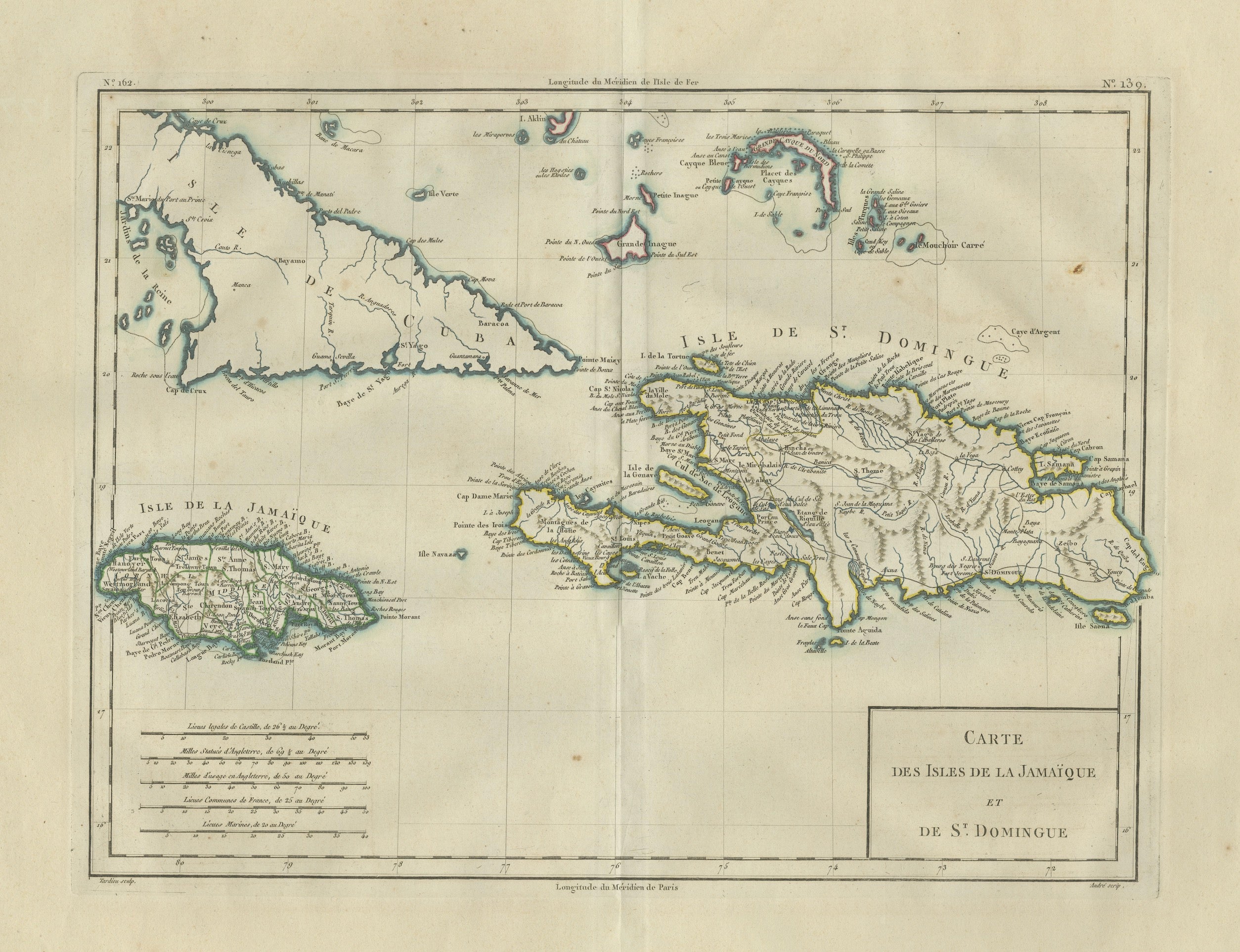
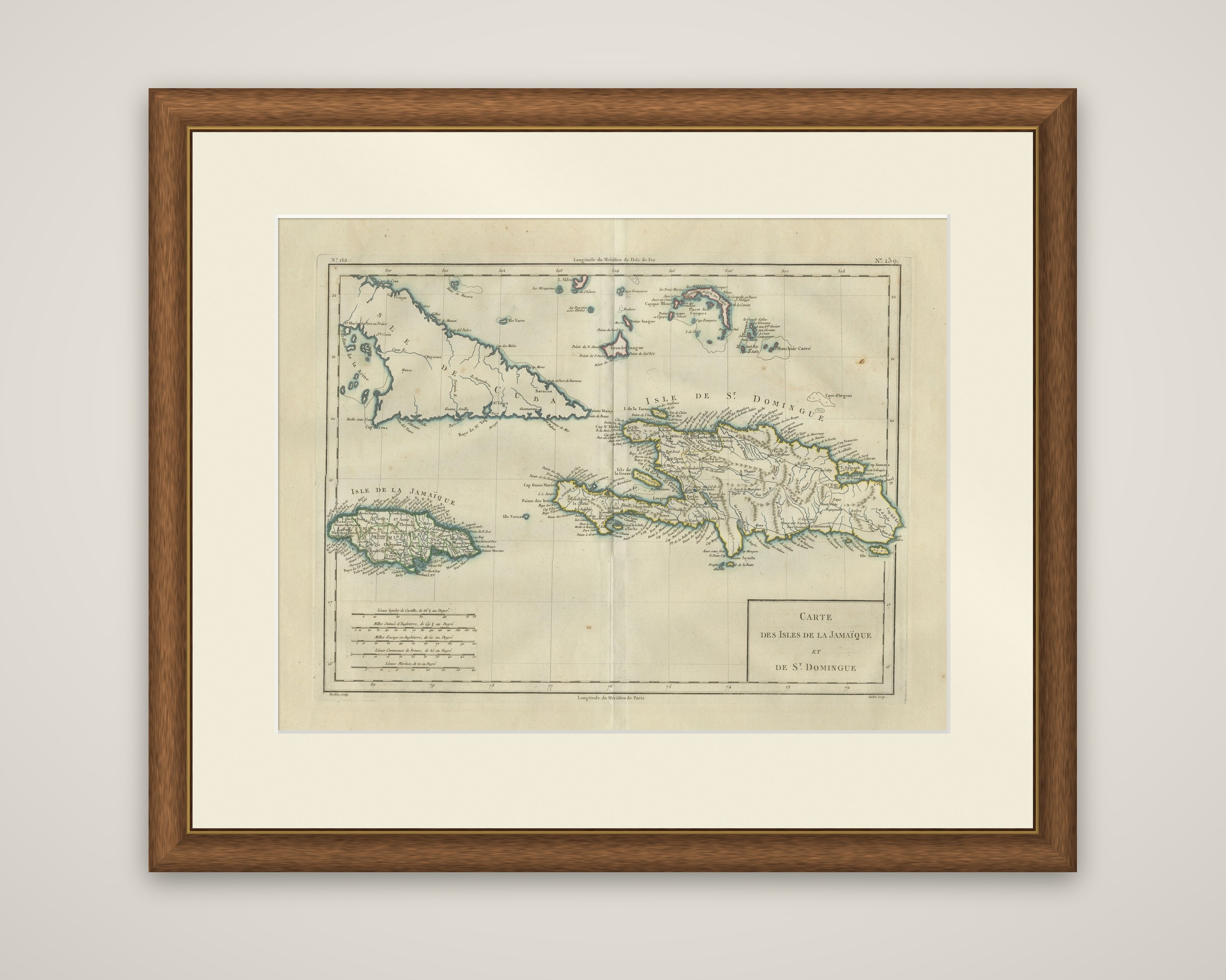
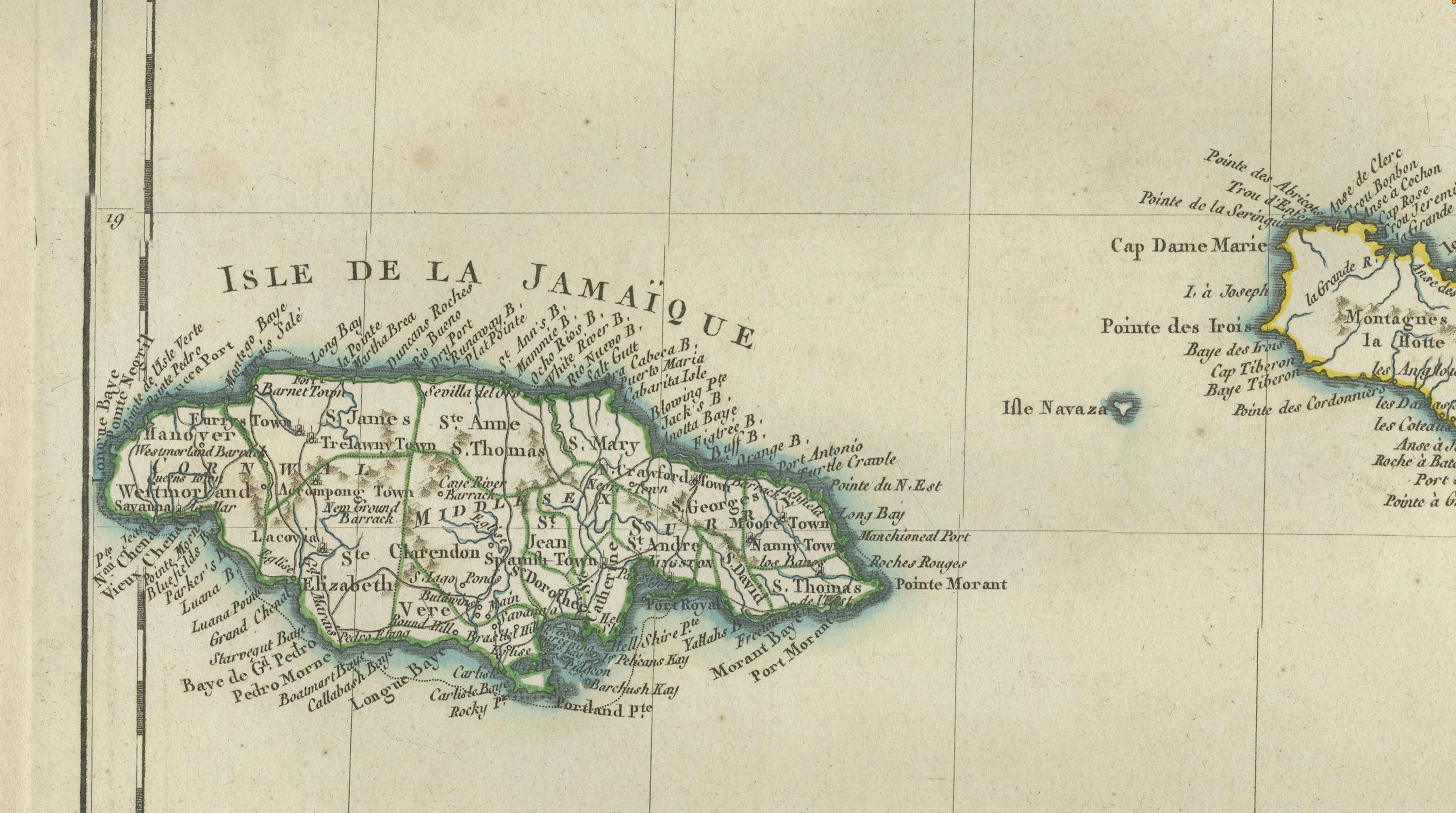
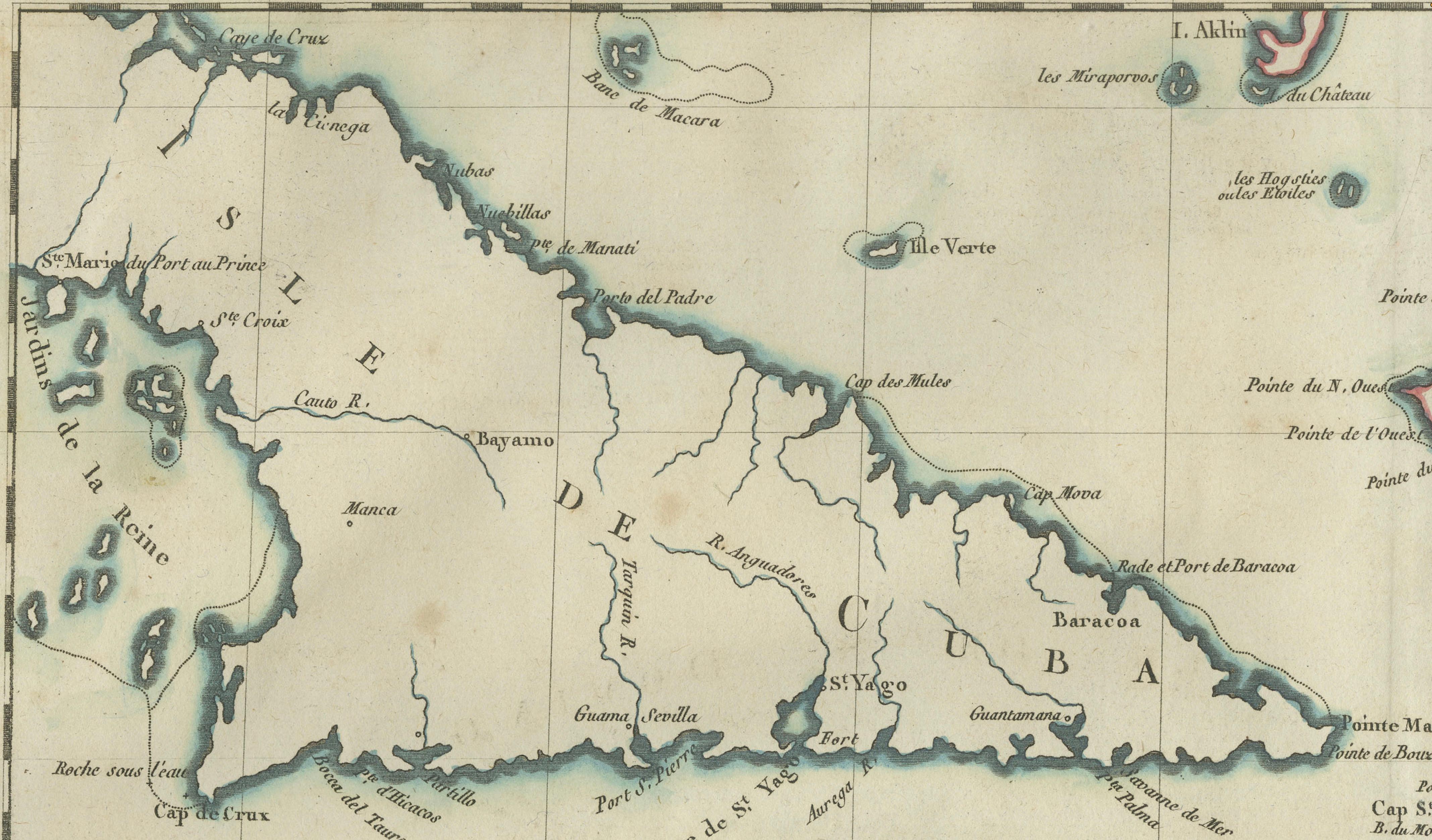
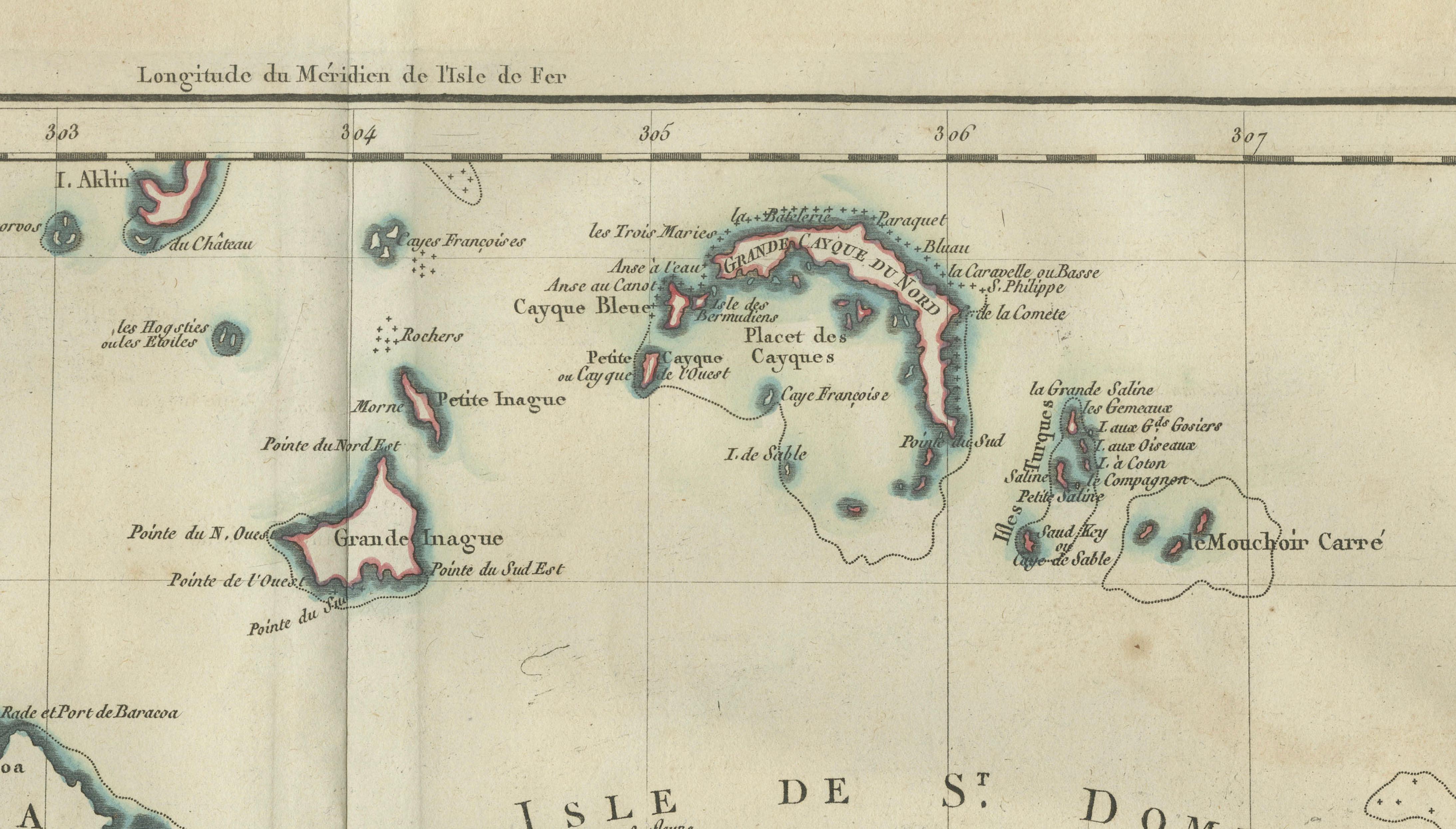
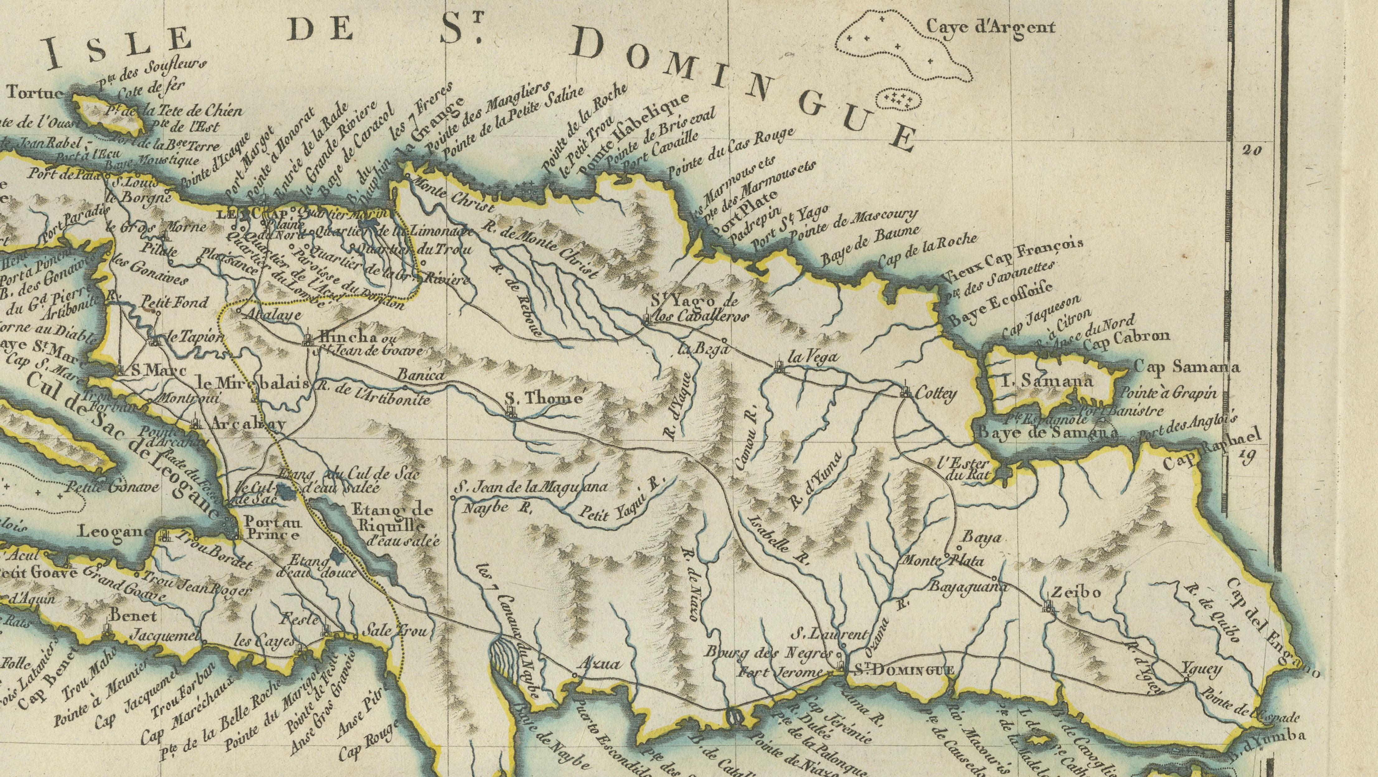
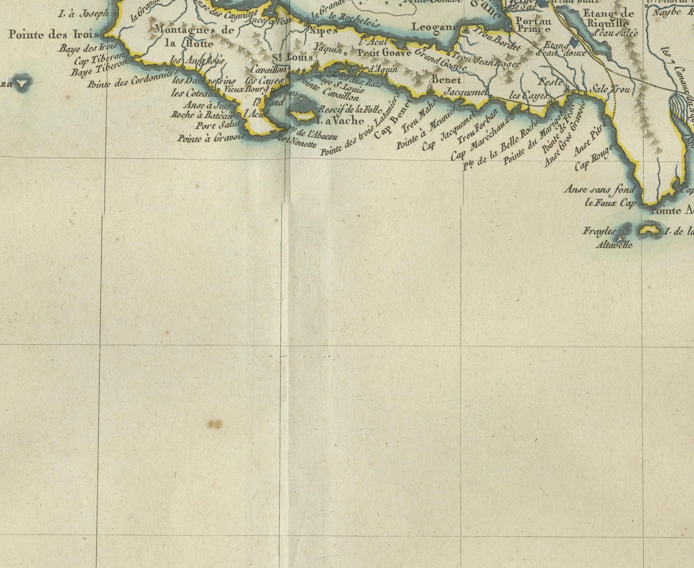
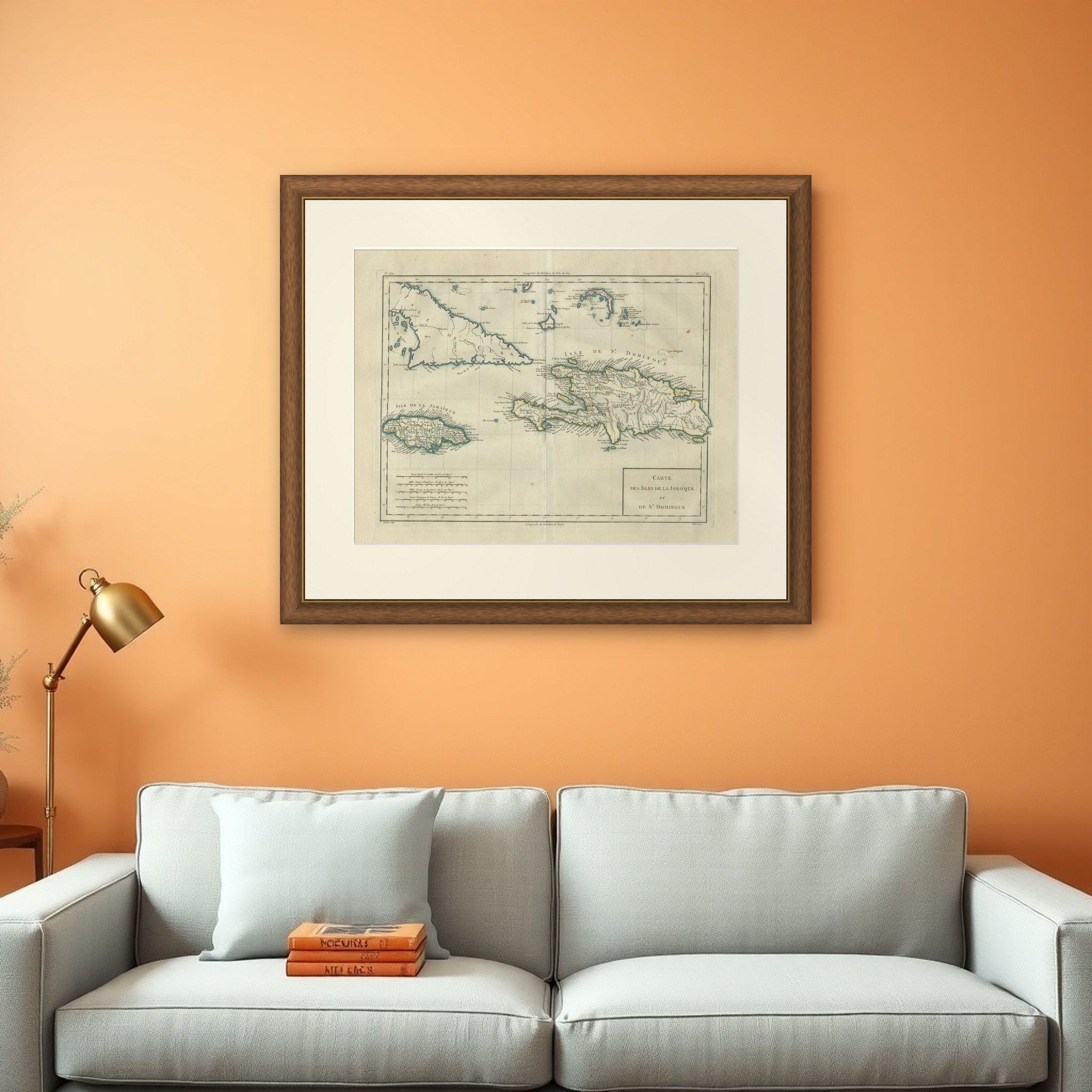
The islands of Jamaica, Cuba and Saint-Domingue in the Caribbean, a map titled "Carte des Isles de la Jamaïque et de St. Domingue", published in Paris around 1775. It is an original copper engraving with hand-colored outlines in blue, green, yellow and pink. The imprint reads "Tardieu sculp." with the draftsman's credit "Andre scrip.".
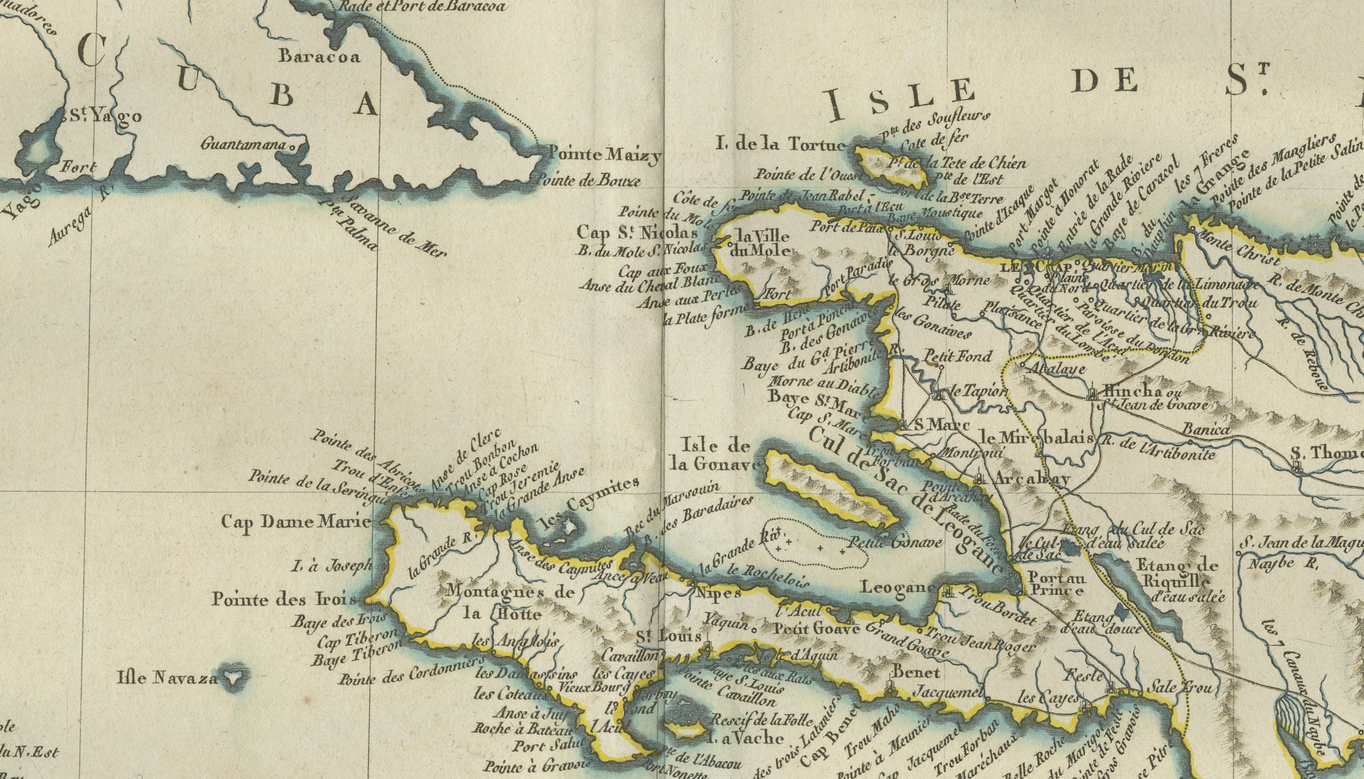
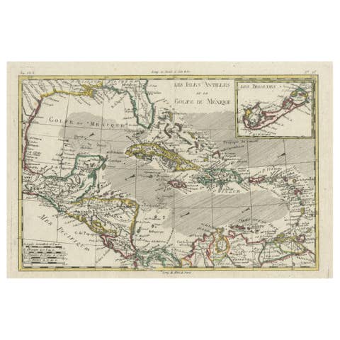
The sheet shows the western end of Cuba at the upper left, with its long southern coast and the keys and shoals along it, and the Cayman Islands to the south and the Bahamas and Turks and Caicos at the top right. Jamaica lies at the lower left, the island of Saint-Domingue (modern Haiti and the Dominican Republic) runs across the center to the right, and Tortuga and the Gonâve island are marked. The coasts are lined with place names, bays and soundings, and a table of scales in several leagues and miles stands at the lower left. The title is set in a ruled box at the lower right.
The map was made for French readers at a time when Saint-Domingue was France's richest Caribbean colony, while Jamaica was held by Britain and Cuba by Spain.