About this sheet
North America & the Pacific – Rigobert Bonne’s Enlightenment Map, c.1780
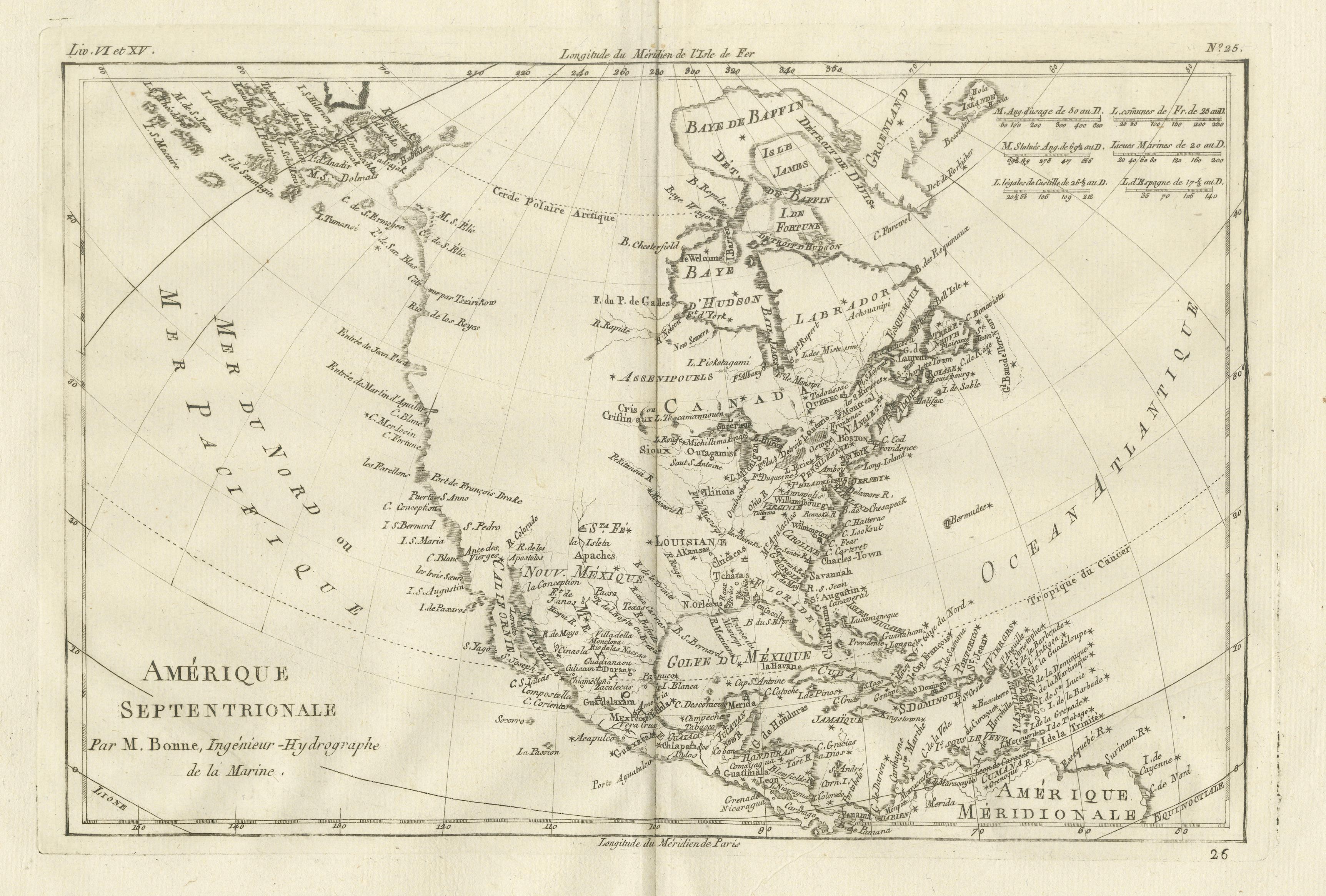
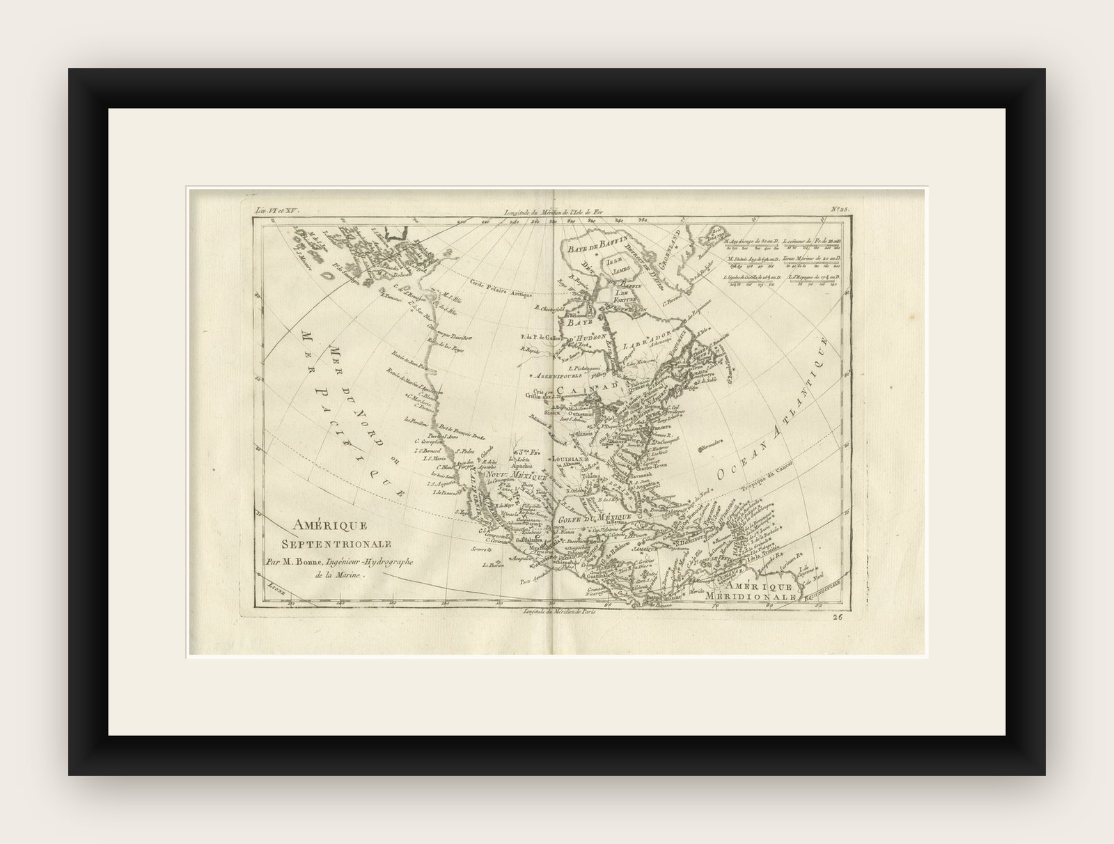
This striking late 18th-century map presents North America in a broad global context, extending from the Atlantic seaboard across the continent to the Pacific Ocean. It was engraved around 1780 by the leading French cartographer Rigobert Bonne, Hydrographer to the French Navy, and reflects the Enlightenment drive toward systematic, scientific geography.
This original antique engraving is offered unframed, enabling custom framing to personal or interior preferences.
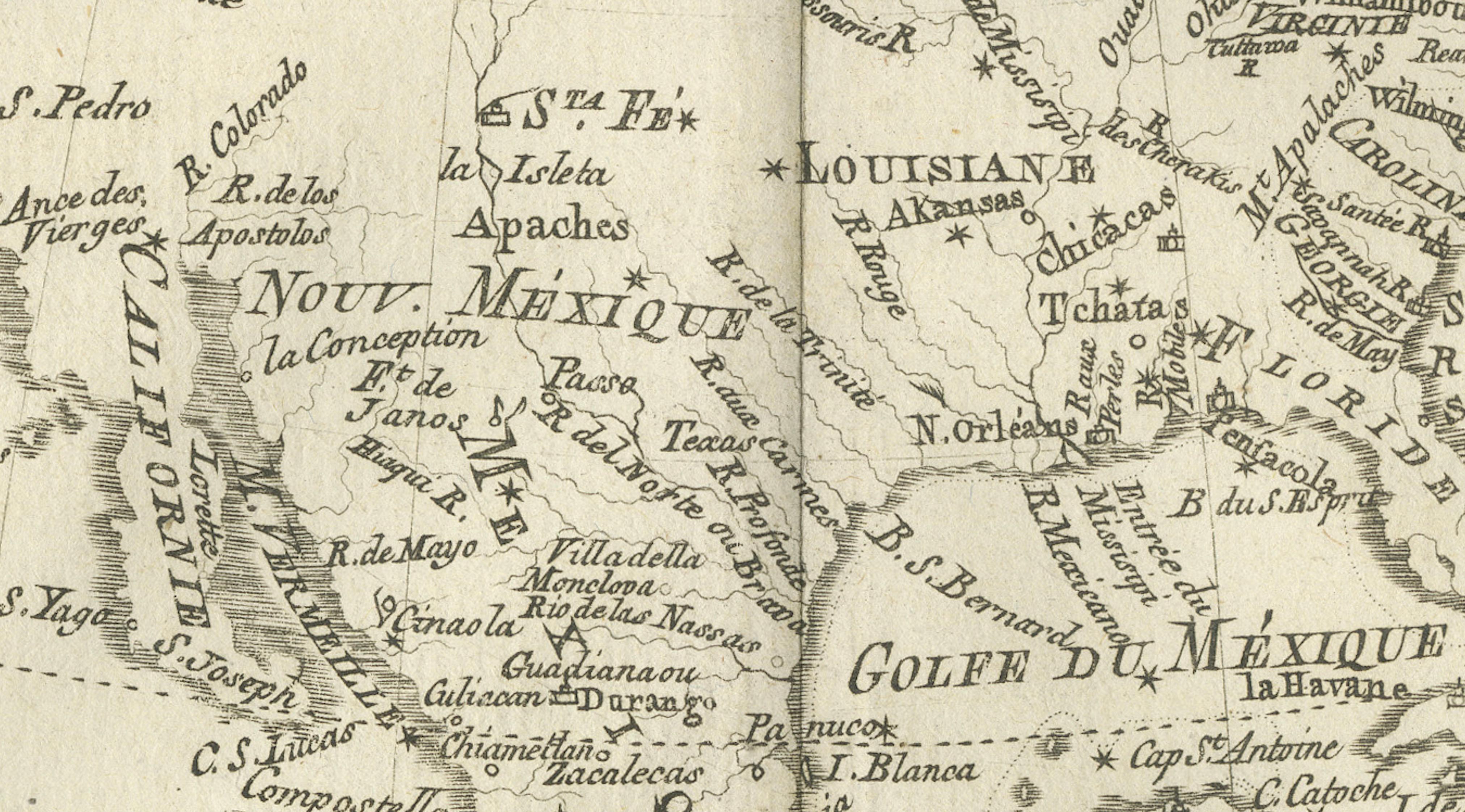
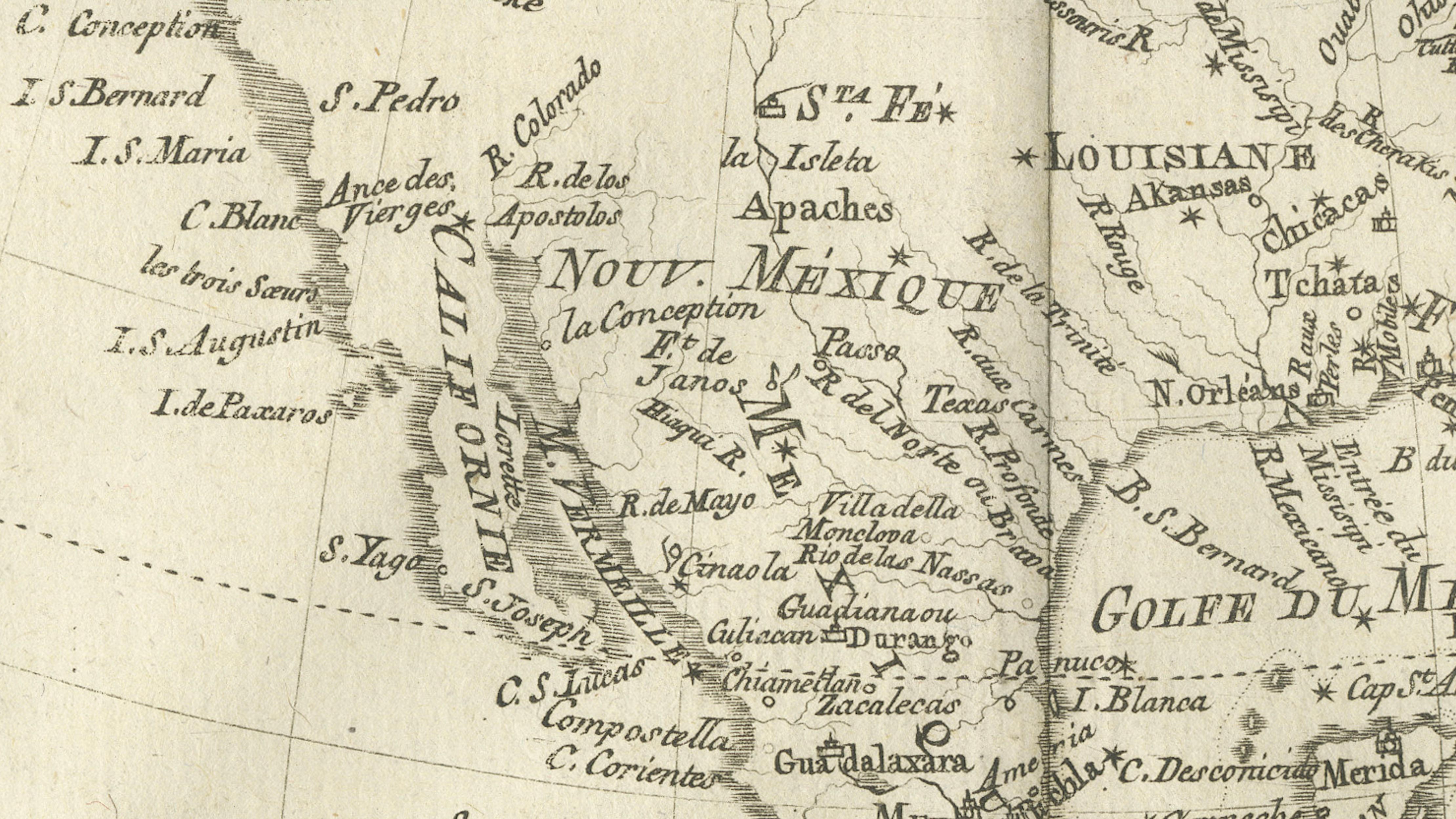
The map depicts Canada, Louisiana, New Mexico, and the eastern parts of Spanish America in considerable detail, with rivers, settlements, indigenous regions, and colonial territories carefully labeled. The eastern seaboard shows a dense concentration of place names, highlighting the geopolitical importance of the British and French colonies, while the interior reveals major river systems such as the Mississippi and Ohio, central to trade and expansion. To the west, the Pacific coastline is shown with comparatively limited detail, illustrating the evolving European understanding of the region during this period.
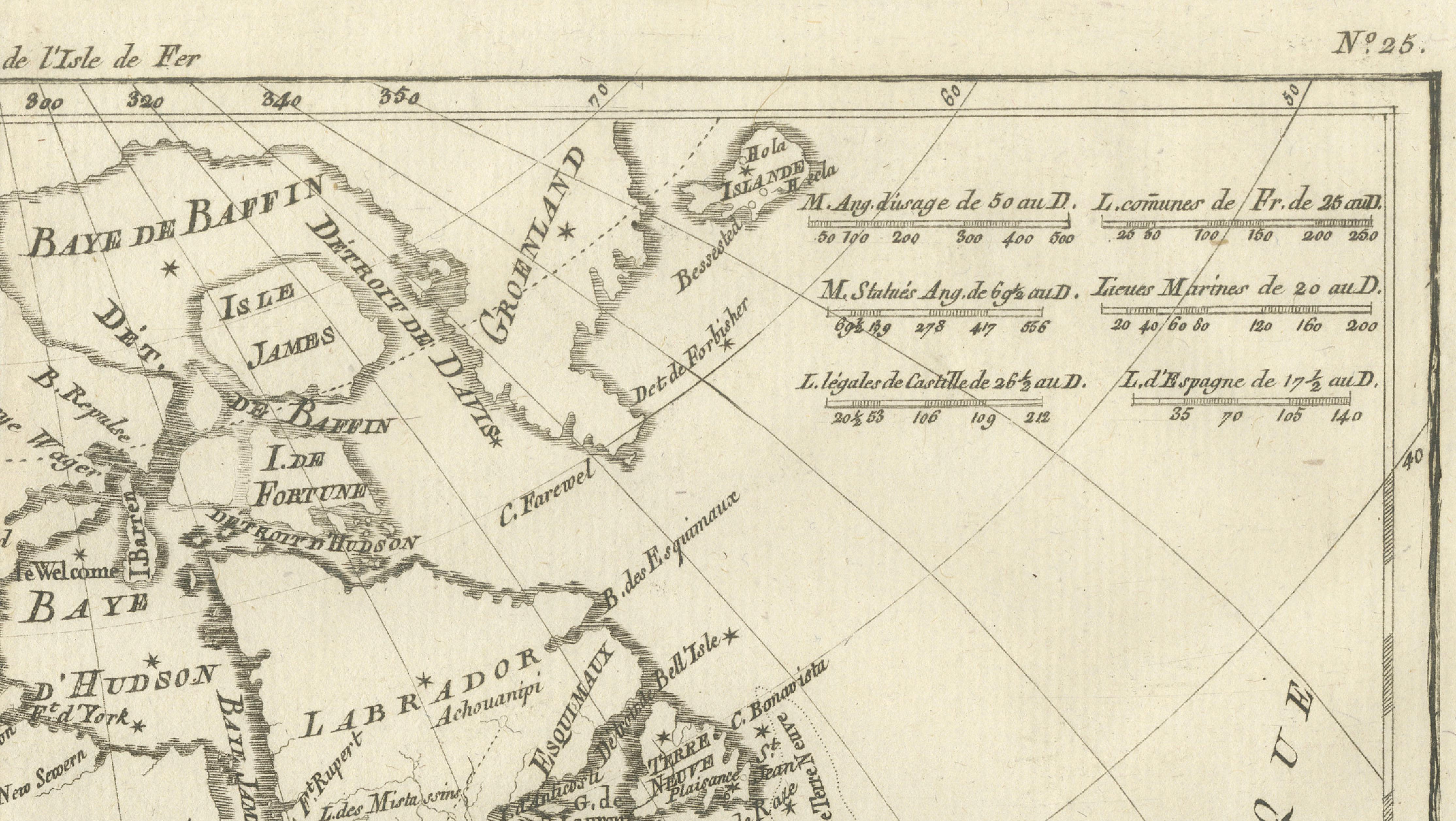
Bonne’s characteristic cartographic clarity is evident throughout. The use of a projected grid and curved latitude and longitude lines situates the continent within a global framework, emphasizing navigation and scientific measurement rather than decoration. Mountain ranges are indicated with restrained engraved shading, and ornamentation is deliberately minimal, allowing geographic information to dominate.
This map was produced at a pivotal moment in North American history, shortly after the American Revolutionary period, when territorial boundaries and colonial ambitions were in flux. As such, it offers valuable insight into how the continent was perceived by European powers in the late 18th century. Today, maps by Rigobert Bonne are highly regarded for their historical importance, clean aesthetics, and intellectual presence.
This example is especially appealing to collectors of American and Canadian cartography, Enlightenment-era maps, and maritime or colonial history. Its expansive scope and calm tonality also make it a powerful decorative statement, well suited to a study, library, or contemporary interior with a historical or global theme.
Condition report:
Good condition. Light age-related toning with minor scattered spotting and small handling marks. Central fold visible as issued. Plate mark present.
Framing tips:
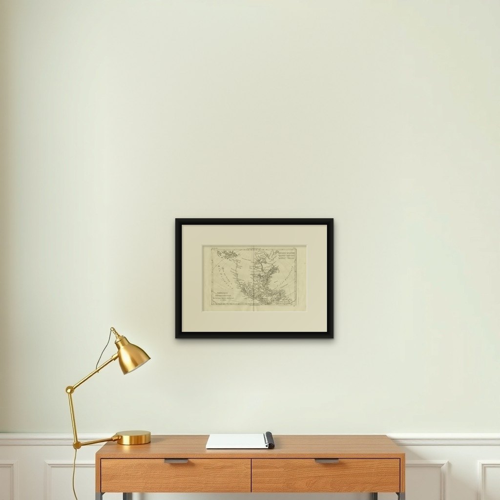
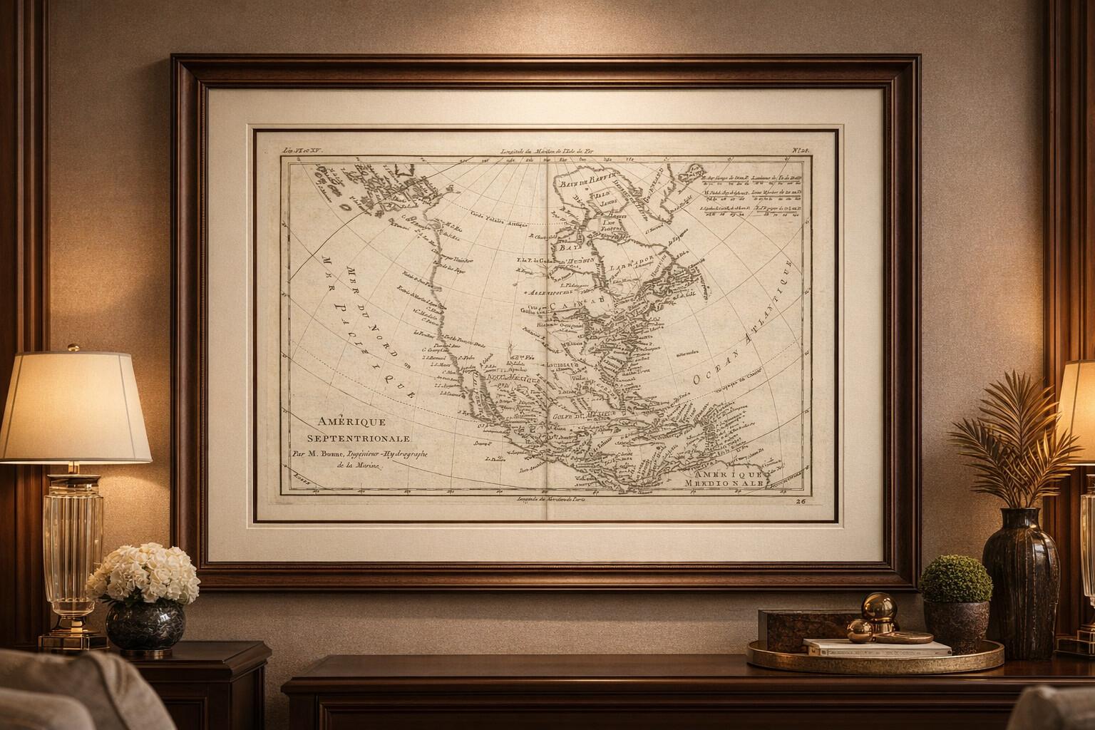
A wide off-white or pale ivory mat will enhance the engraved detail and give the map visual balance. A dark walnut, blackened wood, or understated antique gilt frame complements the map’s scholarly character and works well in both classic and modern interiors.