Antique Maps of Europe
1,158 original sheets
Western Europe 1908Northern Europe 146Central Europe 88Eastern Europe 102South-East Europe 135Southern Europe 275Europe as a Whole 169
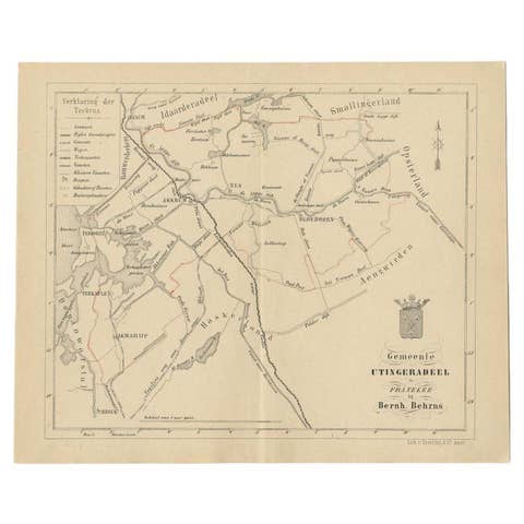
Antique Map of the Dutch Utingeradeel Township by Behrns, 1861
1861 · € 120
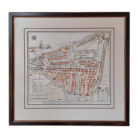
Antique City Plan of Rotterdam in Frame, ca.1850
1850 · € 650

Antique Map of New South Wales in Australia, ca. 1850
1850 · € 1 030
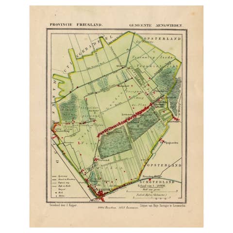
Antique Map of Frisian Municipality of Aengwirden in the Netherlands, 1868
1868 · € 130
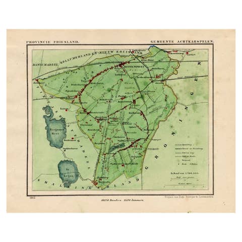
Antique Map of Frisian Municipality of Achtkarspelen in the Netherlands, 1868
1868 · € 140
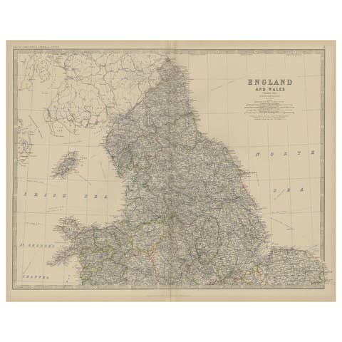
Antique Map of, Northern England and Wales by Johnston, 1882
1882 · € 270
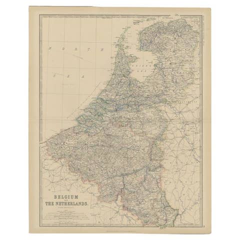
Antique Map of Belgium and the Netherlands by Johnston, 1882
1882 · € 105

Antique Map of British Guayana with Insets of Georgetown, Devil's Rock Etc, 1851
1851 · € 450
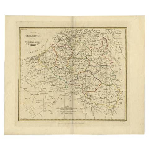
Antique Map of Belgium and Part of the Southern Netherlands, 1810
1810 · € 250
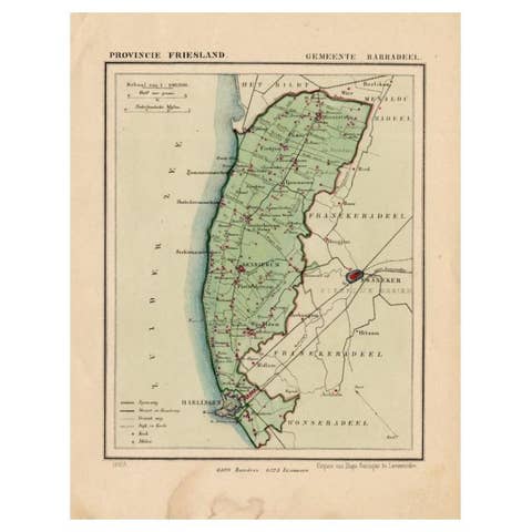
Antique Map of Barradeel, a County in Friesland, The Netherlands, 1868
1868 · € 105
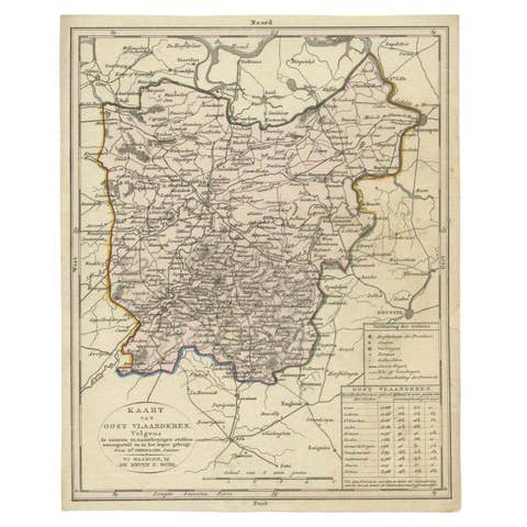
Antique Map of East Flanders, Belgium, c.1840
1840 · € 125
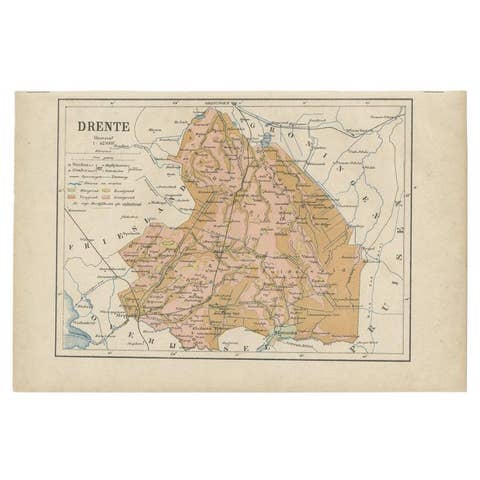
Antique Map of Drenthe, Province in the Netherlands, 1883
1883 · € 123
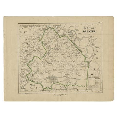
Antique Map of Drenthe, Province of the Netherlands, C.1870
1870 · € 110
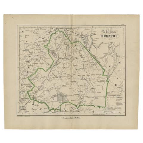
Antique Map of Drenthe, The Netherlands, 1864
1864 · € 83
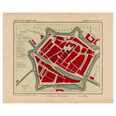
Antique Map of Dokkum a City in the North of Friesland, the Netherlands, 1868
1868 · € 210
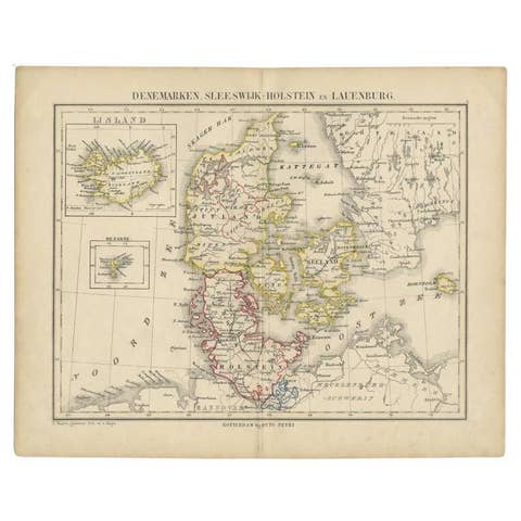
Antique Map of Denmark with Insets of Iceland and the Faroe Islands, c.1873
1873 · € 163
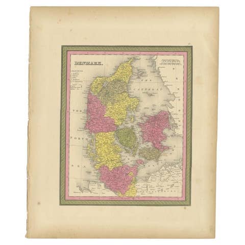
Antique Map of Denmark, Original and Decorative, c.1846
1846 · € 200
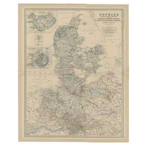
Denmark & German Empire – Antique Map by A.K. Johnston, 1882 Atlas Edition
1882 · € 240
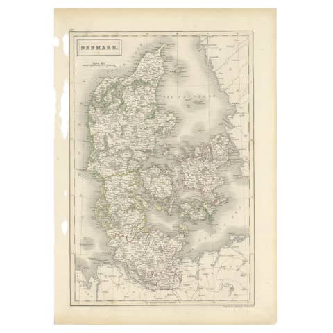
Antique Map of Denmark by Hall, circa 1820
1820 · € 120
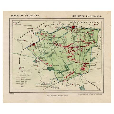
Antique Map of Dantumadeel, Friesland, The Netherlands, 1868
1868 · € 108
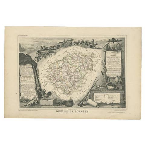
Antique Map of the Famous French Wine Area of Correze, 1854
1854 · € 120
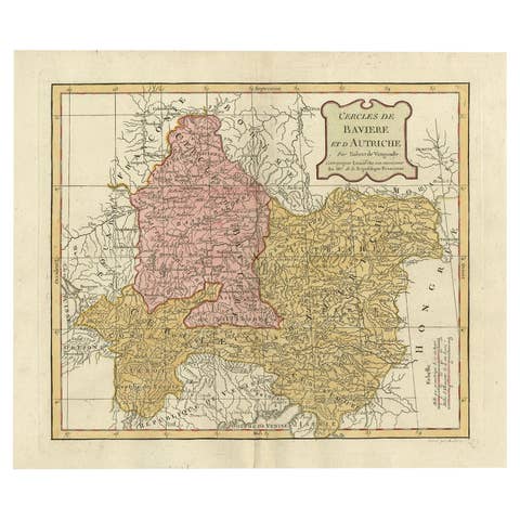
Antique Map of Bavaria in Southern Germany and Austria, 1806
1806 · € 350
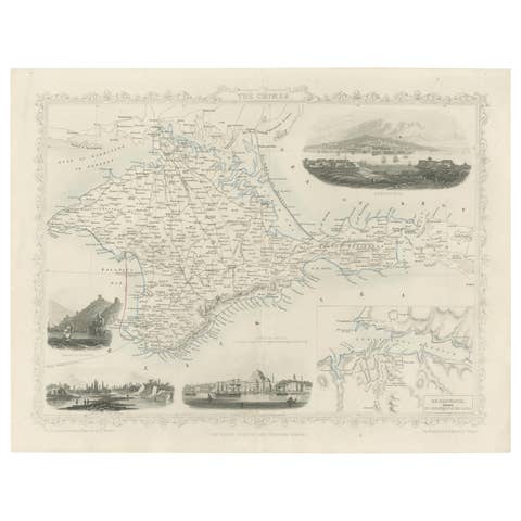
A Decorative Detailed Map of the Crimea, with an Inset Map of Sebastopol, c 1851
1851 · € 550
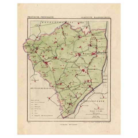
Antique Map of Frisian Township of Baarderadeel in the Netherlands, 1868
1868 · € 180

Antique Map of Flintshire in Wales, United Kingdom, c.1850
1850 · € 140
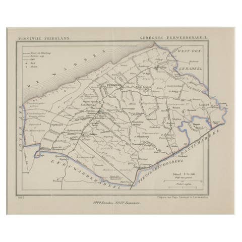
Antique Map of Ferwerderadeel, a County in Friesland, The Netherlands, 1868
1868 · € 180
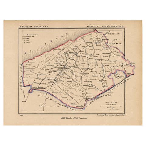
Antique Map of the County Ferwerderadeel, Friesland, The Netherlands, 1868
1868 · € 160
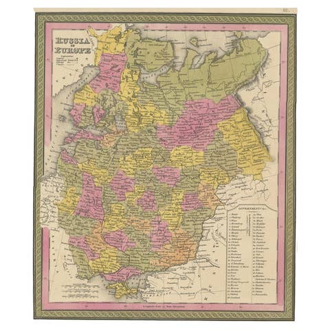
Antique Map of Old European Russia, 1846
1846 · € 280
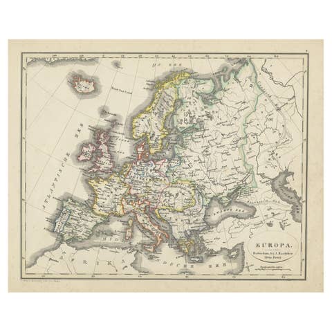
Antique Map of Europe from an Old Dutch School-Atlas, 1852
1852 · € 140

Two Antique Maps of Europe on One Sheet in Different Time Periods, 1842
1842 · € 650
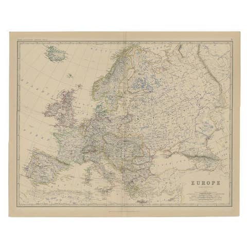
Antique Map of the European Continent, 1882
1882 · € 135
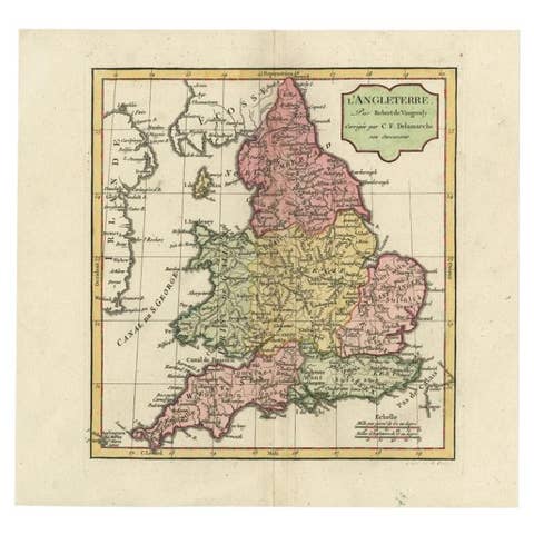
Antique Map of England with French Title, 1806
1806 · € 300
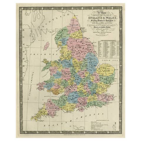
Colorful Antique Map of England and Wales Divided in Counties, 1854
1854 · € 650
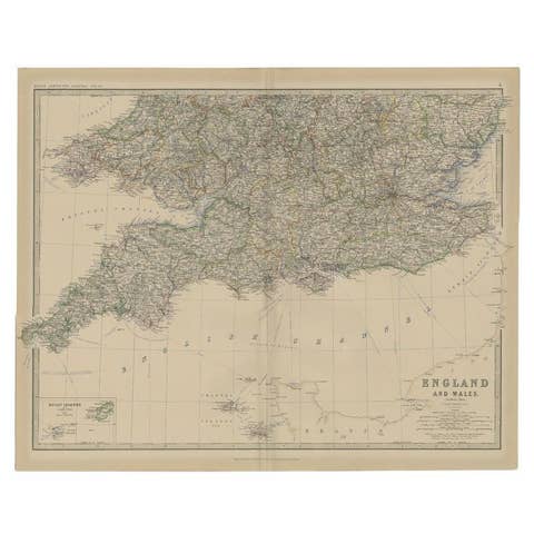
Antique Map of England and Wales by Johnston, 1882
1882 · € 143
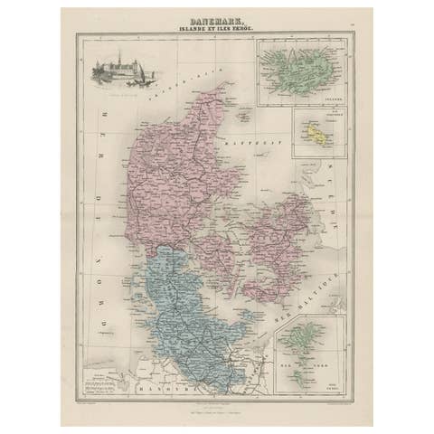
Antique Map of Denmark, Iceland and the Faroe Islands by Migeon, 1880
1880 · € 117
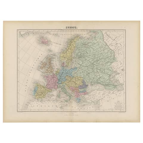
Antique Map of the Europe Continent, 1880
1880 · € 180

Antique Map of England and Wales with Decorative Vignettes, 1851
1851 · € 450
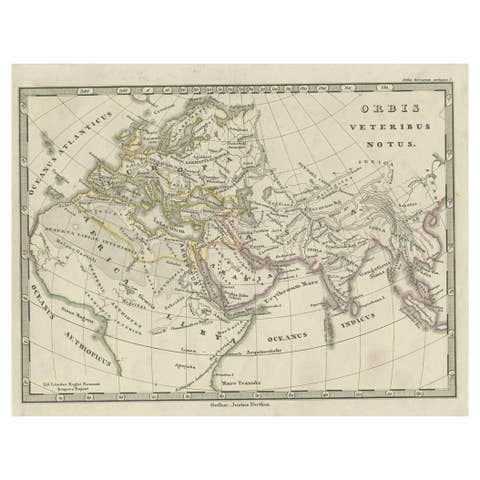
Antique Map of Europe and Part of Asia and Africa, 1848
1848 · € 99
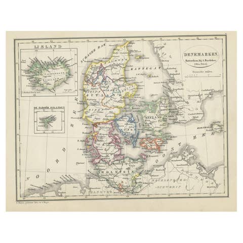
Antique Map of Denmark with An Inset of Iceland, 1852
1852 · € 140
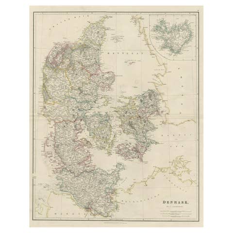
Antique Map of Denmark with an Inset Map of Iceland, 1832
1832 · € 350
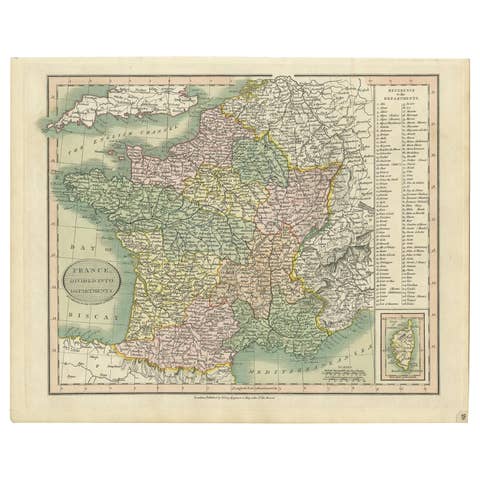
Antique Map of France Showing Post-Napoleonic Departments, 1816
1816 · € 280

Antique Map of France by Pierre M. Lapie, 1842, Decorative Wall Art
1842 · € 290
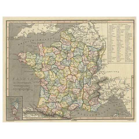
Antique Map of France with Inset Map of the Island of Corsica, 1820
1820 · € 260
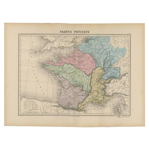
Antique Map of France by Migeon, 1880
1880 · € 130
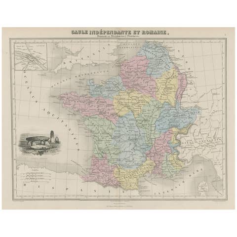
Antique Map of France in Ancient Roman Times, 1880
1880 · € 190
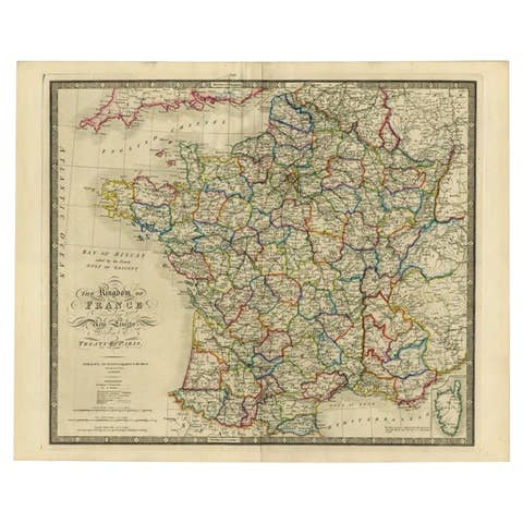
Antique Map of France according to the Treaty of Paris '1815', Published in 1854
1815 · € 770
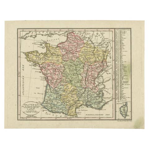
Antique Map of France with an Inset Map of the Island of Corsica, c.1820
1820 · € 180
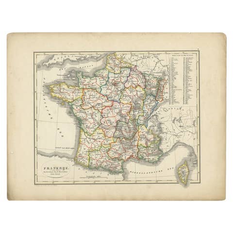
Antique Map of France from an Old Dutch School Atlas, 1852
1852 · € 120