About this sheet
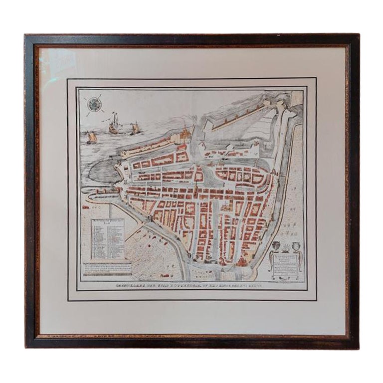
Antique map titled 'Grondkaart der stad Rotterdam (..)'. Original antique city plan of Rotterdam, the Netherlands. Published circa 1850.
Artists and Engravers: Published by Van der Meer en Verbruggen.
Condition: Good, general age-related toning. Minor wear and foxing. Frame included, few small defects. Please study image carefully.
Date: c.1850
Overall size: 75 x 70 cm
Image size: 53 x 46 cm
We also offer thousands of antique prints covering fields of interest as diverse as architecture, natural history, religion, ethnology and many more.They were the product of engraved, etched or lithographed plates. These plates were handmade out of wood or metal, which required an incredible level of skill, patience and craftsmanship. Whether you have a house with Victorian furniture or more contemporary decor an old engraving can enhance your living space.