United Kingdom & Ireland · 19th century
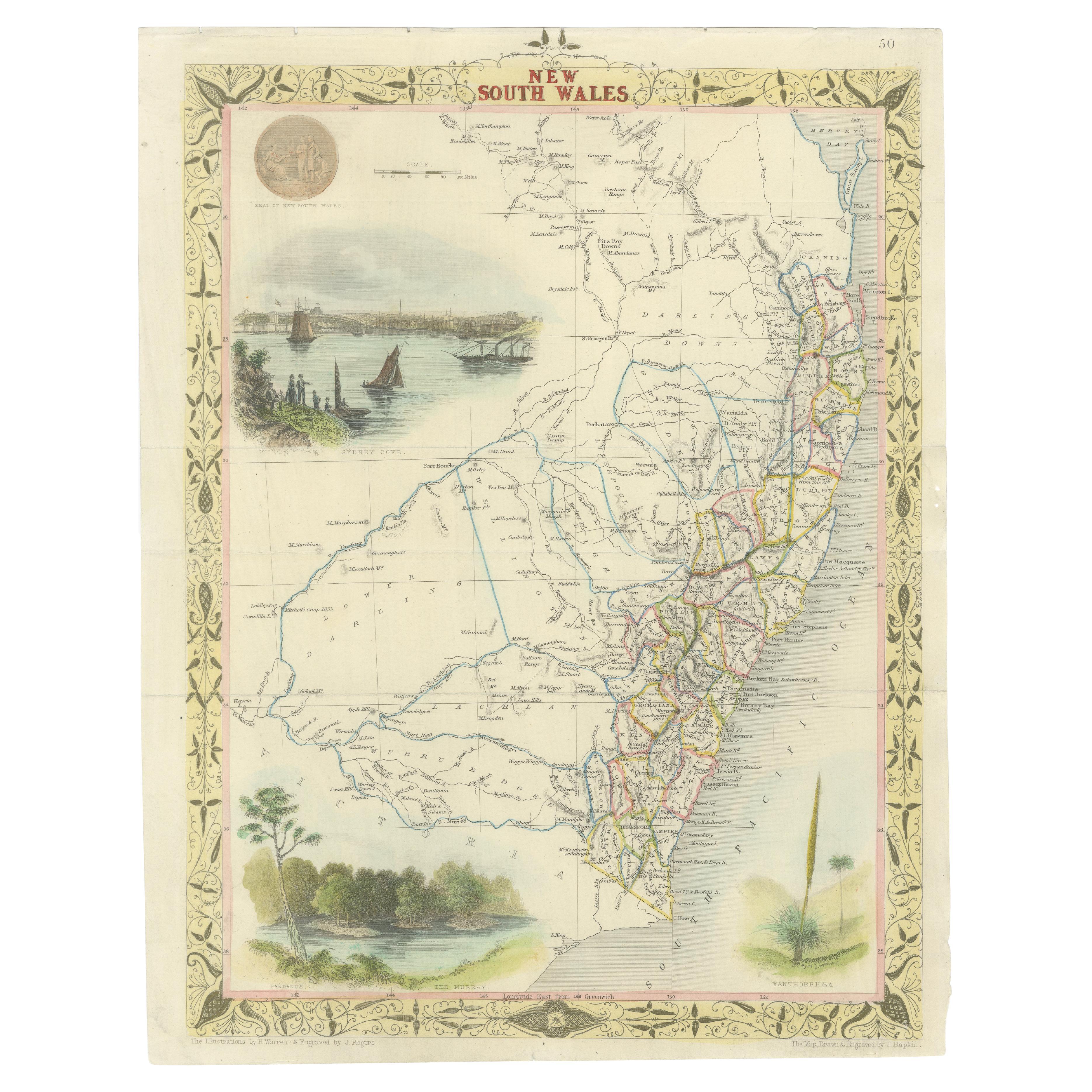
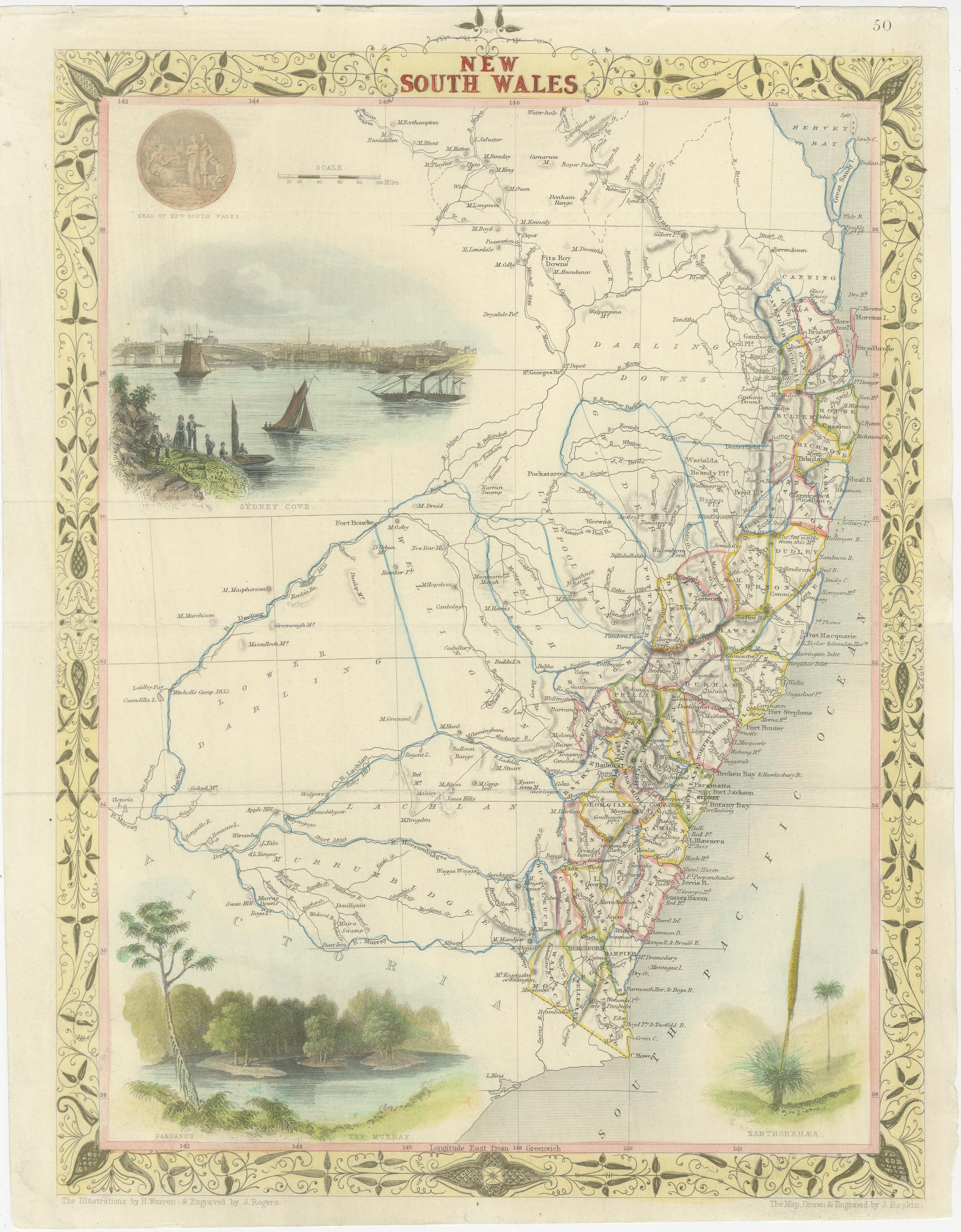
Antique Map of New South Wales in Australia, ca. 1850
€ 989
One of a kind: this is the sheet in the photographs. Ships from Langweer, the Netherlands.
- Date
- 1850
- Mapmaker / artist
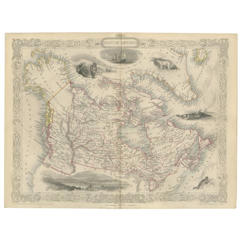
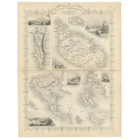
- Tallis, John Date: 1850 (circa) Color: Hand Color Source: Illustrated Atlas and Modern History of the World.
- Sheet size
- 34.04 × 24.9 cm (13.4 × 9.8 in)
- Condition
- Good
- Reference
- BG-13069-1
Condition
Very good. Please study image carefully or aks for more detailed photos.