Antique Maps
5,418 original sheets
Europe 3023Asia 1110Africa 236America 548Australia & Oceania 159World Maps 111Sea Charts 209Celestial Maps 22
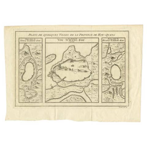
Antique Map of Cities in the Hubei and Hunan Provinces of China, 1755
1755 · € 290
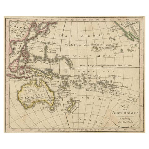
Antique Map of Oceania and the Pacific Ocean, Australia and New Zealand, 1826
1826 · € 160
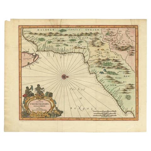
Antique Map of Choromandel, Golconda and Orixa, Malabar, India, 1744
1744 · € 1 150

Antique Map of Chinese and Independent Tartary, Korea and Japan, 1806
1806 · € 350

Antique Map of China, 1874
1874 · € 250
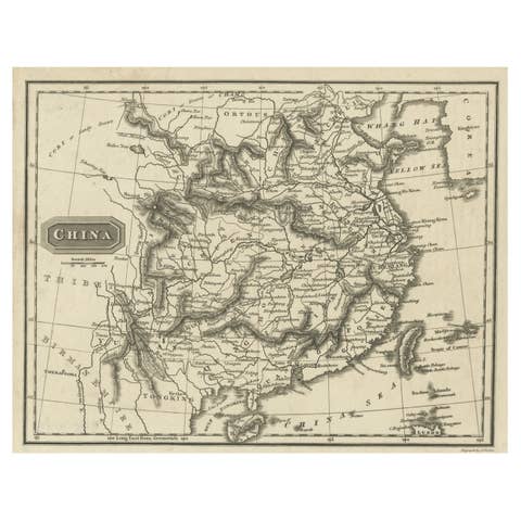
Old Map of the Mainland of China and the Islands of Formosa or Taiwan, c.1817
1817 · € 116
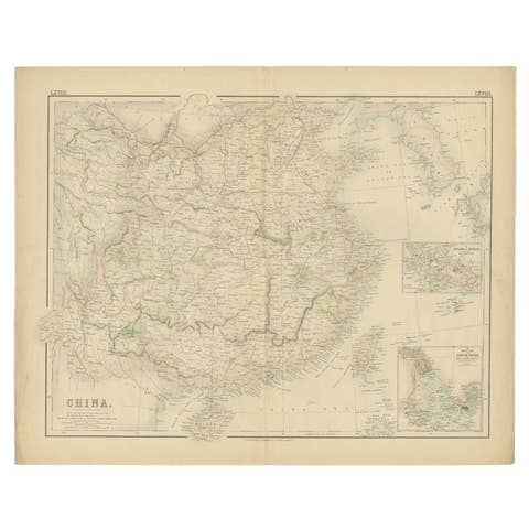
Antique Map of China with insets the Island of Chusan and Canton River, c.1860
1860 · € 120
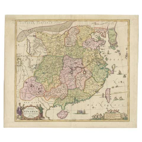
Antique Map of China and Korea incl Formosa and Hainan, by Janssonius, ca.1650
1650 · € 2 950
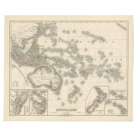
Map of Australia, New Zealand, Part of China, Japan and Southeast Asia, 1857
1857 · € 640

German Antique Map of Australia and New Zealand, 1857
1857 · € 250
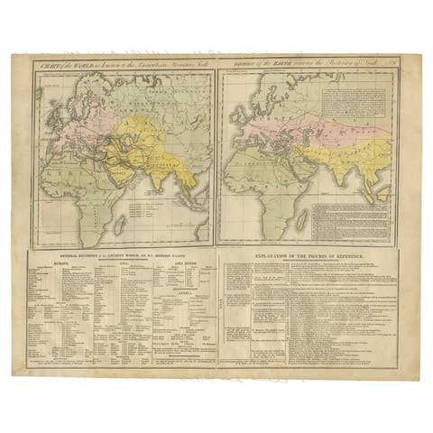
Maps of the Ancient World and the Posterity of Noah, 1820
1820 · € 250
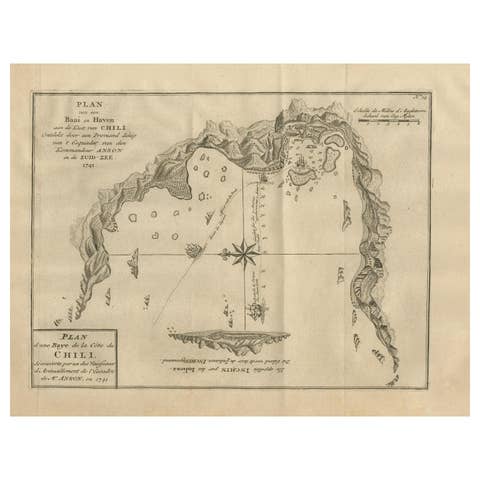
Antique Map of a Bay on the Coast of Chile, South America, c.1749
1749 · € 320
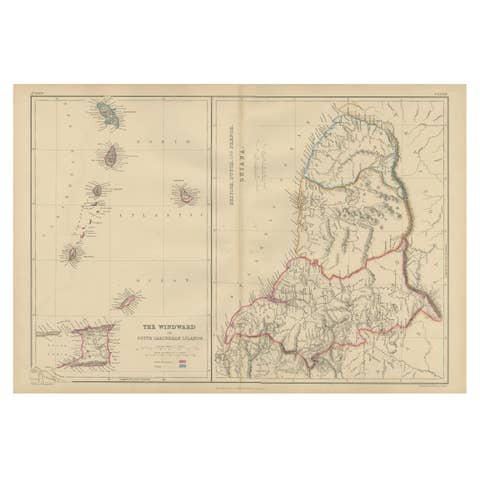
Antique Map the Windward or South Caribbean Islands and Guiana, 1859
1859 · € 260
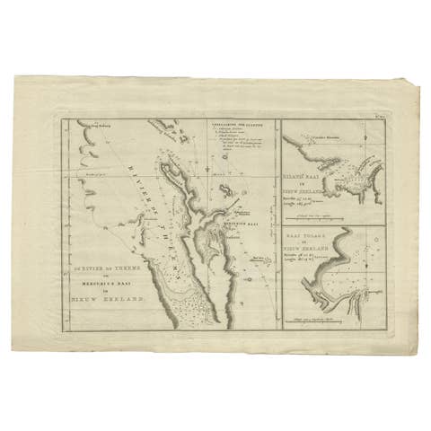
Detailed Map of New Zealand Showing the Route of Capt. Cook's First Voyage, 1803
1803 · € 506
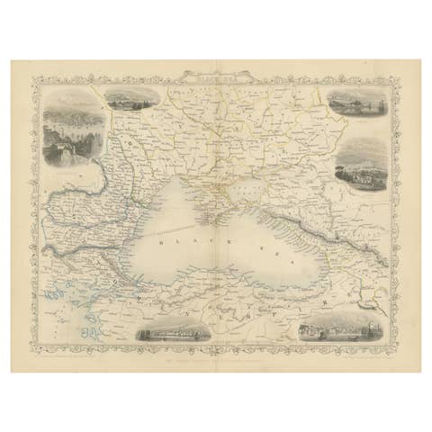
Mid 19th Century Map of the Black Sea with Decorative Vignettes, 1851
1851 · € 450
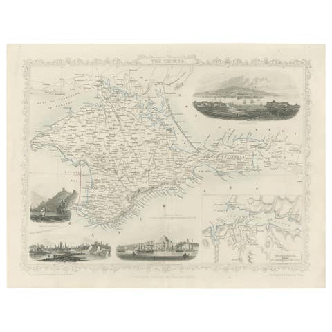
A Decorative Detailed Map of the Crimea, with an Inset Map of Sebastopol, c 1851
1851 · € 550
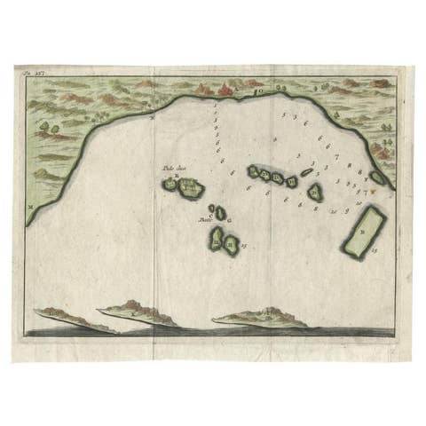
Antique Map of Banten Bay, Java, Indonesia, c.1725
1725 · € 150
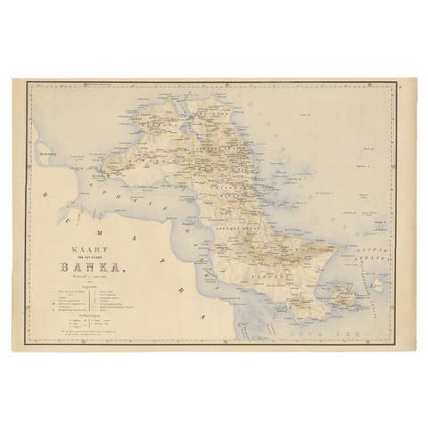
Antique Map of Bangka Island, Indonesia, 1885
1885 · € 272
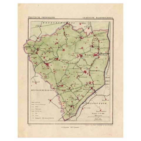
Antique Map of Frisian Township of Baarderadeel in the Netherlands, 1868
1868 · € 180
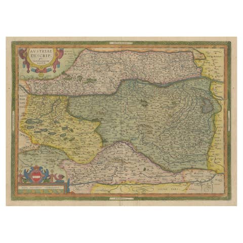
Antique Map of Austria by Ortelius, c.1612
1612 · € 750
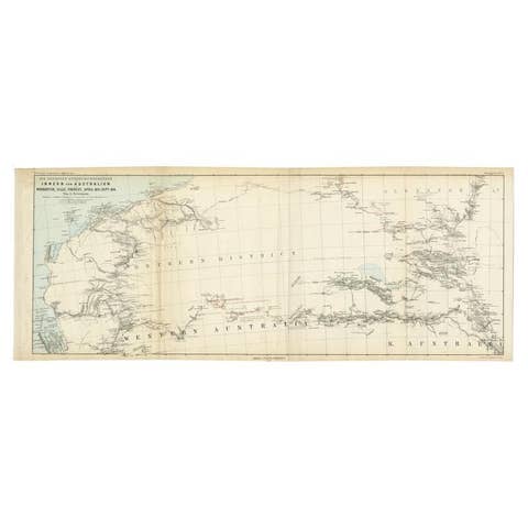
Antique Exploration Map of Australia from Sharks Bay to Alice Springs, 1876
1876 · € 250
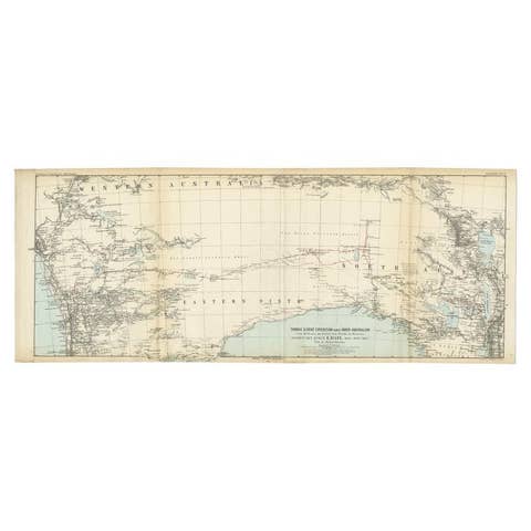
Antique Exploration Map of Australia from Beltana to Perth, 1876
1876 · € 250
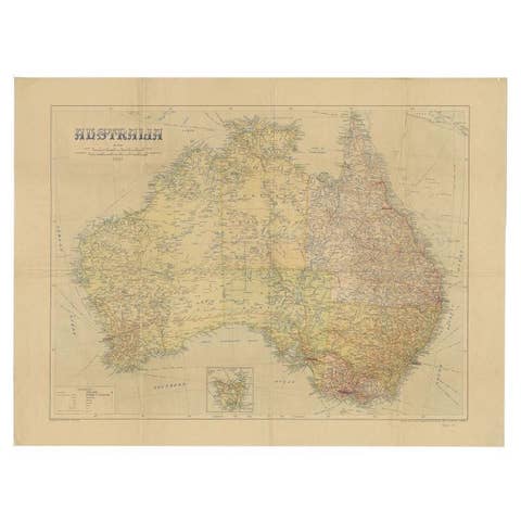
Large Detailed Map of Australia Wint Inset of Tasmania, 1937
1937 · € 237

Antique Map of Australia and Polynesia, inset of Tasmania c.1860
1860 · € 120
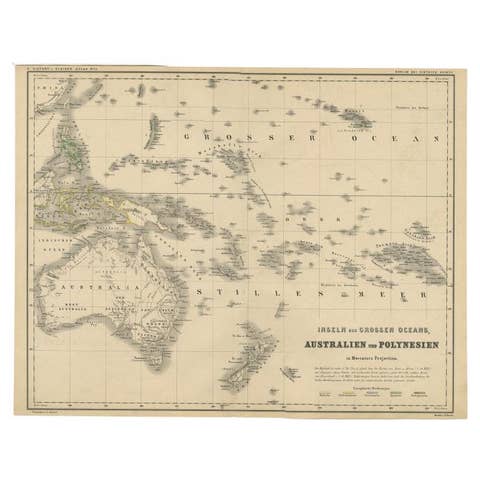
German Antique Map of Australia and Polynesia, c.1870
1870 · € 150
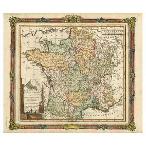
Antique Map of France with Decorative Border, 1766
1766 · € 430
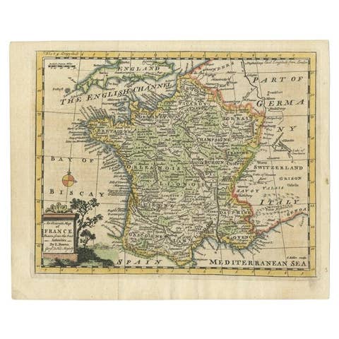
Antique Map of France with the English Channels, 1754
1754 · € 250
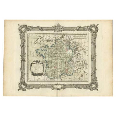
Antique Map of France at the end of the Reign of Louis the Great by Zannoni 1765
1765 · € 180
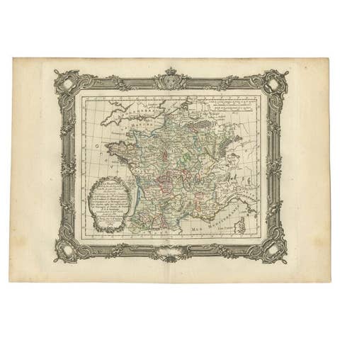
Antique Map of France at the End of the Reign of Jean II by Zannoni, 1765
1765 · € 159
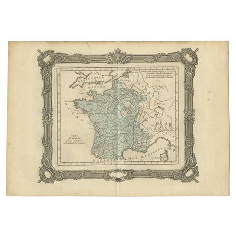
Antique Map of France at the End of the Ministry of Cardinal Richelieu, 1765
1765 · € 148
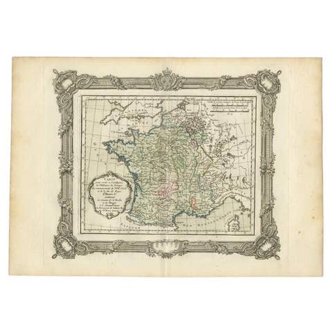
Antique Map of France at the Beginning of the 17th Century by Zannoni, 1765
1765 · € 159
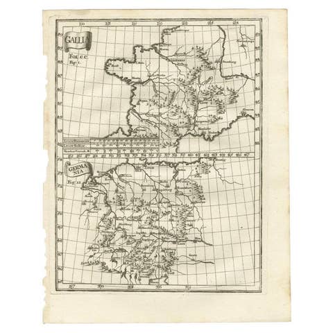
Antique Map of Gallia and Germania on one Sheet, c.1703
1703 · € 240
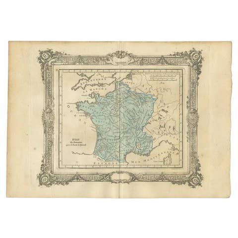
Antique Map of France After the Peace of Ryswick by Zannoni, 1765
1765 · € 148
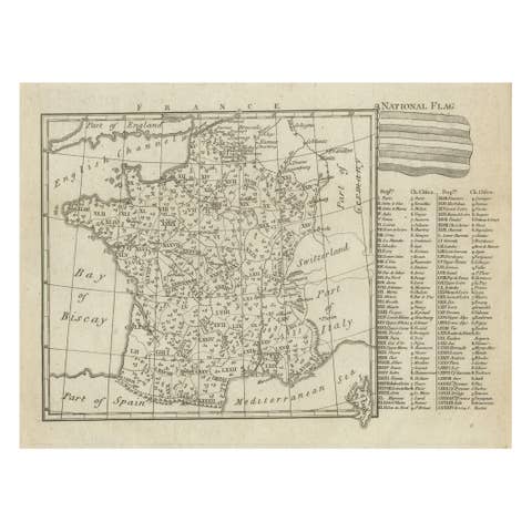
Small Detailed Antique Map of France, c.1780
1780 · € 110

Antique Map of Flintshire in Wales, United Kingdom, c.1850
1850 · € 140
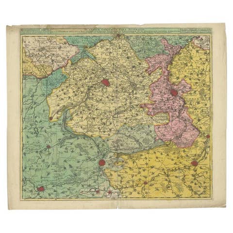
Antique Map of Flanders, France Incl the Cities Lille, Tournai, Douai, c.1730
1730 · € 475
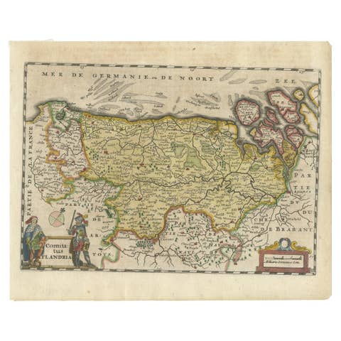
Antique Map of Flanders, Belgium, 1630
1630 · € 450
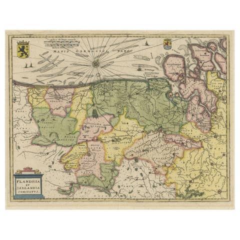
Antique Map of Flanders and Zeeland by Merian, 1659
1659 · € 300
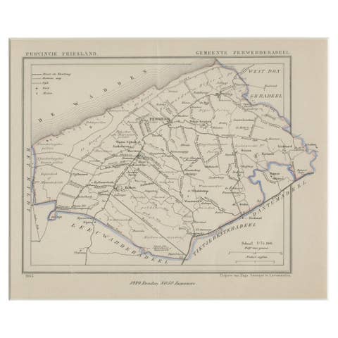
Antique Map of Ferwerderadeel, a County in Friesland, The Netherlands, 1868
1868 · € 180
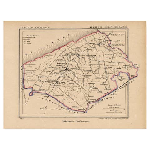
Antique Map of the County Ferwerderadeel, Friesland, The Netherlands, 1868
1868 · € 160
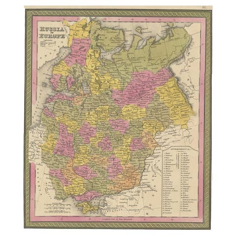
Antique Map of Old European Russia, 1846
1846 · € 280
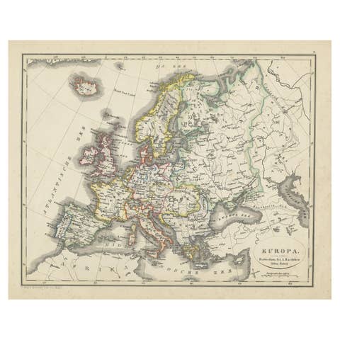
Antique Map of Europe from an Old Dutch School-Atlas, 1852
1852 · € 140
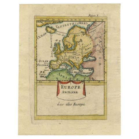
Antique Hand-Colored Miniature Map of Ancient Europe, c.1685
1685 · € 350

Two Antique Maps of Europe on One Sheet in Different Time Periods, 1842
1842 · € 650
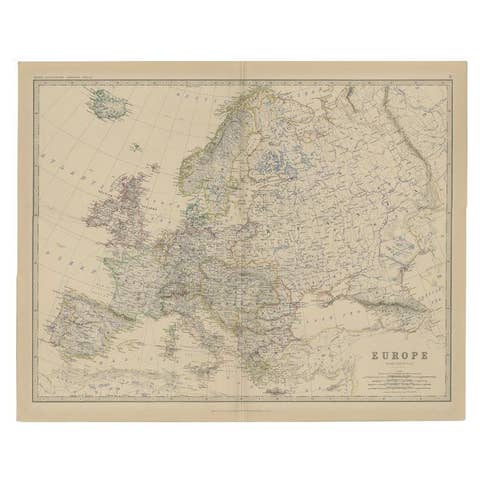
Antique Map of the European Continent, 1882
1882 · € 135
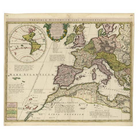
Finely Engraved Antique Map of Europe with inset of America, c.1745
1745 · € 1 450
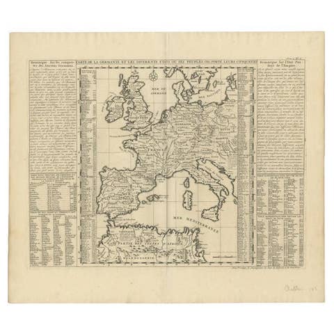
Antique Map of Europe Stretching from Northern Africa to the Baltic Sea, 1719
1719 · € 480
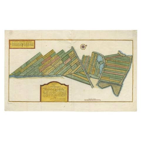
Antique Map of Estates of The Year 1669 in Amsterdam, Published c.1767
1669 · € 350