
Maps & PrintsBartele Gallery · Langweer
Home / Antique Maps / Europe / Western Europe / France

France · 18th century

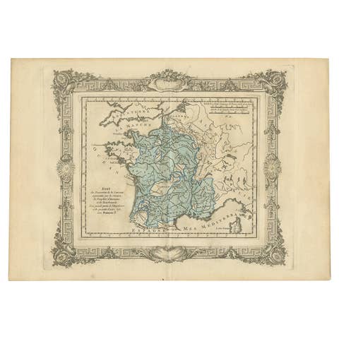
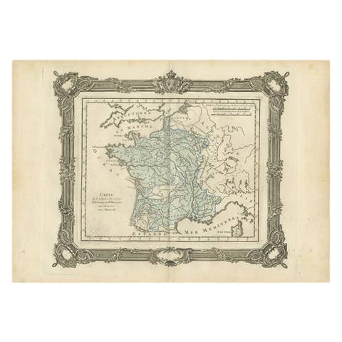
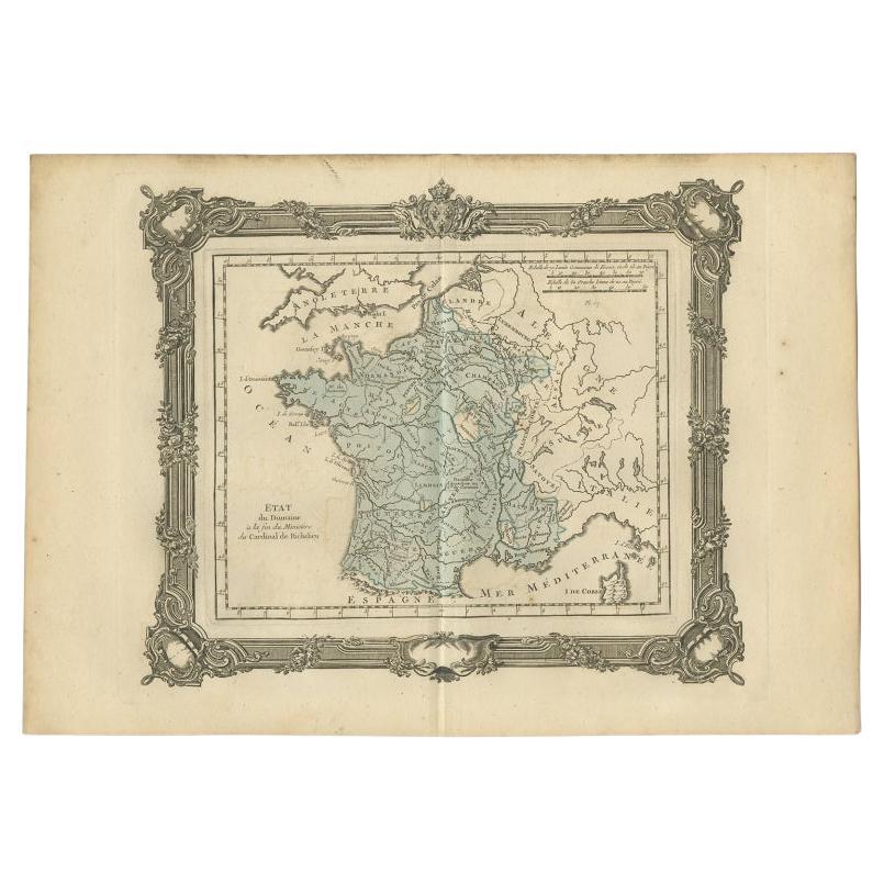
Antique Map of France at the End of the Ministry of Cardinal Richelieu, 1765

€ 148

Original antique · The actual sheet photographed · Certificate of authenticity on request · Sold unframed · Worldwide shipping from € 15 (rates)

Date
1765
Mapmaker / artist
G. A. Rizzi-zannoni (Artist)
Sheet size
28 × 40 cm (11.0 × 15.7 in)
Condition
Good
Reference
BG-11796-50

About this sheet

Antique map France titled 'Etat du Domaine à la fin du Ministère du Cardinal de Richelieu (..)'. Beautiful old map of France. This map originates from 'Atlas Historique de la France Ancienne et Moderne' by M. Rizzi Zannoni.

Artists and Engravers: Published by S. Desons, Paris. Giovanni Rizzi Zannoni (1736-1814 ) was an Italian cartographer and geographer.

Condition: Very good, please study image carefully.
Date: 1765
Overall size: 40 x 28 cm.
Image size:30 x 24 cm.

More from France

Ask about this sheet

Antique Map of France at the End of the Ministry of Cardinal Richelieu, 1765
1765 · Ref. BG-11796-50 · € 148
We reply by email, usually within one working day.