Home / New arrivals
New arrivals
The latest sheets added to the collection
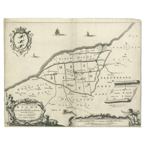
Antique Map of the Bildt Region by Schotanus, 1664
1664 · € 160
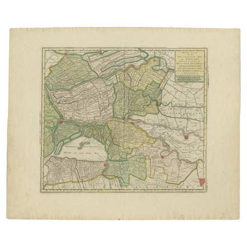
Antique Map of the 'Biesbosch' Region by Tirion, 1749
1749 · € 325
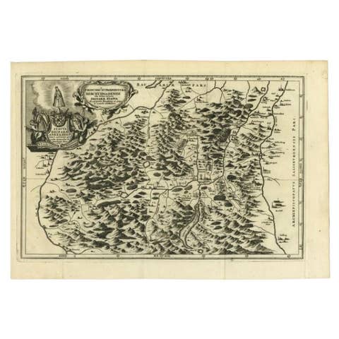
Antique Map of the Berchtesgaden Region by Scherer, 1699
1699 · € 225
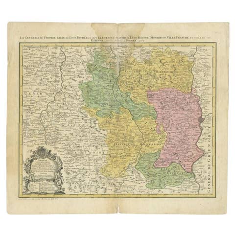
Antique Map of the Beaujolais Region by Homann Heirs, 1762
1762 · € 315
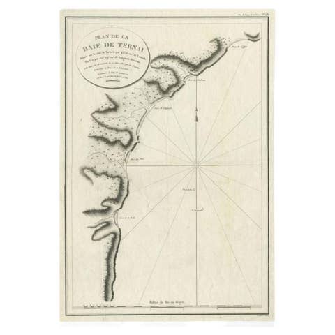
Antique Map of the Bay of Terney by La Pérouse, 1797
1797 · € 153
Antique Map of the Bay of Cordes and Surroundings by Hawkesworth, 1774
1774 · € 112

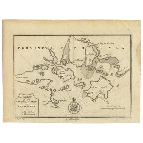
Antique Map of the Bay of Chin Chew by Child, 1747
1747 · € 173
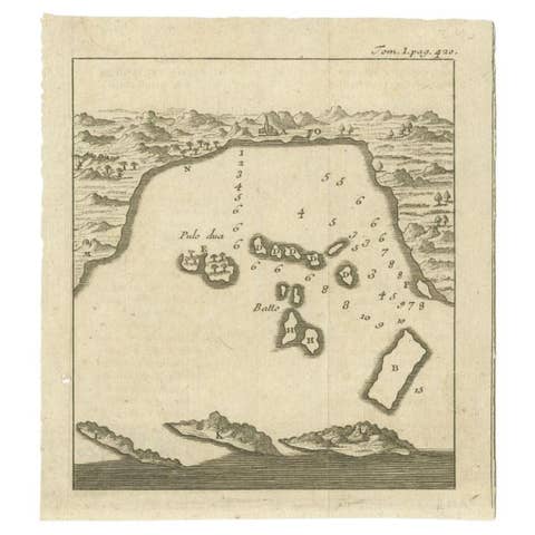
Antique Map of the Bay of Bantam, c.1720
1720 · € 60

Antique Map of the Bay Near Huchou Island by Van Schley, 1758
1758 · € 173
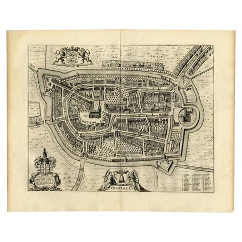
Antique Map of the City of Franeker by Blaeu, 1652
1652 · € 323
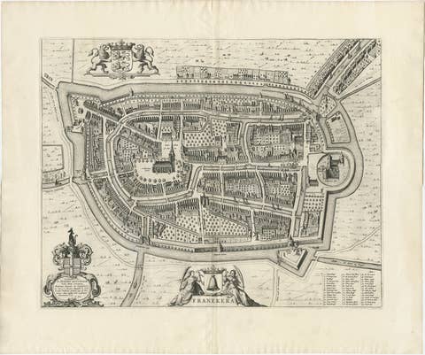
Antique Map of the City of Franeker by Blaeu, 1652
1652 · € 650

Antique Map of the Bay and Island of Arguin by Van Schley, 1747
1747 · € 98
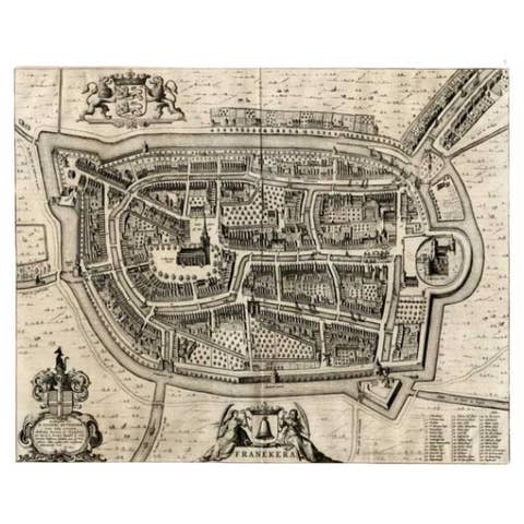
Antique Map of the City of Franeker by Blaeu, 1649
1649 · € 378
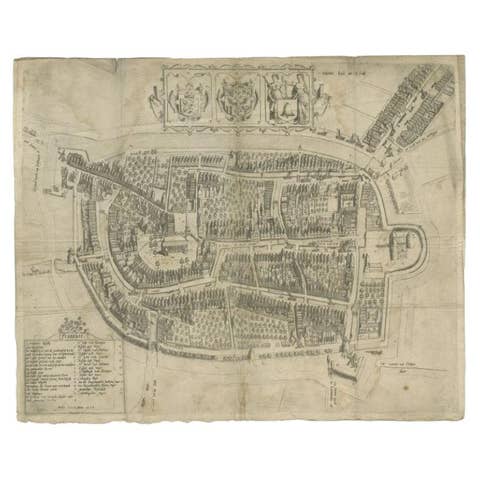
Antique Map of the City of Franeker by Bast, 1598
1598 · € 1 120
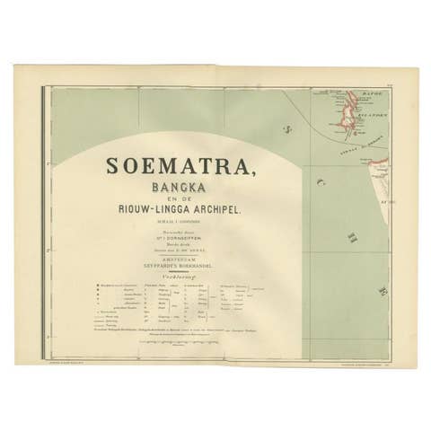
Antique Map of the Batu Islands by Dornseiffen, 1900
1900 · € 85
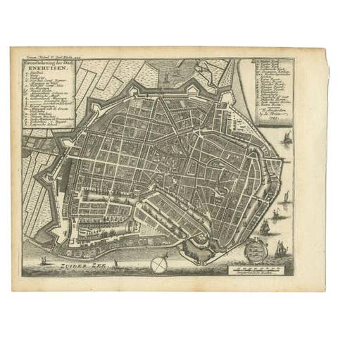
Antique Map of the City of Enkhuizen by Tirion, 1743
1743 · € 150
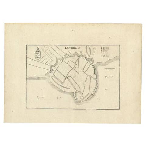
Antique Map of the City of Enkhuizen by Merian, 1659
1659 · € 123
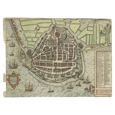
Antique Map of the City of Enkhuizen by Guicciardini, 1625
1625 · € 305
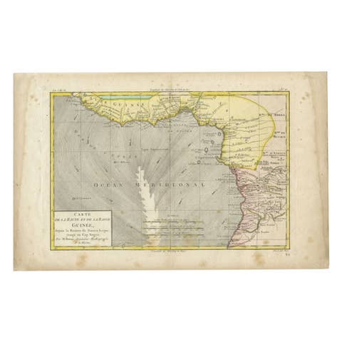
Antique Map of the Coast of Guinea, Africa, 1820
1820 · € 122
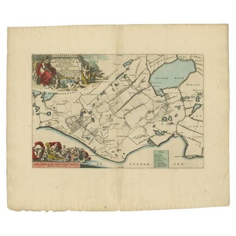
Antique Map of the Gaasterland Township 'Friesland' by Halma, 1718
1718 · € 383
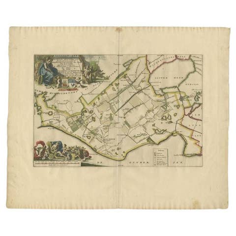
Antique Map of the Gaasterland Township 'Friesland' by Halma, 1718
1718 · € 399
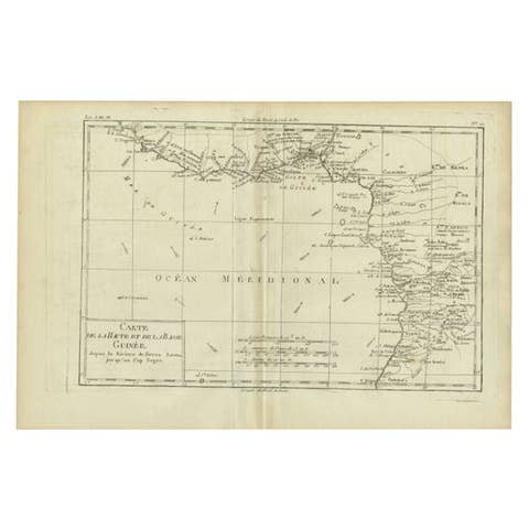
Antique Map of the Coast of Guinea, Africa, c.1780
1780 · € 159
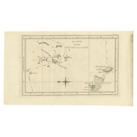
Antique Map of the Friendly Islands by Cook, 1803
1803 · € 215
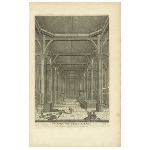
Antique Print of the Interior of the 'Nieuwezijds Kapel' by Goeree, 1765
1765 · € 63
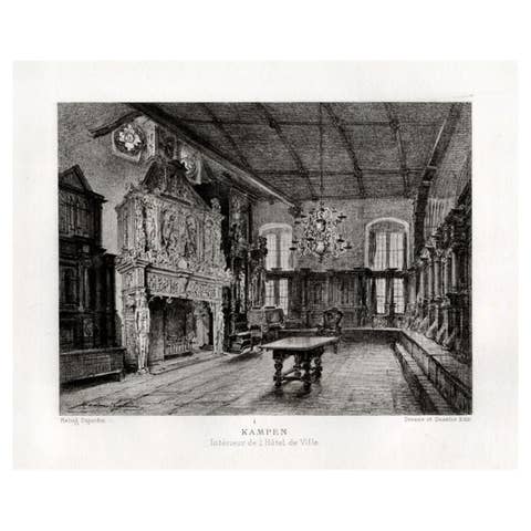
Antique Print of the Interior of the City Hall of Kampen by Lalanne, 1882
1882 · € 60
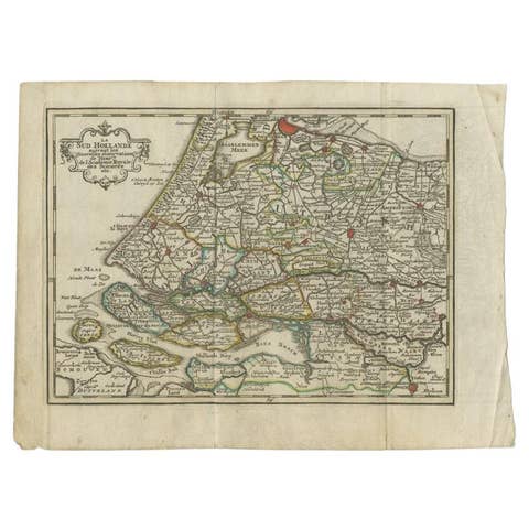
Antique Map of the Province of Zuid-Holland by Keizer & De Lat, 1788
1788 · € 220
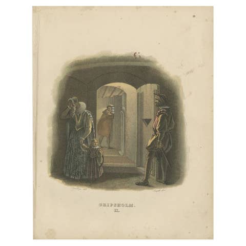
Antique Print of the Interior of Gripsholm Castle by Sandberg, c.1864
1864 · € 65
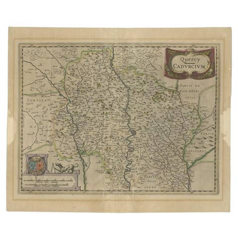
Antique Map of the French Province of Quercy, ca.1625
1625 · € 340

Antique Print of the Interior of a Chinese Temple, 1748
1748 · € 160
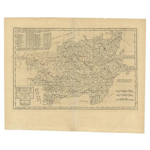
Antique Map of the Province of Quang-Si by Du Halde, 1738
1738 · € 259
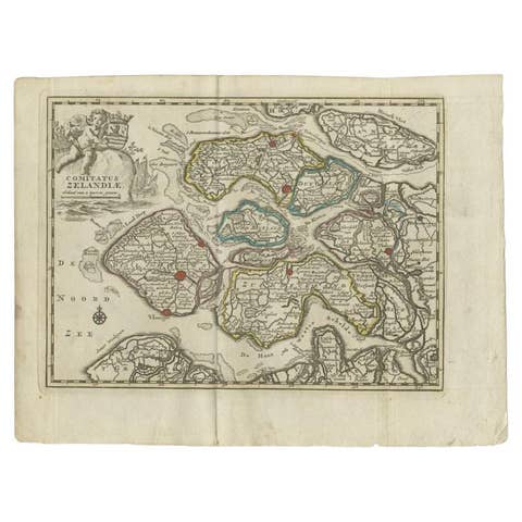
Antique Map of the Province of Zeeland by Keizer & De Lat, 1788
1788 · € 220
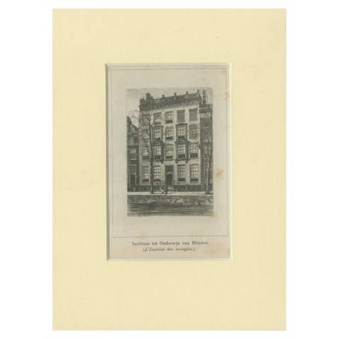
Antique Print of the Institute for the Blind in Amsterdam, c.1900
1900 · € 48
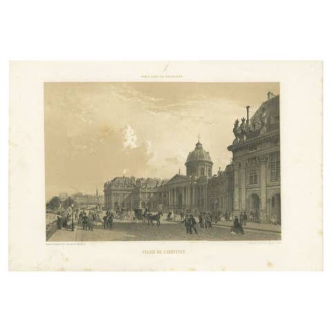
Antique Print of the Institut de France by Charpentier, 1863
1863 · € 253
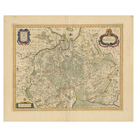
Antique Map of the Province of Overijssel by Janssonius, c.1650
1650 · € 520
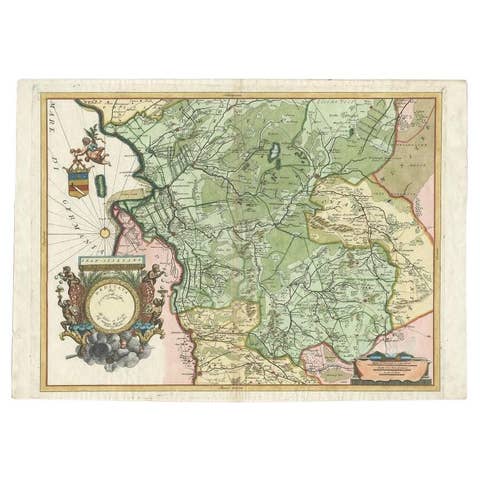
Antique Map of the Province of Overijssel by Coronelli, c.1692
1692 · € 539

Antique Print of the Inn of the Maliebaan by Stoopendaal, 1725
1725 · € 79
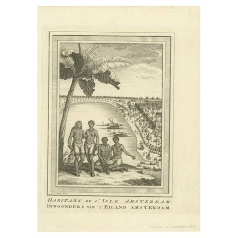
Antique Print of the Inhabitants of Amsterdam Island by Van Schley, 1759
1759 · € 80
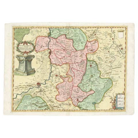
Antique Map of the Province of Limburg by Coronelli, 1692
1692 · € 516
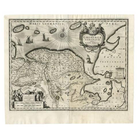
Antique Map of the Province of Groningen by Blaeu, 1635
1635 · € 588
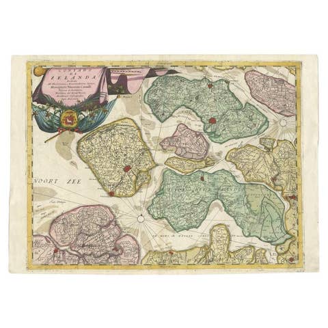
Antique Map of the Province of Zeeland, The Netherlands by Coronelli, 1692
1692 · € 670
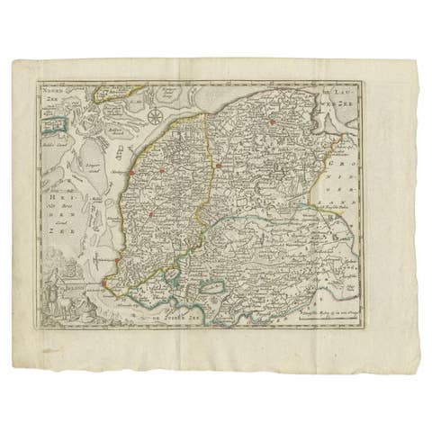
Antique Map of the Province of Friesland by Keizer & De Lat, 1788
1788 · € 220
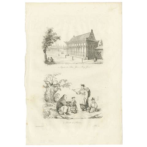
Antique Print of the Imperial Palace at Yuen-Ming-Yuen and Chinese family, 1834
1834 · € 90
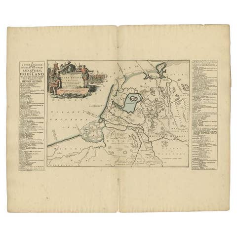
Antique Map of the Old Land of Batavia and FriesLand by Halma, 1718
1718 · € 185
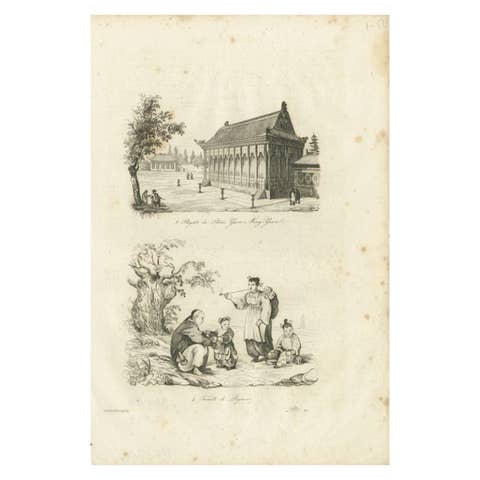
Antique Print of the Imperial Palace at Yuen-ming-yuen and Chinese Family, 1834
1834 · € 70
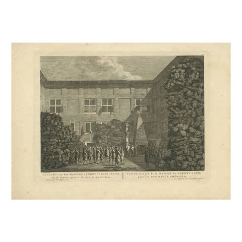
Antique Print of the House of Correction in Amsterdam by Fouquet, c.1780
1780 · € 110
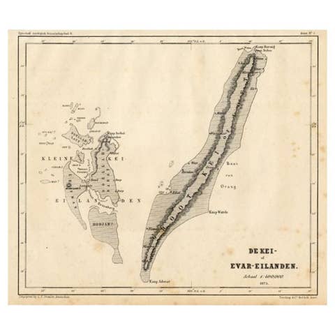
Antique Map of the Kai Islands by Stemler, c.1875
1875 · € 63
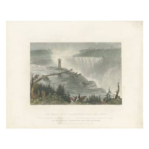
Antique Print of the Horseshoe Falls by Brandard, c.1840
1840 · € 350

Antique Map of the Islands of Schiatti and Scopoli, Greece, 1687
1687 · € 175