About this sheet
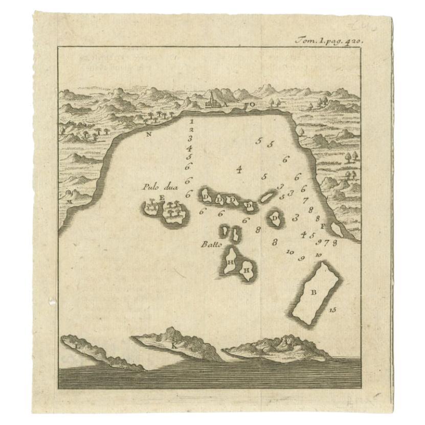
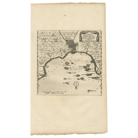
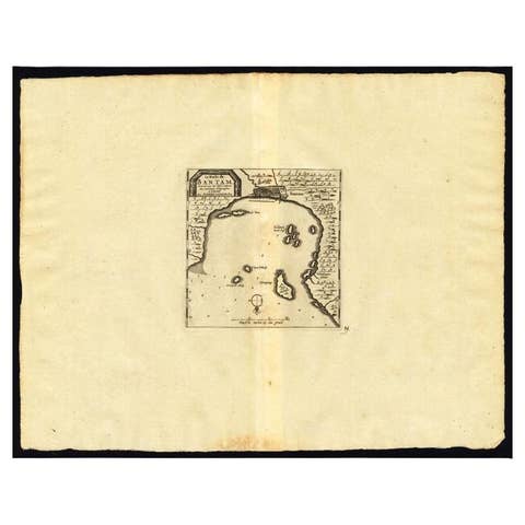
Rare, untitled miniature map of the Bay of Bantam with various Islands including Pulo Dua and Pulo Batto. This map originates from a small travelogue and may originate from an edition of Prevost's 'Histoire Generale des Voyages'. A larger version of this map originates from Renneville's 'Recueil des Voyages'. Artists and Engravers: Anonymous.
Condition: Very good, small hole outside image border. Please study image carefully.
Date: c.1720
Overall size: 14.3 x 16 cm.
Image size: 0.001 x 12.5 x 13.7 cm.
They were the product of engraved, etched or lithographed plates. These plates were handmade out of wood or metal, which required an incredible level of skill, patience and craftsmanship. Whether you have a house with Victorian furniture or more contemporary decor an old engraving can enhance your living space. We offer a wide range of authentic antique prints for any budget.