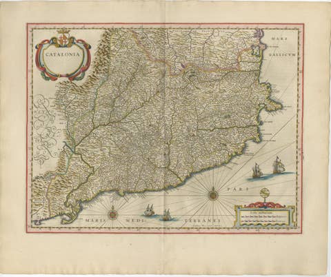
Exquisite 1580 Ortelius Map of the Narbonne Coastal Region, France
€ 600
Original antique · The actual sheet photographed · Certificate of authenticity on request · Sold unframed · Worldwide shipping from € 15 (rates)
Date
1580
Sheet size
39.5 × 28.5 cm (15.6 × 11.2 in)
Condition
Good
Reference
BG-13644-4
What the condition grades mean
Excellent
Bright and clean, with no faults worth mentioning.
Very good
Only light signs of age, such as faint toning.
Good
Normal signs of age for a sheet of this period: toning, some foxing, small marks or neat old repairs.
Fair
Clear faults such as staining, tears or repairs, priced to match.
Every fault we see is written in the condition note, and the whole sheet is shown uncropped in the photos.
Condition
Given age. General age-related toning and occasional minor defects from handling. Short on the right margin. Please study scan carefully.
About this sheet
"Exquisite 1580 Ortelius Map of the Narbonne Coastal Region, France"
Description of the Map:
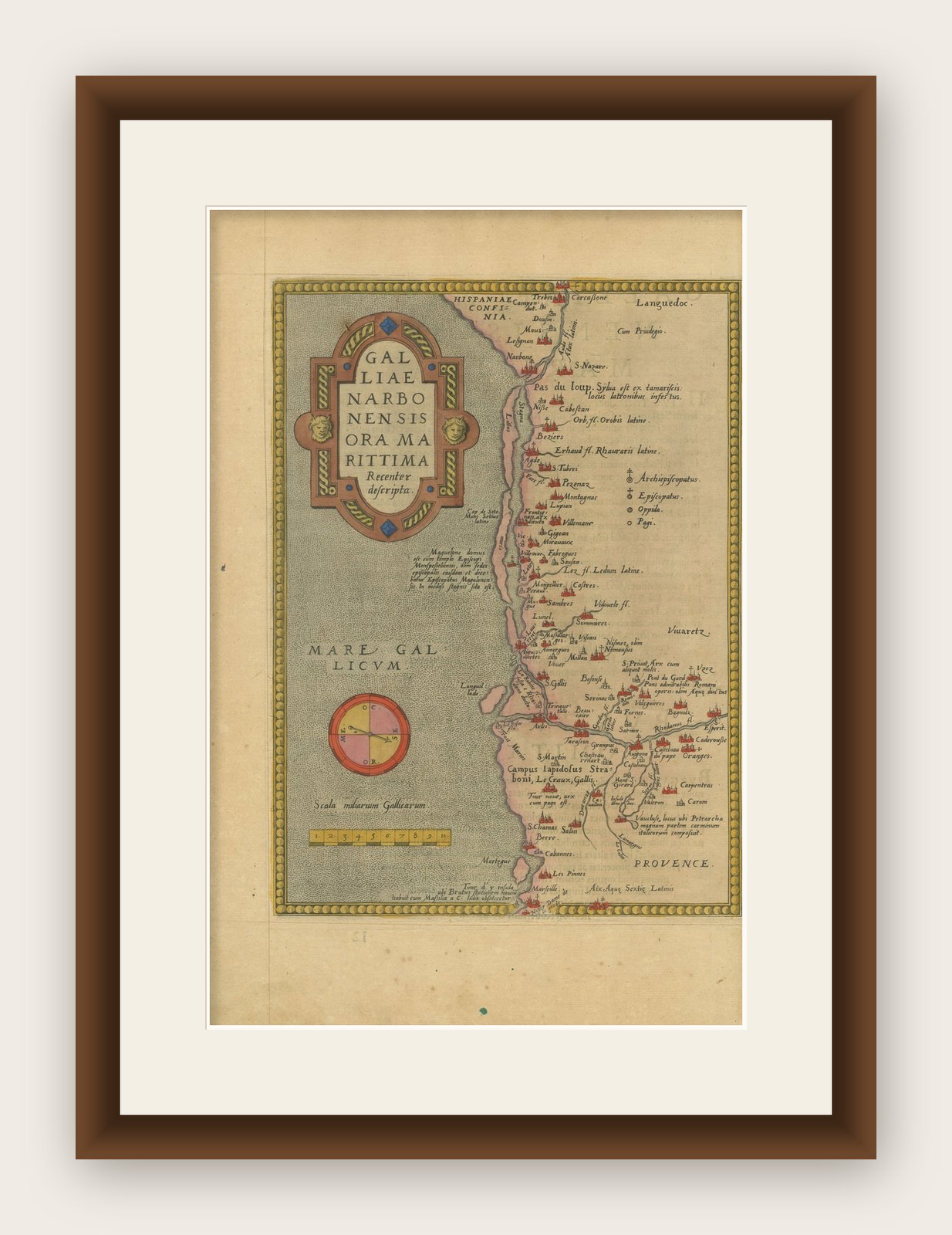
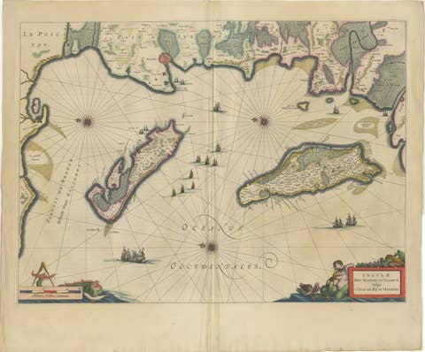
This map is an intricate copper etching from Abraham Ortelius's esteemed "Theatrum Orbis Terrarum," produced around 1580.
It features the Mediterranean coastline of the ancient Gallia Narbonensis, extending from Marseille through Narbonne up to the French-Spanish border.
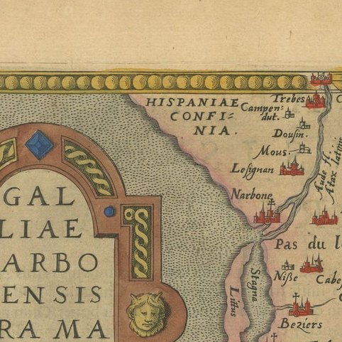
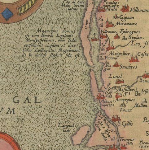
The map is designed with a westward orientation, highlighting detailed depictions of geographical and urban elements along this historical region. The artwork includes a visually appealing title cartouche, a navigational compass, and a mileage key, all set against the Mediterranean backdrop. Decorative borders enhance the map's aesthetic appeal, making it a striking piece of historical art.
Condition of the Map: The map exhibits some age toning and light spotting along the margins, which are minor signs of its age and historical use. The right margin is described as narrow, suggesting some wear or possible trimming in past handling. Despite these signs of age, the map remains in good condition, retaining its clarity and vibrant features.
This map would be highly sought after by collectors due to its origin from Ortelius's groundbreaking atlas and its detailed representation of an important historical region of France. The decorative elements and the map's overall charm contribute to its desirability among those interested in maritime and regional cartography from the Renaissance period.