About this sheet
Blaeu Virginia and Florida Map – Decorative Early America Chart 1642
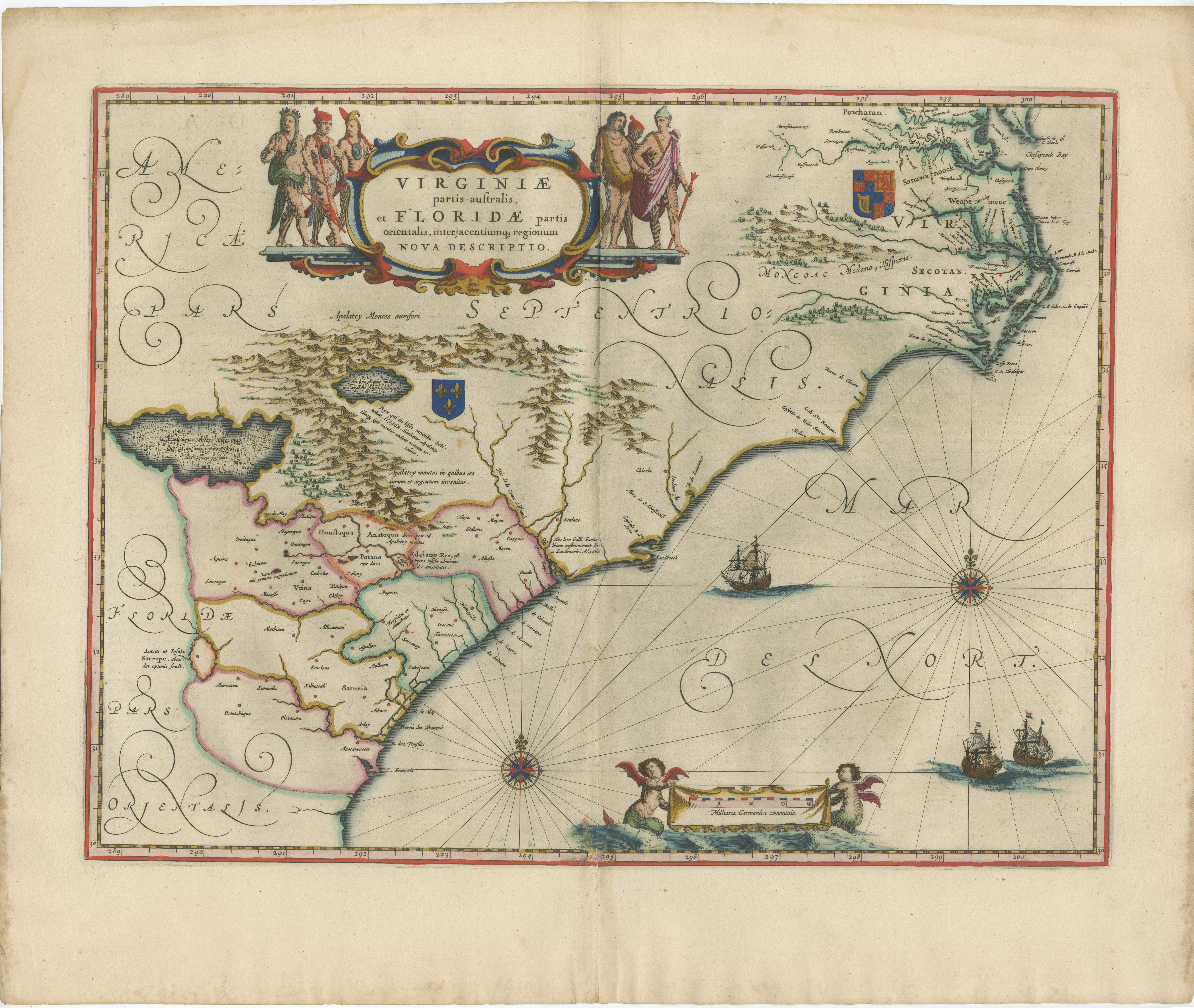
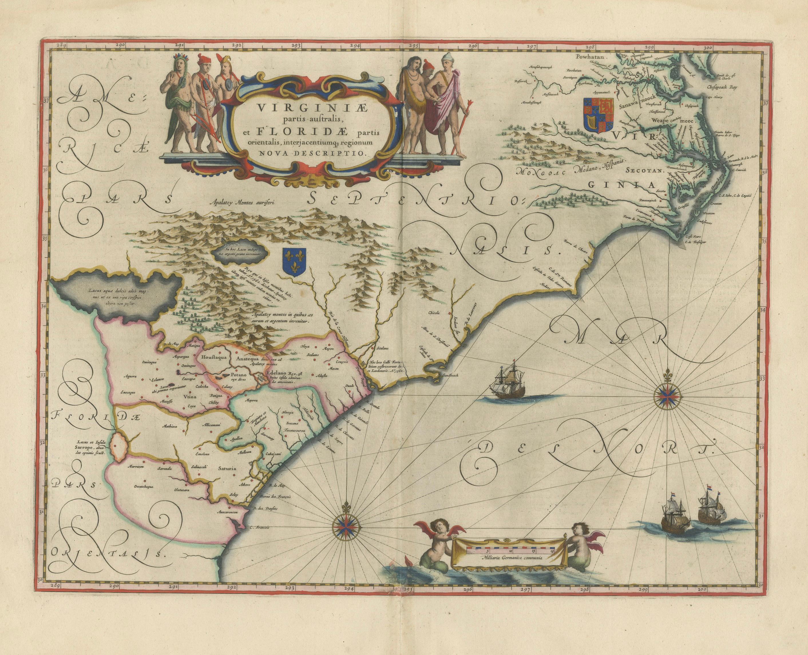
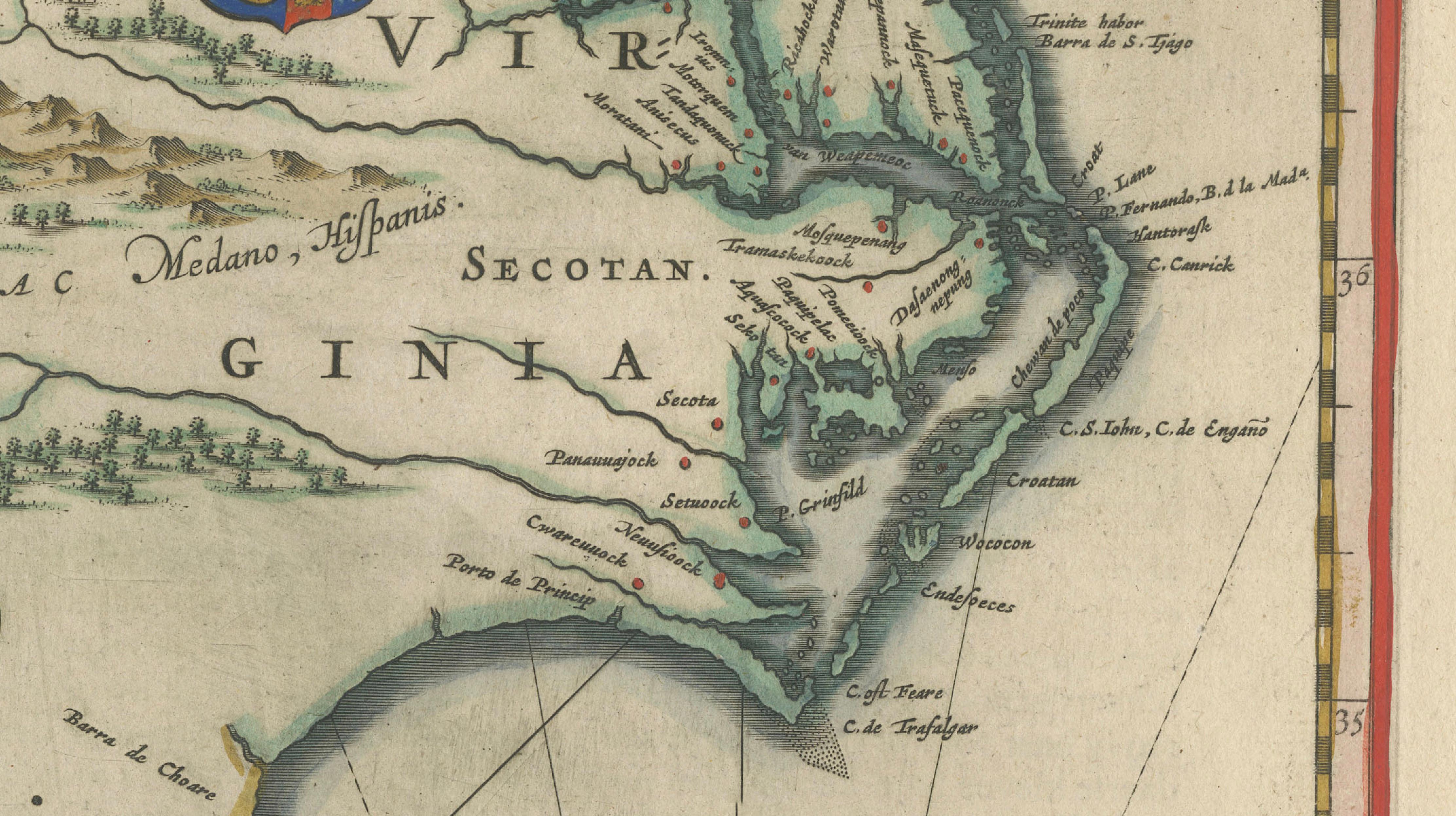
A highly important and visually striking map of the southeastern coast of North America, titled Virginiae partis australis, et Floridae partis orientalis, interjacentiumque regionum nova descriptio, published by Willem and Joan Blaeu in Amsterdam around 1642. This finely engraved map originates from Blaeu’s celebrated atlas Toonneel des Aerdrycx, produced at the height of the Dutch Golden Age of cartography.
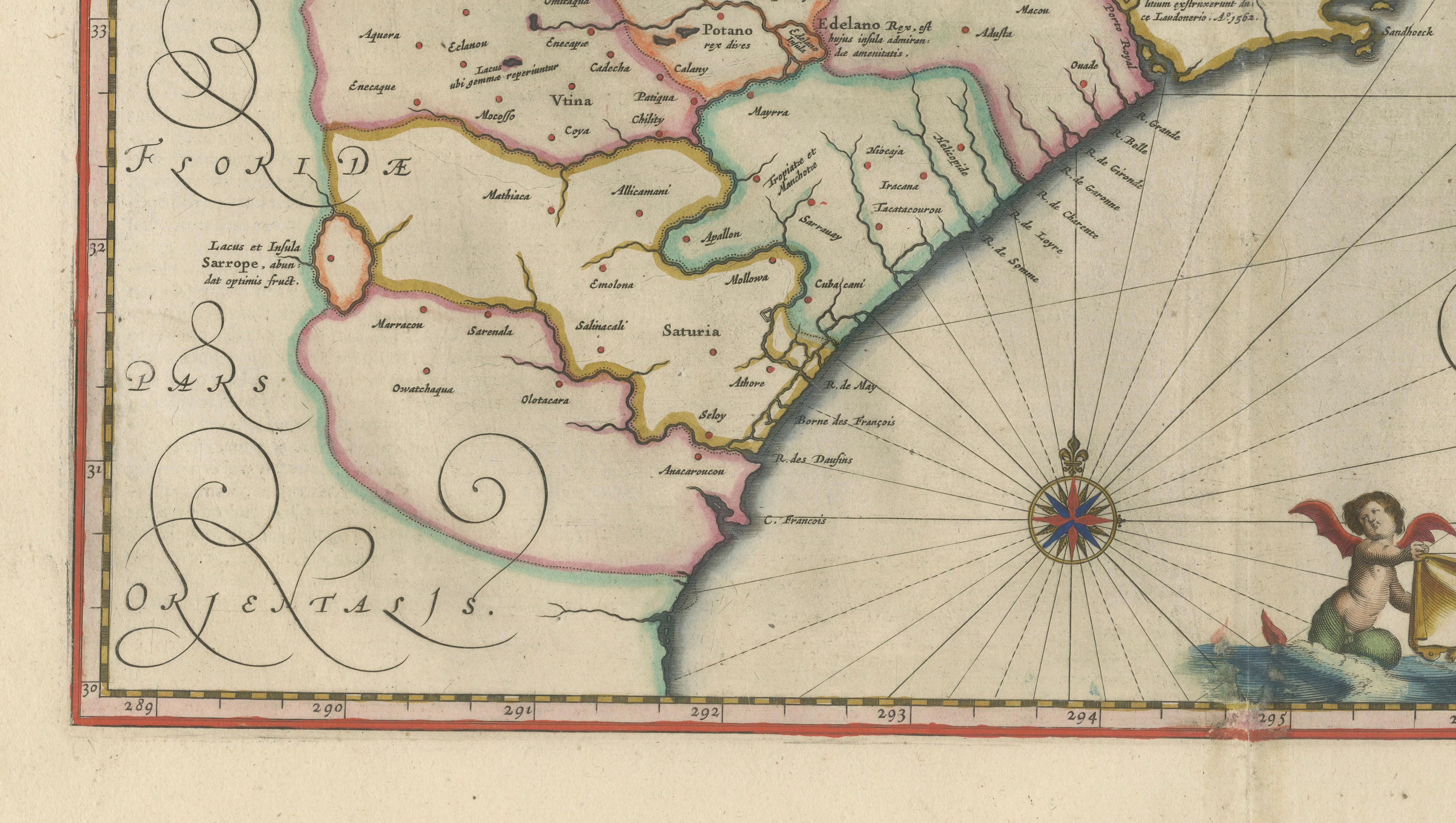
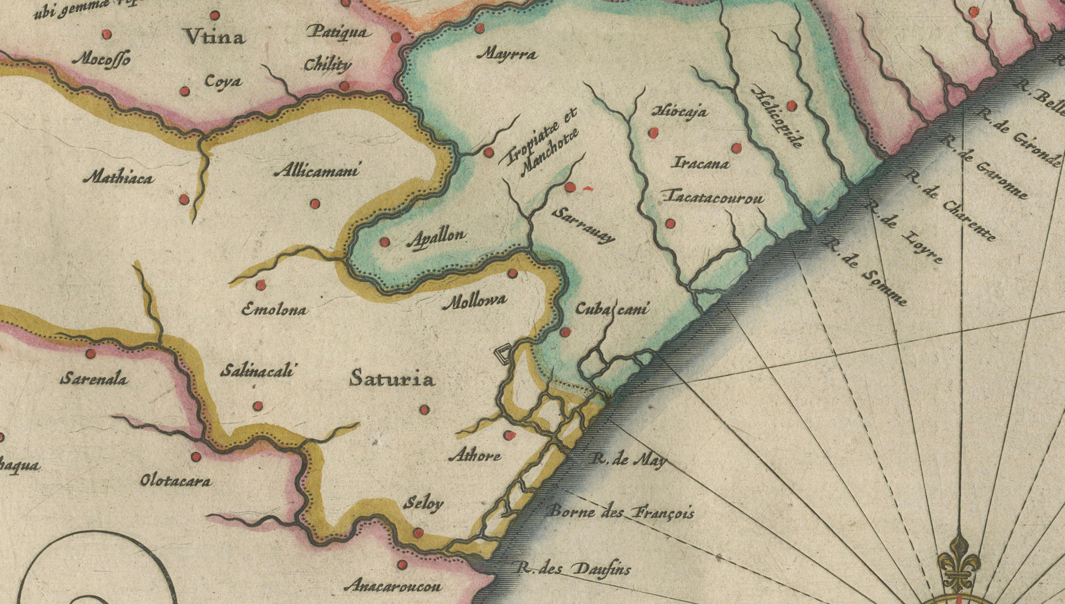
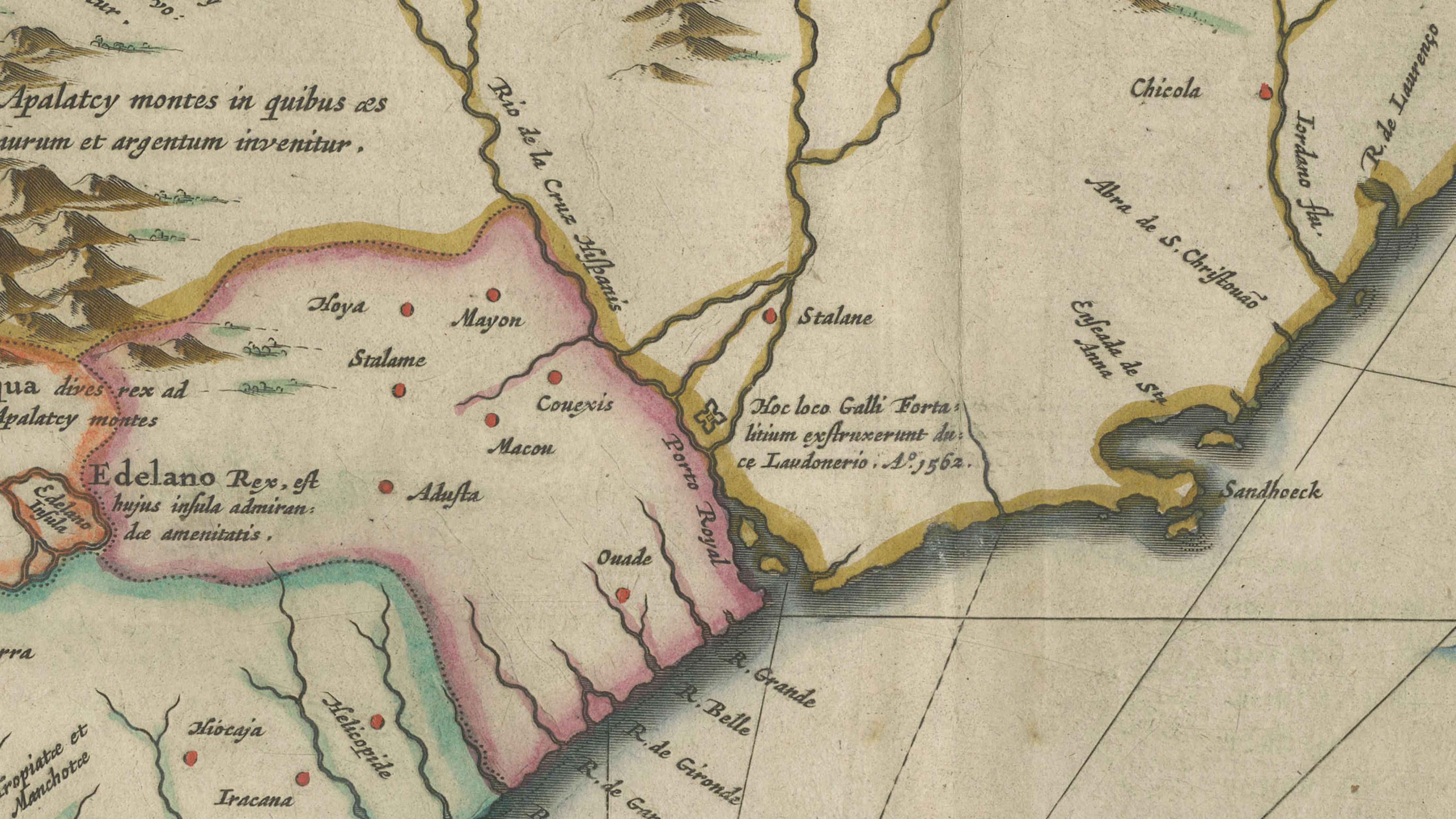
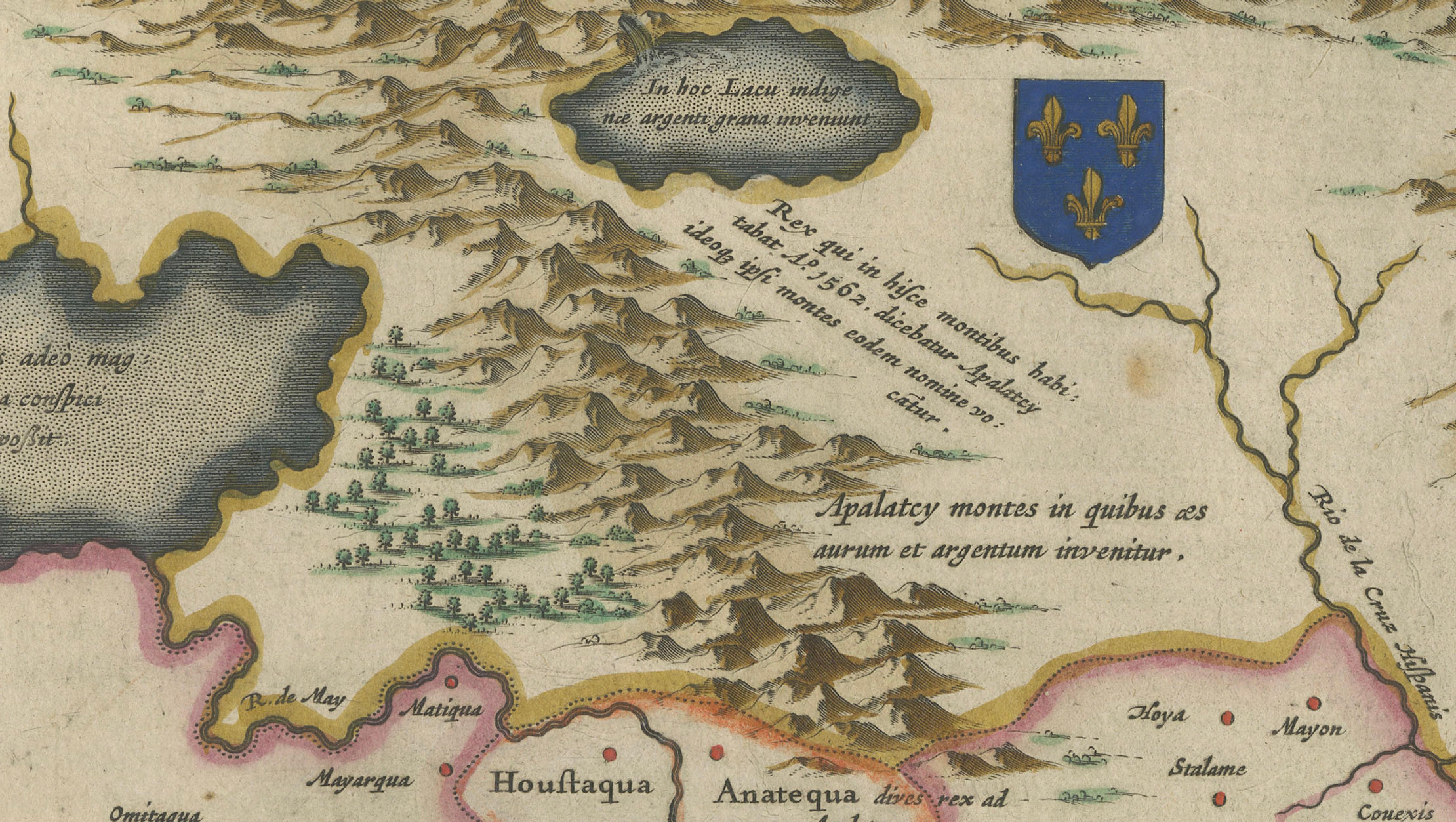
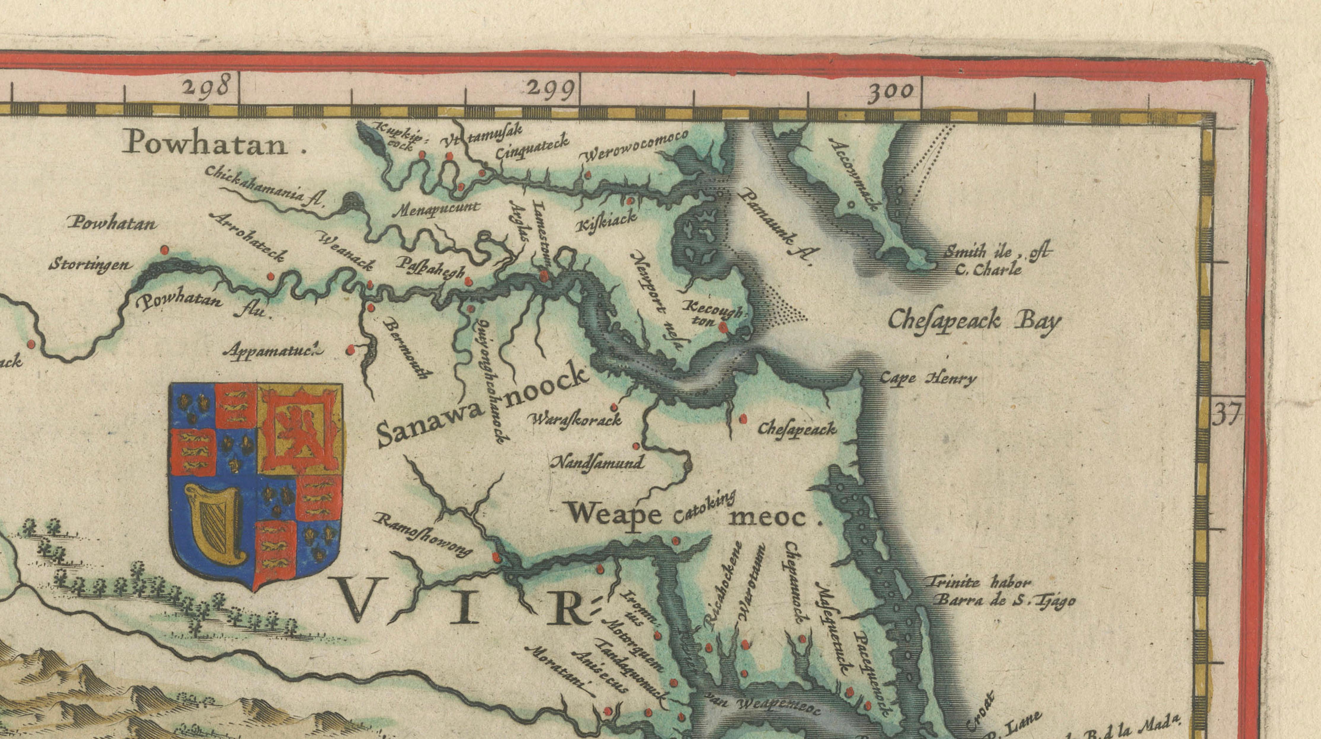
The map depicts the coastal regions of present-day Virginia, the Carolinas, Georgia, and Florida, extending inland to show early interpretations of the North American interior. The coastline is crisply delineated, reflecting European navigation and colonial interest in the region, while inland areas are rendered with pictorial mountain ranges, rivers, and settlements. The composition reflects a moment in time when knowledge of North America was still evolving, making it both historically fascinating and visually compelling.
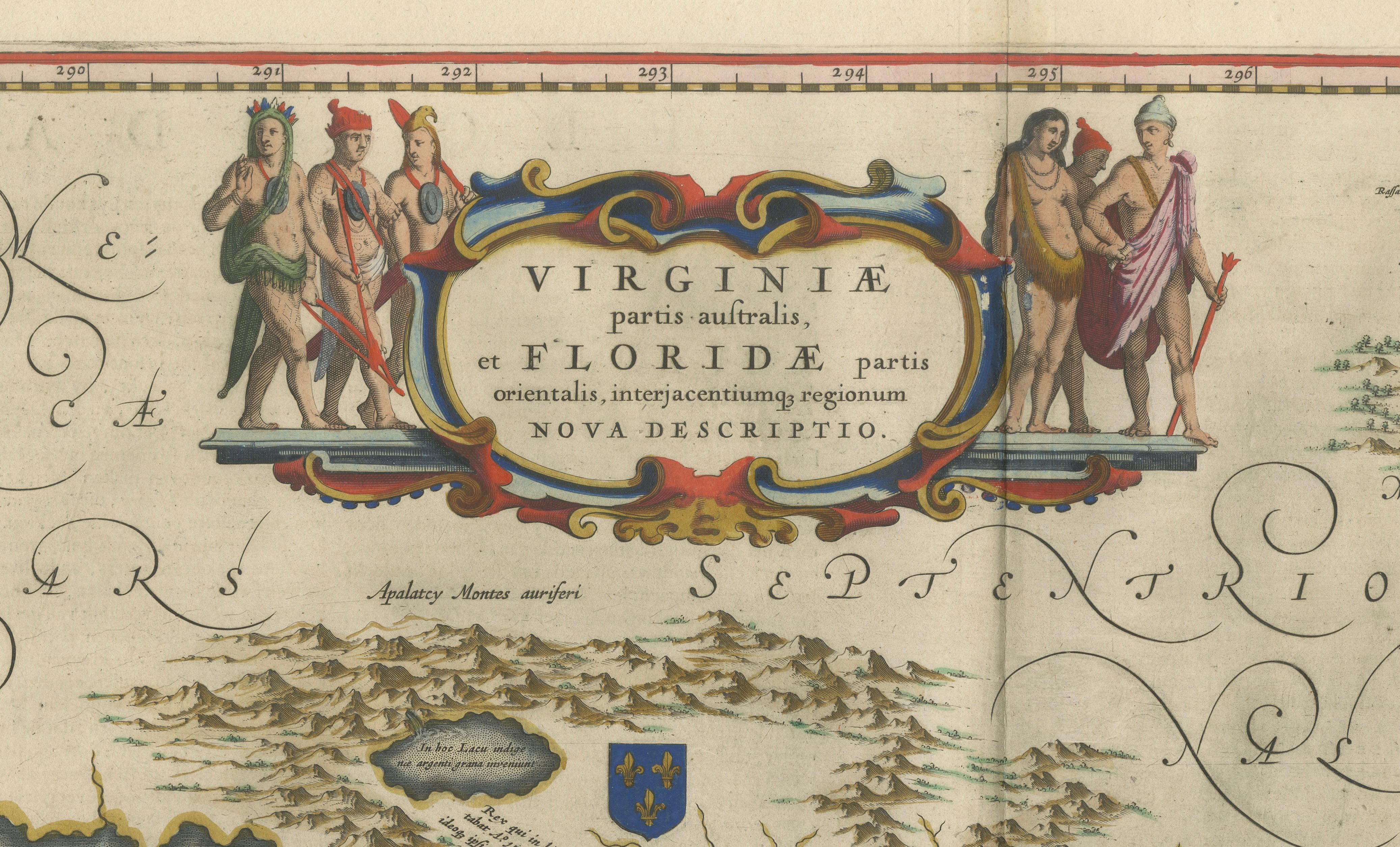
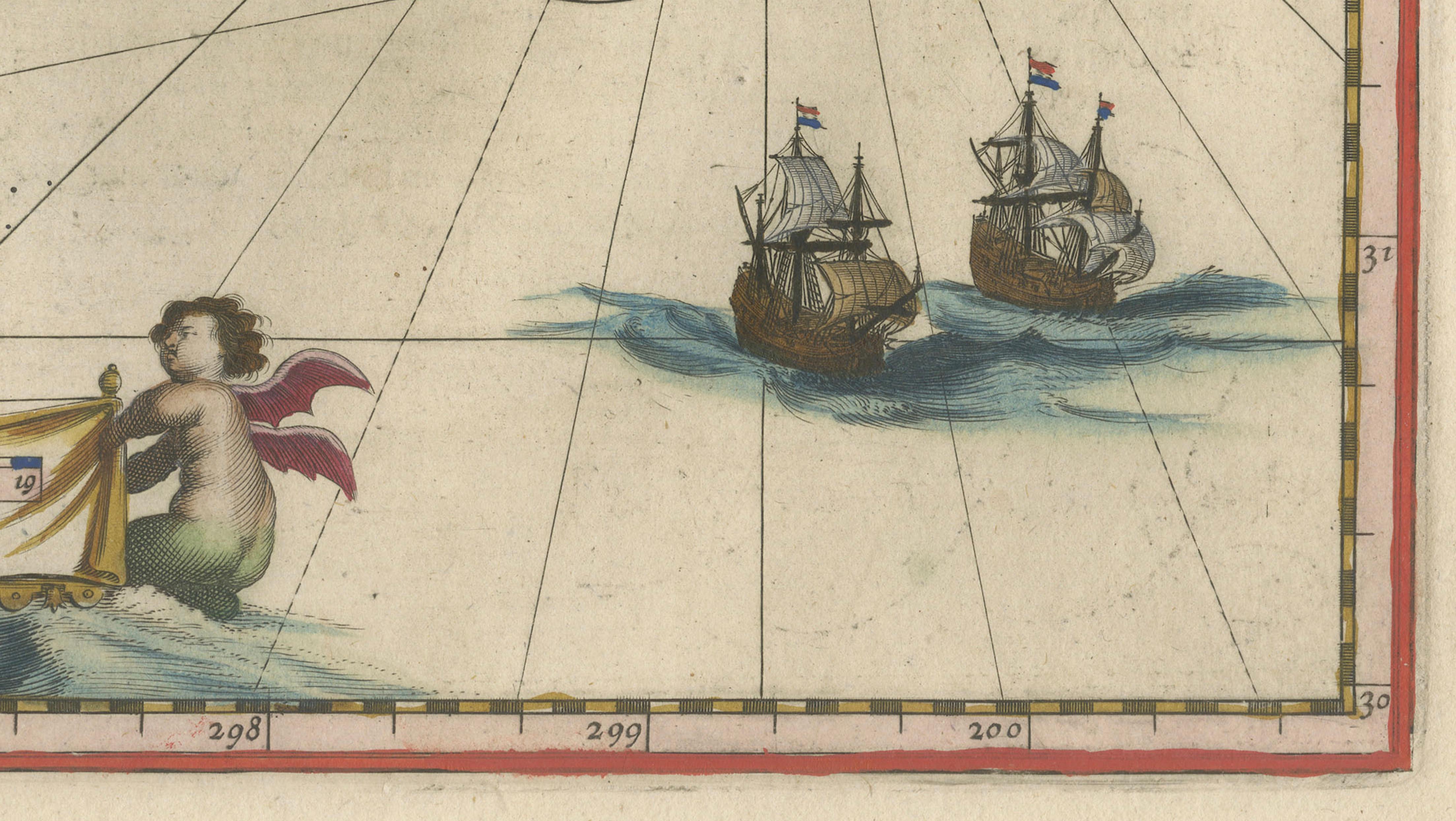
A defining feature of the map is its elegant Baroque cartouche at the top center, flanked by finely engraved indigenous figures, adding both decorative richness and ethnographic interest. The seas are animated with sailing ships and multiple compass roses, intersected by rhumb lines that create a dynamic maritime aesthetic. The balance between geographic detail and decorative elements makes this one of Blaeu’s most attractive maps of early America.
Original hand-coloring enhances the map beautifully, with soft yet vivid tones highlighting borders, coastlines, and regions. The delicate coloring, combined with the crisp engraving, gives the piece a refined and highly decorative appearance, suitable for both collectors and interior designers.
Maps of early America by Blaeu are particularly sought after due to their historical significance and strong visual appeal. This example stands out as a classic representation of the southeastern United States during the 17th century and is highly desirable as both a collector’s item and a statement decorative piece.
A superb addition to any collection of early American cartography, and especially effective as a centerpiece in a study, library, or high-end interior.
Condition: Good condition for its age. Original central fold as issued. Light overall toning consistent with age. Minor wear and some faint staining, mainly in the margins. Edges slightly irregular. Colors remain strong and attractive. Please study image carefully.
Framing: This piece presents beautifully in a dark walnut or ebonized wood frame with a wide warm ivory mat. A museum-style presentation enhances the decorative cartouche and coastal detail. Particularly effective in a darker study or classic interior setting.
Keywords: Virginia, Florida, Carolinas, Georgia, early America, North America, Willem Blaeu, Joan Blaeu, Dutch cartography, antique map America, 17th century map, Toonneel des Aerdrycx, colonial America, southeast United States, maritime navigation, compass rose, cartouche, decorative map
Special note: This is an original 17th-century map, not a reproduction. All items we offer are authentic period works of art over 100 years old. The map is sold unframed; any framed images are shown for presentation and interior inspiration only and may not always be on scale with the original.
Technique: Copperplate engraving with original hand-coloring
Maker: Willem & Joan Blaeu, Amsterdam, c.1642