About this sheet
Blaeu Map of Île de Ré & Oléron, La Rochelle Coast France, c.1642
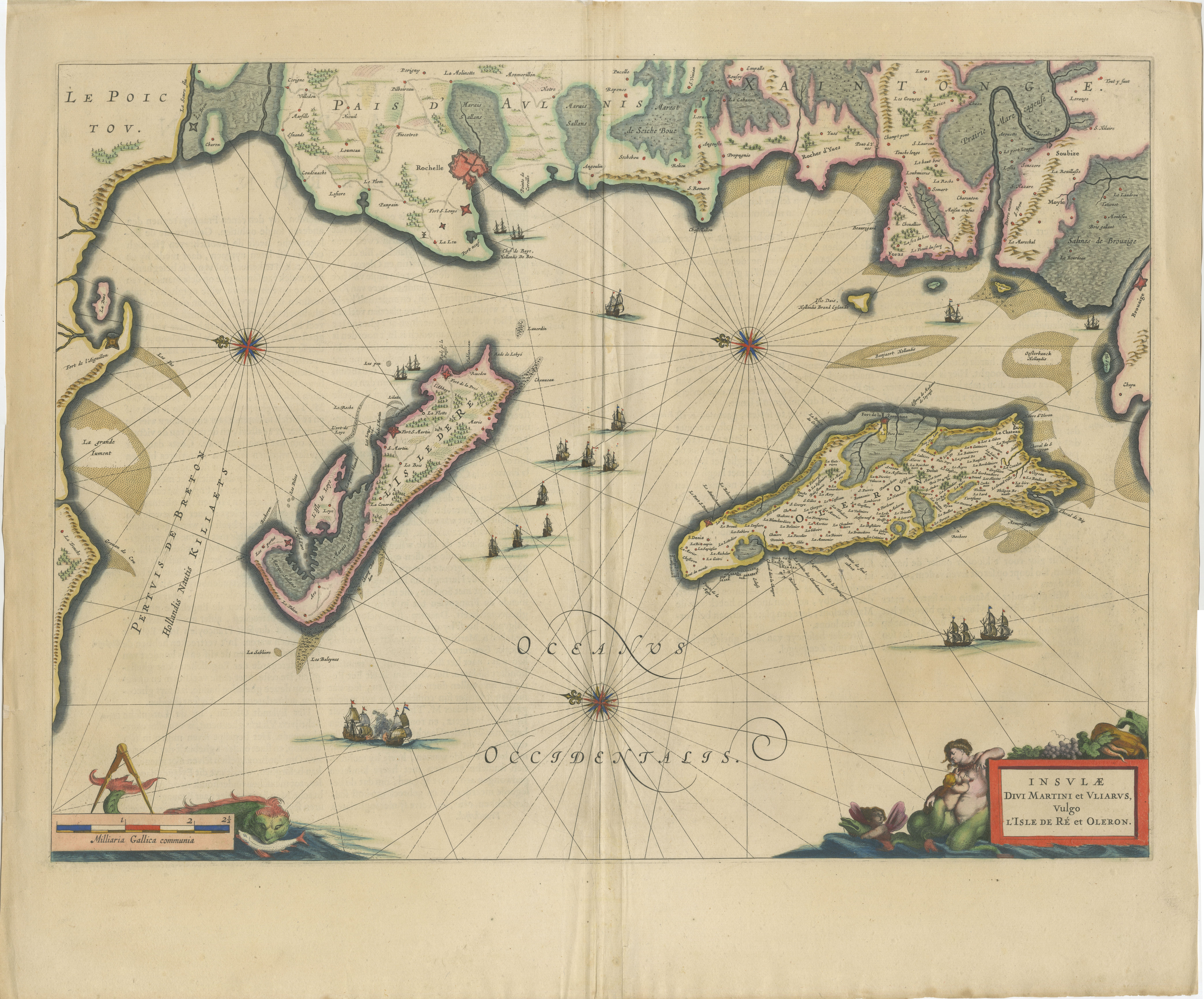
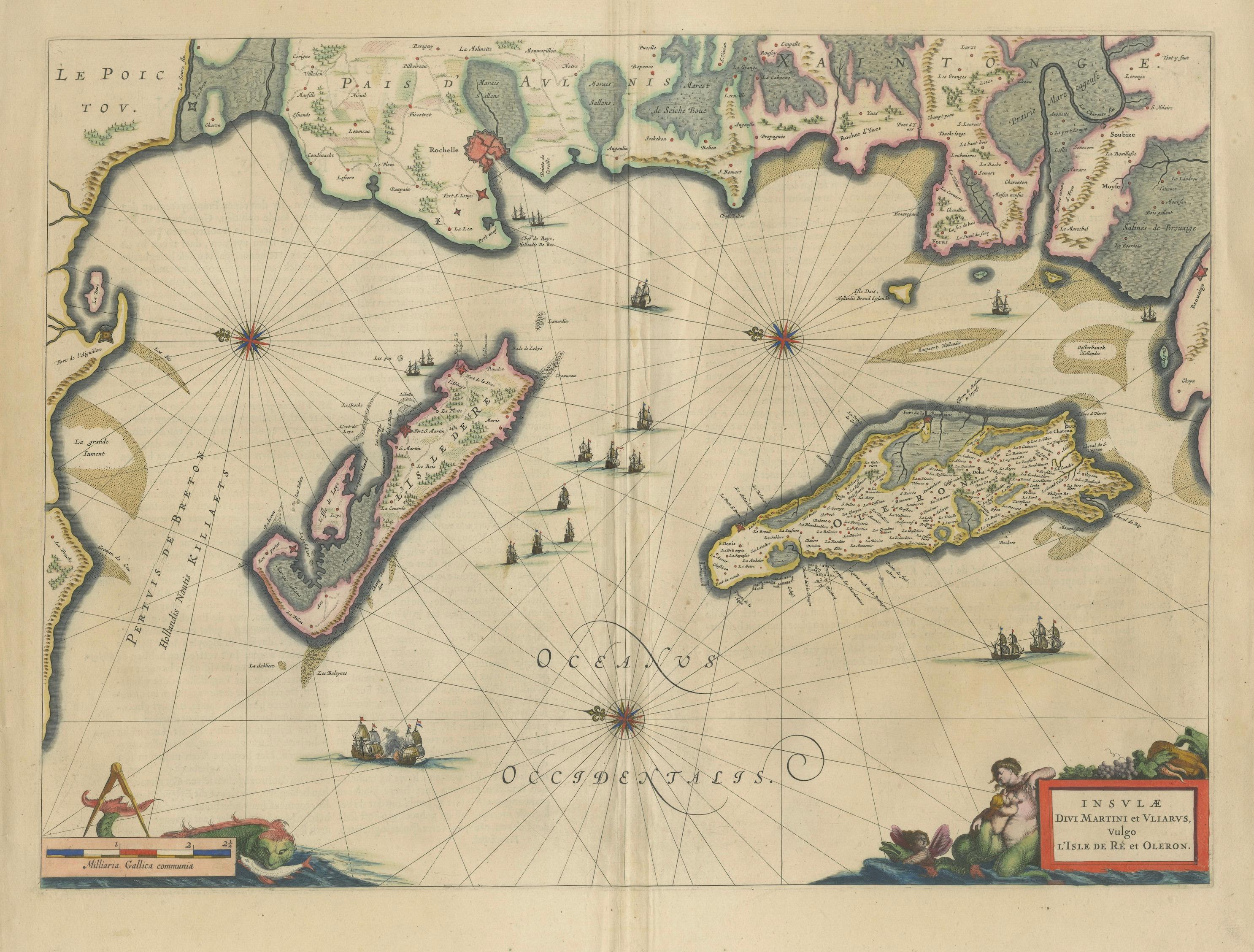
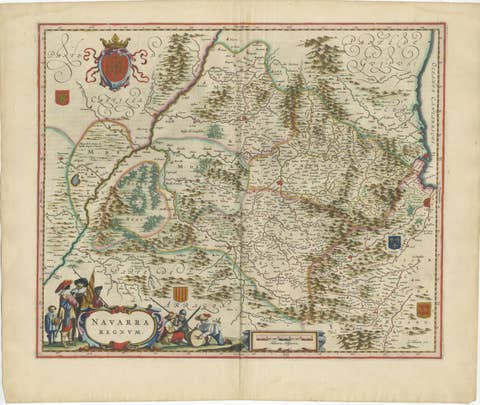
A finely engraved and beautifully composed map of the French Atlantic coast, depicting the islands of Île de Ré, Île d’Oléron, and the surrounding coastline near La Rochelle, published by Willem and Joan Blaeu in Amsterdam around 1642. This elegant chart originates from Blaeu’s celebrated atlas Toonneel des Aerdrycx, one of the finest cartographic achievements of the Dutch Golden Age.
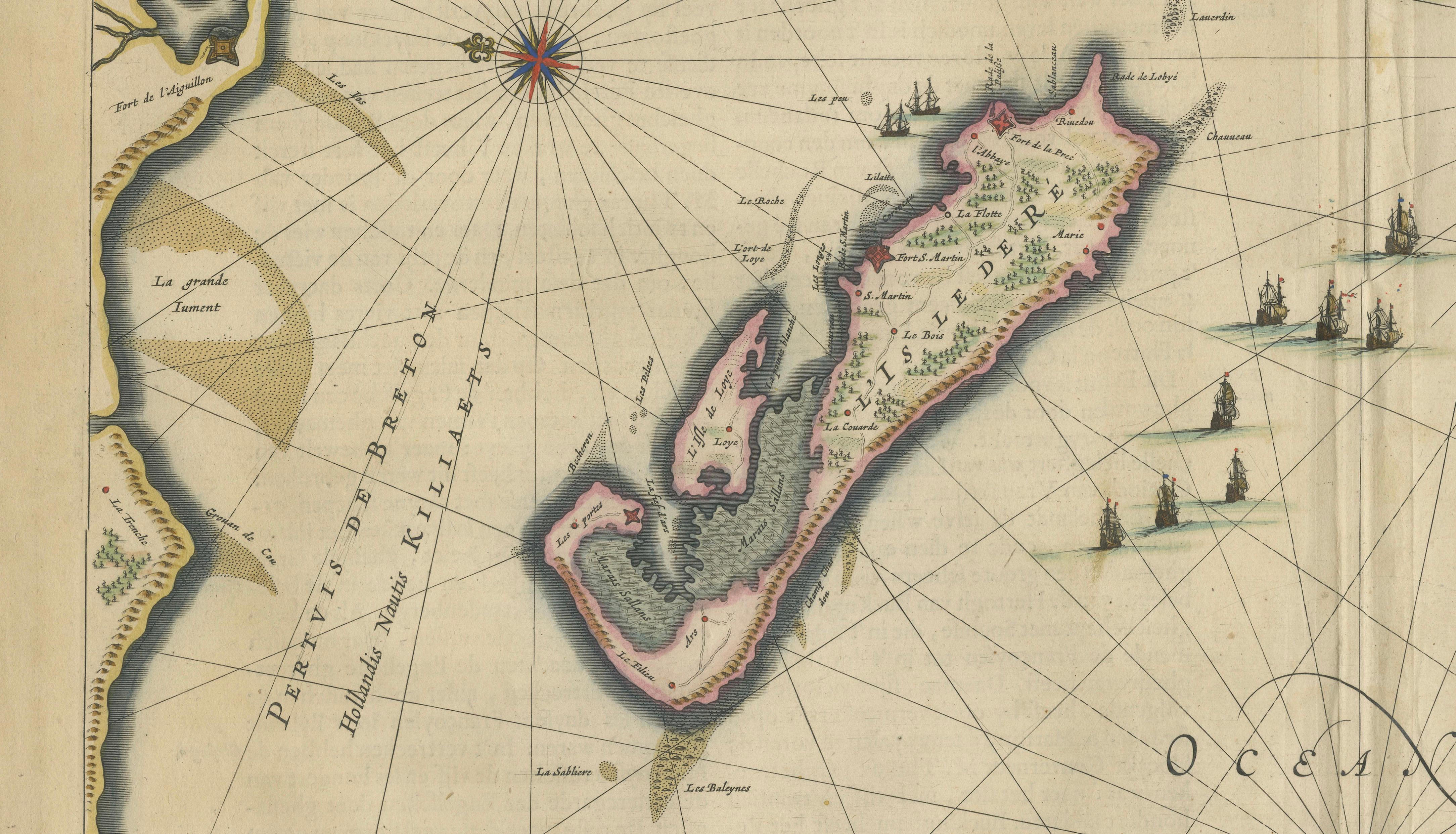
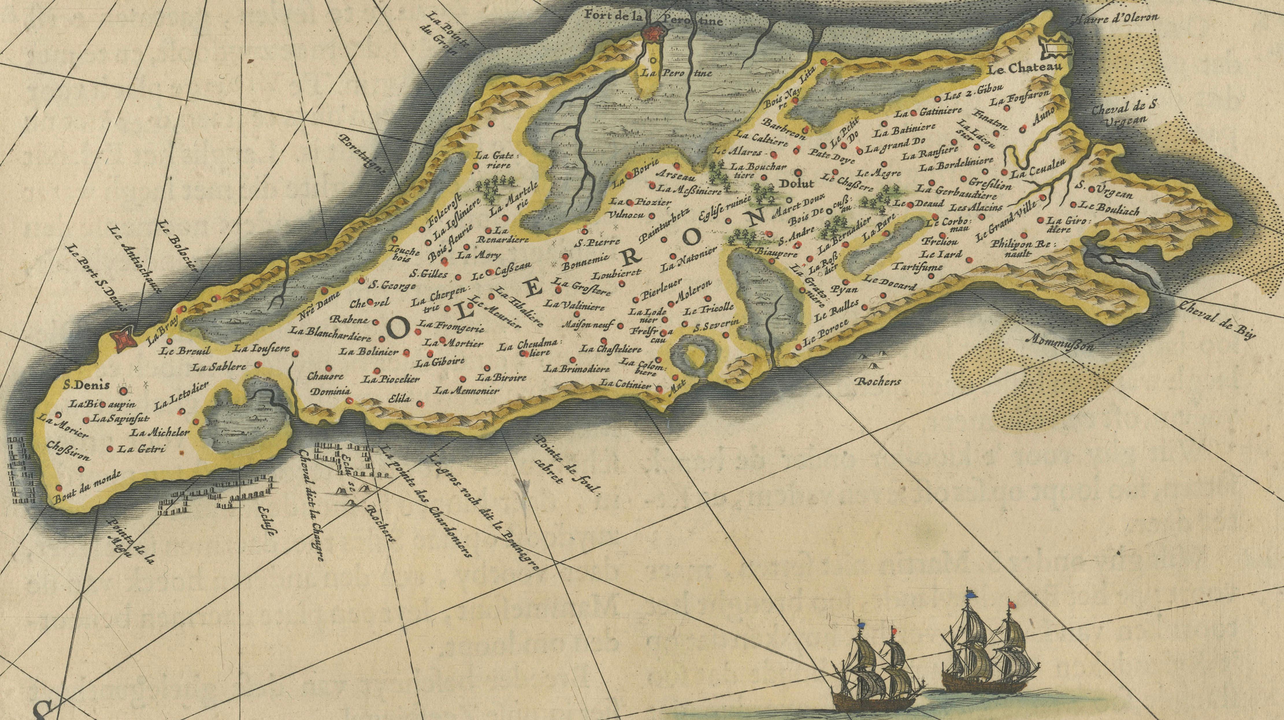
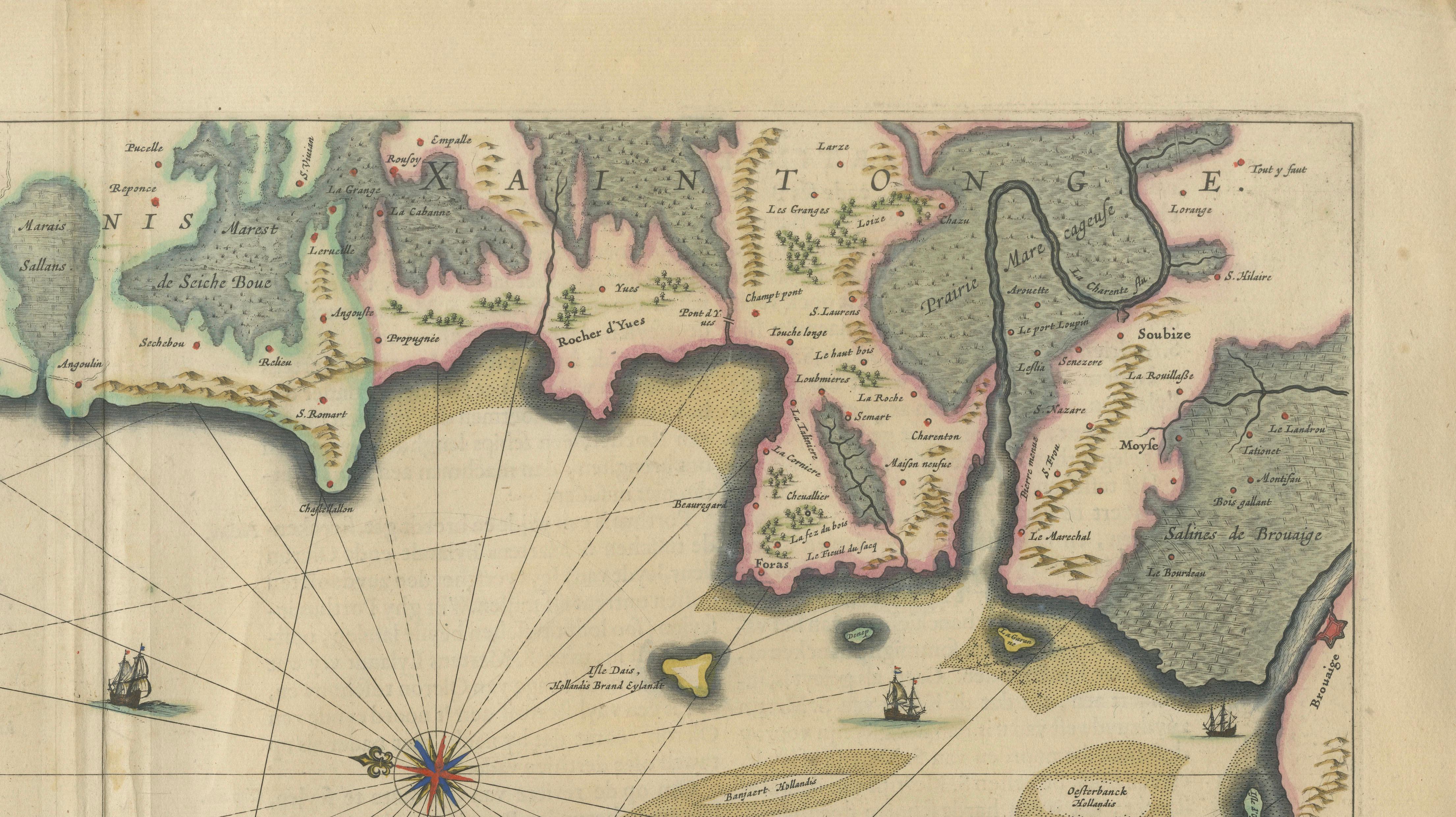
The composition is dominated by the islands of Ré and Oléron, rendered with exceptional clarity and detail, showing towns, coastal fortifications, and intricate shoreline features. The nearby mainland coast of Aunis and Saintonge is carefully delineated, with La Rochelle prominently marked, reflecting its importance as a major maritime and commercial hub in the 17th century.
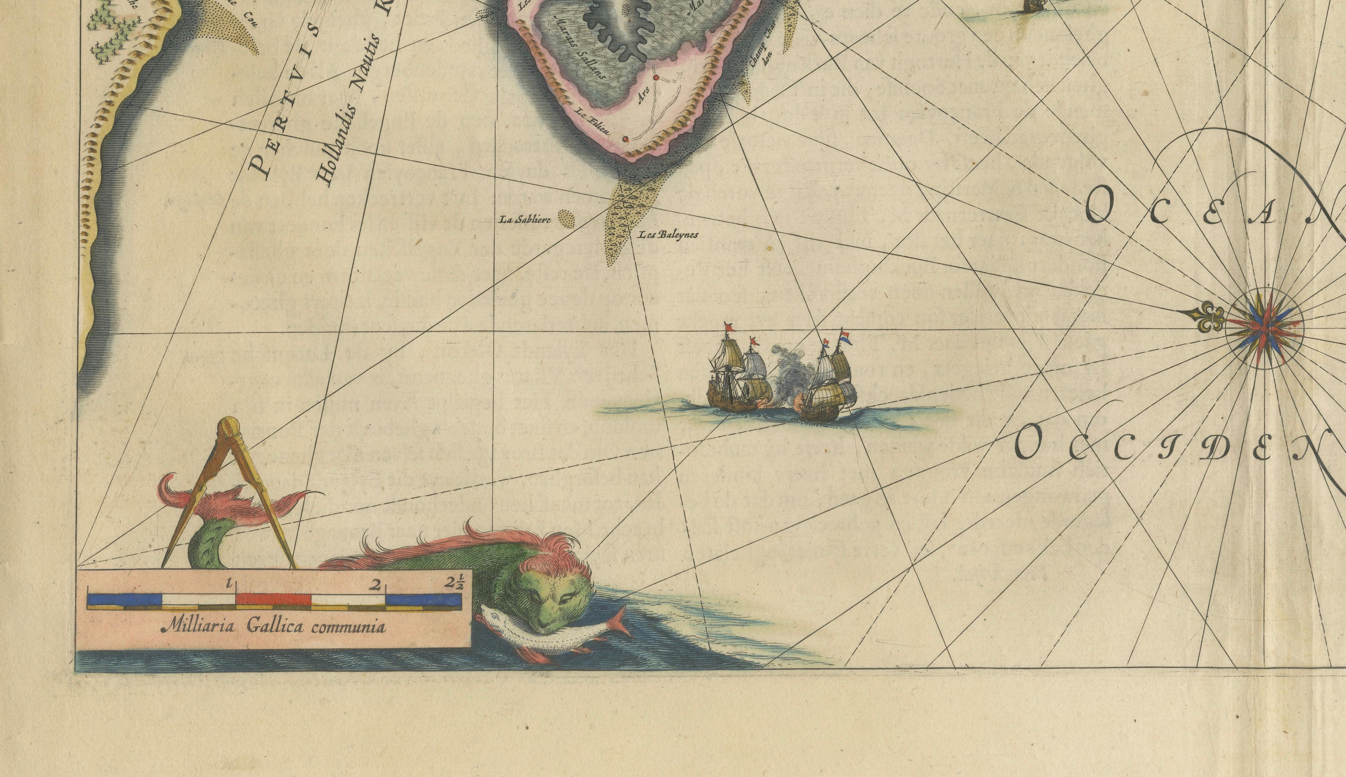
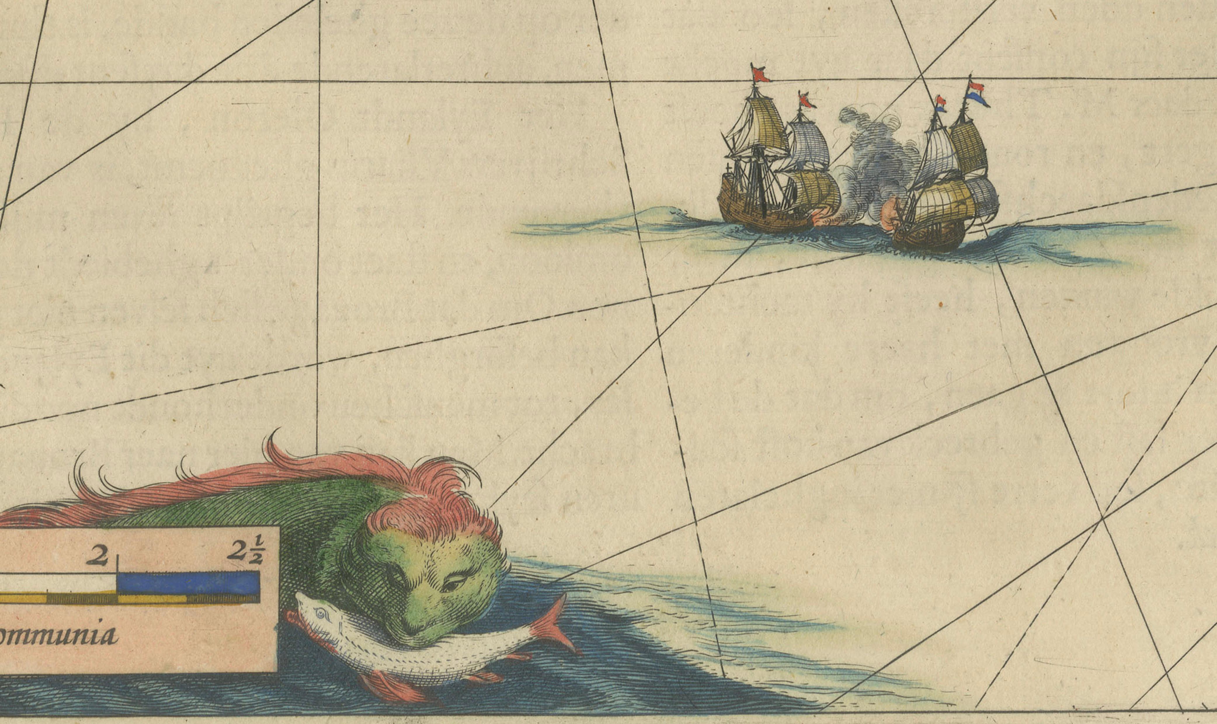
The map is particularly striking for its nautical character. The open sea is filled with an intricate network of rhumb lines radiating from compass roses, guiding navigation across the Atlantic waters. Numerous sailing vessels animate the composition, emphasizing the maritime significance of the region, especially during a period of expanding European trade and naval power.
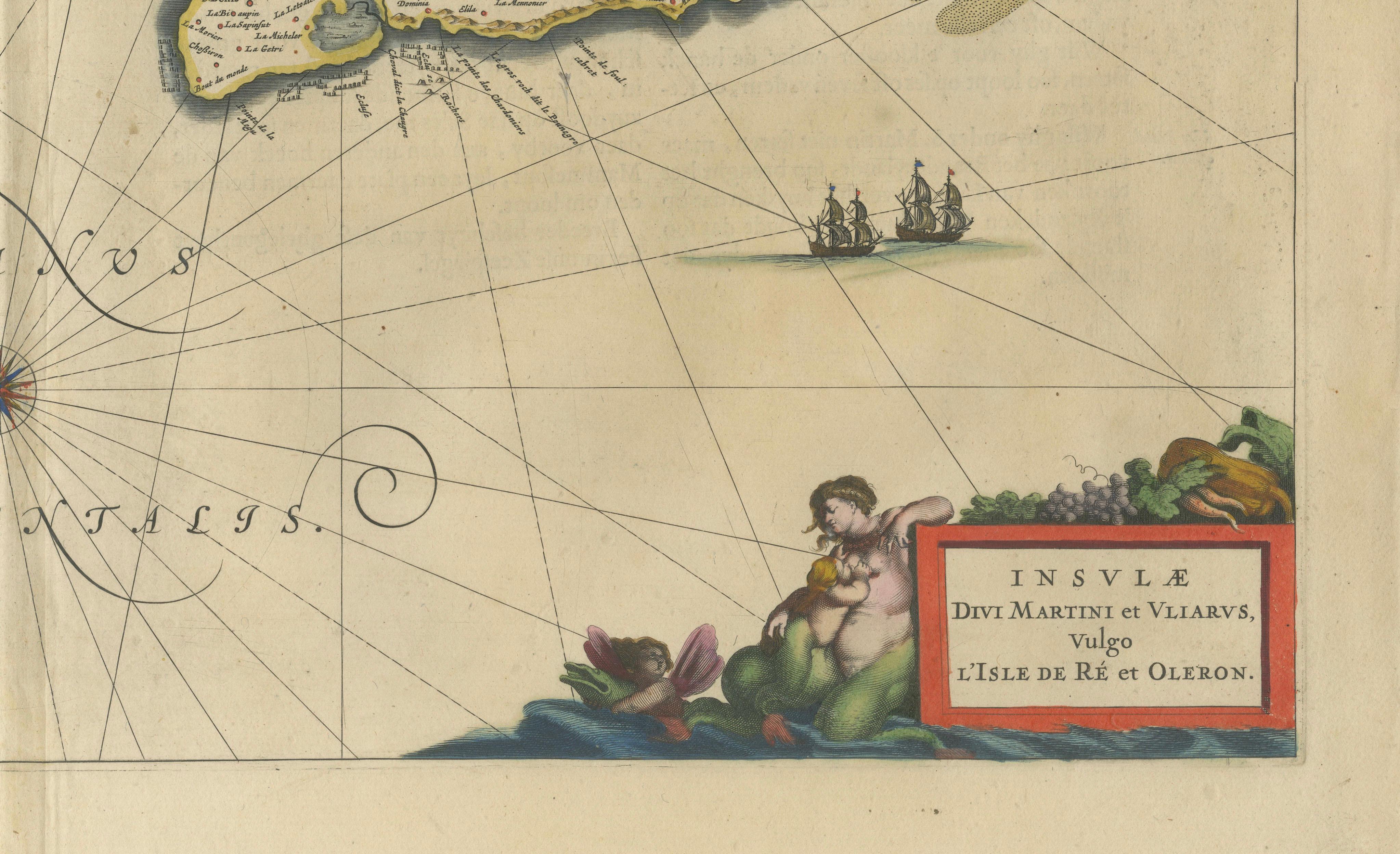
Decorative elements further enhance the visual appeal, including a charming cartouche in the lower right framed by allegorical figures, and a scale cartouche balanced in the lower left. The original hand coloring highlights coastlines, islands, and borders, creating a refined and harmonious palette that complements the precision of the engraving.
Blaeu’s coastal maps are especially prized for their combination of navigational detail and decorative elegance. This example, focusing on one of France’s most historically significant coastal regions, is both a valuable collector’s piece and an ideal work for interior display.
A superb and decorative maritime map, appealing to collectors of French cartography, nautical charts, and Blaeu atlas works, as well as to designers seeking a refined coastal statement piece.
Condition:
Good condition overall for its age, with central fold as issued. Light toning and minor foxing consistent with age. Wide margins. The engraving is sharp with well-preserved original hand coloring. Any small imperfections are typical for works of this period and do not detract from the overall presentation.
Framing tips:
This map lends itself beautifully to a coastal or light interior setting. A natural wood, black, or bronze frame with a wide off-white mat will enhance the airy composition and emphasize the sea and islands. For a more classic look, a dark walnut frame with a museum-style mount provides a refined contrast. A generous matting is recommended to give the piece presence on the wall.
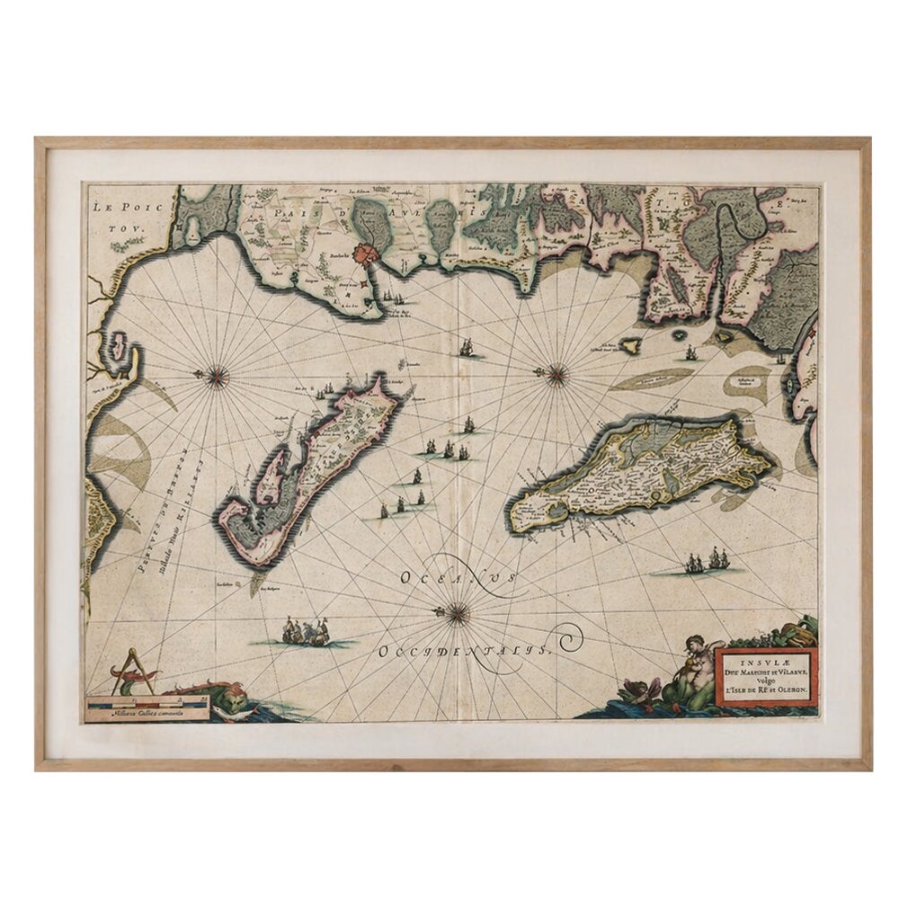
Special note: This is an original 17th-century map, not a reproduction. All items we offer are authentic period works of art over 100 years old. The map is sold unframed; any framed images are shown for presentation and interior inspiration only and may not always be to scale.
Keywords:
Isle de Ré map, Oléron map, La Rochelle map, Atlantic coast France map, Blaeu France map, 17th century French map, nautical map France, maritime chart France, Dutch Golden Age map, Blaeu atlas map, French coastal map, Aunis Saintonge map, decorative antique map France, Willem Blaeu map, Joan Blaeu map, old map La Rochelle, sea chart France, rhumb lines map, sailing ships map, collectors map France
Technique: Copperplate engraving with original hand coloring
Maker: Willem & Joan Blaeu, Amsterdam, circa 1642