About this sheet
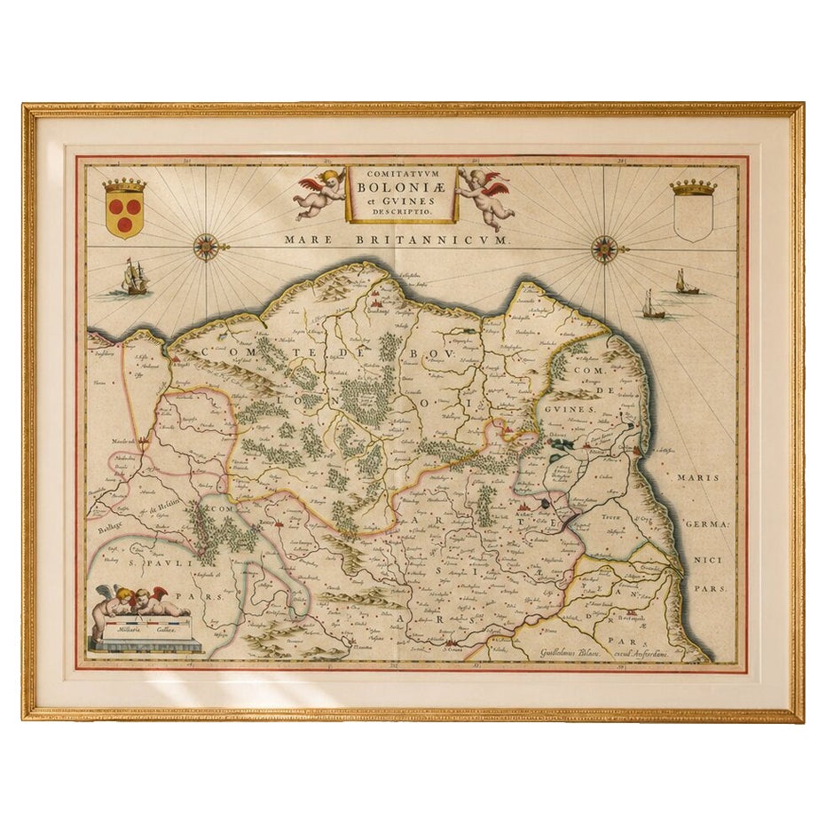
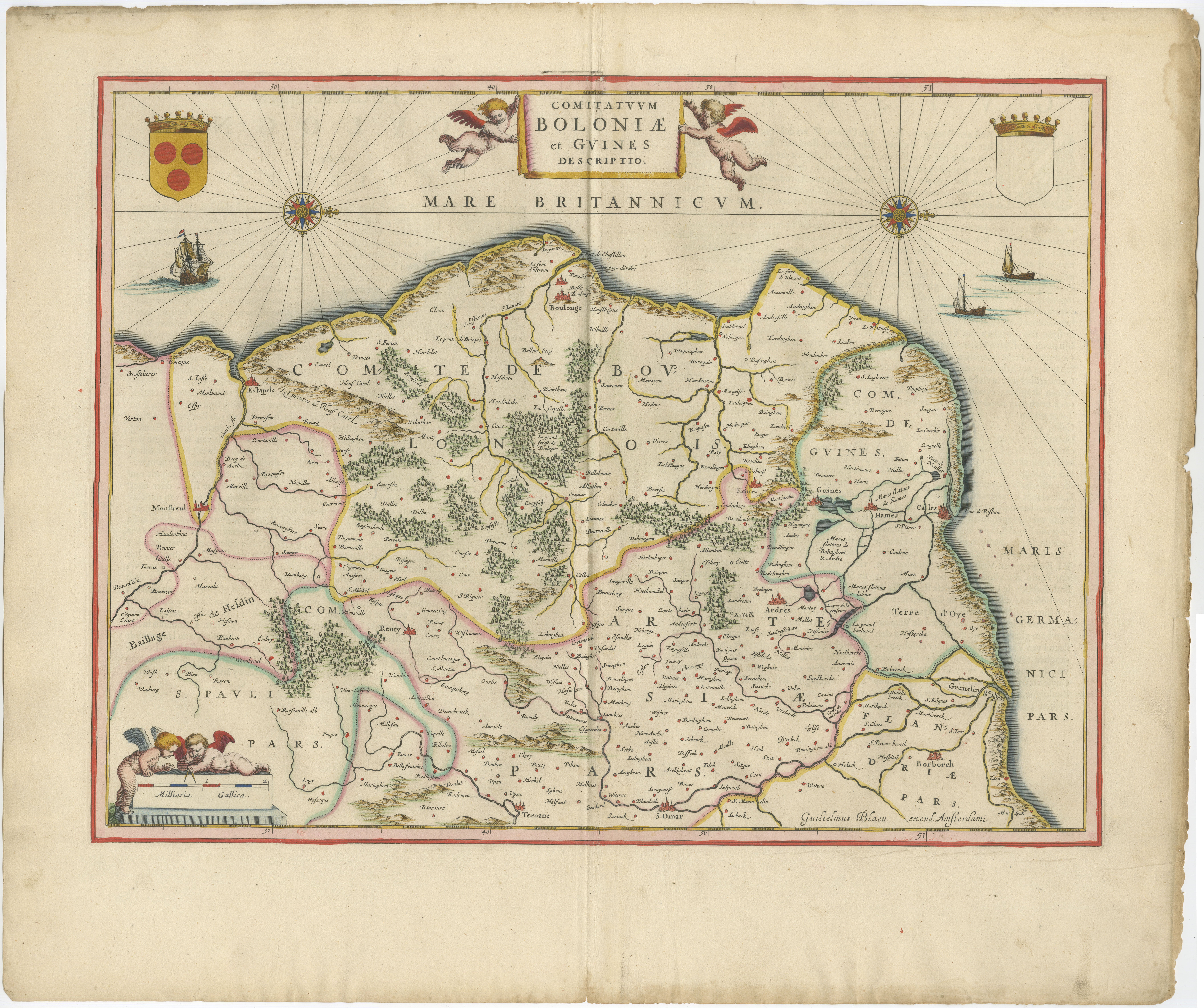
Blaeu Map of Boulogne, Calais & Guînes – Coastal France, Ships c.1642
A striking and highly decorative 17th-century map of the northern French coast, centered on Boulogne-sur-Mer, Calais, and Guînes, published by Willem and Joan Blaeu in Amsterdam around 1642. This elegant composition evokes not only the strategic coastline of the English Channel, but also a region long associated with rich culinary traditions, from the historic Maroilles cheese of Picardy to the coastal seafood culture of oysters and mussels, and the broader gastronomic landscape of northern France.
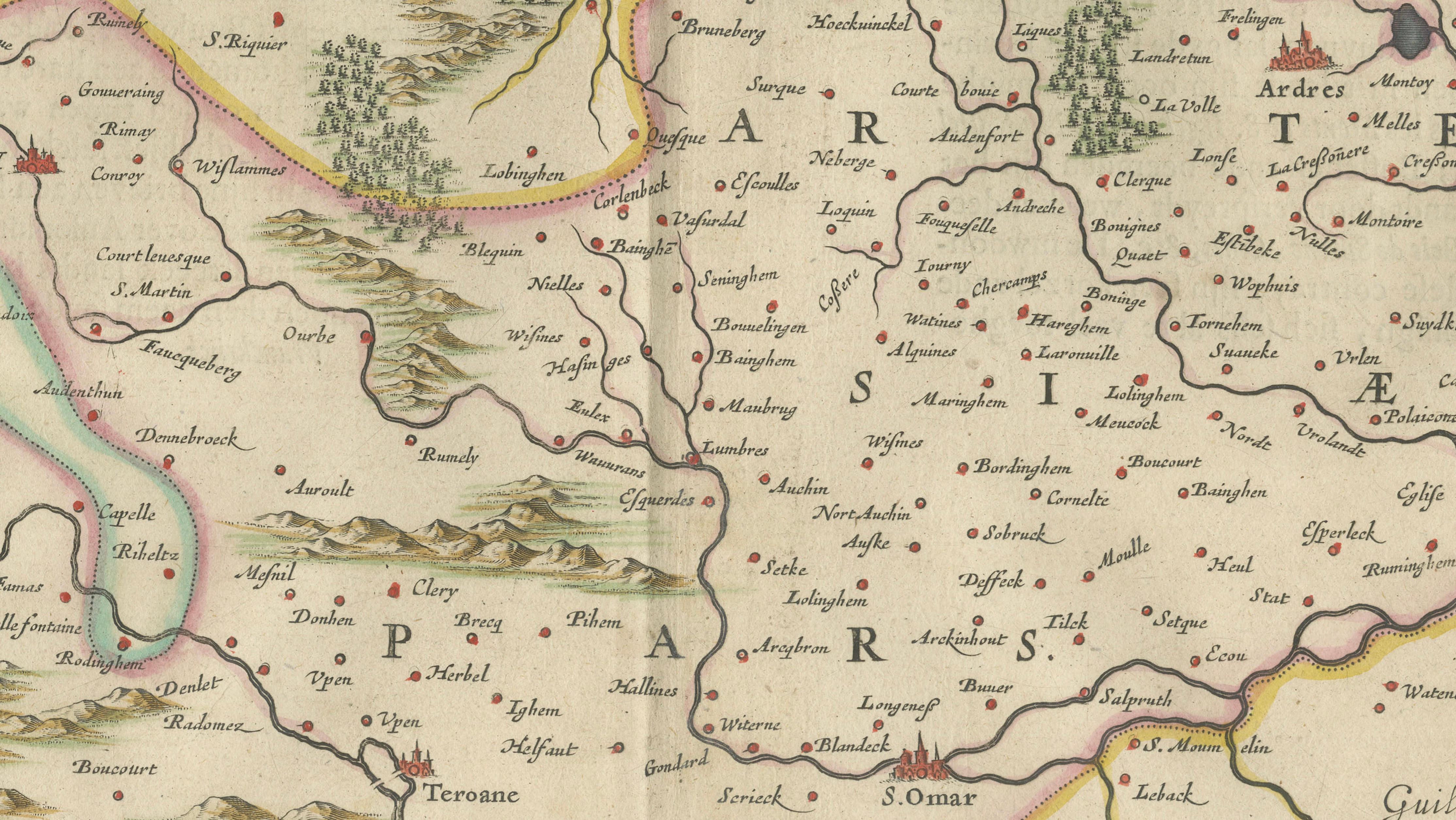
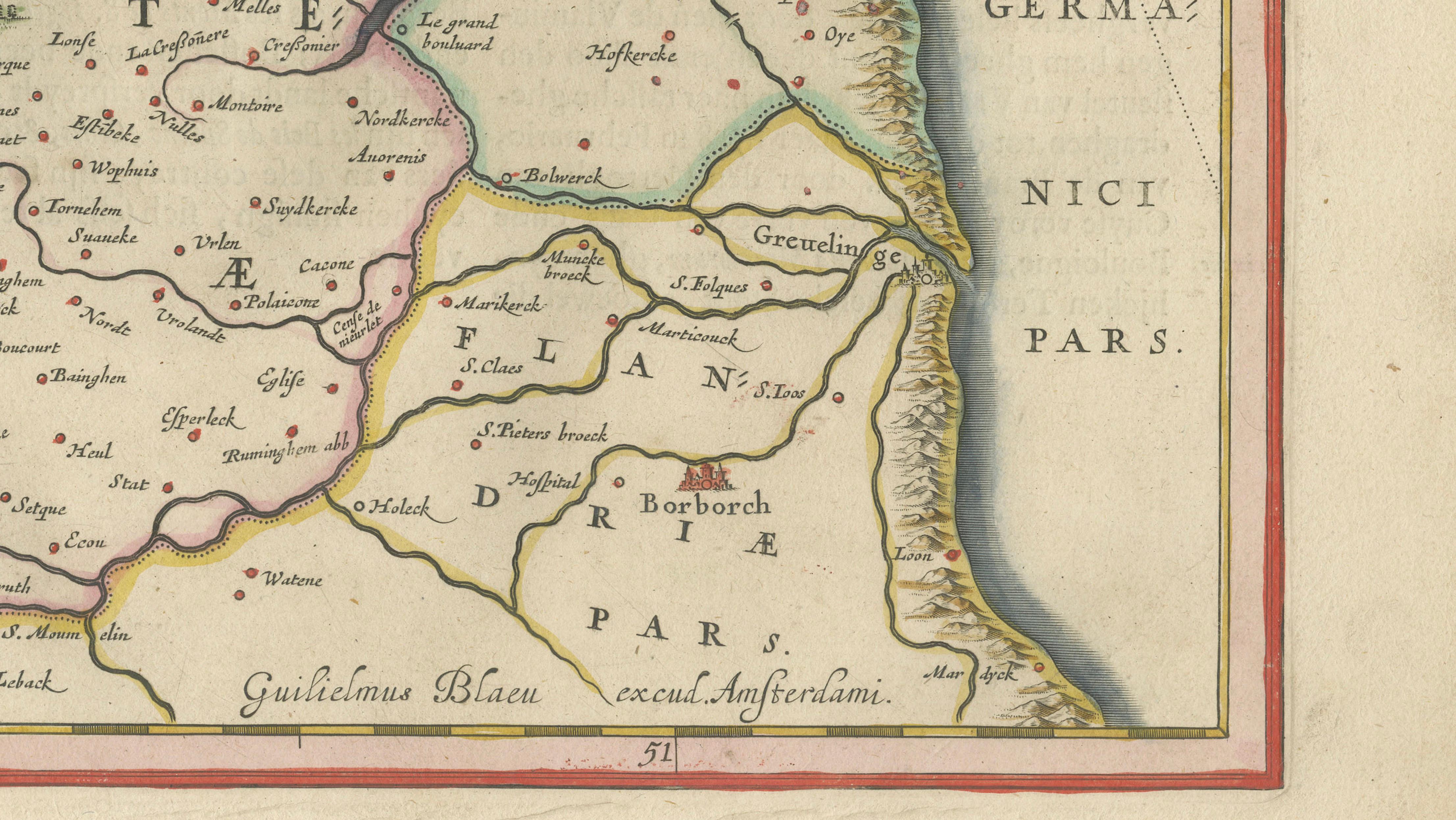
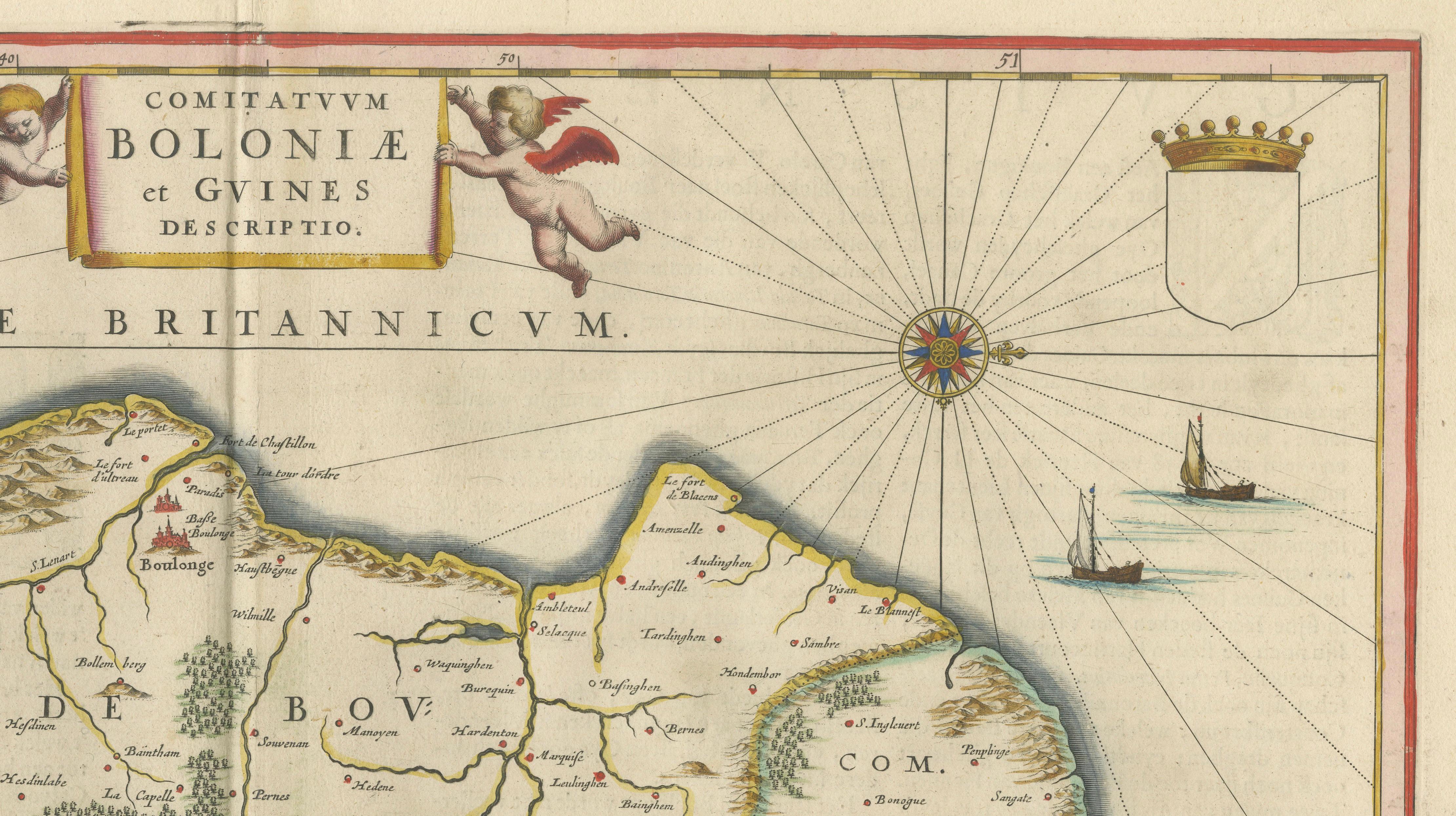
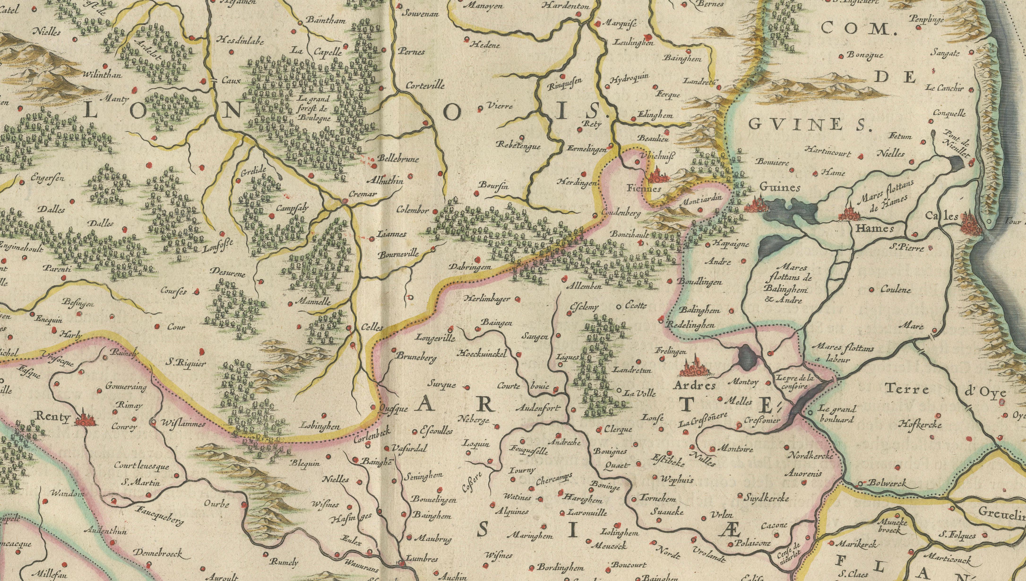
Titled Comitatus Boloniae et Gvines Descriptio, the map originates from Blaeu’s celebrated Toonneel des Aerdrycx, one of the most refined atlases of the Dutch Golden Age. It depicts the counties of Boulogne, Calais, and Guînes in remarkable detail, extending inland toward Saint-Omer and Thérouanne, while the coastline is vividly articulated with bays, ports, and maritime routes along the Mare Britannicum (English Channel).
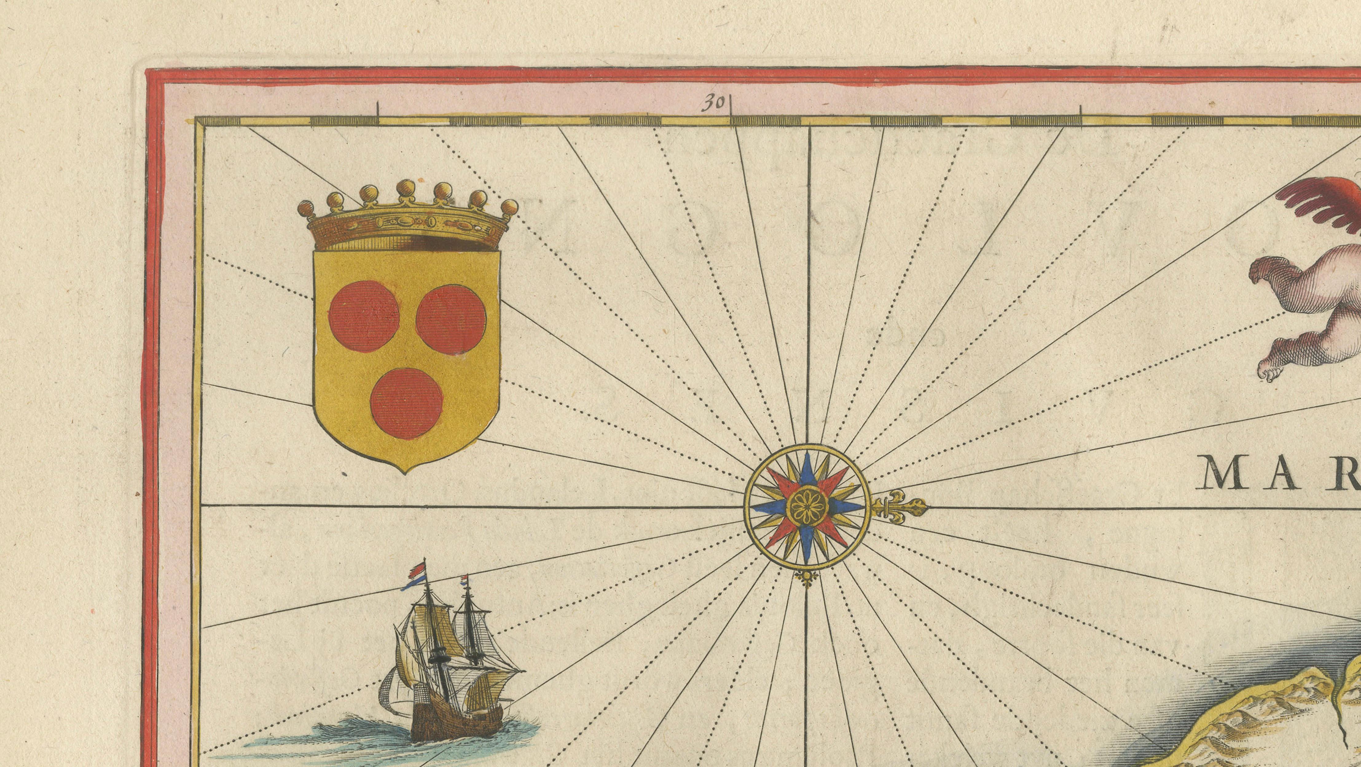
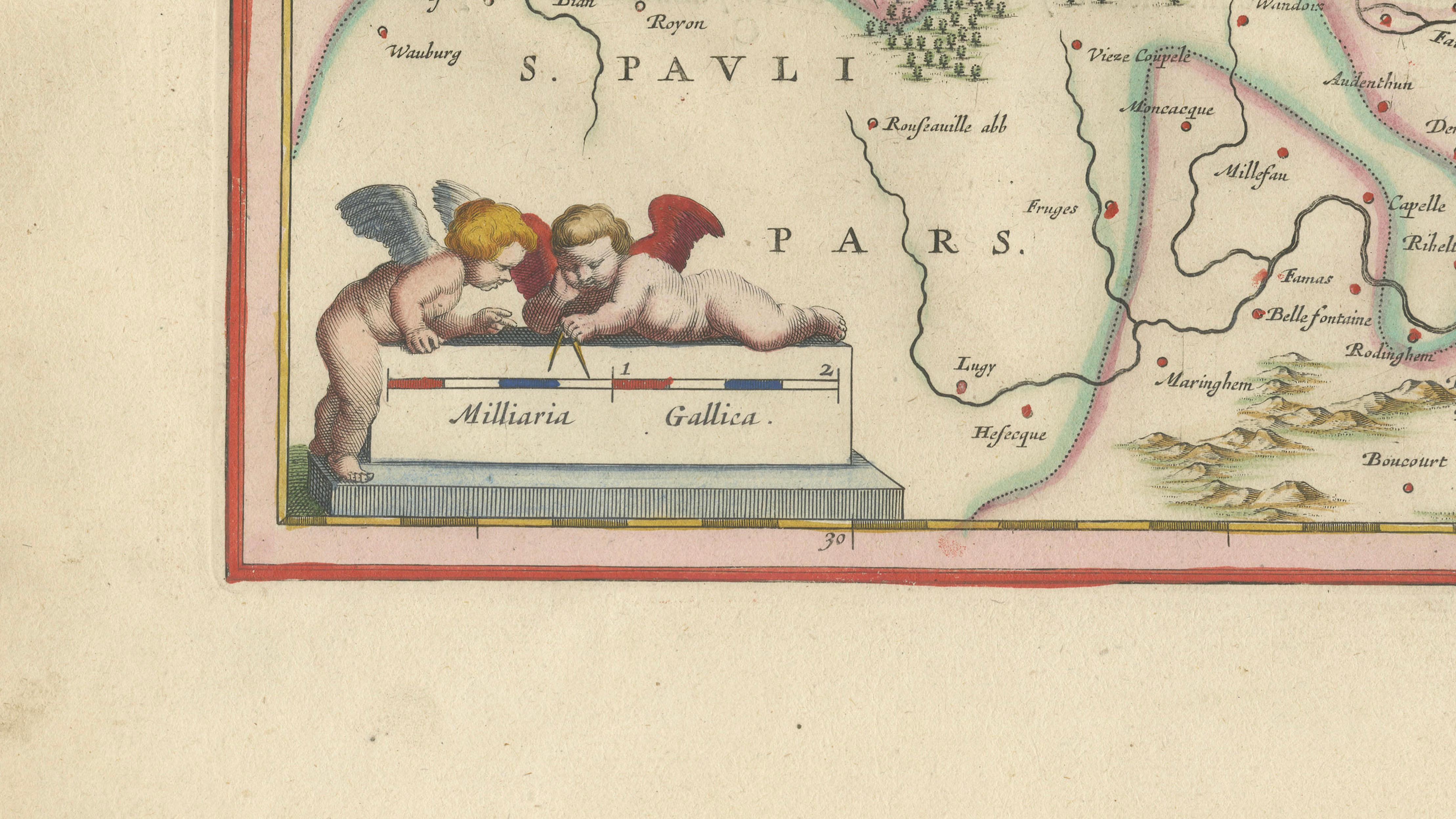
The composition is particularly dynamic and visually engaging. The sea is animated with finely engraved sailing ships and radiating compass lines, reinforcing its maritime character and decorative appeal. At the top center, a richly ornamented cartouche supported by cherubs displays the title, flanked by heraldic shields, while an additional decorative vignette with putti appears in the lower left. These elements give the map a sense of movement and theatricality that distinguishes it from more static regional maps.
Beyond its visual appeal, this region held significant historical importance as a gateway between France and England, central to trade, diplomacy, and military campaigns. The proximity to Flanders and the Low Countries further enhances its relevance within early modern European geography.
The engraving is executed with Blaeu’s characteristic precision and clarity, showing an intricate network of towns, villages, rivers, and roads. The original hand coloring highlights regional boundaries and enhances readability while preserving the refined balance of the composition.
Today, this map appeals to collectors and interior designers alike. Its maritime subject, combined with strong decorative features and cultural associations, makes it an exceptional display piece—equally suited to a refined study, library, or luxury interior.
Condition:
Very good condition for its age. Original hand coloring. Central fold as issued. Light age toning and minor handling wear to the margins. Paper remains strong and well-preserved.
Framing tips:
This map displays beautifully in a dark walnut or ebonized frame with a wide ivory or cream mat, emphasizing the warmth of the paper and the richness of the hand coloring. For a lighter interior, a gold or bronze frame with a crisp off-white mat enhances the maritime and decorative elements.
Keywords:
Boulogne, Boulogne-sur-Mer, Calais, Guînes, Pas-de-Calais, Northern France, French coast, English Channel, Mare Britannicum, Picardy, Artois, Saint-Omer, Thérouanne, Gravelines, Dunkirk, Flanders coast, Hauts-de-France, coastal France map, maritime map, sea chart style, ships, sailing vessels, navigation, compass lines, Blaeu map, Willem Blaeu, Joan Blaeu, Dutch Golden Age, 17th century map, antique map, copper engraving, hand colored map, Toonneel des Aerdrycx, historical map, decorative map, collectible map, Maroilles cheese, French gastronomy, coastal seafood, oysters, mussels
Special note: This is an original 17th-century map, not a reproduction. All items we offer are authentic period works of art over 100 years old. The map is sold unframed; any framed images are shown for presentation and interior inspiration only and may not always be on scale with the original.
Technique: Copperplate engraving with original hand-coloring
Maker: Willem & Joan Blaeu, Amsterdam, c.1642