About this sheet
Blaeu Venezuela Map – Decorative Caribbean & Nueva Andalusia Chart 1642
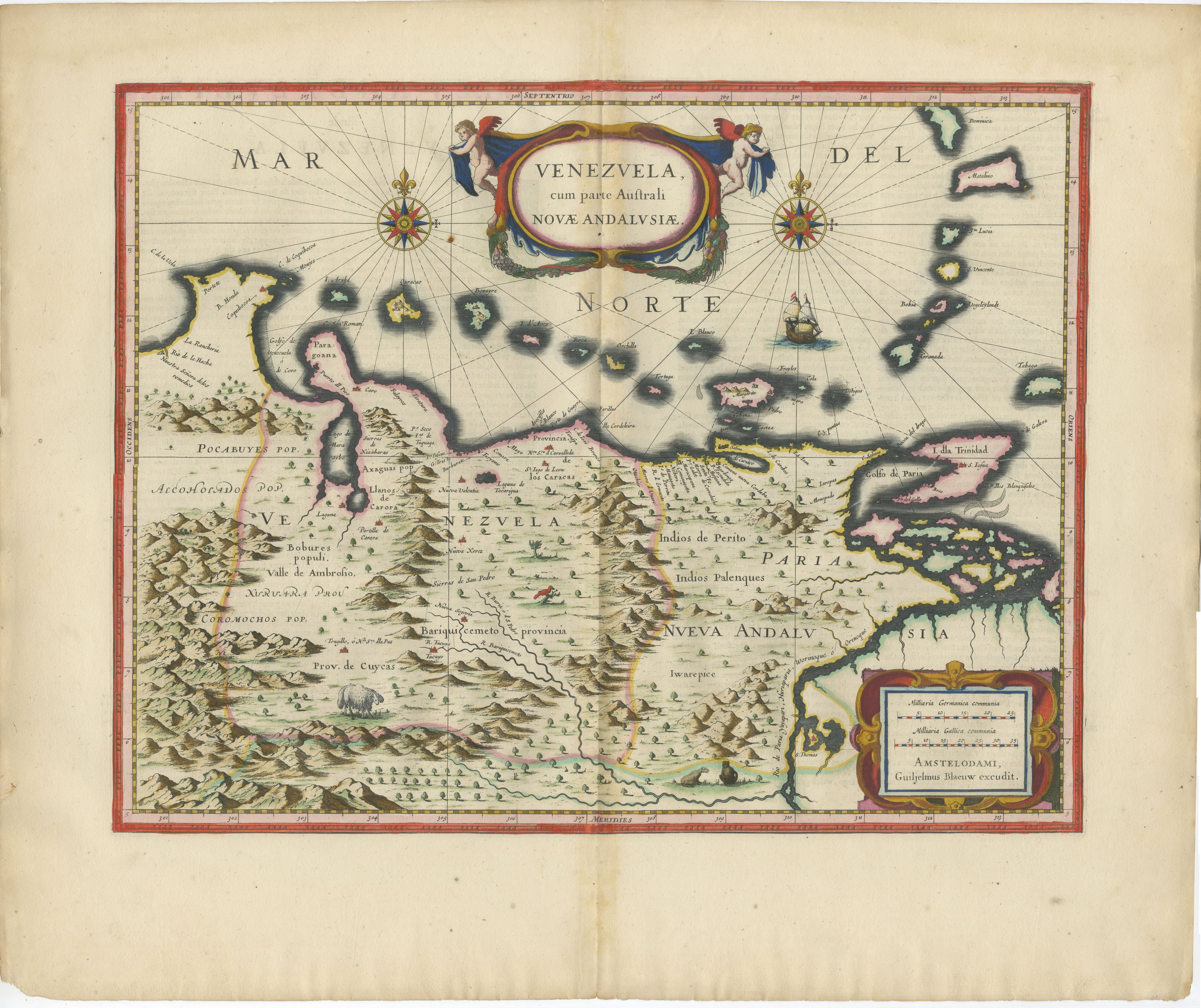
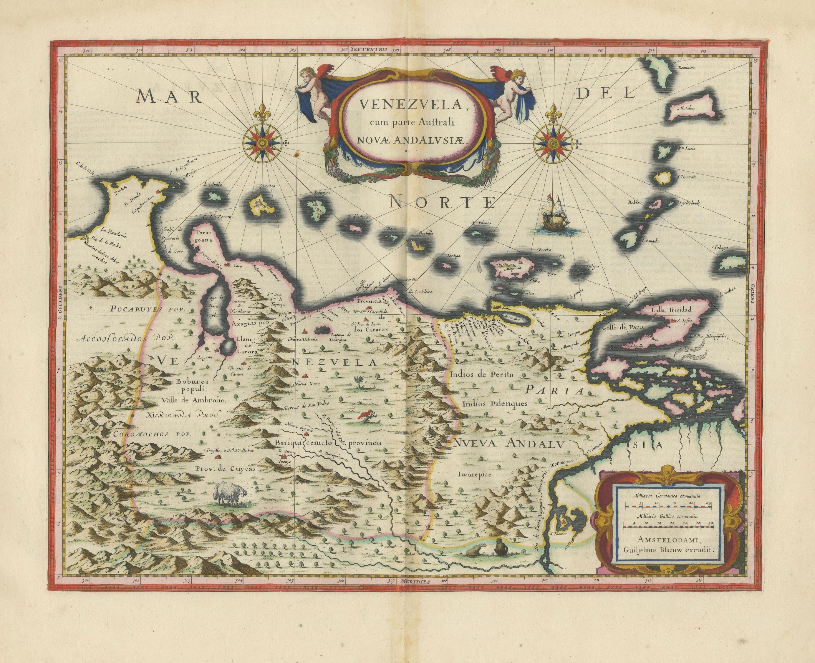
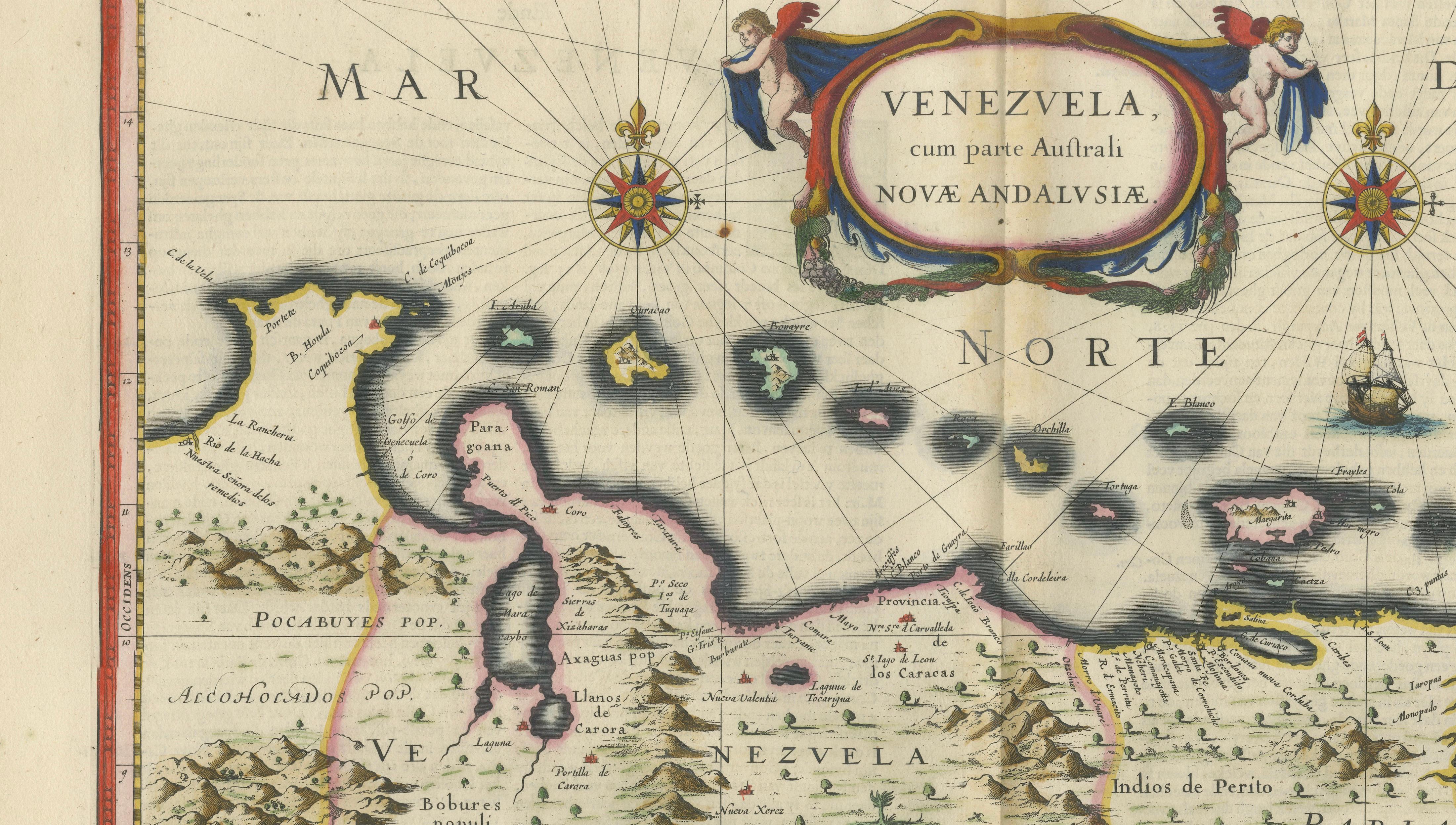
A highly decorative and historically important map of Venezuela and the northern coast of South America, published by Willem and Joan Blaeu in Amsterdam around 1642. This finely engraved example, titled Venezuela, cum parte Australi Novae Andalusiae, originates from Blaeu’s celebrated atlas Toonneel des Aerdrycx, produced at the height of the Dutch Golden Age of cartography.
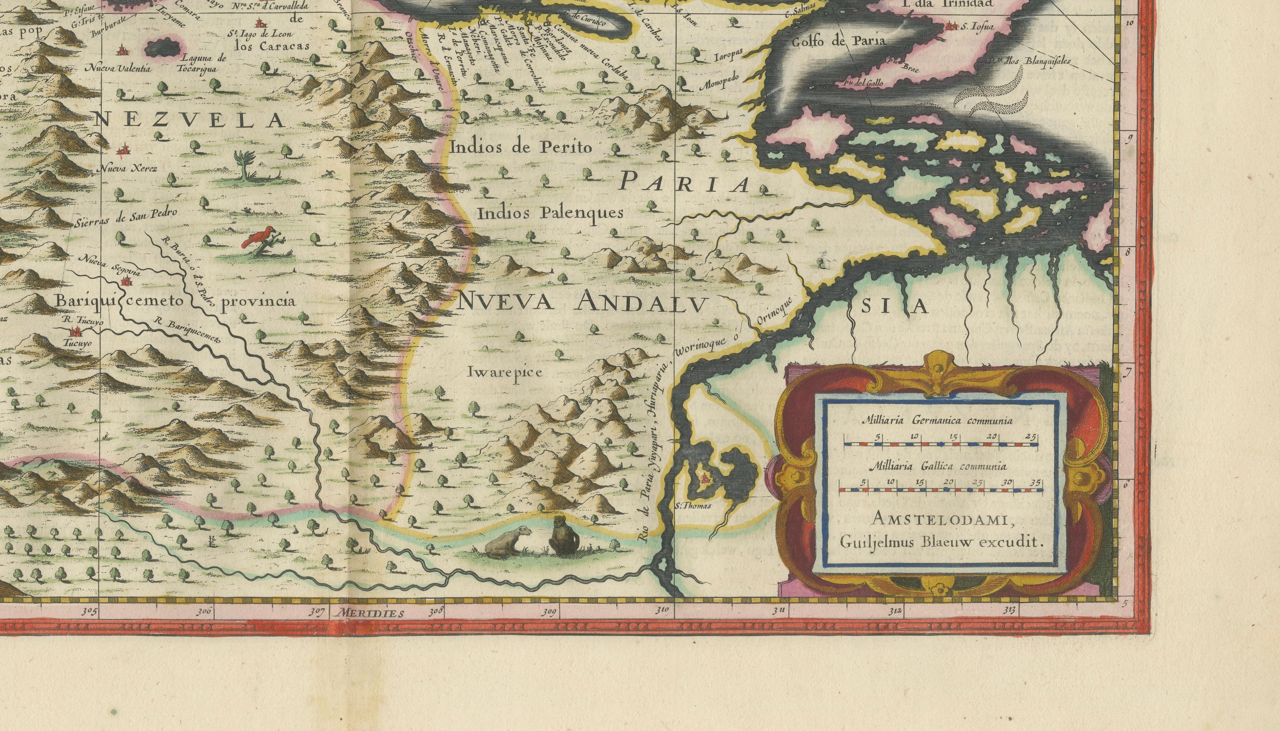
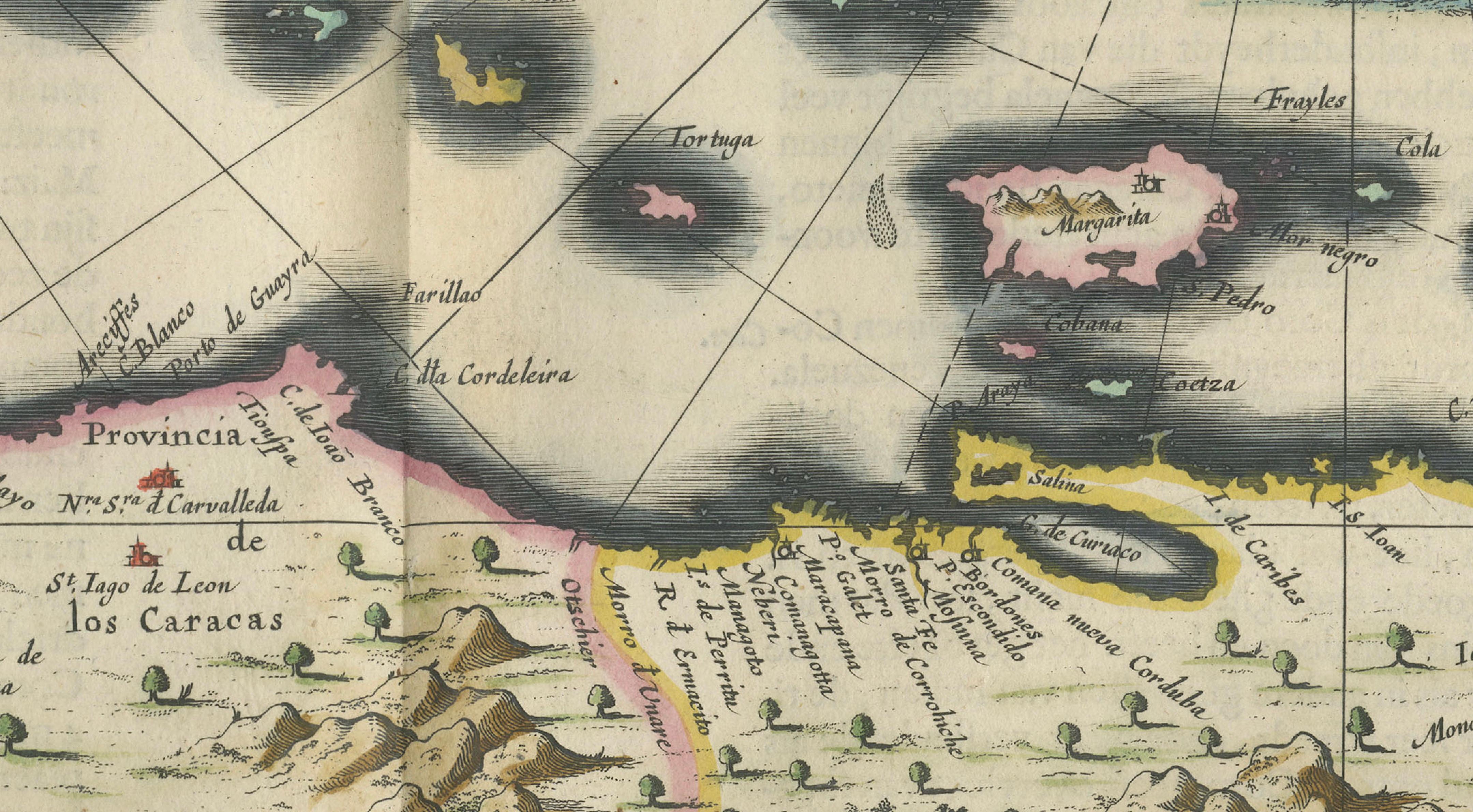
The map depicts the Caribbean coastline of present-day Venezuela, extending eastward to Trinidad and the Lesser Antilles, which are carefully arranged across the upper portion of the composition. The mainland is rendered with bold pictorial relief, showing mountain ranges, rivers, and settlements, while the interior includes animals and early representations of indigenous presence, adding narrative richness to the scene. The coastline is crisply defined, reflecting the growing European understanding of this strategically important region.
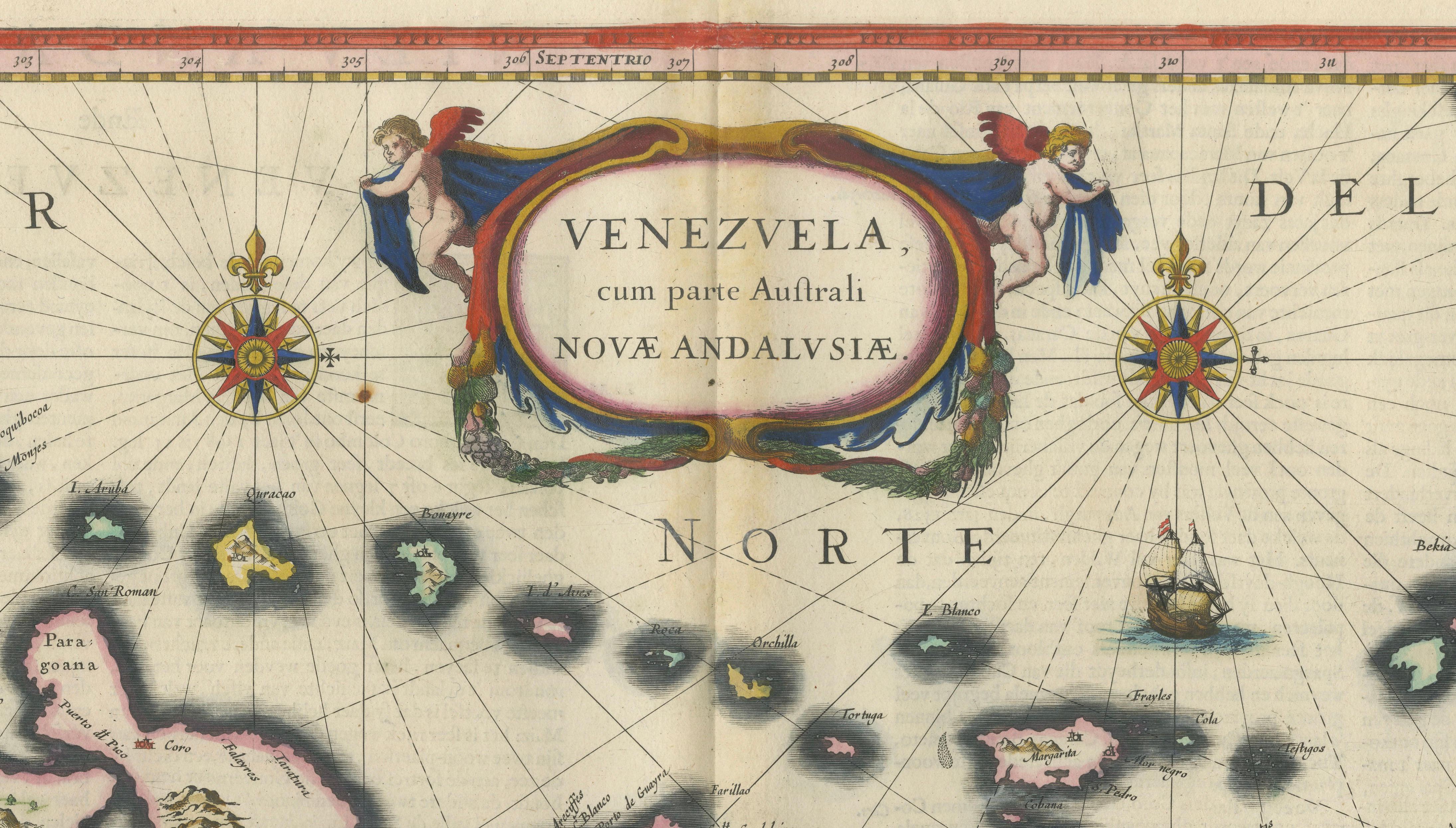
The composition is both elegant and dynamic. Two finely engraved compass roses radiate across the sea, intersected by rhumb lines that create a sense of movement and navigation. A sailing vessel animates the waters, reinforcing the maritime character of the map. At the top center, an elaborate Baroque cartouche is flanked by cherubic figures, providing a strong decorative focal point. A second cartouche in the lower right bears the imprint of the Blaeu firm in Amsterdam, grounding the map firmly within one of the most prestigious publishing houses of the 17th century.
Original hand-coloring enhances the map beautifully, with soft yet vivid tones used to delineate regions, coastlines, and islands. The contrast between the dark coastal outlines and the lighter interior adds depth and clarity, making the map both visually striking and easy to read.
Maps of Venezuela and the Caribbean from this period are highly sought after, particularly those by Blaeu, due to their combination of historical importance and strong decorative appeal. This example works exceptionally well as a standalone statement piece or as part of a larger wall composition of early South American maps.
Condition: Good condition for its age. Original central fold as issued. Light overall toning consistent with age. Minor wear and some faint staining, mainly in the margins. Edges slightly irregular. Colors remain strong and attractive. Please study image carefully.
Framing: This piece presents beautifully in a dark walnut or ebonized wood frame with a wide warm ivory mat. A museum-style presentation enhances the decorative cartouches and coastal detail. Particularly effective in a darker study or classic interior setting.
Keywords: Venezuela, Nueva Andalusia, Caribbean, Trinidad, Lesser Antilles, South America, Willem Blaeu, Joan Blaeu, Dutch cartography, antique map Venezuela, 17th century map, Toonneel des Aerdrycx, Dutch Golden Age, Caracas, coastal map, maritime navigation, compass rose, cartouche, decorative map, colonial South America
Special note: This is an original 17th-century map, not a reproduction. All items we offer are authentic period works of art over 100 years old. The map is sold unframed; any framed images are shown for presentation and interior inspiration only and may not always be on scale with the original.
Technique: Copperplate engraving with original hand-coloring
Maker: Willem & Joan Blaeu, Amsterdam, c.1642