About this sheet
Mozambique Bay – French Naval Sea Chart by Bellin, c.1765
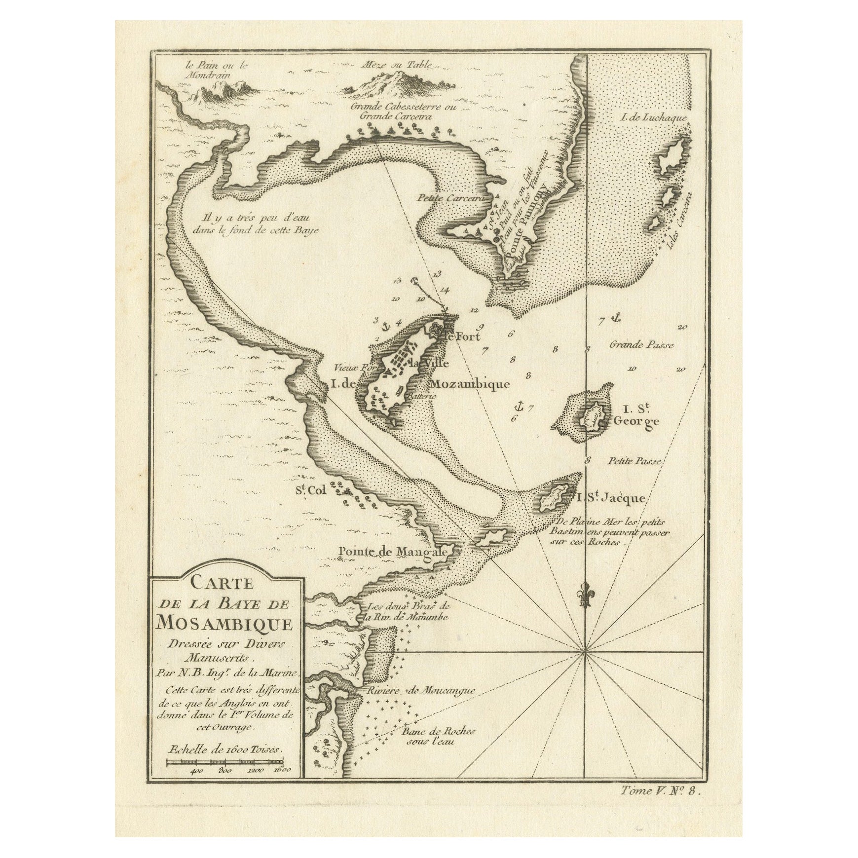
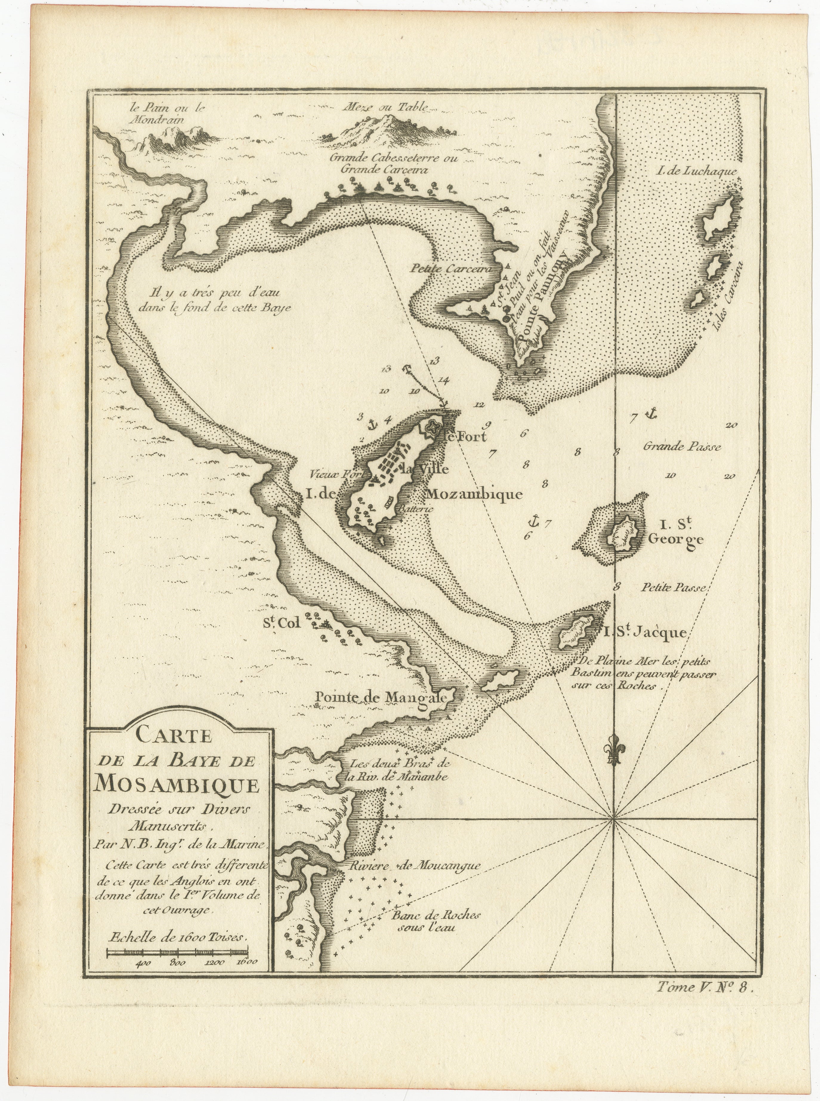
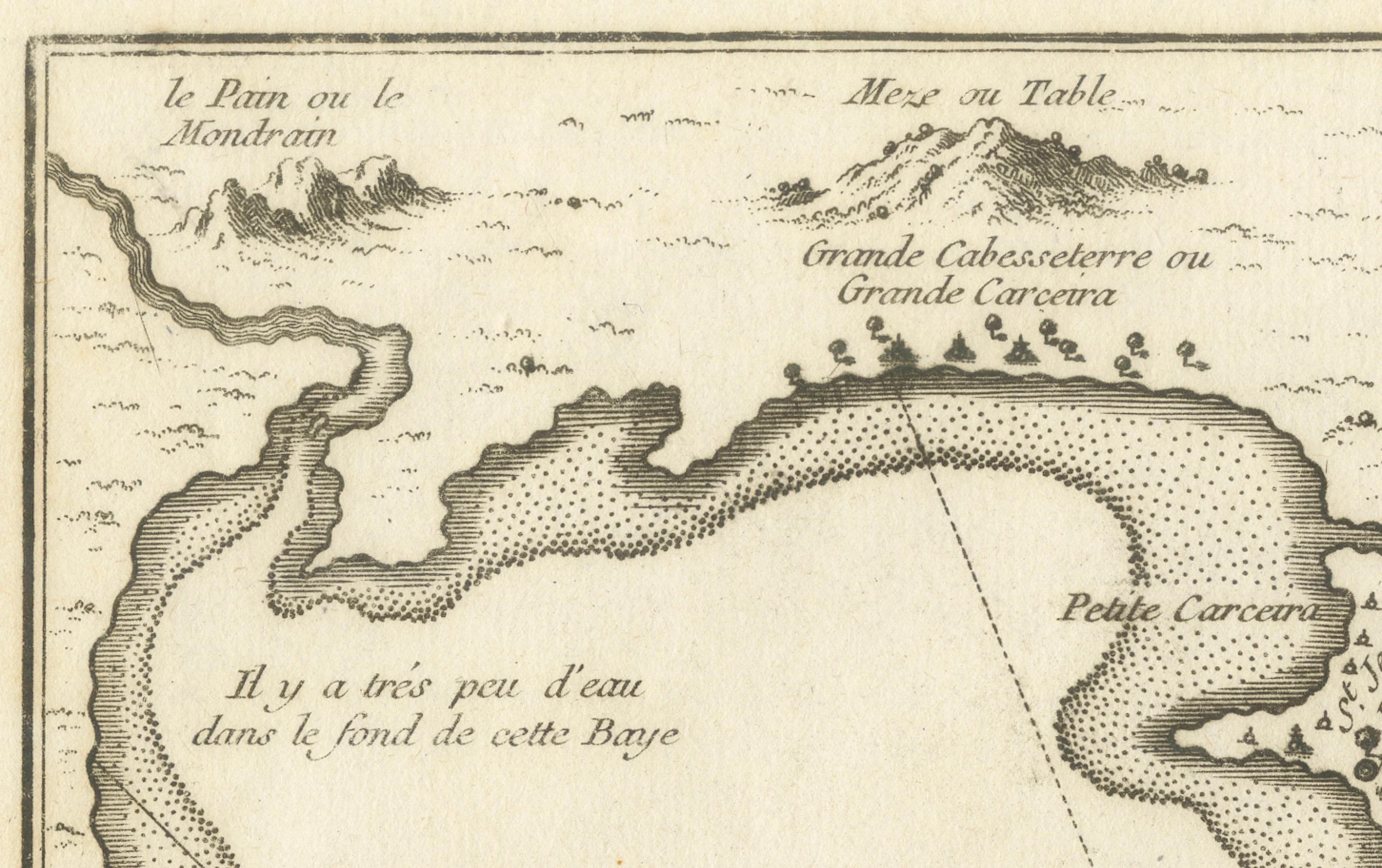
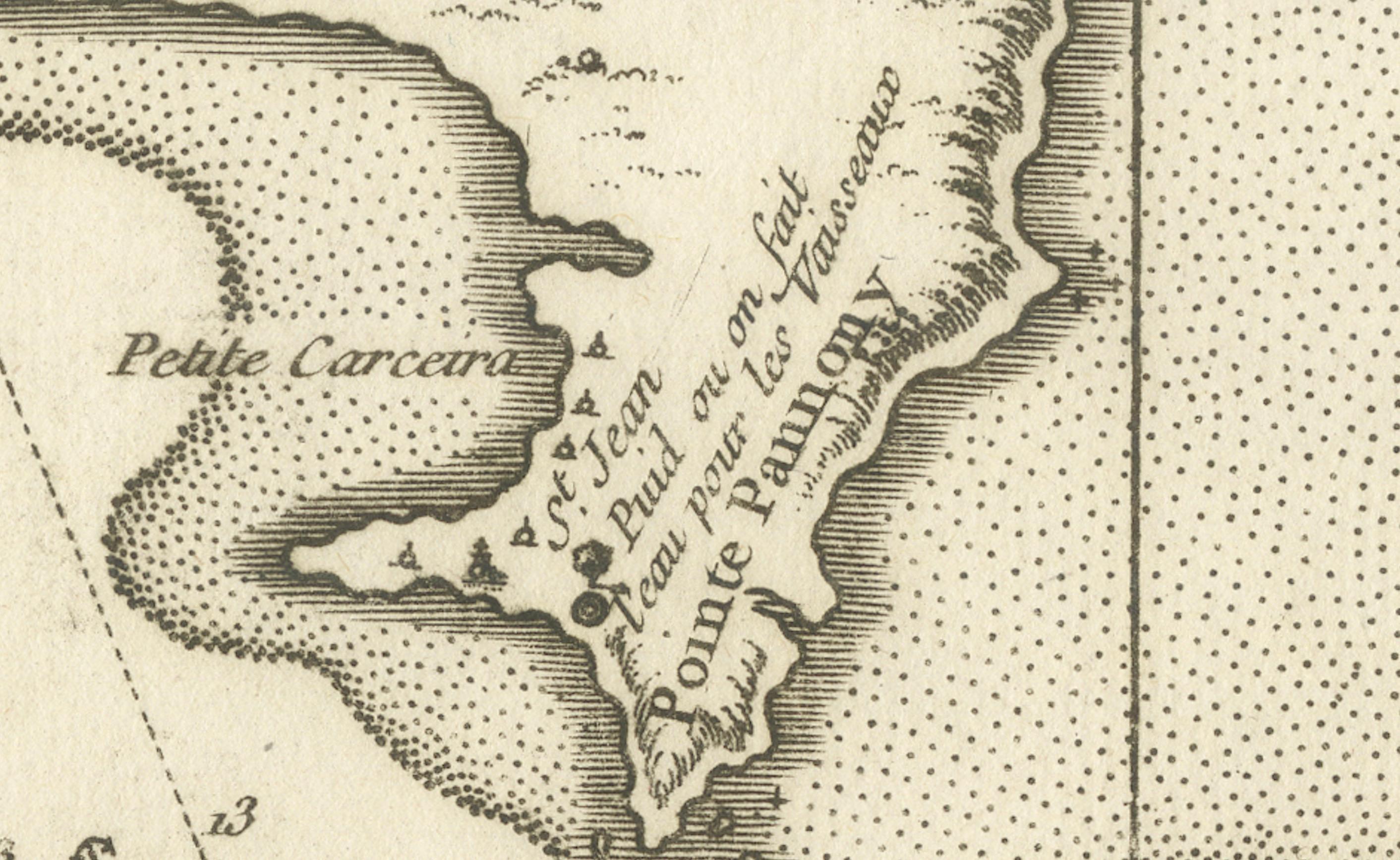
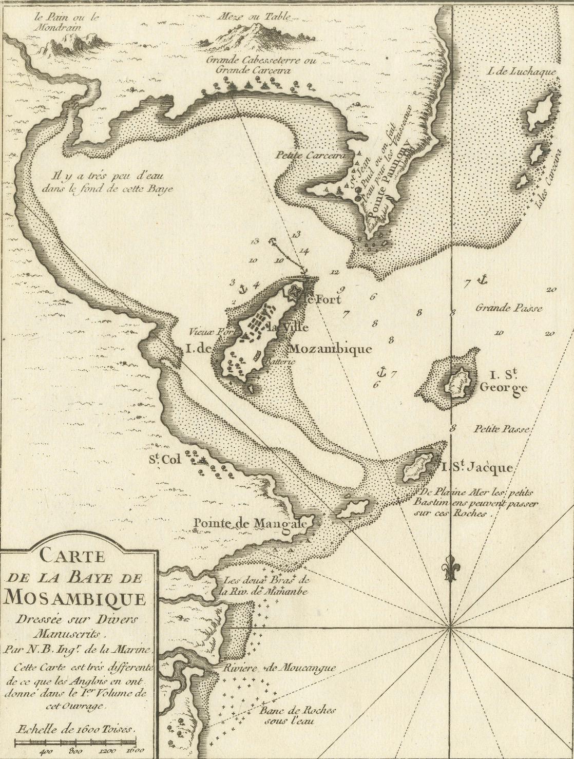
This detailed French sea chart depicts the Bay of Mozambique and the strategically vital island settlement of Mozambique, shown with its fortifications, anchorages, and surrounding islands. The map is titled “Carte de la Baye de Mosambique” and was engraved under the direction of Jacques-Nicolas Bellin, Hydrographer to the French King. It was published in Paris as part of Bellin’s hydrographic work for the Dépôt des cartes et plans de la Marine, circa 1760–1770.
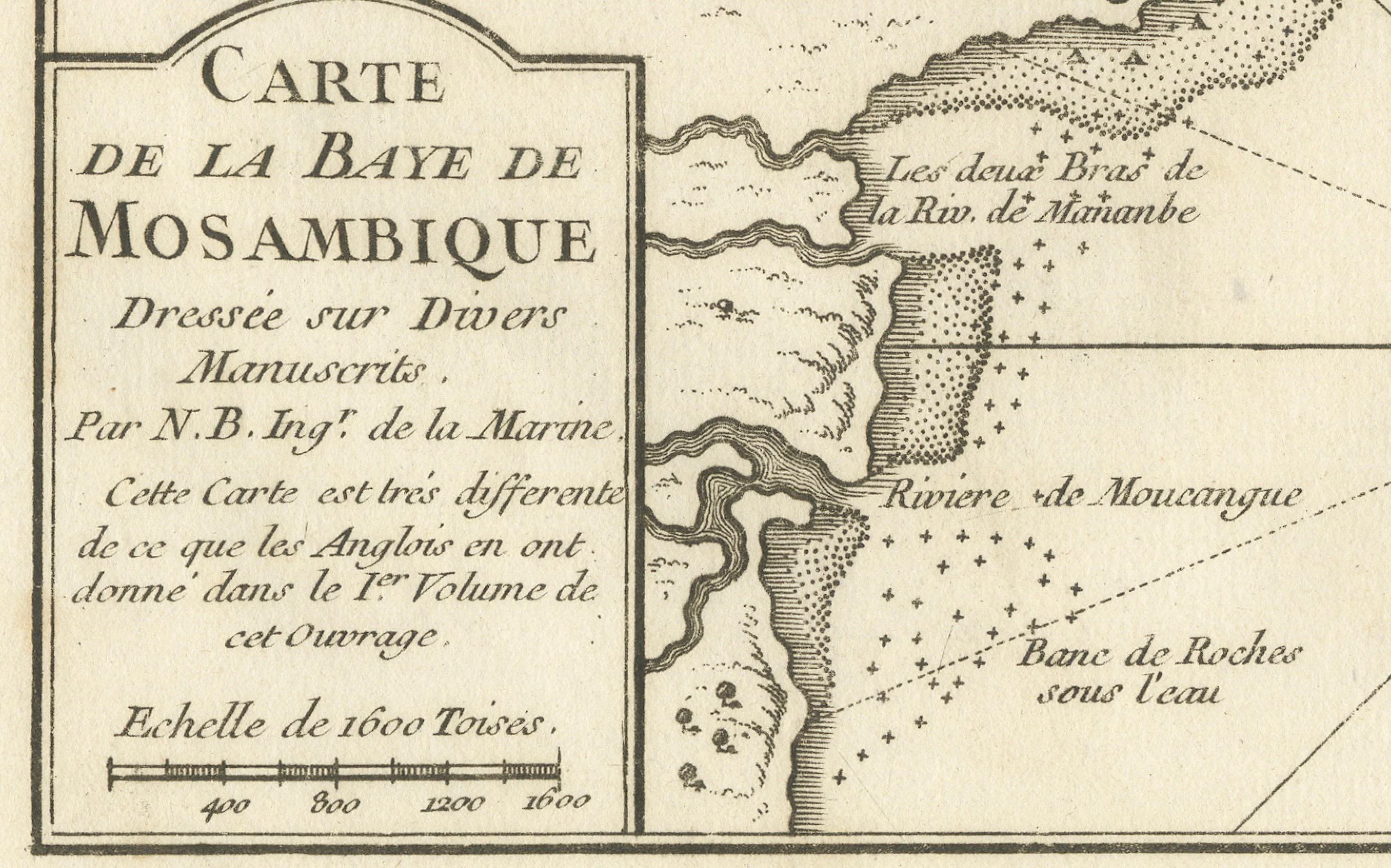
Compiled from multiple manuscript sources, as stated directly in the cartouche (“Dressée sur divers Manuscrits”), the chart reflects the French navy’s effort to refine and correct earlier English and Portuguese mapping of the East African coast. Bellin explicitly notes that this chart differs significantly from English versions previously published, underscoring its role as an authoritative French alternative.
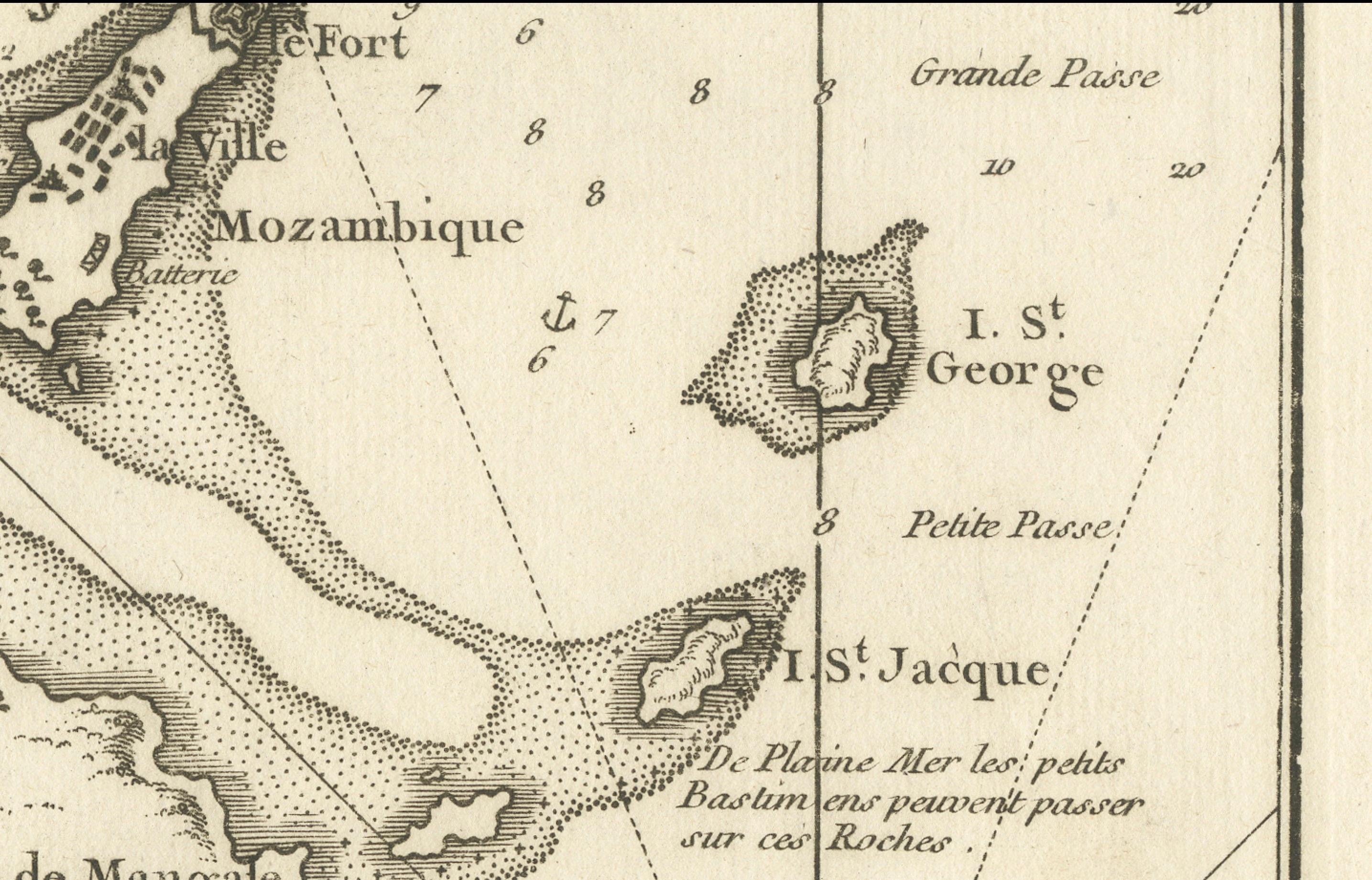
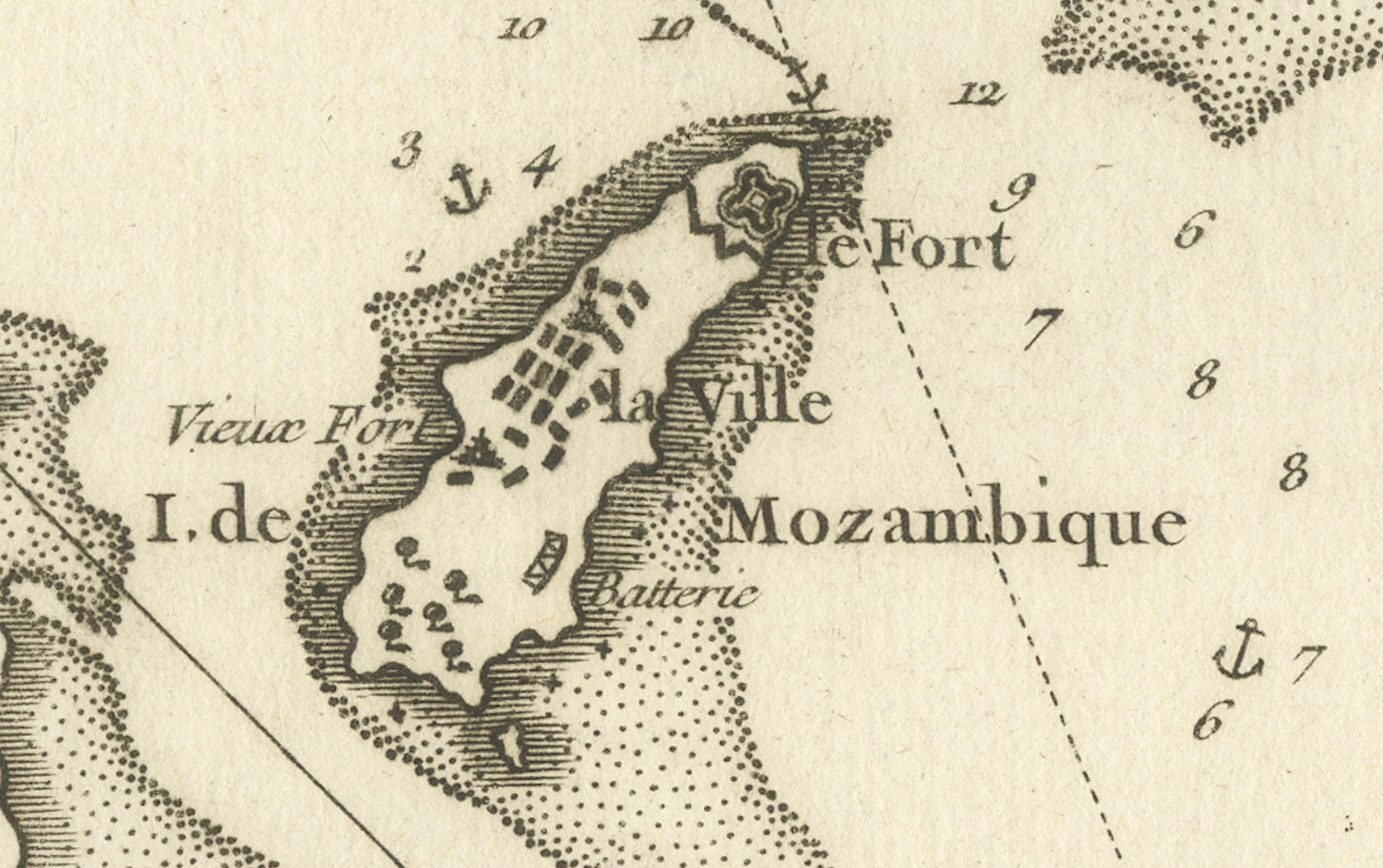
The map focuses on navigational precision. Soundings are carefully plotted throughout the bay, with shoals, reefs, and sandbanks clearly indicated. The fortified island of Mozambique is shown in detail, including the fort, town layout, batteries, and older fortifications. Surrounding islands such as St. George, St. Jacques, and Isle de Luchaque are identified, along with named channels and passes suitable for navigation.
A large compass rose dominates the lower right quadrant, reinforcing the chart’s maritime purpose. Coastal profiles, river mouths, and interior relief are rendered with clarity and restraint, typical of Bellin’s clean and highly legible engraving style. The overall composition balances technical accuracy with visual elegance.
This chart is an important document of 18th-century Indian Ocean navigation and colonial competition. Mozambique was a key hub linking East Africa with Arabia, India, and European trade networks, and Bellin’s charts of the region are increasingly sought after for both their historical relevance and decorative appeal.
Condition report
Good condition overall. Light, even age toning. Minor scattered spots and faint handling marks consistent with period. Plate mark visible. Full margins.
Framing tips
A light warm mat (ivory or pale sand) works well with the soft paper tone and monochrome engraving. A dark wood or black-stained frame enhances the strong graphic contrast of the coastline and compass rose, giving the map a refined, museum-style presentation. Ideal as a stand-alone piece or paired with Indian Ocean island charts.
Technique: Copper engraving
Maker: Jacques-Nicolas Bellin, France, c.1765