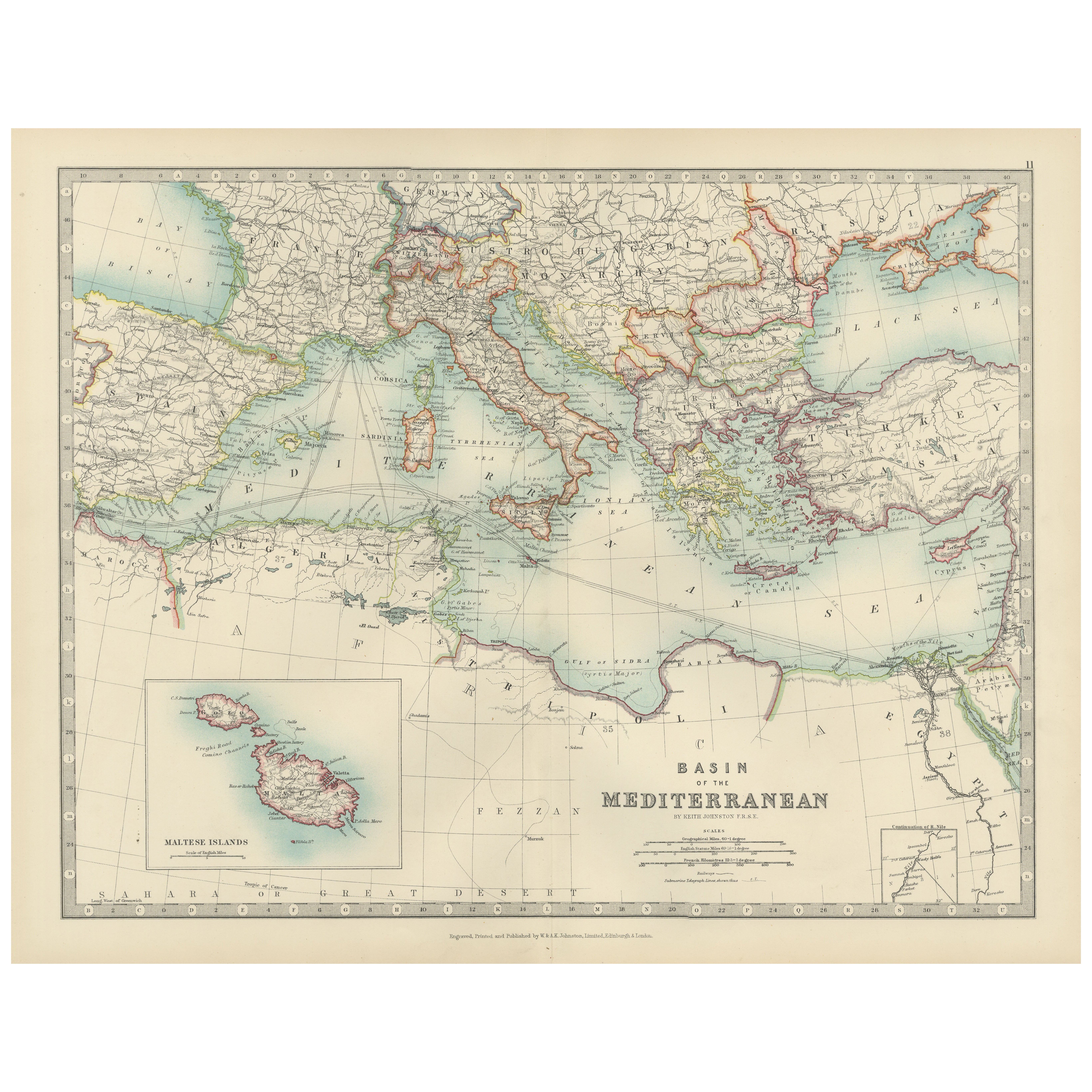
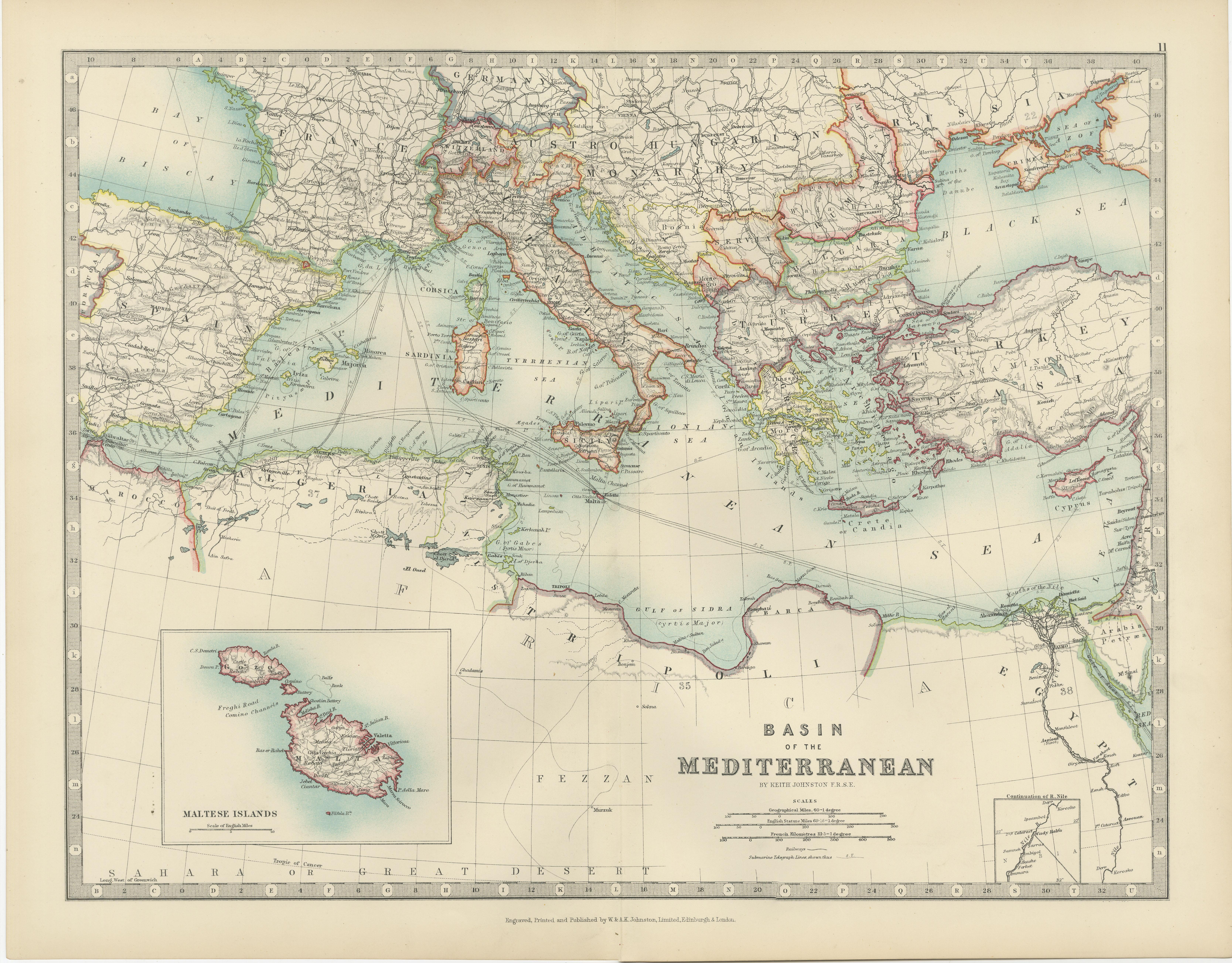
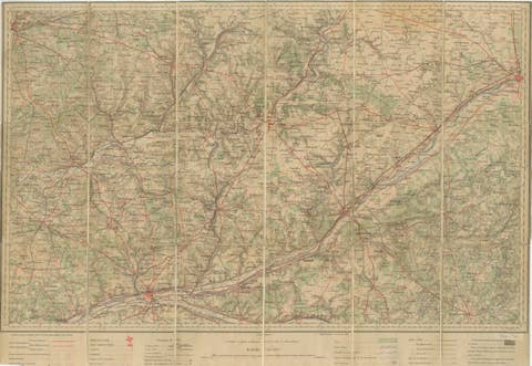
Antique Map of the Mediterranean Basin, 1903, with Detailed Coastal and Inland
€ 310
One of a kind: this is the sheet in the photographs. Ships from Langweer, the Netherlands.
Date
1903
Sheet size
36.8 × 48 cm (14.5 × 18.9 in)
Condition
Good
Reference
BG-13577-11
Condition
The map is in very good antique condition, with minor age-related foxing and slight edge toning typical for its vintage. The colors remain vibrant and the paper is stable and well-preserved. Folding line as issued.
About this sheet
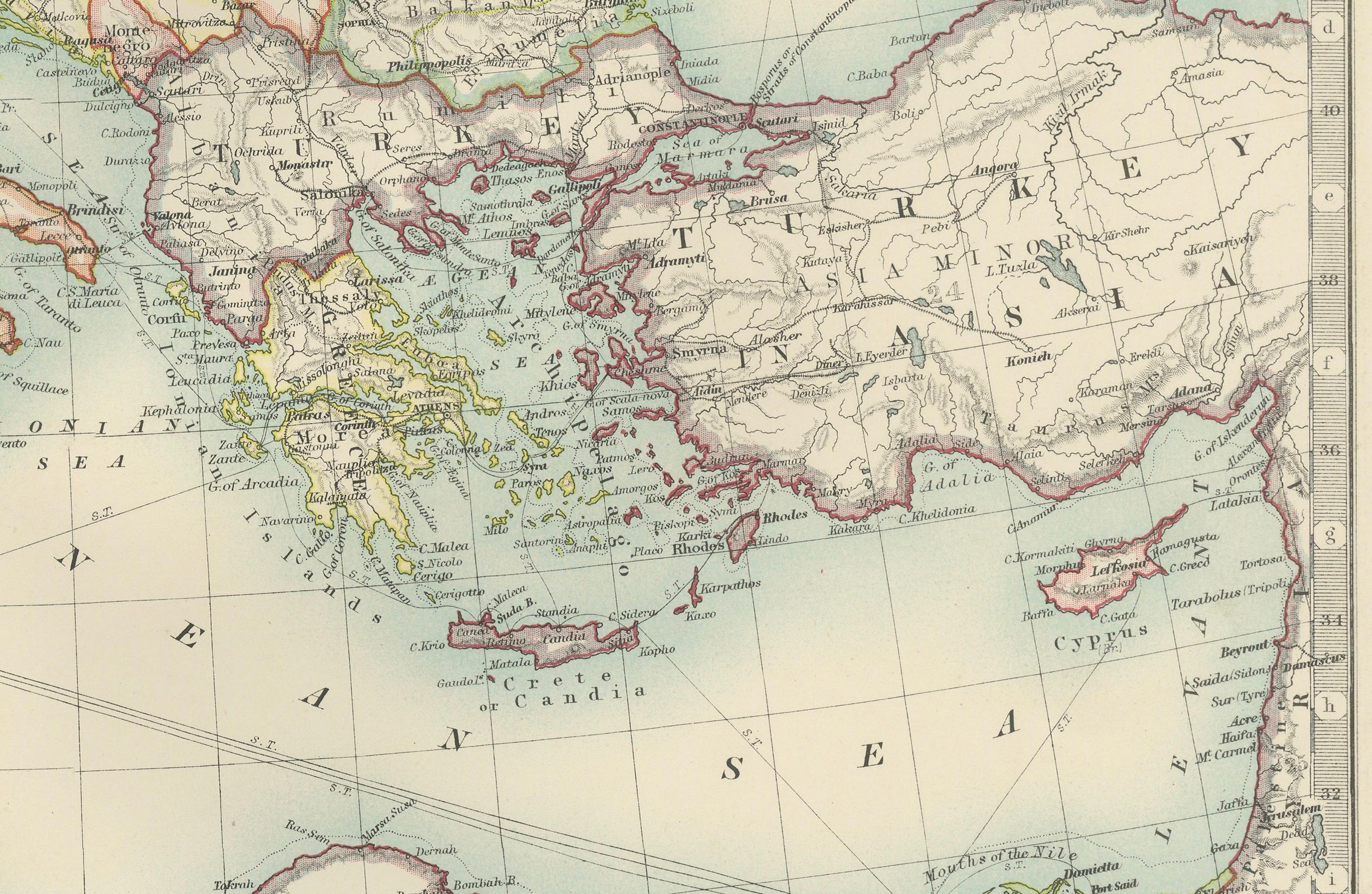
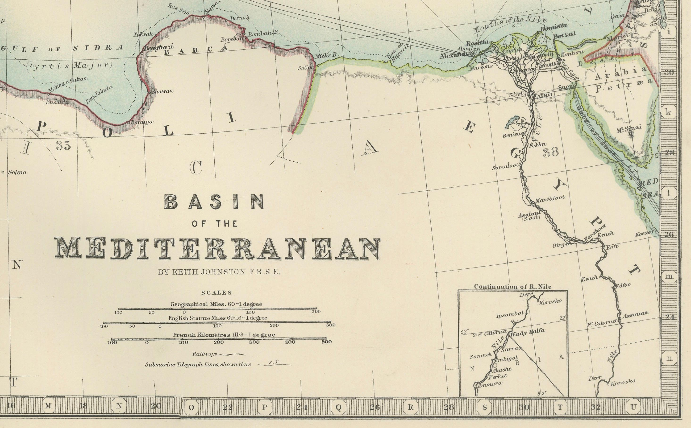
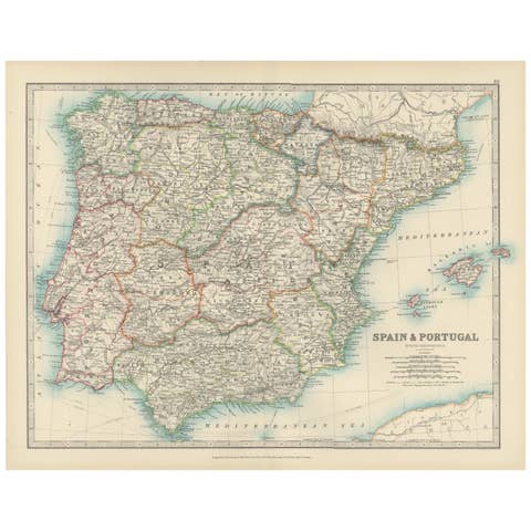
This antique map, titled "Basin of the Mediterranean," was engraved and published in 1903 by the respected W. & A.K. Johnston firm in Edinburgh and London. It provides a detailed and meticulously engraved depiction of the entire Mediterranean region, showcasing the diverse geography, cultures, and historical significance of this vibrant part of the world.
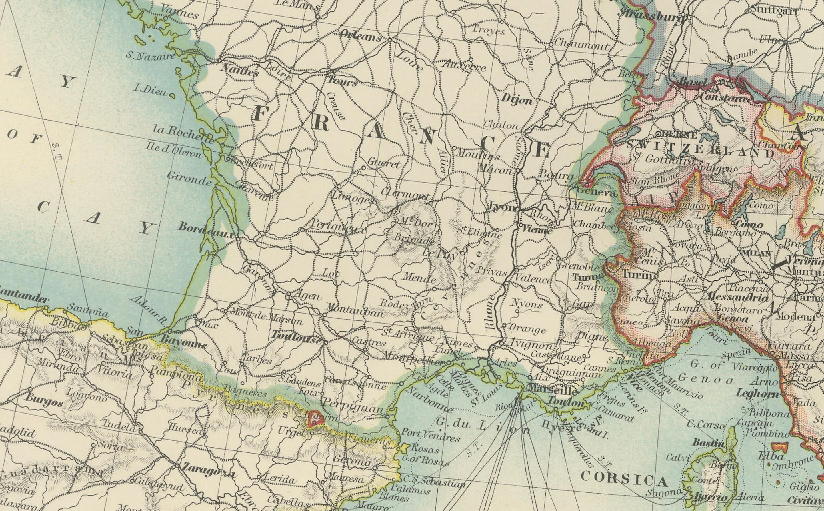
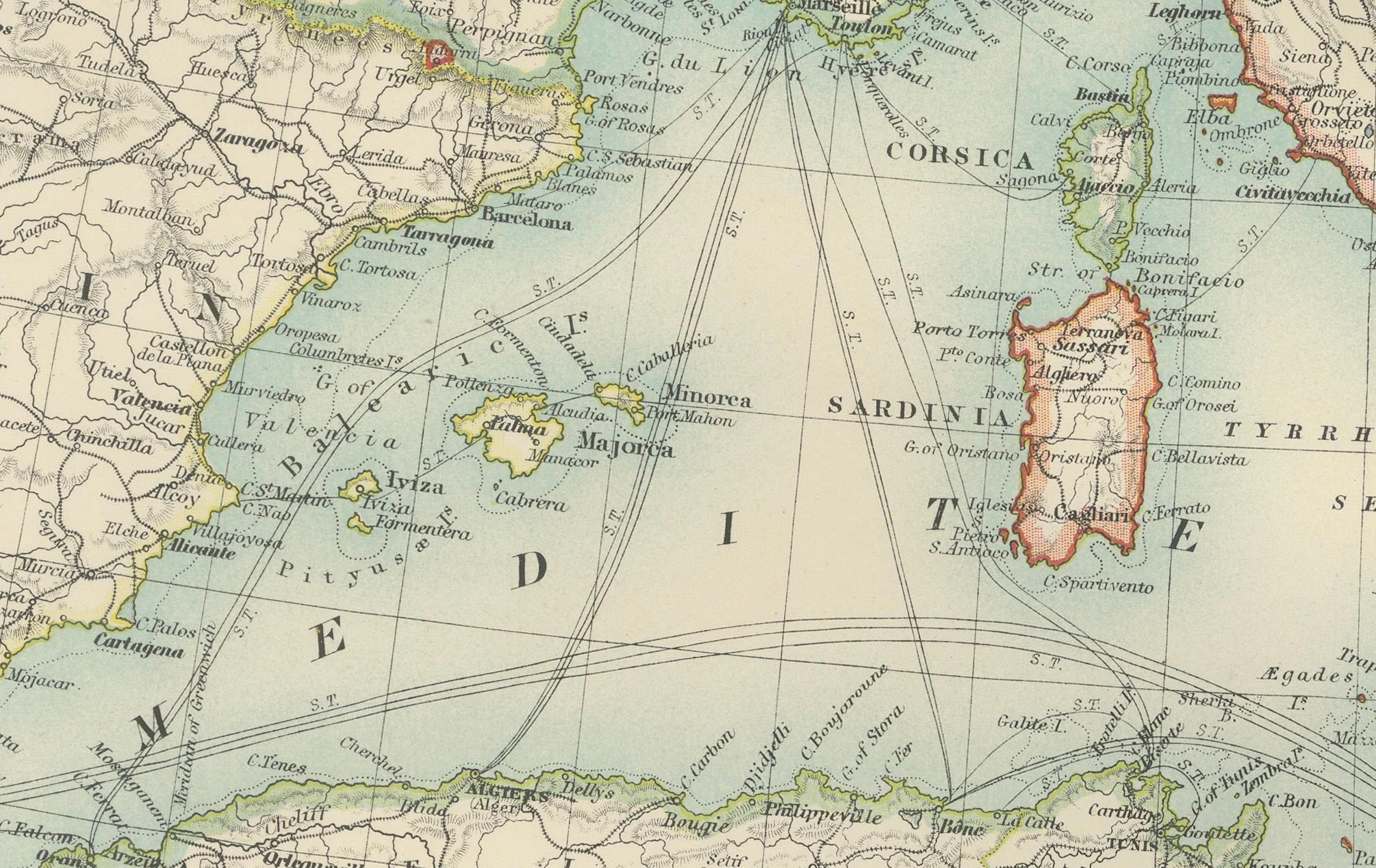
Covering the coasts of Southern Europe, North Africa, and the Middle East, the map features clear political boundaries shaded in soft pastels of pink, green, and yellow, accentuating the distinctive landscapes of each nation. From the sun-drenched shores of Spain and Italy to the ancient lands of Greece, Egypt, and Turkey, this map brings the entire region to life with exceptional cartographic precision.
A notable feature of this map is the detailed inset of the Maltese Islands, capturing their strategic location and historical importance as a maritime crossroads. Major cities, rivers, mountain ranges, and maritime trade routes are all carefully rendered, making this map a fascinating historical record of early 20th-century geography and global commerce.
For collectors, historians, and lovers of Mediterranean culture, this map is a window into a region that has shaped world history for millennia. It captures the natural beauty and enduring cultural significance of the Mediterranean, reflecting the craftsmanship and skill of Johnston’s renowned cartographers.
Condition report: This map is in very good antique condition, with only slight foxing and light toning around the edges typical for its age. The colors remain vibrant and the paper is well-preserved.
Framing tips: A classic wooden frame in walnut or cherry will add warmth and sophistication to this piece. Pair with a cream or off-white matting to enhance the soft pastel colors and highlight the delicate details, creating a refined and timeless focal point in any room.