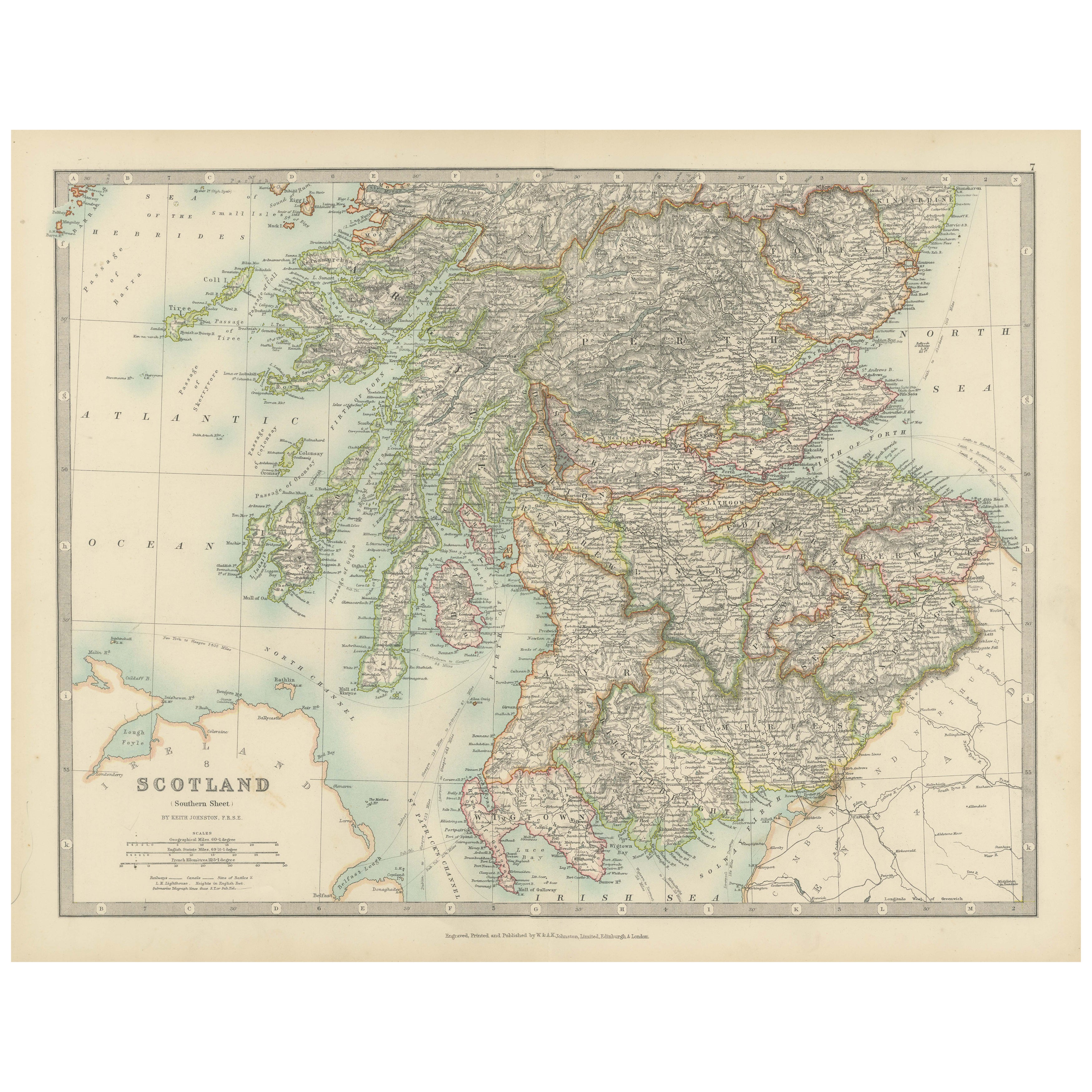
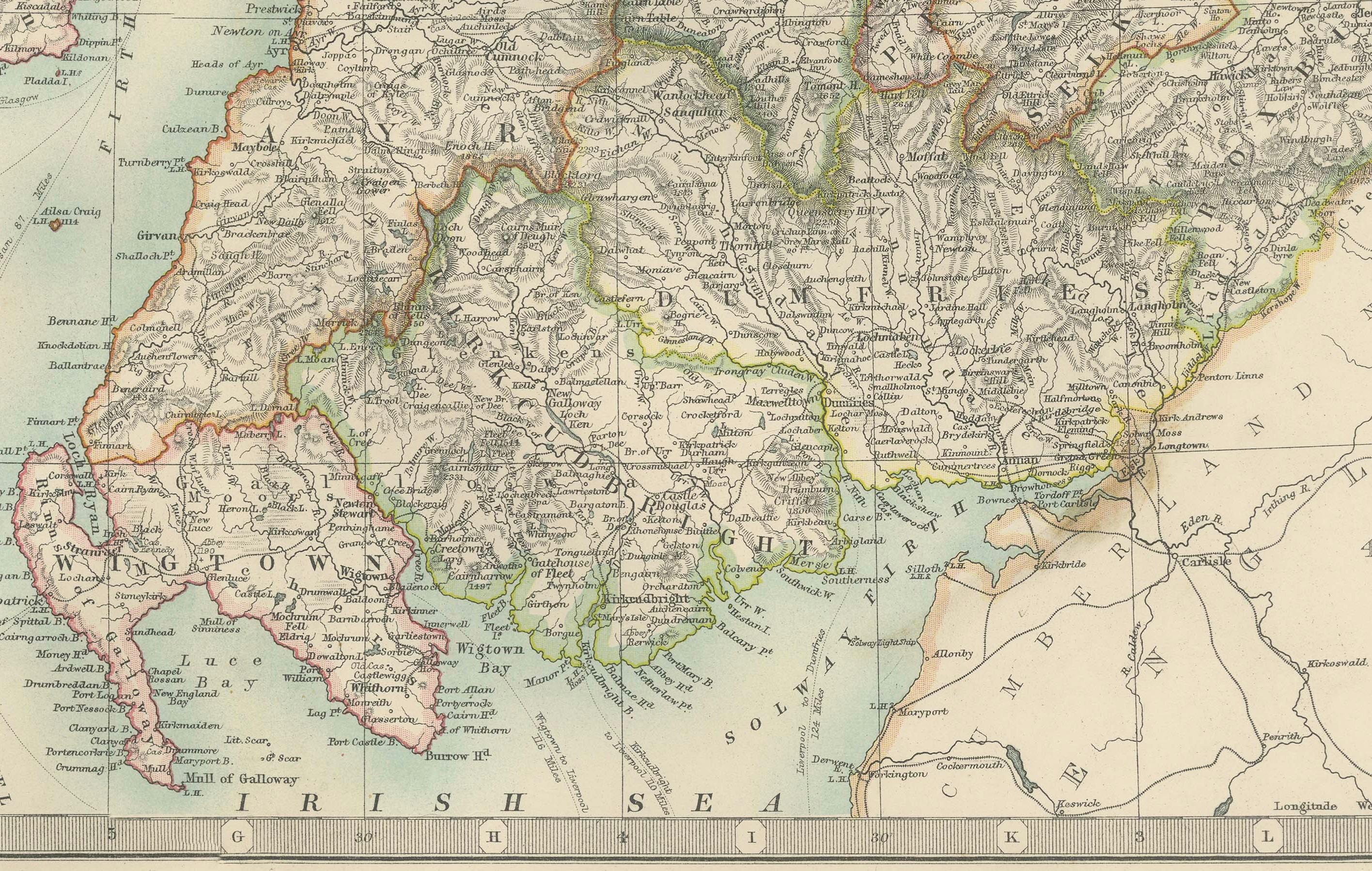
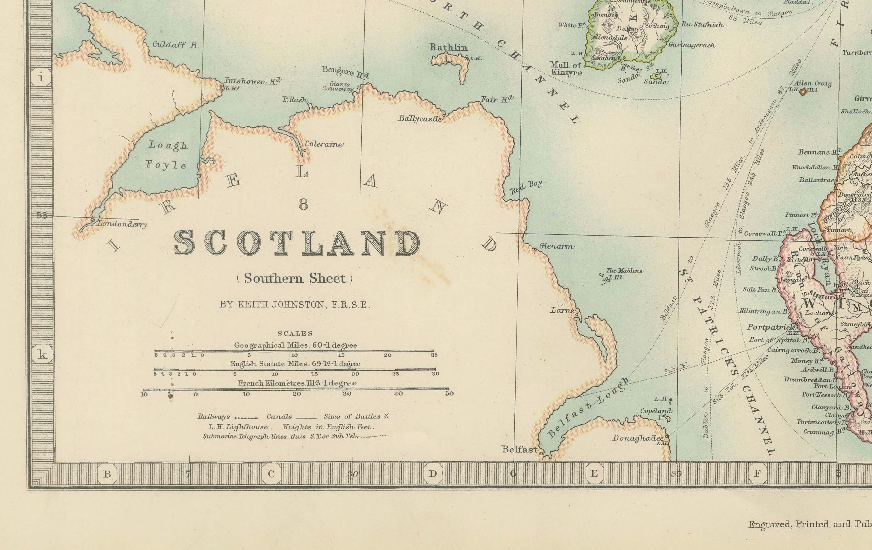
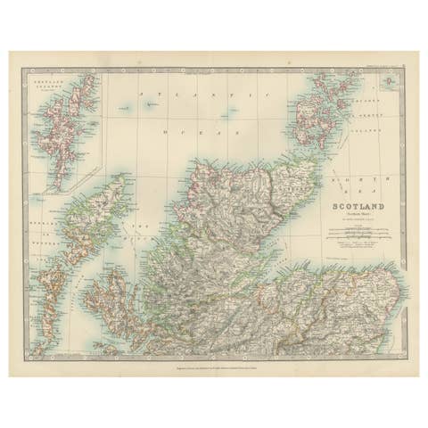
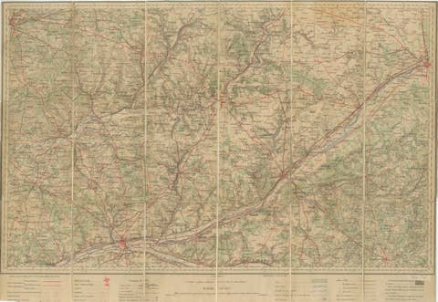
Antique Map of Southern Scotland, 1903, with Coastal and Inland Details
€ 280
One of a kind: this is the sheet in the photographs. Ships from Langweer, the Netherlands.
Date
1903
Sheet size
36.8 × 48 cm (14.5 × 18.9 in)
Condition
Good
Reference
BG-13577-7
Condition
This map is in very good antique condition, showing slight toning and minimal foxing around the edges typical for its age. The color palette remains vibrant and the paper stable and clear. Folding line as issued.
About this sheet
This exquisite antique map, titled "Scotland (Southern Sheet I)," was engraved and published in 1903 by the esteemed W. & A.K. Johnston firm in Edinburgh and London. A testament to early 20th-century cartography, it meticulously documents the southern half of Scotland, including its rugged coastlines and bustling cities.
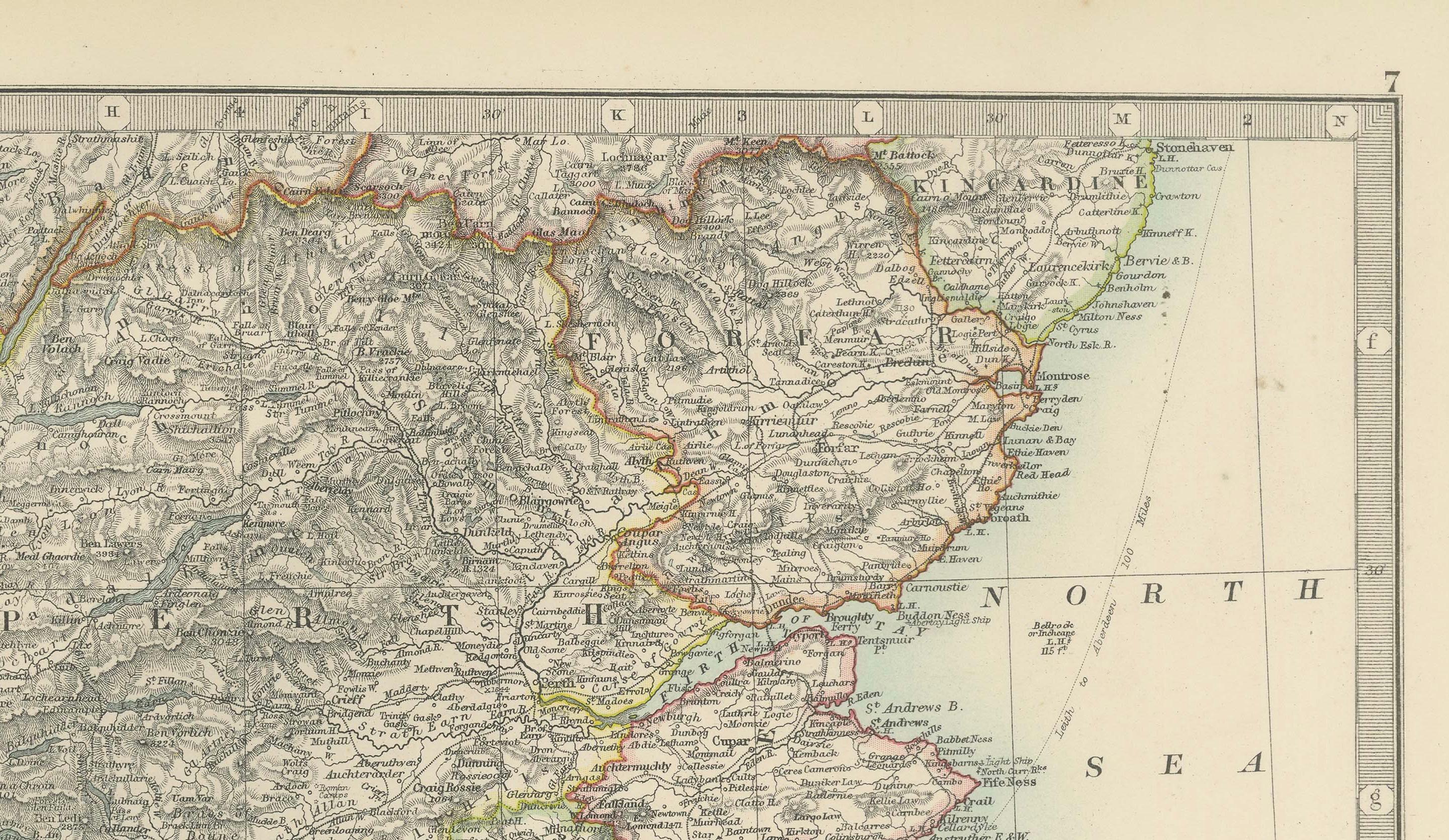
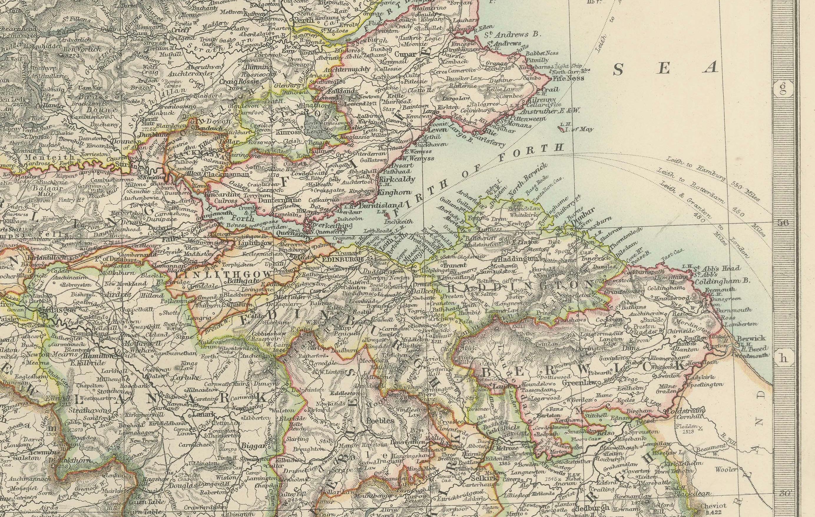
The map’s elegant pastel coloring in soft greens, pinks, and yellows delineates county boundaries and enhances the intricate topographical features, from mountain ranges and lochs to rivers and valleys. Major cities such as Edinburgh and Glasgow are clearly marked, along with smaller towns, railway lines, and maritime routes that showcase the region’s vibrant economy during the industrial era.
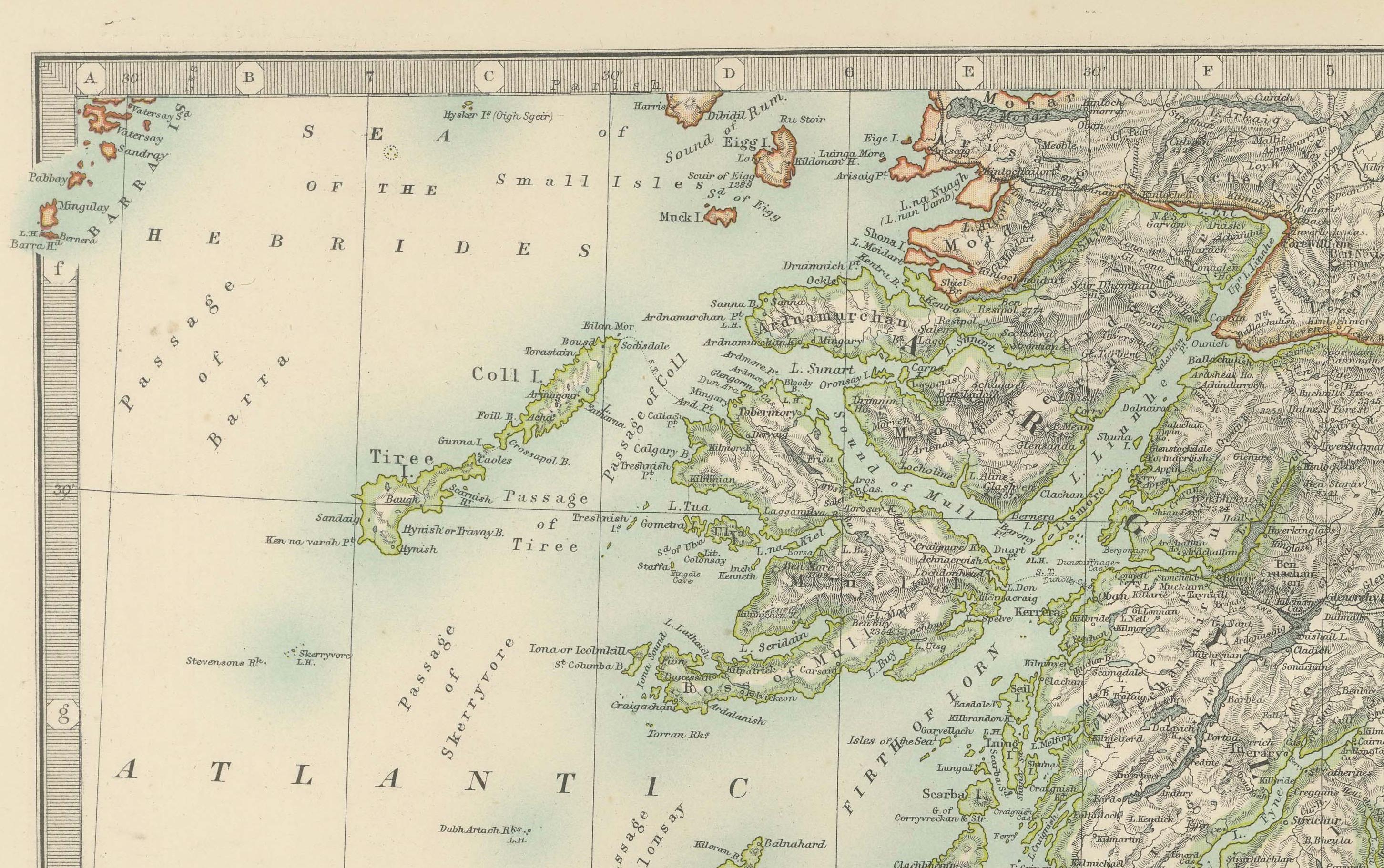
One of the highlights is the beautifully depicted Hebrides, nestled off the western coast in the Atlantic Ocean. The map’s clarity and precision extend to the smallest islands, reflecting the meticulous craftsmanship of Johnston’s engravers and their dedication to accuracy.
For collectors, historians, and enthusiasts of Scottish heritage, this map provides a window into the past, illustrating a landscape shaped by centuries of cultural and economic evolution. It also highlights the natural beauty of the Highlands and Lowlands, capturing the distinct character of Scotland’s south with an artistry that resonates even today.
Condition report: This map is in very good antique condition, showing slight toning and minimal foxing around the edges typical for its age. The color palette remains vibrant and the paper stable and clear.
Framing tips: A classic dark wood frame in walnut or mahogany will enhance the warm pastel tones and intricate detail of this map. A light cream or ivory matting will further highlight the delicate coloring and provide an elegant presentation, making this piece a refined focal point for any home or office space.