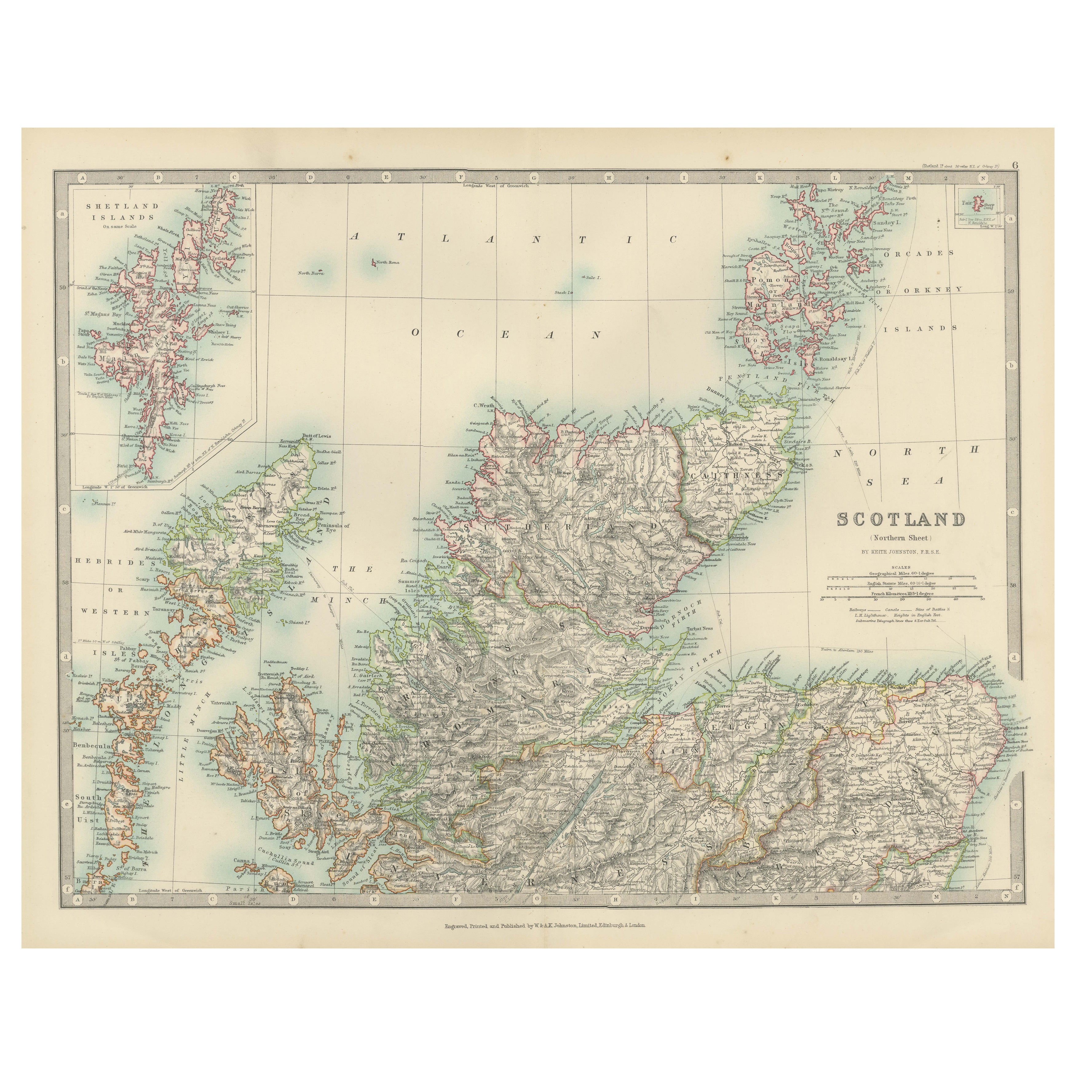
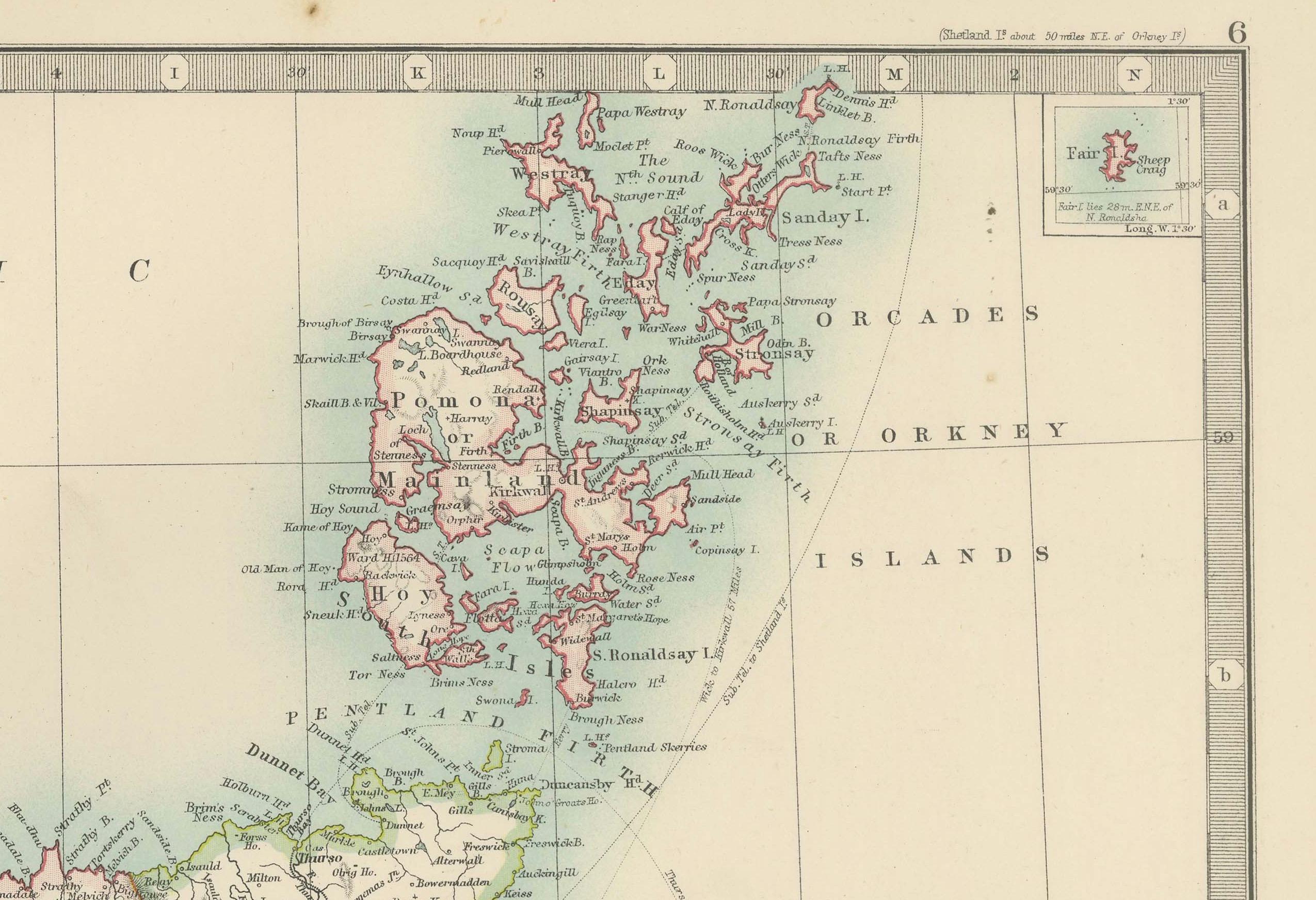
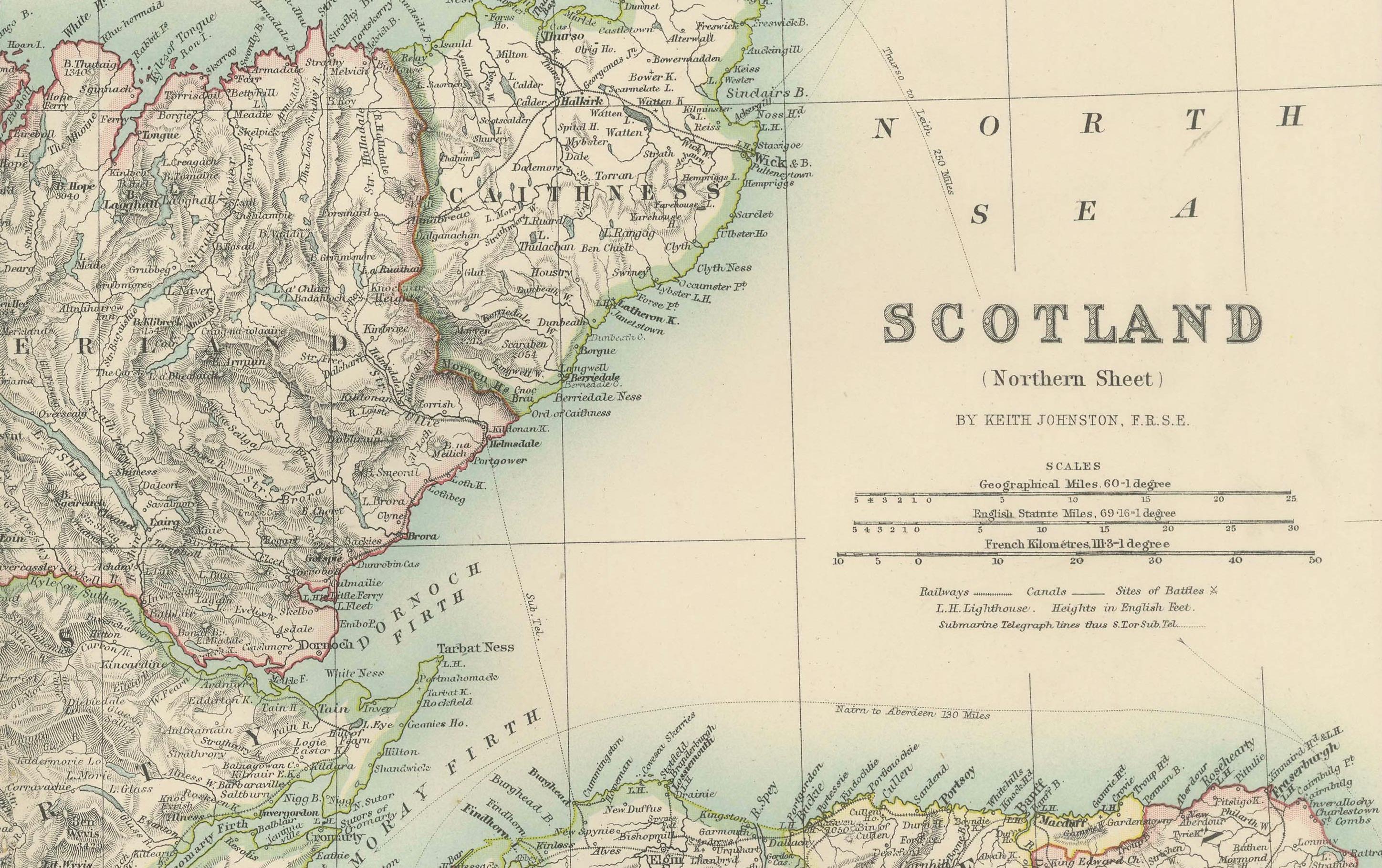
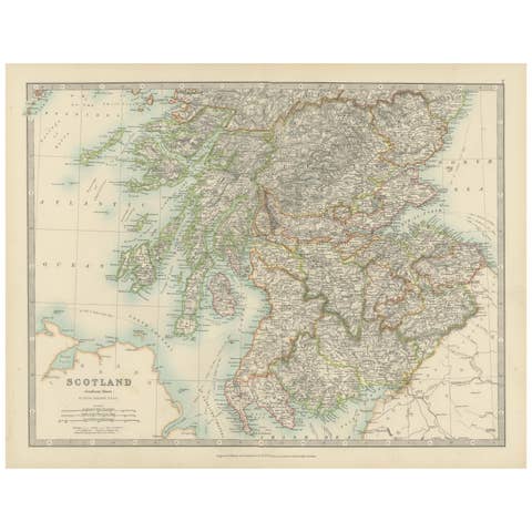
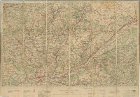
Antique Map of Northern Scotland, 1903, with Intricate Coastal Features
€ 280
One of a kind: this is the sheet in the photographs. Ships from Langweer, the Netherlands.
Date
1903
Sheet size
36.8 × 48 cm (14.5 × 18.9 in)
Condition
Good
Reference
BG-13577-6
Condition
The map is in very good antique condition, showing slight toning and minor foxing around the edges, typical for its age. Colors remain vibrant and paper is well-preserved. Folding line as issued.
About this sheet
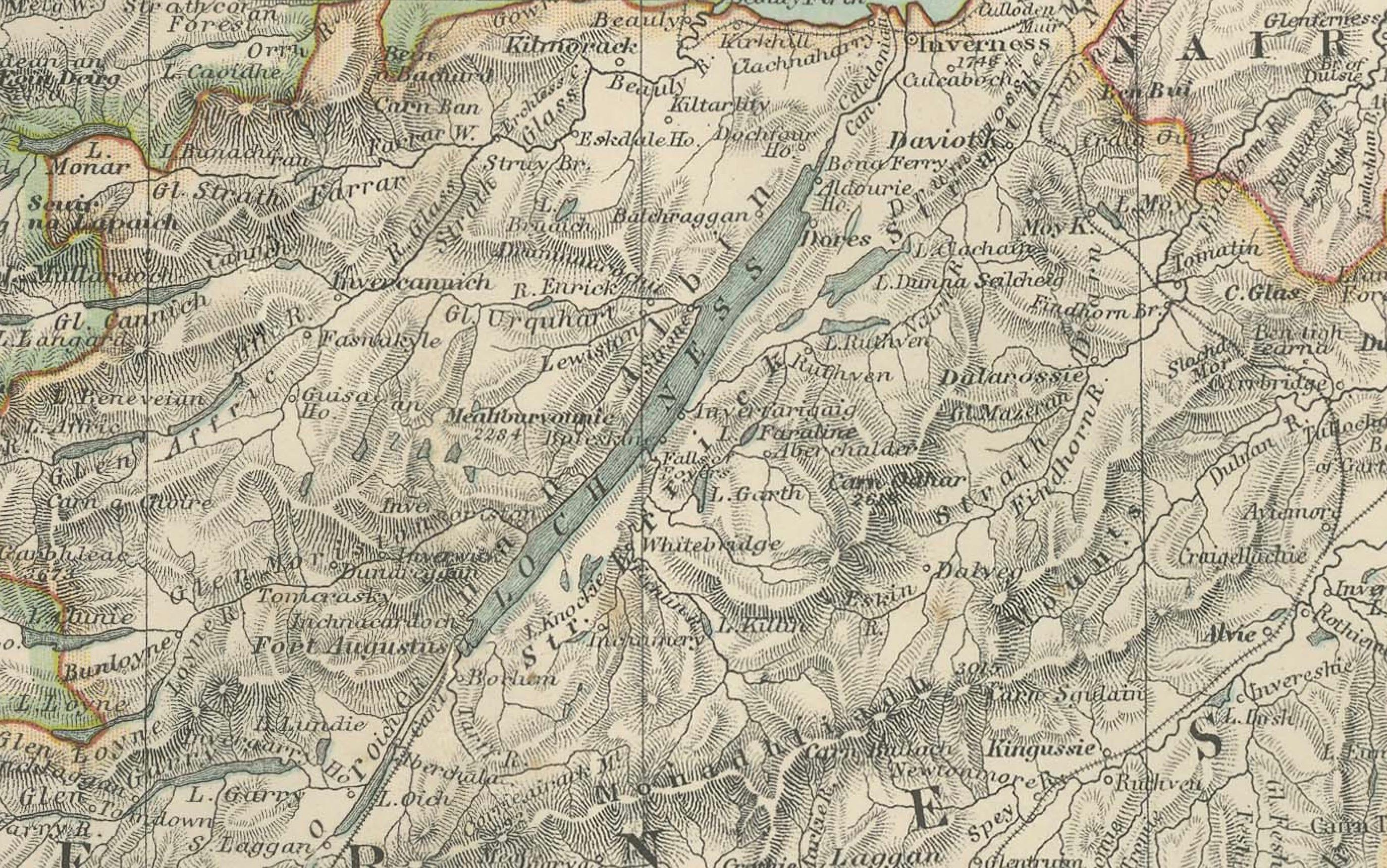
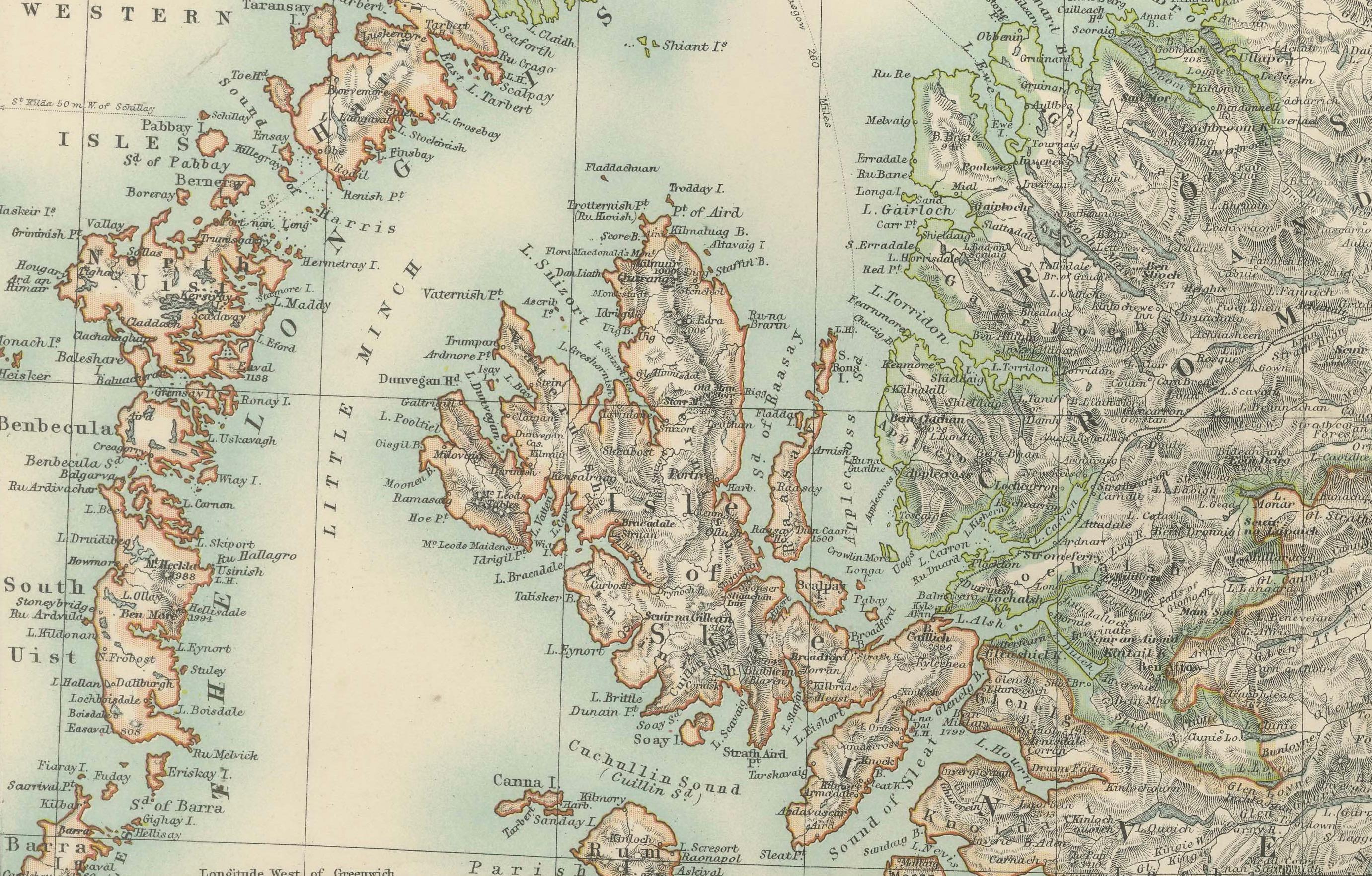
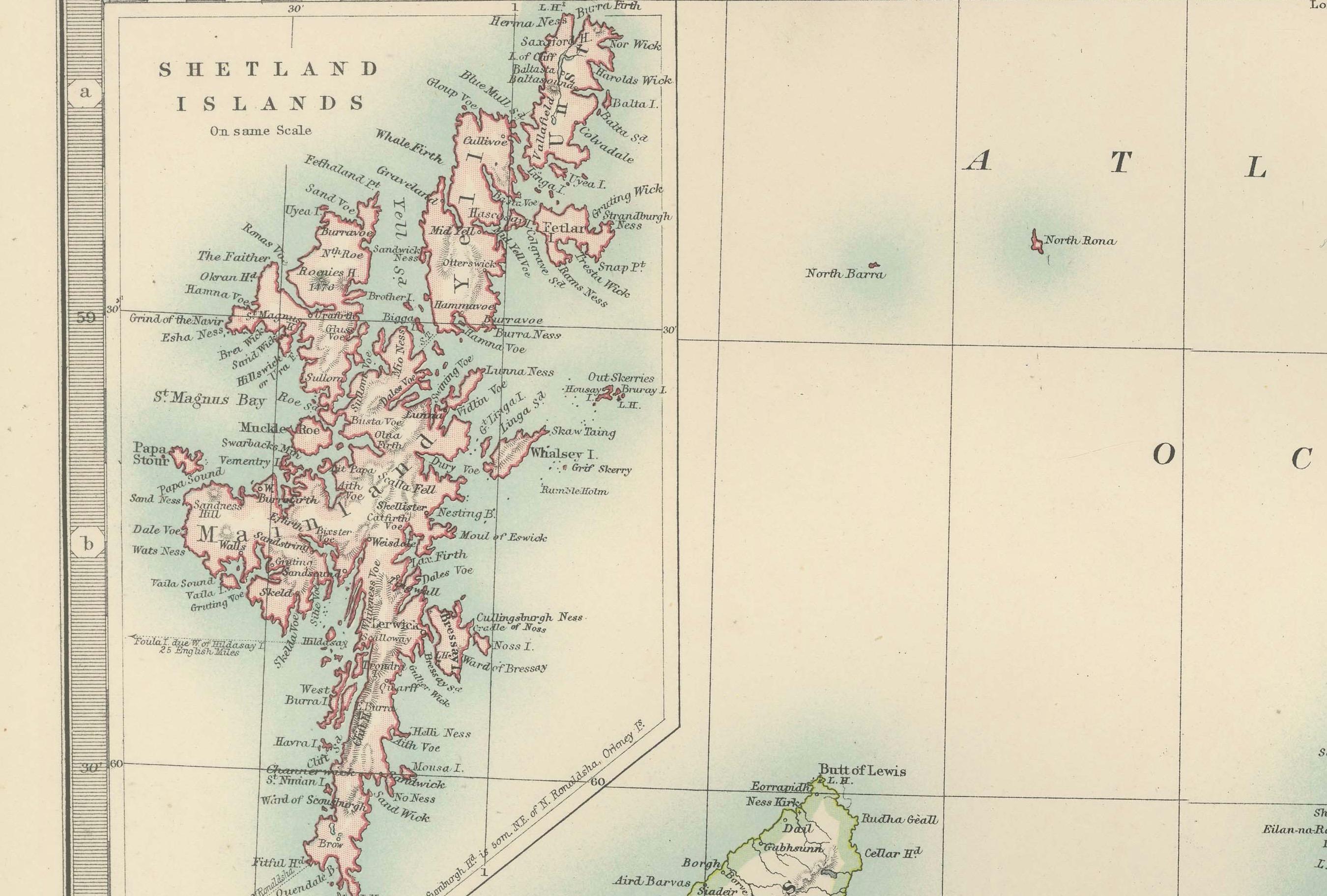
This striking antique map, titled "Scotland (Northern Sheet I)," was engraved and published in 1903 by the renowned cartographers W. & A.K. Johnston in Edinburgh and London. It offers an exceptional and meticulously detailed view of northern Scotland and its many islands, including the Orkney and Shetland archipelagos and the rugged Hebrides.
The map is beautifully engraved and colored in soft pastel shades of pink, green, and yellow to demarcate counties and natural features. Its precision showcases the intricate geography of this stunningly scenic region, with its complex coastlines, dramatic highlands, and offshore islands. The inset of the Shetland Islands and close-up depiction of the Hebrides highlight their remote and maritime importance, offering valuable insight into a time when these islands were integral to Britain’s fishing, trade, and cultural identity.
For collectors and lovers of historical geography, this map represents the artistry and scientific rigor of the early 20th century’s cartographic tradition. It provides a fascinating look at the natural and political landscape of Scotland during a period of modernization, when railways and steamships were beginning to connect these once isolated areas to the rest of the British Isles.
Its finely engraved typography and delicate color palette make this map not just a historical record, but also a work of art suitable for any sophisticated interior. From the rich cultural history of the highlands to the strategic maritime routes of the islands, this map captures the timeless allure of Scotland’s northern reaches.
Condition report: The map is in very good antique condition, showing slight toning and minor foxing around the edges, typical for its age. Colors remain vibrant and paper is well-preserved. Folding line as issued.
Framing tips: A dark wood frame such as mahogany or walnut enhances the map’s rich character. Use a cream or light tan matting to highlight the soft pastel colors and intricate detailing, making this map a sophisticated focal point in any home or office.