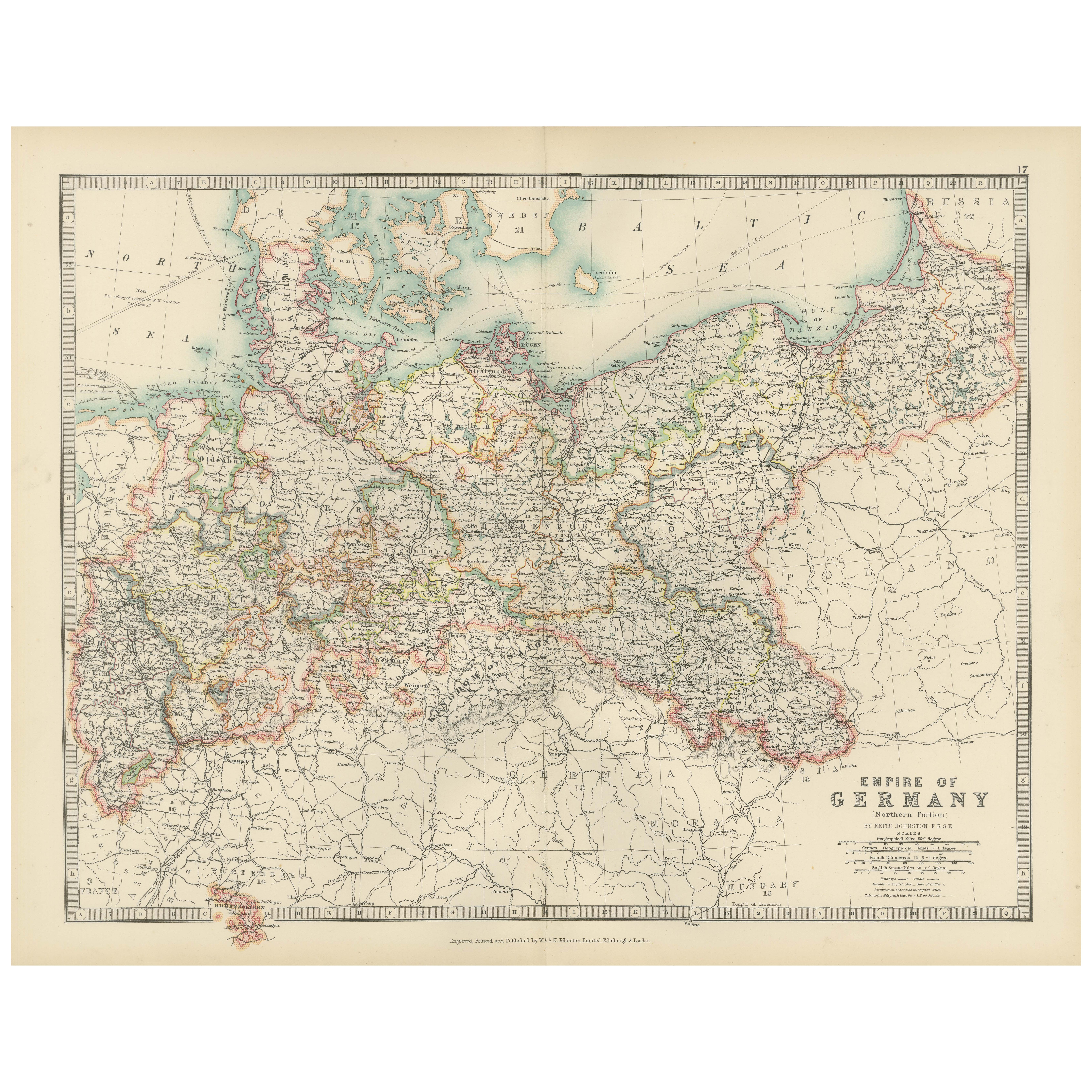
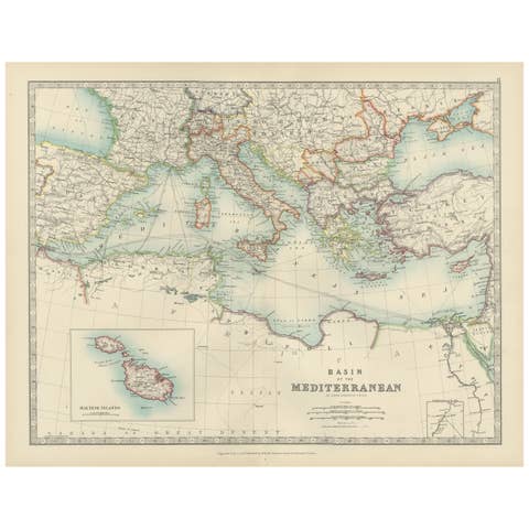
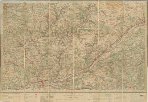
Antique Map of the German Empire, 1903, Northern Portion with Coastal and Inland
€ 230
One of a kind: this is the sheet in the photographs. Ships from Langweer, the Netherlands.
Date
1903
Sheet size
36.8 × 47 cm (14.5 × 18.5 in)
Condition
Good
Reference
BG-13577-17
Condition
This map is in very good antique condition, showing only slight toning and minor foxing typical for its age. The colors remain vibrant and the paper stable and clear. Two folding lines as issued.
About this sheet
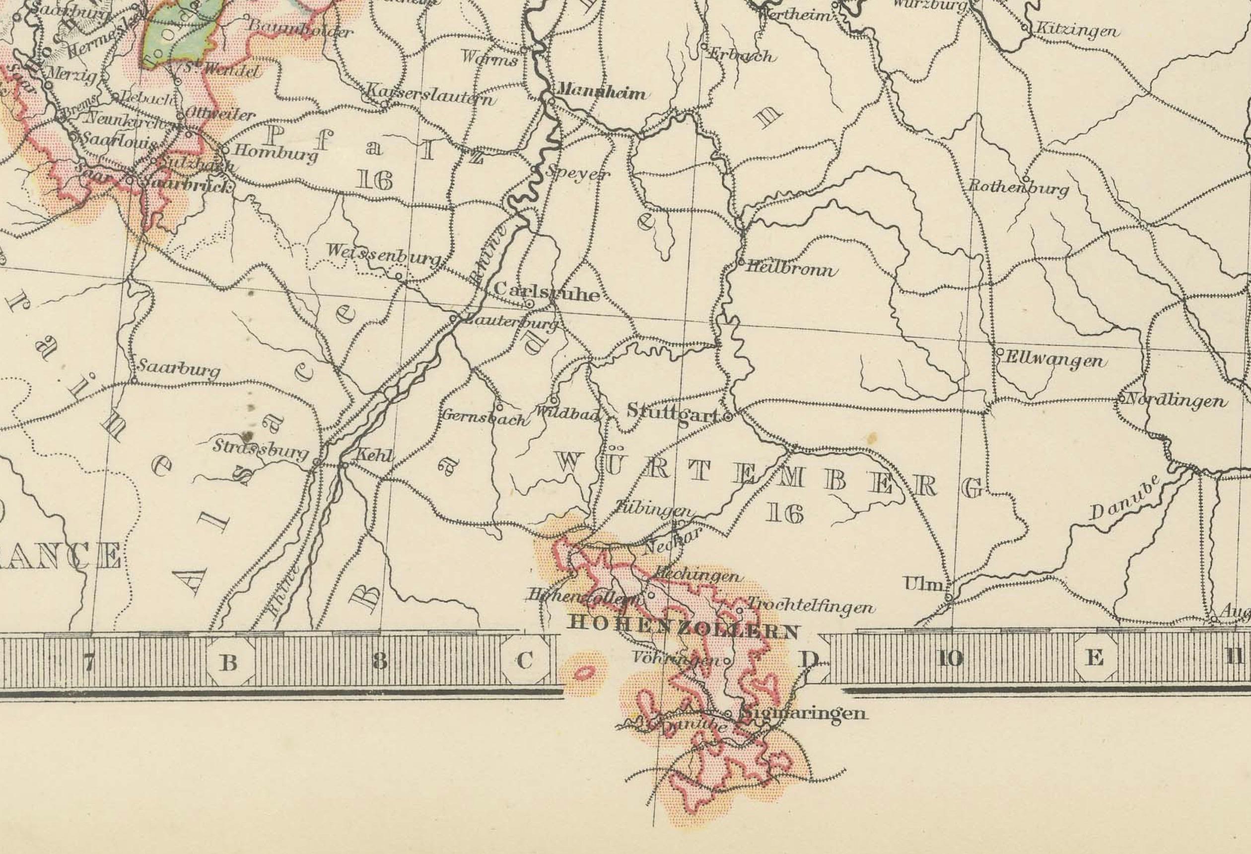
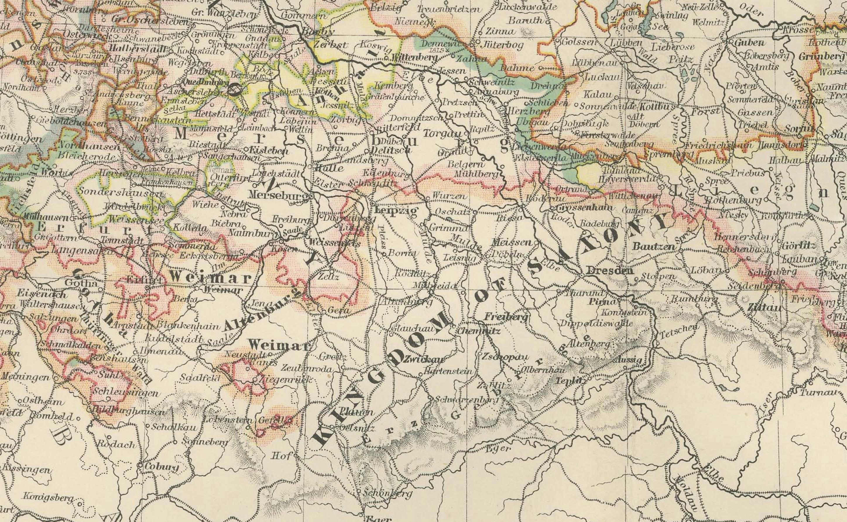
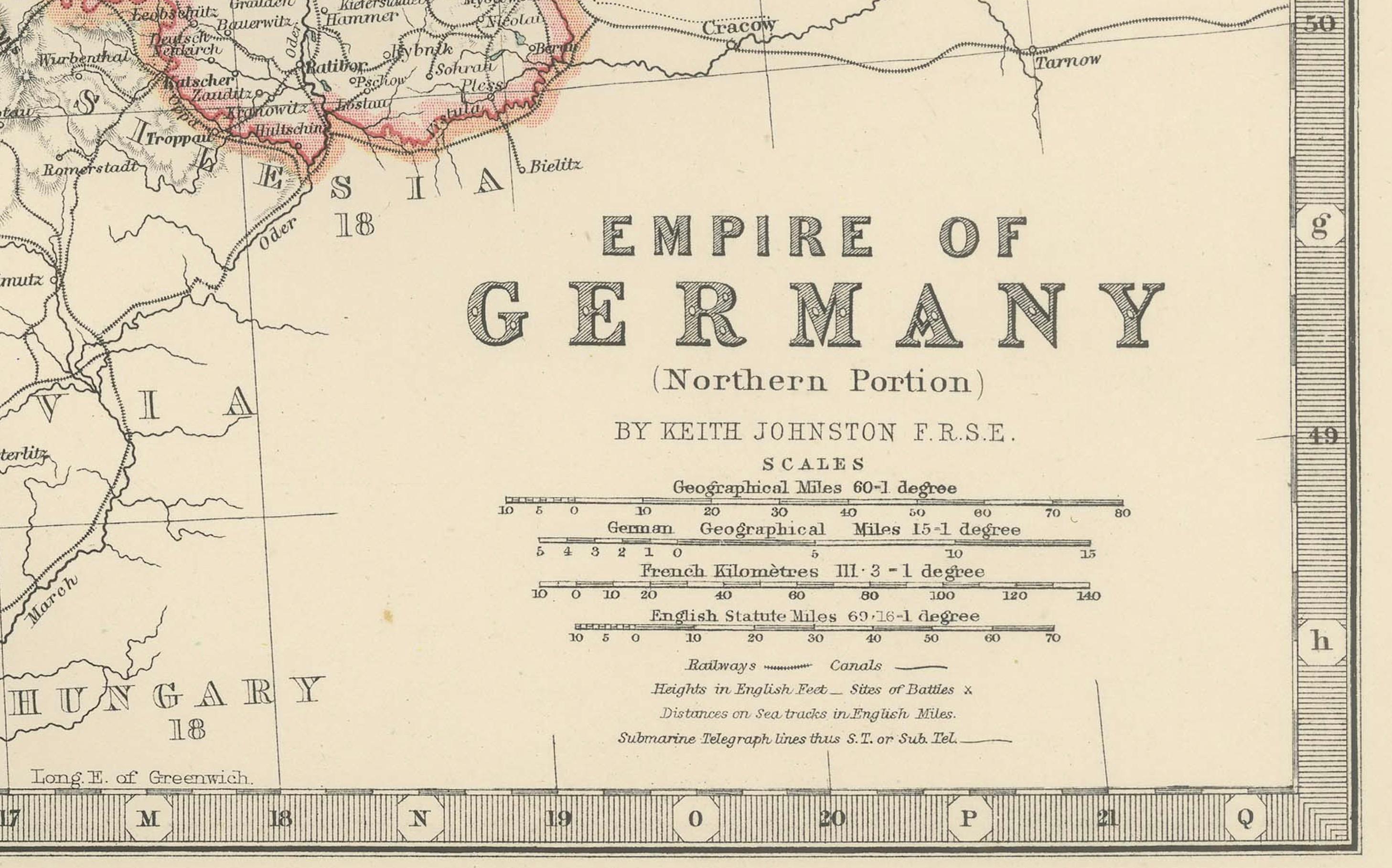
This antique map, titled "Empire of Germany (Northern Portion)," was engraved and published in 1903 by the respected W. & A.K. Johnston in Edinburgh and London. It offers a richly detailed and colored portrayal of the northern part of the German Empire at the dawn of the 20th century, capturing the historical geography and political divisions of this powerful and complex nation.
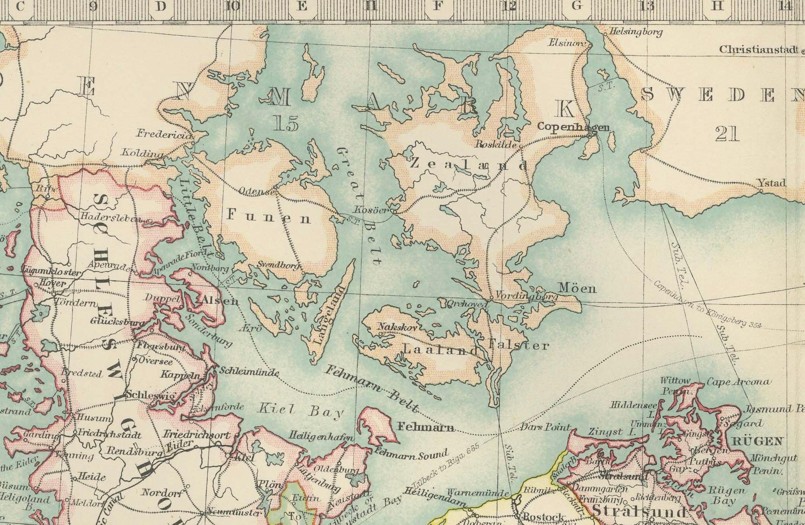
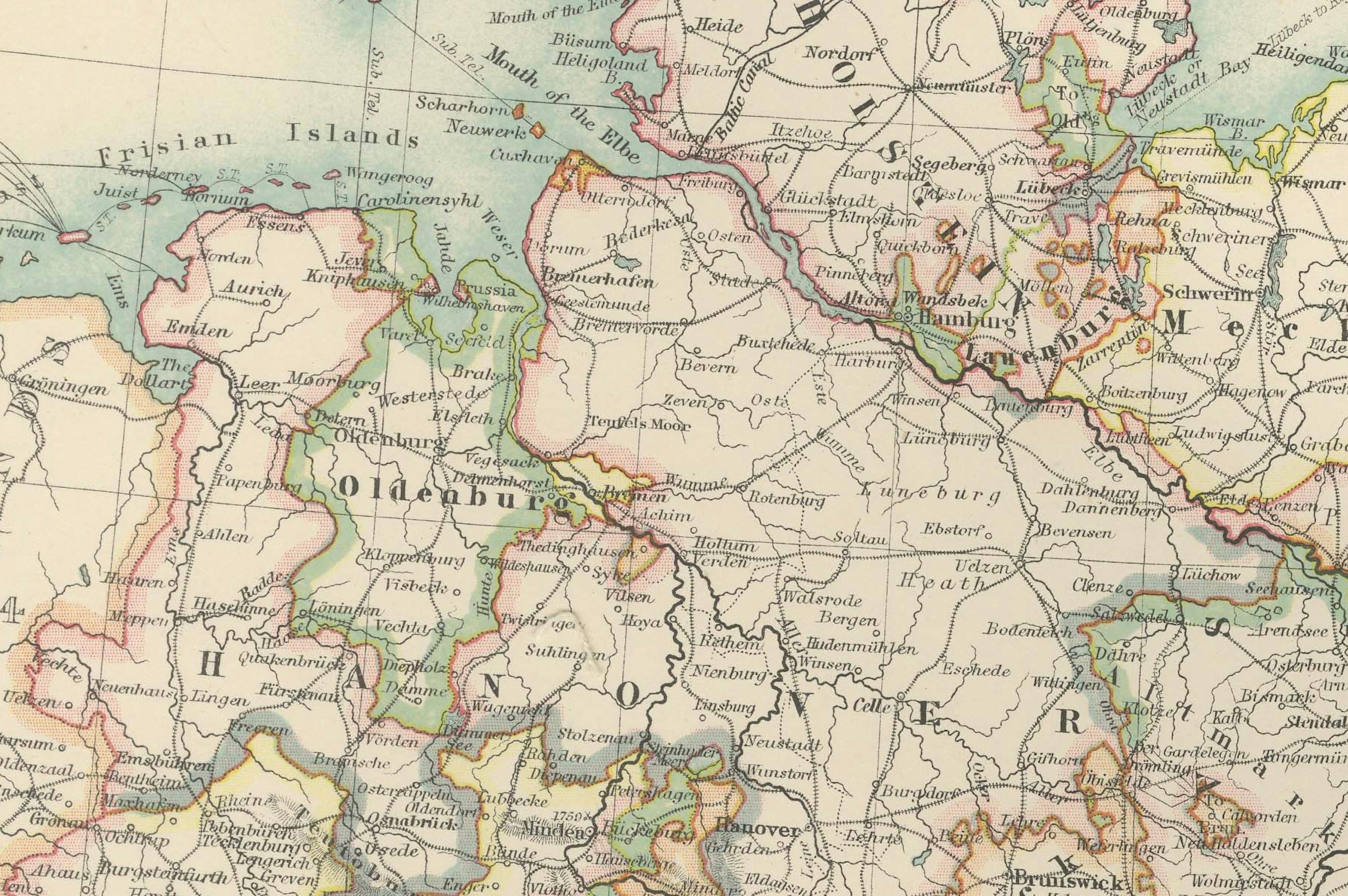
Hand-colored in soft pastel shades of pink, green, yellow, and blue, this map elegantly delineates provincial and administrative boundaries. From the bustling port cities along the North Sea and Baltic Sea to the inland heartlands of Prussia and Saxony, the map reveals the extensive railways, rivers, and road networks that defined the region’s industrial might and cultural vibrancy.
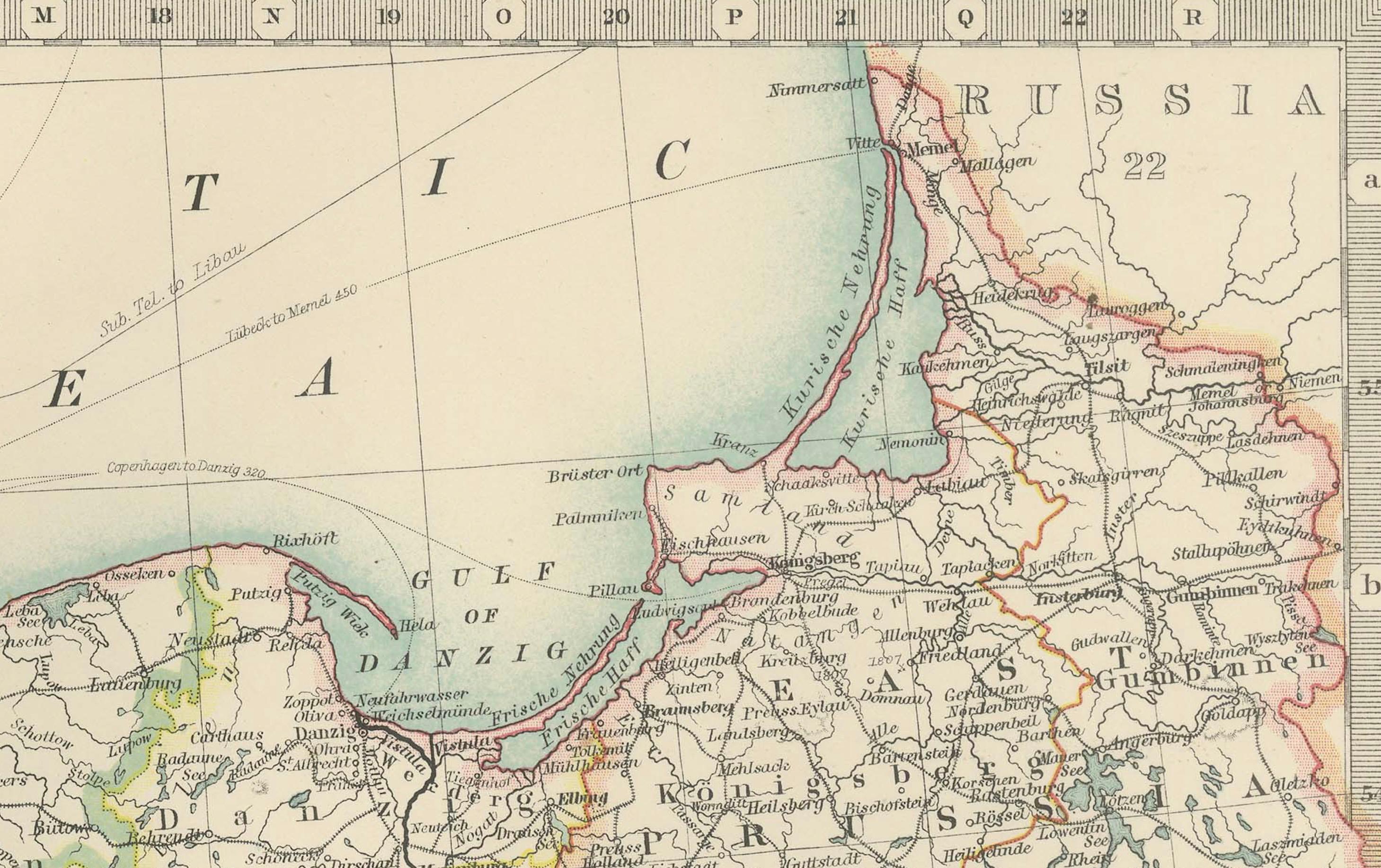
The map also highlights Germany’s coastal regions, including the Frisian Islands, Pomerania, and East Prussia, emphasizing the maritime and economic importance of these areas. Johnston’s precise linework and careful typography make this map not just a historical document but a work of art that reflects the meticulous skill and dedication of the era’s finest cartographers.
For collectors, historians, and those with an interest in German history and geography, this map is a captivating window into a time of growth and ambition within the German Empire. It captures the dynamic landscape of a region that would soon see tremendous changes in the early 20th century.
Condition report: This map is in very good antique condition, with slight foxing and toning around the edges consistent with its age. The colors remain vibrant and the paper is well-preserved.
Framing tips: A classic dark wooden frame, such as walnut or mahogany, will complement the map’s warm pastel tones. Use a cream or light tan matting to highlight the delicate coloring and detailed engraving, creating an elegant and timeless display for any home, study, or office.