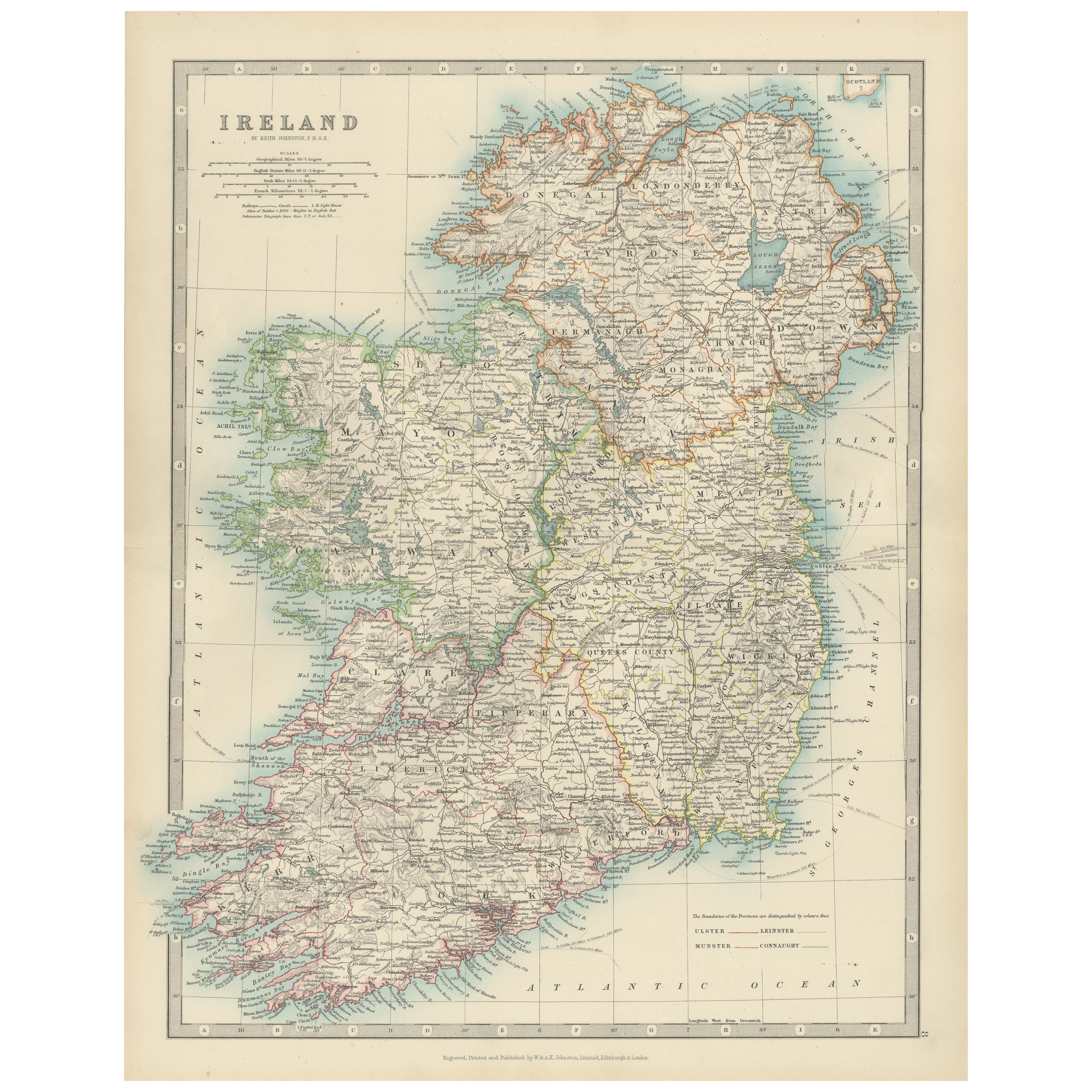
Antique Map of Ireland, 1903, with Intricate County Boundaries & Coastal Details
€ 330
One of a kind: this is the sheet in the photographs. Ships from Langweer, the Netherlands.
Date
1903
Sheet size
36.8 × 48 cm (14.5 × 18.9 in)
Condition
Good
Reference
BG-13577-8
Condition
The map is in very good antique condition, with minor age-related foxing and slight edge toning typical for its vintage. The colors remain vibrant and the paper is stable and well-preserved. Folding line as issued.
About this sheet
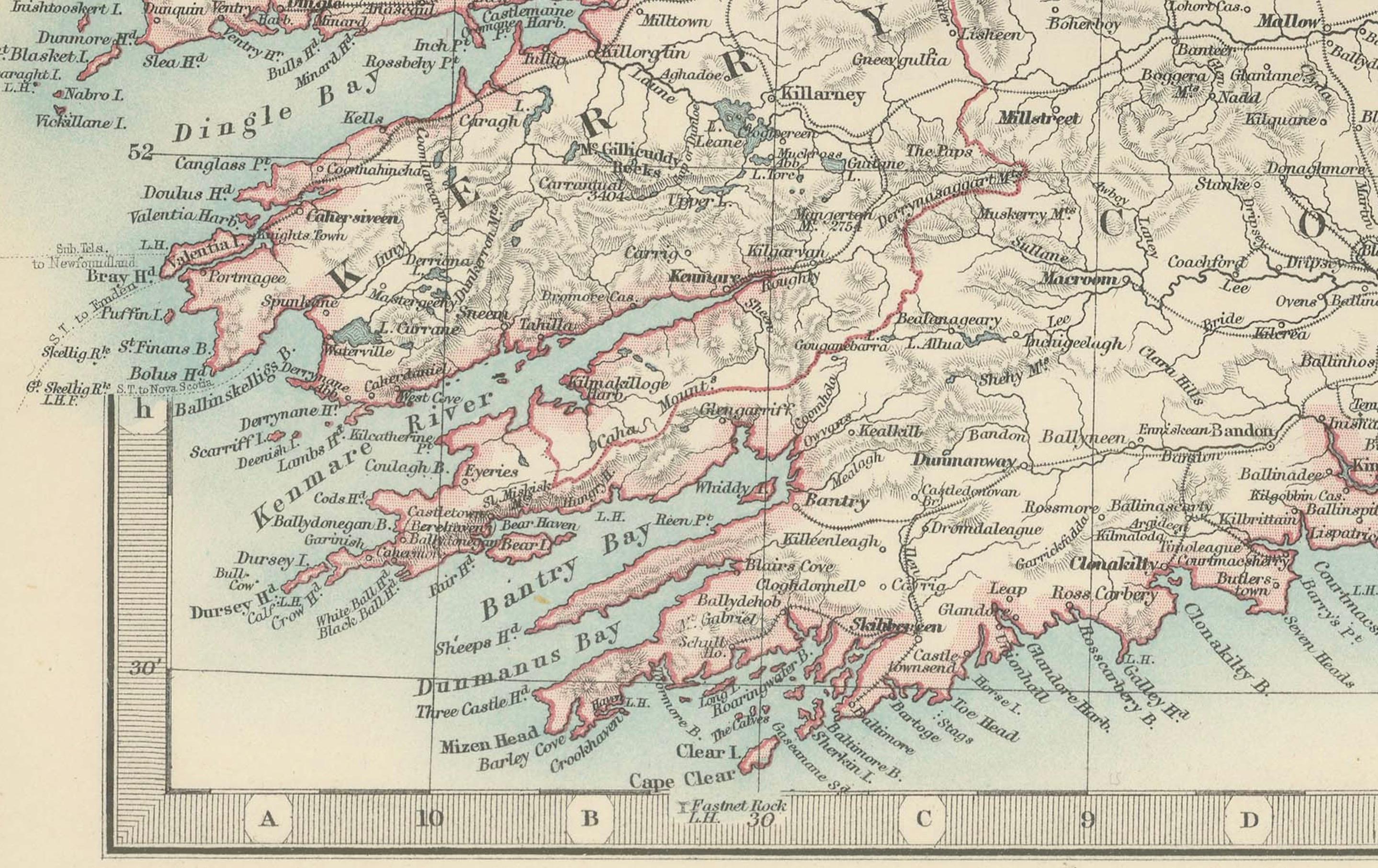
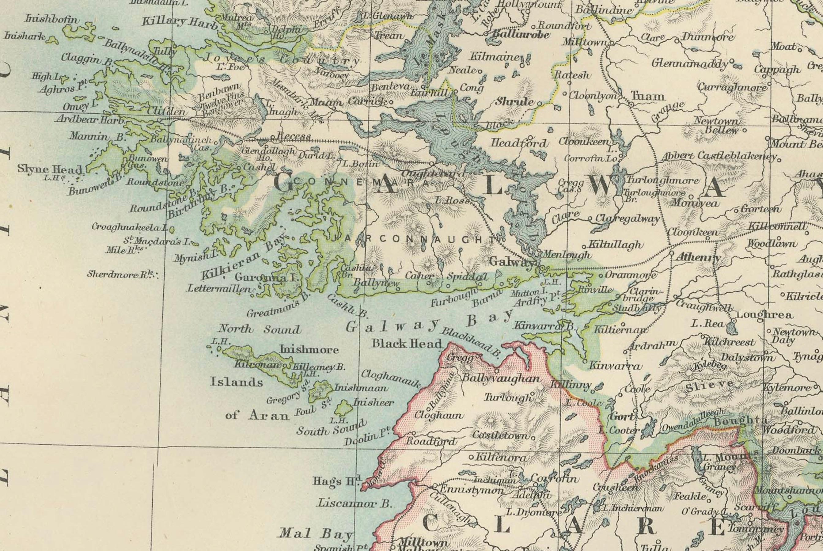
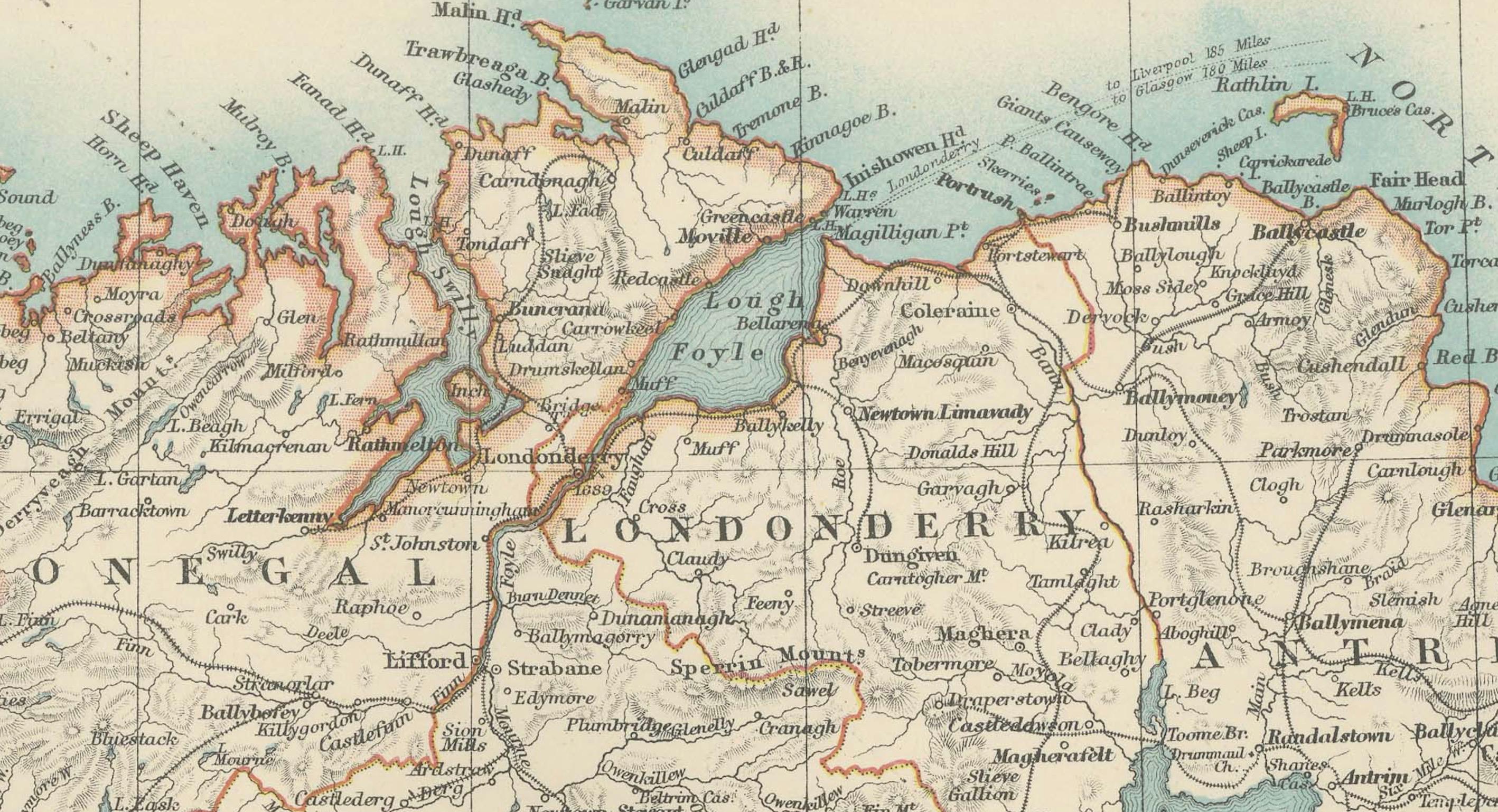
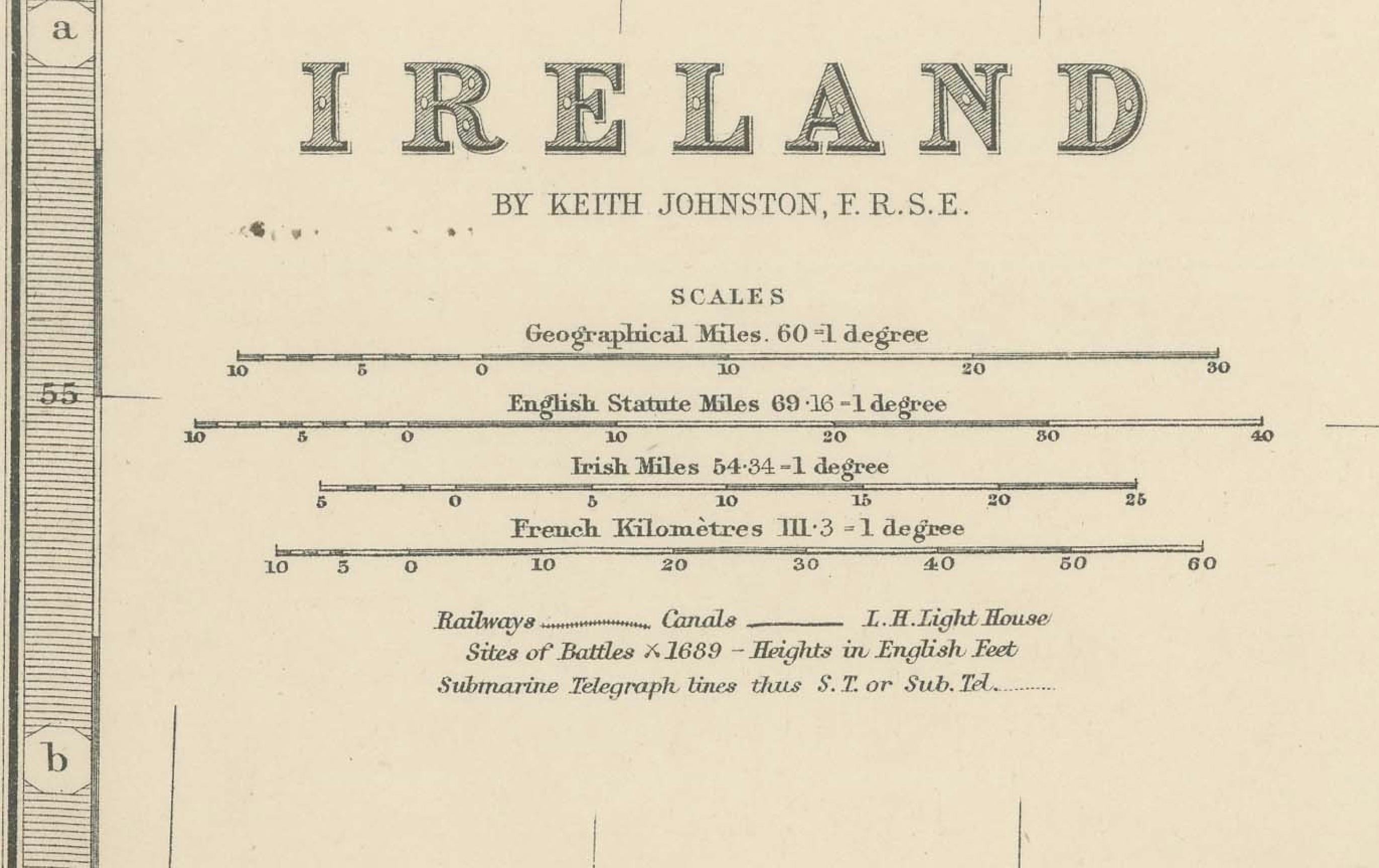
This antique map of Ireland, engraved and published in 1903 by the esteemed W. & A.K. Johnston firm in Edinburgh and London, is a beautifully detailed portrayal of the Emerald Isle. It offers a fascinating snapshot of Ireland’s political and geographical landscape at the turn of the 20th century.
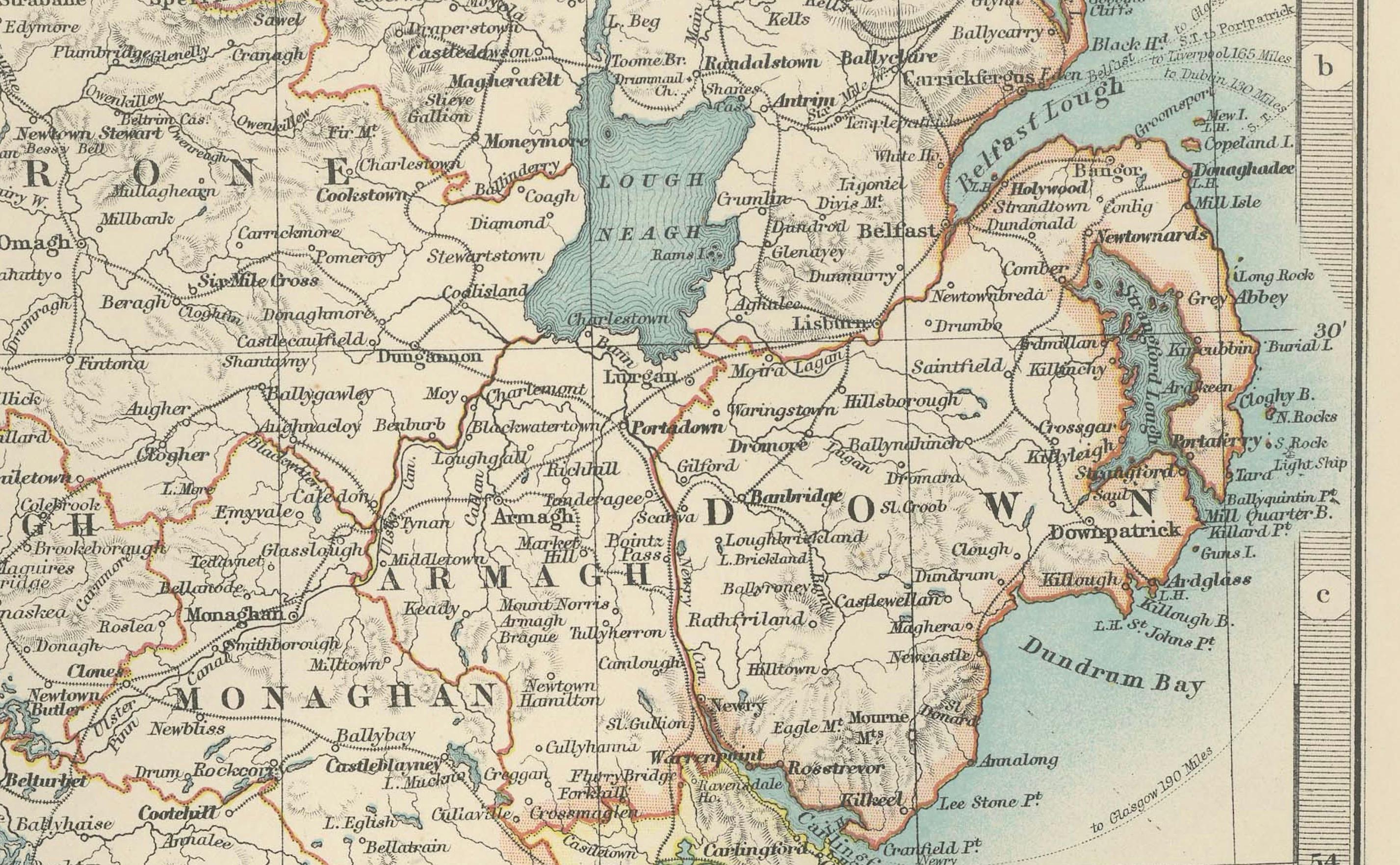
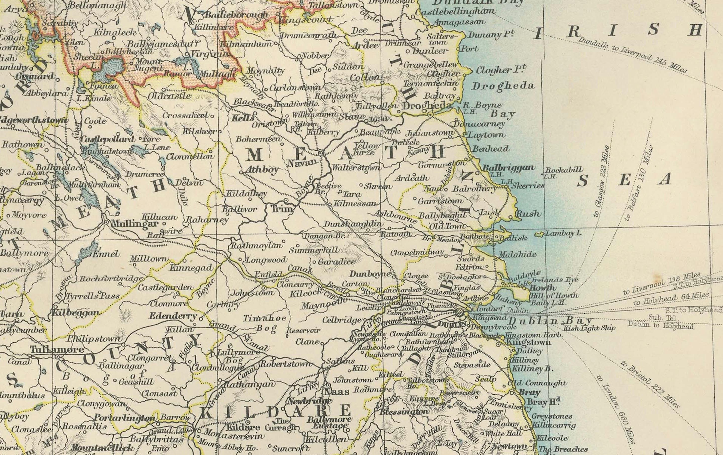
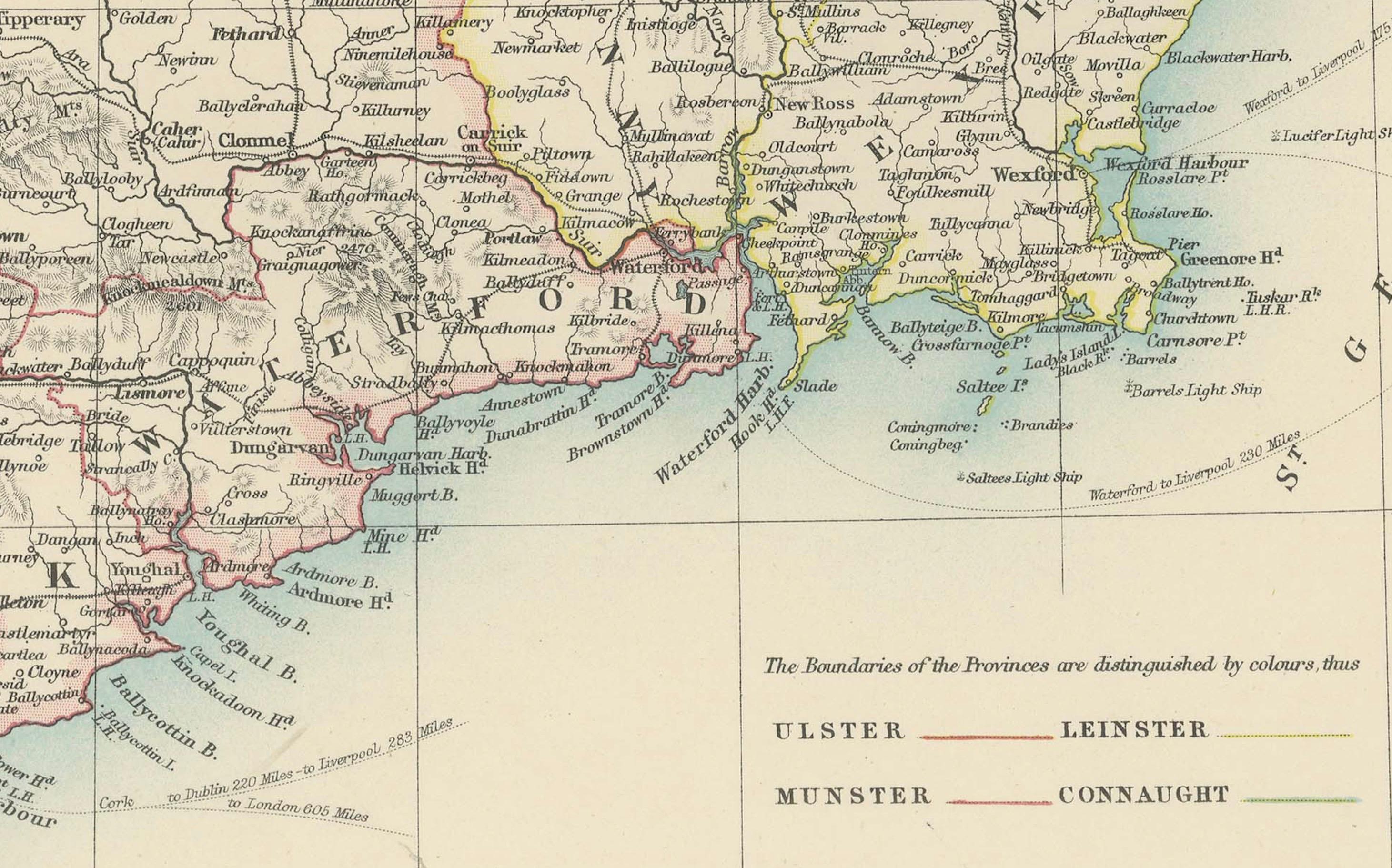
The map captures the entire island of Ireland with exceptional clarity, extending from the rugged coastlines of Donegal in the north to the sun-warmed shores of Cork and Kerry in the south. Delicately colored in soft pastels of green, pink, and yellow, it highlights the various counties and their administrative boundaries. Rivers, mountain ranges, and major cities such as Dublin, Belfast, and Cork are all meticulously documented, reflecting the cartographic precision of Johnston’s work.
Of particular interest are the intricate networks of railways and roads that connect the towns and villages, illustrating the early 20th-century infrastructure that helped shape the social and economic fabric of Ireland. The inclusion of historical province names—Ulster, Leinster, Munster, and Connaught—adds an extra layer of cultural context, evoking Ireland’s rich and complex history.
For collectors, historians, and lovers of Irish heritage, this map is more than just a beautiful artifact. It is a tangible record of Ireland during a time of significant social and political change, just before the transformative events of the Irish struggle for independence. Its soft coloring and fine engraving make it a stunning decorative piece that also sparks historical curiosity.
Condition report: The map is in very good antique condition, with minor age-related foxing and slight edge toning typical for its vintage. The colors remain vibrant and the paper is stable and well-preserved.
Framing tips: A classic wooden frame in walnut or oak will bring warmth and elegance to this map. Pair with a cream or off-white matting to accentuate the pastel coloring and delicate detail, creating a timeless and sophisticated display perfect for any home or office.