Antique Map of Southern England & Wales, 1903, with Coastal Details and Railways
€ 280
Original antique · The actual sheet photographed · Certificate of authenticity on request · Sold unframed · Worldwide shipping from € 15 (rates)
Date
1903
Sheet size
36.8 × 48 cm (14.5 × 18.9 in)
Condition
Good
Reference
BG-13577-5
What the condition grades mean
Excellent
Bright and clean, with no faults worth mentioning.
Very good
Only light signs of age, such as faint toning.
Good
Normal signs of age for a sheet of this period: toning, some foxing, small marks or neat old repairs.
Fair
Clear faults such as staining, tears or repairs, priced to match.
Every fault we see is written in the condition note, and the whole sheet is shown uncropped in the photos.
Condition
This map is in very good antique condition, with slight toning around the edges and minor foxing consistent with its age. The colors remain vibrant and the paper stable and intact. Folding line as issued.
About this sheet
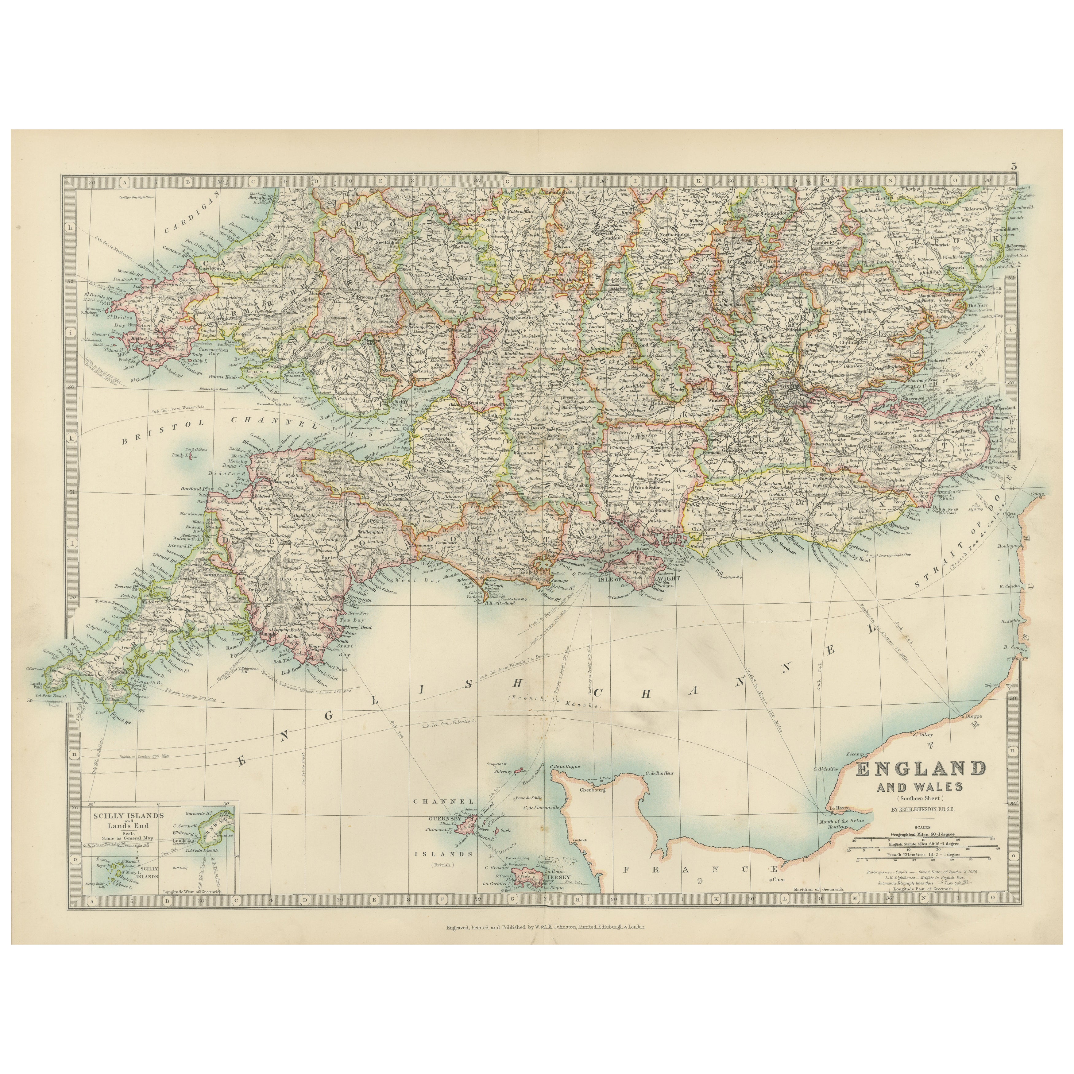
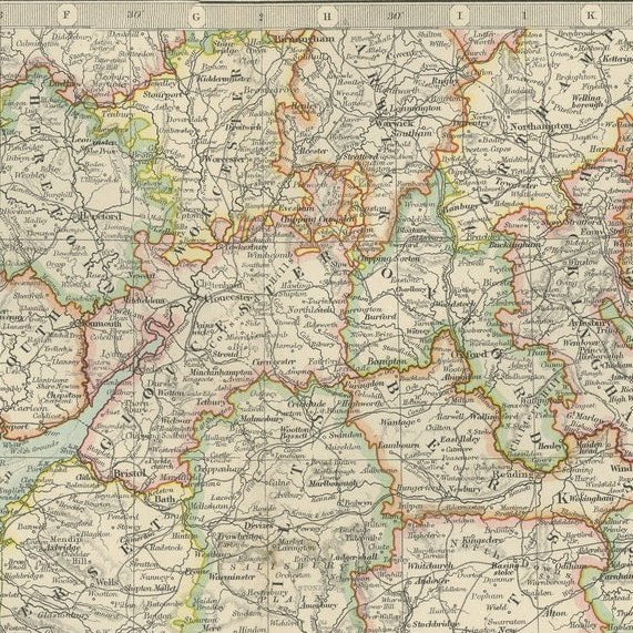
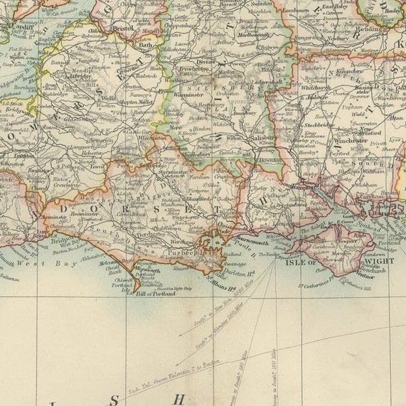
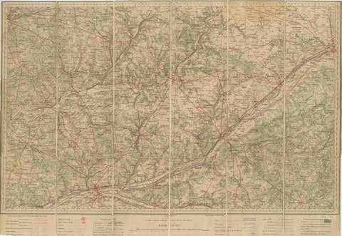
This detailed antique map, titled "England and Wales (Southern Sheet I)," was engraved and published in 1903 by W. & A.K. Johnston in Edinburgh and London. It offers a fascinating and intricate depiction of the southern part of England and Wales, showcasing counties, cities, towns, and natural features with exceptional clarity and artistry.
The map features the vibrant regions of Southern England, including Devon, Cornwall, Somerset, and the bustling metropolis of London. It also extends to Wales, highlighting the rugged coastline along the Bristol Channel and the scenic beauty of the English Channel. The fine engraving and subtle pastel coloring—using shades of green, pink, and yellow—create a refined and harmonious composition that brings this historical period to life.
One of the map’s highlights is its inclusion of the Scilly Islands in a dedicated inset, emphasizing their geographical and navigational importance. Extensive railway lines are meticulously marked, a testament to the region’s burgeoning industrial development and the vital role of rail transport in connecting towns and fostering economic growth during this transformative period.
For collectors and history enthusiasts, this map is not only a decorative statement but also a window into the geography and infrastructure of the United Kingdom at the beginning of the 20th century. It reflects an era of rapid modernization and urban expansion while preserving the rich character of the British landscape.
Condition report: This map is in very good antique condition, with slight toning around the edges and minor foxing consistent with its age. The colors remain vibrant and the paper stable and intact.
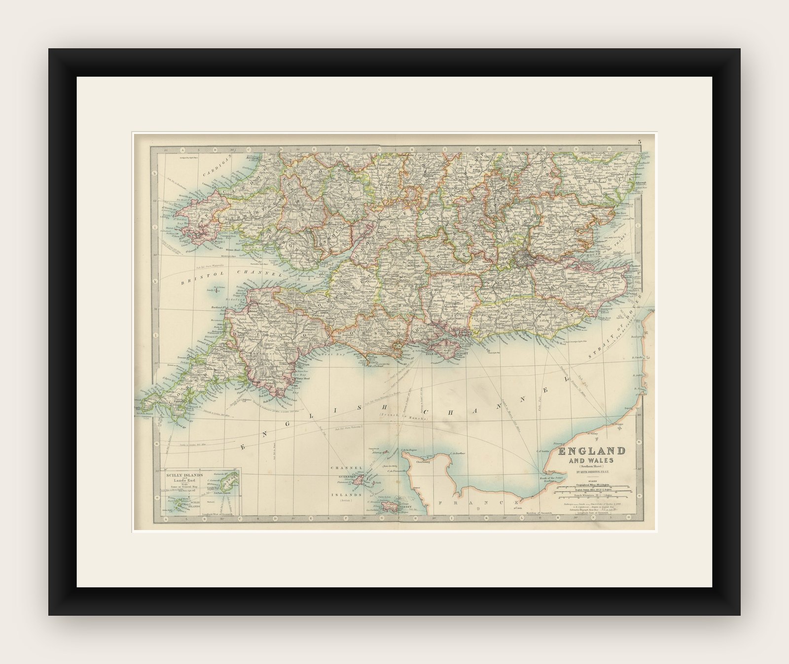
Framing tips: Select a traditional wooden frame in walnut or oak to complement the map’s historic charm. Use a cream or light tan matting to highlight the pastel coloring and intricate engraving, ensuring the map stands out as a sophisticated and elegant addition to any room.