maps-prints.com
✦
Black Friday Sale
Friday 20 to Monday 30 November: up to 30% off original antique maps and prints
The terms
- Up to 30% off selected original antique maps and prints. Every piece is an original, printed in its own time; none is a reproduction.
- The sale runs from Friday 20 November to Monday 30 November. Sale prices shown here apply from Friday 20 November; until then pieces are sold at their regular price.
- Free FedEx shipping on qualifying orders placed on our own websites: USA, Canada, UK and Europe over $500 / €450; rest of the world over $750 / €675. Smaller orders pay our normal shipping rate.
- Orders placed from 15 to 30 November ship from 1 December, in time for Christmas. Our shipping partner is InXpress.
- Each piece is unique, so the sale is while stock lasts.
Collection:AllAmericanSea chartsMilitaryNatural historyFashionArchitectureBotanicalSacredEast Indies
Sale prices apply from Friday 20 November. Save the pieces you like with the heart and come back on Friday.
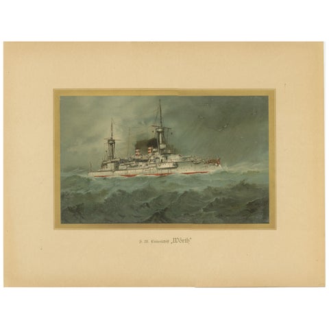 SMS Wörth: German Pre-Dreadnought Battleship in Stormy Seas – 1903 Chromolitho
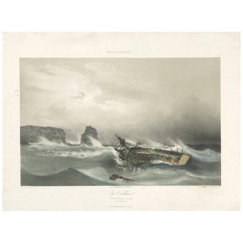 Antique Ship Print 'La Bellone' by Durand-Brager, circa 1850
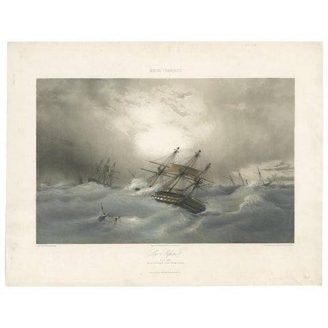 Antique Ship Print 'Le Sufren' by Durand-Brager, circa 1850
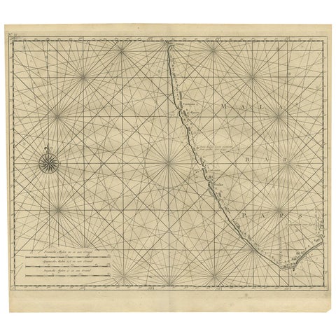 Antique Map of Malabar Coast by Valentijn, 1726
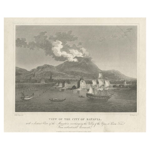 Antique Print of the Harbour Sunda Kelapa of Batavia in the Dutch Indies, 1826
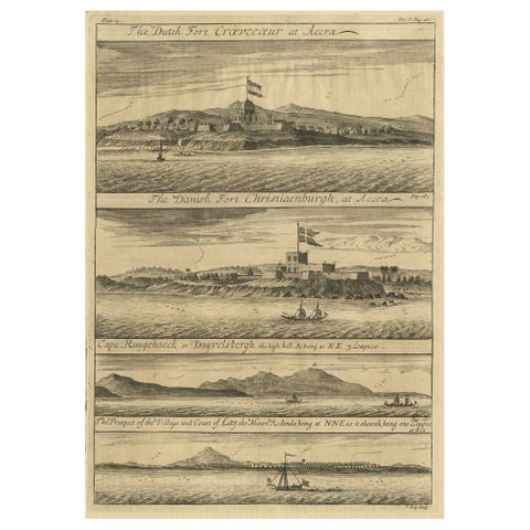 Rare Engraving of Dutch and Danish Forts on the West African Gold Coast, 1744
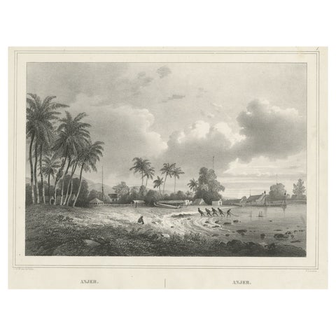 Old Print of Anjer or Anyer, Coastal Town in Banten, West Java, Indonesia, 1844
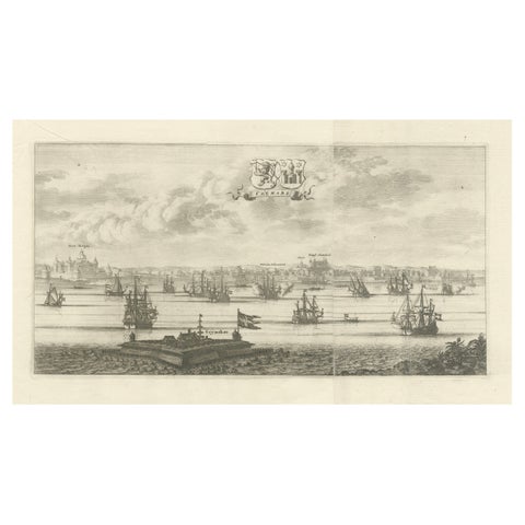 Maritime Majesty: The 17th-Century Skyline of Kalmar in Sweden, 1693
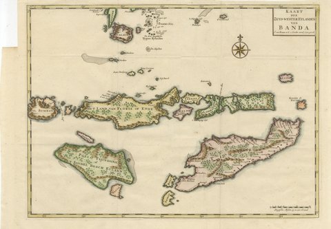 Hand-Colored Chart of Timor, Solor and the Southwest Banda Islands, 1726
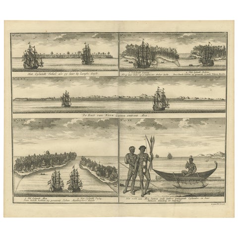 VOC Ships, Native People & Coastal Views of Islands near Papua New Guinea, 1726
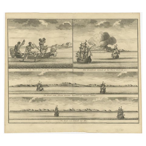 Old Print of VOC Ships & Native Fisherman and Coastal Views of New Guinea, 1726
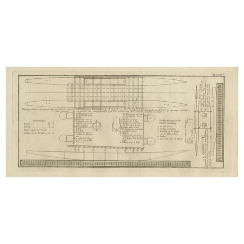 Old Drawing or Plan of a Proa of Amsterdam Island, Now Tongatapu, Tonga, 1803
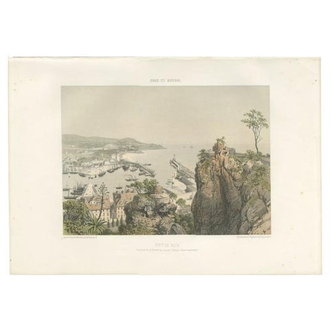 Antique Print of the Port of Nice in France, c.1865
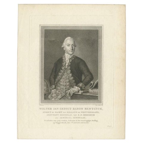 Antique Portrait of Bentinck, a Dutch Naval Hero by Vinkeles
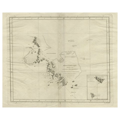 Antique Map of Kerguelens Island Coast in the Indian Ocean by Cook, 1785
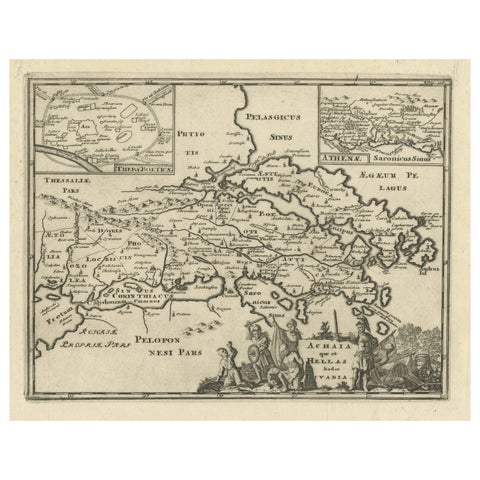 Original Antique Map of the Coast of Part of Greece, with Athens and Thebes
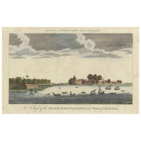 1778 View of the Dutch Fortifications and Port of Batavia, Now Jakarta
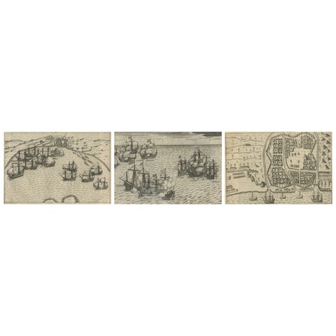 Dutch Fleet and Fortified Port City of Bantam, from History of Amsterdam, 1611
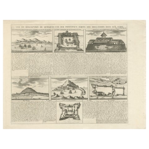 Antique Dutch East Indies Forts Engraving — VOC Batavia, Ambon & Banda, c.1719
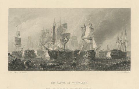 The Battle of Trafalgar, Admiral Nelson & British Fleet, 1805
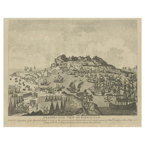 Antique Print of Gibraltar Showing the Spanish and English Fleet, 1782
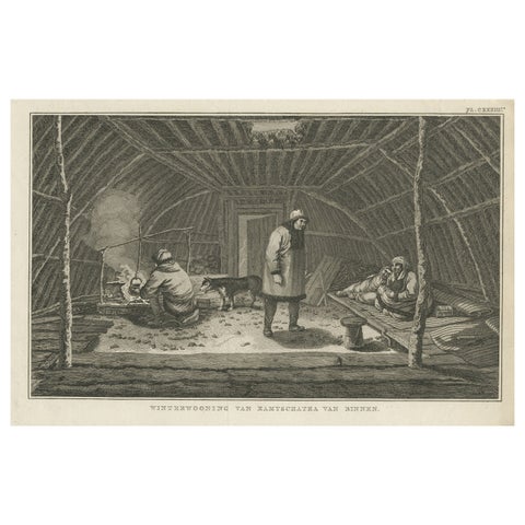 Interior of Winter House, Kamchatka – Cook Voyage Engraving c.1803
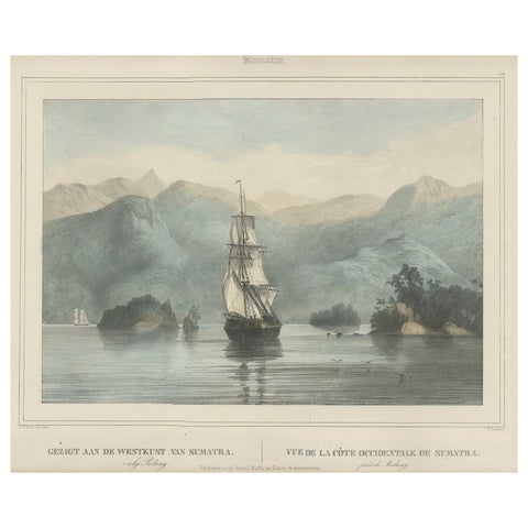 Antique Print of a Ship Near the Coast of Sumatra, Indonesia, c.1845
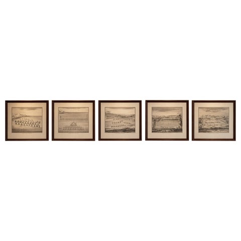 Classical Warfare & Naval Battles, Set of 5 Antique Engravings, France c.1720
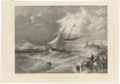 Prince Albert Landing at Dover – Royal Maritime Engraving, c.1840
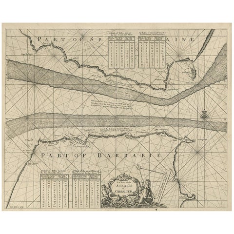 Antique Map of the Straits of Gibraltar by J. Gascoyne, circa 1716
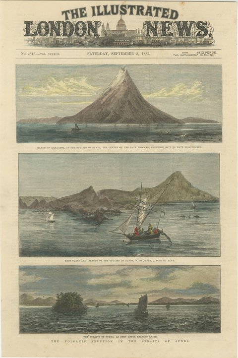 Krakatoa Eruption in the Straits of Sunda, Anjer Before the Wave, 1883
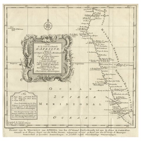 Dutch Antique Map of the West Coast of Africa, to the Cape of Good Hope, 1747
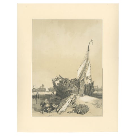 Rotterdam from the Ferry – Stanfield Sketches, Boys after Stanfield, 1833
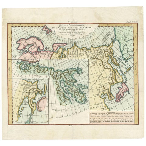 Antique Map of the North and East Coast of Asia by Vaugondy, circa 1750
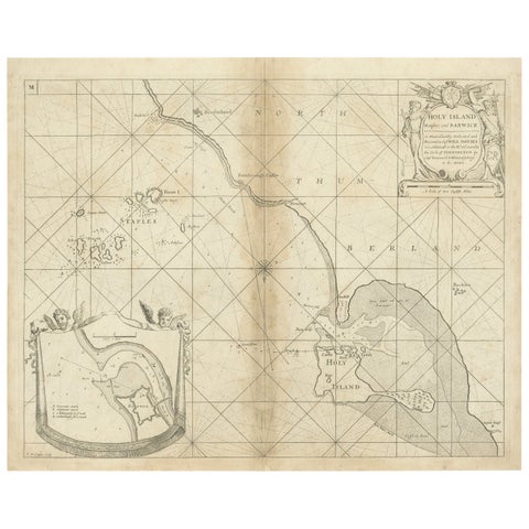 Coast of Northumberland, England, Incl the Holy & Farne Islands, Etc, 1693
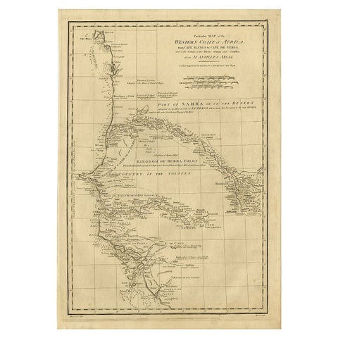 Map of the West African coast from the North of Mauretania to Guinee, 1788
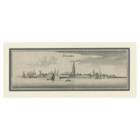 Antique Print of the Frisian Harbour City of Stavoren in the Netherlands, 1659
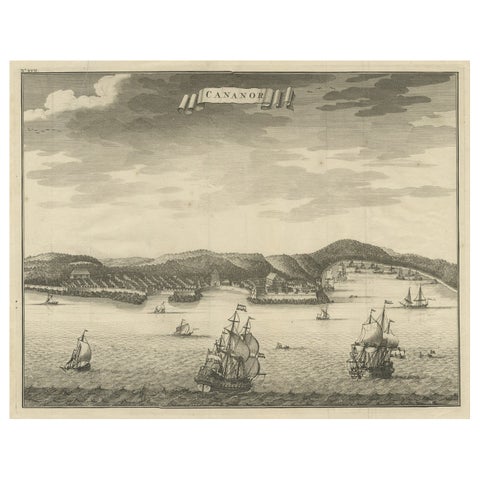 Antique Print of Kannur or Cananore with Ships, in Kerala, India, 1726
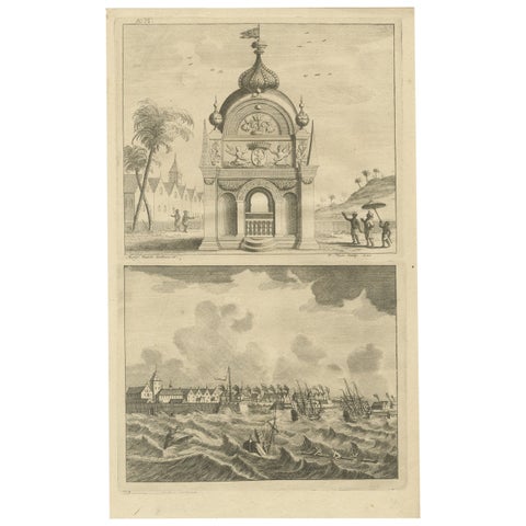 Antique Print of the Coromandel Coast in India, 1726
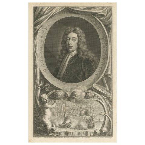 Antique Portrait of Fleet Admiral of George Byng, 1st Viscount Torrington, 1750
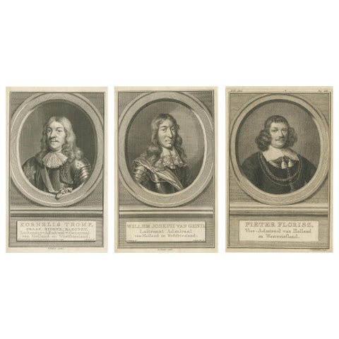 Set of Three Dutch Naval Portraits – Tromp, Van Ghend, and Florisz, c.1700s
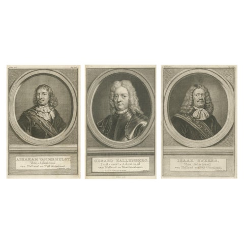 Set of Three Dutch Naval Portraits – Van der Hulst, Kallenberg & Sweers, c.1700
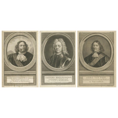 Set of Three Dutch Naval Portraits – Kortenaer, Kallenberg, and Van Nes, c.1700s
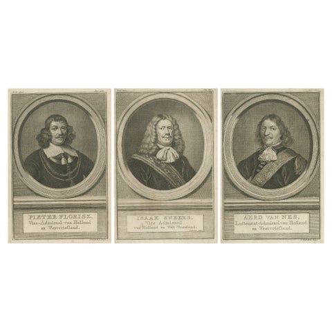 Dutch Naval Leaders – Florisz, Sweers, and Van Nes, c.1750 Copper Engravings
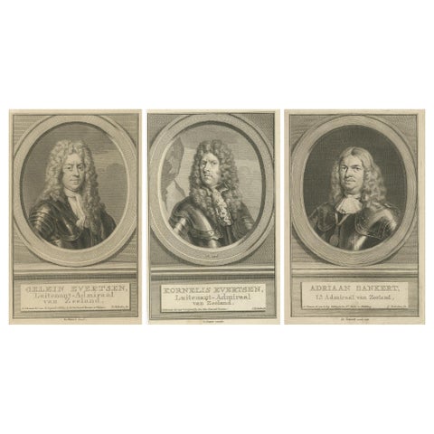 Naval Commanders of Zeeland – Gelein & Kornelis Evertsen, Adriaan Bankert, c1750
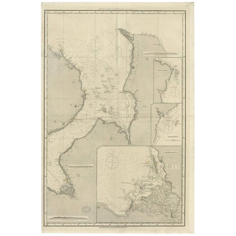 Antique Map of the British Islands to the White Sea by J. Imray
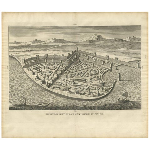 Antique Print of the City and Port of Ptolemais in Phoenicia by A. Calmet, 1725
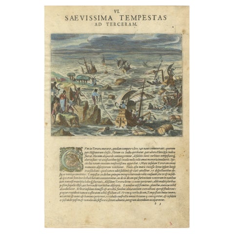 The Fury of the Azores: Shipwreck Disaster at Terceira, Engraved in circa 1610
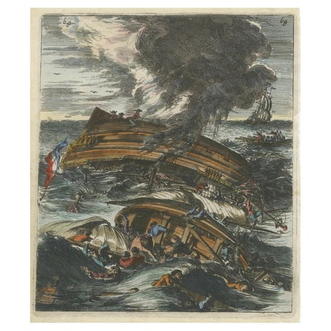 Capsizing Warships – Hand-Colored Etching of Schouten’s East Indian Voyage, 1676
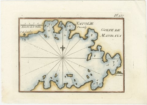 Golfe de Mandaya Sea Chart by Joseph Roux, Ottoman Turkey, c.1764
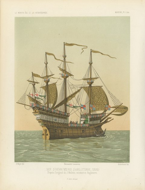 The Great Harry, Ship of Henry VIII after Holbein, Antique Print, 1849
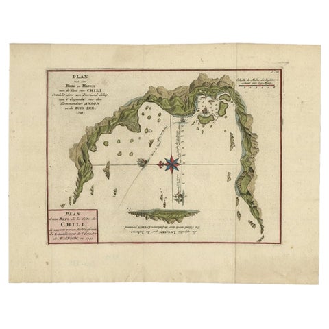 Chile Coast Bay Map – Antique 1749 Chart by Anson from Voyage Around the World
Sharing the sale? Download the Black Friday banners.