maps-prints.com
✦
Black Friday Sale
Friday 20 to Monday 30 November: up to 30% off original antique maps and prints
The terms
- Up to 30% off selected original antique maps and prints. Every piece is an original, printed in its own time; none is a reproduction.
- The sale runs from Friday 20 November to Monday 30 November. Sale prices shown here apply from Friday 20 November; until then pieces are sold at their regular price.
- Free FedEx shipping on qualifying orders placed on our own websites: USA, Canada, UK and Europe over $500 / €450; rest of the world over $750 / €675. Smaller orders pay our normal shipping rate.
- Orders placed from 15 to 30 November ship from 1 December, in time for Christmas. Our shipping partner is InXpress.
- Each piece is unique, so the sale is while stock lasts.
Collection:AllAmericanSea chartsMilitaryNatural historyFashionArchitectureBotanicalSacredEast Indies
Sale prices apply from Friday 20 November. Save the pieces you like with the heart and come back on Friday.
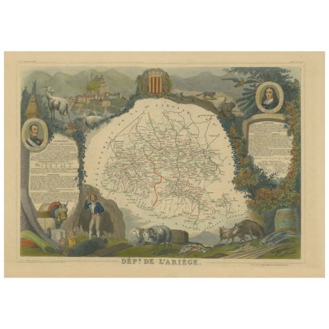 Hand Colored Antique Map of the Department of Ariège, France
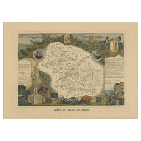 Hand Colored Antique Map of the department of Loir-et-Cher, France
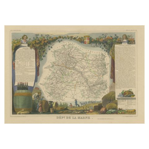 Hand Colored Antique Map of the Department of Marne, France
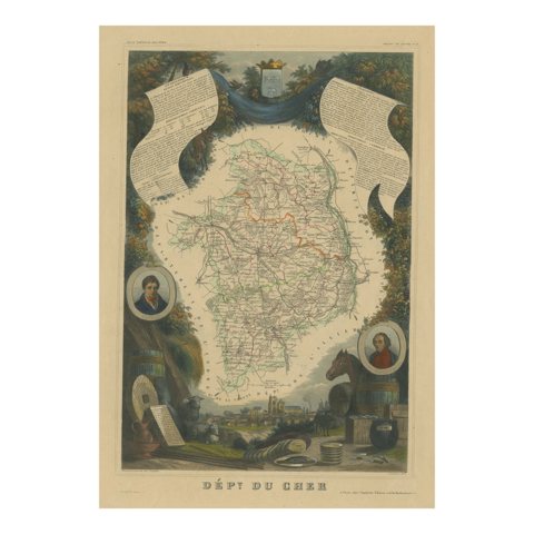 Hand Colored Antique Map of the Department of Cher, France
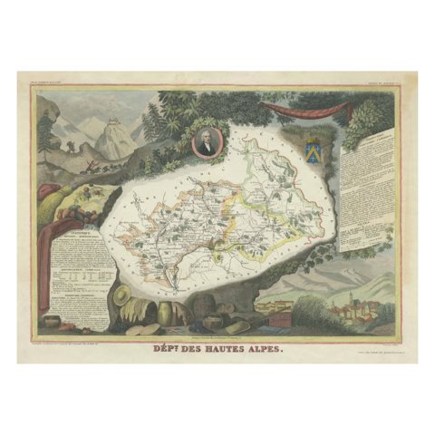 Hand Colored Antique Map of the department of Hautes Alpes, France
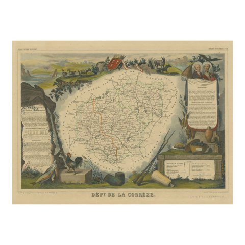 Hand Colored Antique Map of the Department of Correze, France, 1852
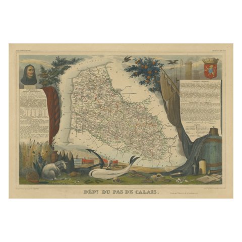 Hand Colored Antique Map of the Department of Calais, France
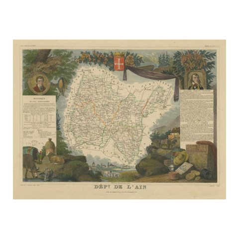 Hand Colored Antique Map of the Department of L'ain, France, 1852
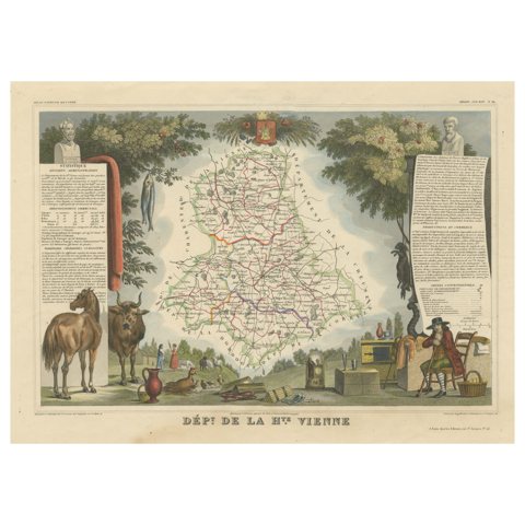 Hand Colored Antique Map of the Department of Haute-Vienne, France
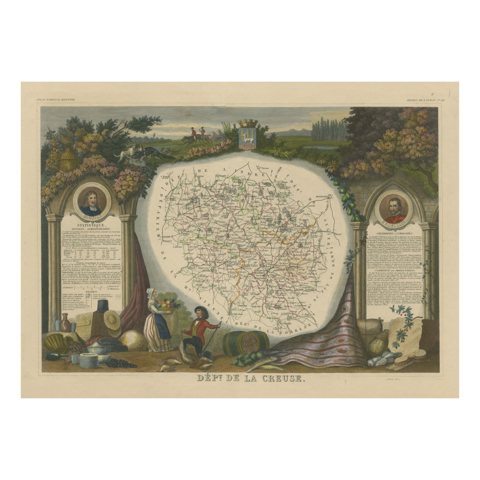 Hand Colored Antique Map of the Department of Creuse, France
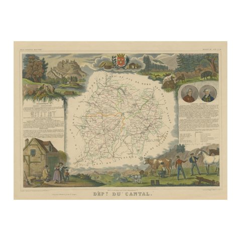 Old Map of the French Department of Cantal, France
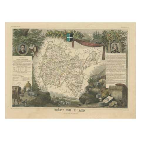 Old Map of the French Department of L'ain, France
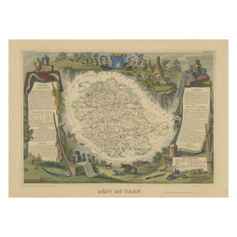 Hand Colored Antique Map of the Department of Tarn, France, circa 1852
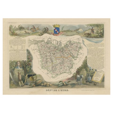 Hand Colored Antique Map of the Department of Eure, France
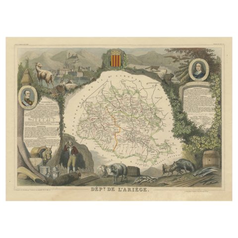 Old Map of the French department of Ariège, France
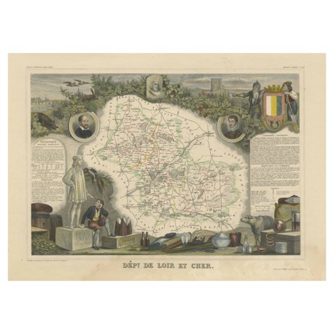 Old Map of the French Department of Loir-et-cher, France
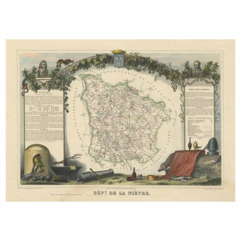 Old Map of the French Department of Nièvre, France
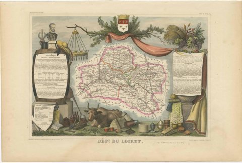 Hand Colored Antique Map of the department of Loiret, France
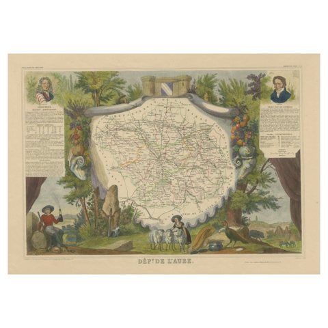 Hand Colored Antique Map of the department of Aube, France
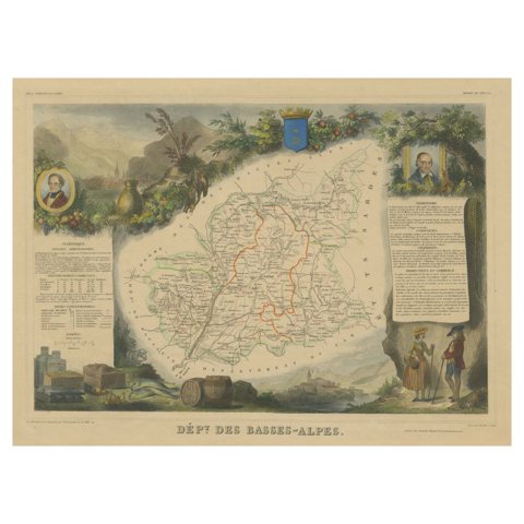 Hand Colored Antique Map of the Department of Basses-Alpes, France
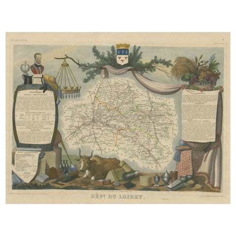 Old Map of the French Department of Loiret, France
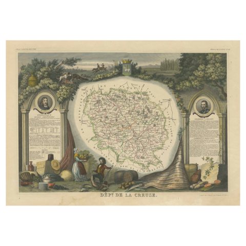 Old Map of the French department of Creuse, France
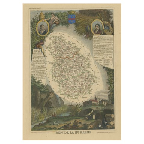 Hand Colored Antique Map of the Department of Haute Marne, France
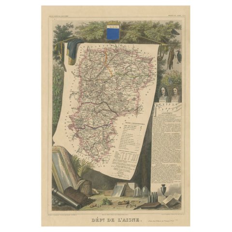 Hand Colored Antique Map of the Department of L'aisne, France
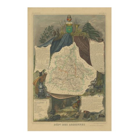 Hand Colored Antique Map of the department of Ardennes, France
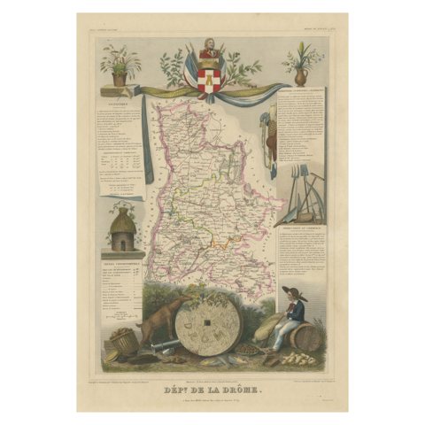 Hand Colored Antique Map of the department of Drôme, France
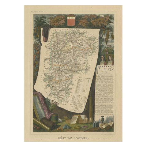 Old Map of the French department of l'Aisne, France
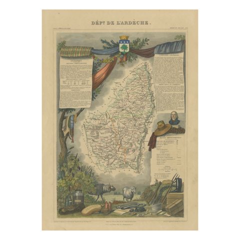 Hand Colored Antique Map of the Department of Ardèche, France
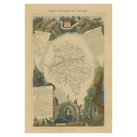 Hand Colored Antique Map of the department of Indre and Loire, France
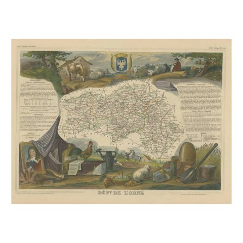 Hand Colored Antique Map of the Department of Orne, France
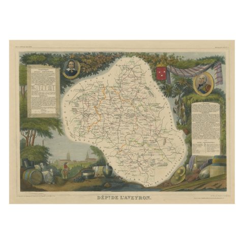 Hand Colored Antique Map of the department of Aveyron, France
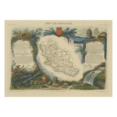 Hand Colored Antique Map of the Department of Vaucluse, France
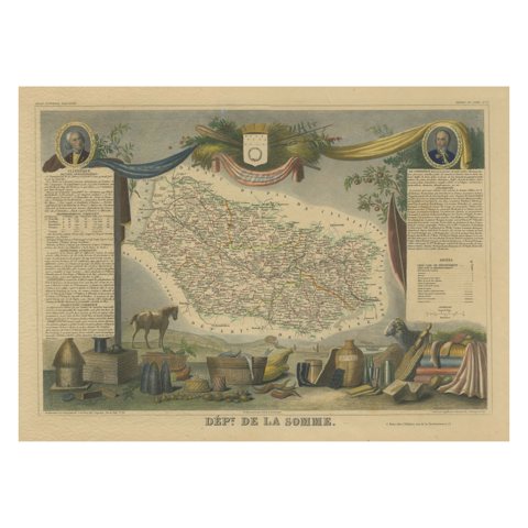 Hand Colored Antique Map of the department of Somme, France
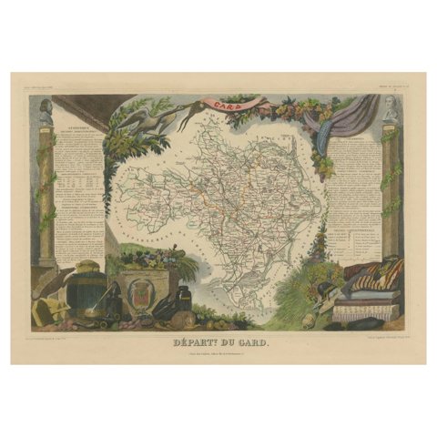 Hand Colored Antique Map of the Department of Gard, France
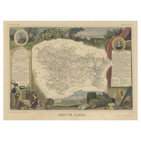 Hand Colored Antique Map of the Department of Aude, France
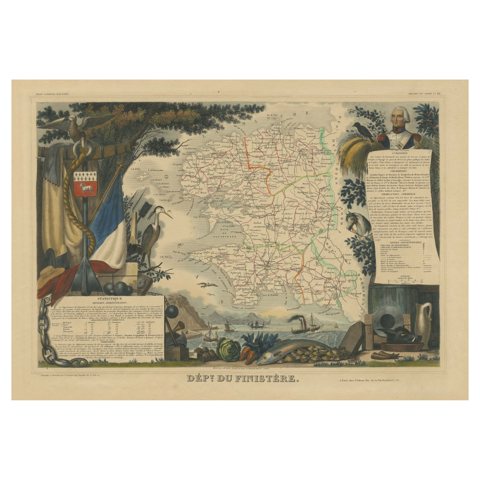 Hand Colored Antique Map of the department of Finistère, France
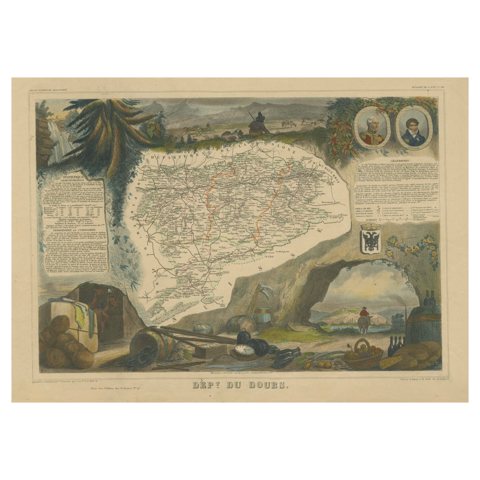 Hand Colored Antique Map of the Department of Doubs, France
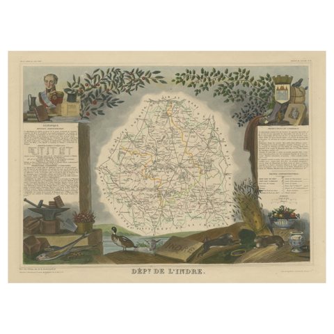 Old Map of the French Department of Indre, France
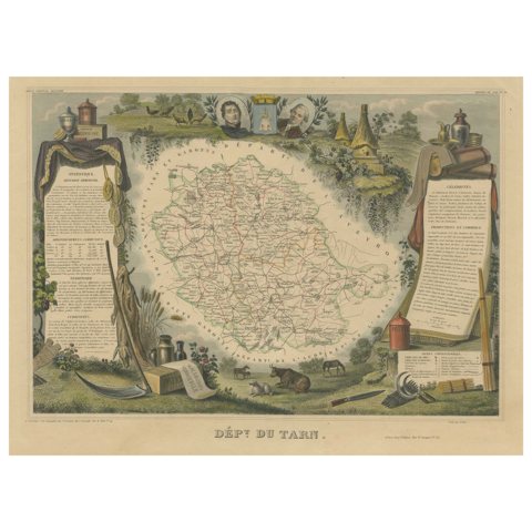 Old Map of the French department of Tarn, France
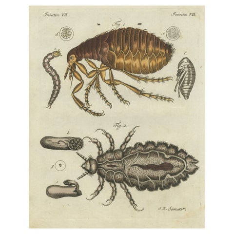 Original Antique Print of the Human Flea and Human Louse
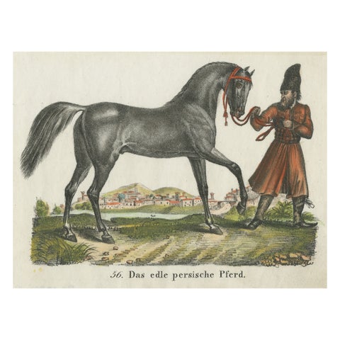 Antique Print of Persian Horse
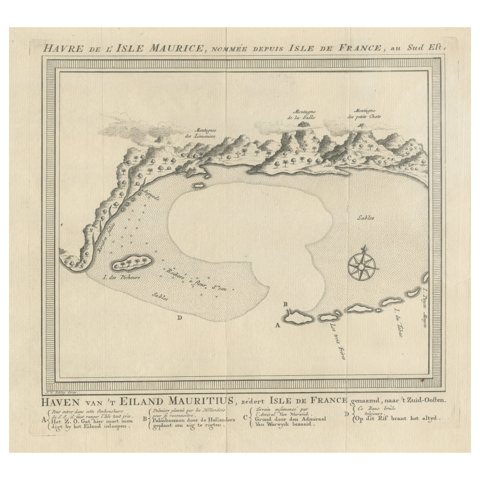 Original Antique Print of the Bay of the Island Mauritius, Indian Ocean
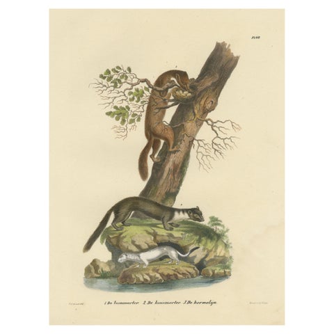 Antique Print of a European Pine Marter, Marten and Stoat
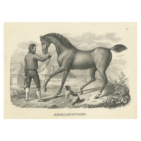 Antique Print of a Mecklenburger Horse
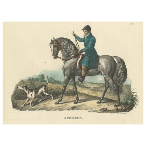 Antique Print of a Spanish Horse
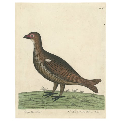 Hand Colored Antique Print of a Black Game Hen or Grouse
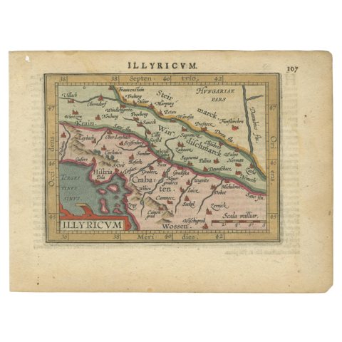 Antique Miniature Map of the Roman Province of Illyricum 'Dalmatia', 1612
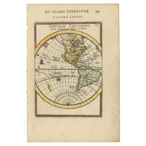 Antique Miniature Map of the Western Hemisphere, California as an Island, c.1683
Sharing the sale? Download the Black Friday banners.