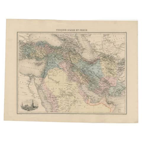
Egypt and Lower Nubia, 1903 - Historical Map Highlighting Nile and Red Sea
€ 280
One of a kind: this is the sheet in the photographs. Ships from Langweer, the Netherlands.
Date
1903
Sheet size
47 × 36.8 cm (18.5 × 14.5 in)
Condition
Good
Reference
BG-13577-38
Condition
This map is in very good condition for its age, with only minimal signs of wear at the edges and some minor foxing in the margins. The paper is stable and the printed detail remains crisp and vibrant.
About this sheet
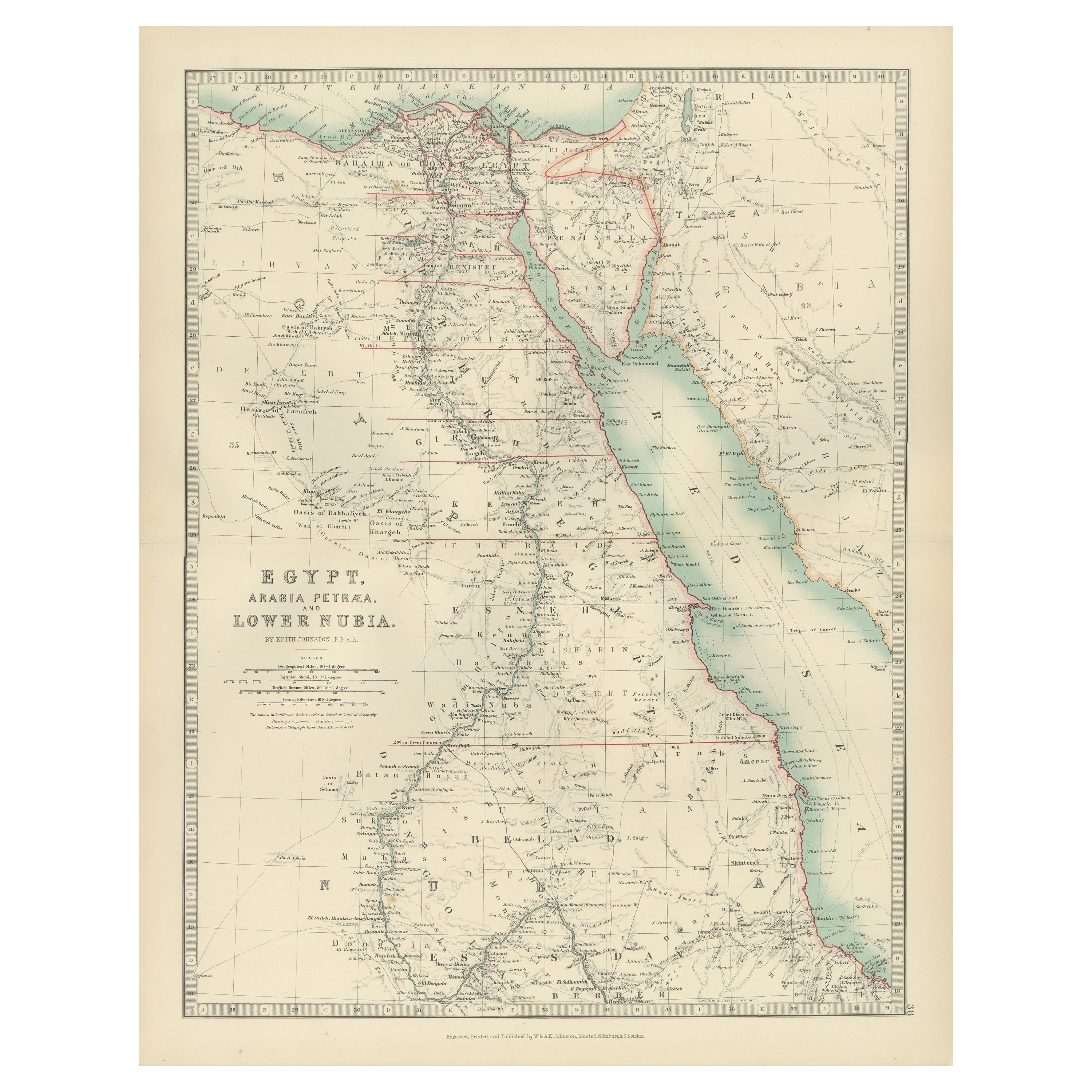
Egypt and Lower Nubia, 1903 - Historical Map Highlighting Nile and Red Sea
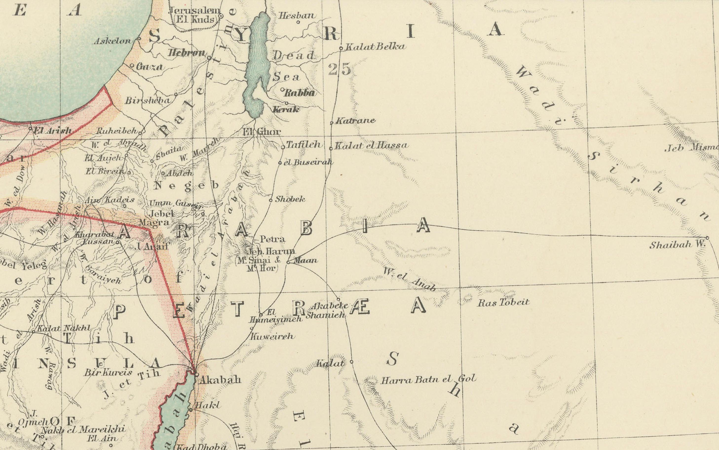
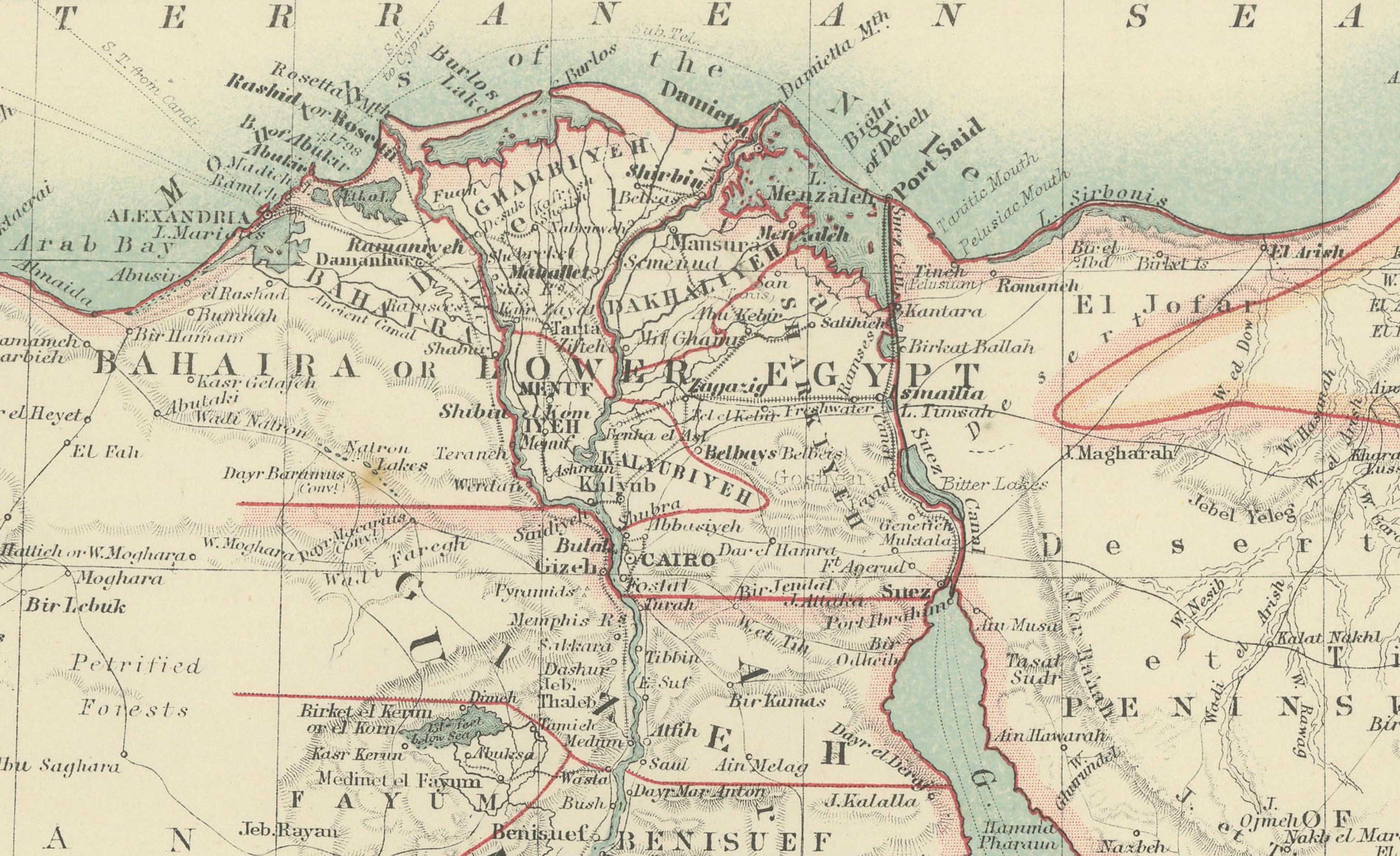
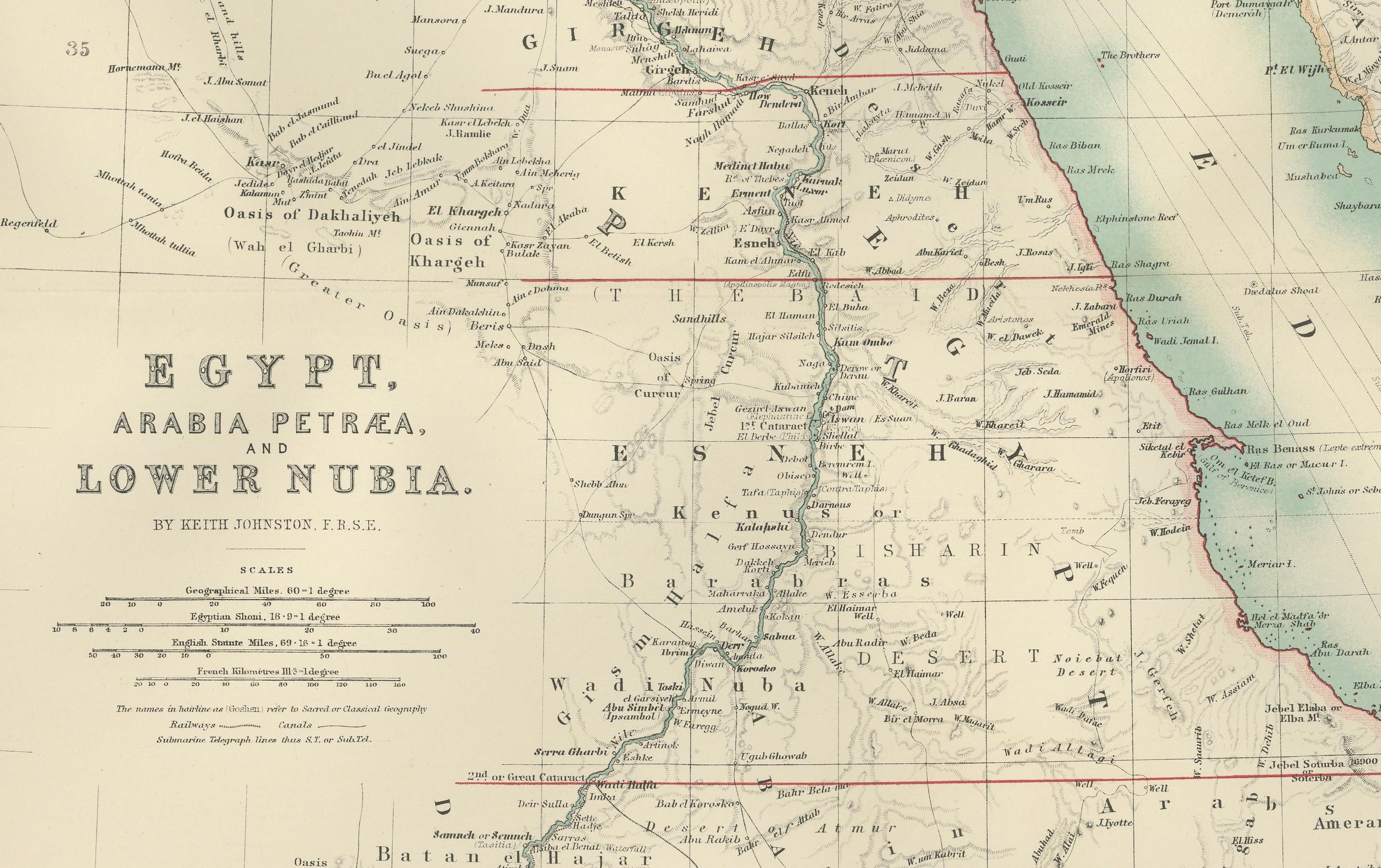
This beautifully detailed map titled "Egypt, Arabia Petraea, and Lower Nubia" was engraved, printed, and published by W. & A.K. Johnston in Edinburgh and London in 1903. It captures the landscapes and geopolitical boundaries of Egypt and Lower Nubia during a period of intense archaeological exploration and European colonial influence.
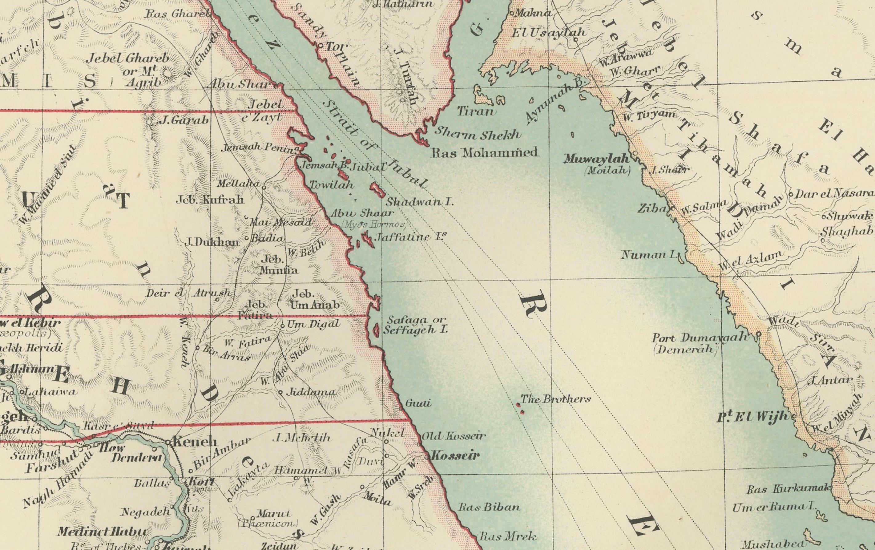
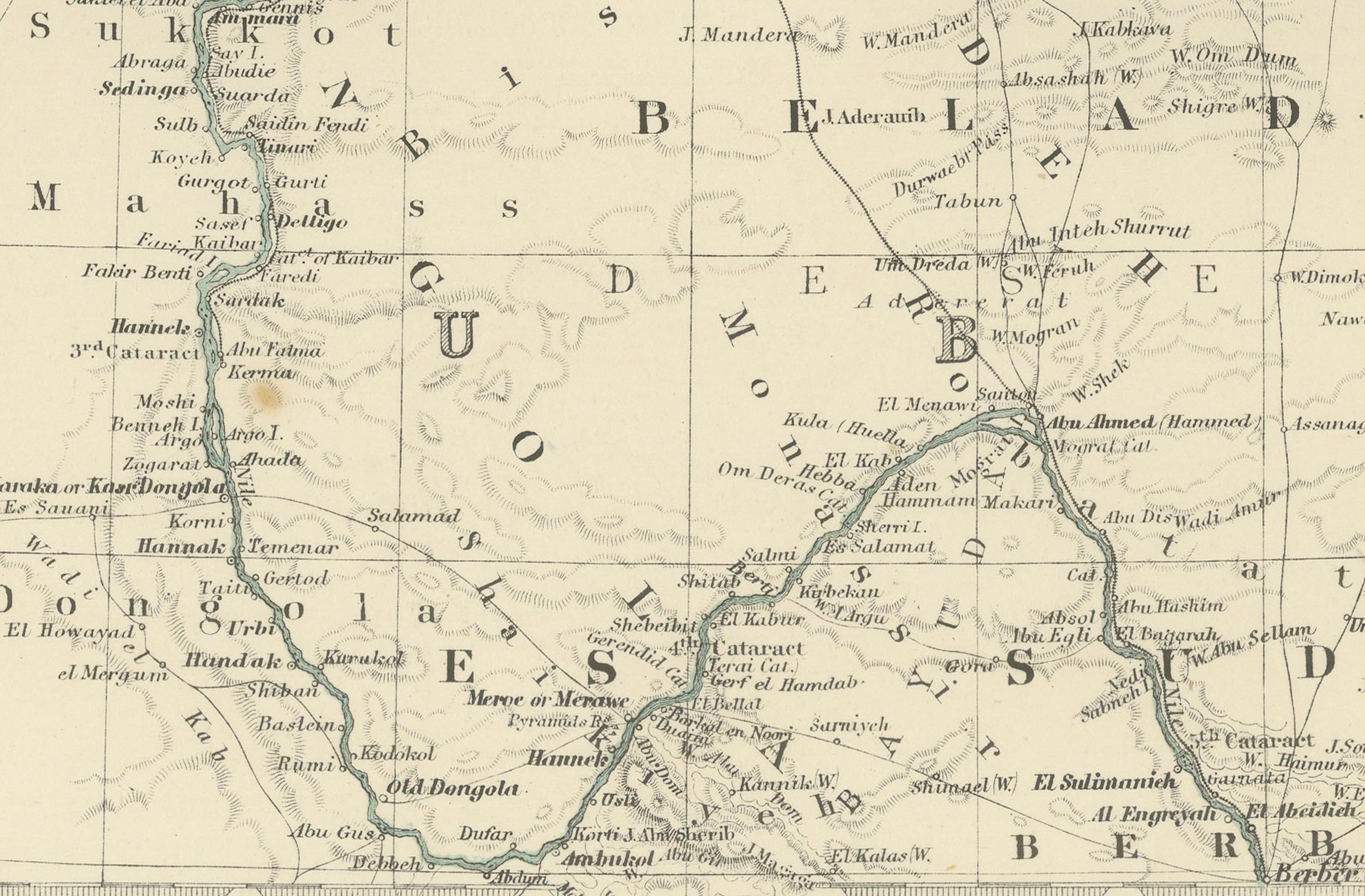
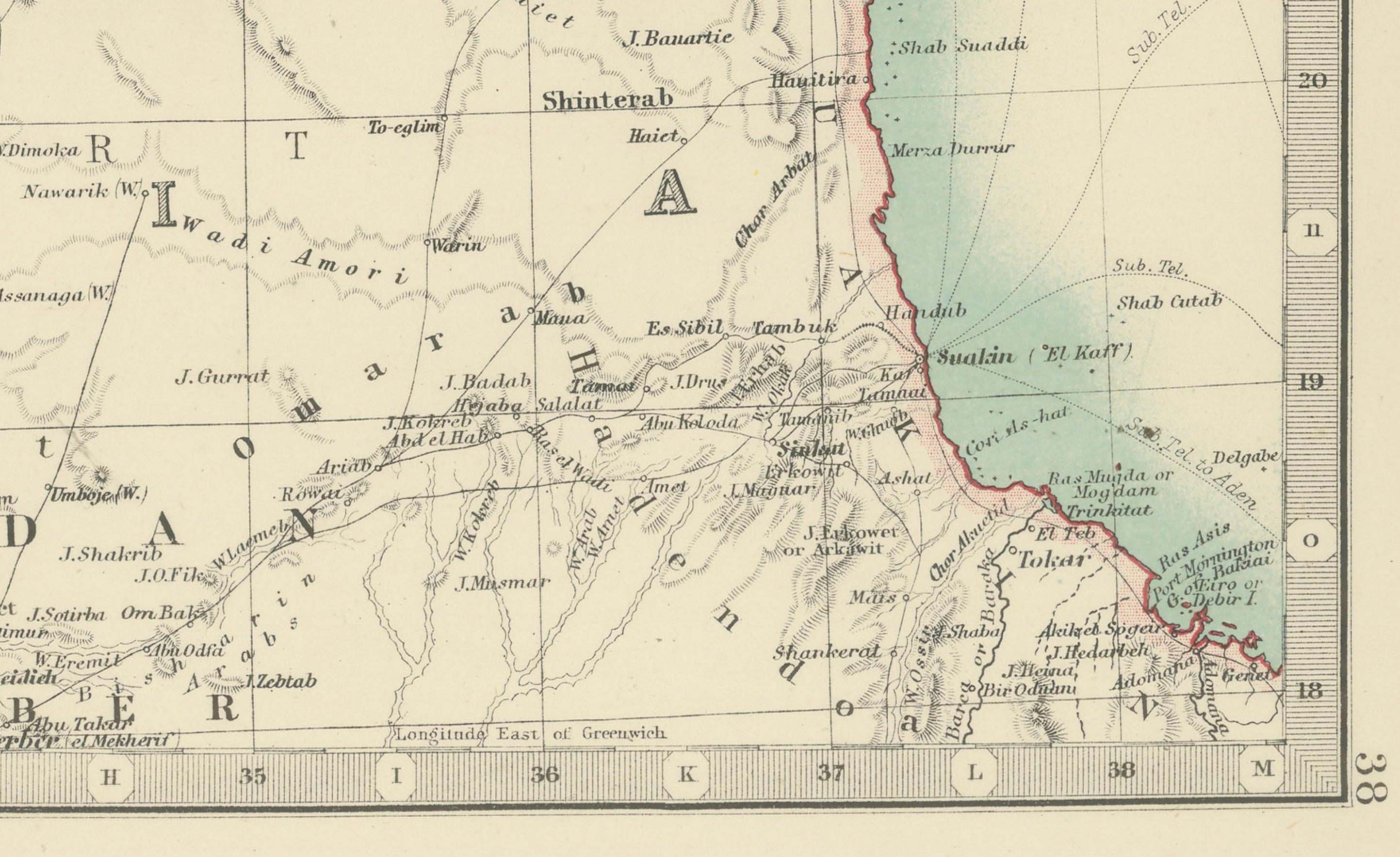
The map covers the course of the Nile River as it flows through Egypt and Lower Nubia, from the Mediterranean Sea down to the region of modern-day Sudan. Cities, ancient sites, and topographical features are meticulously labeled, reflecting a deep historical knowledge and an eagerness to catalog the region's landmarks, including the Delta, Cairo, and the ancient ruins along the Nile. The Red Sea’s western coastline is also prominently detailed, showing key ports and trade routes that were vital in connecting Africa, the Middle East, and Asia.
Of particular interest to collectors and historians is how the map captures the geopolitical borders of Egypt as they existed at the turn of the 20th century, reflecting the British occupation that began in 1882. The map's clarity, fine engraving, and subtle color palette make it a compelling piece of cartographic history, perfect for framing and display.
Condition report: This map is in very good condition for its age, with only minimal signs of wear at the edges and some minor foxing in the margins. The paper is stable and the printed detail remains crisp and vibrant.
Framing tips: A classic wooden frame in dark walnut or mahogany, paired with a cream or light beige mat, would highlight the map’s soft colors and intricate linework. Ideal for display in an office, library, or gallery, this piece offers both aesthetic appeal and historical significance.