About this sheet
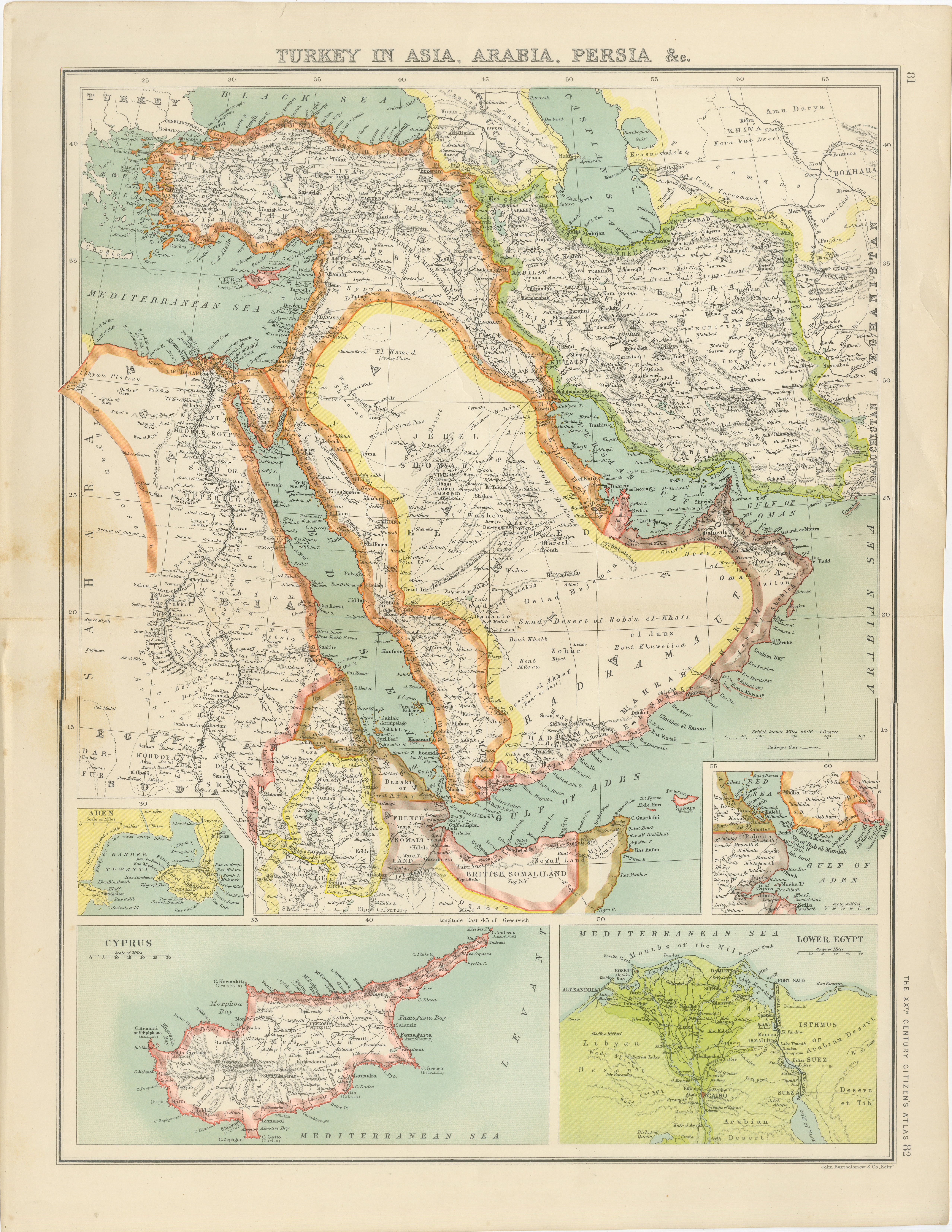
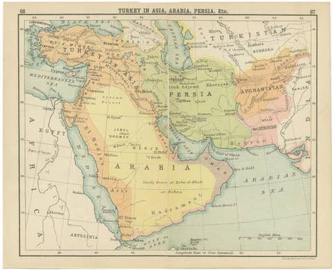
Turkey in Asia, Arabia & Persia Map with Cyprus and Egypt Insets c.1902
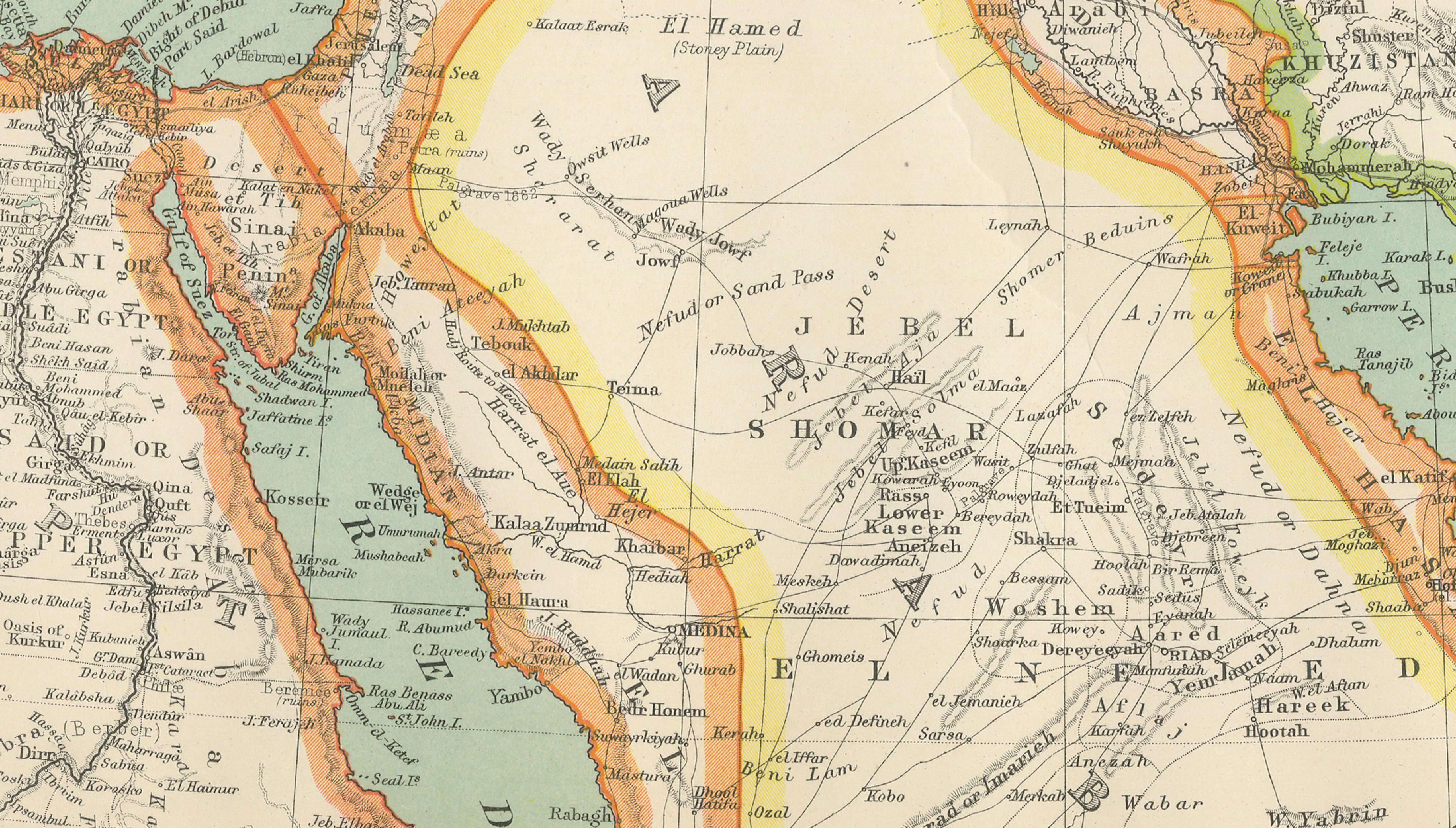
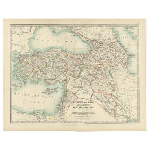
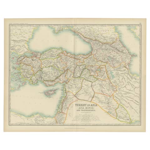
A beautifully detailed antique map titled “Turkey in Asia, Arabia, Persia &c.”, published around 1900 as part of The XXth Century Citizen’s Atlas by the renowned Scottish cartographic firm John Bartholomew & Co. This richly colored map presents an expansive view of the Middle East at the height of the late Ottoman and colonial era, encompassing modern-day Turkey, Syria, Iraq, Saudi Arabia, Yemen, Oman, Iran, Egypt, and the Persian Gulf region.
The map is particularly attractive for its elegant pastel outline coloring and dense geographic detail, characteristic of Bartholomew’s highly regarded atlas production. Political borders, trade routes, deserts, mountain ranges, and important cities are carefully engraved and printed with remarkable clarity. The Ottoman territories stretch across Anatolia and the Levant, while Persia dominates the eastern section of the map, creating a visually balanced composition rich in historical significance.
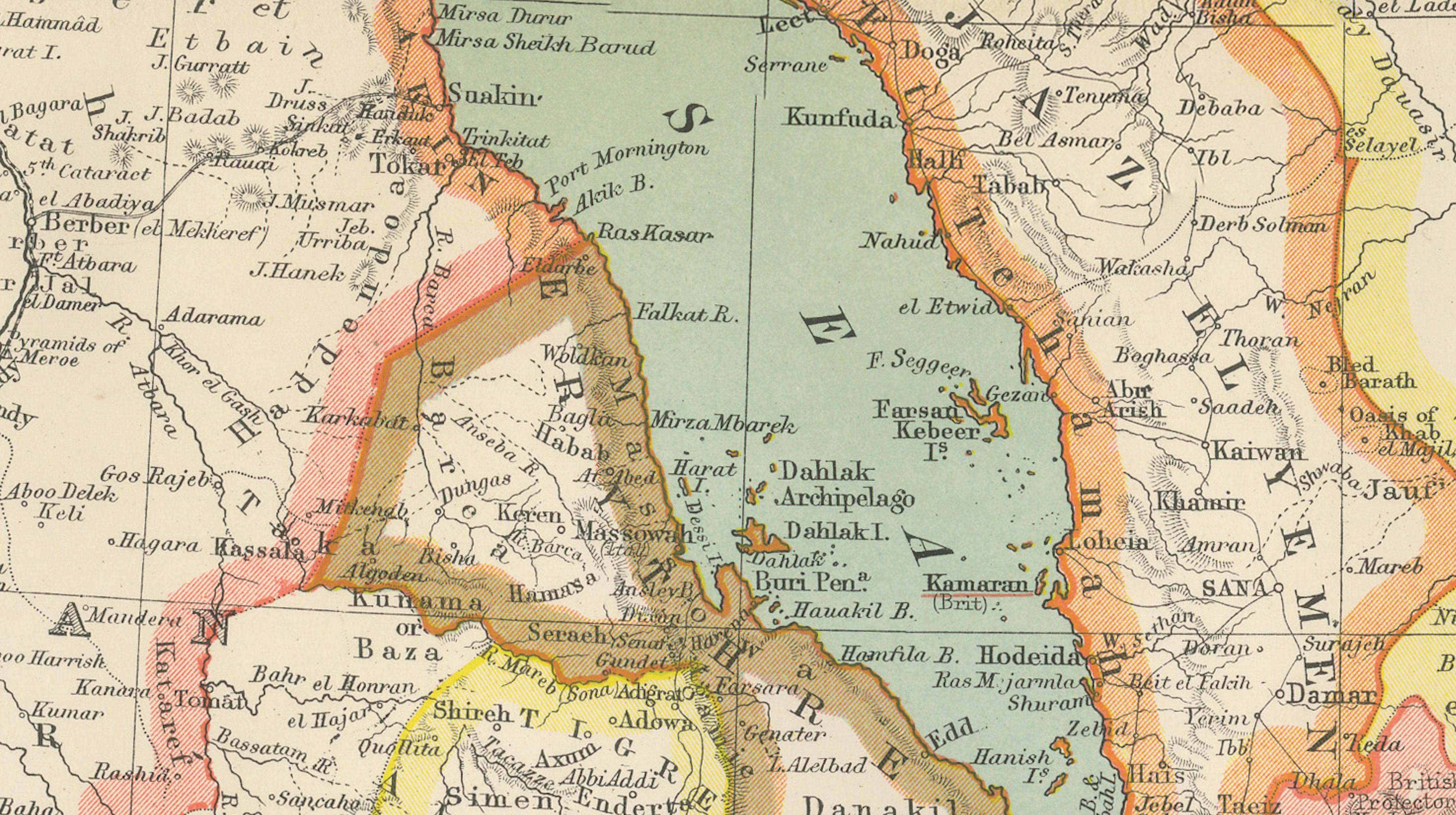
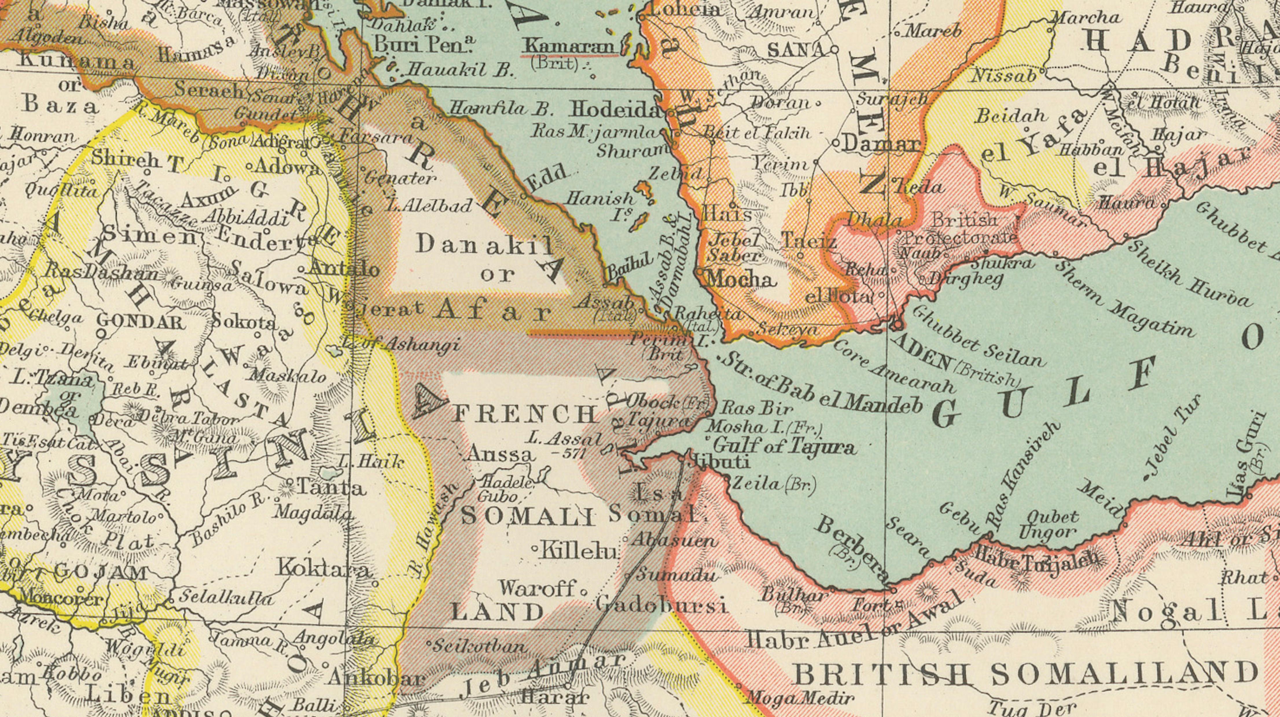
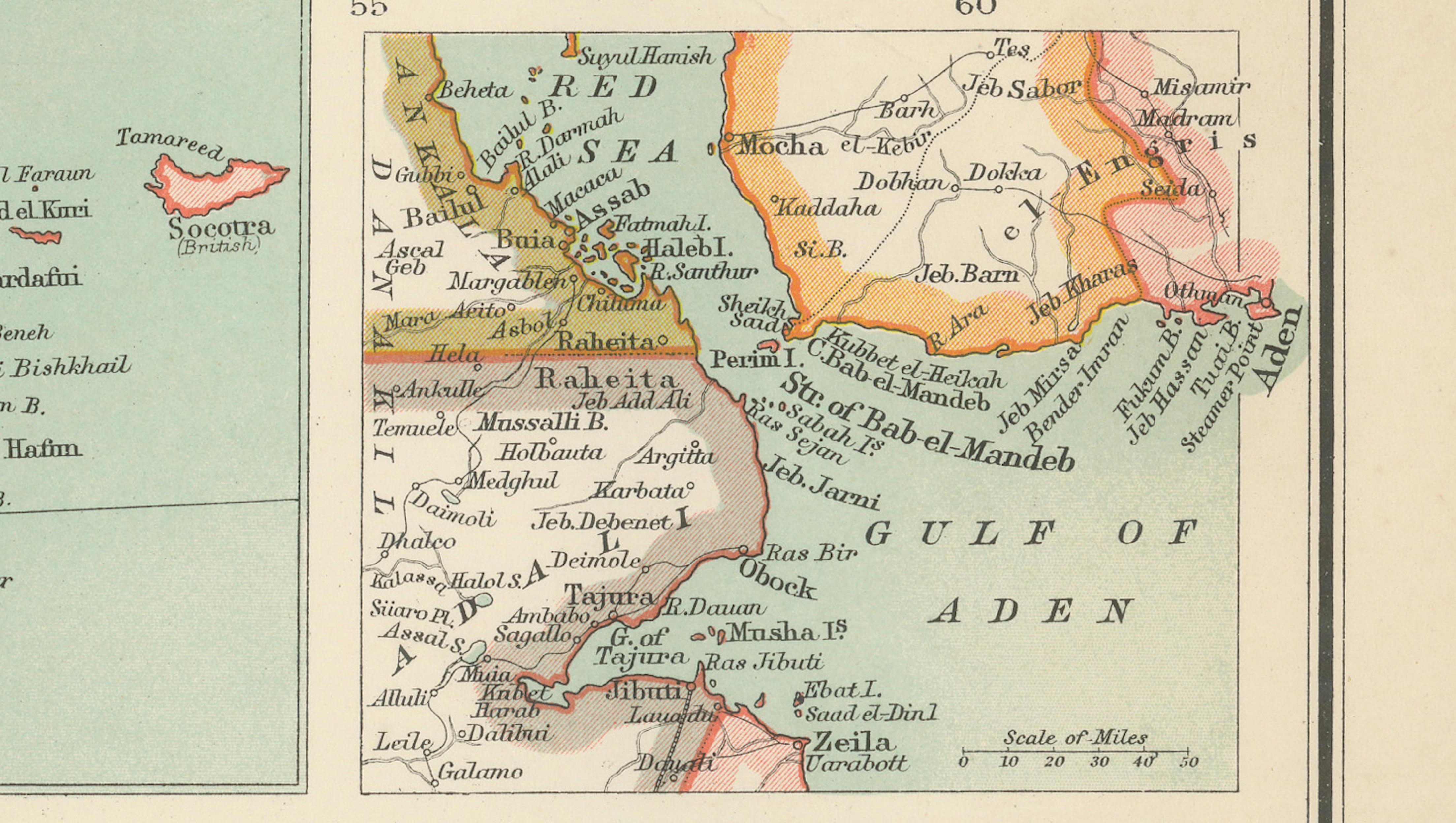
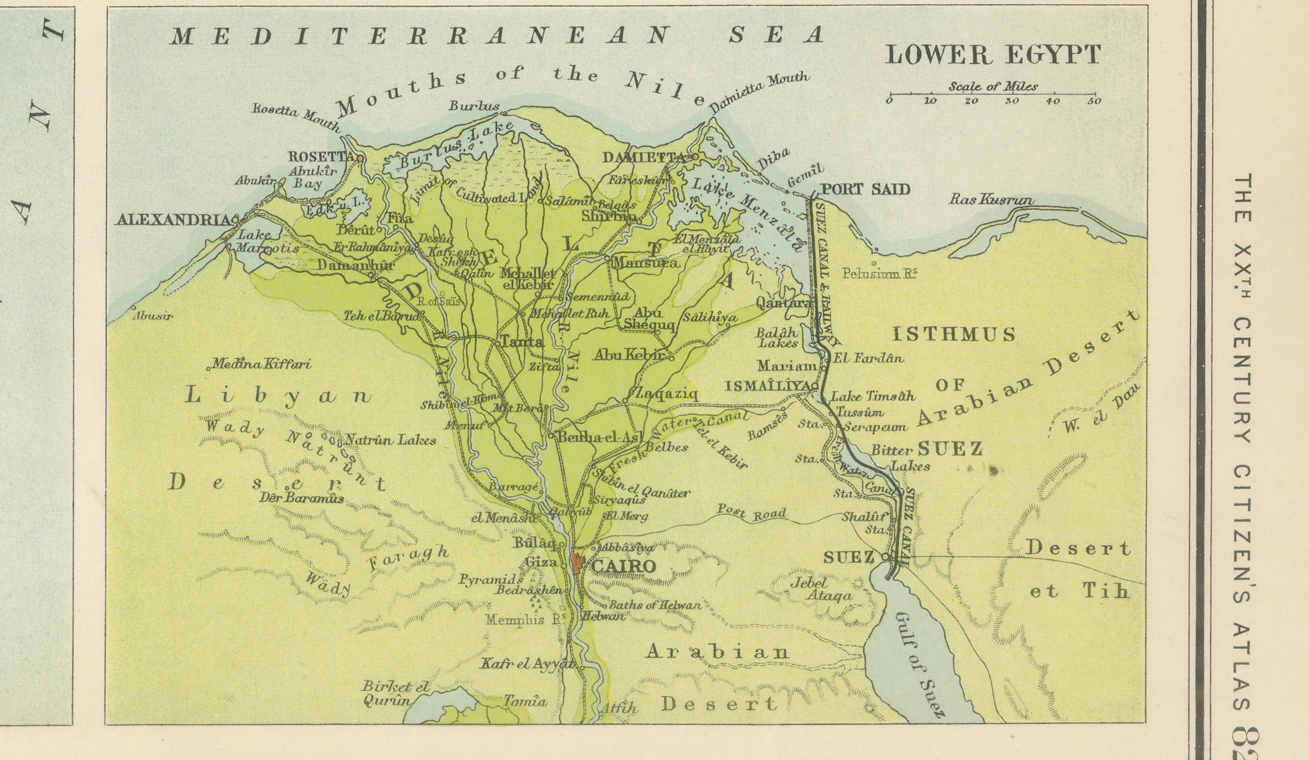
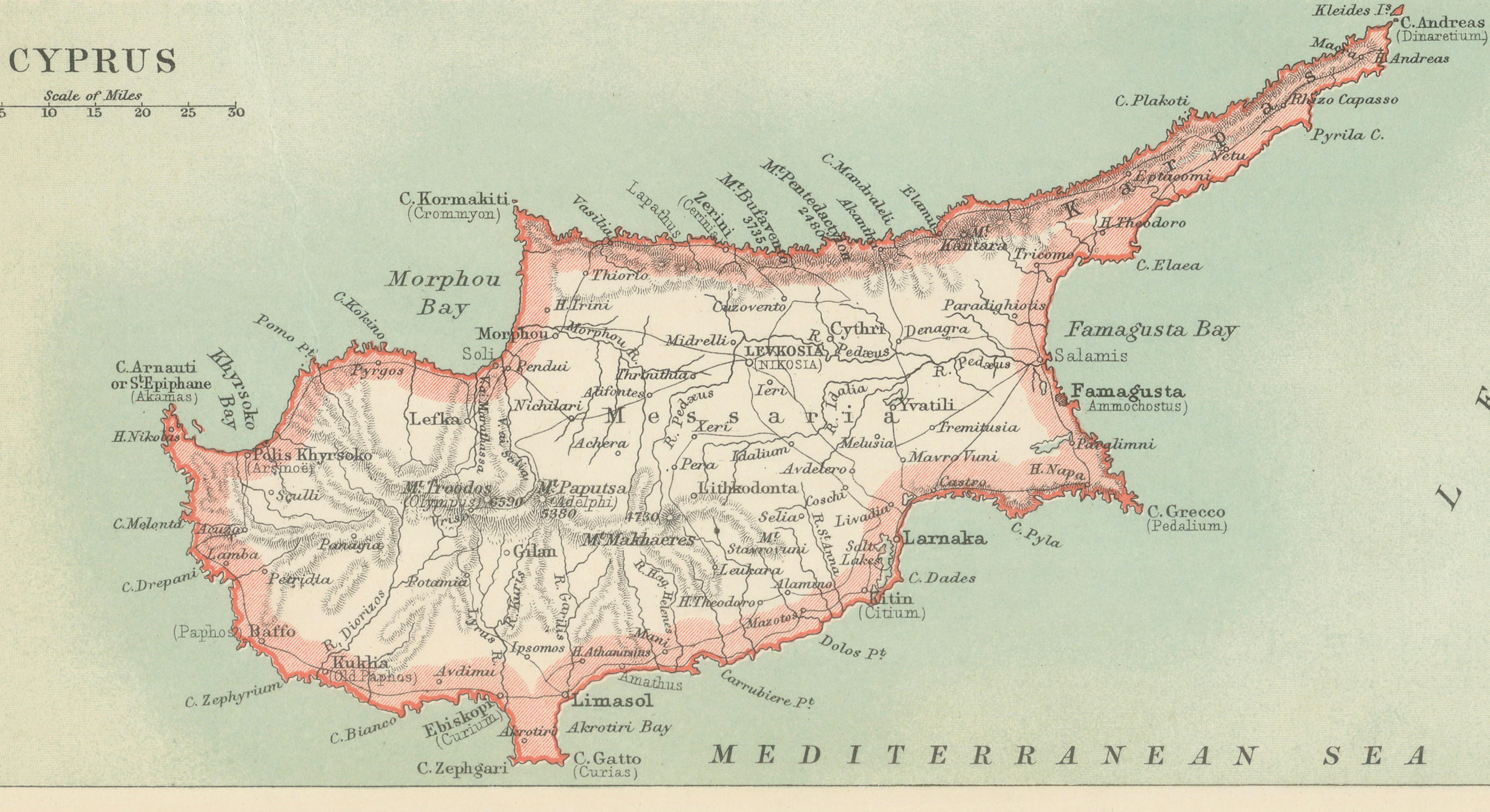
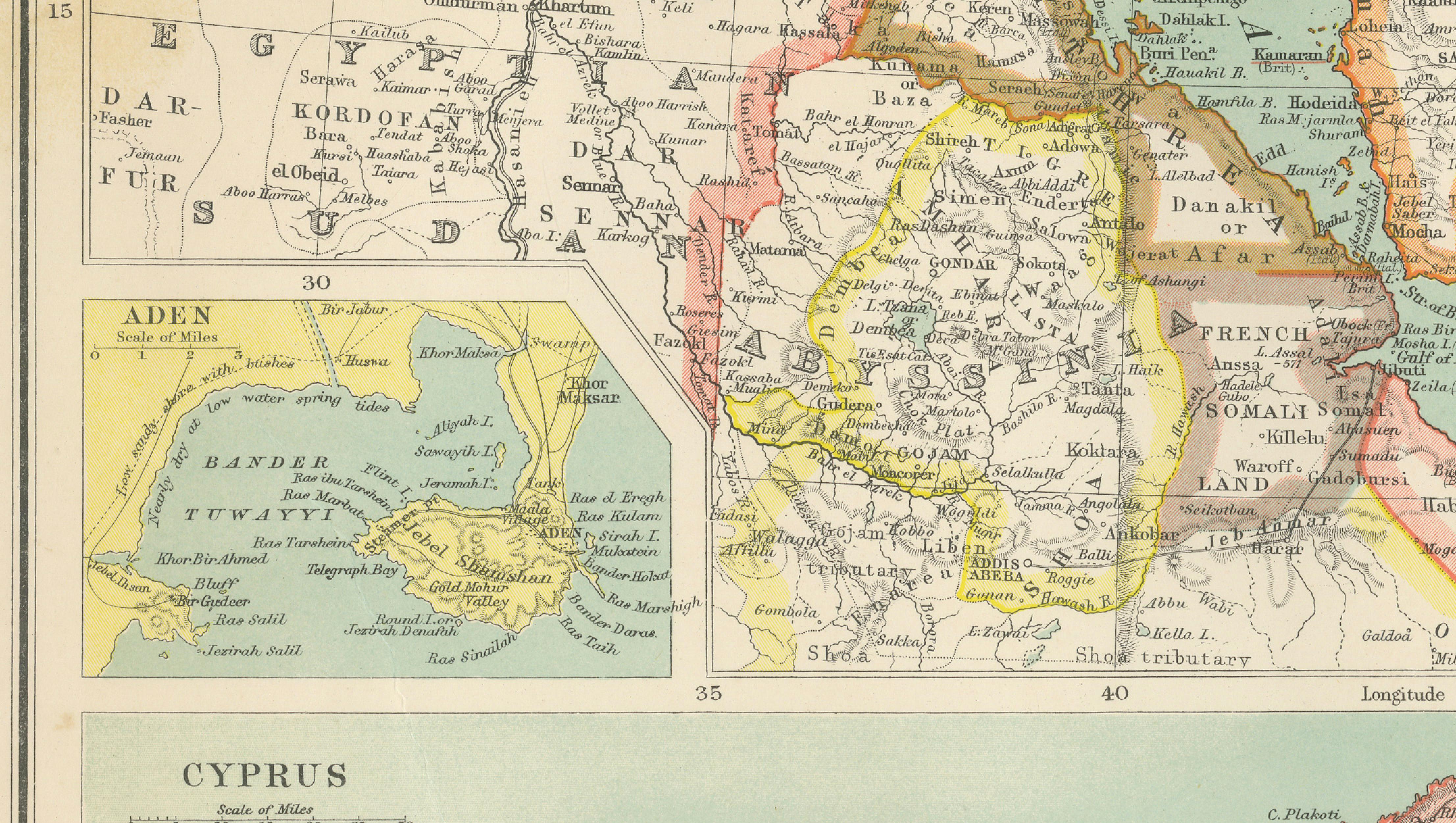
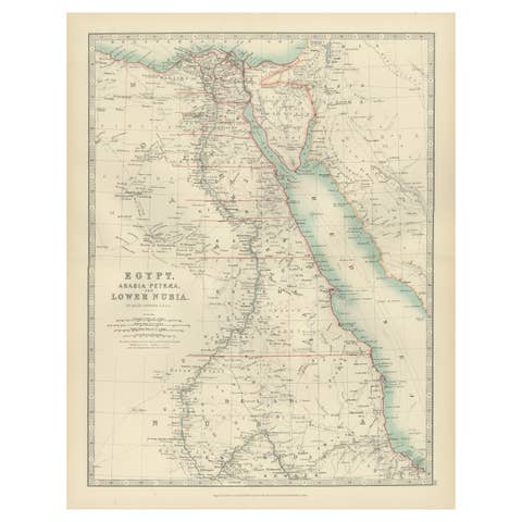
A major feature of this sheet is the inclusion of several inset maps, including Cyprus, Lower Egypt and the Nile Delta, Aden, and the strategically important Gulf of Aden and Bab-el-Mandeb region. These additions greatly enhance both the decorative and historical appeal of the piece, linking the Mediterranean world with Arabia, East Africa, and the maritime routes toward India and the Indian Ocean.
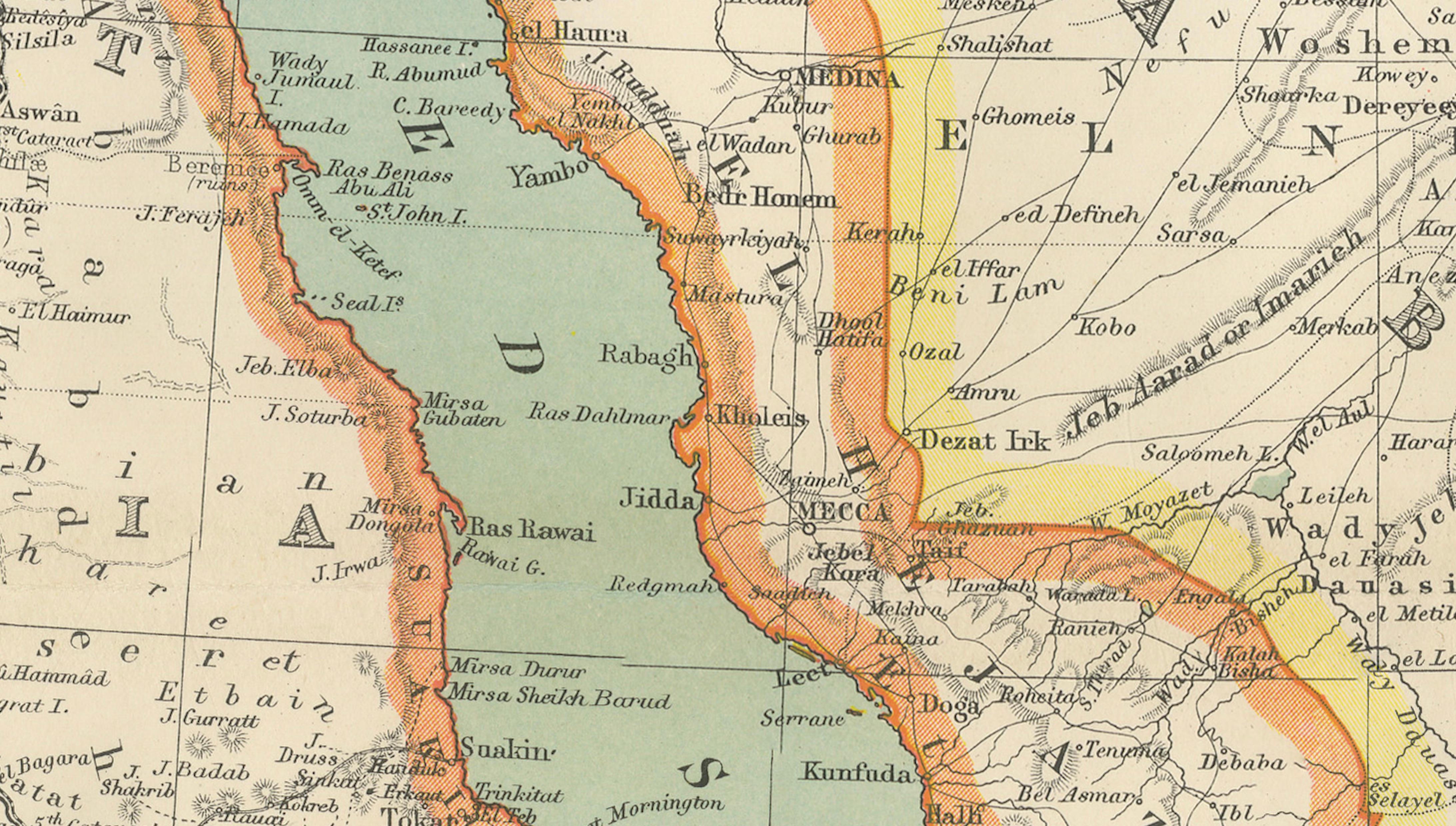
The Arabian Peninsula is depicted in impressive detail for the period, showing Mecca, Medina, Muscat, Sana’a, and numerous caravan routes and tribal regions across the deserts of Arabia. The Persian Gulf, Red Sea, and Black Sea frame the map beautifully, while Cairo, Baghdad, Damascus, Jerusalem, and Tehran anchor the major historic centers of the Islamic world and Near East.
This map has exceptional decorative presence and works particularly well in interiors inspired by Middle Eastern history, travel, exploration, colonial studies, or classical libraries. The soft coloration and geographic complexity make it highly suitable for large-format framing, especially in a dark walnut, ebonized, or gilt frame with a museum-style mat.
Condition: Good antique condition with age-related toning and occasional light foxing. Original center fold as issued. Minor handling wear and faint discoloration consistent with age. Please study image carefully.
Special note: This is an original antique map, not a reproduction. All items we offer are authentic period works of art over 100 years old. The piece is sold unframed; any framed images are shown for presentation and interior inspiration only and may not always be to scale.
Keywords: Turkey in Asia map, Arabia map, Persia map, Ottoman Empire, Middle East map, Cyprus map, Egypt map, Persian Gulf, Gulf of Aden, Red Sea, Arabia Felix, Iran map, Ottoman Turkey, Anatolia, Syria, Mesopotamia, Baghdad, Cairo, Jerusalem, Damascus, Mecca, Medina, Oman, Yemen, Aden, antique Middle East map, John Bartholomew, colonial cartography, Arabian Peninsula, historical atlas map
Technique: Color lithographic map
Maker: John Bartholomew & Co., Edinburgh, circa 1902