
Maps & PrintsBartele Gallery · Langweer
Home / Antique Maps / Asia / West Asia & the Holy Land

West Asia & the Holy Land · 18th century

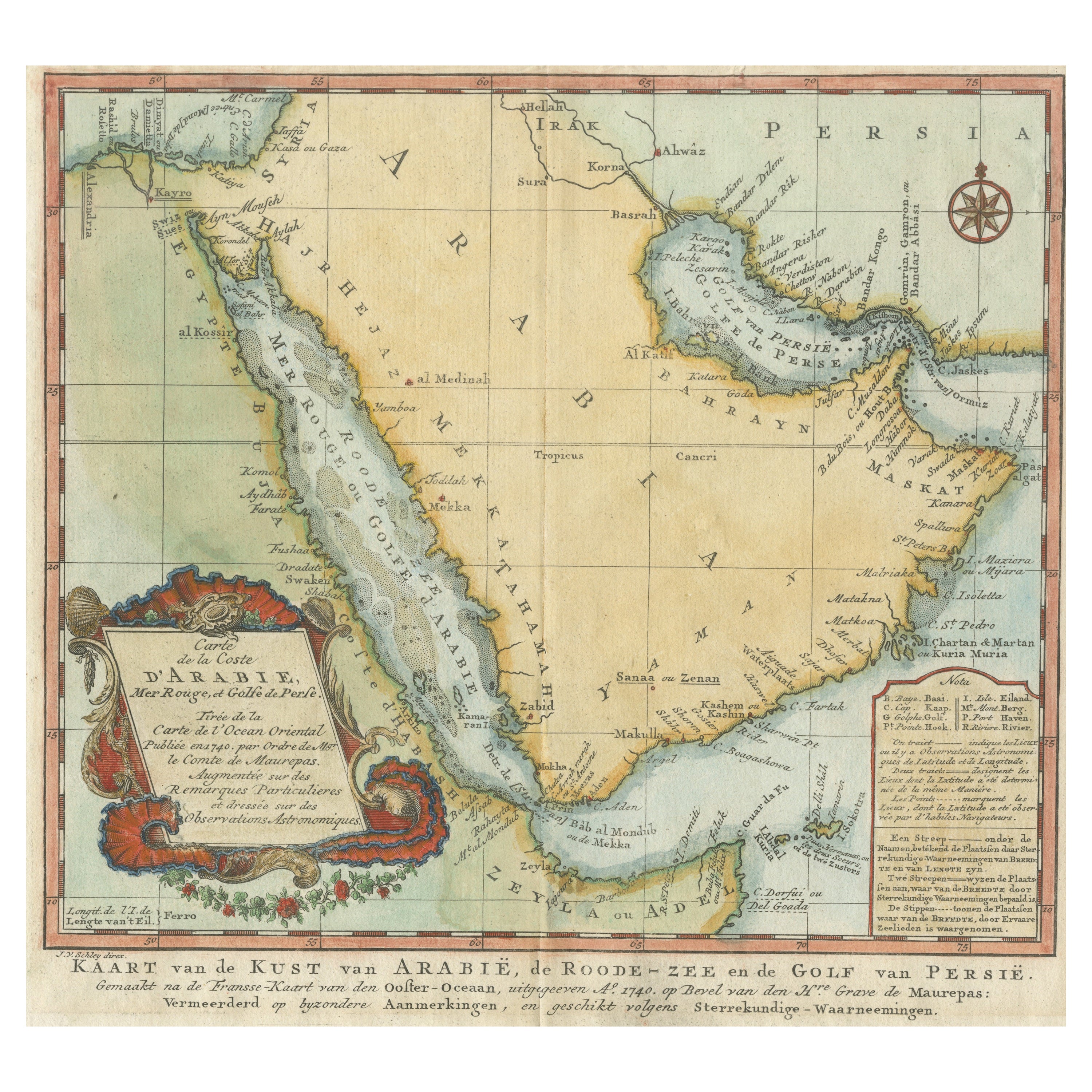
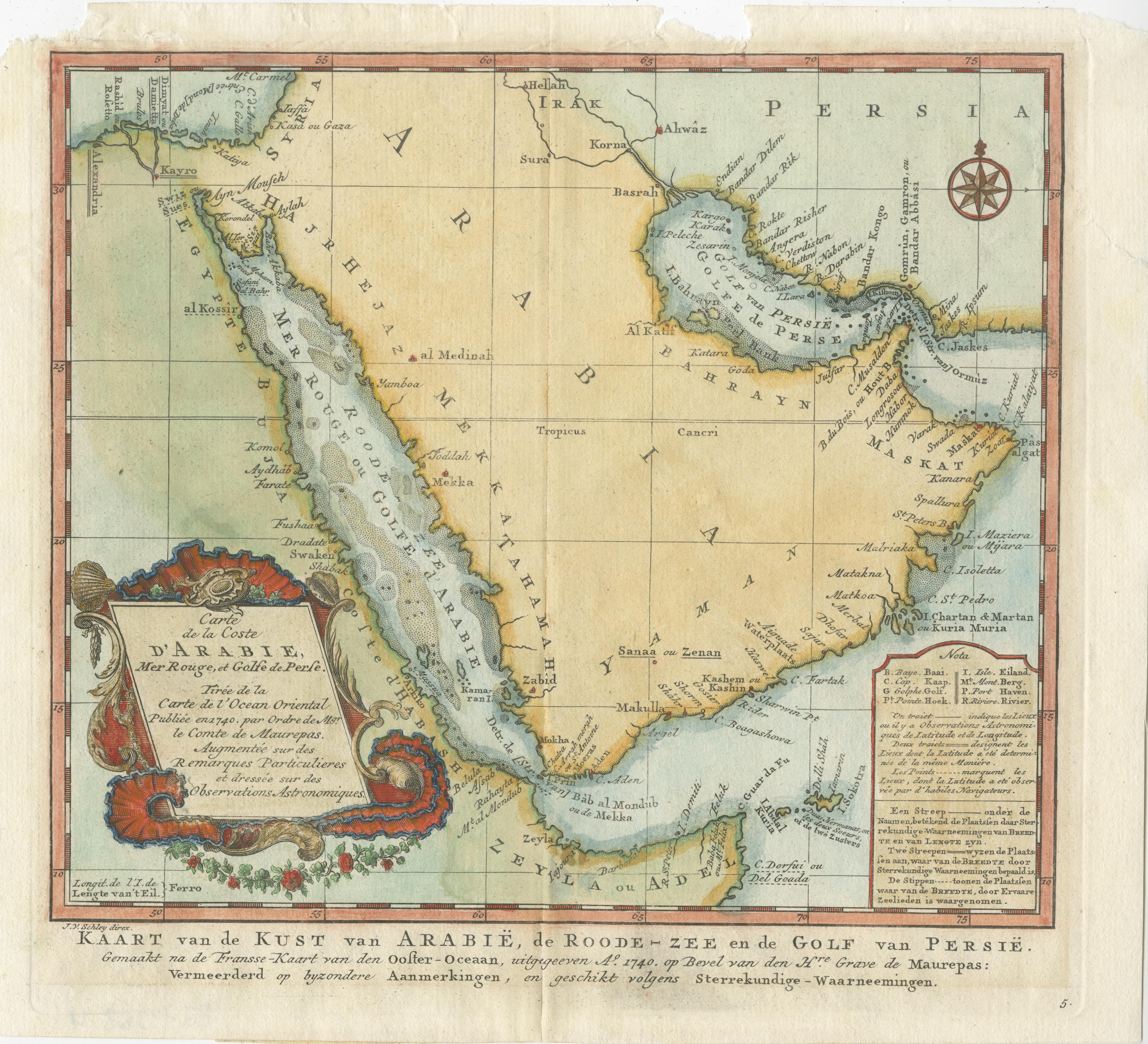
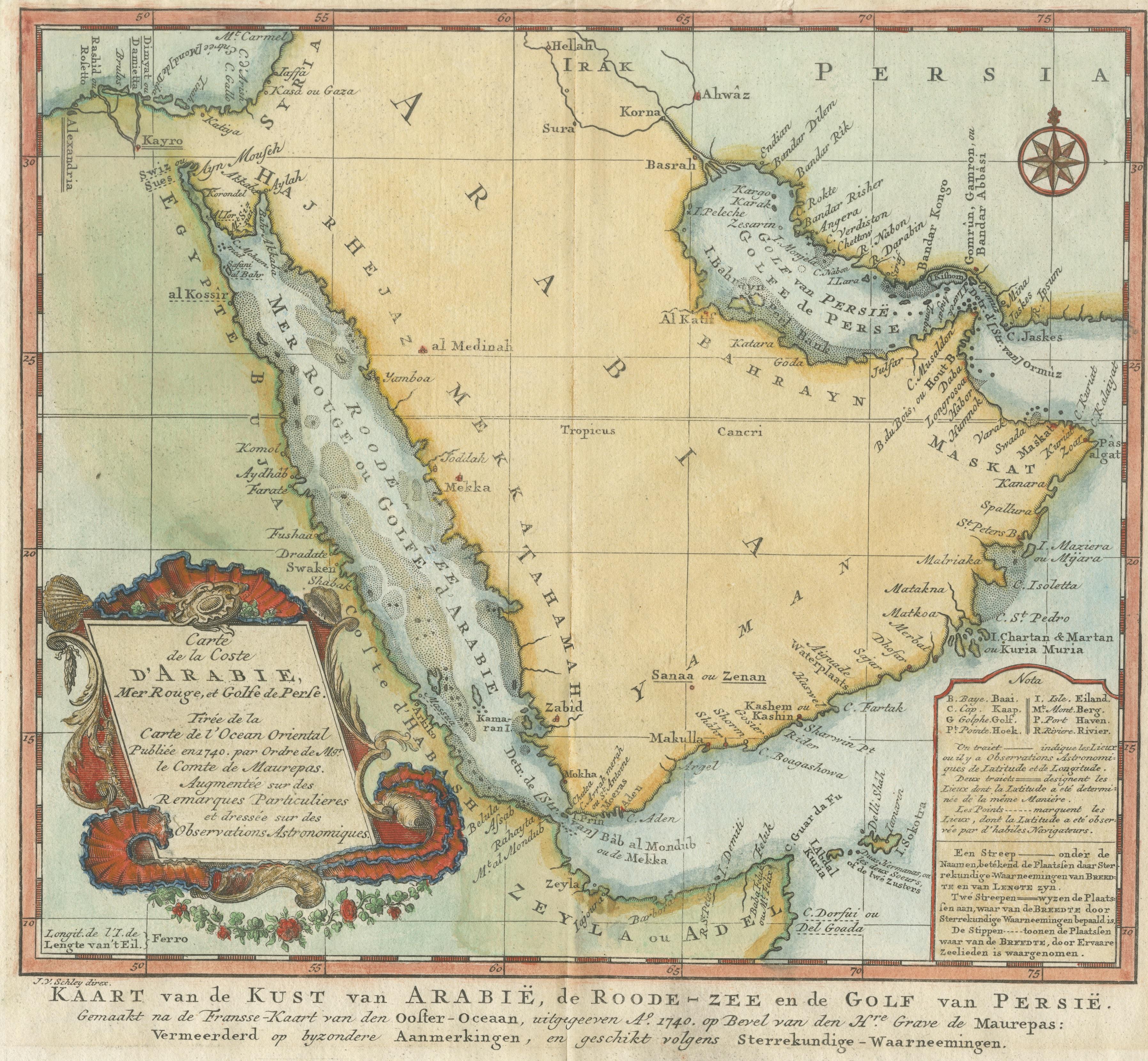
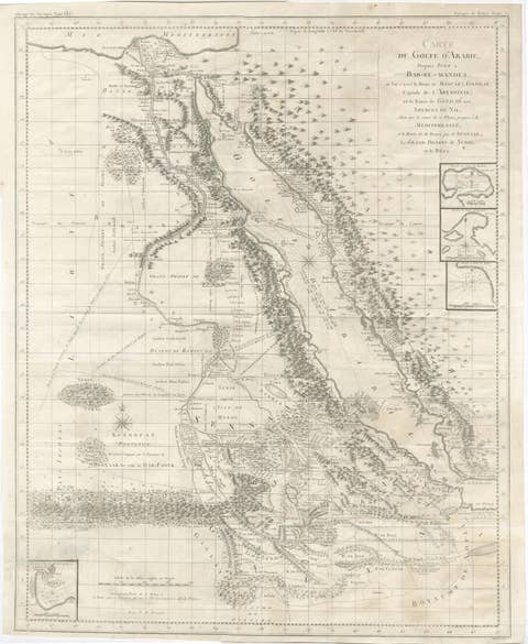
Original Antique Map of Arabia and the Red Sea, circa 1750

€ 470

One of a kind: this is the sheet in the photographs. Ships from Langweer, the Netherlands.

Date
1750
Sheet size
25.3 × 28.3 cm (10.0 × 11.1 in)
Condition
Fair
Reference
BG-13366-4

Condition

General age-related toning. A few defects, most in margins, only sl. affecting image. Some wear and soiling. Blank verso. Please study image carefully.
About this sheet

Antique map titled 'Carte de la Coste d'Arabie (..) - Kaart van de Kust van Arabië (..)'. This is a Dutch version, engraved by J. van Schley, of Bellin's map of Arabia and the Red Sea. The emphasis is the coastlines and the interior is primarily left blank. The shoals and navigational hazards in the Red Sea and the pearl banks off the coast of Bahrain are also noted. The Persian Gulf is depicted too wide and too far north. This map is more elaborately decorated with a flourishing title cartouche and a compass rose. Originates from a Dutch edition of Prevost's 'Histoire Generale des Voyages' published circa 1750.

More from West Asia & the Holy Land

Ask about this sheet

Original Antique Map of Arabia and the Red Sea, circa 1750
1750 · Ref. BG-13366-4 · € 470
We reply by email, usually within one working day.