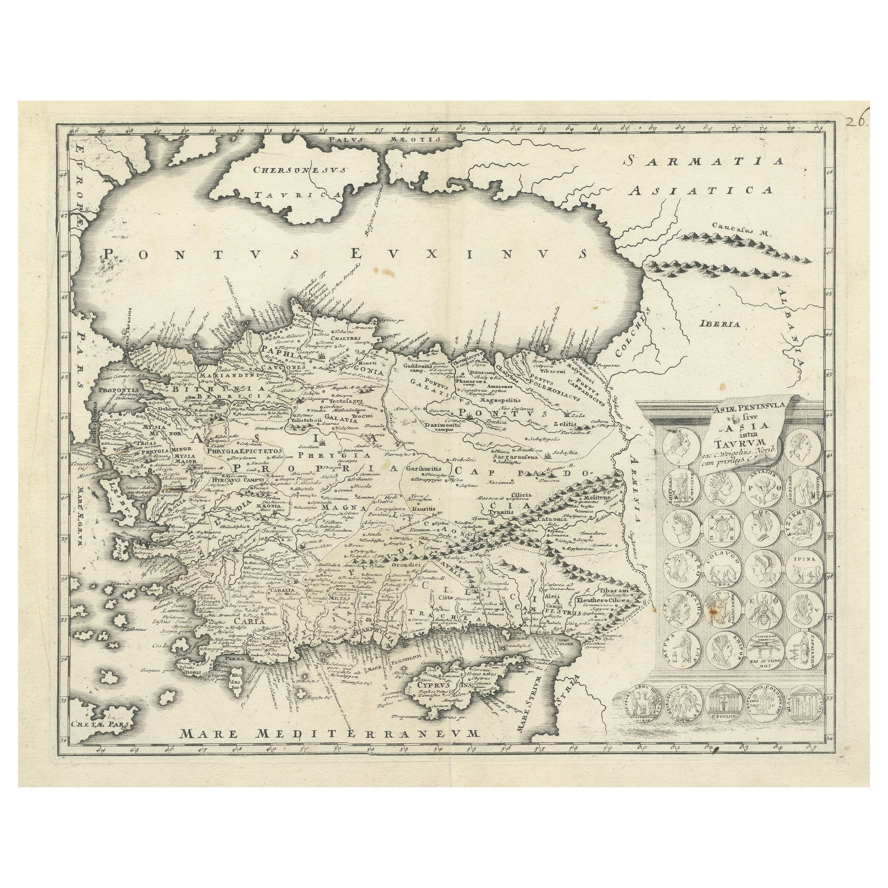
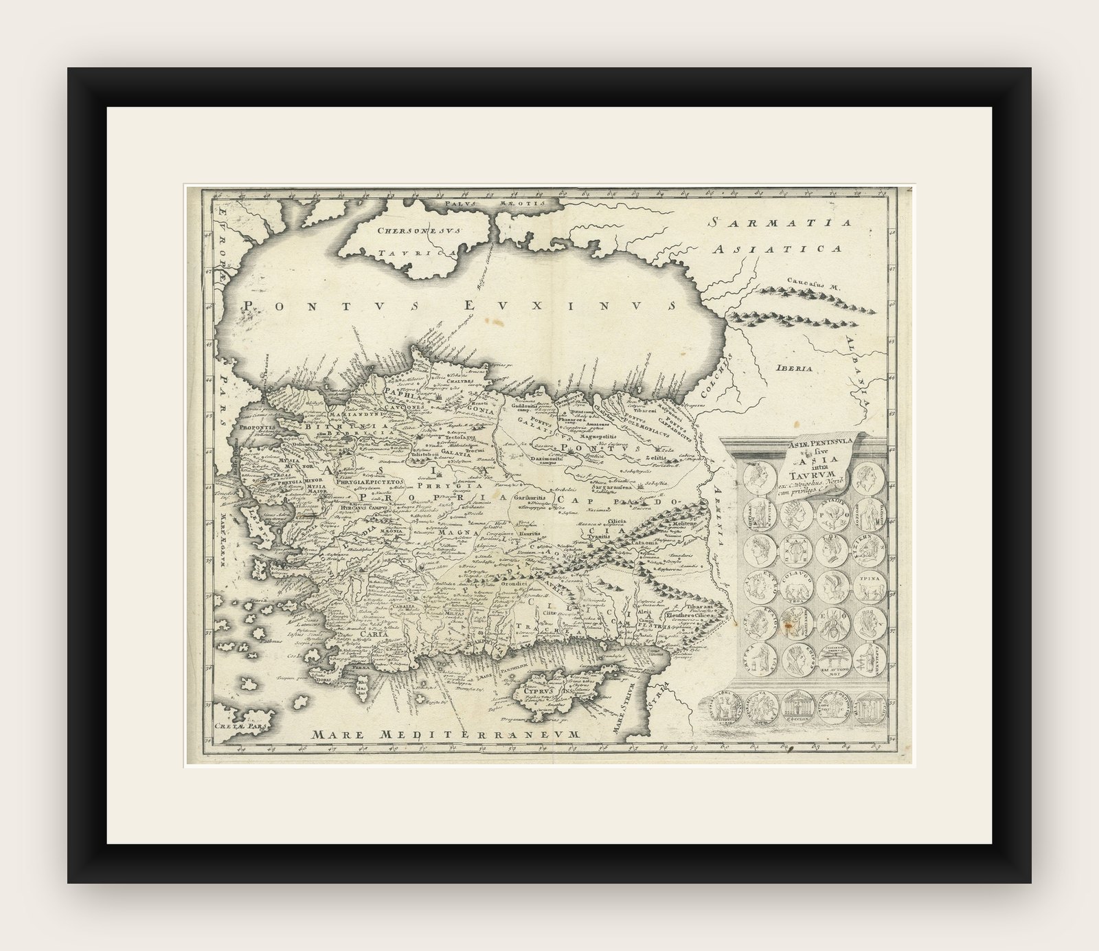
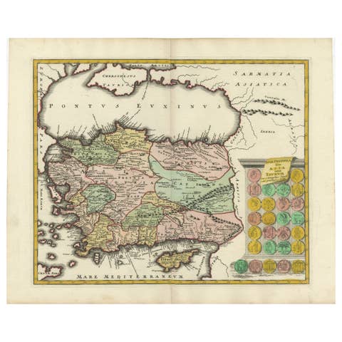
Map of Asia Minor & Cyprus with Medallions – Weigel Engraving c.1720
€ 470
Original antique · The actual sheet photographed · Certificate of authenticity on request · Sold unframed · Worldwide shipping from € 15 (rates)
Date
1720
Sheet size
38.2 × 47.7 cm (15.0 × 18.8 in)
Condition
Good
Reference
BG-13572
What the condition grades mean
Excellent
Bright and clean, with no faults worth mentioning.
Very good
Only light signs of age, such as faint toning.
Good
Normal signs of age for a sheet of this period: toning, some foxing, small marks or neat old repairs.
Fair
Clear faults such as staining, tears or repairs, priced to match.
Every fault we see is written in the condition note, and the whole sheet is shown uncropped in the photos.
Condition
Overall very good condition with light age toning and a central fold, as issued. Slight edge wear and minor foxing confined to margins. Strong plate impression and clear detail throughout.
About this sheet
Map of Asia Minor & Cyprus with Medallions – Weigel Engraving c.1720
This finely engraved antique map, titled Asiae Peninsula sive Asia intra Taurum, presents an early 18th-century interpretation of Asia Minor and Cyprus as understood in classical antiquity. The map, published by Christoph Weigel around 1720, offers a comprehensive look at the region stretching from the Taurus Mountains to the Aegean and Mediterranean Seas, including ancient territories such as Lydia, Lycia, Cappadocia, and Cilicia.
The visual composition is further enriched by 27 detailed medallion engravings at the right margin, representing classical figures, emperors, or mythological scenes, lending the map both historical depth and decorative appeal. These vignette-style embellishments reflect Weigel’s commitment to producing maps that were not only informative but also visually engaging for the educated audience of the Enlightenment.
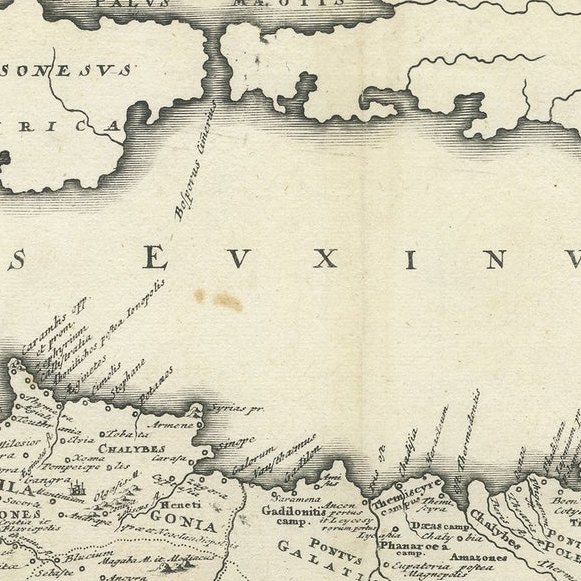
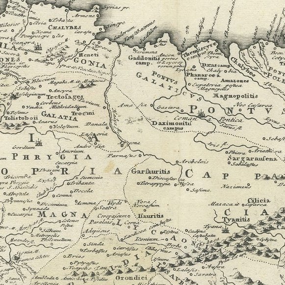
The map is adorned with Latin labels and place names corresponding to Roman-era geography, making it an excellent tool for scholars or collectors interested in the classical world. The island of Cyprus is prominently depicted, along with major cities such as Ephesus, Antioch, Tarsus, and Iconium (modern Konya). The terrain is rendered in fine hachuring, and the coastal regions are marked with ancient harbors and towns.
Christoph Weigel (1654–1725) was a German engraver and publisher based in Nuremberg, renowned for his detailed historical maps, city plans, and scientific illustrations. His works are prized for their craftsmanship, clarity, and the integration of cartographic information with historical references.
Condition report: Overall very good condition with light age toning and a central fold, as issued. Slight edge wear and minor foxing confined to margins. Strong plate impression and clear detail throughout.
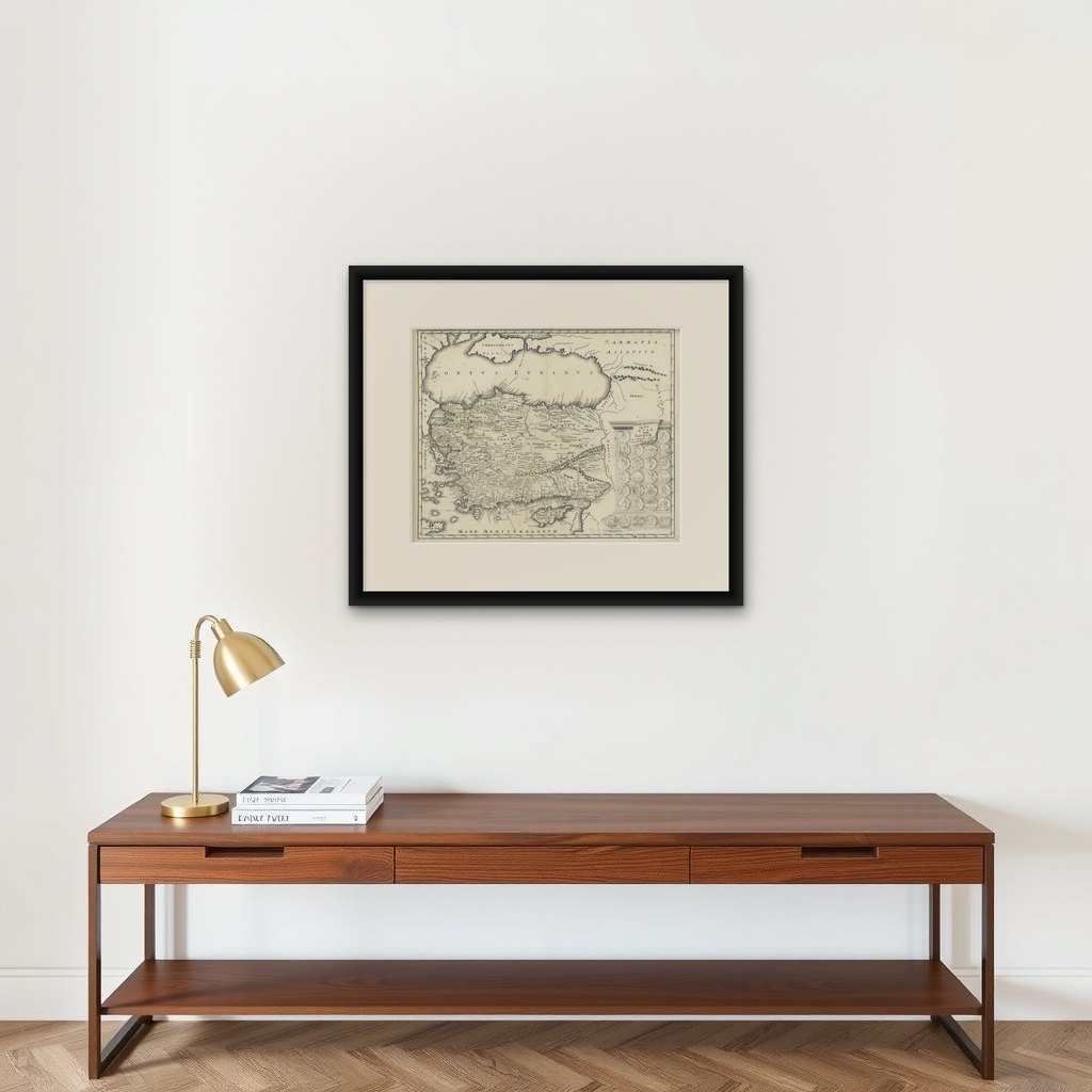
Framing tips: Ideal for display in a classic dark wood or gilded frame with a neutral or parchment-toned mount to highlight the engraved details and period aesthetics.