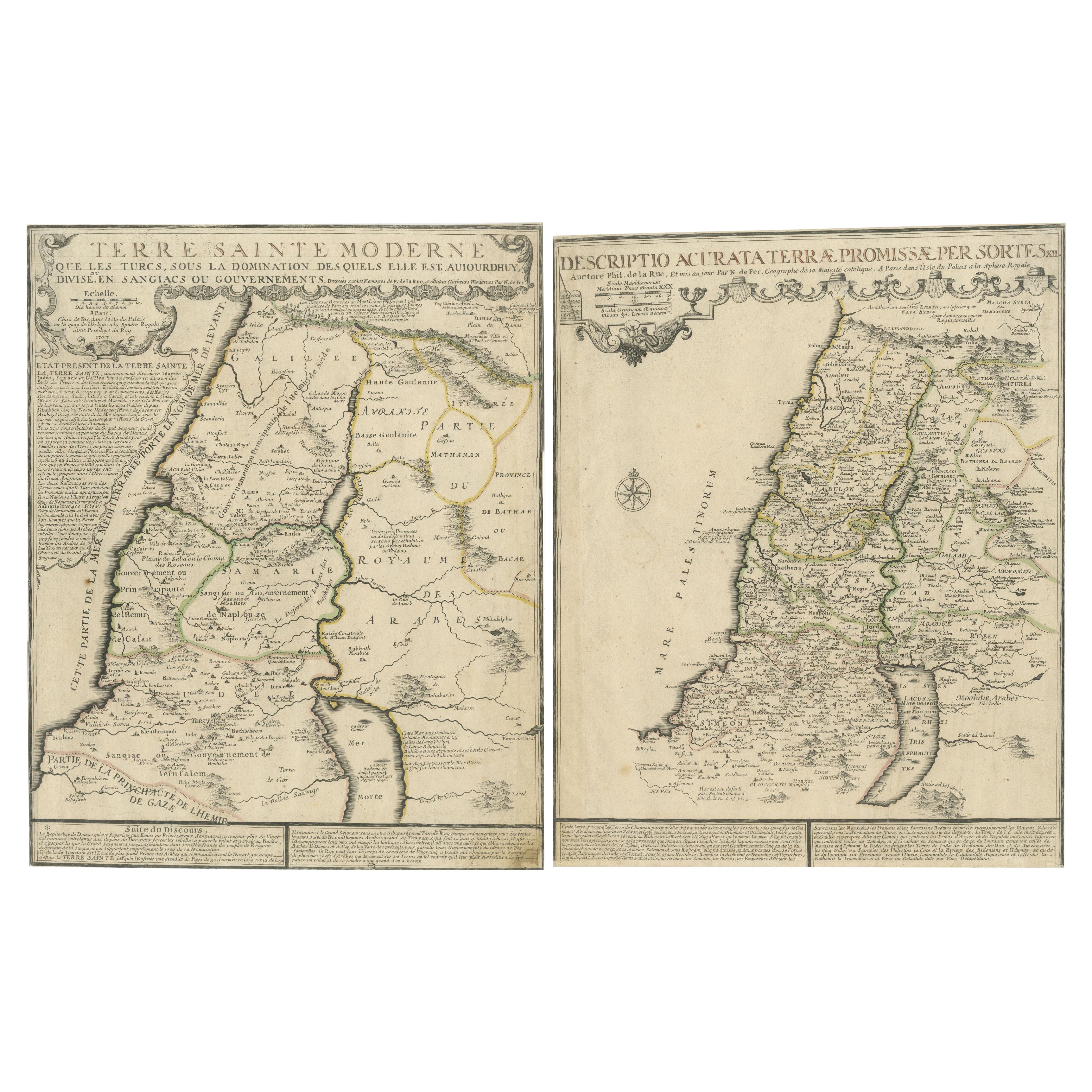
1720 Maps of the Holy Land: Ancient and Modern by De Fer and Danet
€ 640
One of a kind: this is the sheet in the photographs. Ships from Langweer, the Netherlands.
Date
1720
Sheet size
46 × 36.5 cm (18.1 × 14.4 in)
Condition
Fair
Reference
BG-14040-5 & BG-14040-6
Condition
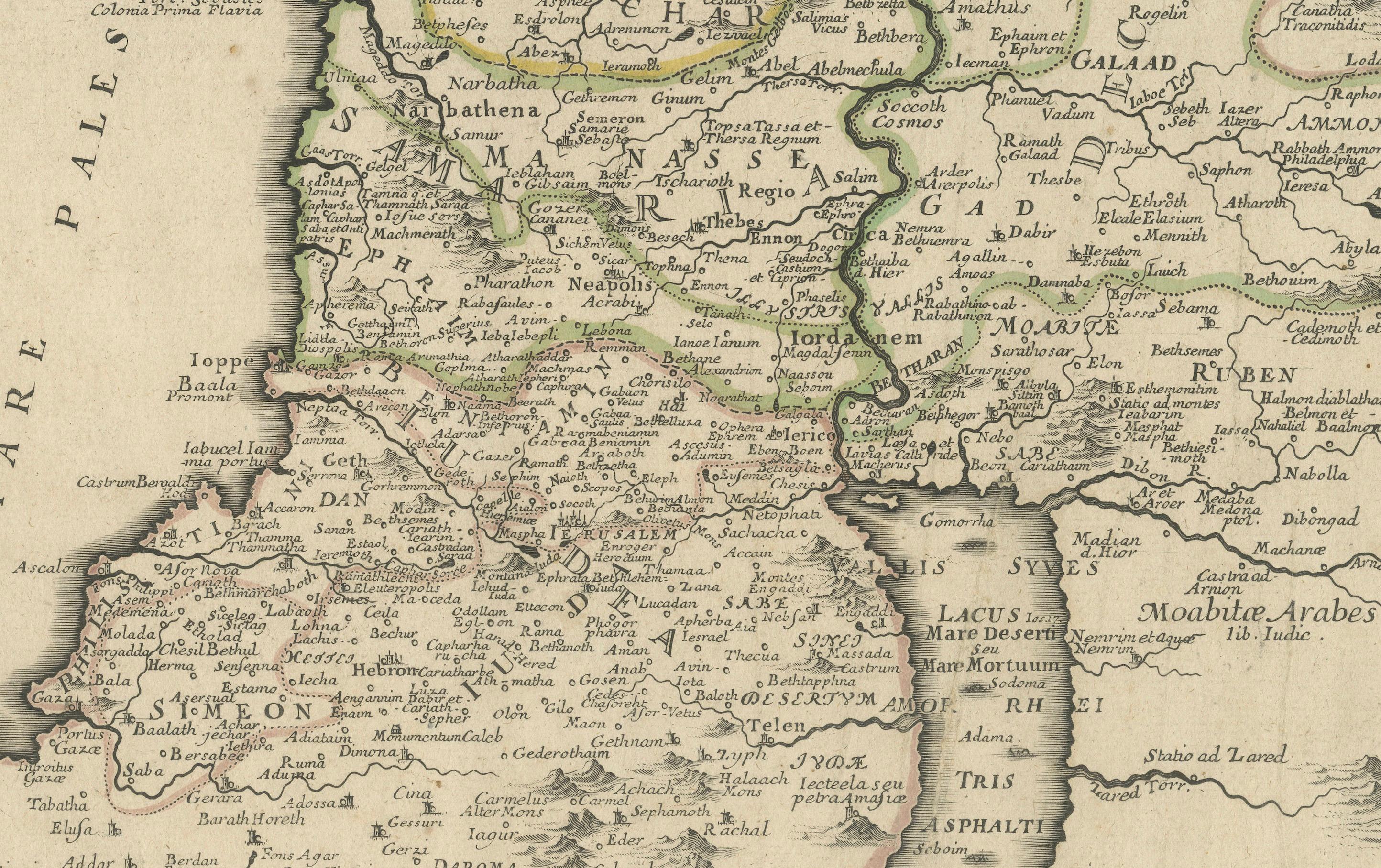
Both maps have margins cut close to the image borders and are backed with strong paper for reinforcement. The original outline colors remain vibrant, enhancing the maps’ historical charm. Please study the images carefully.
About this sheet
1720 Maps of the Holy Land: Ancient and Modern by De Fer and Danet
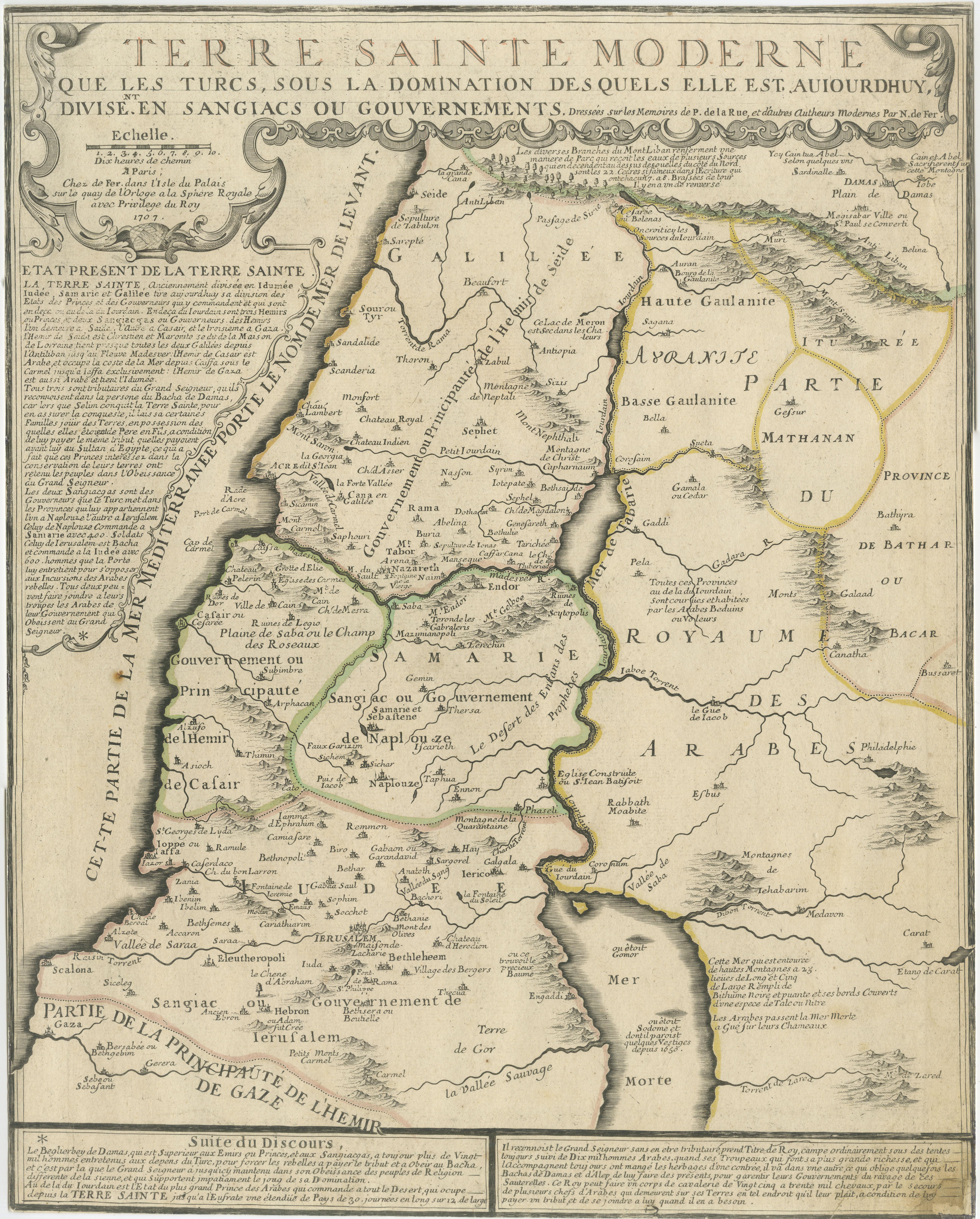
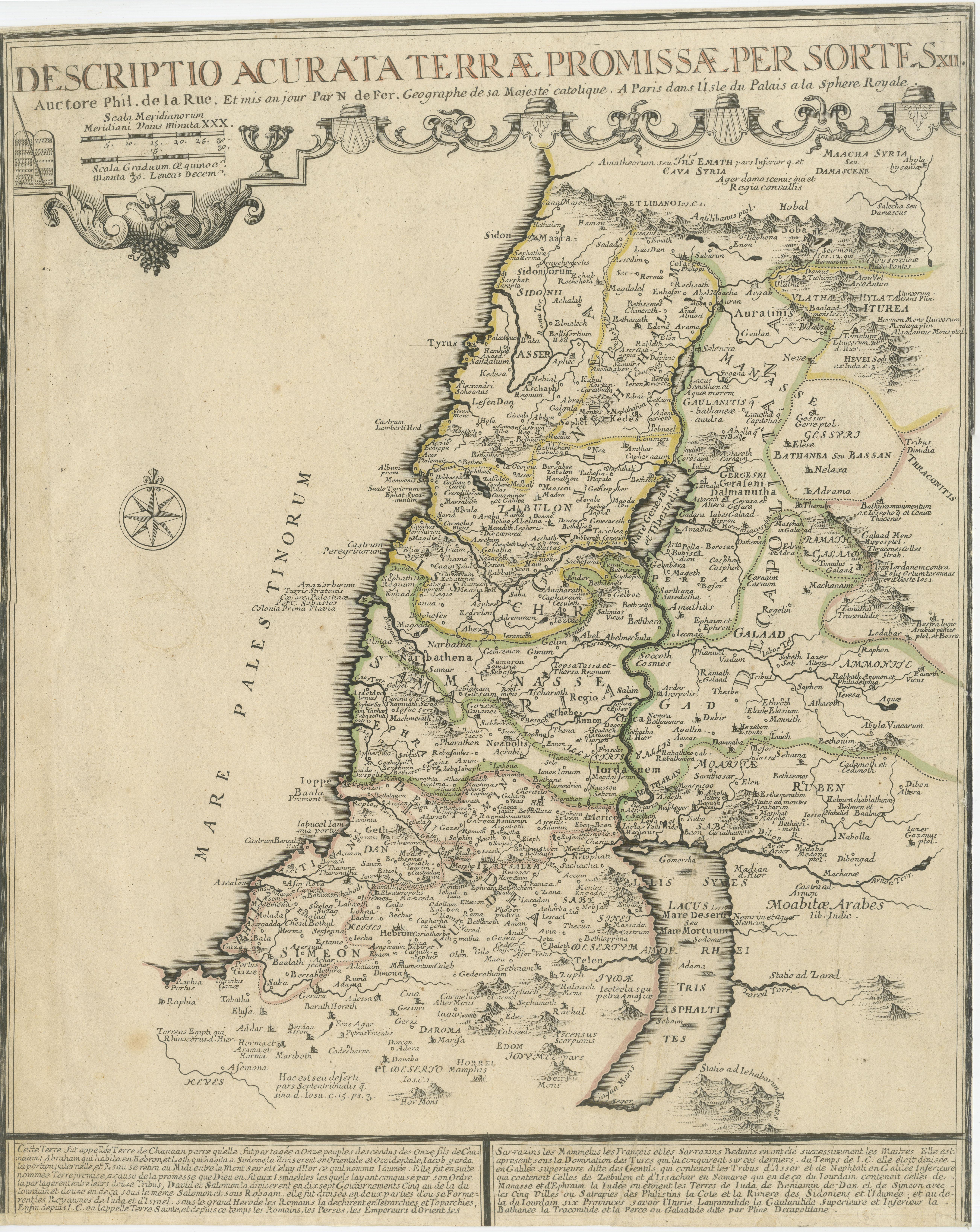
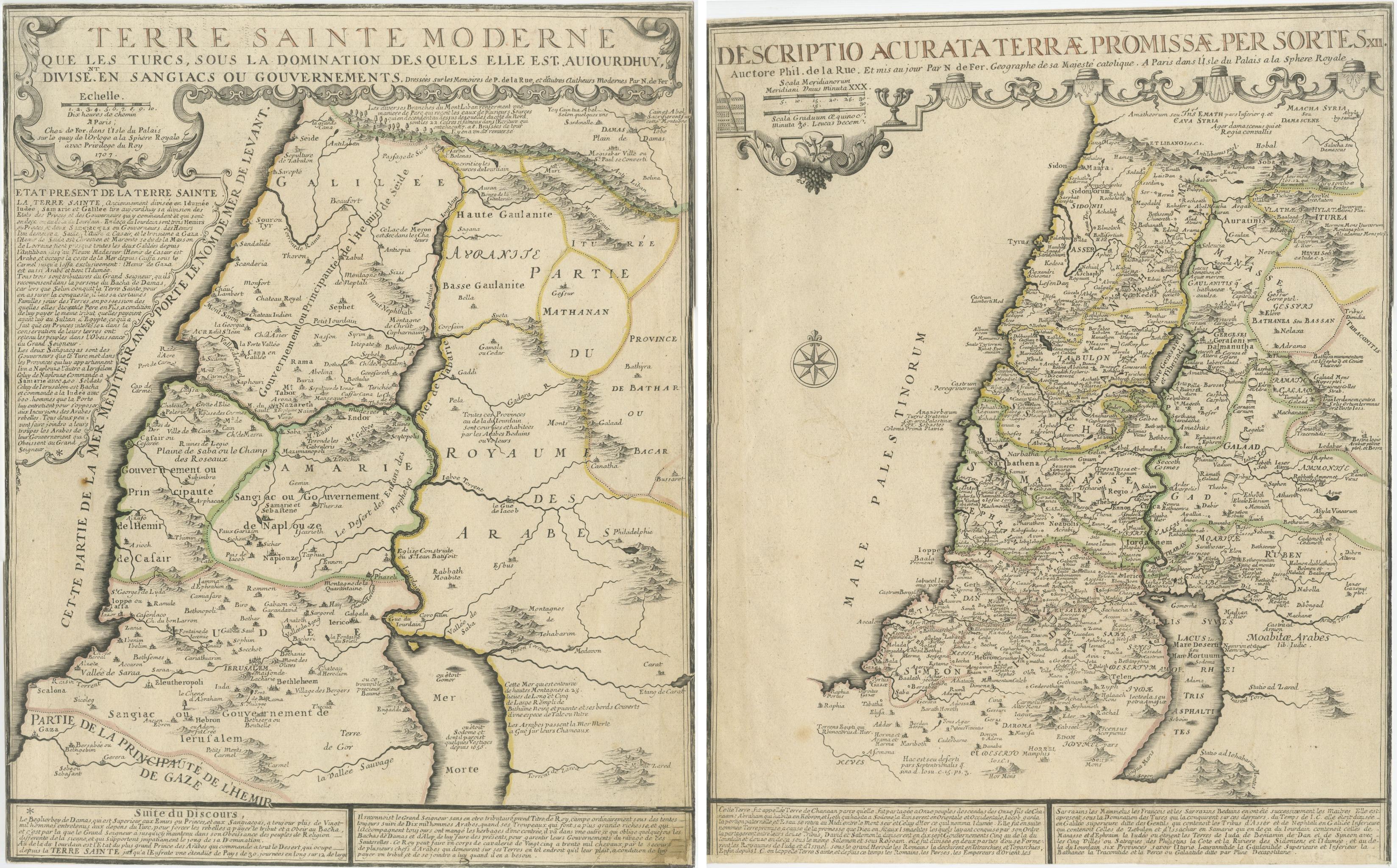
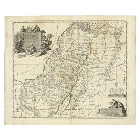
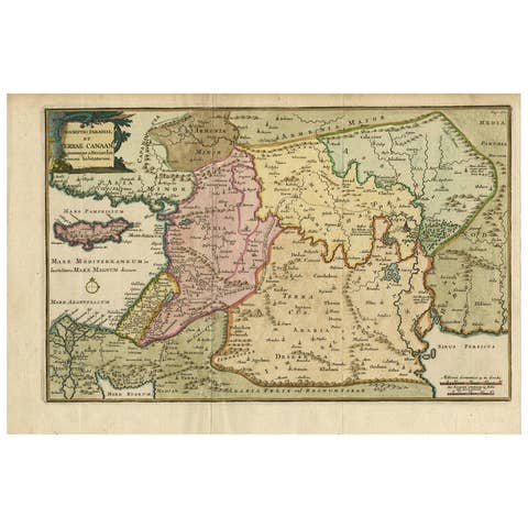
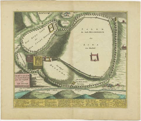
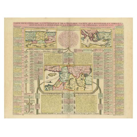
This set of two 1720 maps, published by Nicolas de Fer and Danet in Paris, presents a unique juxtaposition of the Holy Land during ancient times and its modern configuration under Turkish rule. These maps, based on the work of Philippe de la Rue, are intricately detailed and hand-colored in original outline hues, offering a vivid depiction of the region's geographical and historical evolution.
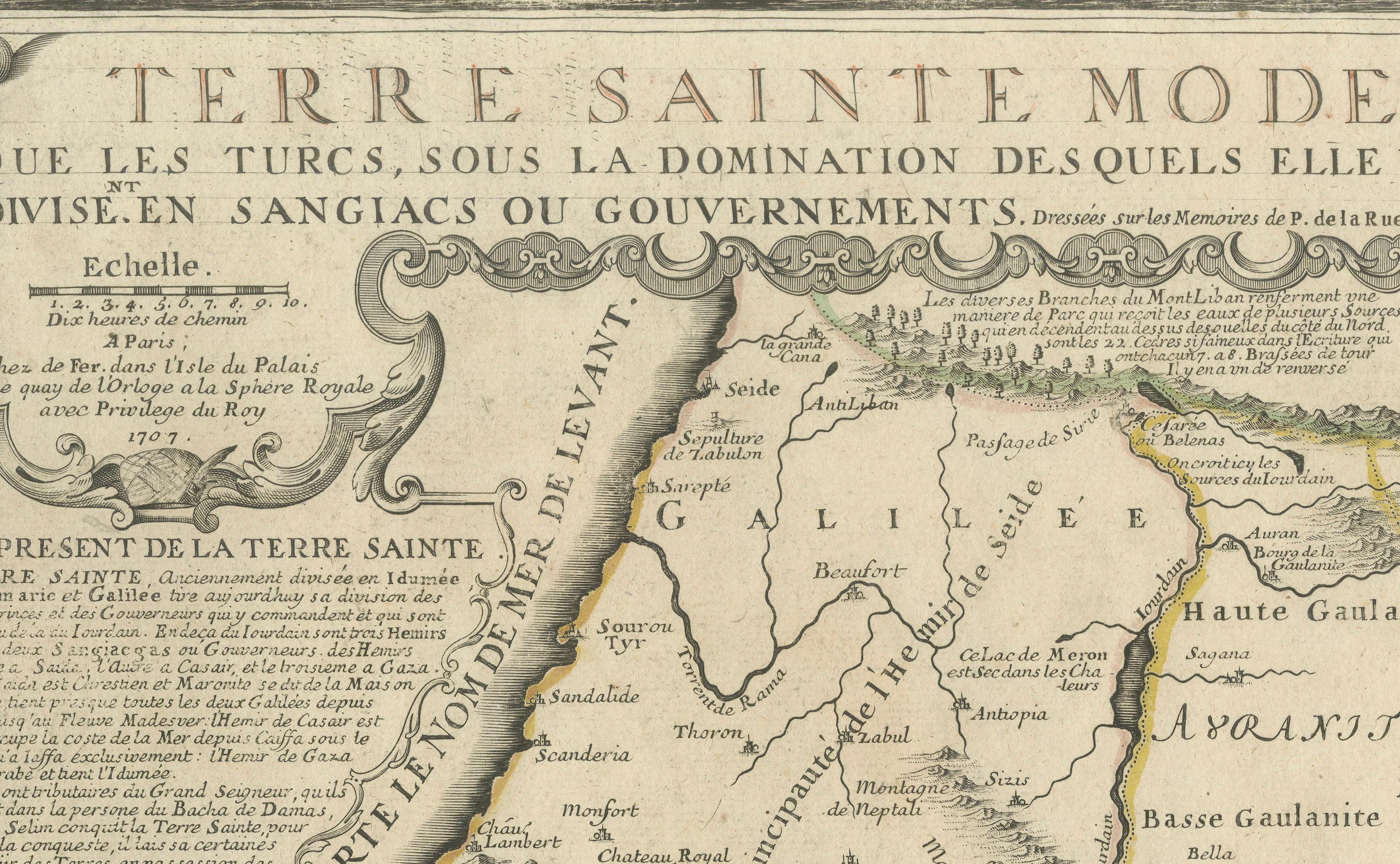
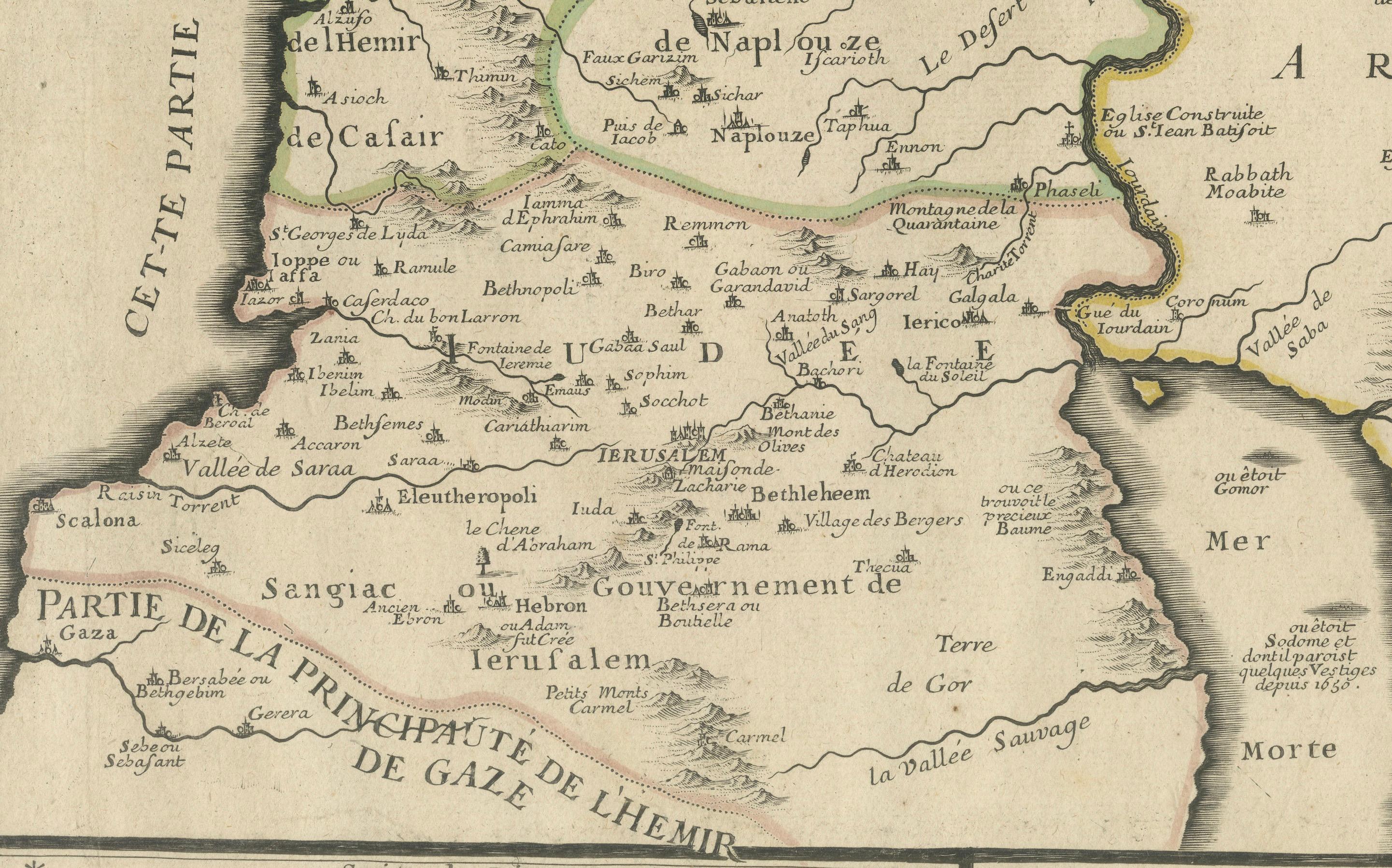
The first map, "Terre Sainte Moderne," showcases the Holy Land as governed by the Turks in the early 18th century. It meticulously illustrates the region's division into administrative areas (sangiacs or governments), highlighting key towns, routes, and natural features. The extensive notes in French provide valuable insights into the area's political and geographical landscape during this period.
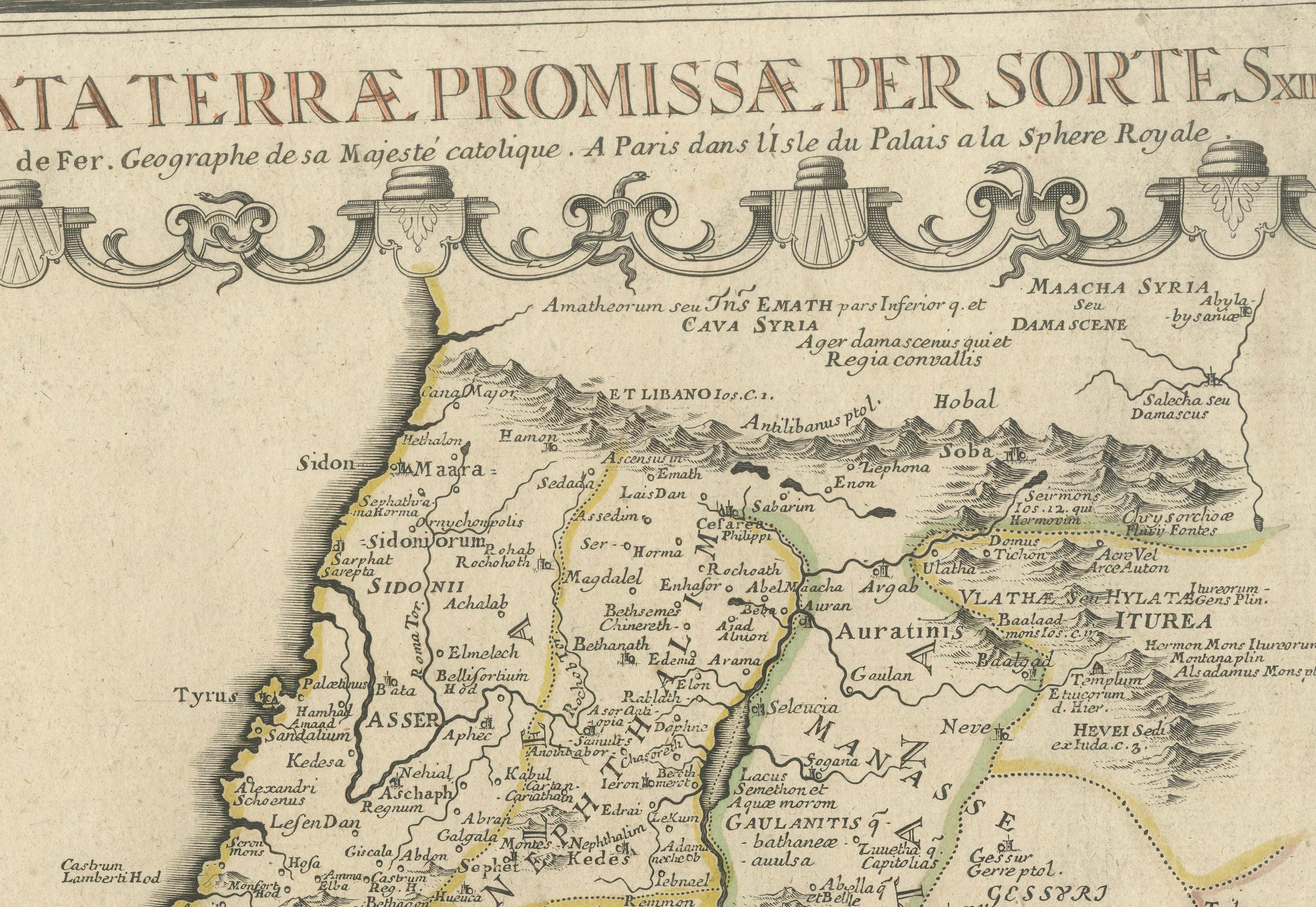
The second map, "Descriptio Acurata Terrae Promissae per Sortes," depicts the ancient Holy Land as described in biblical texts, specifically the territorial divisions among the 12 tribes of Israel. This map is a remarkable representation of the promised land's rich history, featuring key biblical sites and references to significant events.
Both maps are adorned with decorative cartouches and compass roses, reflecting the artistic style and craftsmanship of early 18th-century cartography. The detailed labeling and thoughtful design make these maps not only valuable historical documents but also exquisite decorative pieces.
Condition Report: Both maps have margins cut close to the image borders and are backed with strong paper for reinforcement. The original outline colors remain vibrant, enhancing the maps’ historical charm.
Framing and Matting Tips: For a sophisticated display, frame each map individually with an archival mat in neutral tones to complement the delicate colors. Consider using matching antique-style frames to create a harmonious set. UV-protective glass is essential to safeguard the original colors. Including a custom plaque or description with each frame can further highlight their historical and artistic significance. Displaying the maps side by side can create an engaging narrative of the Holy Land's transformation over time.