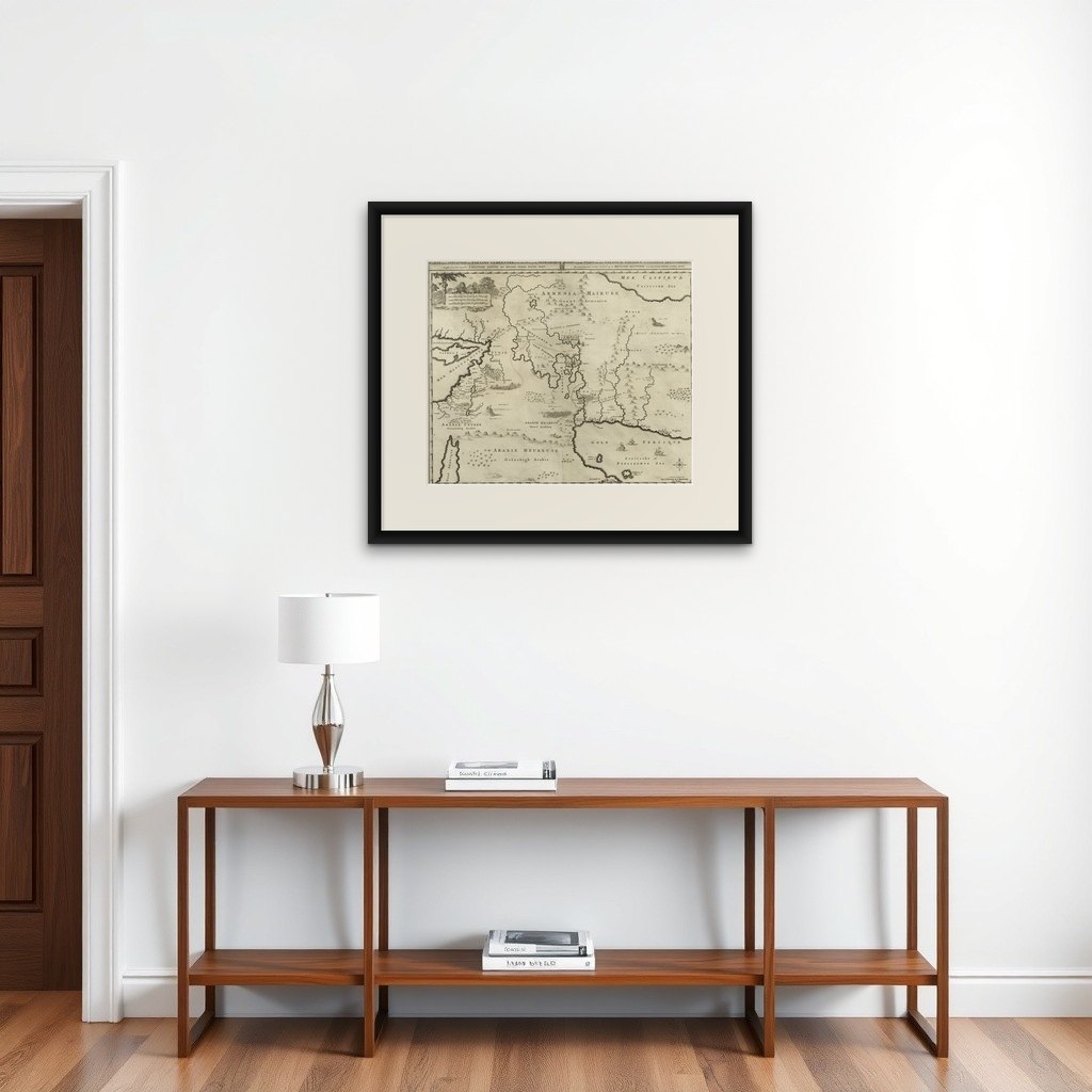
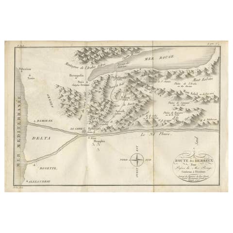
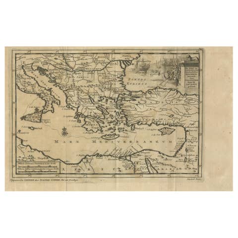
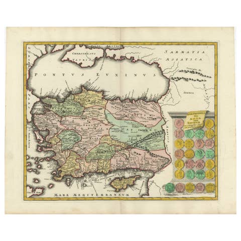
Biblical Map of the Region from the Mediterranean through the Persian Gulf, 1720
€ 480
Original antique · The actual sheet photographed · Certificate of authenticity on request · Sold unframed · Worldwide shipping from € 15 (rates)
Date
1720
Sheet size
43.4 × 51 cm (17.1 × 20.1 in)
Condition
Good
Reference
PCT-61932
What the condition grades mean
Excellent
Bright and clean, with no faults worth mentioning.
Very good
Only light signs of age, such as faint toning.
Good
Normal signs of age for a sheet of this period: toning, some foxing, small marks or neat old repairs.
Fair
Clear faults such as staining, tears or repairs, priced to match.
Every fault we see is written in the condition note, and the whole sheet is shown uncropped in the photos.
Condition
Given age. A few minor crinkles. Two mall creases in the right margin. Some tiny unobtrusive spots. Original middle fold as issued. General age-related toning and/or occasional minor defects from handling. Please study image carefull.
About this sheet
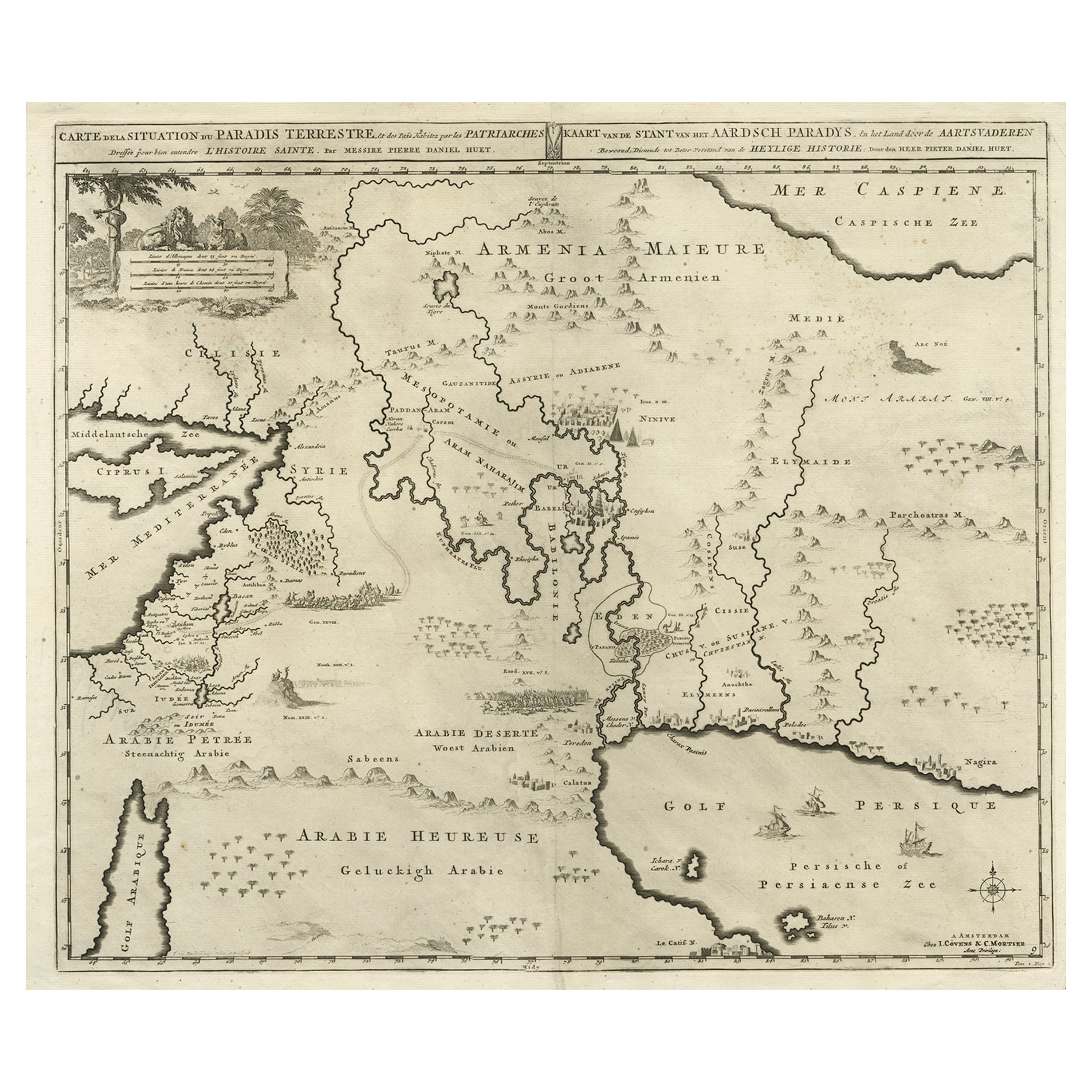
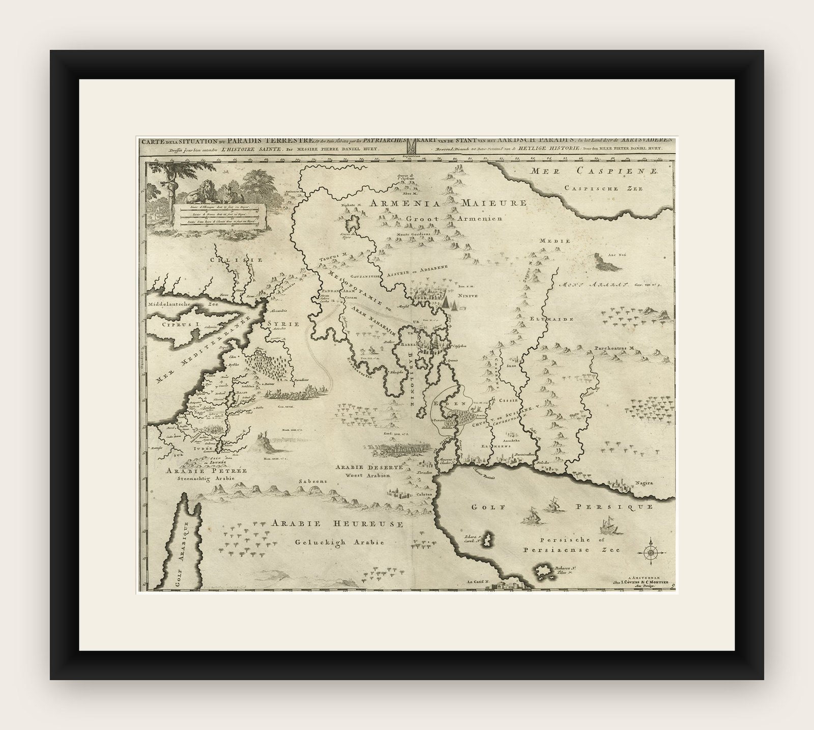
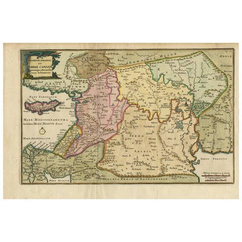
Antique map titled 'Carte de la Situation du Paradis Terrestre, Et des Pais Habitez par les Patriarches Dressee pour bien entendre l'Histoire Sainte, Par Messire Pierre Daniel Huet.'
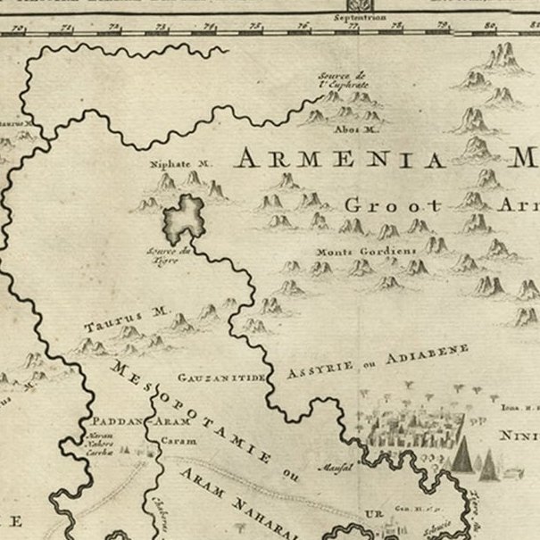
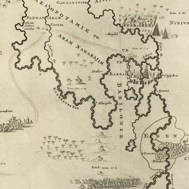
This interesting map covers the region from the Mediterranean through the Persian Gulf. Detail is omitted in favor of Biblical depictions including the Sermon on the Mount, Babylon, the Garden of Eden, Noah's Ark, Abraham's journey from Ur, and others. Pictorial scale of miles with a lion, lamb, and a serpent in an apple tree. Three tiny ships sail in the Persian gulf with a compass rose. Title is in both French and Dutch in panel at top. Published in the Netherlands by Covens & Mortier c. 1720.
Artists and Engravers: Made by 'Covens & Mortier' after an anonymous artist. Pieter und David Mortier were booksellers in Paris and have published a wide range of geographical works. After Pieter's death, his widow continued the business until their son Cornelius took over. Cornelius started a partnership with his brother-in-law Johannes Covens and established the famous publishing house "Covens and Mortier" in Amsterdam. They have re-issued Atlases of Sanson, de l'Isle, Visscher and de Wit.