
Maps & PrintsBartele Gallery · Langweer
Home / Antique Maps / Asia / West Asia & the Holy Land

West Asia & the Holy Land · 19th century

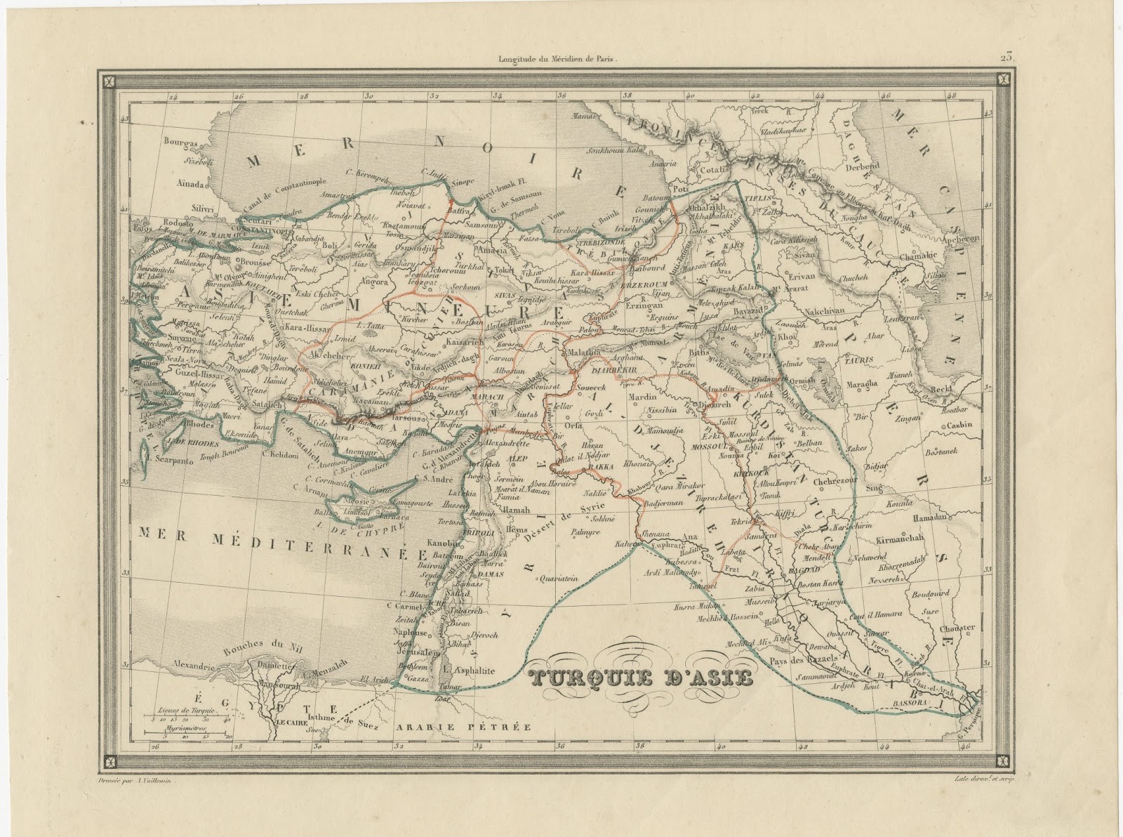
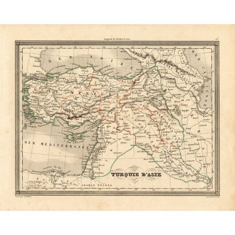
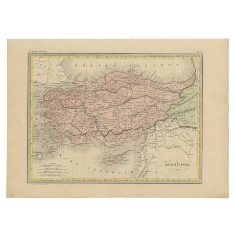
Antique Map of Turkey in Asia 'Asia Minor' by Vuillemin, 1846

€ 153

Original antique · The actual sheet photographed · Certificate of authenticity on request · Sold unframed · Worldwide shipping from € 15 (rates)

Date
1846
Sheet size
25 × 32 cm (9.8 × 12.6 in)
Condition
Good
Reference
PCT-17230

Condition

General age related toning and occasional light staining from handling as visible on image. Please review the images for further condition details.
About this sheet

Antique map titled 'Turqui D'Asie'. Map of Turkey in Asia / Asia Minor. This attractive original old antique print / plate / map originates from: 'Atlas Universal de Geographie Ancienne et Moderne.', published in Paris in 1846.

Artists and Engravers: By Alexandre Vuillemin (1812-1880), was a French geographer.

Condition: Good. General age related toning and occasional light staining from handling as visible on image. Please study image carefully.
Date: 1846
Overall size: 32 x 25 cm
Image size: 25.5 x 19.5 cm.

More from West Asia & the Holy Land

Ask about this sheet

Antique Map of Turkey in Asia 'Asia Minor' by Vuillemin, 1846
1846 · Ref. PCT-17230 · € 153
We reply by email, usually within one working day.