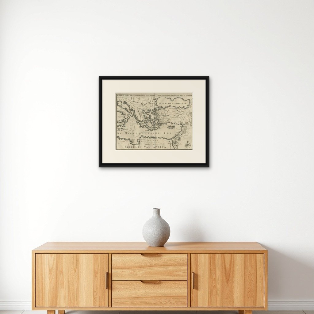
Antique Map of Eastern Mediterranean and Asia Minor by a Benedictine, c.1725
€ 490
Original antique · The actual sheet photographed · Certificate of authenticity on request · Sold unframed · Worldwide shipping from € 15 (rates)
Date
1725
Technique
Engraved
Sheet size
48.5 × 56 cm (19.1 × 22.0 in)
Condition
Good
Reference
PCT-25275
What the condition grades mean
Excellent
Bright and clean, with no faults worth mentioning.
Very good
Only light signs of age, such as faint toning.
Good
Normal signs of age for a sheet of this period: toning, some foxing, small marks or neat old repairs.
Fair
Clear faults such as staining, tears or repairs, priced to match.
Every fault we see is written in the condition note, and the whole sheet is shown uncropped in the photos.
Condition
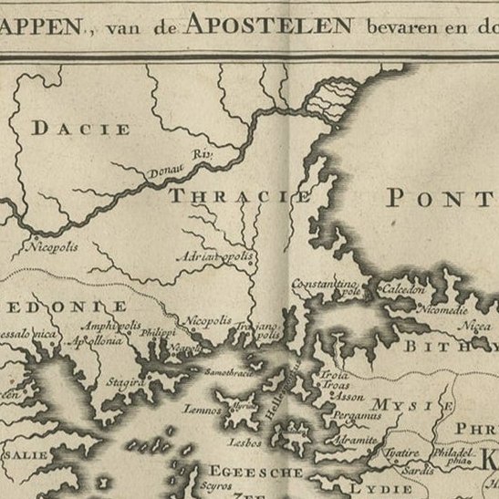
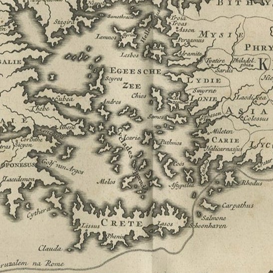
General age related toning and occasional light staining. Paper edges a bit irregular and occasionally chipped as usual. Please review the images for further condition details.
About this sheet
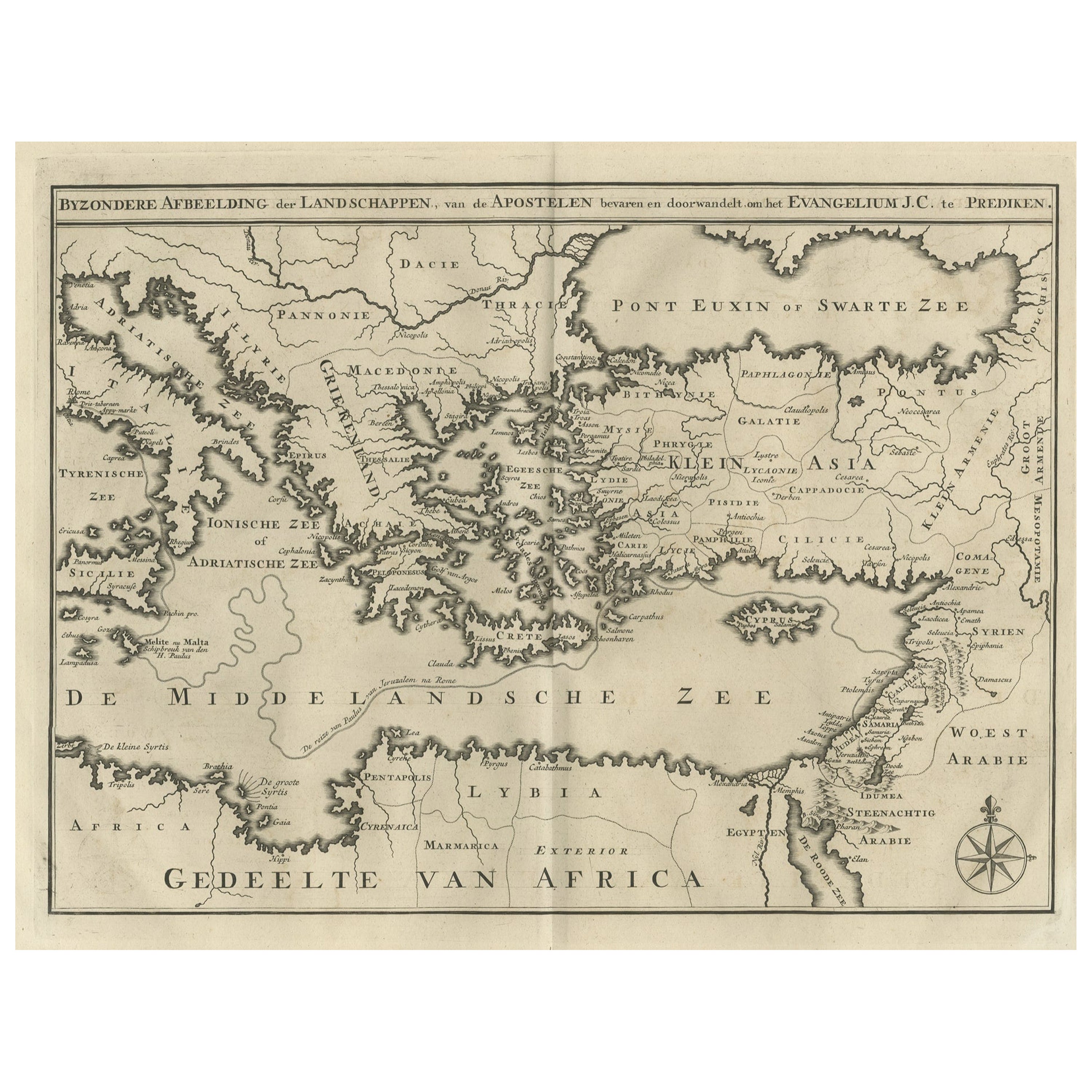
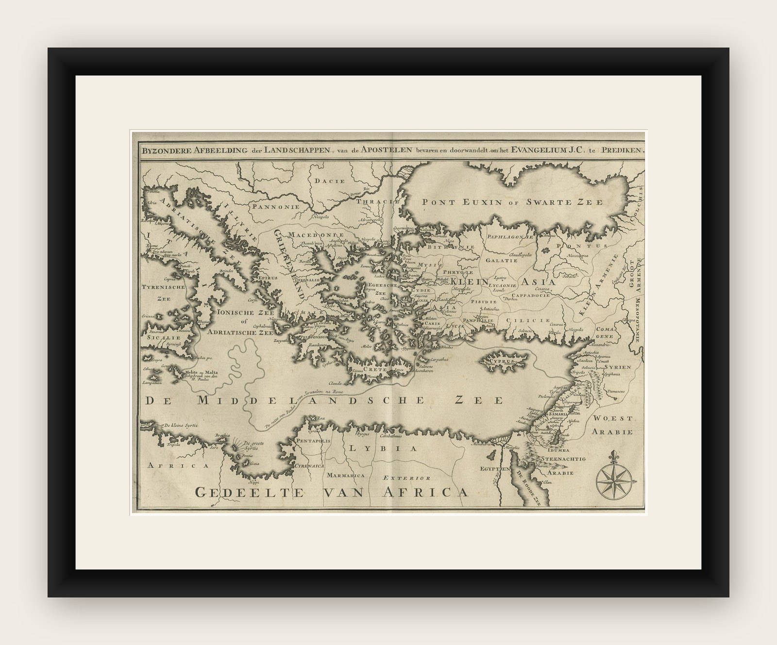
Antique map titled 'Byzondere Afbeelding der Landschappen, van de Apostelen bevaren en doorwandelt om het Evangelium J. C. te Prediken.' Map of the lands traveled by the Apostles to preach the holy gospel. This map shows the east Mediterranean countries and Asia Minor; Turkey, Greece, Cyprus, Malta, Israel, Macedonia, Italy etc.
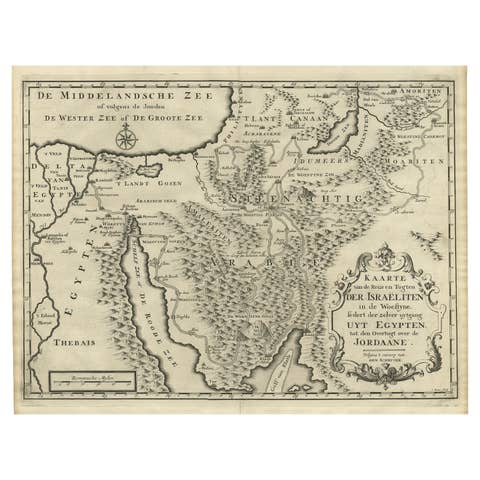
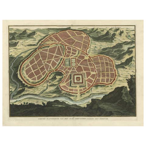
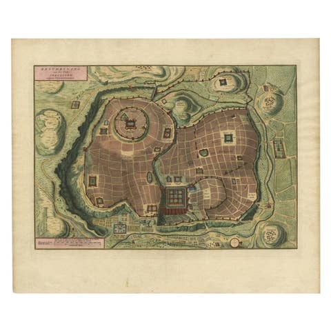
Artists and Engravers: Author: Antoine Augustin Calmet (1672-1757), French Benedictine. Translation by: translation by Mattheus Gargon (1661-1728), a minister in Vlissingen. Engravings in this work by A. de Putter, F. van Bleyswyk, M. Pool, Ph. van Gunst, etc.