About this sheet
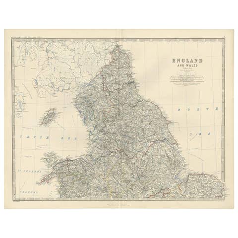
Antique Map of England & Wales (Southern Sheet) – Johnston’s Royal Atlas, 1865
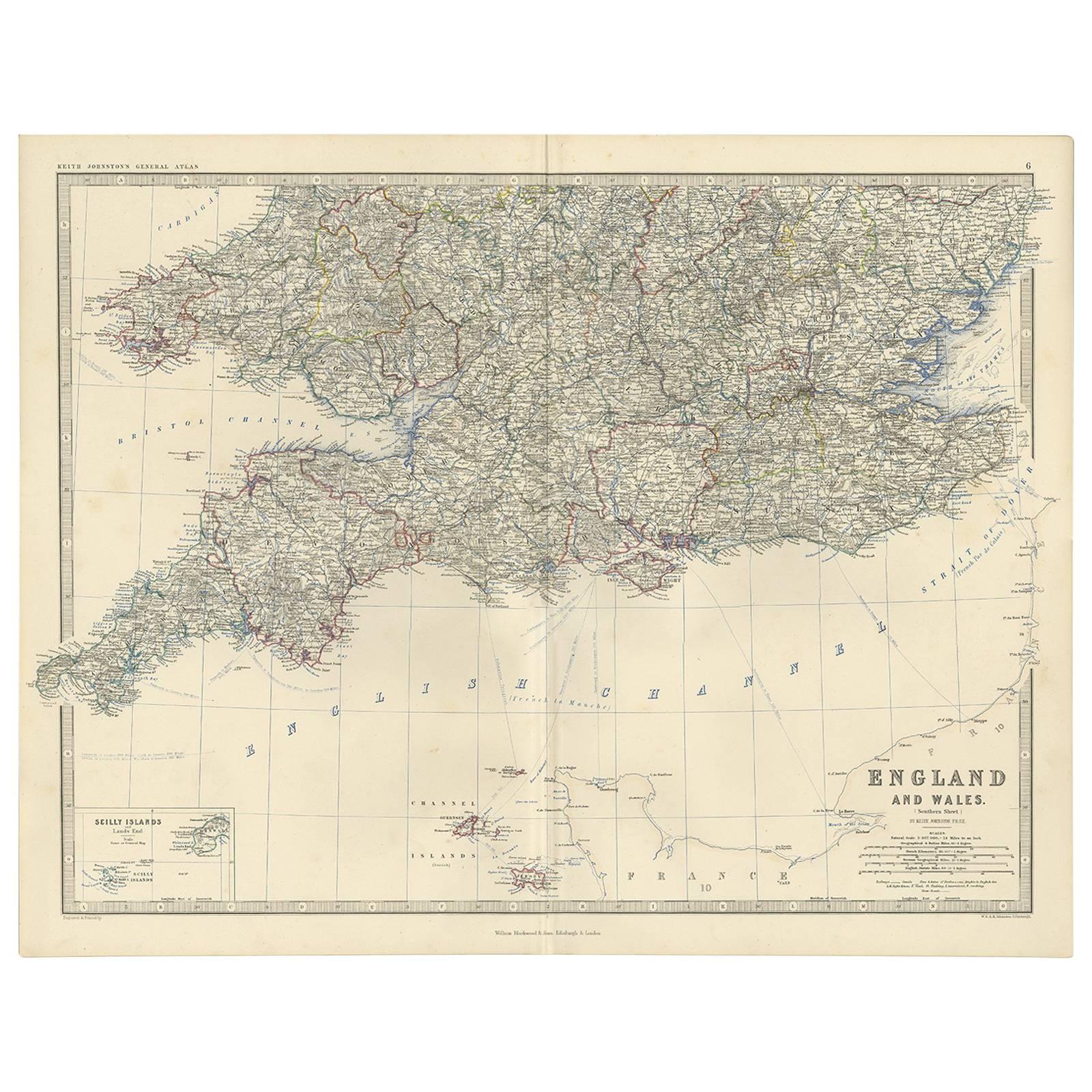
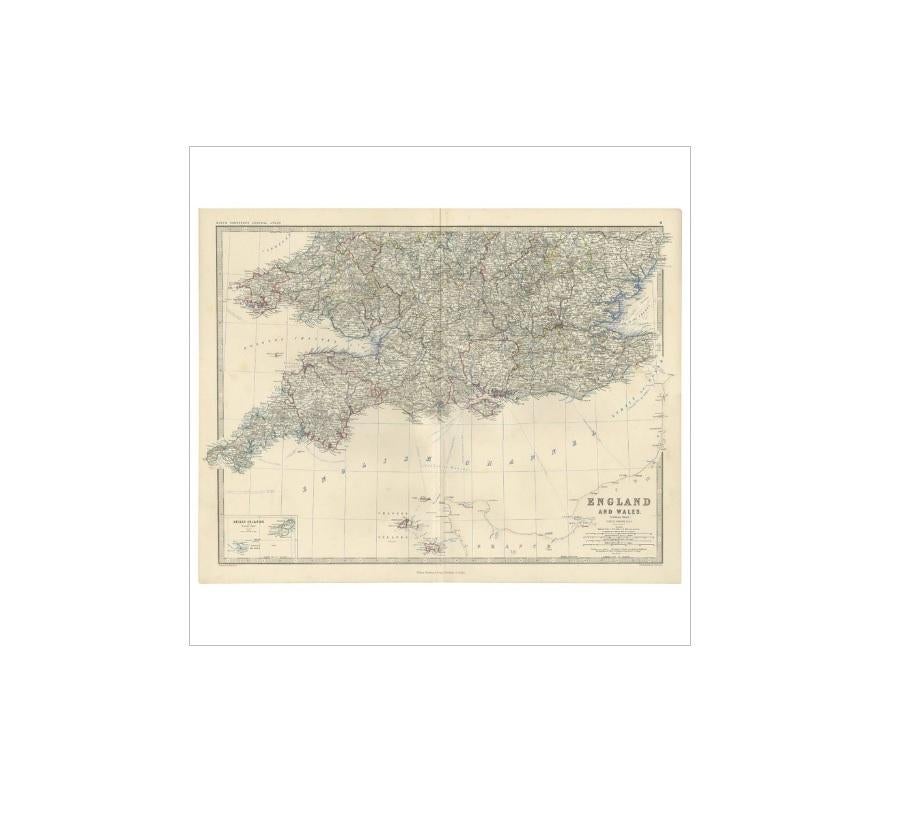
This finely engraved antique map, titled *England and Wales (Southern Sheet)*, was published in 1865 in *The Royal Atlas of Modern Geography* by Alexander Keith Johnston, one of the foremost cartographers of the 19th century. Issued by William Blackwood & Sons in Edinburgh and London, the atlas was celebrated for its accuracy, clarity, and fine engraving, establishing itself as a standard reference in Victorian Britain.
The map presents the southern half of England and Wales in remarkable detail, extending from Cornwall and the Scilly Islands in the west to Kent and East Anglia in the east, and from the English Channel northwards to the Midlands. Every county is carefully outlined and shaded in color, with towns, cities, and transport routes crisply engraved. Roads and railways, which were rapidly expanding during the mid-19th century, are meticulously depicted, reflecting the industrial and economic transformation of Britain.
An inset at lower left shows the Scilly Islands, a small but historically significant archipelago off the Cornish coast. The map is distinguished by Johnston’s hallmark precision and refined presentation, with scales in English and geographical miles, and a wealth of place names legibly engraved.
Johnston’s *Royal Atlas* was regarded as one of the greatest cartographic achievements of its day, praised for combining scientific accuracy with elegant design. It was widely used by government, scholars, and the public, and remains one of the finest 19th-century atlases ever published.
Condition report: Very good condition with original centerfold as issued. Minor age toning and light handling signs in margins. Strong impression with fine detail.
Framing tips: A cream or ivory mat enhances the clarity of the engraved detail, while a slim black or dark wood frame provides a refined finish. For a traditional Victorian presentation, a gilt frame adds warmth and historical character.
Technique: Engraving with original outline color
Maker: Alexander Keith Johnston, published by William Blackwood & Sons, Edinburgh & London, 1865