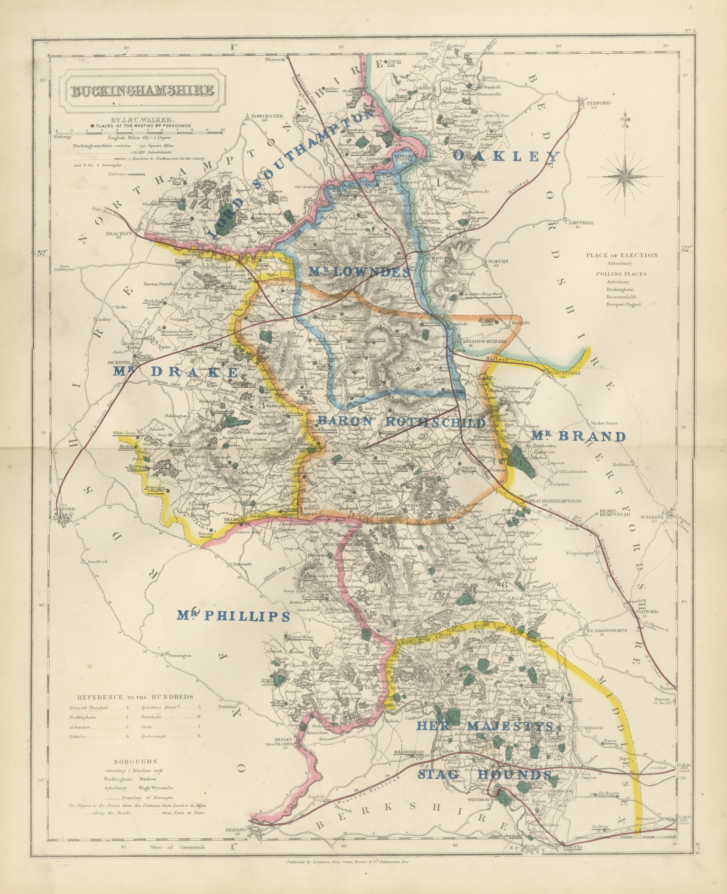
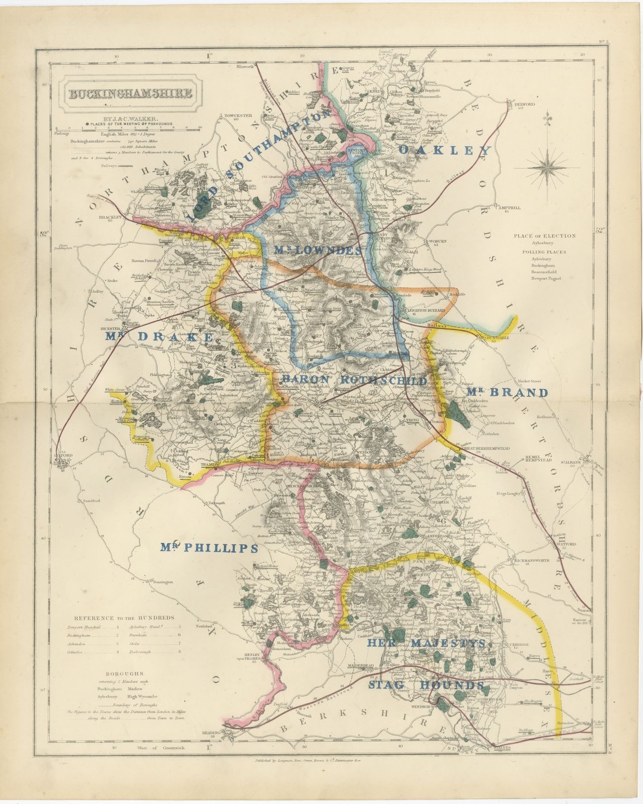
Hobson Fox Hunting Map of Buckinghamshire, Rothschild Staghounds, circa 1870
€ 340
Original antique · The actual sheet photographed · Certificate of authenticity on request · Sold unframed · Worldwide shipping from € 15 (rates)
Date
c. 1870
Mapmaker / artist
J. & C. Walker
Publisher
J. & C. Walker, London
Technique
Steel Engraving
Coloring
Original hand color
Condition
Good
Reference
BG-14239-3
What the condition grades mean
Excellent
Bright and clean, with no faults worth mentioning.
Very good
Only light signs of age, such as faint toning.
Good
Normal signs of age for a sheet of this period: toning, some foxing, small marks or neat old repairs.
Fair
Clear faults such as staining, tears or repairs, priced to match.
Every fault we see is written in the condition note, and the whole sheet is shown uncropped in the photos.
Condition
Good condition for its age. Age toning, stronger towards the edges, a central fold and a few small spots in the margins. Please review the images for further condition details.
About this sheet
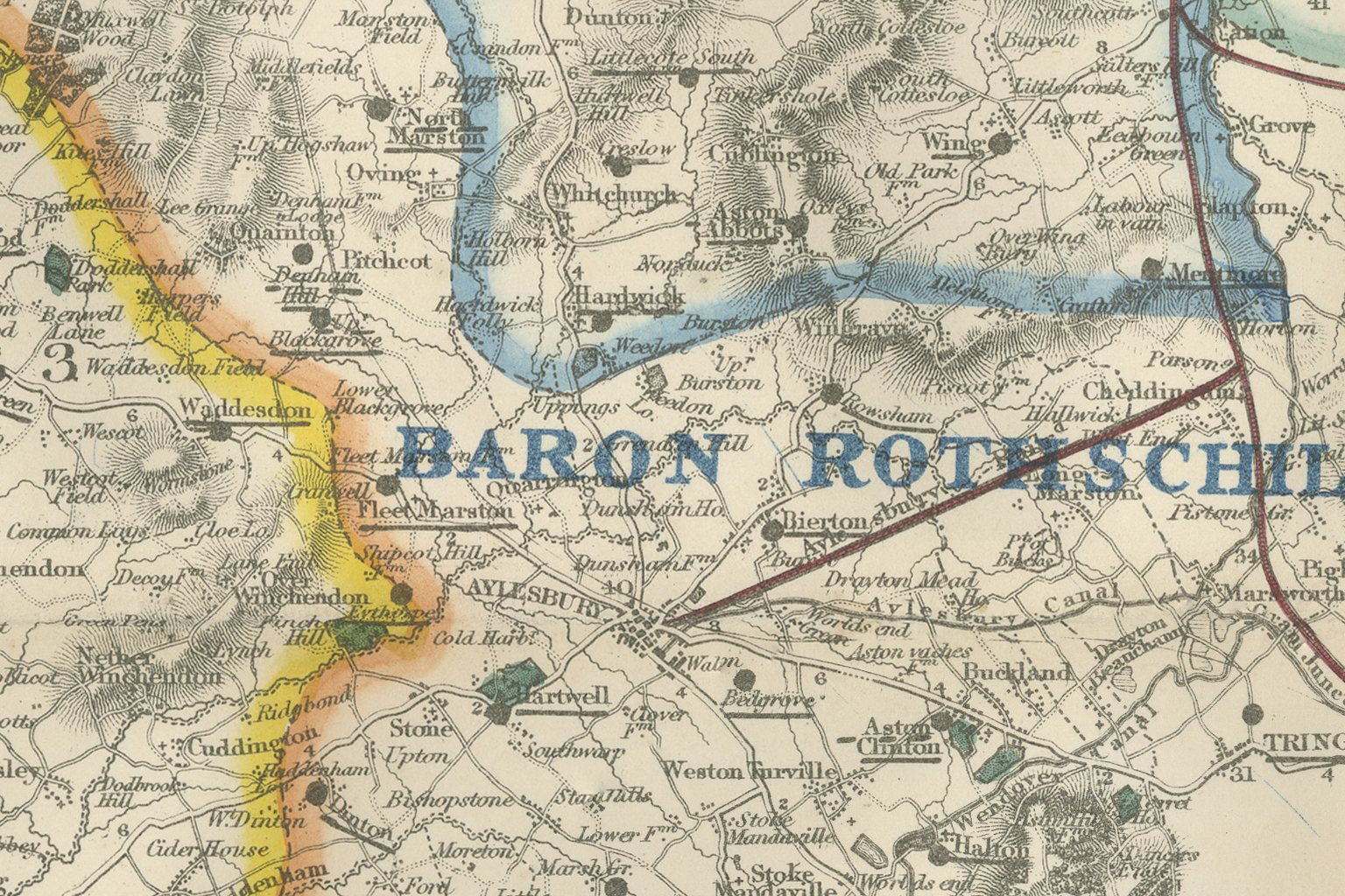
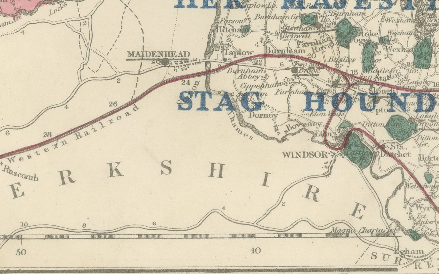
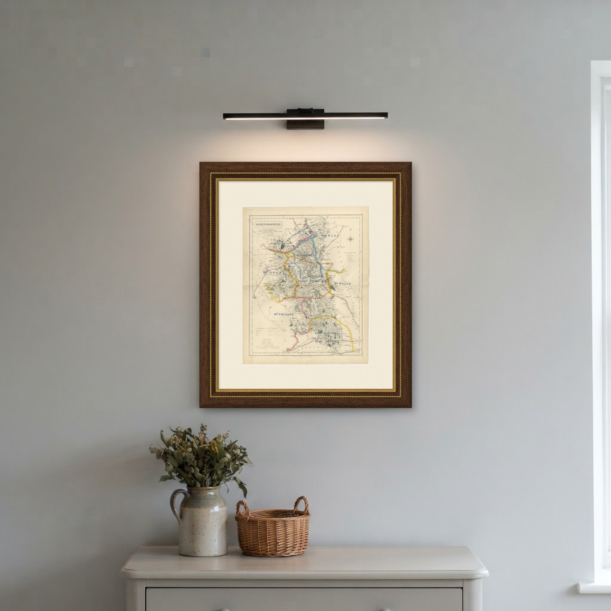
Hand colored to show eight named hunt countries, this antique fox hunting map of Buckinghamshire was engraved by J. and C. Walker for Hobson's Fox-Hunting Atlas, circa 1870. Lord Southampton's country lies in pink along the northern border with Northamptonshire; Oakley in green in the north-east corner; Mr Lowndes's country in yellow through the center around Winslow and Aylesbury; Mr Drake's country in the west around Bicester and Grendon Underwood; Baron Rothschild's country in orange through the Vale of Aylesbury; Mr Brand's in a narrow strip along the eastern edge toward Berkhamsted; Mr Phillips's country in pink in the south around the Chess valley; and, in the far south, Her Majesty's Stag Hounds in yellow, covering the ground down to Windsor. Each name is set in bold blue capitals following the run of its boundary.
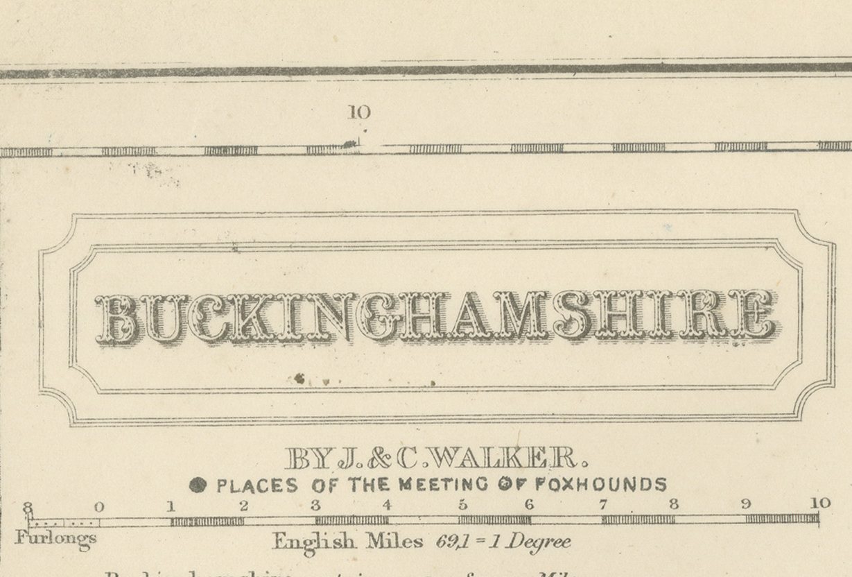
Beneath the color the map records the Great Western and London and Birmingham lines in red, the Thames and its tributary streams in blue, the wooded parkland around Waddesdon and Wotton in green, and the many gentlemen's seats marked with a dot and name. A key to the hundreds and a list of the boroughs and polling places occupy the lower left corner, and the plate carries its series number, 3, with the Walker imprint and cartouche at upper left.
The process is steel engraving, with the hunt boundaries in original hand color, applied in outline. J. and C. Walker, the London engravers John and Charles Walker, made the plates for William Colling Hobson, who compiled the atlas, and Longman and Company of Paternoster Row published it. First issued around 1850 and reissued into the 1870s, Hobson's Fox-Hunting Atlas covers every county of England and the three Ridings of Yorkshire; this example is from the edition of circa 1870. Such a dense patchwork on a single small county shows how finely hunting territory in the Vale had been subdivided by this date, with private packs kept by individual landowners alongside the subscription packs and the royal establishment at Windsor.
This antique fox hunting map of Buckinghamshire is an original sheet from the atlas and is suitable for framing; it is of particular interest to hunting families, to collectors of the county and to anyone with a connection to the place.
The sheet is in good condition for its age, with age toning, stronger towards the edges, a central fold and a few small spots in the margins. Please review the images for further condition details.
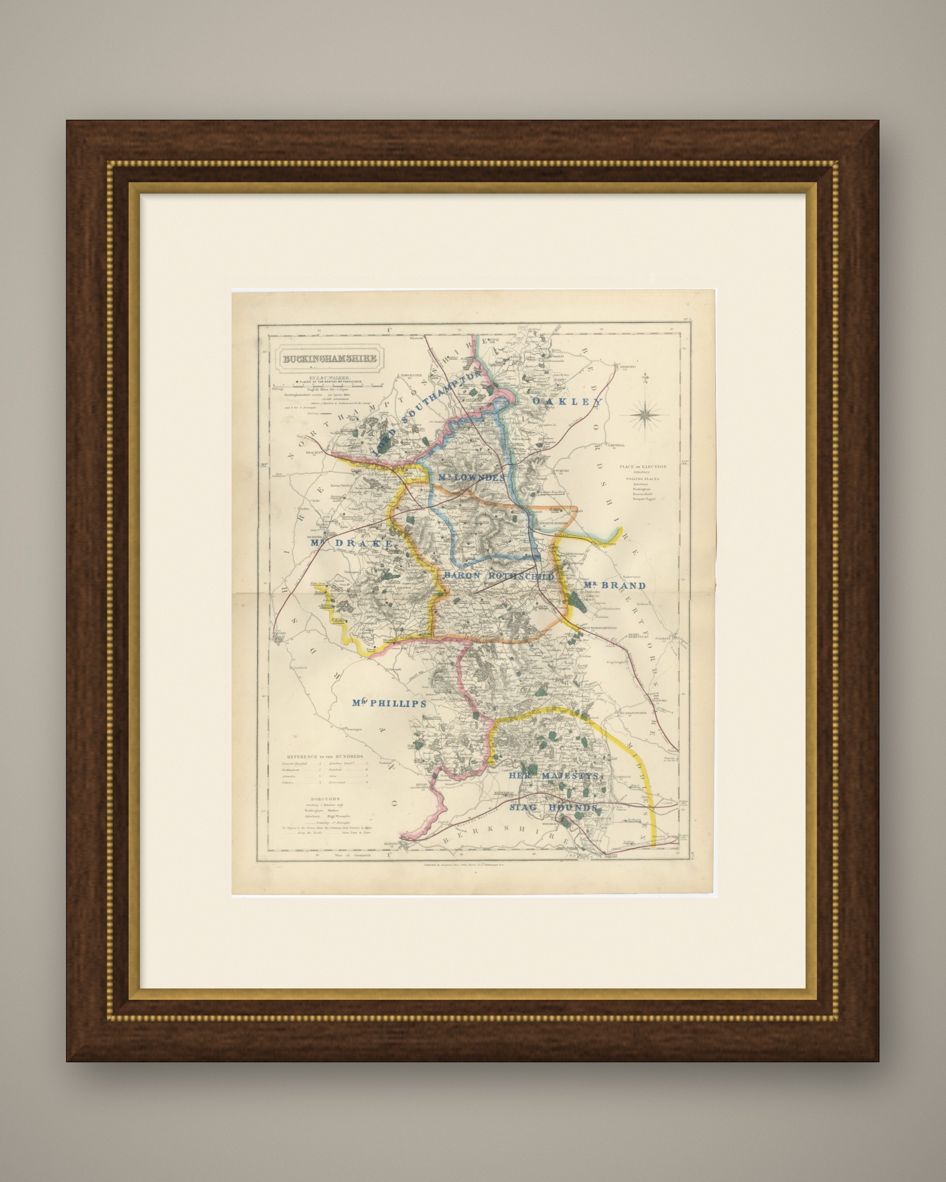
This is an original antique map, not a modern reproduction. This item is sold unframed. Any framed or interior images are shown for presentation and inspiration only, unless the listing explicitly states that the item is sold framed.