About this sheet
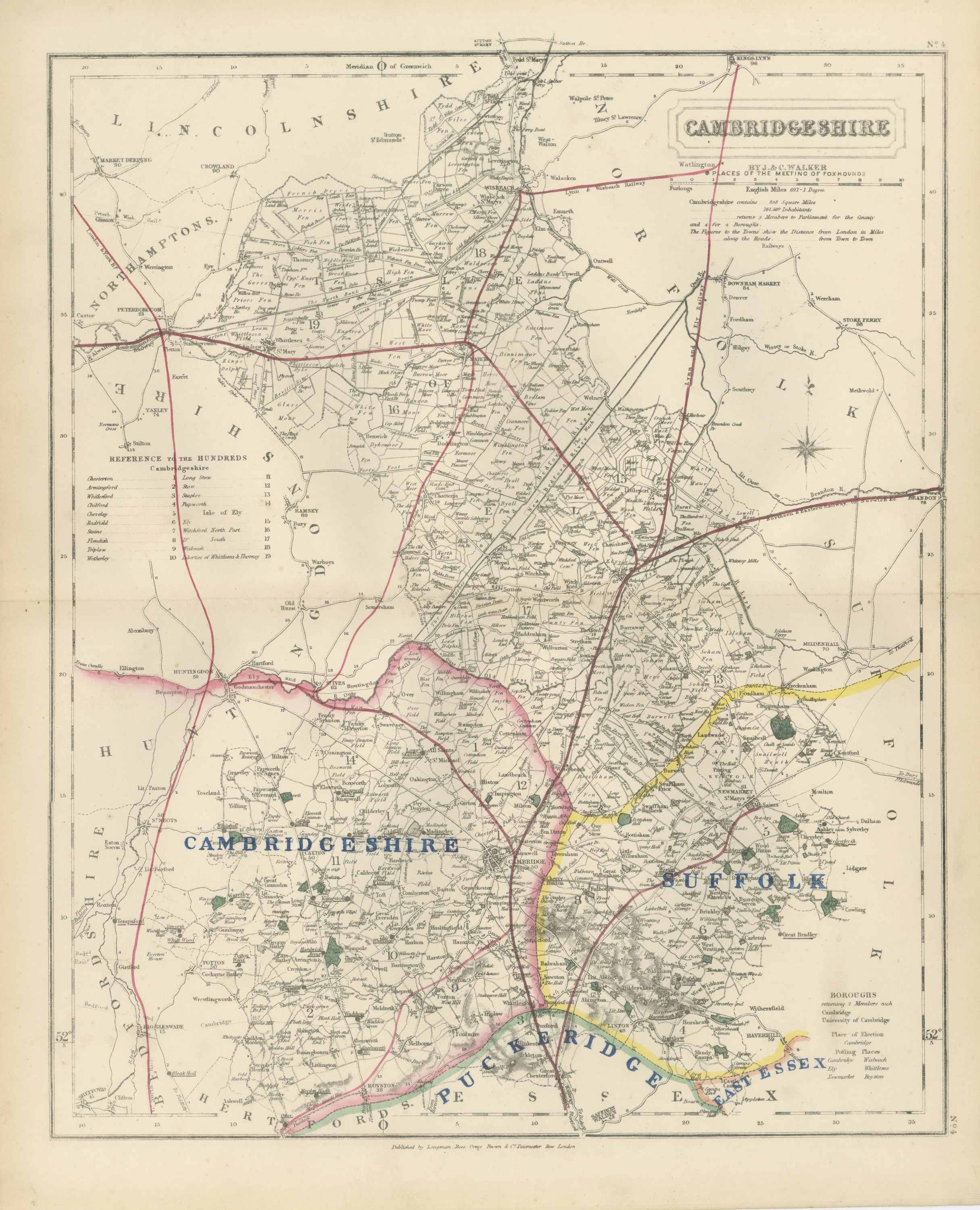
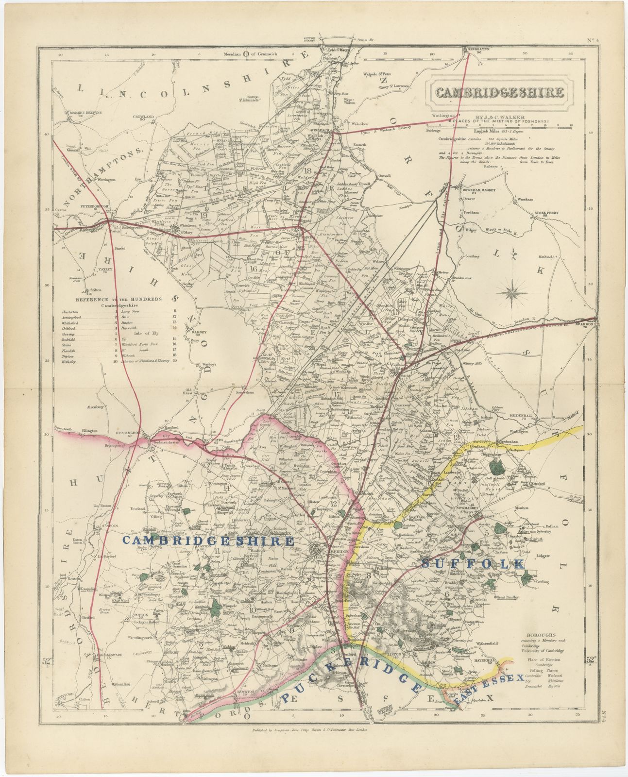
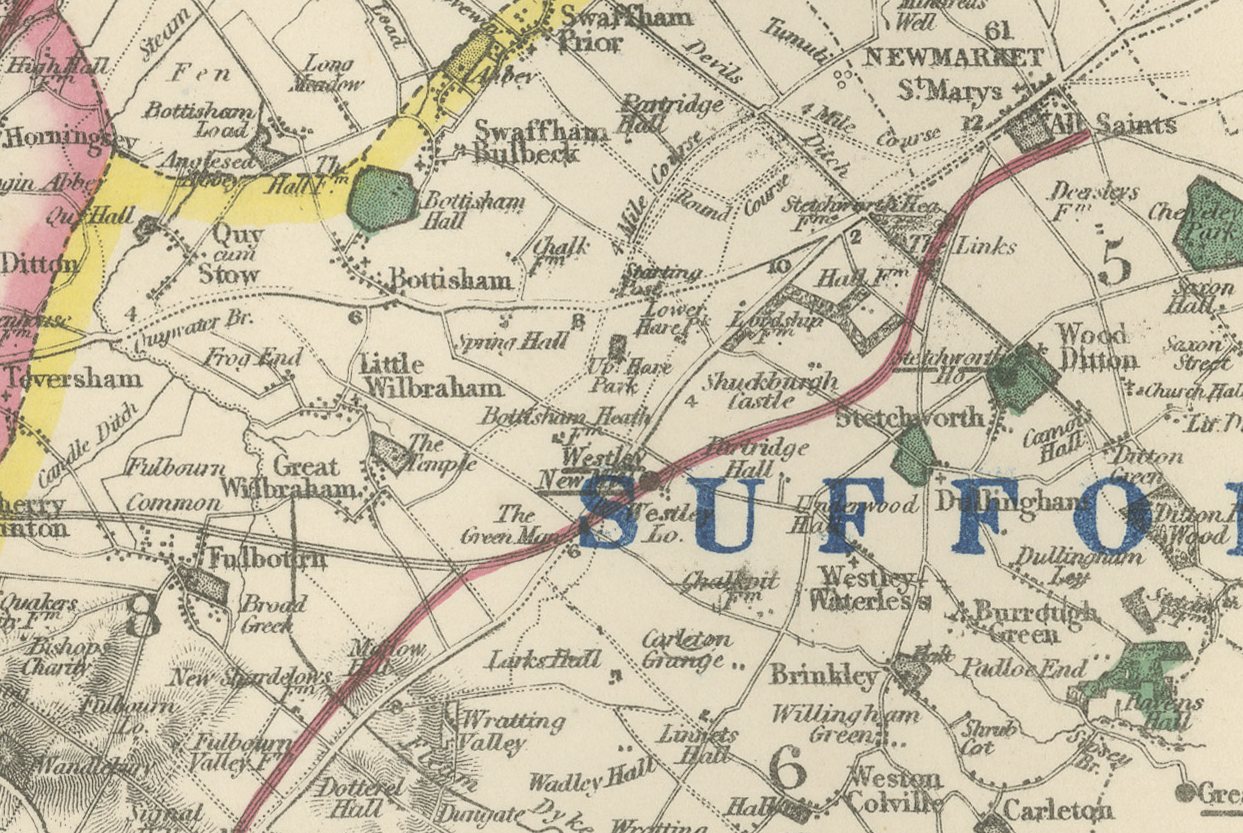
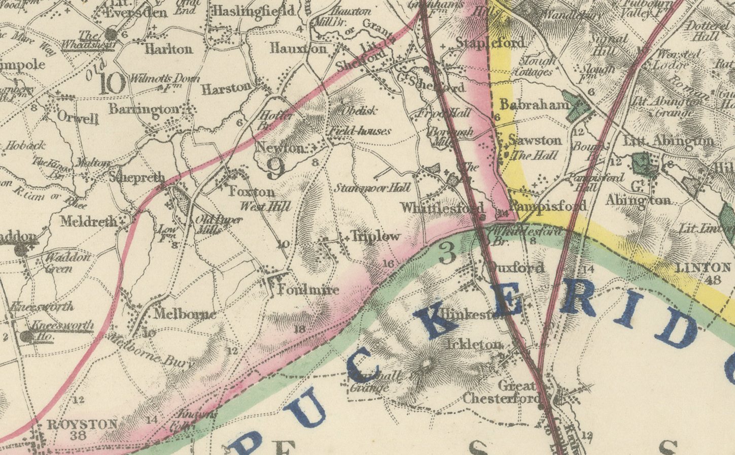
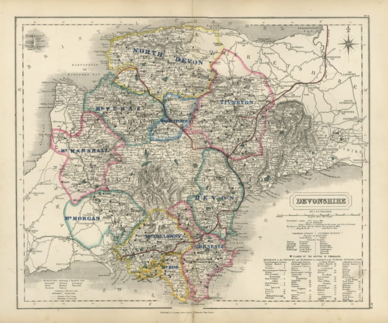
This antique fox hunting map of Cambridgeshire, engraved by J. and C. Walker for Hobson's Fox-Hunting Atlas circa 1870, shows four hunt countries in hand color. Cambridgeshire itself, in pink, covers the southern half of the county around the city and Royston; Suffolk, in yellow, runs along the eastern border toward Newmarket; Puckeridge, in green, takes the narrow southern tip bordering Hertfordshire; and East Essex is lettered in blue at the extreme south-east corner where the county touches the Essex boundary. The fen country in the north, around Whittlesey, March and the Isle of Ely, is left uncolored, since it lay outside any established hunting country at the date.
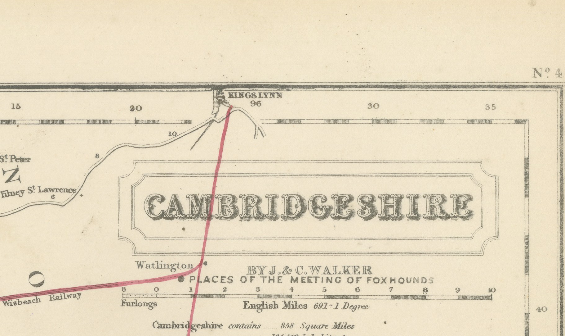
The drained fenland is shown with its characteristic grid of straight drove roads and lodes, the Great Eastern and Great Northern lines run in red toward King's Lynn and Ely, and a reference table at lower left keys the hundreds of Cambridgeshire, numbered one to nineteen. The cartouche at upper right gives the county name, the Walker imprint, the scale bar and a note of area and population, with a compass star beside it; the plate is numbered 4.
William Colling Hobson compiled the atlas, J. and C. Walker engraved its maps on steel, and Longman and Company of Paternoster Row, London, published it, first around 1850 and in reissues running into the 1870s. Hobson's Fox-Hunting Atlas records the boundaries of the hunt countries in hand color and marks the places of meeting of the foxhounds; this sheet comes from the edition of circa 1870, with its boundaries in original outline hand color. The fen's absence of color is itself informative: unenclosed low ground of this kind was not fox country in the conventional sense, and the compilers left it blank rather than assign it to a pack that did not hunt it.
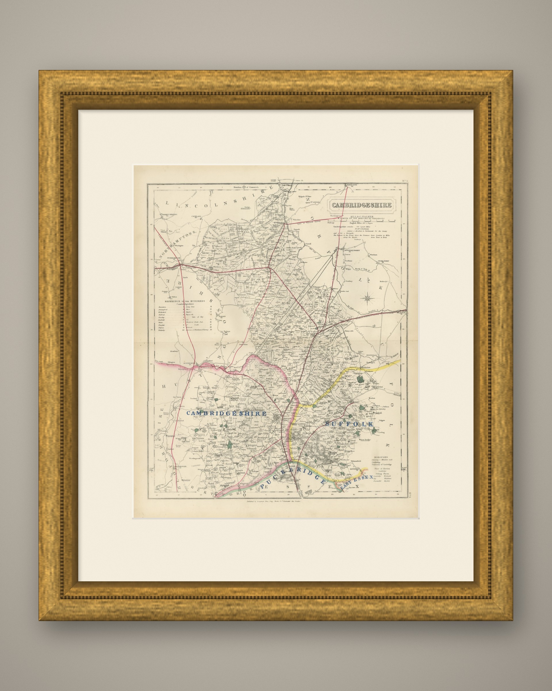
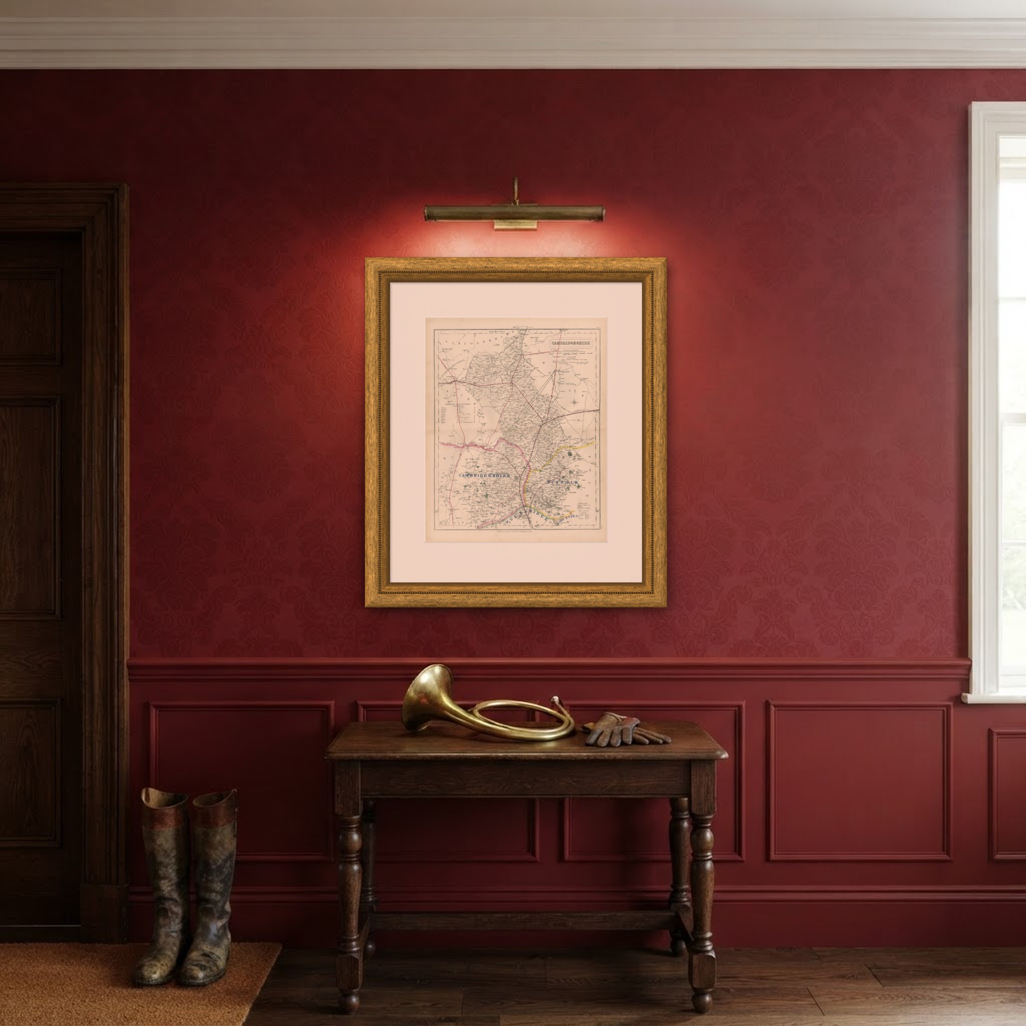
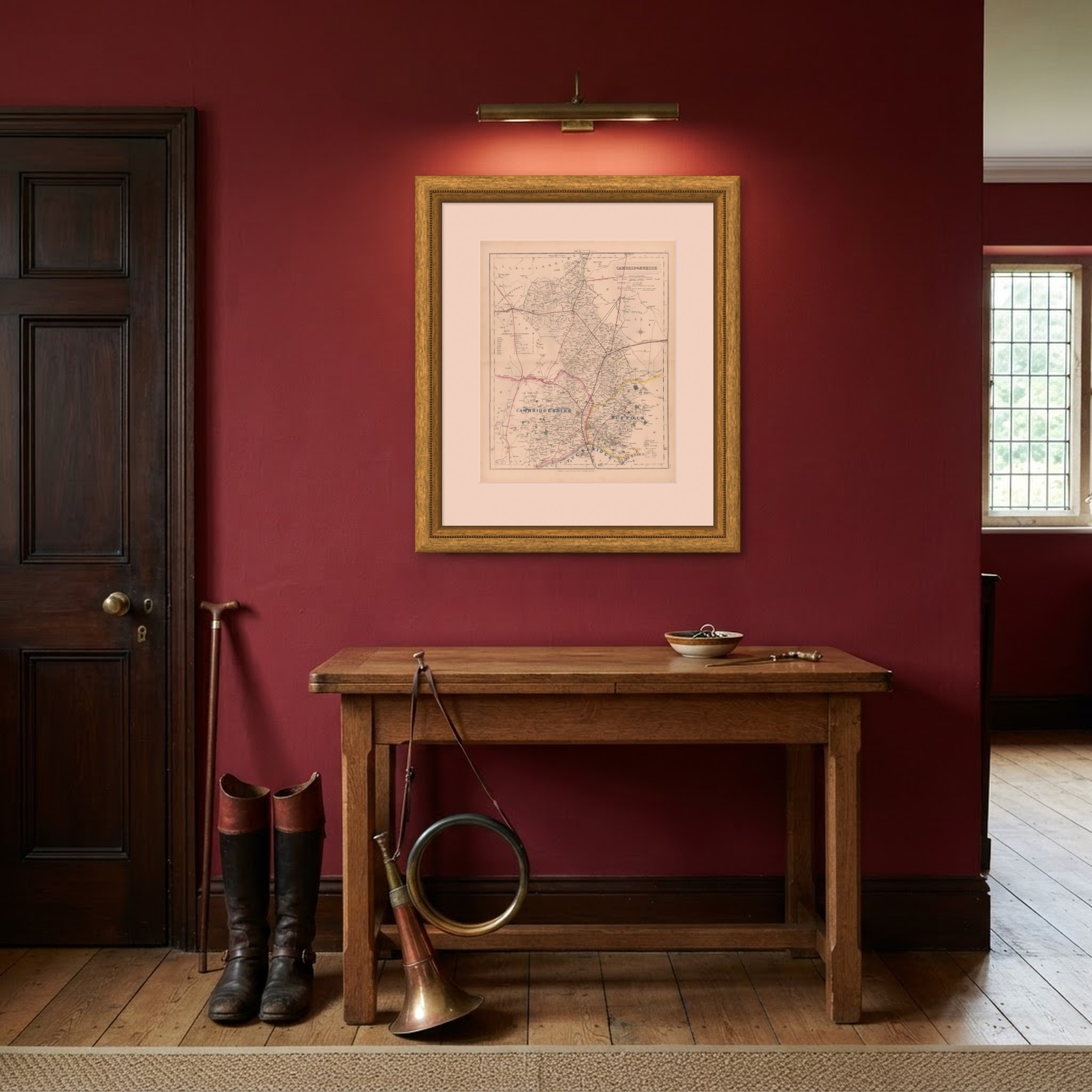
As an original atlas sheet, suitable for framing, this antique fox hunting map of Cambridgeshire makes a fine piece for a hunting family, a collector of the county or anyone with ties to the place.
The sheet is in good condition for its age, with age toning, stronger towards the edges, a central fold and a few small spots in the margins. Please review the images for further condition details.
This is an original antique map, not a modern reproduction. This item is sold unframed. Any framed or interior images are shown for presentation and inspiration only, unless the listing explicitly states that the item is sold framed.