About this sheet
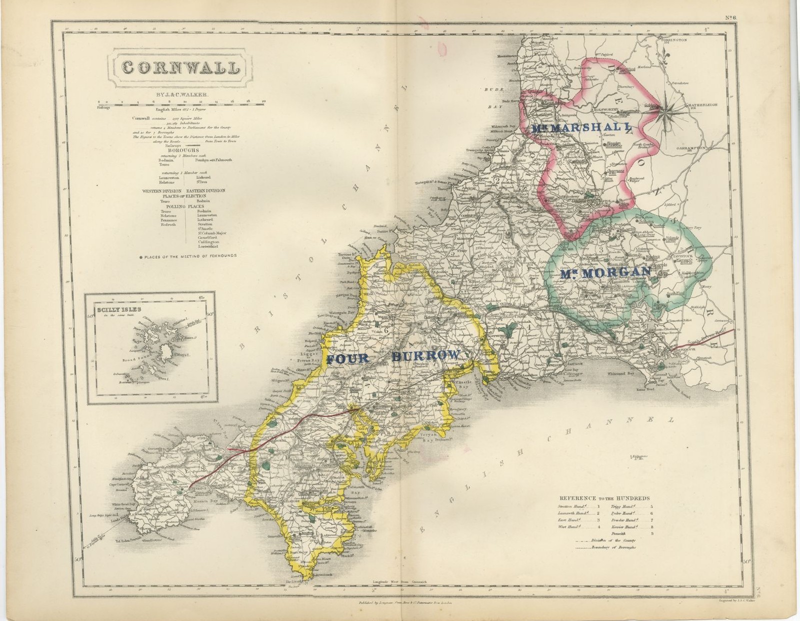
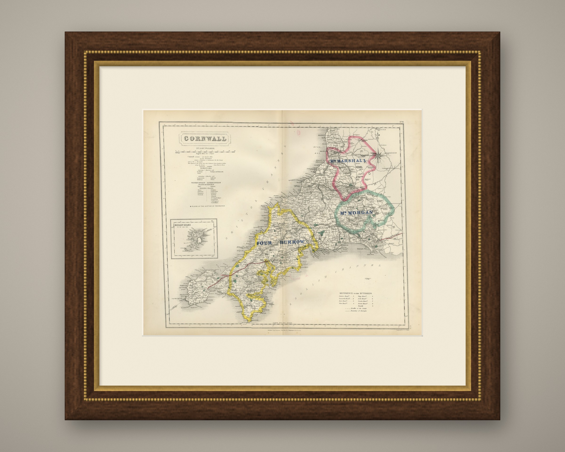
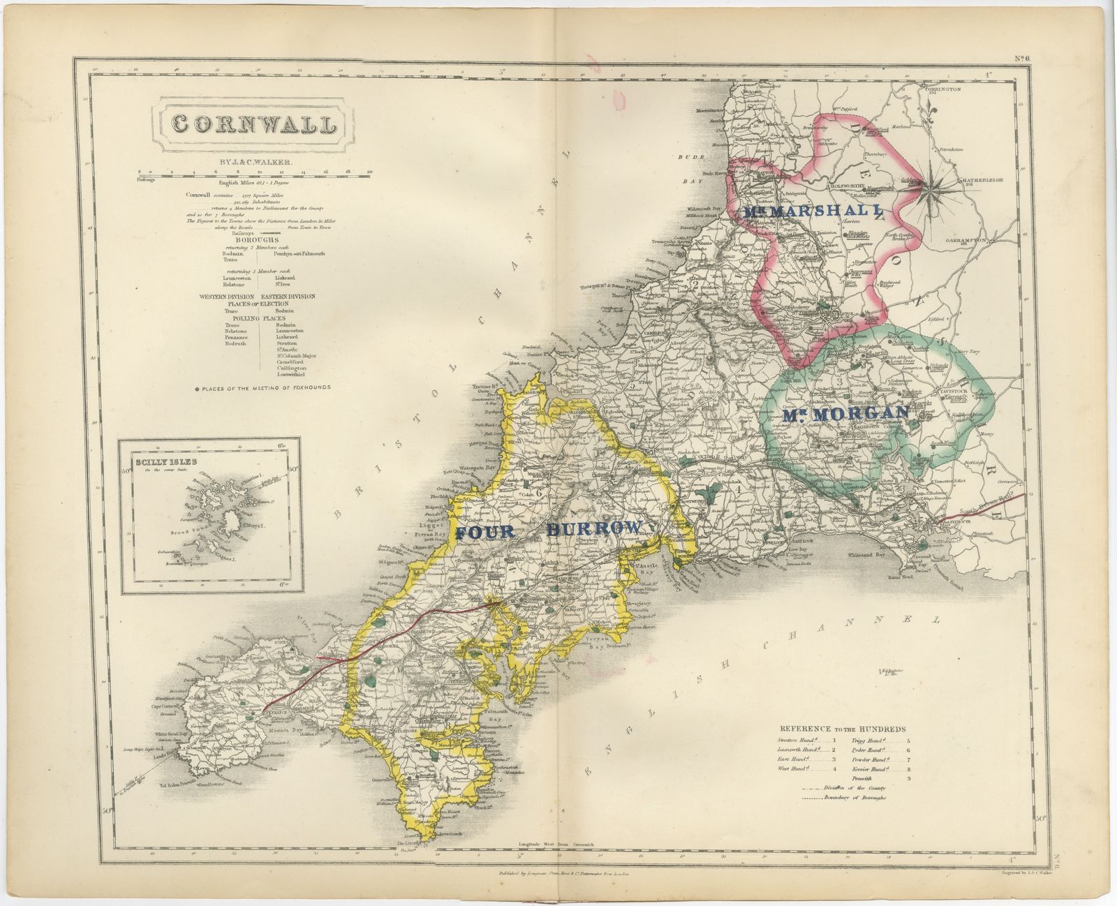
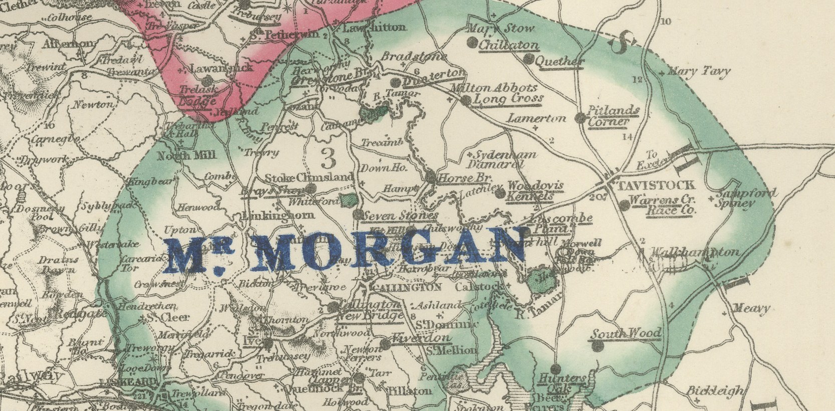
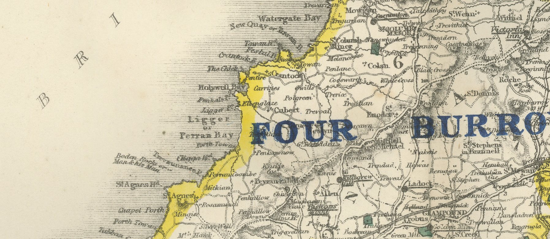
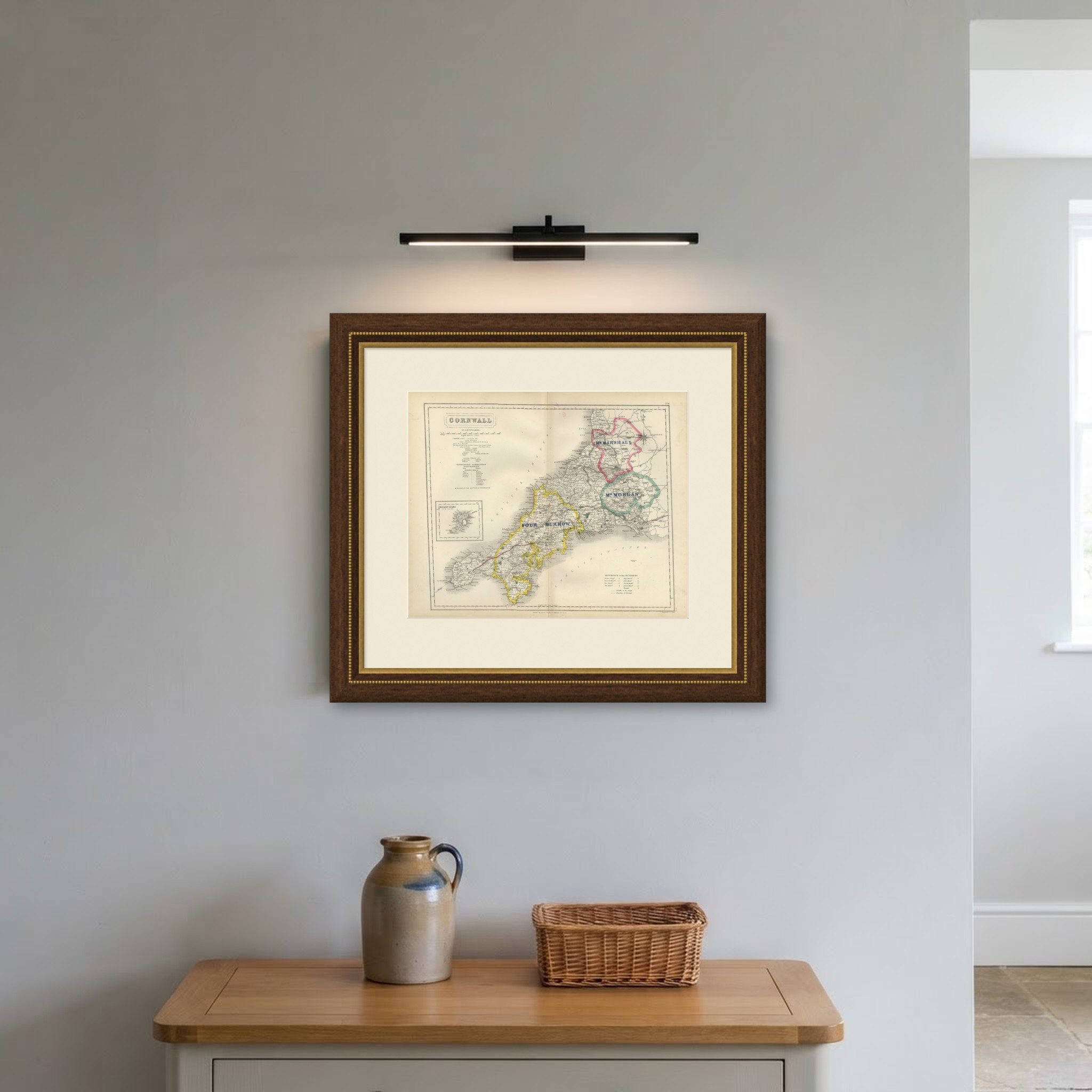
Engraved by J. and C. Walker for Hobson's Fox-Hunting Atlas circa 1870, this antique fox hunting map of Cornwall shows three hunt countries laid over the peninsula in hand color. Mr Marshall's lies in pink across the far north-east around Holsworthy and the Devon border, Mr Morgan's in green through the south-east around Liskeard and Callington, and Four Burrow in yellow along the length of the peninsula from Truro west to Land's End. An inset at lower left, drawn to the same scale, shows the Scilly Isles, printed but left uncolored since they lay well outside any hunting country.
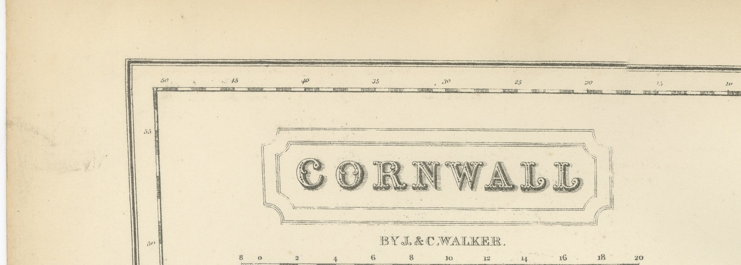
Cornwall's double coastline, the north Atlantic shore and the English Channel shore meeting at the toe of the peninsula, is rendered in fine stipple with the principal bays and headlands named. The cartouche occupies the upper left, with the county name, "By J. & C. Walker," the scale bar and the usual note of area, population and parliamentary seats, followed by a list of boroughs returning members. A key to the hundreds sits at lower right, and the sheet carries a printed engraver's credit, "Engraved by J. & C. Walker," at the foot of the plate alongside the publisher's imprint, a small detail not repeated on every sheet.
Engraved on steel by J. and C. Walker of London, the plate was made for Hobson's Fox-Hunting Atlas, compiled by William Colling Hobson and published by Longman and Company of Paternoster Row. The work was first issued around 1850 and reissued into the 1870s, and this sheet is from the edition of circa 1870, with the hunt boundaries in original outline hand color and the places of meeting of the foxhounds marked, together with roads, railways, canals and parks. Four Burrow's country, taking in most of the mining district around Redruth and Camborne, ran through ground broken by engine houses, shafts and burrows, the mine spoil heaps that gave the pack its name, a very different kind of going from the grazing shires further east.
For hunting families, county collectors and anyone with a connection to the place, this antique fox hunting map of Cornwall is an original atlas sheet, well suited to framing.
The sheet is in good condition for its age, with light age toning, a central fold, faint color offsetting near the upper margin and a few small spots. Please review the images for further condition details.
This is an original antique map, not a modern reproduction. This item is sold unframed. Any framed or interior images are shown for presentation and inspiration only, unless the listing explicitly states that the item is sold framed.