About this sheet
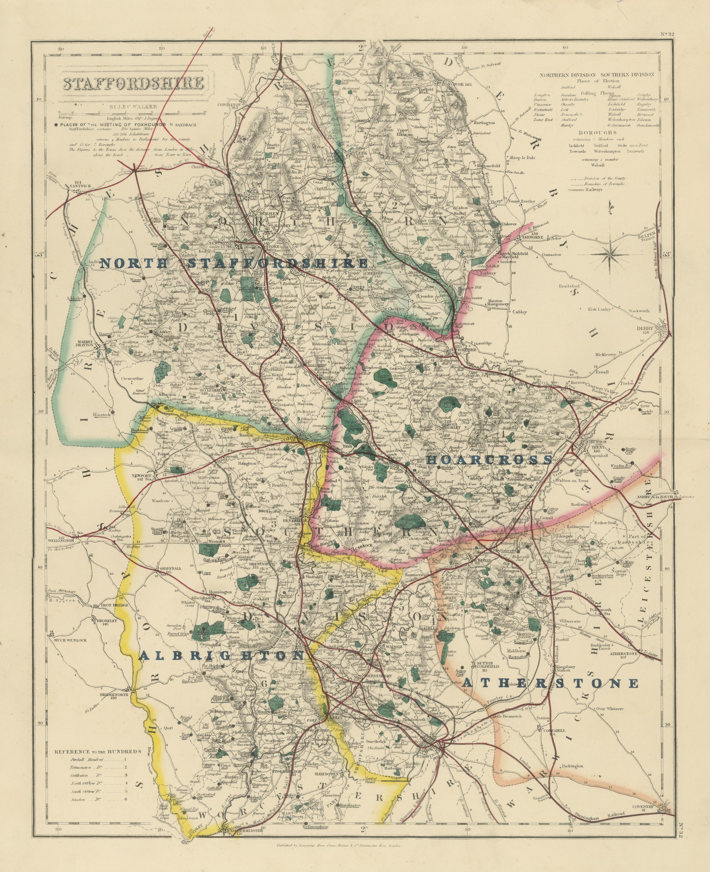
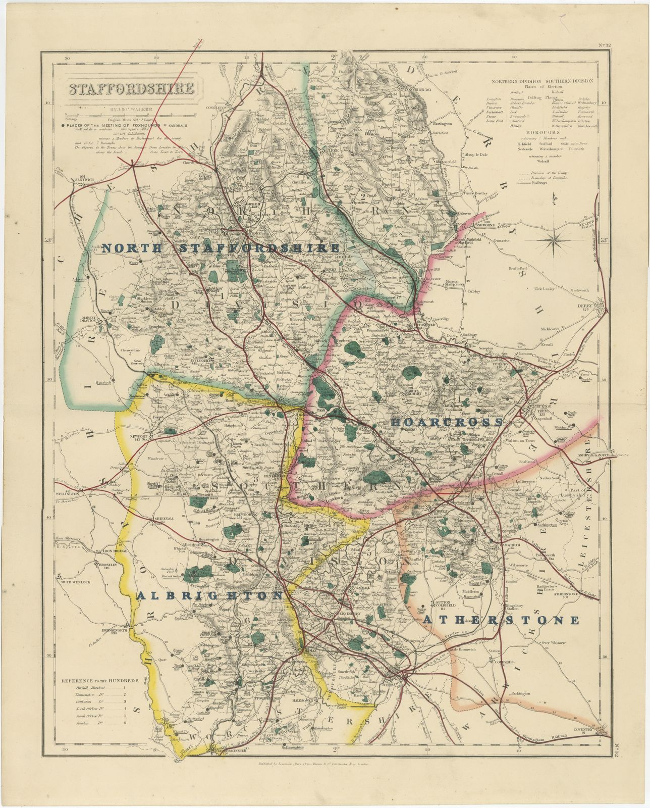
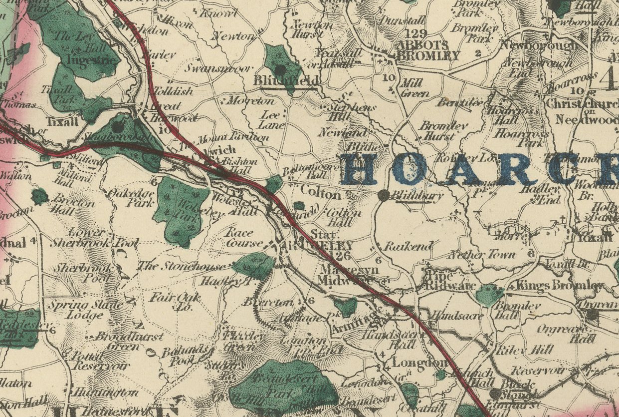
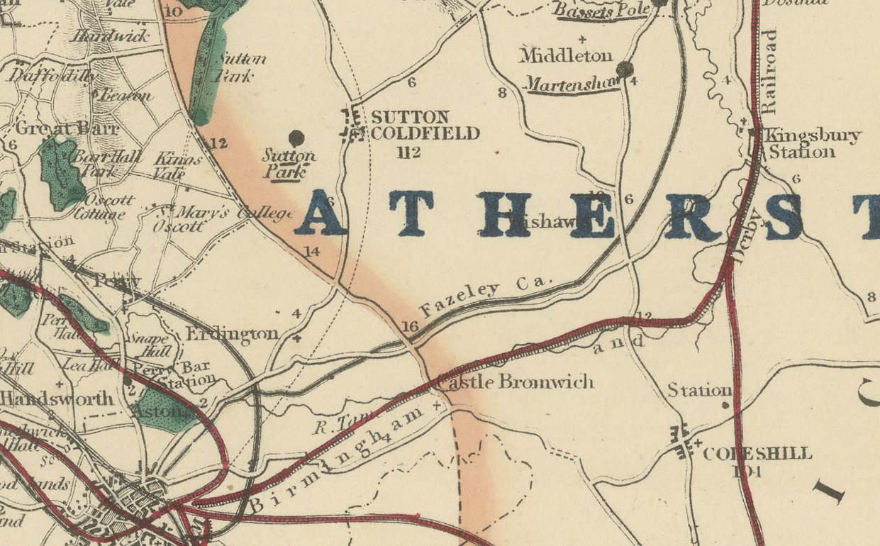
This antique fox hunting map of Staffordshire, engraved by J. and C. Walker for Hobson's Fox-Hunting Atlas circa 1870, shows four hunt countries colored by hand. North Staffordshire, in pink, covers the northern half from the Cheshire border down past Stoke-on-Trent and the Potteries; Hoarcross, in yellow, runs through the center-south; Albrighton, in yellow, takes the south-west corner toward Wolverhampton and the Shropshire border; and Atherstone, in green, the south-east corner toward Tamworth and the Warwickshire border. The Potteries towns, Stoke, Burslem and Hanley, cluster in the north with an unusually dense concentration of named streets and works for a rural county atlas, a mark of the district's industrial character even by 1870.
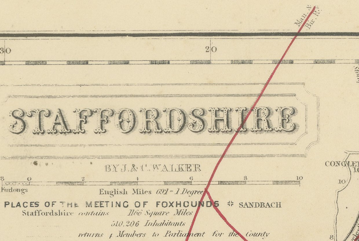
The Trent rises in the north and is traced south-east across the sheet, the main lines of the North Staffordshire and London and North Western railways converge on the Potteries in red, and Cannock Chase is noted in the south, its heathland shown without woodland color. A reference table for the hundreds sits at lower left, and the cartouche occupies the upper right.
Hobson's Fox-Hunting Atlas, compiled by William Colling Hobson and published by Longman and Company of Paternoster Row, London, first appeared around 1850 and was reissued into the 1870s; this sheet is from the edition of circa 1870. The plates were steel engraved by J. and C. Walker, and the boundaries of the hunt countries were added in original hand color, in outline, with the places of meeting of the foxhounds marked alongside roads, railways, canals and parks. Here hunting country coexisted at close quarters with some of the most heavily industrialized landscape in England, the North Staffordshire country running directly against the smoke of the Potteries.
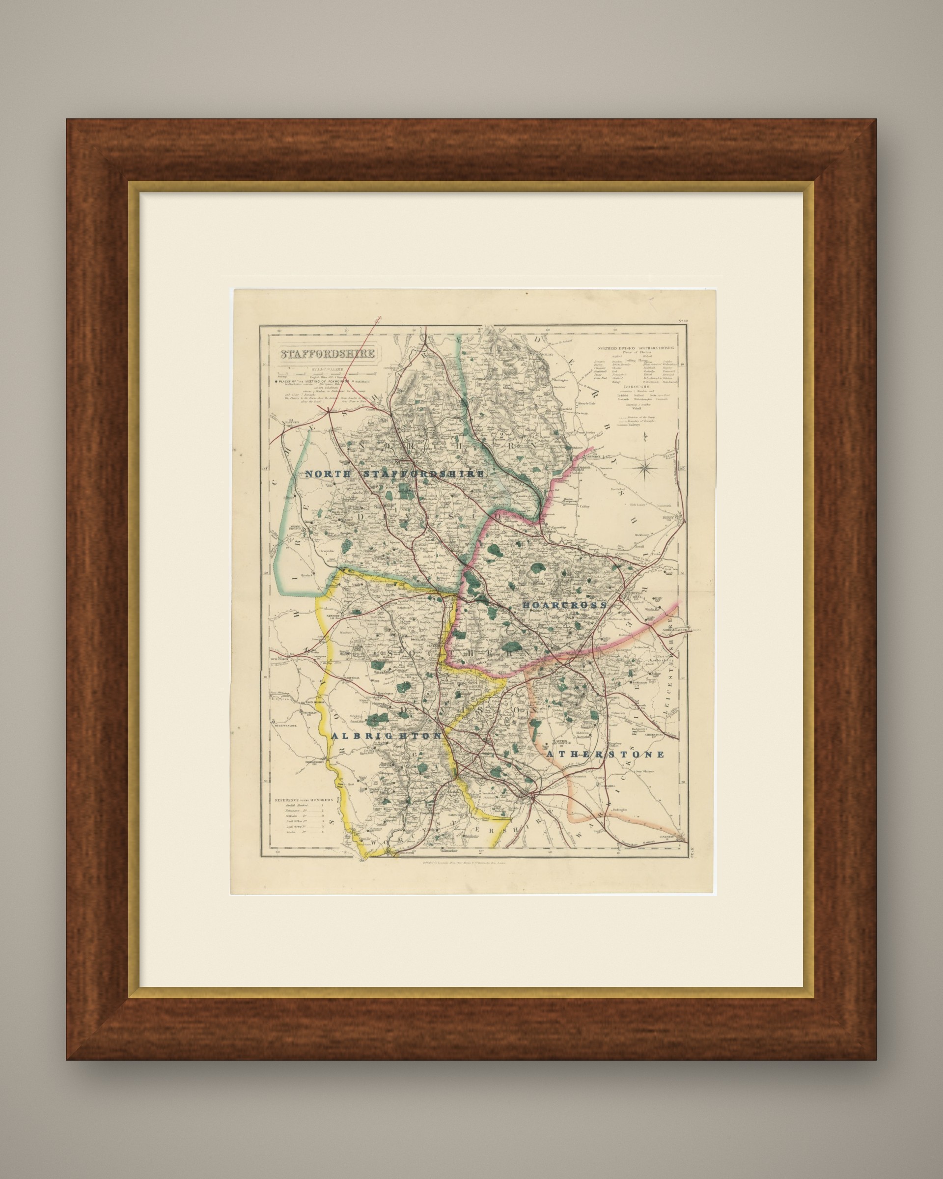
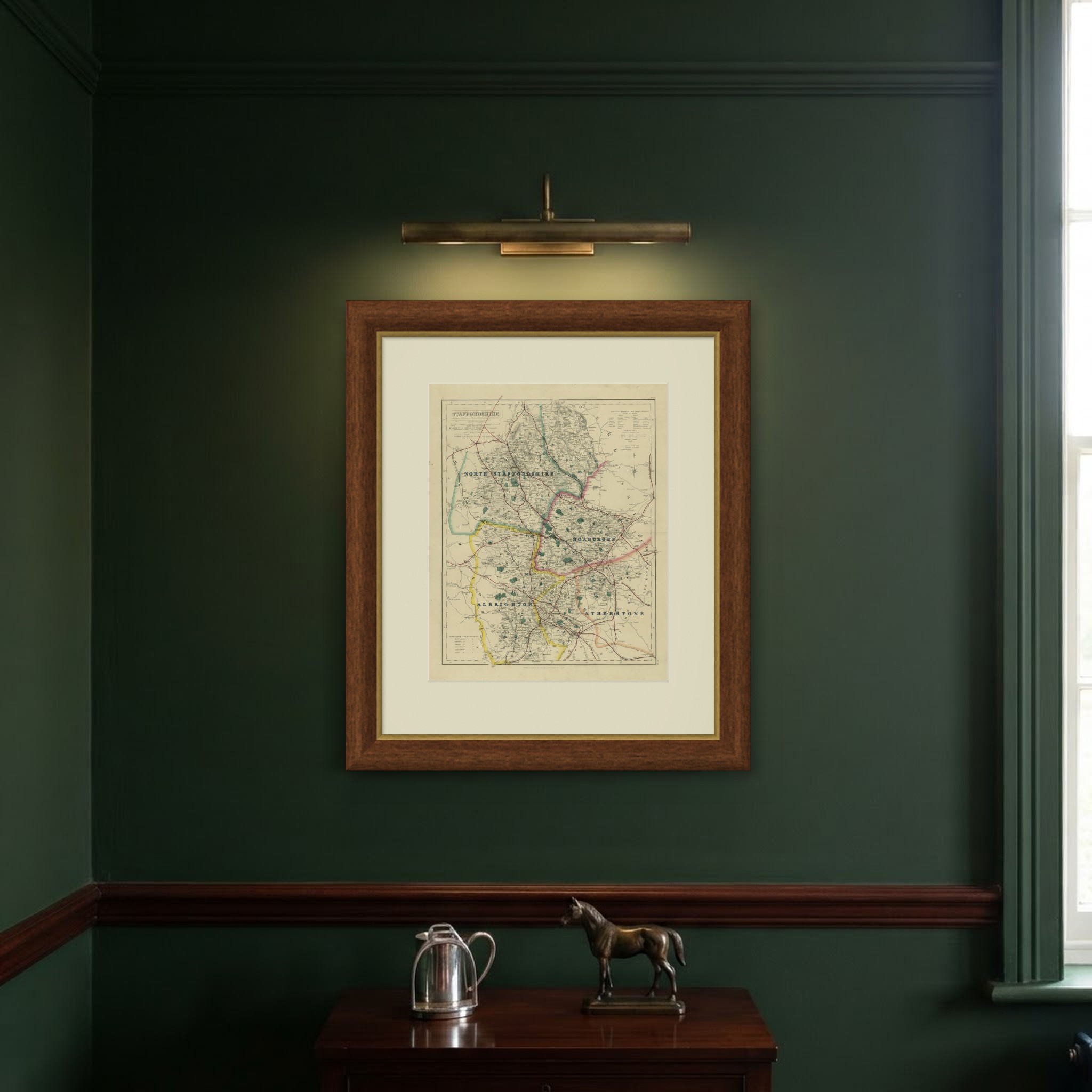
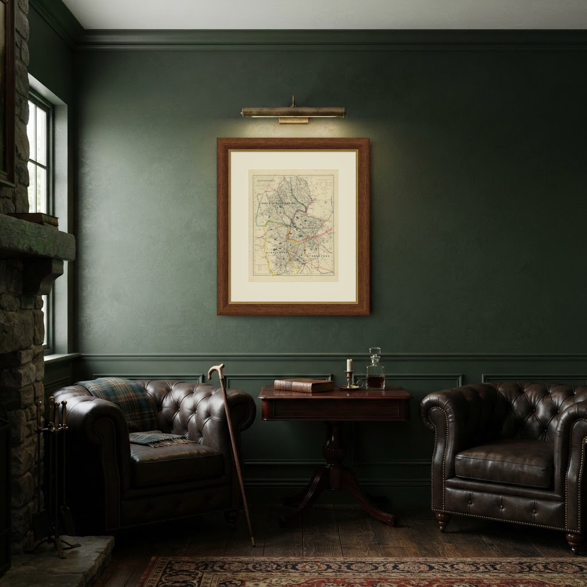
As an original atlas sheet, suitable for framing, this antique fox hunting map of Staffordshire makes a fine piece for a hunting family, a collector of the county or anyone with ties to the place.
The sheet is in good condition for its age, with age toning, a central fold, a small pen mark in the upper right margin and a few small spots. Please review the images for further condition details.
This is an original antique map, not a modern reproduction. This item is sold unframed. Any framed or interior images are shown for presentation and inspiration only, unless the listing explicitly states that the item is sold framed.