About this sheet
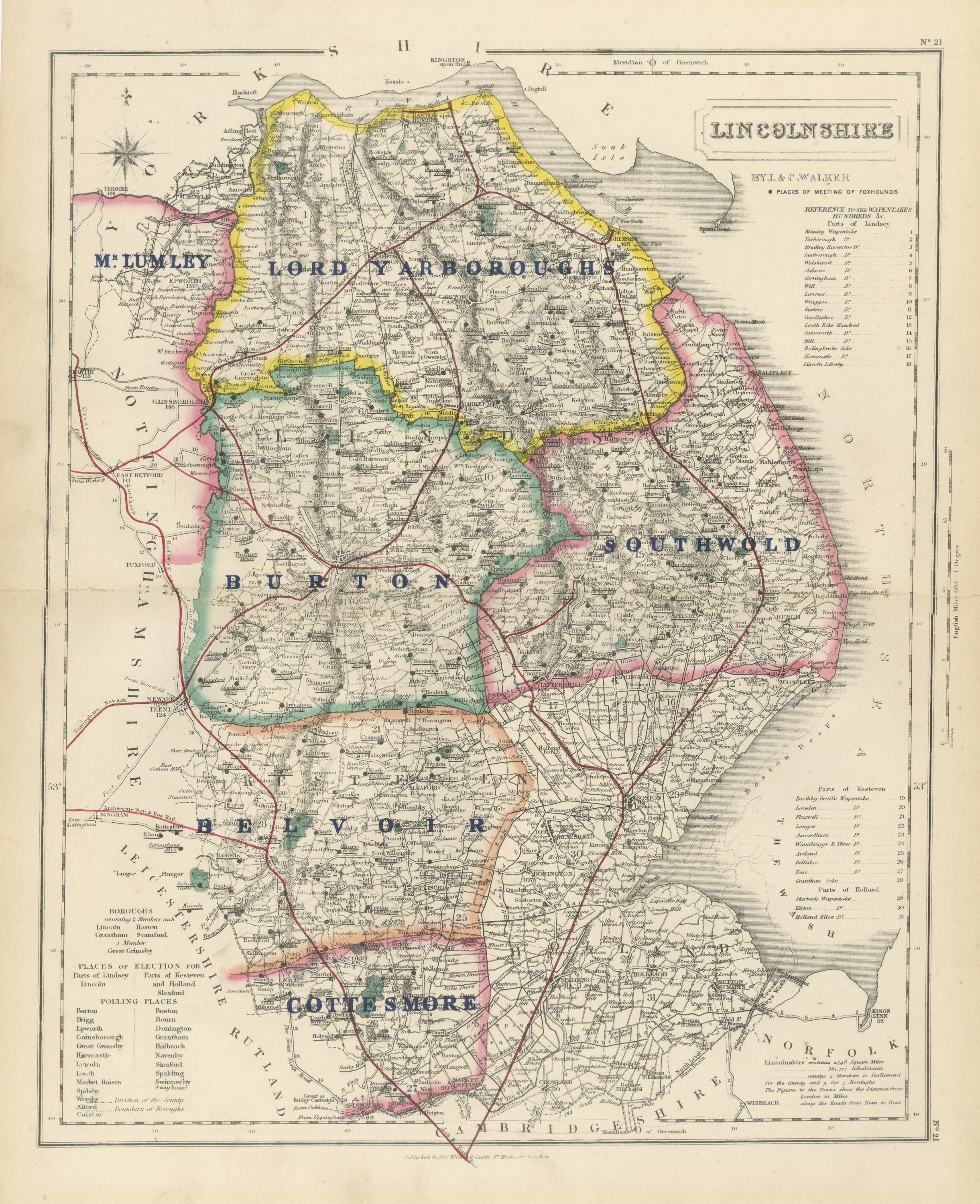
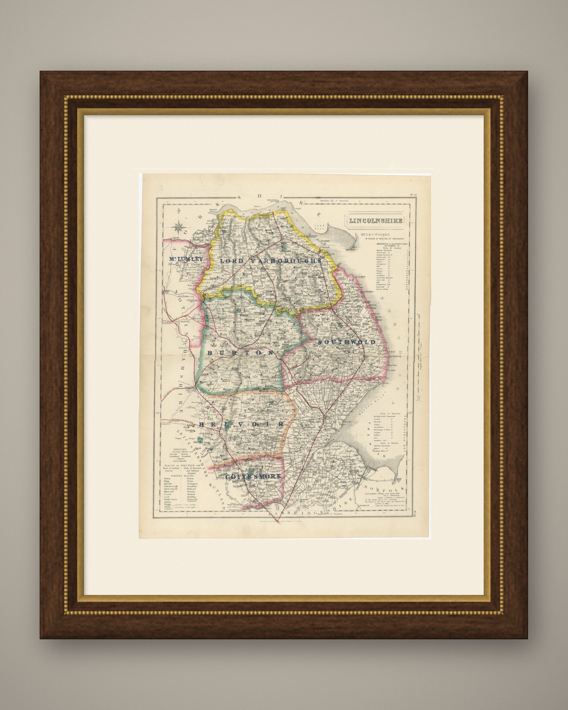
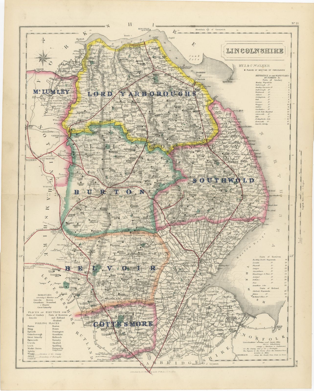
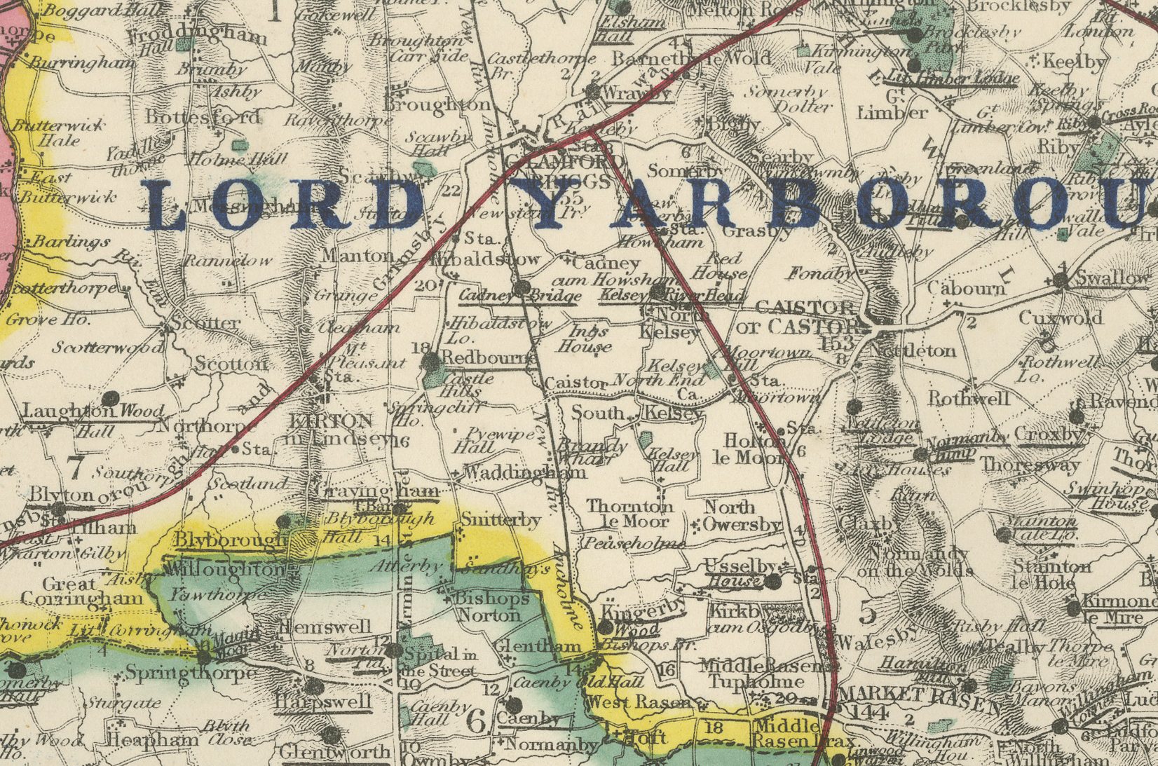
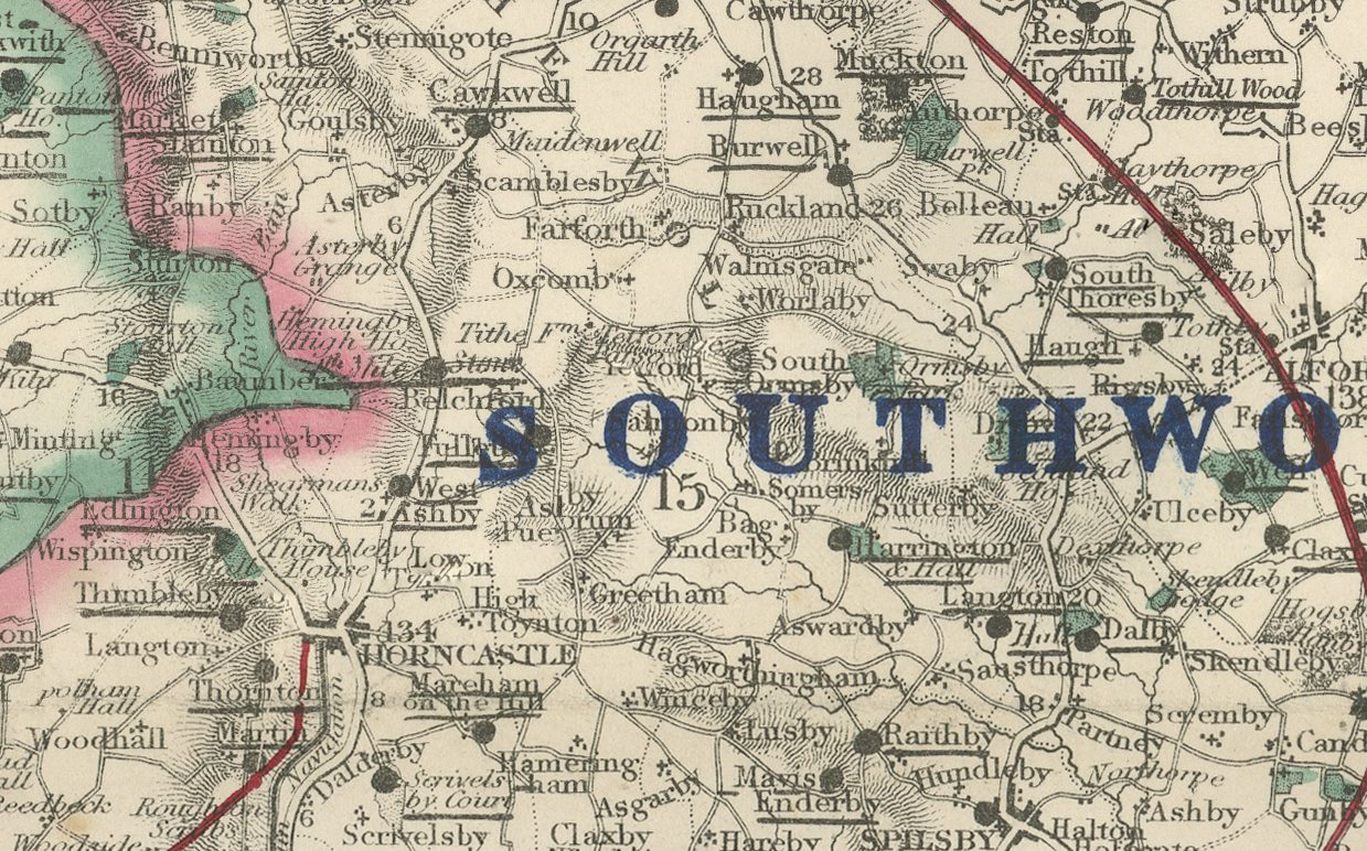
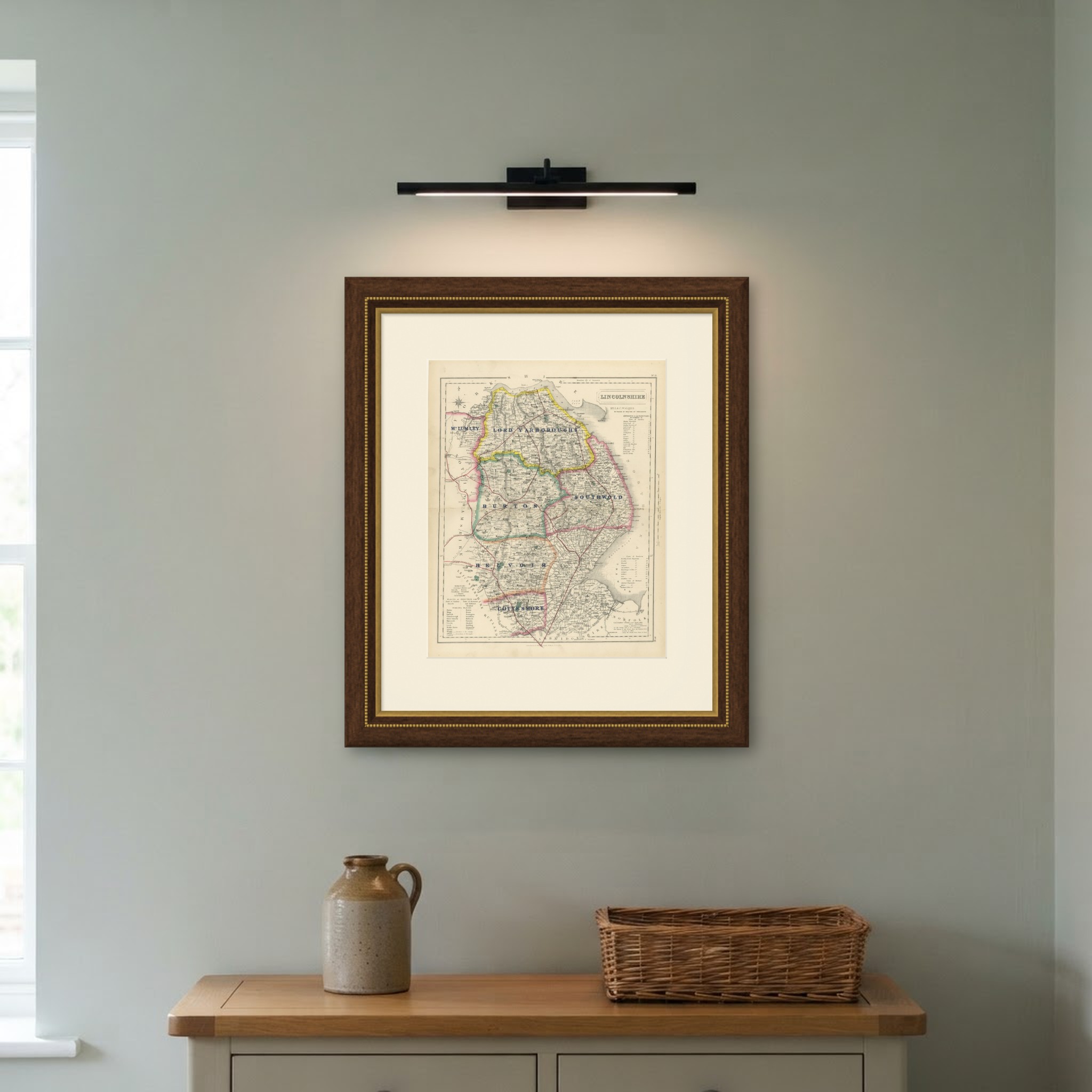
This antique fox hunting map of Lincolnshire, engraved by J. and C. Walker for Hobson's Fox-Hunting Atlas circa 1870, depicts England's second-largest county, divided by hand color into six hunt countries. Lord Yarborough's country, in yellow, stretches across the north from the Humber down past Market Rasen; Burton, in pink, runs through the center-west toward Gainsborough and Lincoln; Southwold, in green, holds the center-south around Sleaford; Belvoir, in pink, follows the south-western border toward Grantham; Cottesmore, in yellow, takes the extreme south-west corner; and Mr Lumley's country, in orange, runs along the southern edge toward Bourne and the Northamptonshire border. The flat, drained fenland of the south-east, the Wash marshes and the country around Boston, is left without hunt color, as the fen is on the Cambridgeshire sheet.
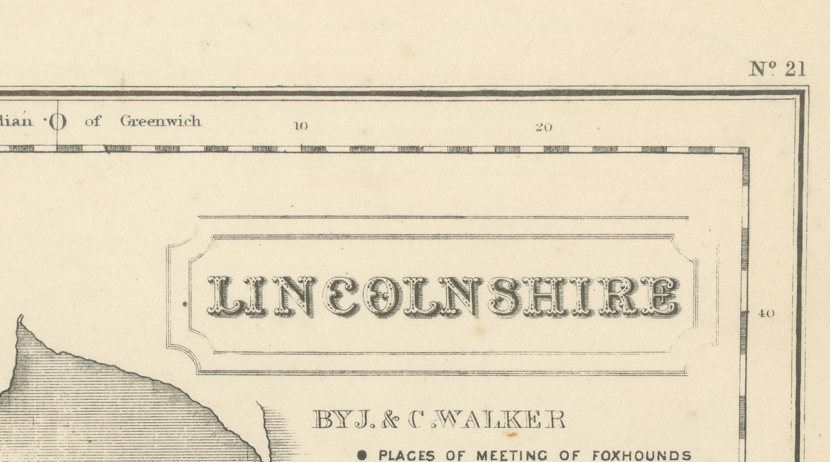
The Lincoln Wolds are rendered in fine hachure running north to south through the center of the county, the Witham and its drainage cuts are drawn in blue past Boston, and the principal railway lines converge on Lincoln and Boston in red. A reference table sits at lower left, and the cartouche with the county name and Walker imprint occupies the upper right.
The process is steel engraving, with the hunt boundaries in original hand color, applied in outline. J. and C. Walker, the London engravers John and Charles Walker, made the plates for William Colling Hobson, who compiled the atlas, and Longman and Company of Paternoster Row published it. First issued around 1850 and reissued into the 1870s, Hobson's Fox-Hunting Atlas covers every county of England and the three Ridings of Yorkshire; this example is from the edition of circa 1870. The hunting territory divides between the Wolds and Marsh packs in the north and the smaller countries bordering Leicestershire and Rutland in the south.
An original atlas sheet, suitable for framing, this antique fox hunting map of Lincolnshire will appeal to hunting families, to collectors of the county and to anyone with a connection to the place.
The sheet is in good condition for its age, with age toning, stronger towards the edges, a central fold and a few small spots in the margins. Please review the images for further condition details.
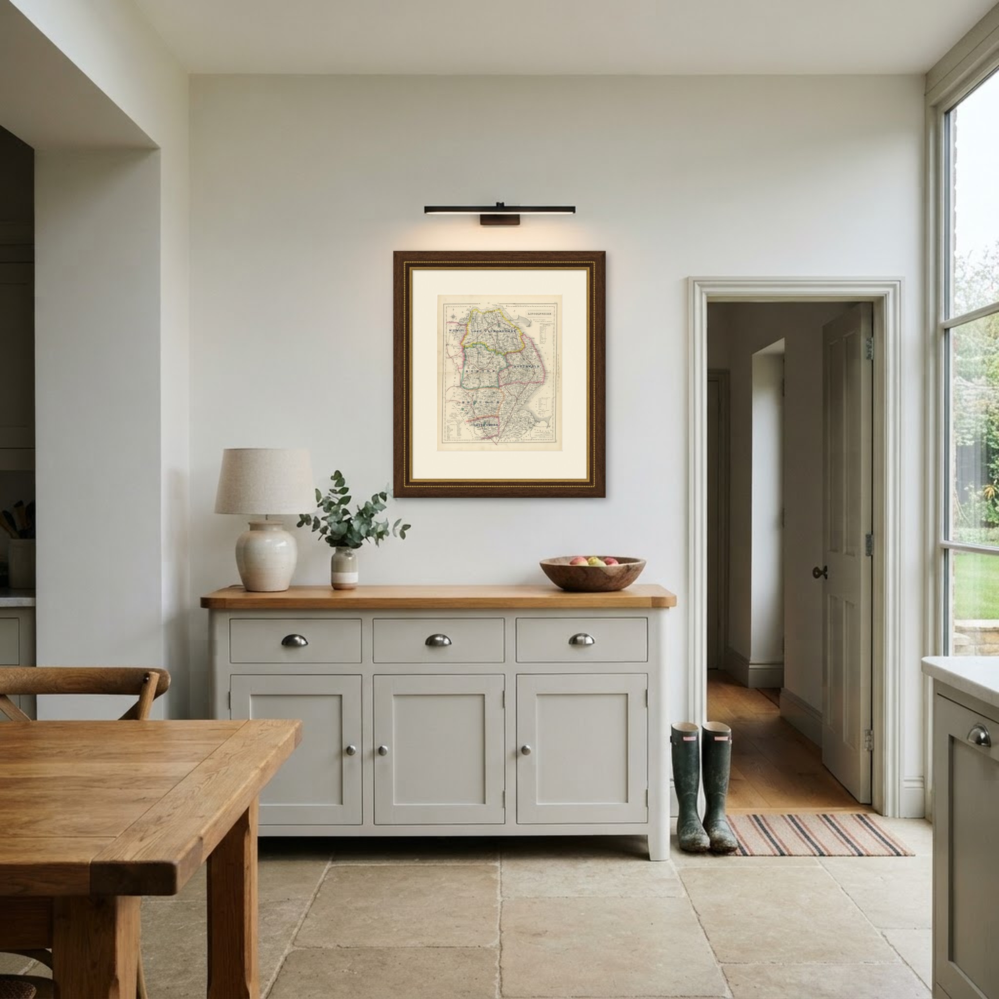
This is an original antique map, not a modern reproduction. This item is sold unframed. Any framed or interior images are shown for presentation and inspiration only, unless the listing explicitly states that the item is sold framed.