Hobson Fox Hunting Map of Leicestershire and Rutland, Quorn Hunt, circa 1870
€ 360
Original antique · The actual sheet photographed · Certificate of authenticity on request · Sold unframed · Worldwide shipping from € 15 (rates)
Date
c. 1870
Mapmaker / artist
J. & C. Walker
Publisher
J. & C. Walker, London
Technique
Steel Engraving
Coloring
Original hand color
Condition
Good
Reference
BG-14239-20
What the condition grades mean
Excellent
Bright and clean, with no faults worth mentioning.
Very good
Only light signs of age, such as faint toning.
Good
Normal signs of age for a sheet of this period: toning, some foxing, small marks or neat old repairs.
Fair
Clear faults such as staining, tears or repairs, priced to match.
Every fault we see is written in the condition note, and the whole sheet is shown uncropped in the photos.
Condition
Good condition for its age. Light age toning and a few small scattered spots in the margins. Please review the images for further condition details.
About this sheet
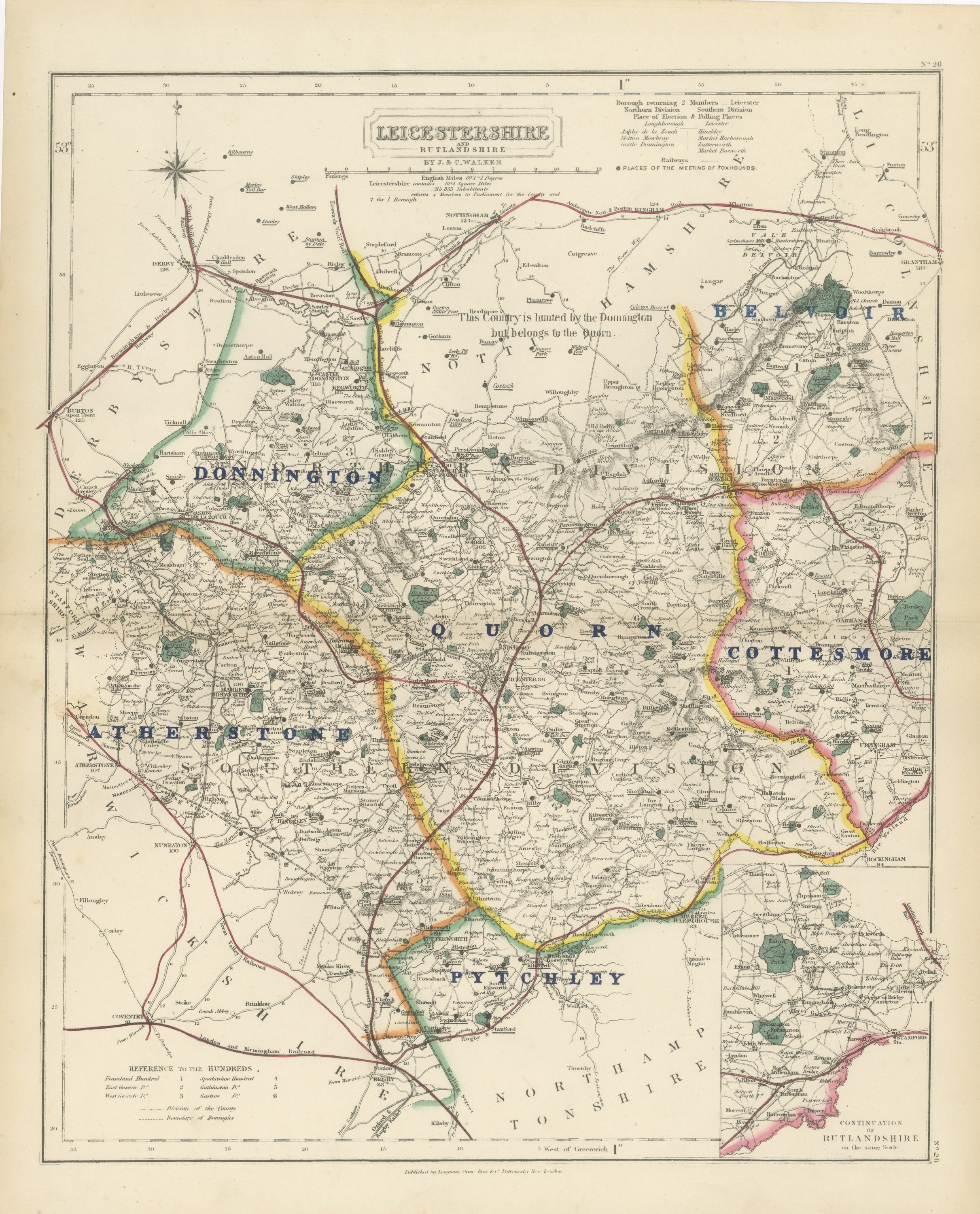
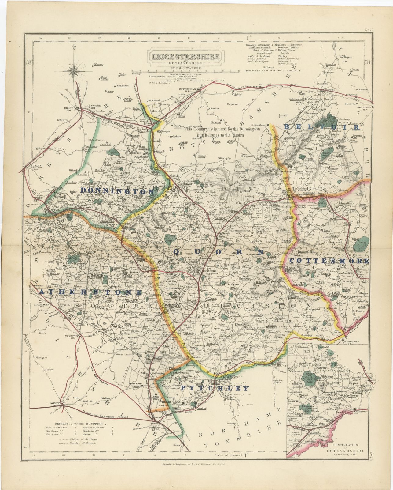
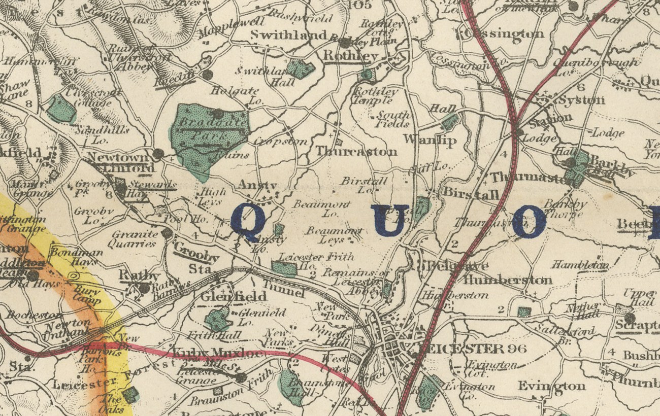
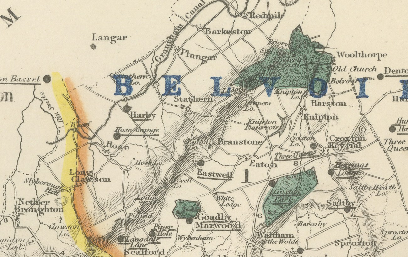
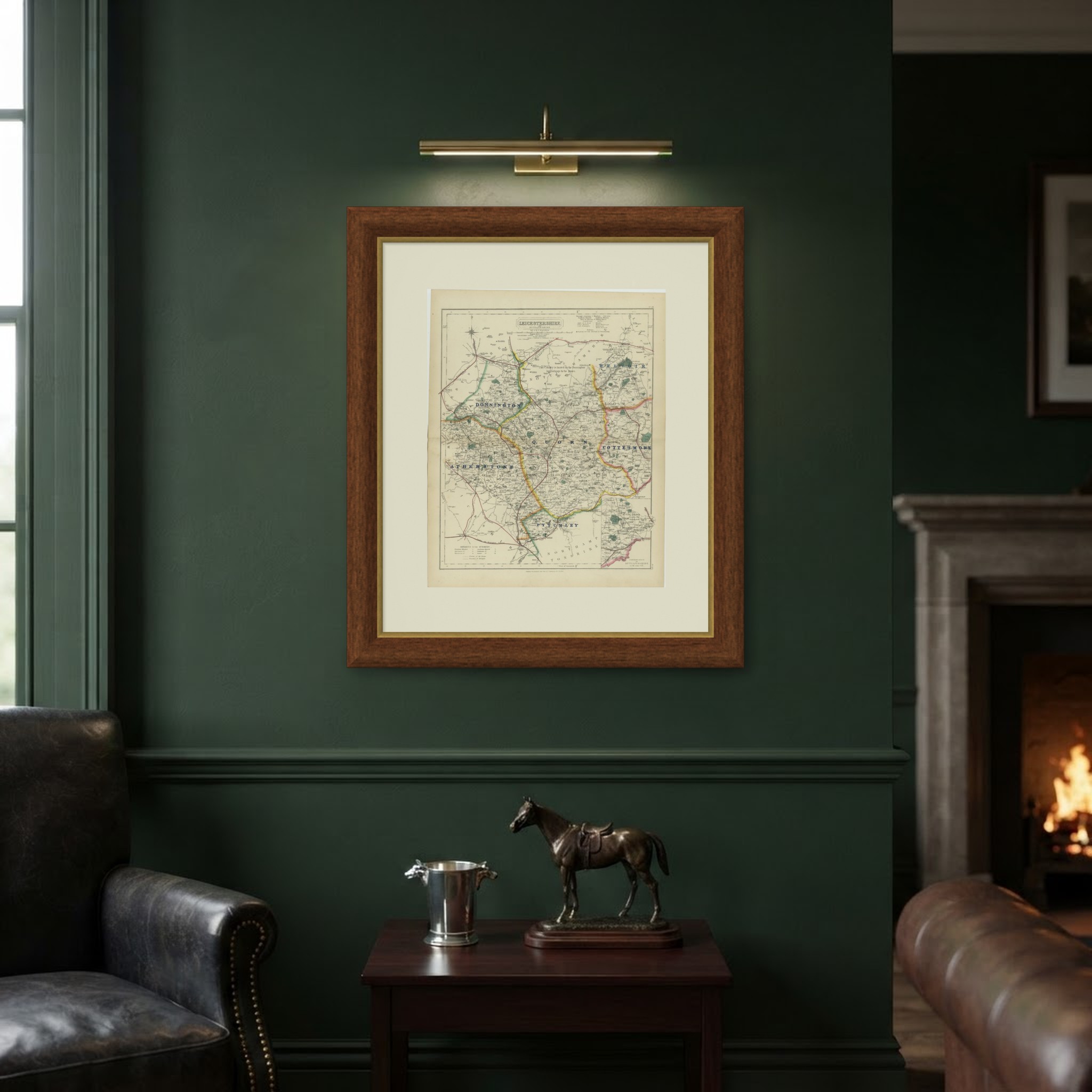
Engraved by J. and C. Walker for Hobson's Fox-Hunting Atlas circa 1870, this antique fox hunting map of Leicestershire and Rutlandshire combines the two small adjoining counties on one plate and colors six hunt countries by hand. Donnington lies in green through the north-west toward Ashby-de-la-Zouch; Quorn, the largest, in yellow, covers the central belt of Leicestershire around Melton Mowbray and Leicester itself; Atherstone in pink along the western border toward Warwickshire; Belvoir in pink through the north-east corner toward Grantham; Cottesmore in yellow across the whole of Rutlandshire in the east; and Pytchley in green in the southern tip toward Northamptonshire.
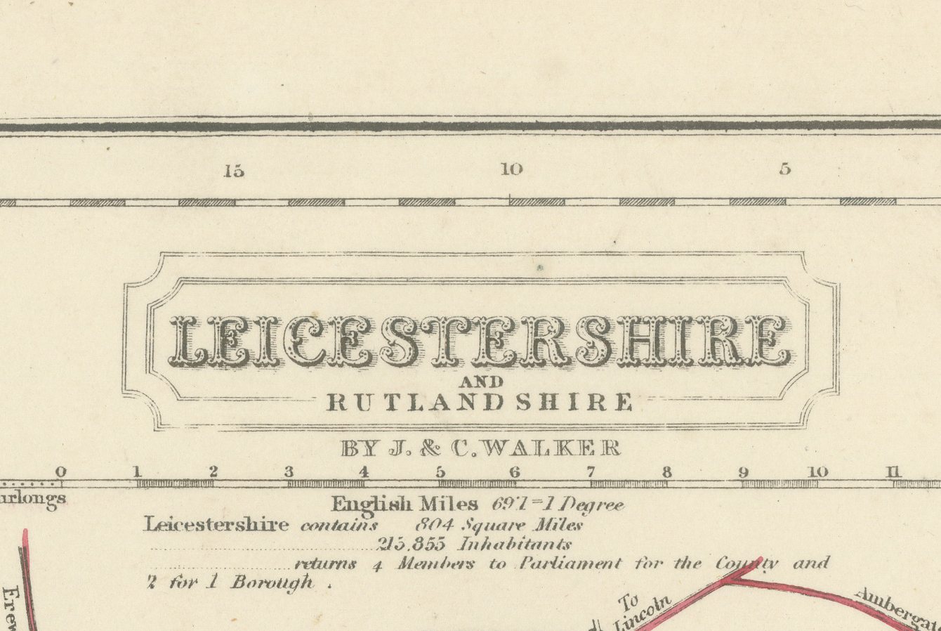
A printed note within the Quorn boundary reads "This country is hunted by the Donnington but belongs to the Quorn," a rare instance of the compilers explaining a gap between customary use and formal ownership of a country. An inset at lower right, headed "Continuation of Rutlandshire on the same scale," takes in the eastern parishes of Rutland that would not otherwise fit on the sheet. The cartouche at upper right carries the county names, the Walker imprint and the statistical note, and the plate is numbered 20.
Hobson's Fox-Hunting Atlas, compiled by William Colling Hobson and published by Longman and Company of Paternoster Row, London, first appeared around 1850 and was reissued into the 1870s; this sheet is from the edition of circa 1870. The plates were steel engraved by J. and C. Walker, and the boundaries of the hunt countries were added in original hand color, in outline, with the places of meeting of the foxhounds marked alongside roads, railways, canals and parks. Quorn, Belvoir, Cottesmore and Pytchley between them covered much of the grazing land that made Leicestershire the acknowledged center of Victorian fox hunting.
As an original atlas sheet, suitable for framing, this antique fox hunting map of Leicestershire and Rutlandshire makes a fine piece for a hunting family, a collector of the county or anyone with ties to the place.
The sheet is in good condition for its age, with light age toning and a few small scattered spots in the margins. Please review the images for further condition details.
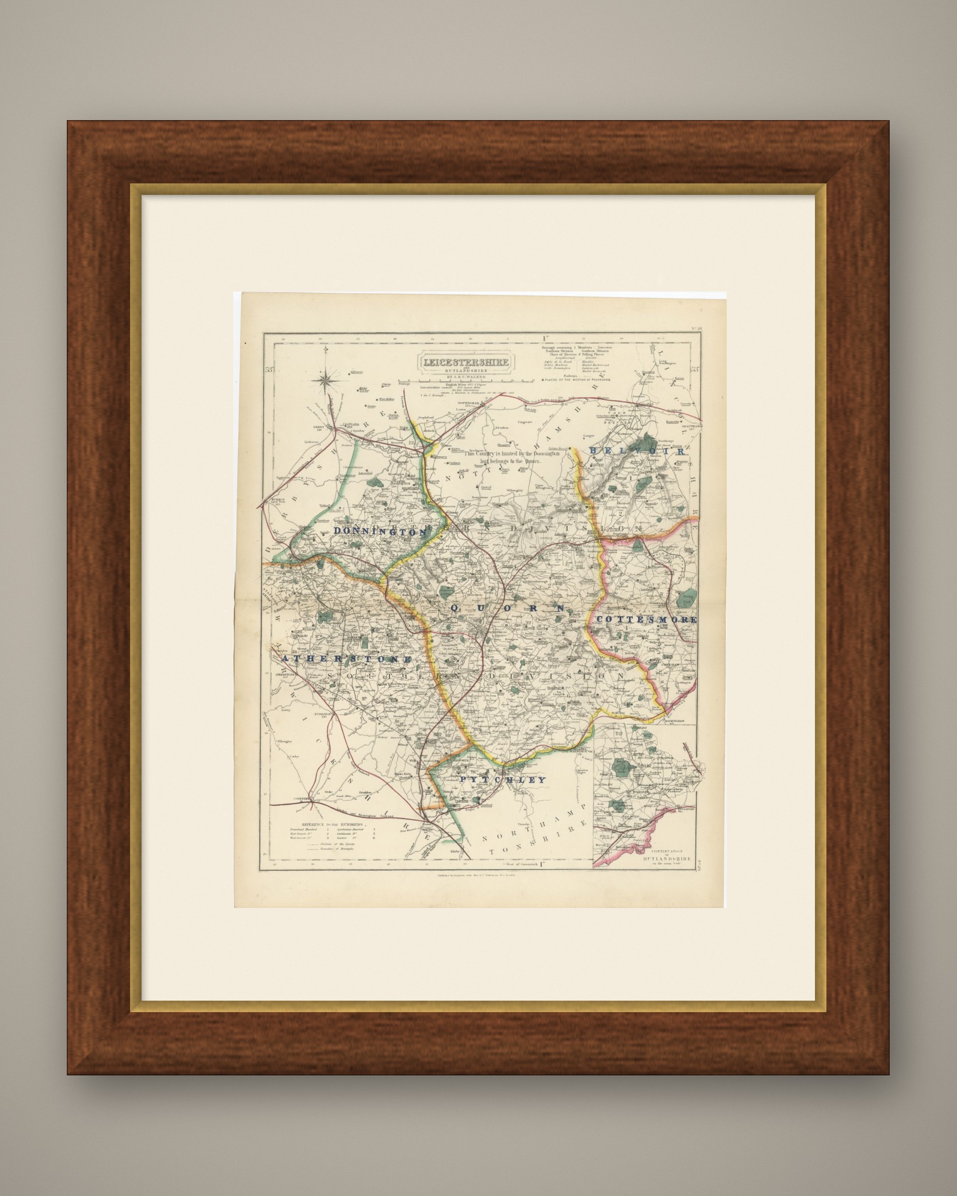
This is an original antique map, not a modern reproduction. This item is sold unframed. Any framed or interior images are shown for presentation and inspiration only, unless the listing explicitly states that the item is sold framed.