About this sheet
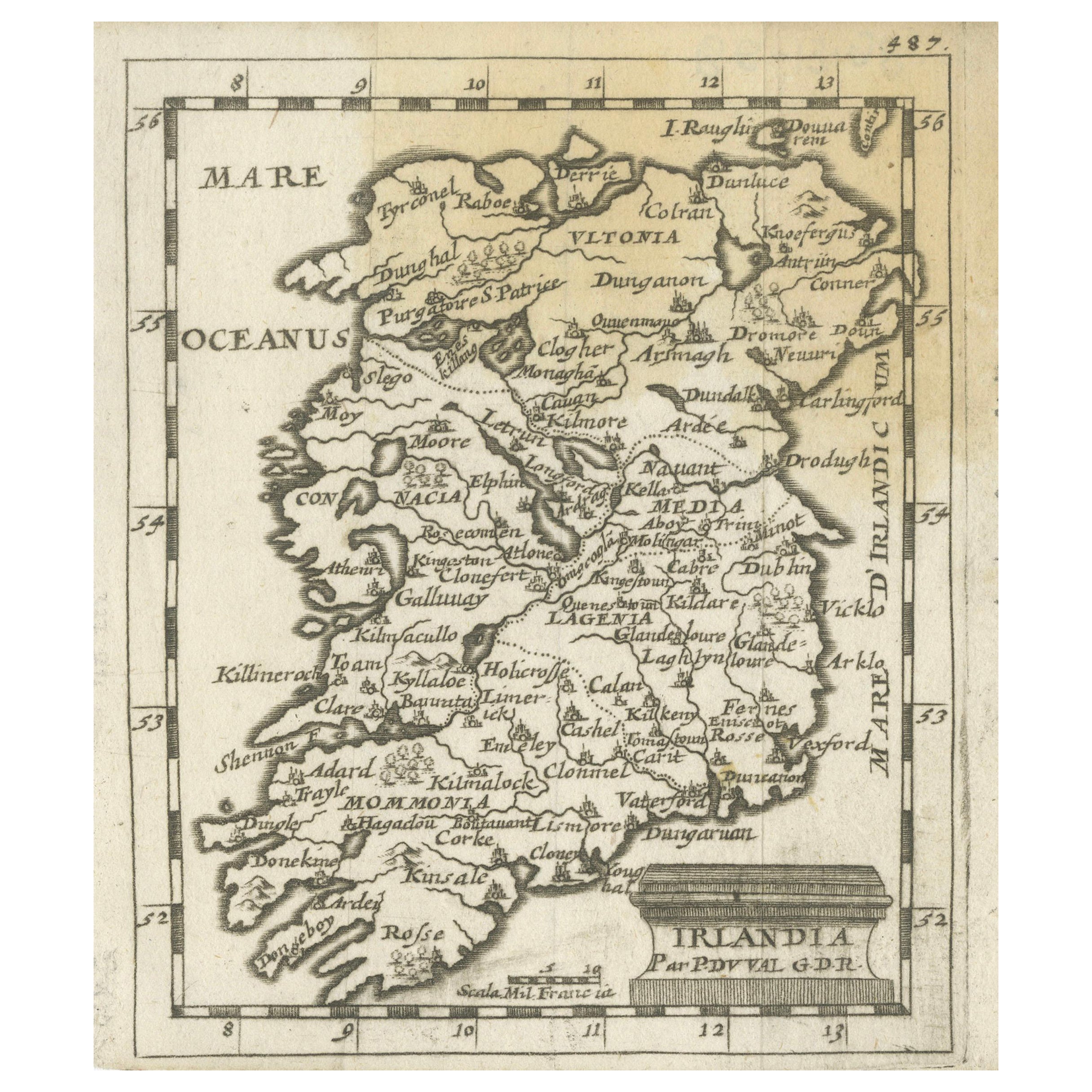
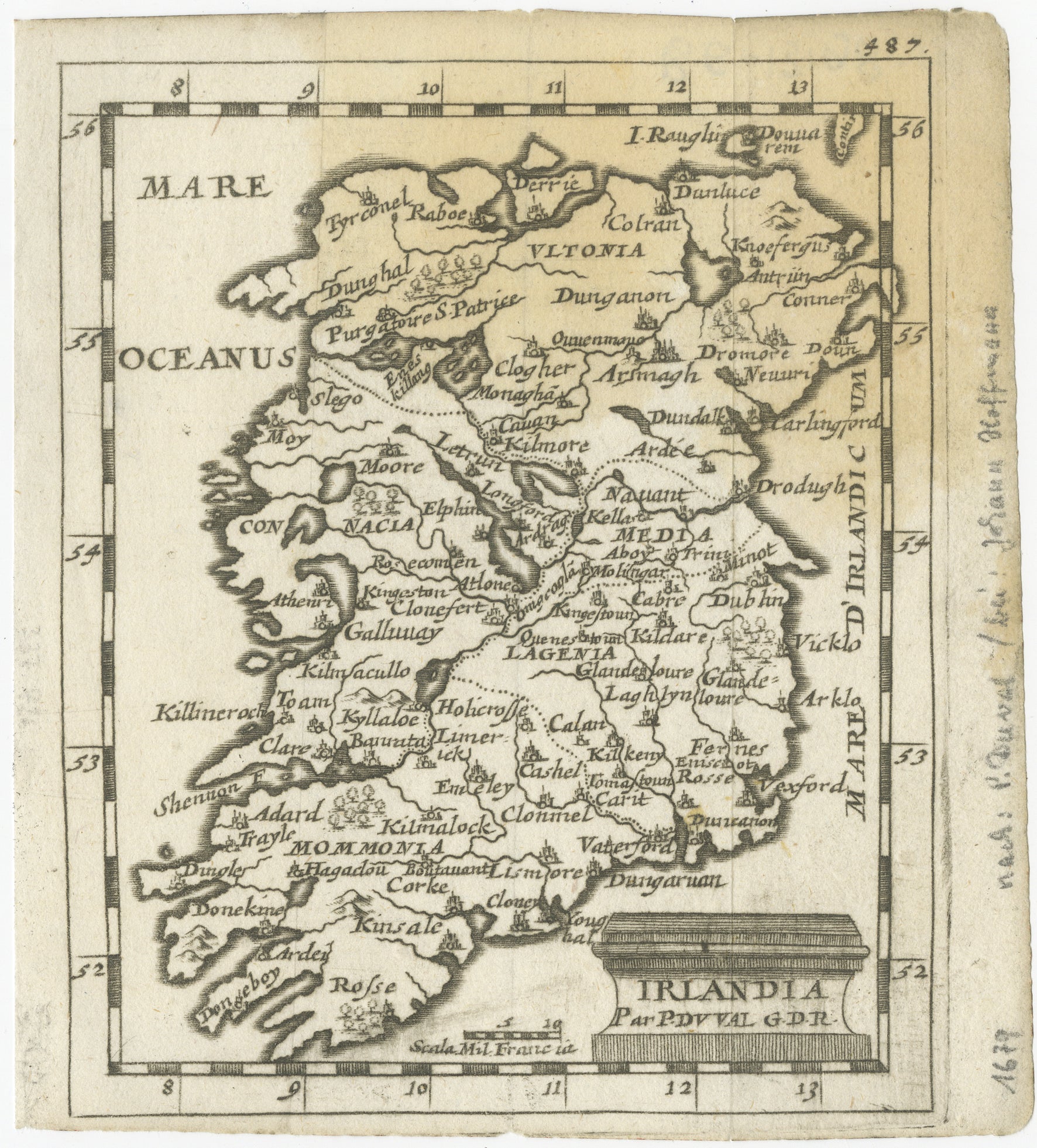
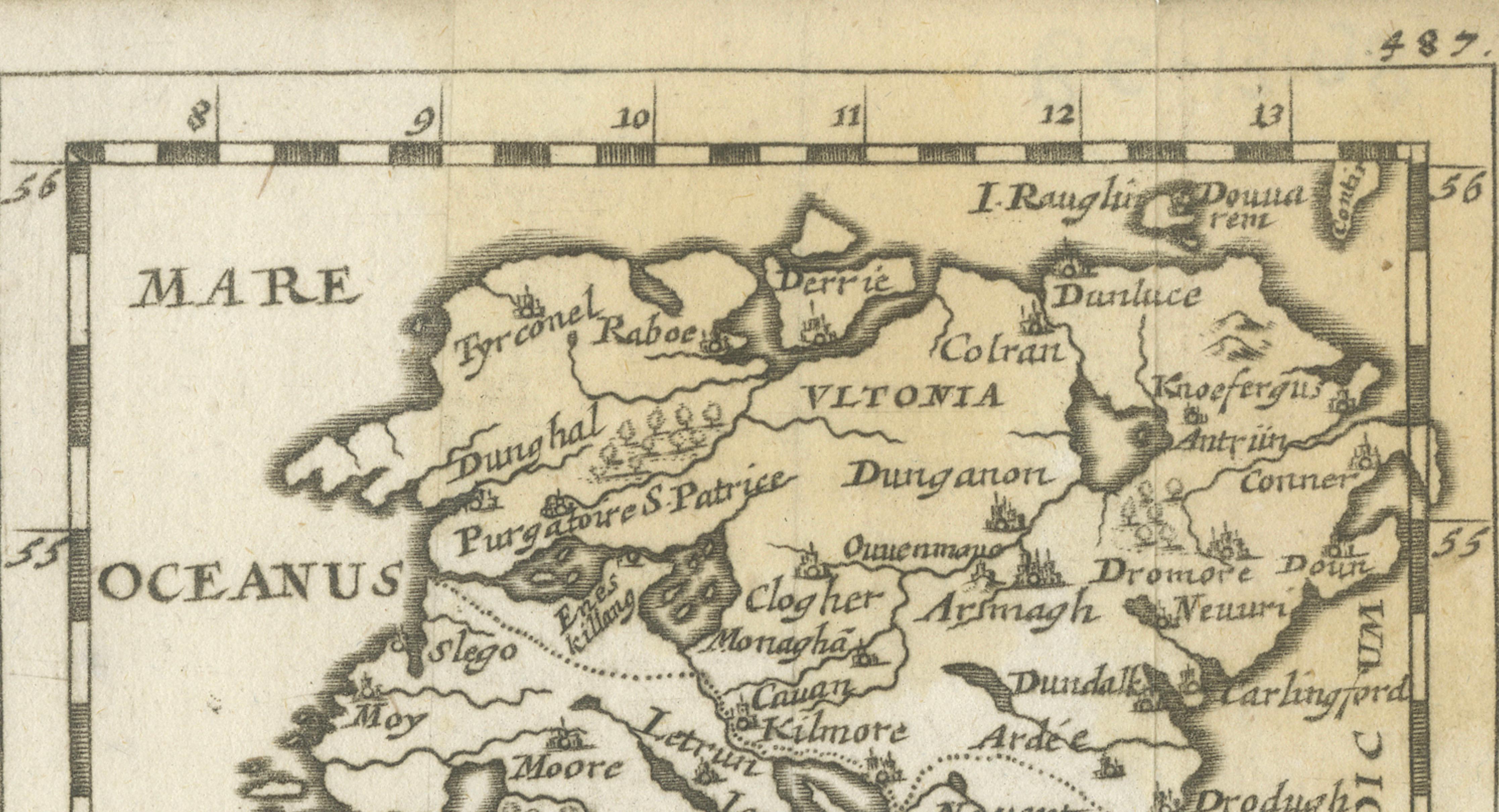
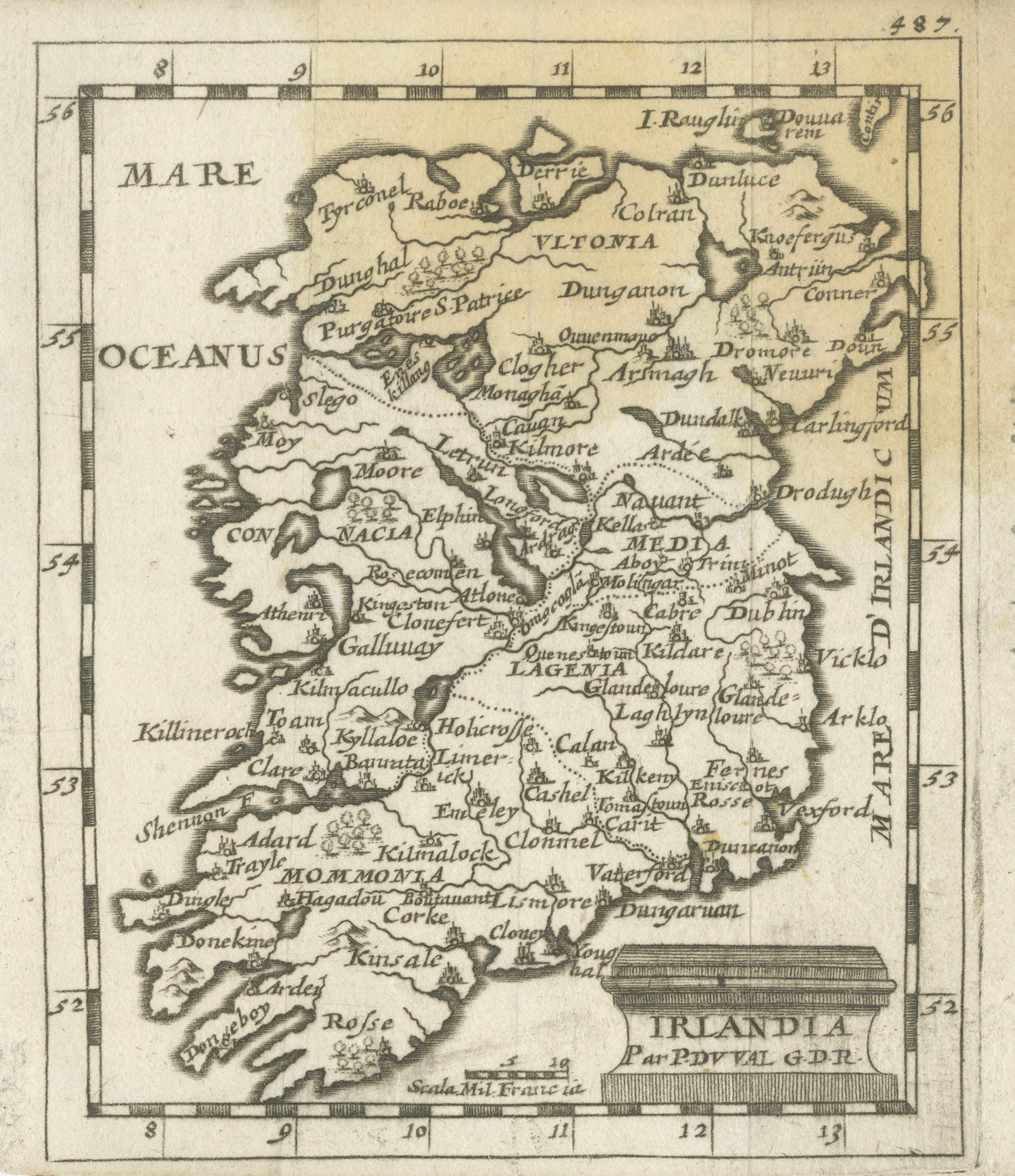
This original antique map depicts the island of Ireland under the Latin title “Irlandia” and presents the country divided into its historic provinces and regions. The map is engraved in a clear, compact format and shows Ireland in full, bordered by latitude markings and surrounded by the Atlantic Ocean, here labeled “Oceanus.” The coastline is boldly delineated, with prominent bays, headlands, and inlets clearly articulated, reflecting the cartographic priorities of the mid-17th century.
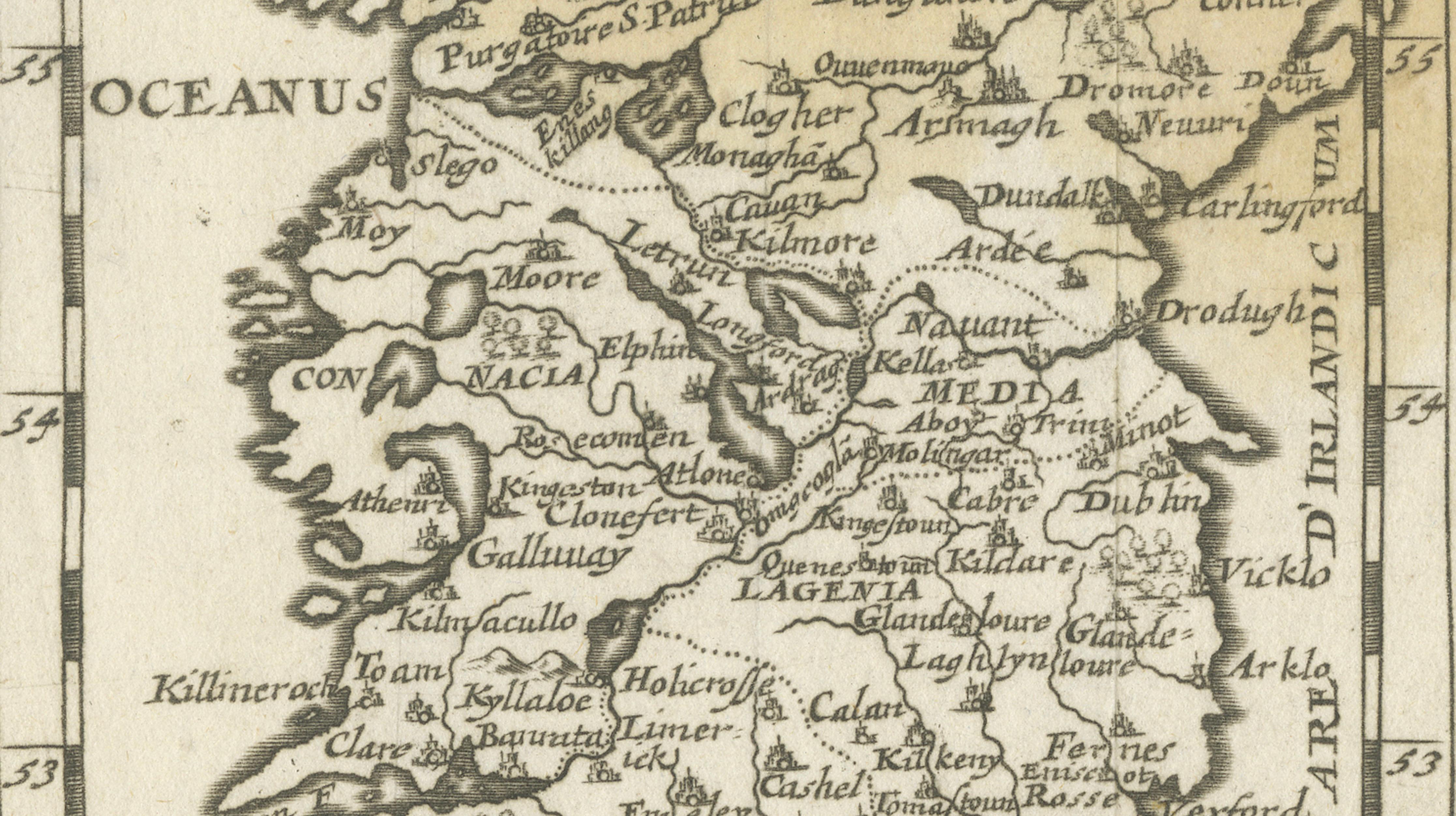
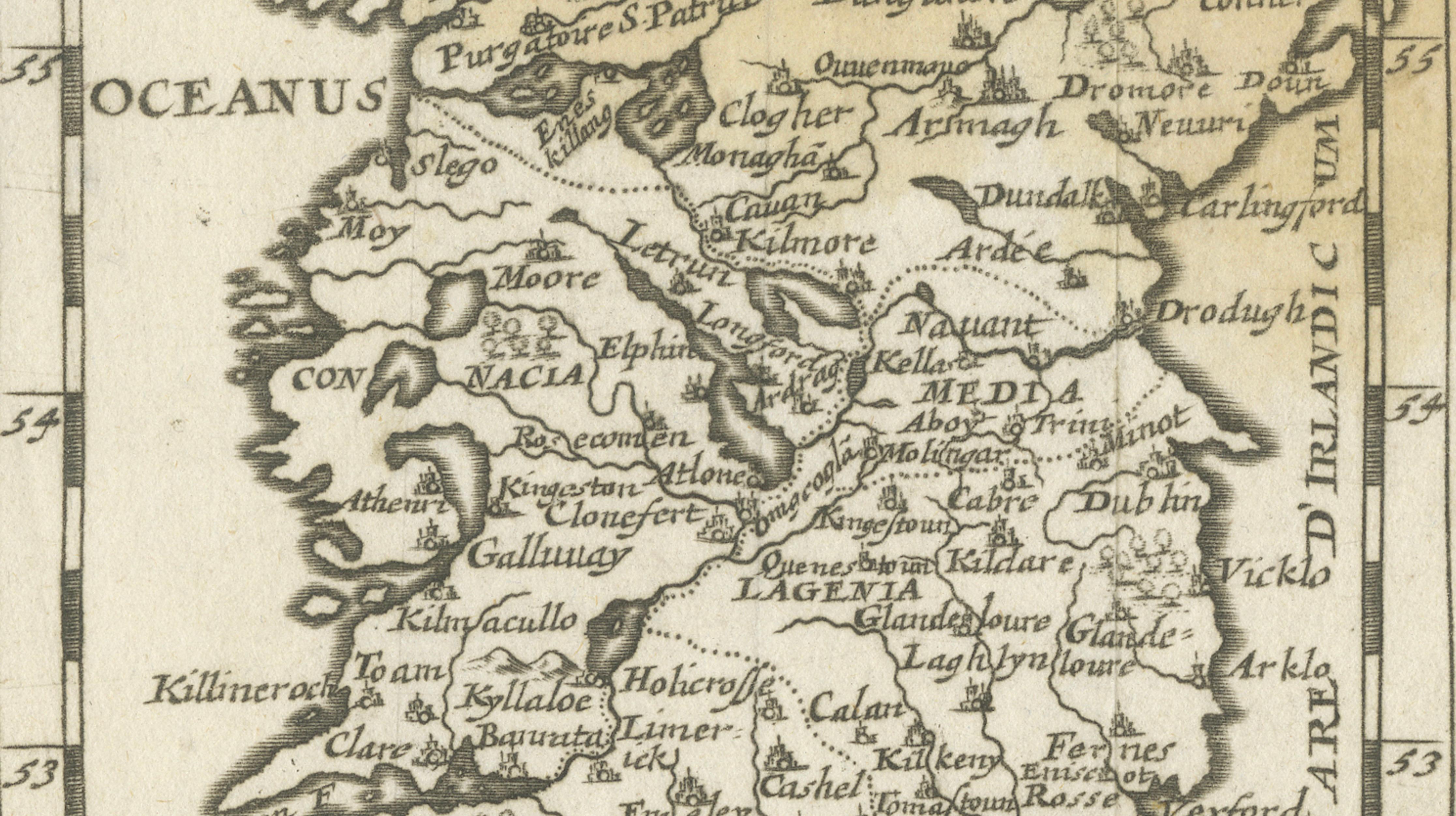
The interior is densely labeled with towns, rivers, and regional names. Historic provinces such as Ultonia (Ulster), Connacia (Connacht), Lagenia (Leinster), and Momonia (Munster) are clearly identified. Numerous towns and settlements appear, including Dublin, Cork, Limerick, Waterford, Kilkenny, Galway, Athlone, and Armagh, among many others. Rivers and lakes are engraved schematically, providing geographic orientation rather than measured precision, consistent with period mapping practices.
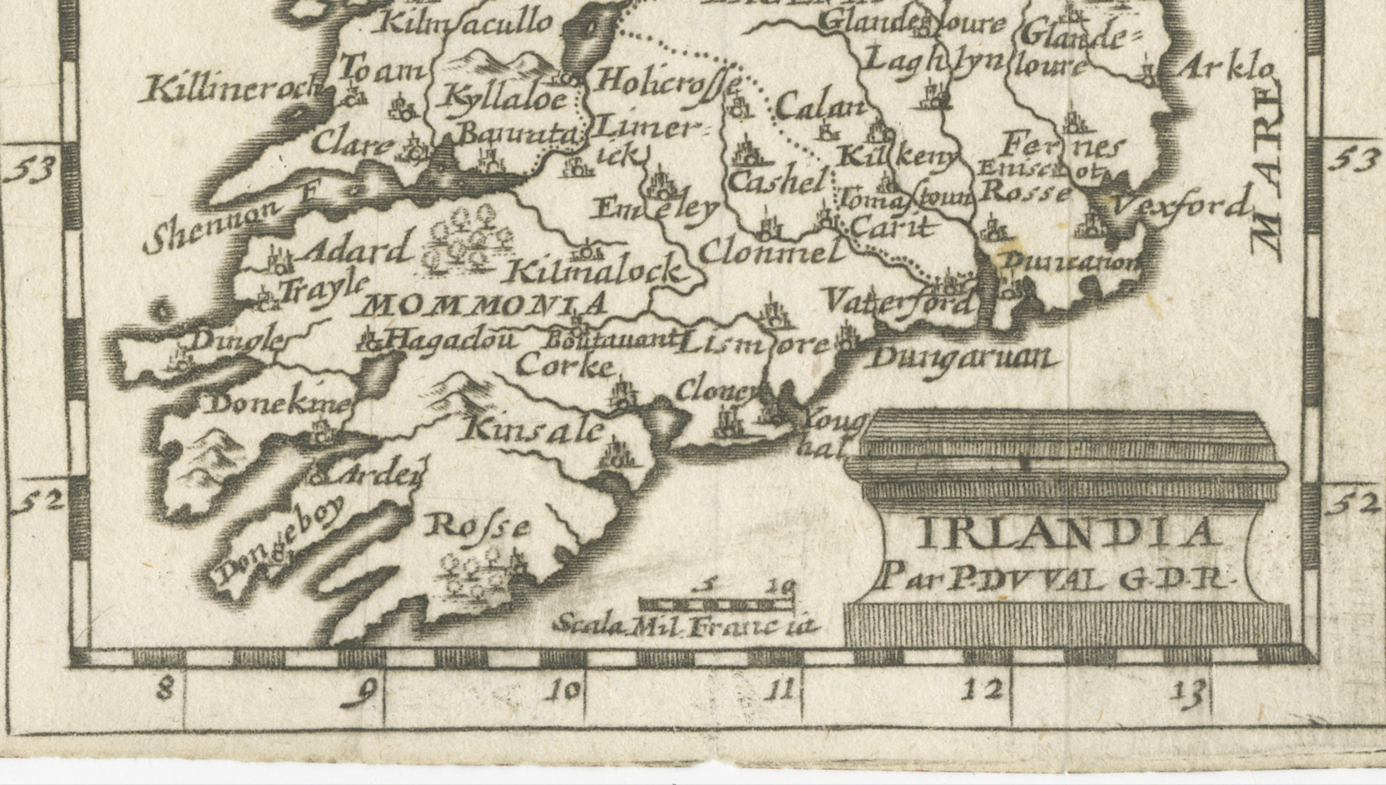
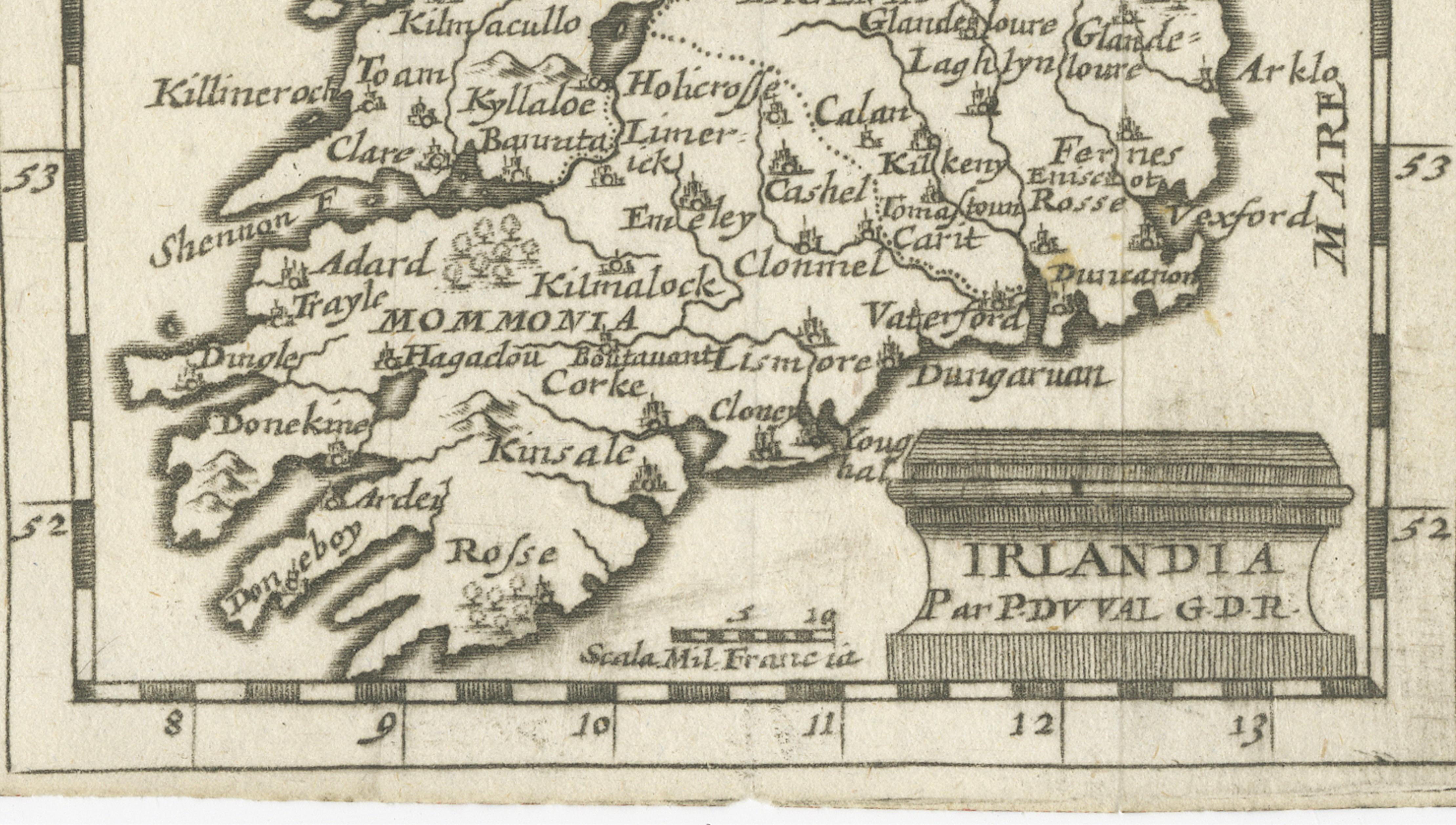
The map is engraved in Latin and features a restrained title cartouche at the lower right reading “Irlandia,” followed by the credit “Par P. Du Val G.D.R.” This attribution links the map to the French cartographic tradition associated with the Du Val family, active in Paris during the 17th century and known for producing compact, informative maps for atlases and geographic compendia. A simple scale appears at the bottom, engraved as “Scala Milliaria Gallica,” indicating French miles.
The engraving is monochrome, without later color, emphasizing the clarity of line work and typography. This map is both an appealing historical document and a classic example of early modern European views of Ireland.
Condition report:
Overall age-related toning and light wear. Small margins with some edge irregularity. Minor creasing and light surface wear consistent with age. No major losses.
Framing tips:
Float-mount with a light cream or soft grey mat to preserve the original edges. A natural wood or dark brown frame complements the understated engraving and historic character.
Technique: Copper engraving
Maker: Par P. Du Val G.D.R.
Date: circa mid-17th century