About this sheet
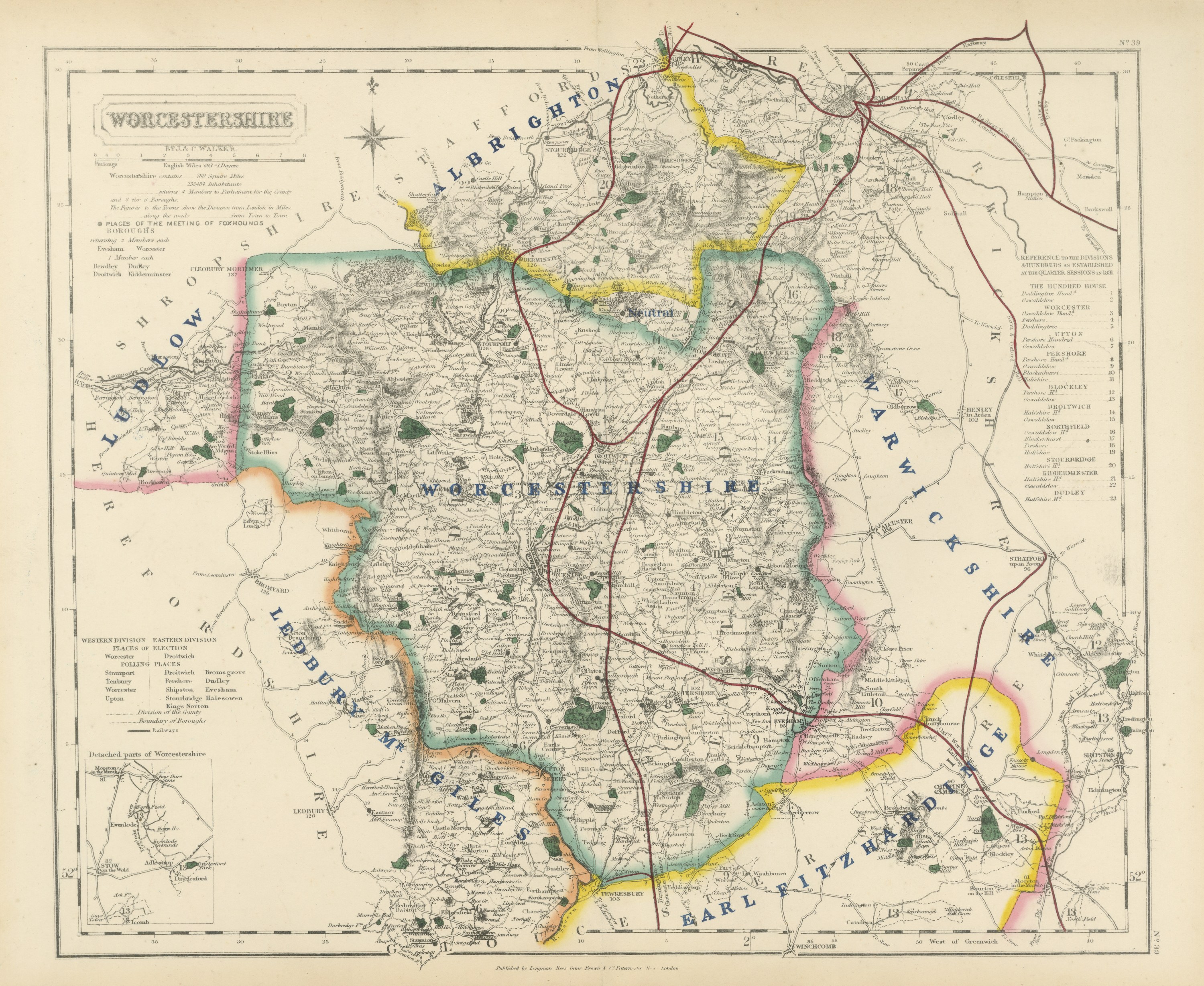
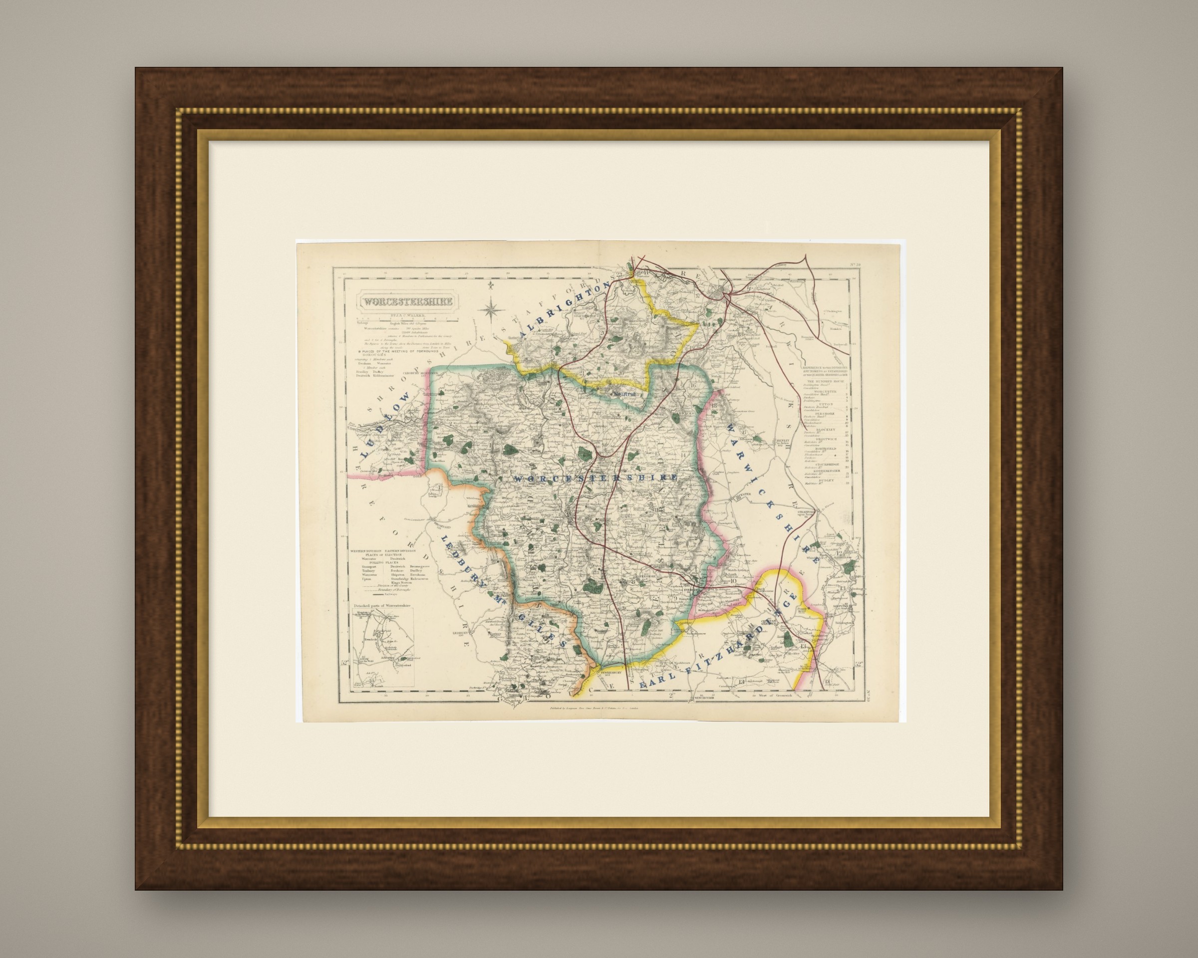
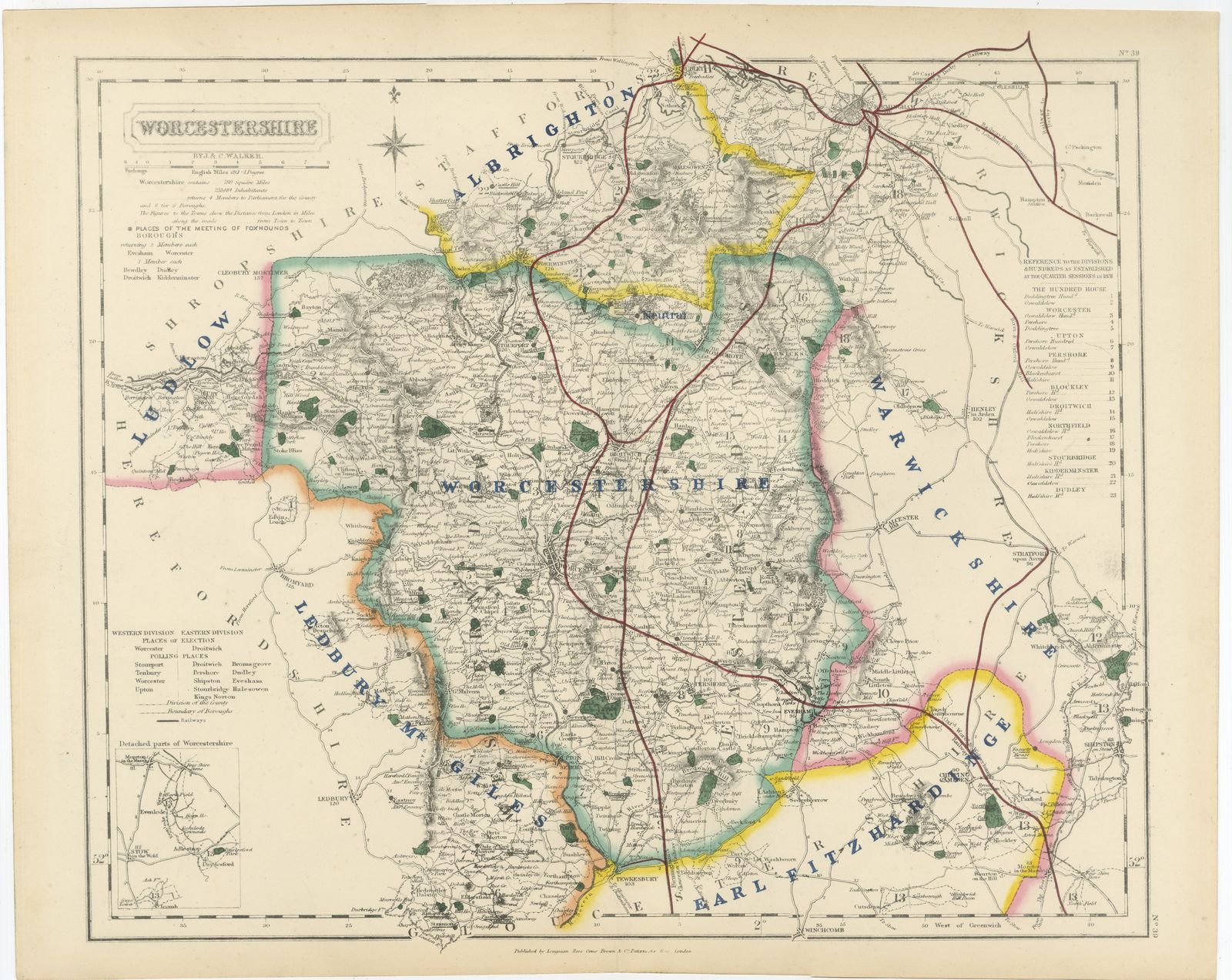
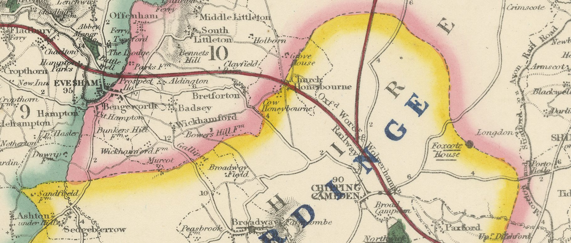
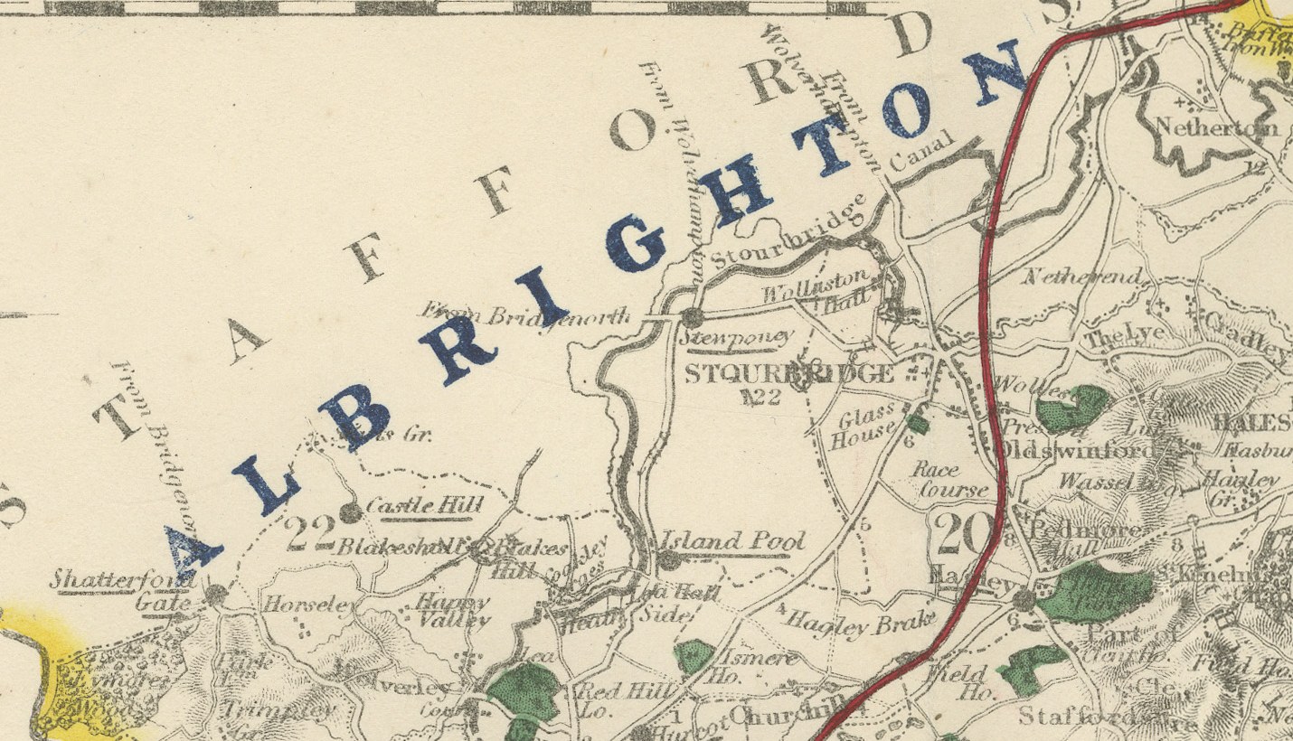
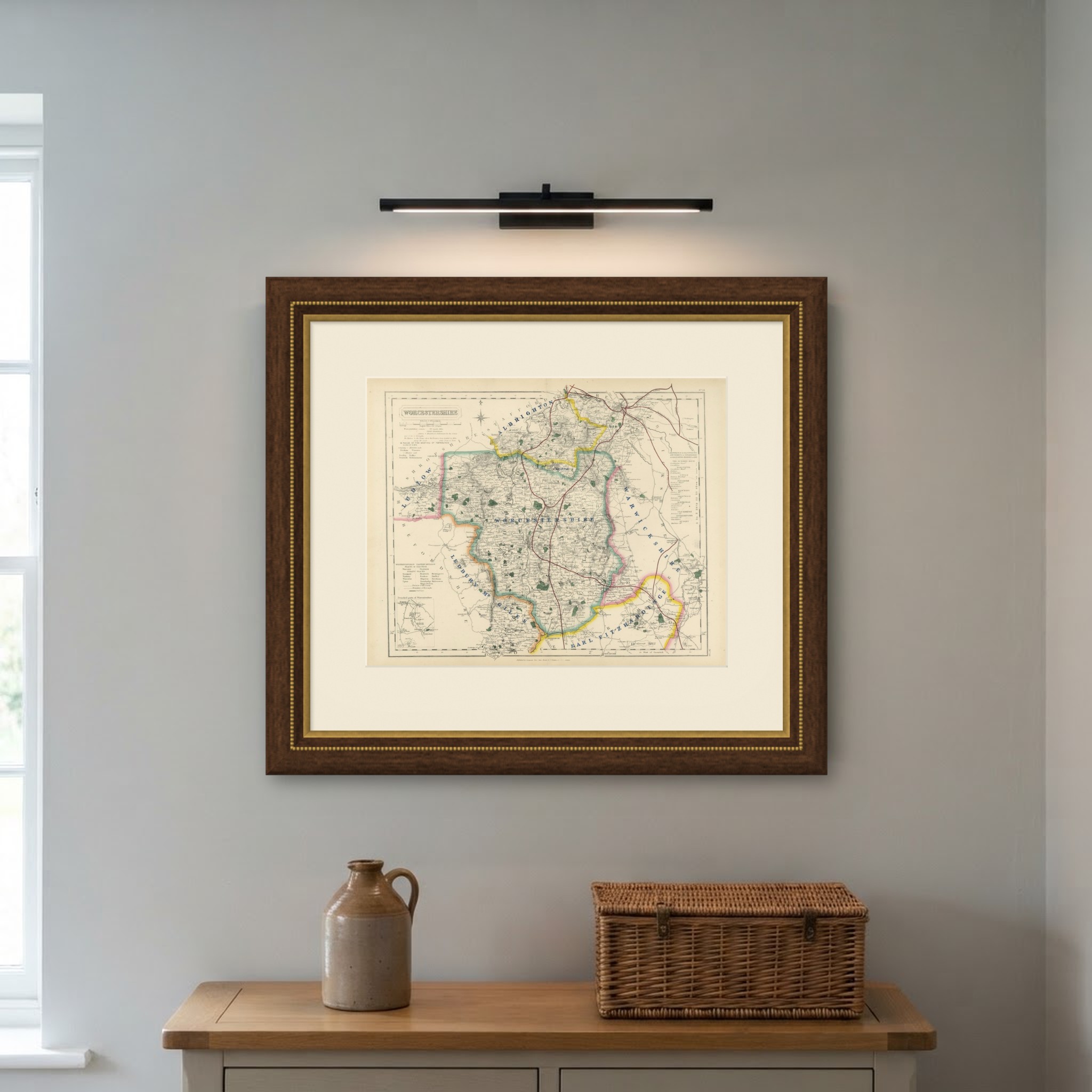
This antique fox hunting map of Worcestershire, engraved by J. and C. Walker for Hobson's Fox-Hunting Atlas circa 1870, shows six hunt countries colored by hand. Albrighton, in yellow, crosses the north toward Stourbridge and Kidderminster; Ludlow, in pink, lies in the west toward the Herefordshire border; "Ledbury Mr Giles," in orange, follows the south-western edge; Worcestershire itself is lettered in blue across the center around the city; Warwickshire, in pink, runs along the eastern border; and Earl Fitzhardinge's country, in yellow, covers the south toward Tewkesbury and the Gloucestershire border. An inset at lower left shows the detached parts of Worcestershire, historically scattered among neighboring counties.
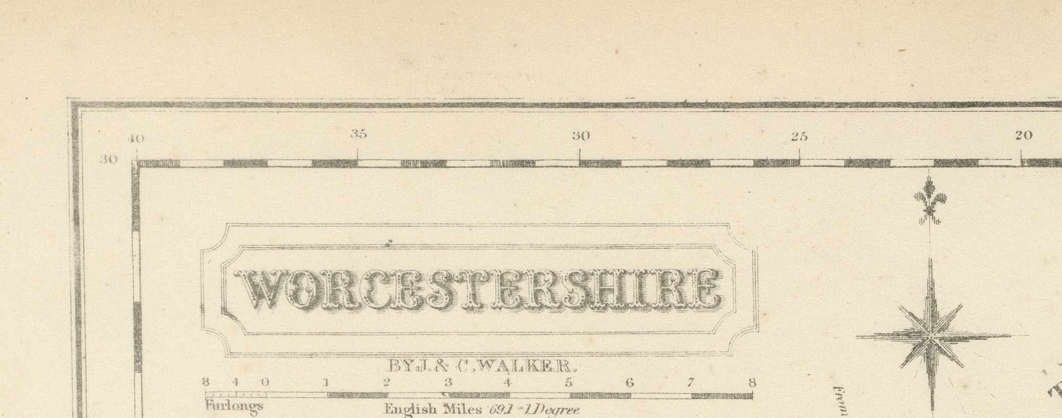
The Severn runs broad and blue through the center past Worcester, the Malvern Hills are rendered in heavy hachure along the south-western edge, and the county's hop yards and orchards are shown in unusually dense green stipple, much as on the neighboring Herefordshire sheet. A reference table for the hundreds and divisions sits at upper right, and the cartouche occupies the upper left corner.
The process is steel engraving, with the hunt boundaries in original hand color, applied in outline. J. and C. Walker, the London engravers John and Charles Walker, made the plates for William Colling Hobson, who compiled the atlas, and Longman and Company of Paternoster Row published it. First issued around 1850 and reissued into the 1870s, Hobson's Fox-Hunting Atlas covers every county of England and the three Ridings of Yorkshire; this example is from the edition of circa 1870. Like Durham's, this sheet records a county whose boundary was fragmented into detached outliers, a feature the compilers thought worth a dedicated inset even on a relatively small county plate.
This antique fox hunting map of Worcestershire is an original sheet from the atlas and is suitable for framing; it is of particular interest to hunting families, to collectors of the county and to anyone with a connection to the place.
The sheet is in good condition for its age, with age toning, stronger towards the edges, a central fold and a few small spots in the margins. Please review the images for further condition details.
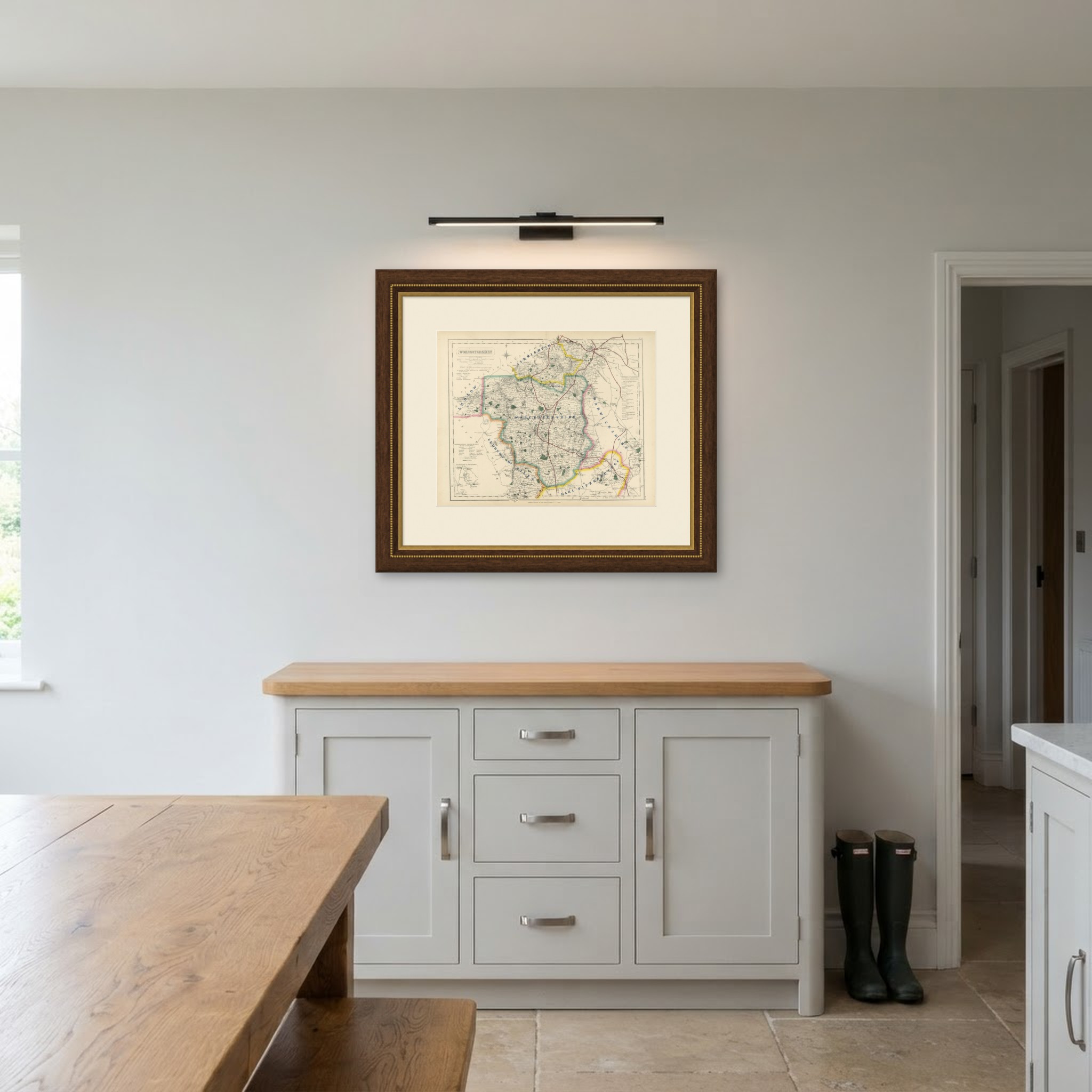
This is an original antique map, not a modern reproduction. This item is sold unframed. Any framed or interior images are shown for presentation and inspiration only, unless the listing explicitly states that the item is sold framed.