About this sheet
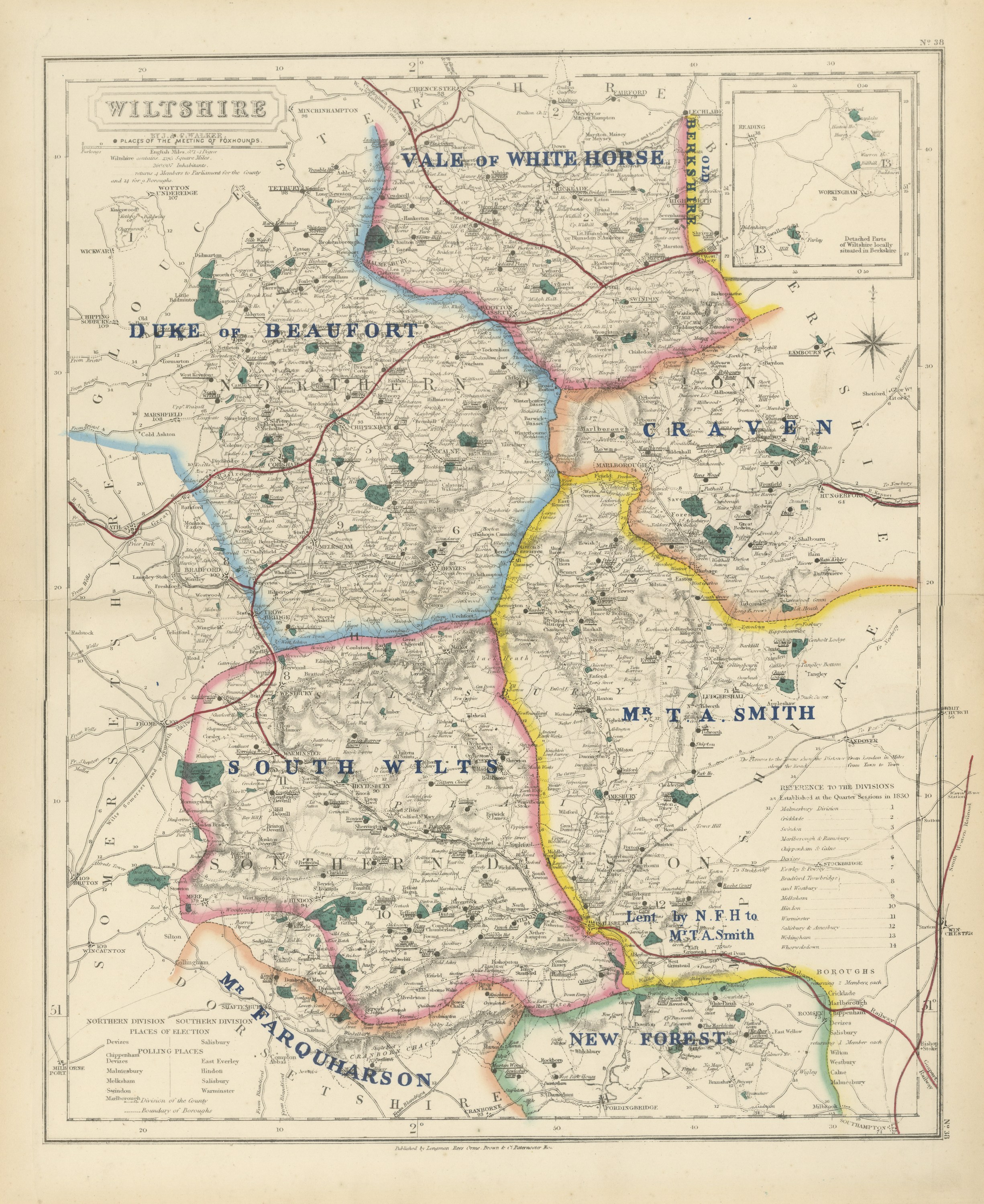
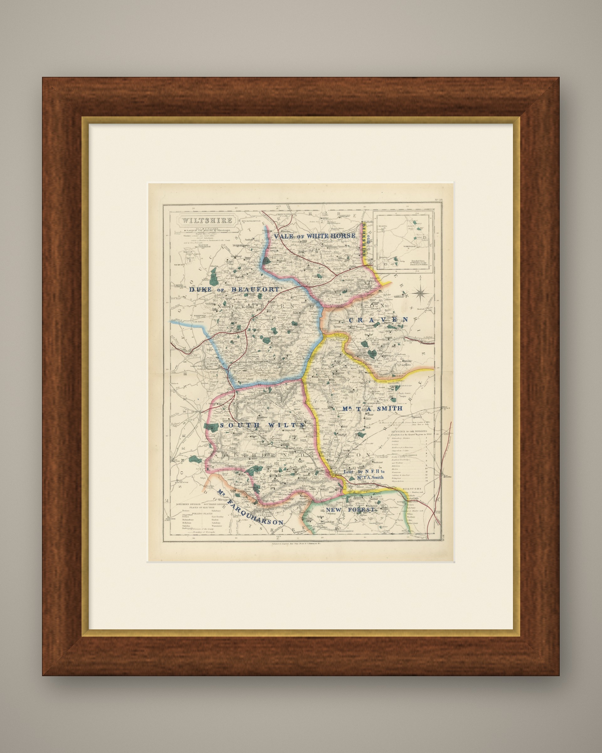
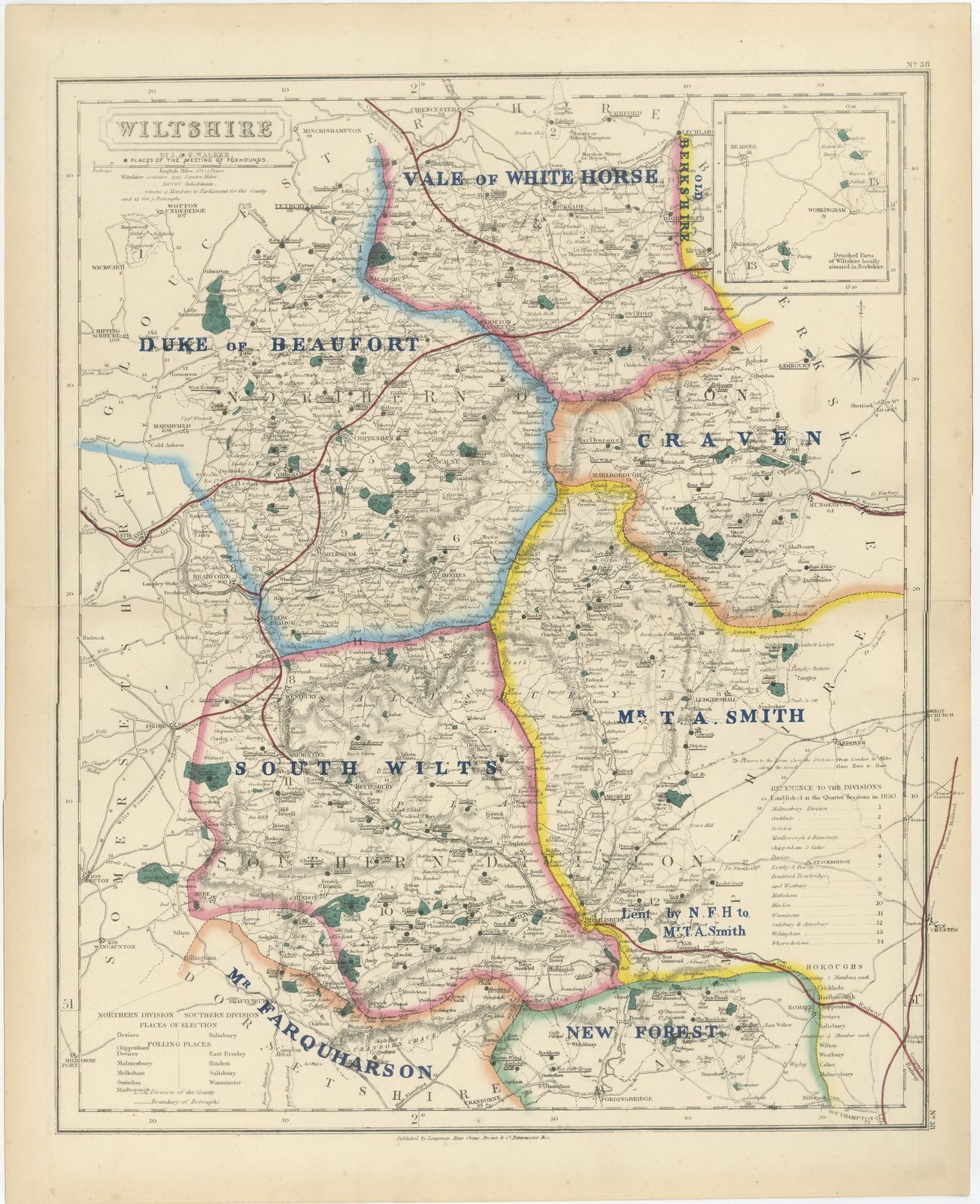
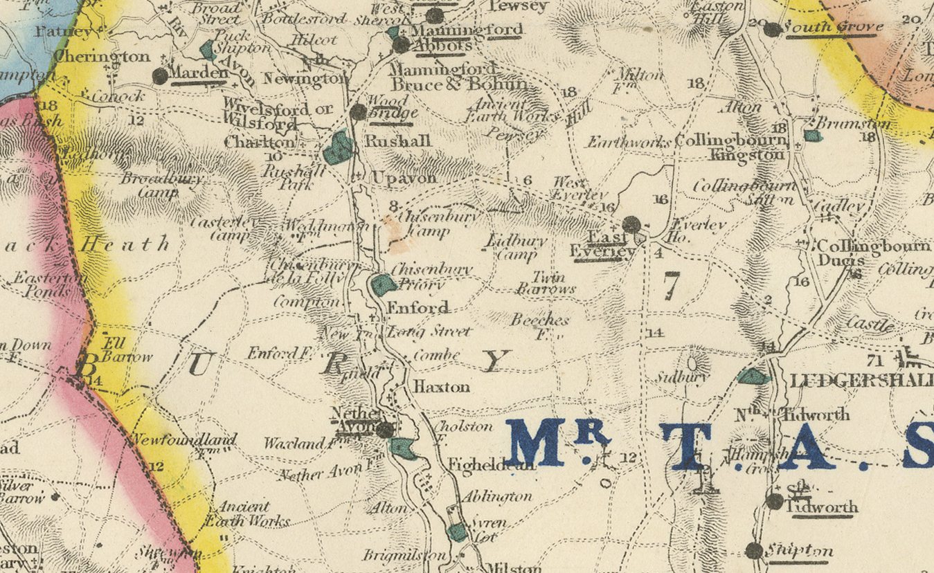
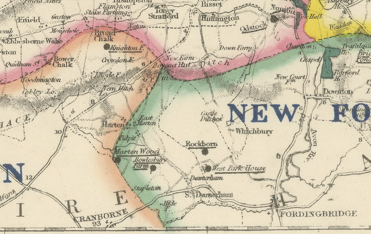
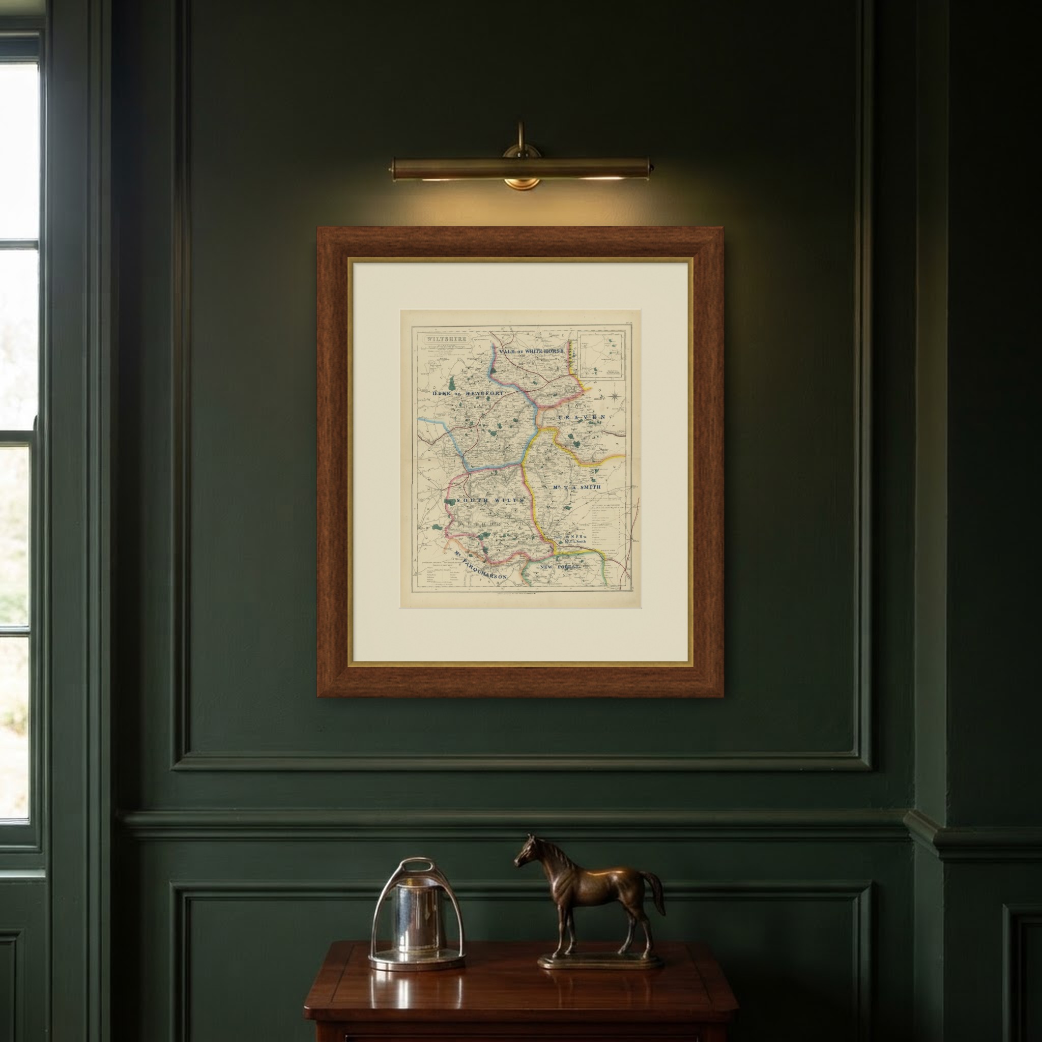
Hand colored to show seven hunt countries, this antique fox hunting map of Wiltshire was engraved by J. and C. Walker for Hobson's Fox-Hunting Atlas, circa 1870. The Vale of White Horse, in blue, crosses the north; Old Berkshire is lettered at the north-east corner where it runs over from Berkshire; the Duke of Beaufort's country, in pink, covers the west around Malmesbury and Chippenham; Craven, in yellow, the center-east toward Marlborough; Mr T. A. Smith's country, in blue, the east of the county; South Wilts, in pink, the whole southern half around Salisbury; and the New Forest, in green, the far south-east corner. An inset at upper right shows the detached parts of Wiltshire locally situated within Berkshire.
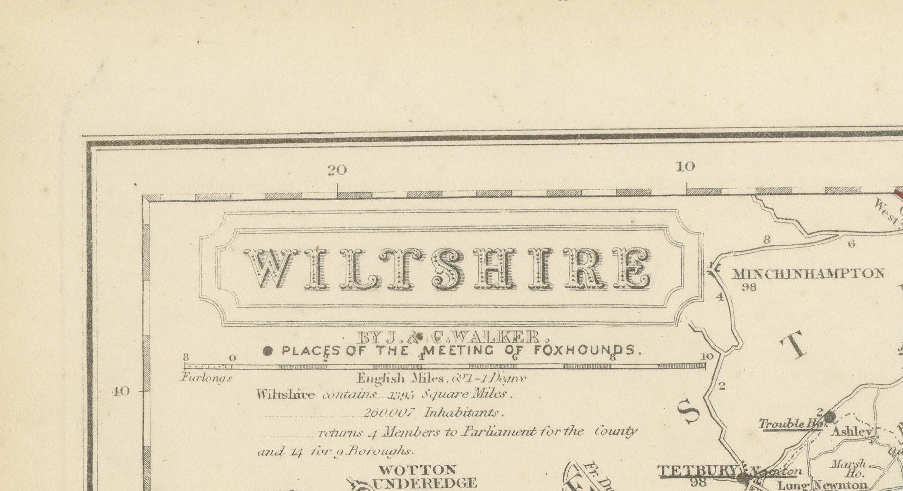
Within Mr T. A. Smith's country a printed note records ground lent by the New Forest Hunt to Mr T. A. Smith, a specific survival of the informal boundary arrangements between neighboring packs, and evidence that the compilers took care to record the practical realities behind the printed boundaries. The chalk downland of Salisbury Plain occupies the center of the sheet, left without hachure to indicate its open, largely unenclosed character, distinct from the enclosed farmland of the Avon and Wylye valleys on either side. A reference table for the divisions sits at lower right, and the cartouche, with the county name and the Walker imprint, occupies the upper left corner.
Hobson's Fox-Hunting Atlas, compiled by William Colling Hobson and published by Longman and Company of Paternoster Row, London, first appeared around 1850 and was reissued into the 1870s; this sheet is from the edition of circa 1870. The plates were steel engraved by J. and C. Walker, and the boundaries of the hunt countries were added in original hand color, in outline, with the places of meeting of the foxhounds marked alongside roads, railways, canals and parks.
For hunting families, county collectors and anyone with a connection to the place, this antique fox hunting map of Wiltshire is an original atlas sheet, well suited to framing.
The sheet is in good condition for its age, with age toning, stronger towards the edges, a central fold and a few small spots in the margins. Please review the images for further condition details.
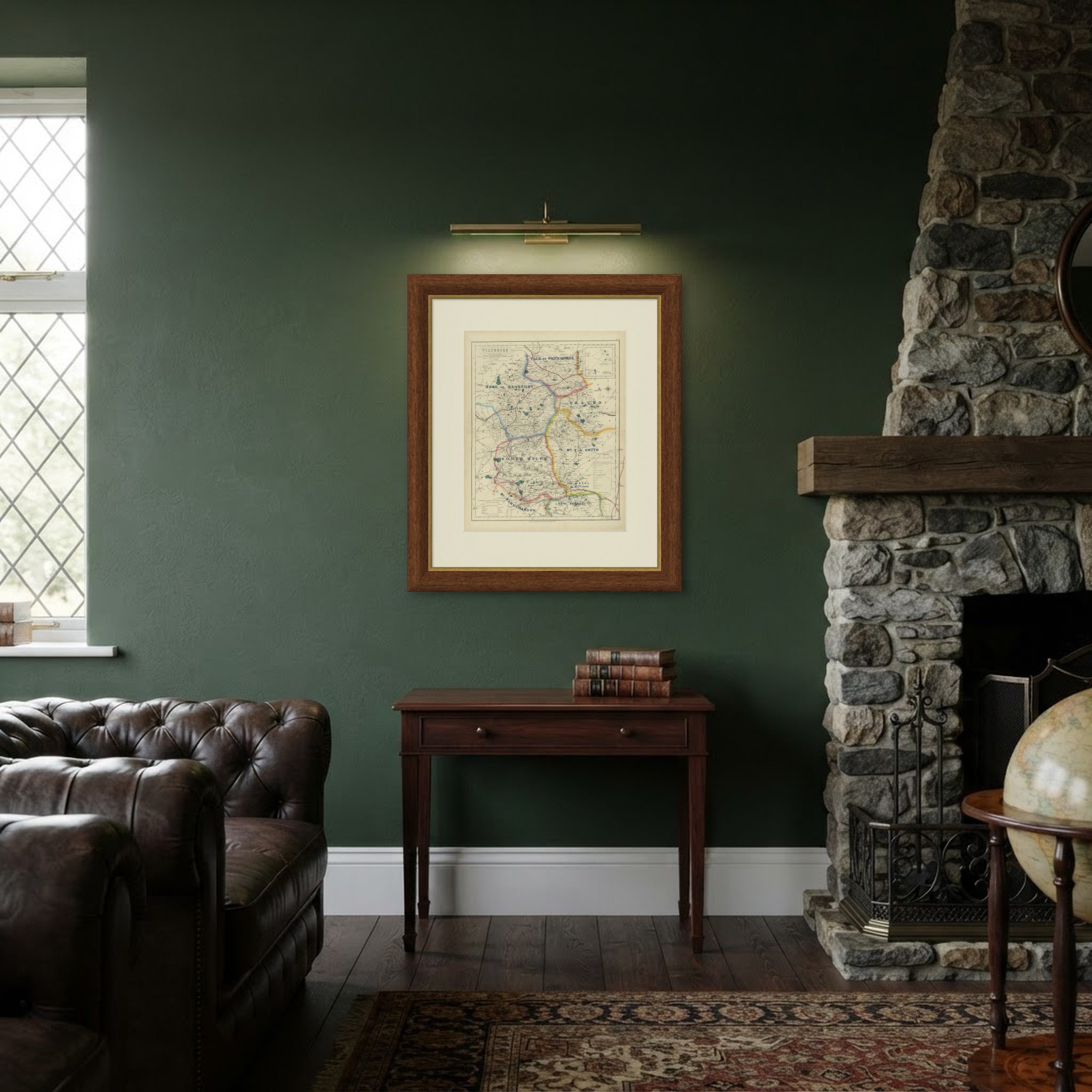
This is an original antique map, not a modern reproduction. This item is sold unframed. Any framed or interior images are shown for presentation and inspiration only, unless the listing explicitly states that the item is sold framed.