About this sheet
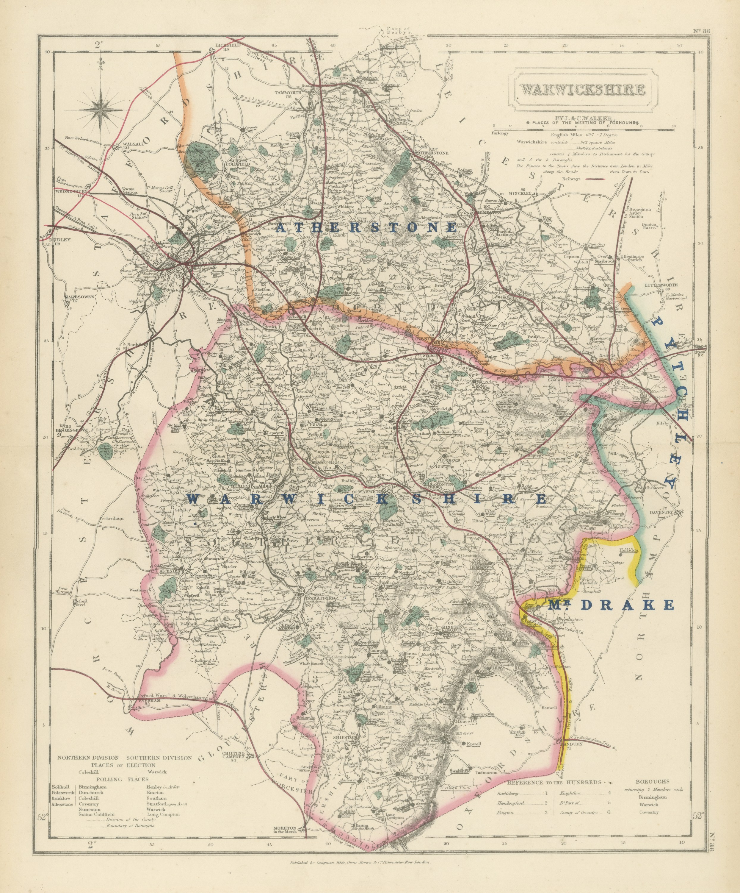
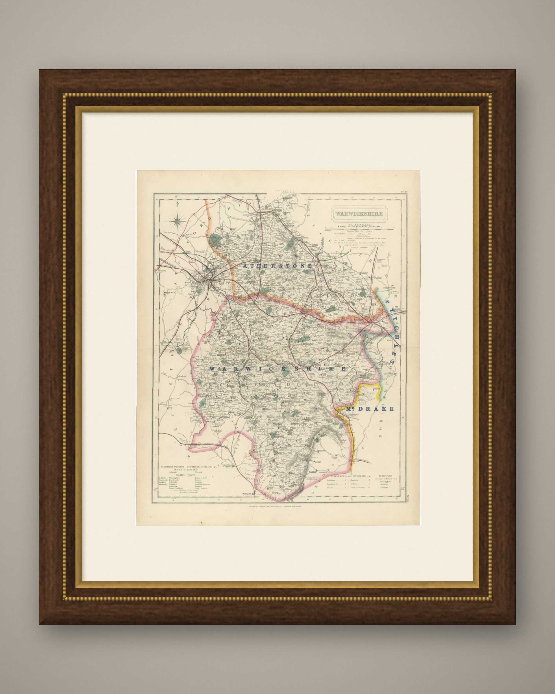
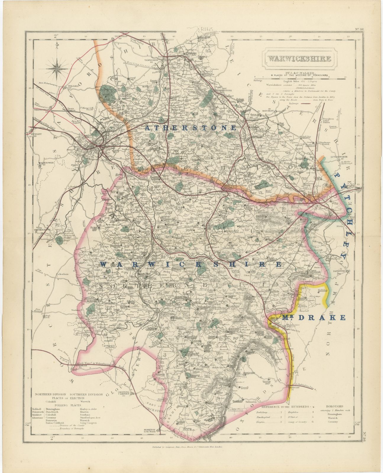
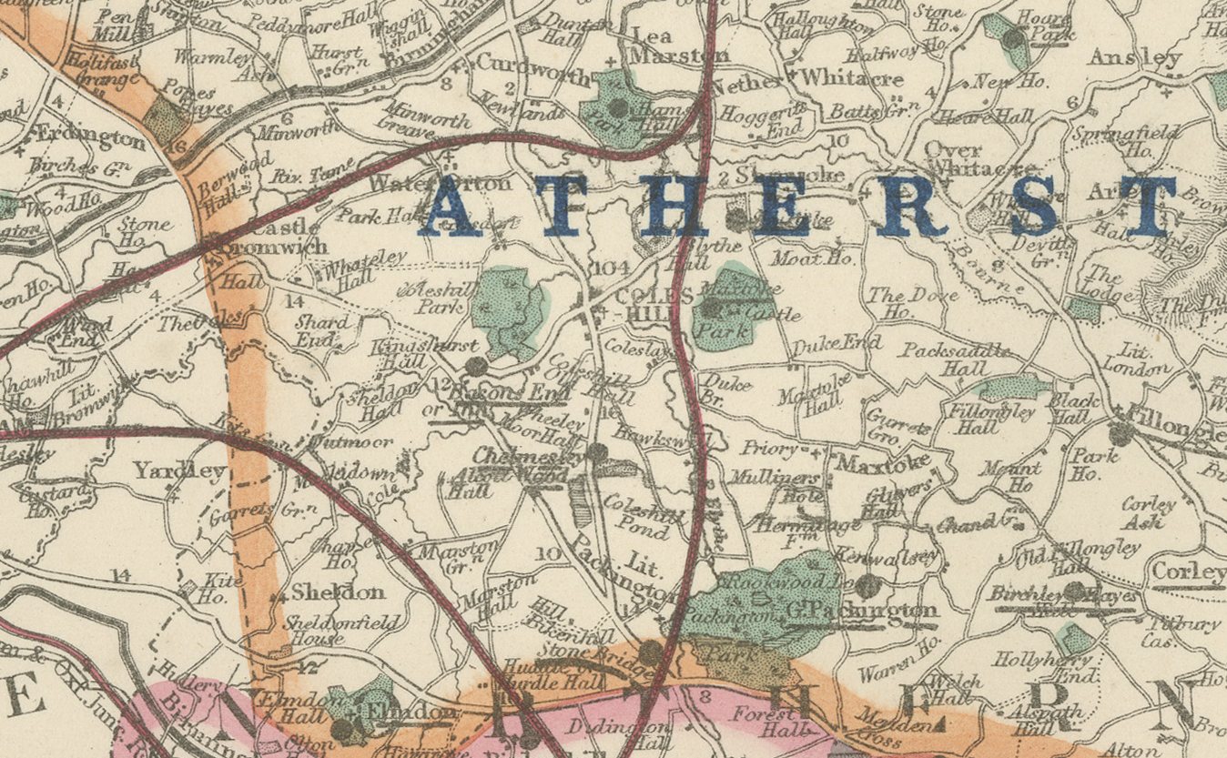
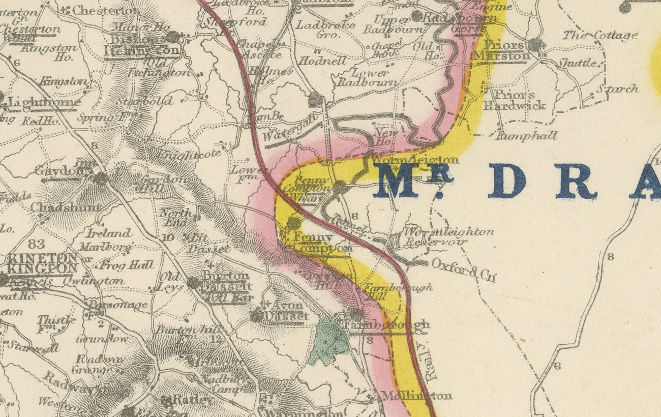
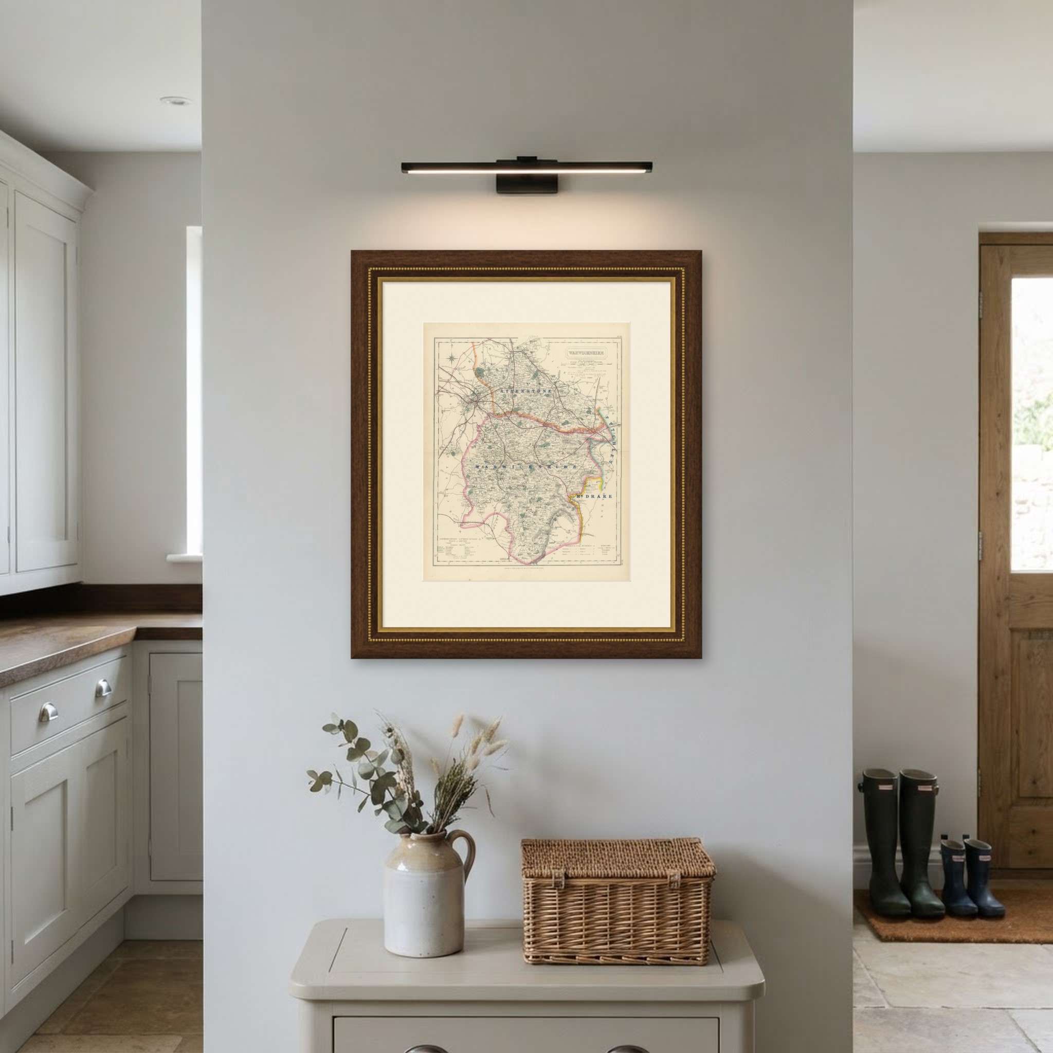
This antique fox hunting map of Warwickshire, from Hobson's Fox-Hunting Atlas, was engraved by J. and C. Walker circa 1870 and shows four hunt countries in hand color. Atherstone, in pink, crosses the north toward Nuneaton and the Leicestershire border; Warwickshire itself is lettered in large blue capitals across the center around the town and Stratford-upon-Avon; Pytchley, in green, holds the south-east corner toward Northamptonshire; and Mr Drake's country, in yellow, lies in the south-west toward the Gloucestershire and Oxfordshire borders. Birmingham and the industrial north of the county appear at the top of the sheet with a dense concentration of railway lines converging on the town.
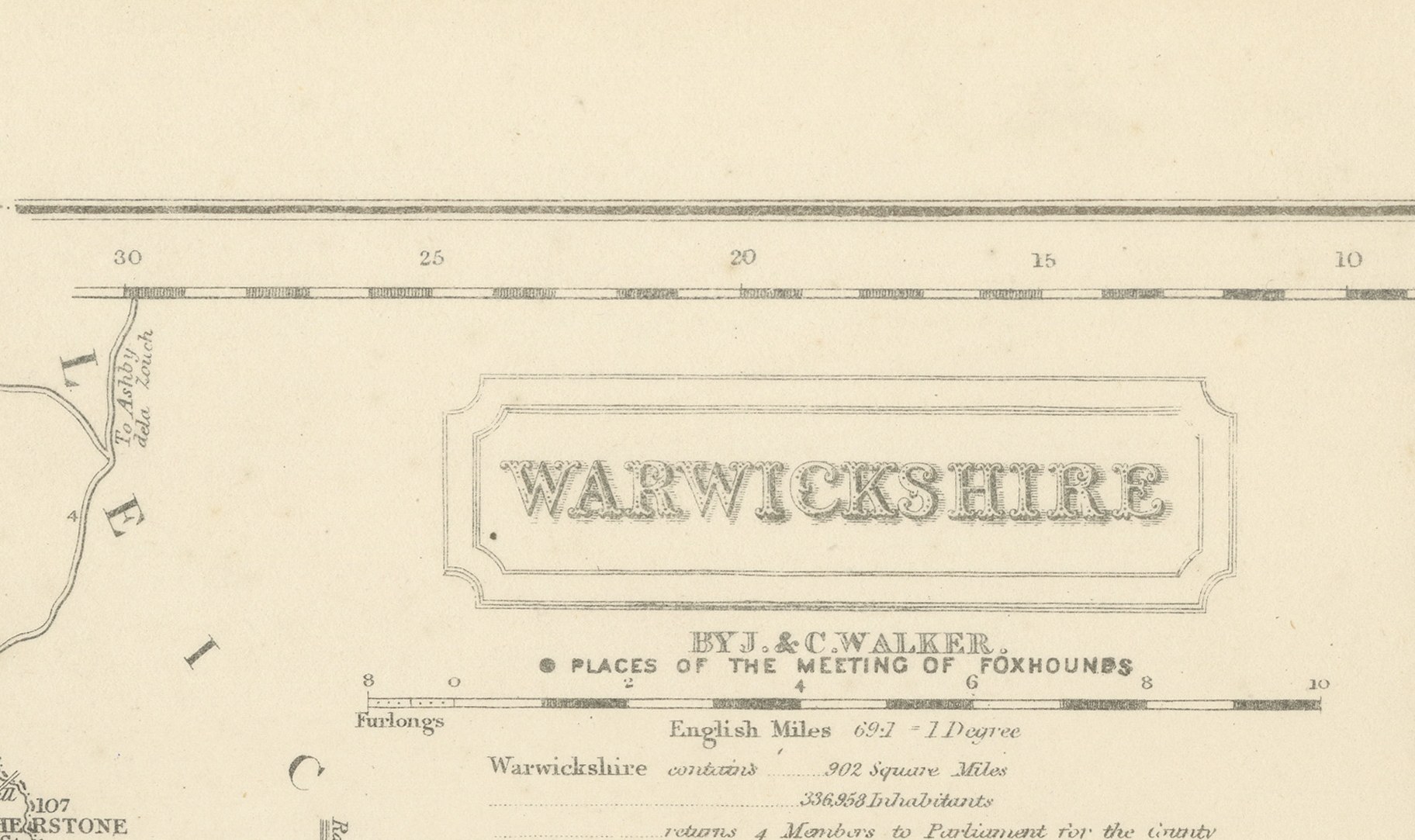
The Avon winds through the center past Warwick and Stratford, and the rural south, still largely agricultural at this date, contrasts sharply with the industrial north. A reference table for the hundreds sits at lower left, and the cartouche, with the county name, the Walker imprint and the statistical note, occupies the upper right corner.
Engraved on steel by J. and C. Walker of London, the plate was made for Hobson's Fox-Hunting Atlas, compiled by William Colling Hobson and published by Longman and Company of Paternoster Row. The work was first issued around 1850 and reissued into the 1870s, and this sheet is from the edition of circa 1870, with the hunt boundaries in original outline hand color and the places of meeting of the foxhounds marked, together with roads, railways, canals and parks. The county lies on the eastern edge of the Shires proper, its own hunt bordering the Pytchley to the south-east and the Atherstone, whose country ran across several counties, to the north.
As an original atlas sheet, suitable for framing, this antique fox hunting map of Warwickshire makes a fine piece for a hunting family, a collector of the county or anyone with ties to the place.
The sheet is in good condition for its age, with age toning, stronger towards the edges, a central fold and a few small spots in the margins. Please review the images for further condition details.
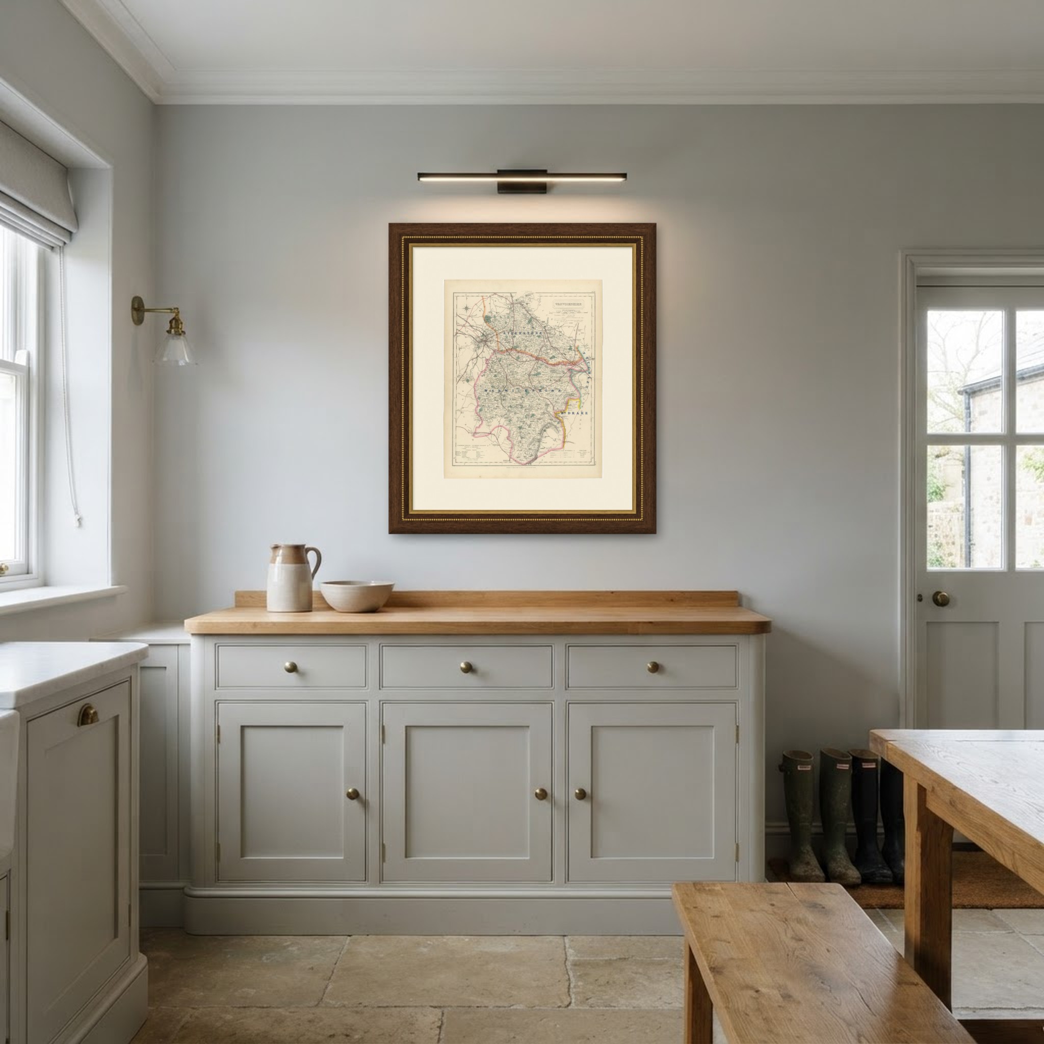
This is an original antique map, not a modern reproduction. This item is sold unframed. Any framed or interior images are shown for presentation and inspiration only, unless the listing explicitly states that the item is sold framed.