About this sheet
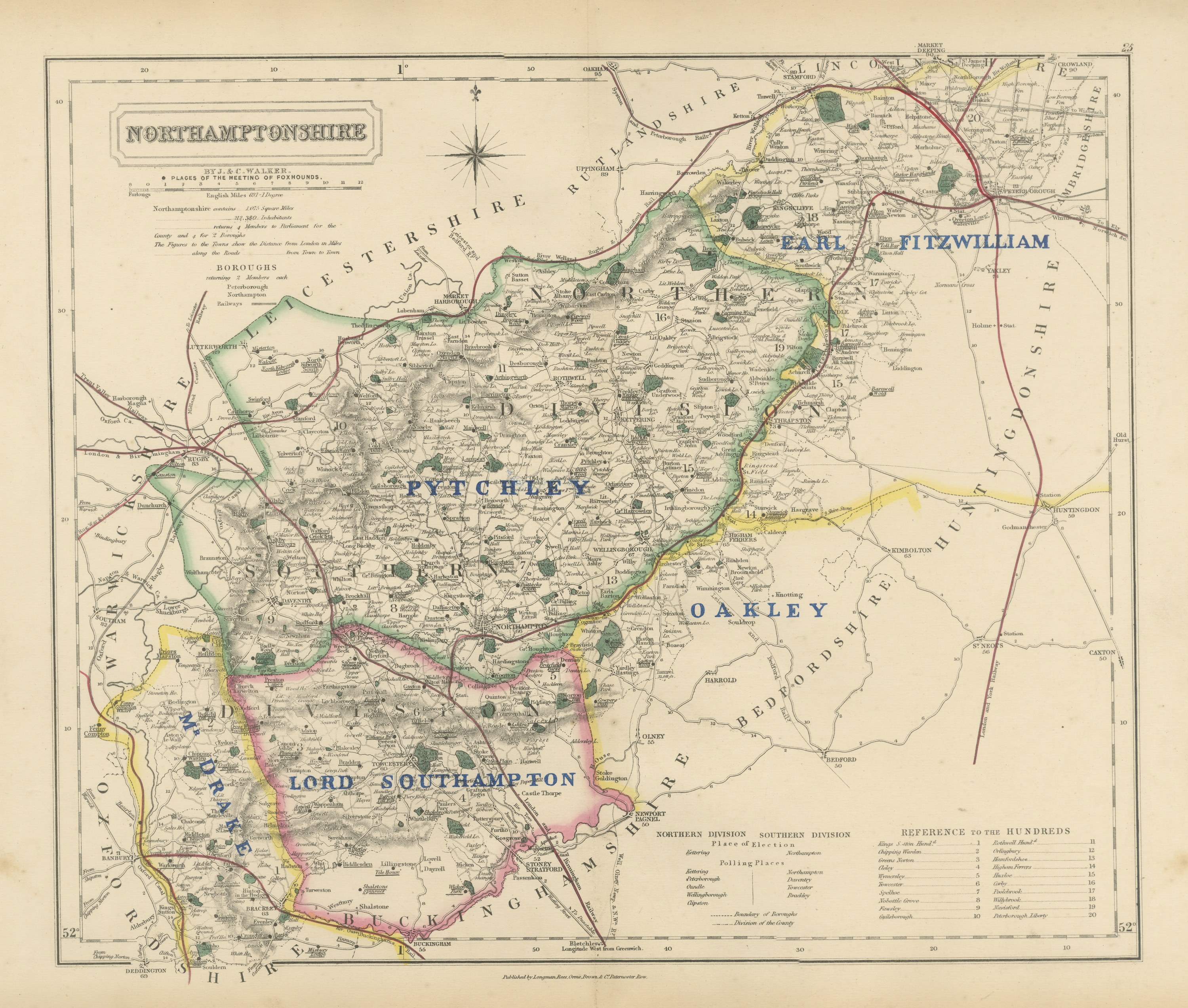
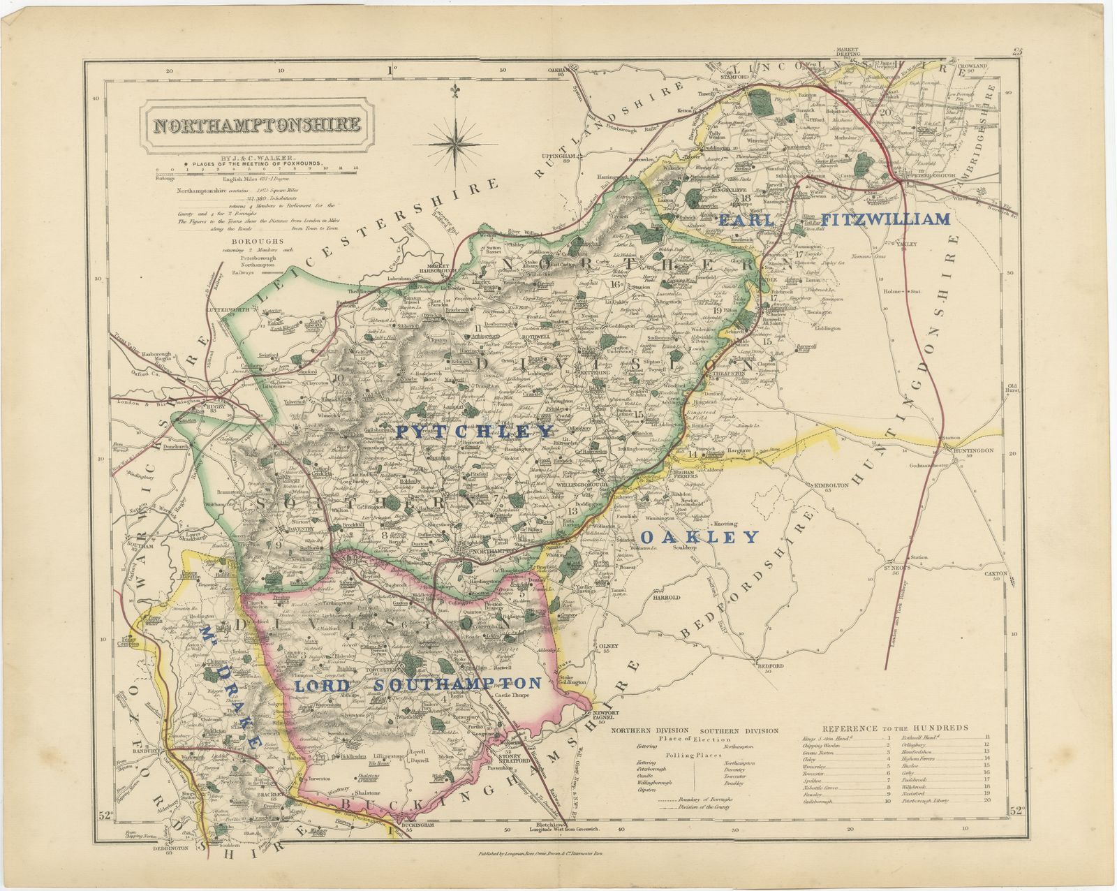
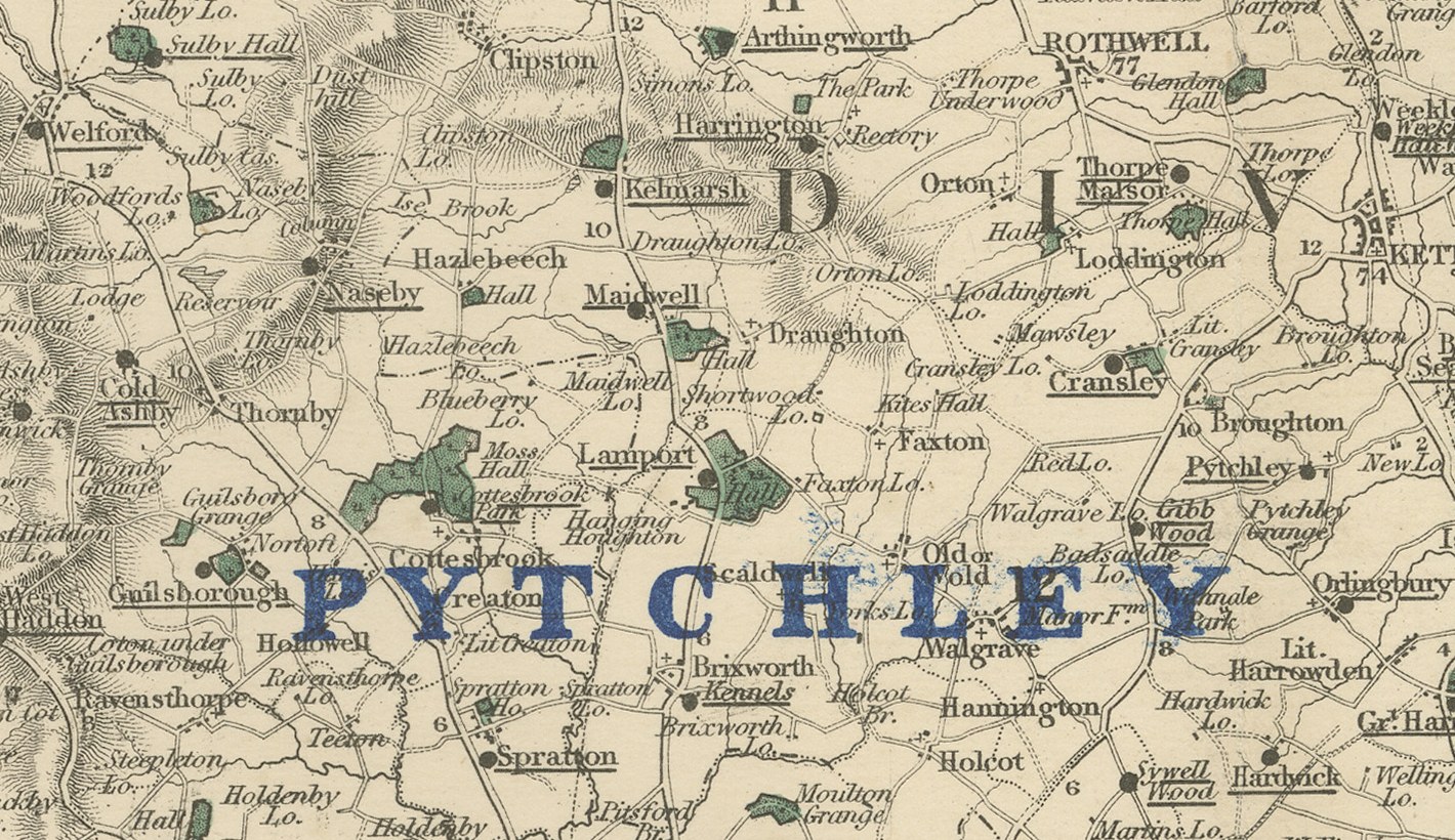
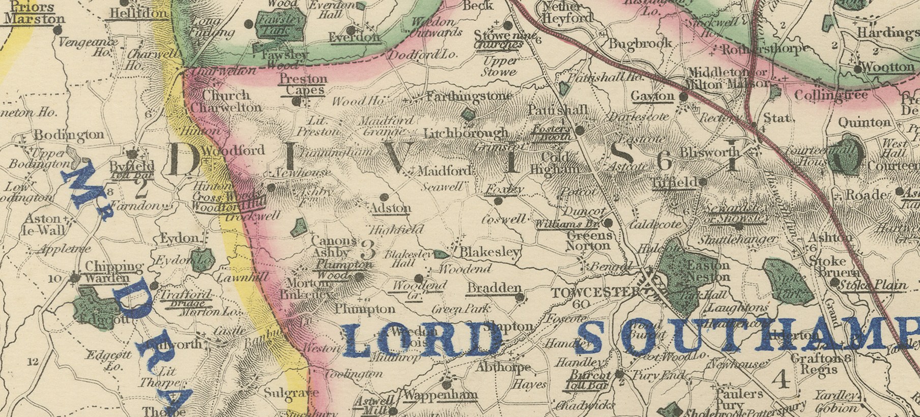
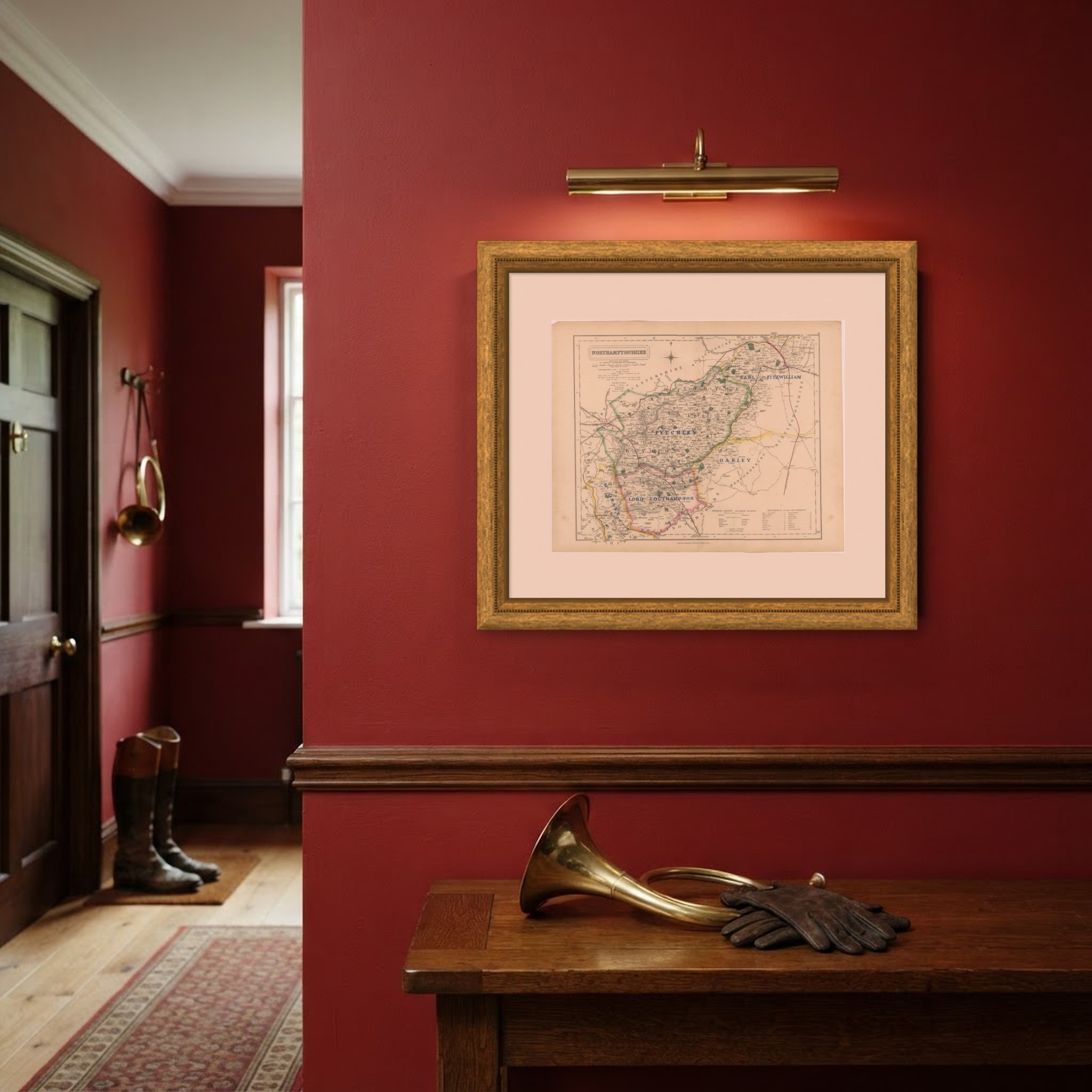
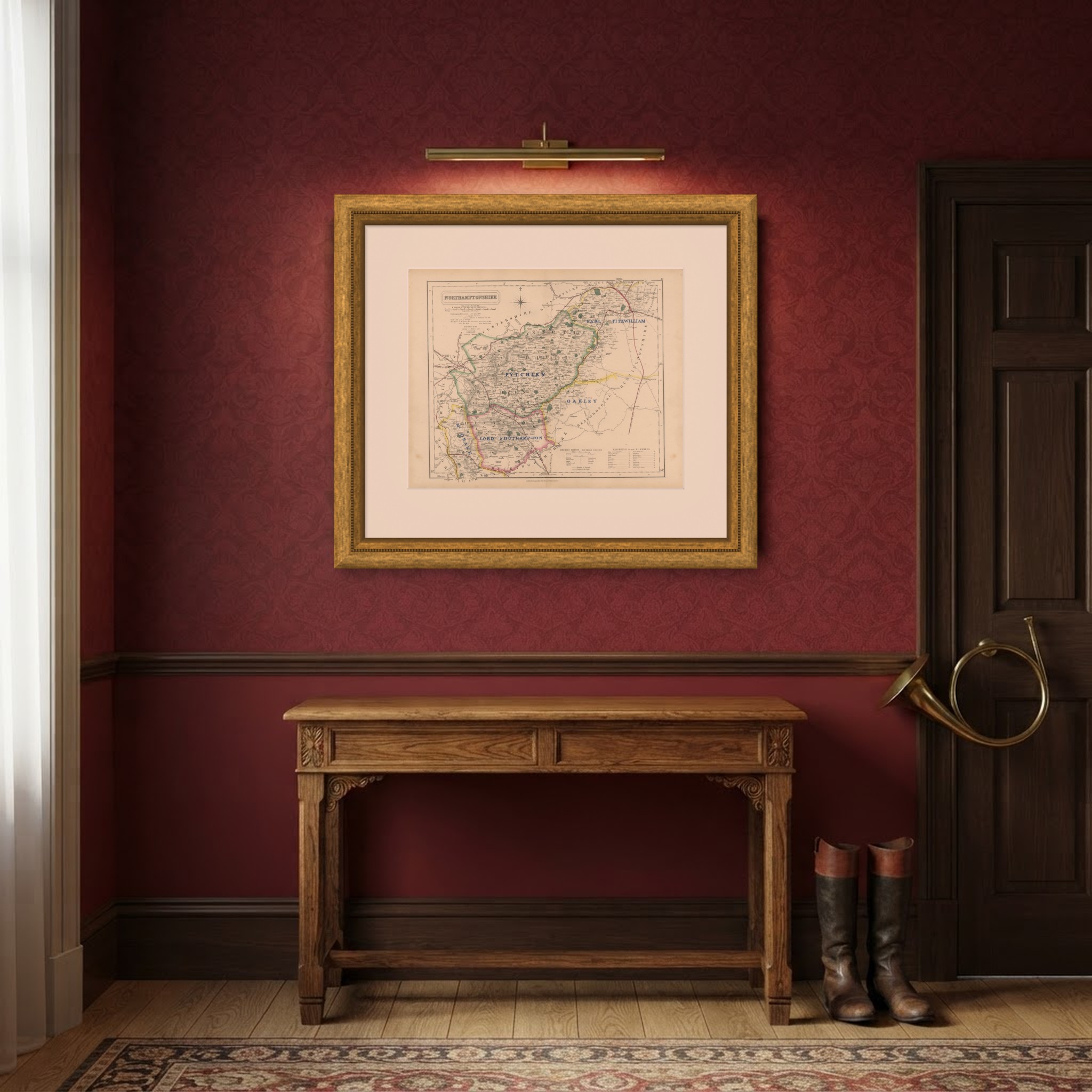
This antique fox hunting map of Northamptonshire, engraved by J. and C. Walker for Hobson's Fox-Hunting Atlas circa 1870, shows five hunt countries colored by hand. Pytchley, the largest, runs in yellow the length of the county from the Leicestershire border down through Northampton; Oakley, in green, follows the western edge toward Towcester; Earl Fitzwilliam's country, in blue, holds the north-east corner toward Peterborough; Lord Southampton's country, in pink, lies along the northern border; and Mr Drake's country, in yellow, occupies the southern tip toward Buckinghamshire.
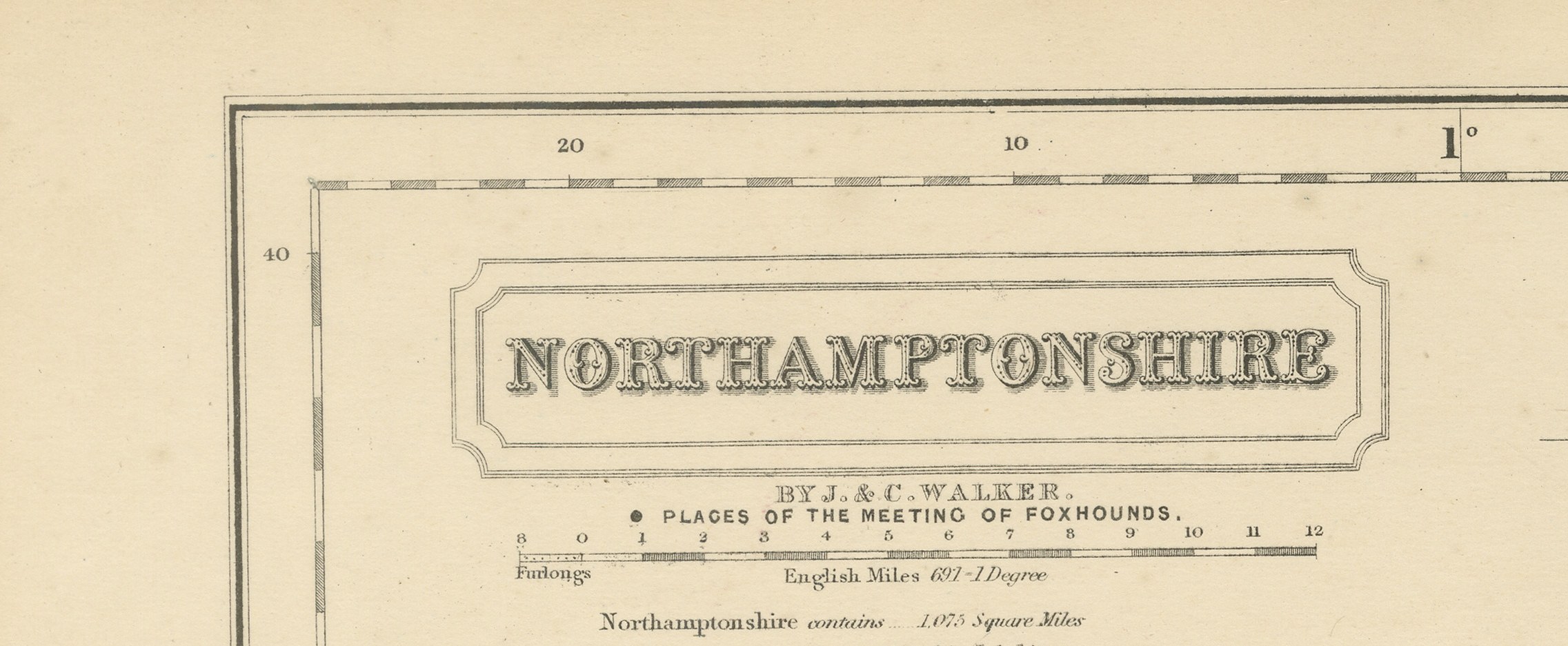
The dense network of turnpike roads and the main line of the London and North Western Railway through Northampton and Rugby are shown in red, and the ironstone ridges and river valleys, with the Nene running east through the center, are rendered in careful hachure and stipple. A reference table for the hundreds sits at lower left, and the cartouche, with the county name and the Walker imprint, occupies the upper right beside the compass star.
The atlas was compiled by William Colling Hobson, with maps engraved by John and Charles Walker, the London firm of J. and C. Walker, and published by Longman and Company of Paternoster Row. First issued around 1850 and reissued into the 1870s, Hobson's Fox-Hunting Atlas maps every county of England and the three Ridings of Yorkshire. This sheet belongs to the edition of circa 1870 and is a steel engraving, its hunt boundaries in original hand color, applied in outline. The sheet marks Northamptonshire's place at the eastern edge of the Shires, a county whose grazing land, like Leicestershire's to the north, was prized among Victorian hunting men.
An original atlas sheet, suitable for framing, this antique fox hunting map of Northamptonshire will appeal to hunting families, to collectors of the county and to anyone with a connection to the place.
The sheet is in good condition for its age, with age toning, stronger towards the edges, a central fold, a small crease at the upper left corner and a few faint spots. Please review the images for further condition details.
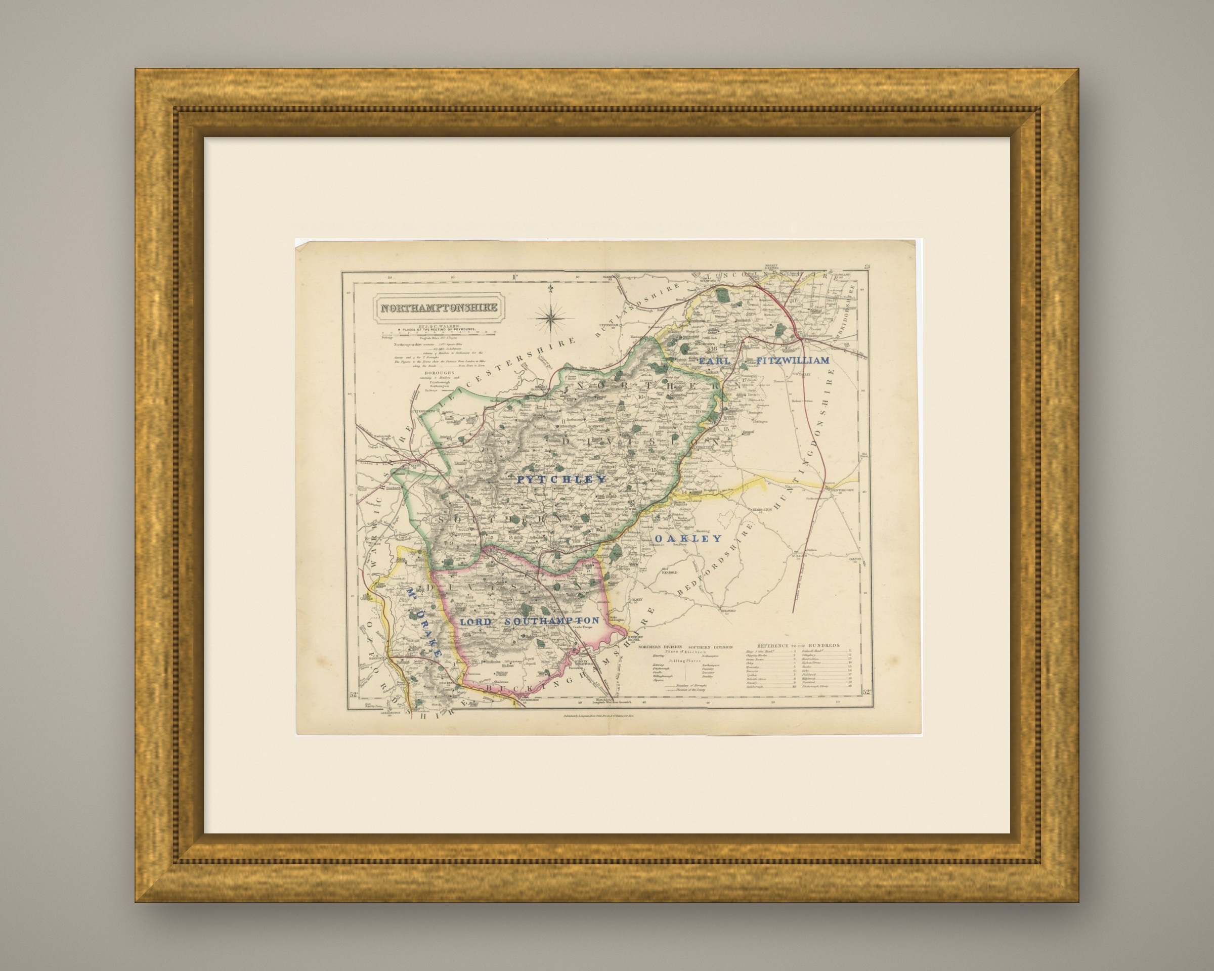
This is an original antique map, not a modern reproduction. This item is sold unframed. Any framed or interior images are shown for presentation and inspiration only, unless the listing explicitly states that the item is sold framed.