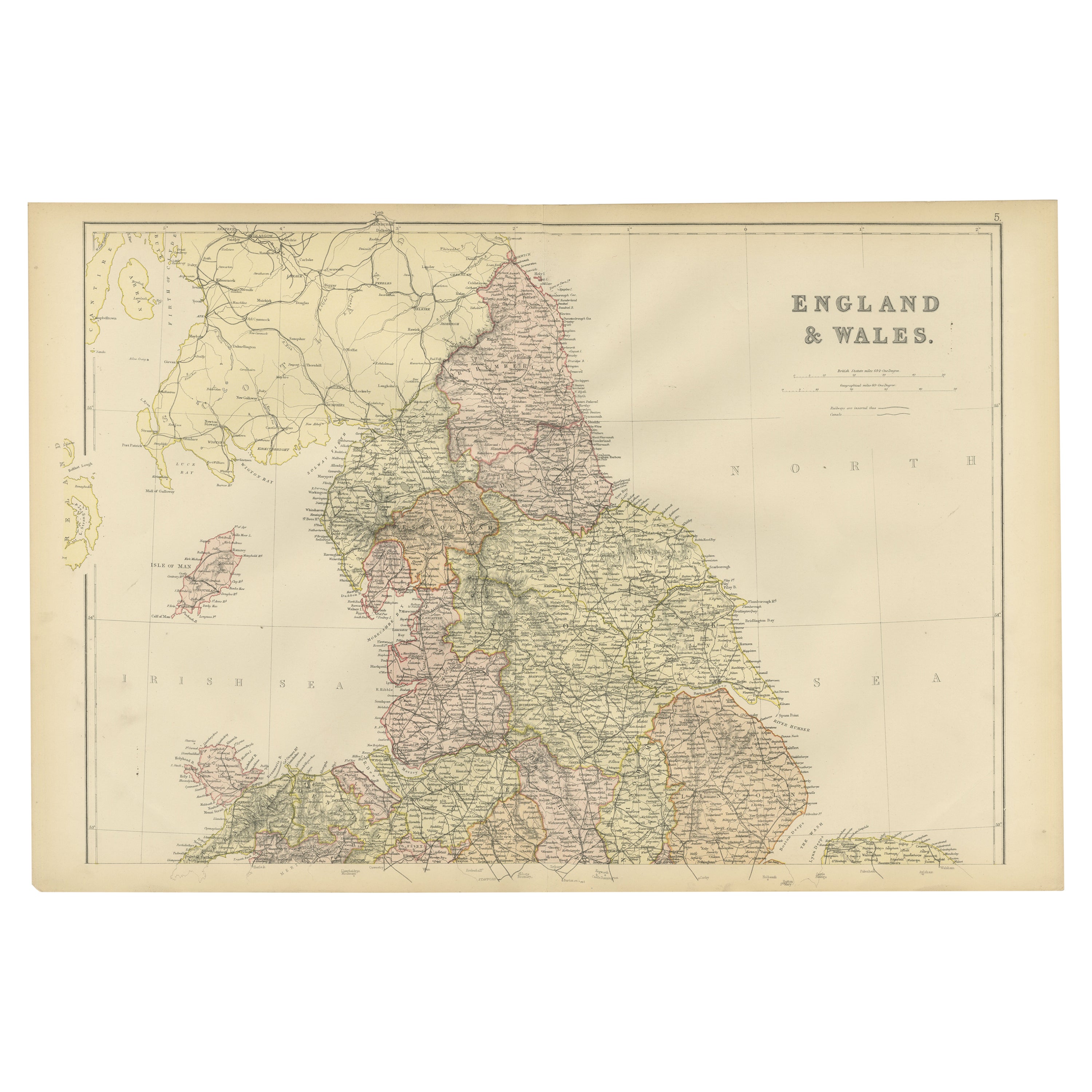

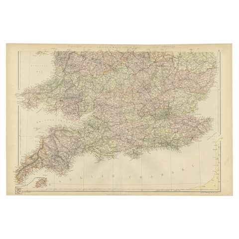
Colorful Detailed Antique Map of England and Wales, 1882
€ 170
One of a kind: this is the sheet in the photographs. Ships from Langweer, the Netherlands.
Date
1882
Sheet size
38 × 57 cm (15.0 × 22.4 in)
Condition
Good
Reference
BG-13601-2-15
Condition
Good condition, folding line in the middle. The outer borders are slightly yellowish discolored due to age, but not the image. Very slight soil of a fingerprint from handling on lower left. This map is ideal for framing. Study the image carefully.
About this sheet
Explore the Historic Splendor of 'England and Wales' with this Antique Map! Part of a distinguished collection, this map presents a captivating view of the enchanting landscapes, cities, and historical richness of England and Wales.
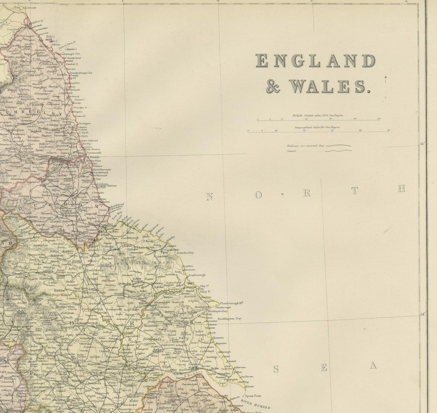
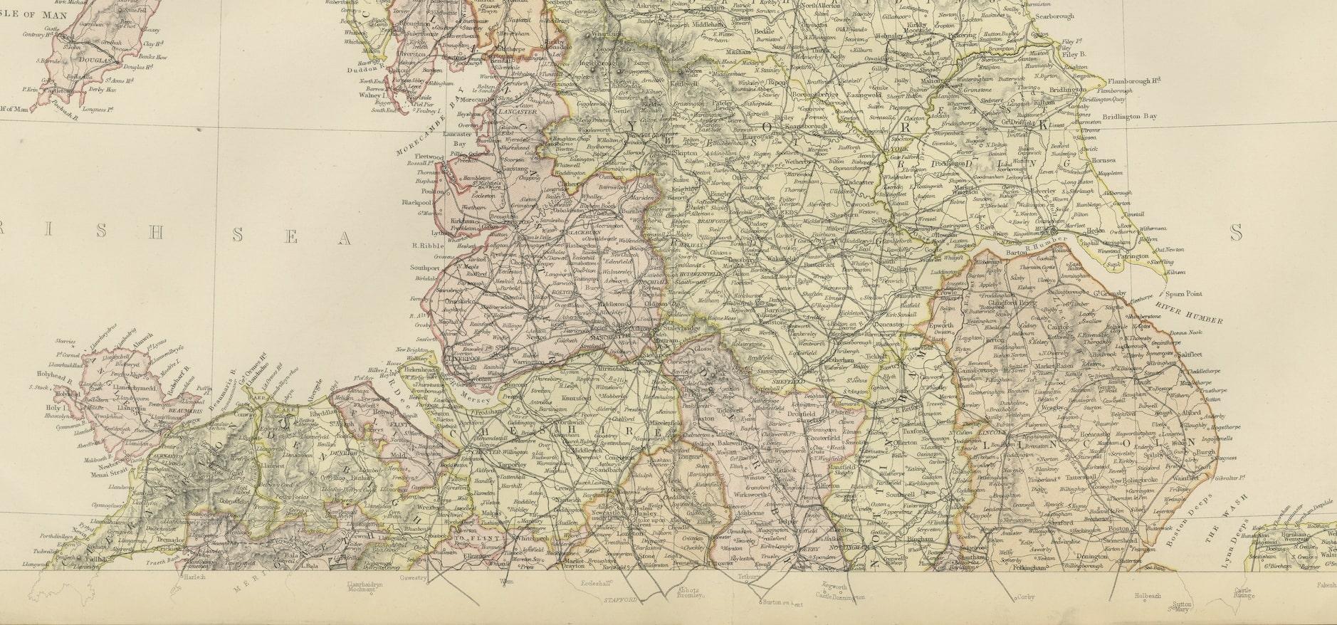
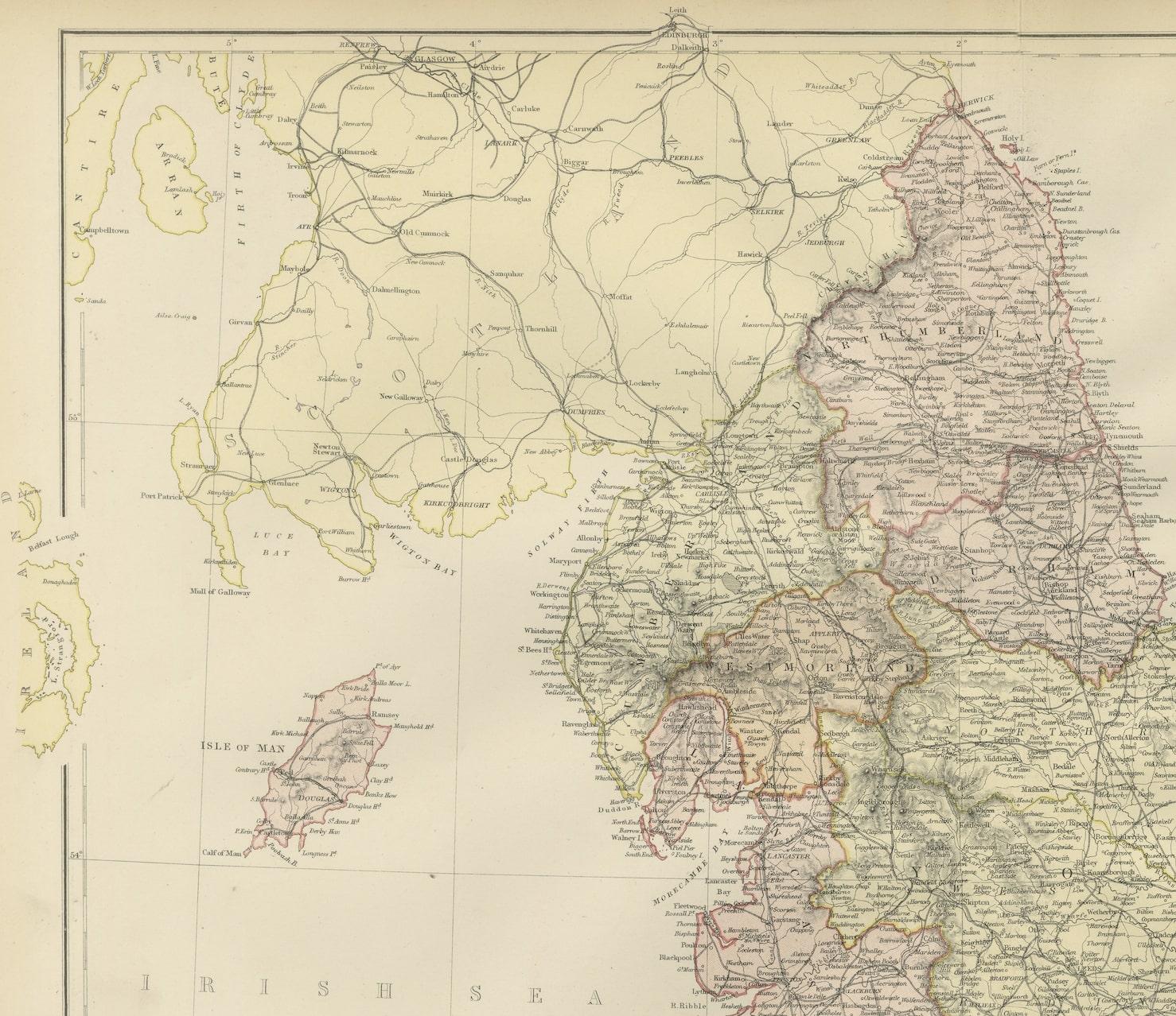
Immerse yourself in the intricate details that adorn this vintage masterpiece, depicting the charming contours of England and Wales. With meticulous precision, this map showcases the diverse topography, cities, and cultural landmarks of these iconic regions, offering a glimpse into their historical evolution.
Perfect for history enthusiasts, cartography aficionados, or those with a love for the English and Welsh heritage, this map serves as a portal to the past. Its depiction of towns, rivers, train tracks and landmarks brings alive the essence of these regions, capturing the essence of their unique charm and historical significance.
Whether adorning the walls of a collector's cabinet, gracing the ambiance of a home, or serving as an educational tool for students and enthusiasts, this map holds an enduring allure. Step back in time and traverse the landscapes of England and Wales through the captivating lens of this antique map!