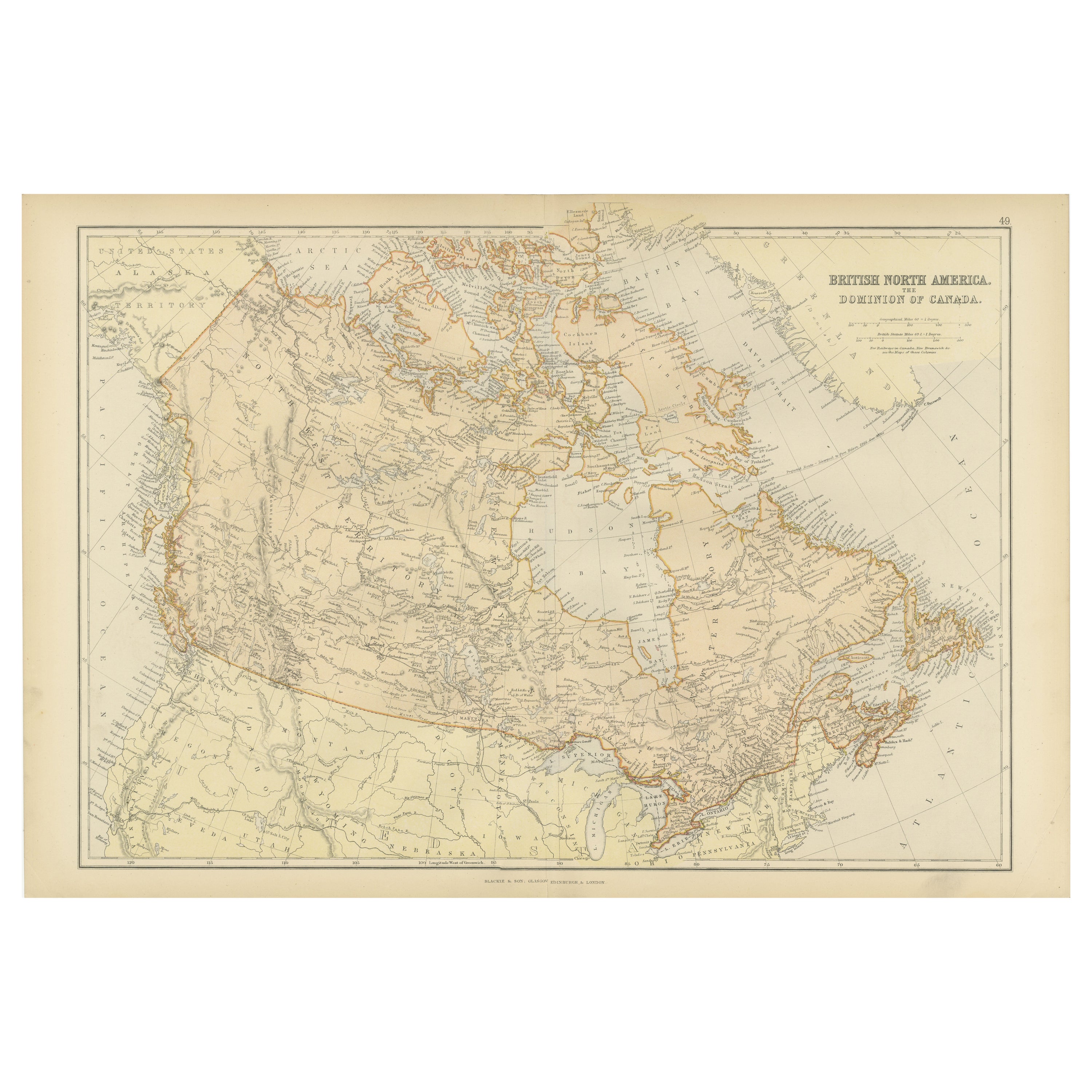
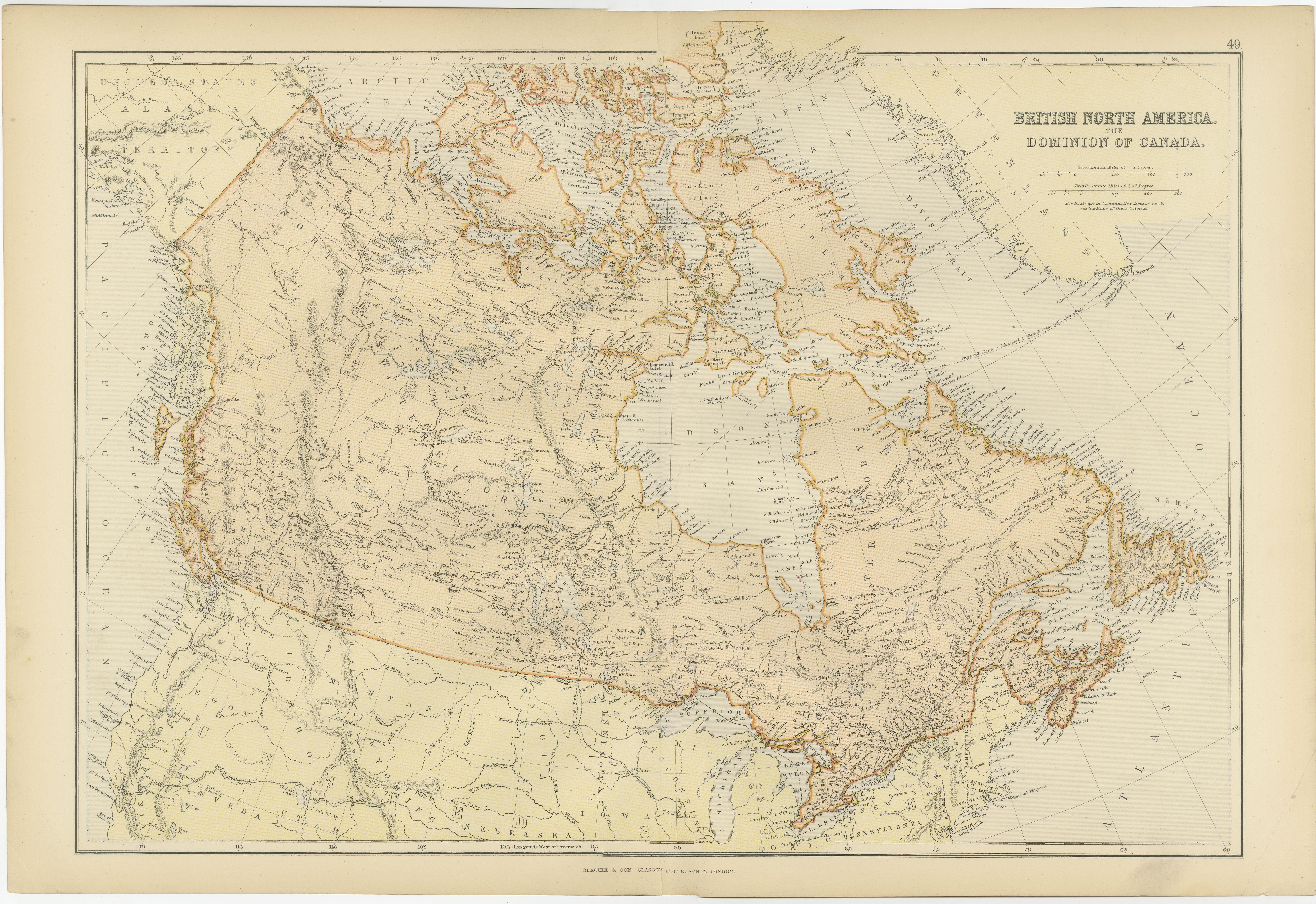
Antique Map of British North America, The Dominion of of Canada, 1882
€ 290
One of a kind: this is the sheet in the photographs. Ships from Langweer, the Netherlands.
Date
1882
Sheet size
38 × 57 cm (15.0 × 22.4 in)
Condition
Good
Reference
BG-13601-2-58
Condition
Good condition, folding line in the middle. The outer borders are slightly discolored due to age, but not the image. Study the image carefully.
About this sheet
This map is titled "British North America, Dominion of Canada," from the 1882 Blackie Atlas. It features the geographical area that comprises modern-day Canada, with notable features highlighted according to the cartography standards of the late 19th century.
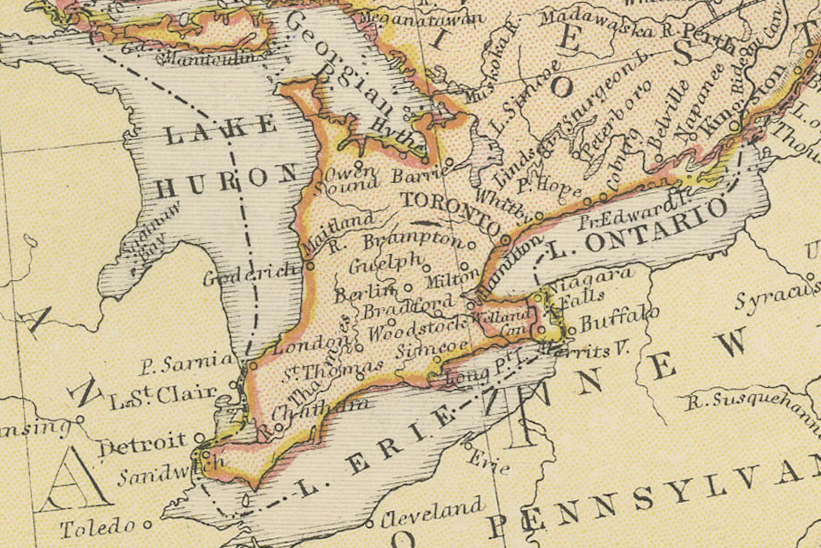
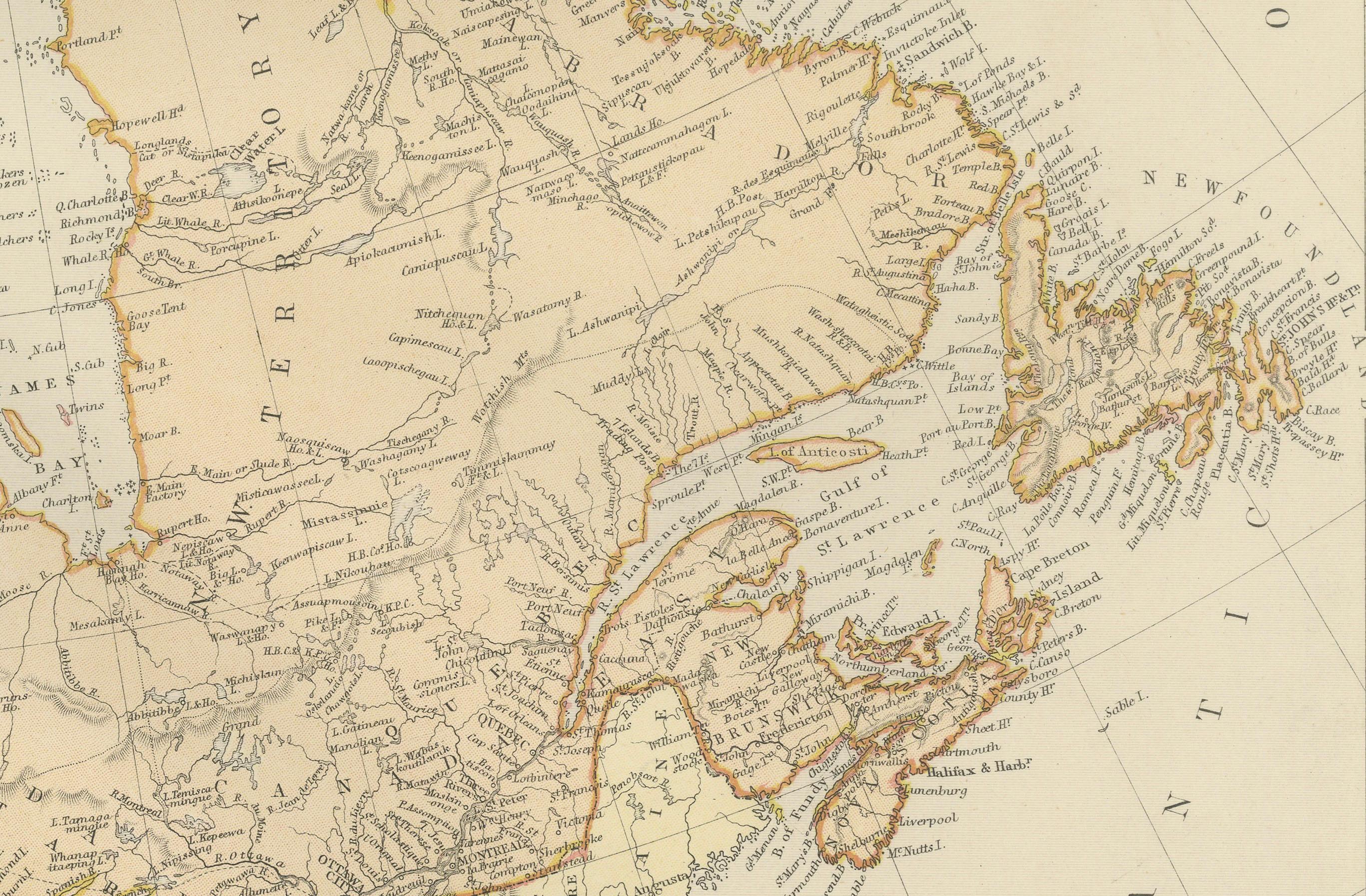
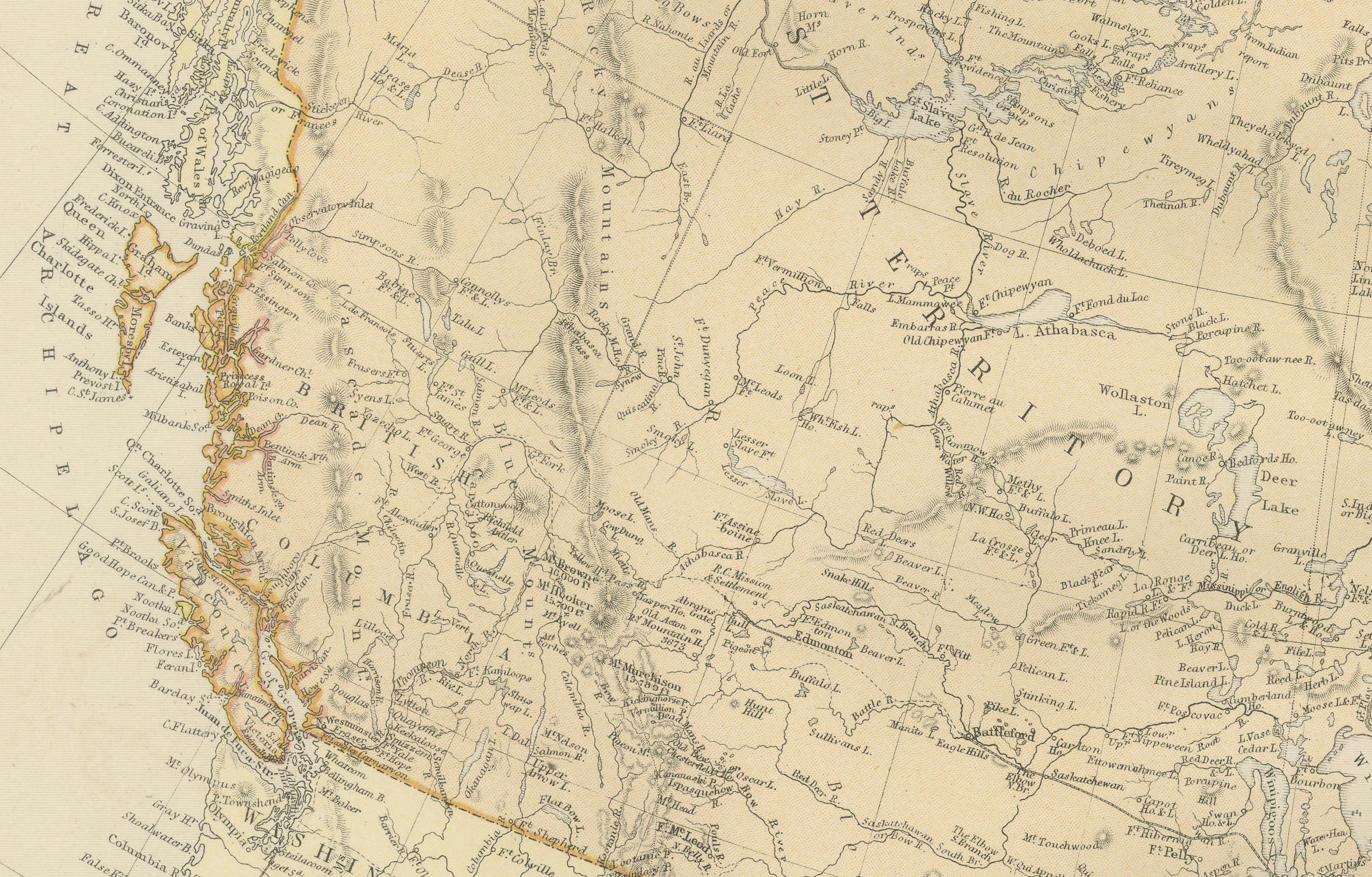
The map shows a detailed view of the country's extensive river systems, mountain ranges (such as the Rocky Mountains), and various territories. The coloring distinguishes between different territories or provinces, such as British Columbia, Manitoba, Ontario, Quebec, New Brunswick, and others that existed at the time. The Arctic regions in the north are also depicted, though with less detail, which is common for maps from this period due to the less extensive exploration of these areas at the time.
The map also includes parts of the northern United States, highlighting the international border between the two countries. The maritime provinces and coastal features are prominently displayed, suggesting the importance of sea routes and maritime commerce. The network of railroads, which was crucial for trade and the expansion of European settlement, may also be indicated on the map, reflecting the infrastructural development during that era.
The map's longitude and latitude markers bordering the edges indicate that it was intended for serious use, possibly for navigation or educational purposes. The detail and scale of the map suggest it was a comprehensive representation of Canada's geography at the time it was produced.