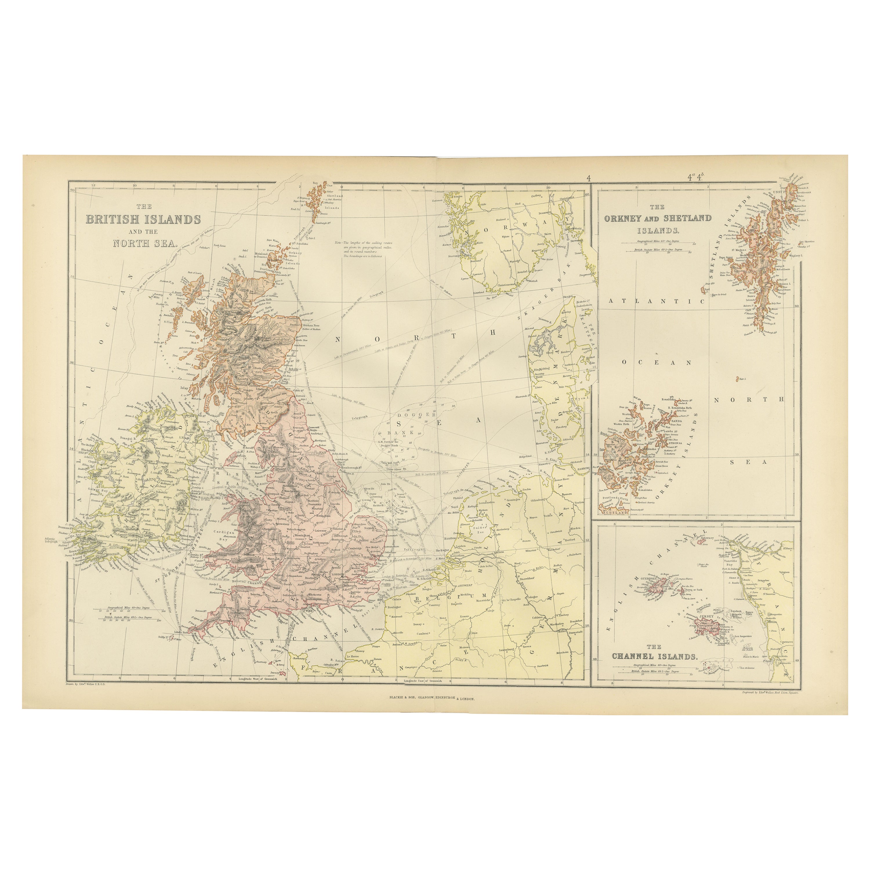

Colorful Detailed Antique Map of The British Islands and `The North Sea, 1882
€ 190
One of a kind: this is the sheet in the photographs. Ships from Langweer, the Netherlands.
Date
1882
Sheet size
38 × 57 cm (15.0 × 22.4 in)
Condition
Good
Reference
BG-13601-2-14
Condition
Good condition, folding line in the middle. The outer borders are slightly yellowish discolored due to age, but not the image. This map is ideal for framing.
About this sheet
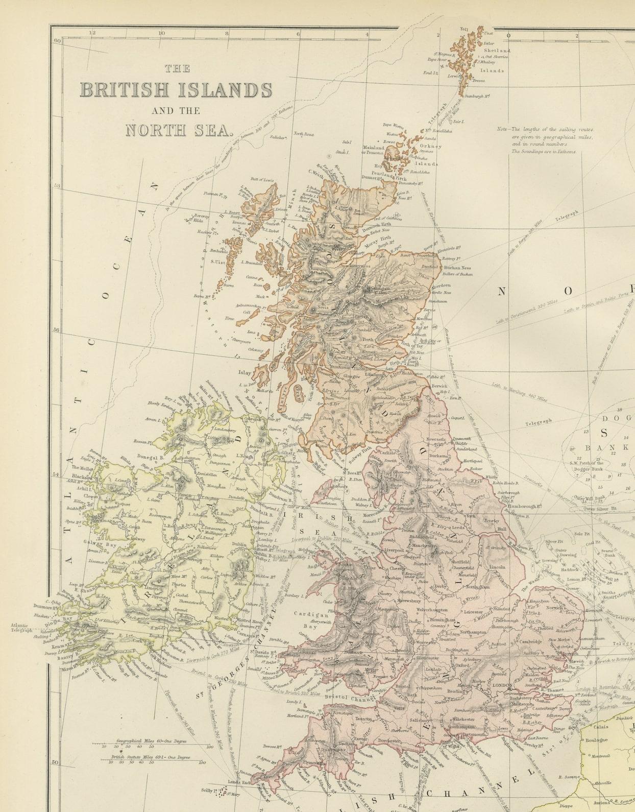
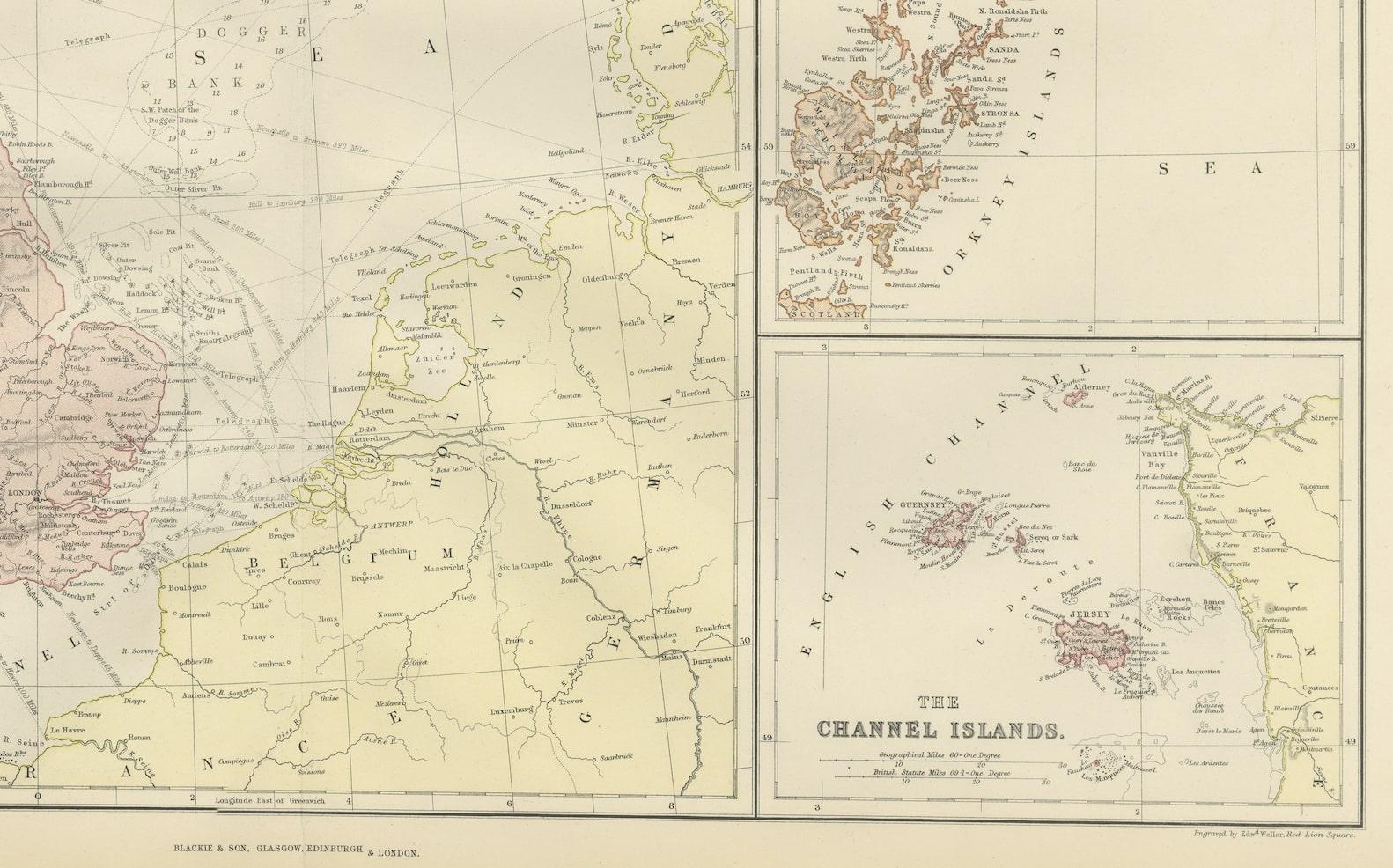
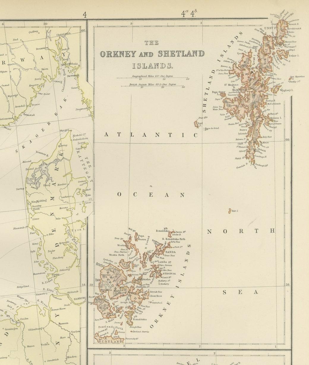
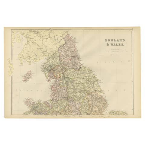
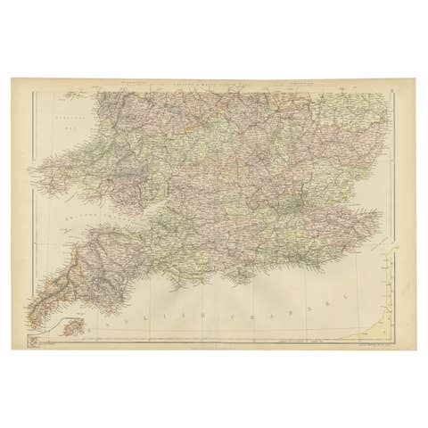
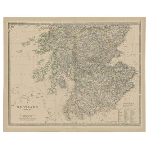
Discover 'The British Islands and The North Sea' Map with Insets of Orkney, Shetland, and Channel Islands! This captivating original antique map offers a detailed view of the British Isles and the North Sea region.
Explore this vintage masterpiece showcasing the intricacies of the British Isles, complete with inset maps highlighting the enchanting Orkney, Shetland, and Channel Islands. With exquisite detail and historical accuracy, this map presents a unique perspective on the geographical landscape of these iconic regions, including the coasts of Ireland, Holland, Friesland, Denmark, Belgium, Norway and Northern France.
Perfect for history buffs, cartography enthusiasts, and those passionate about British and maritime history, this map is a treasure trove of information and visual delight. Its depiction of the coastlines, cities, and topography brings to life the rich heritage and geographical nuances of these islands and their surrounding waters.
Whether as a collector's item, a decorative piece for your home or office, or an educational tool for understanding the historical evolution of these regions, this map holds a timeless allure. Step into the past and embark on a visual journey through the British Isles and the North Sea with this captivating antique map at your fingertips!