About this sheet
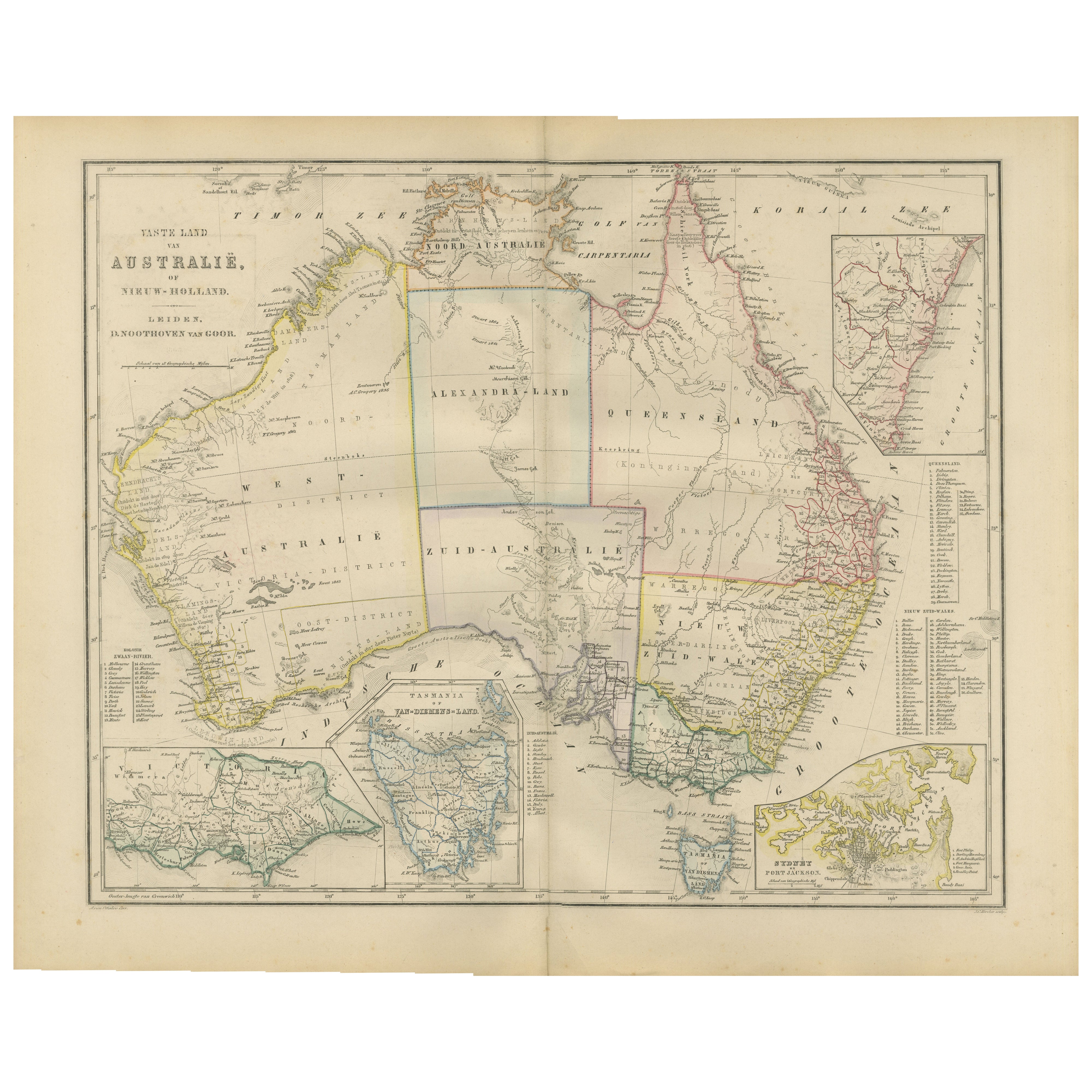
Australia or New Holland Map with Inset Regions by Noothoven van Goor, 1876
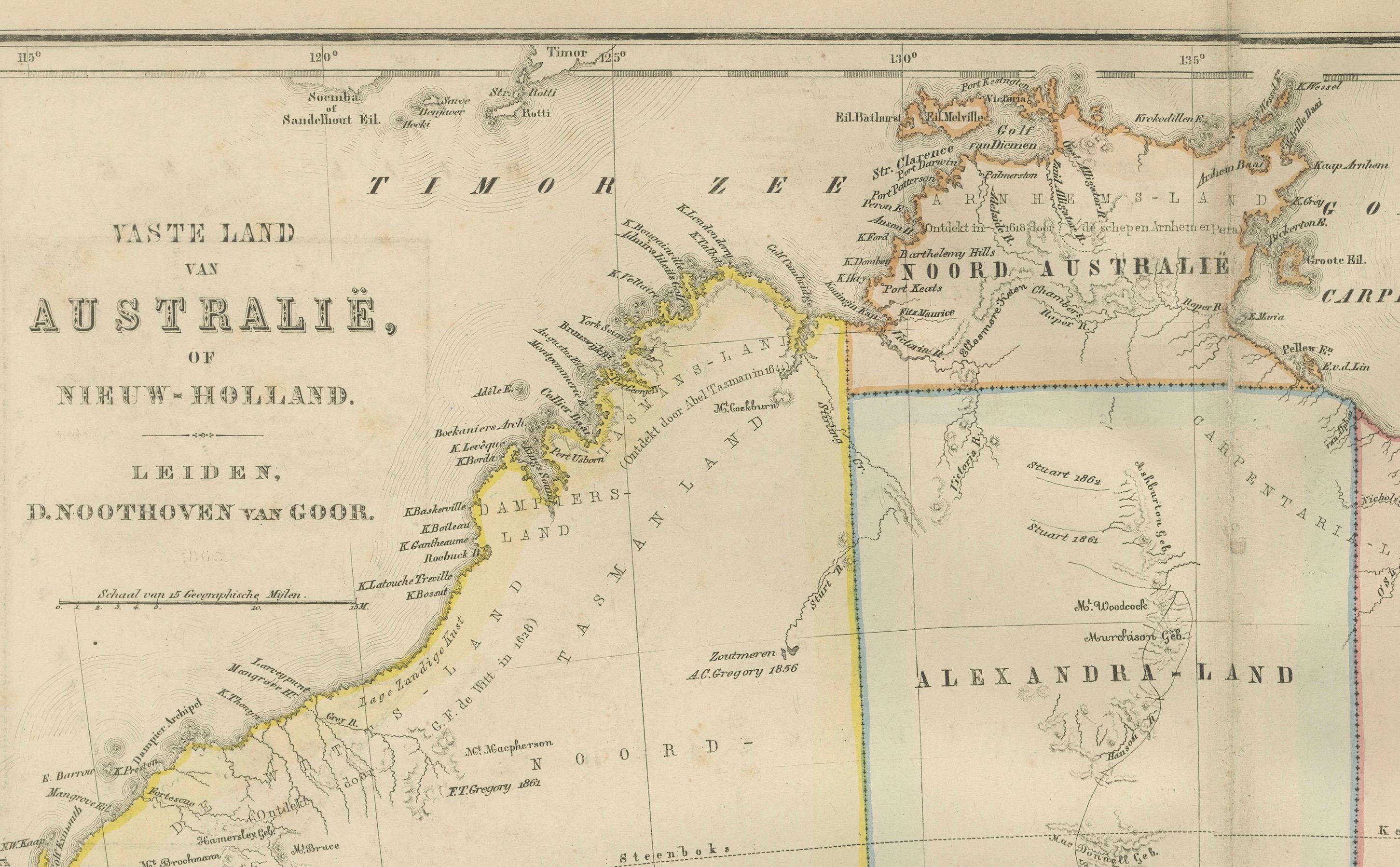
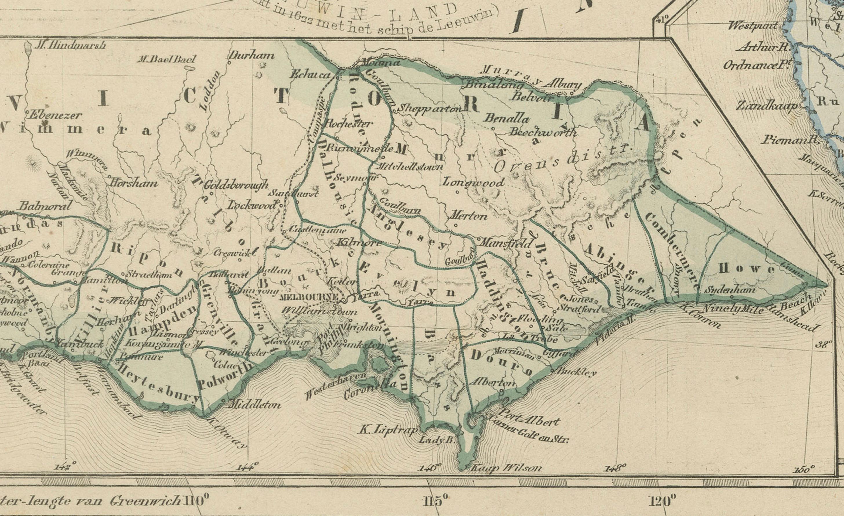
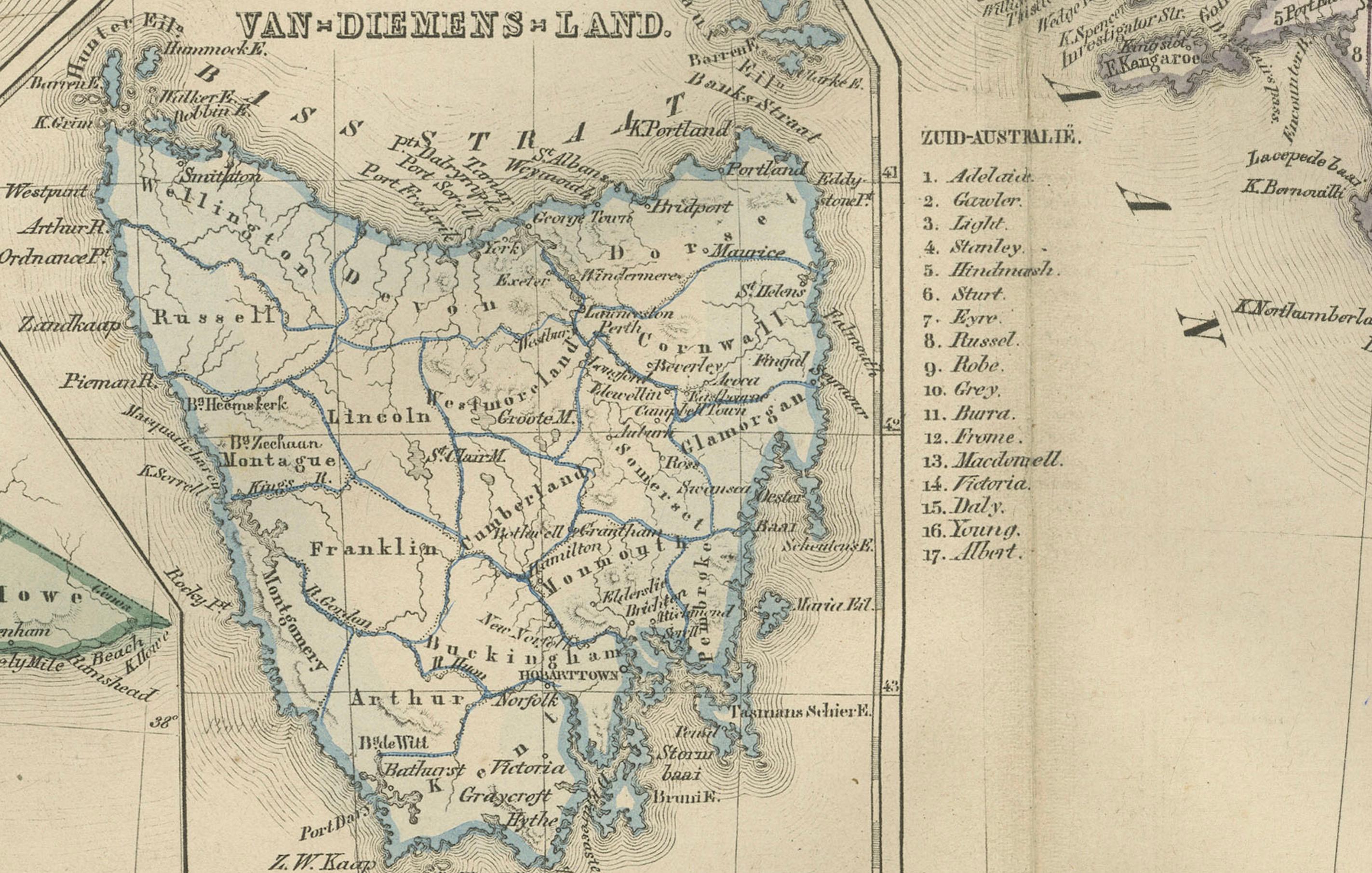
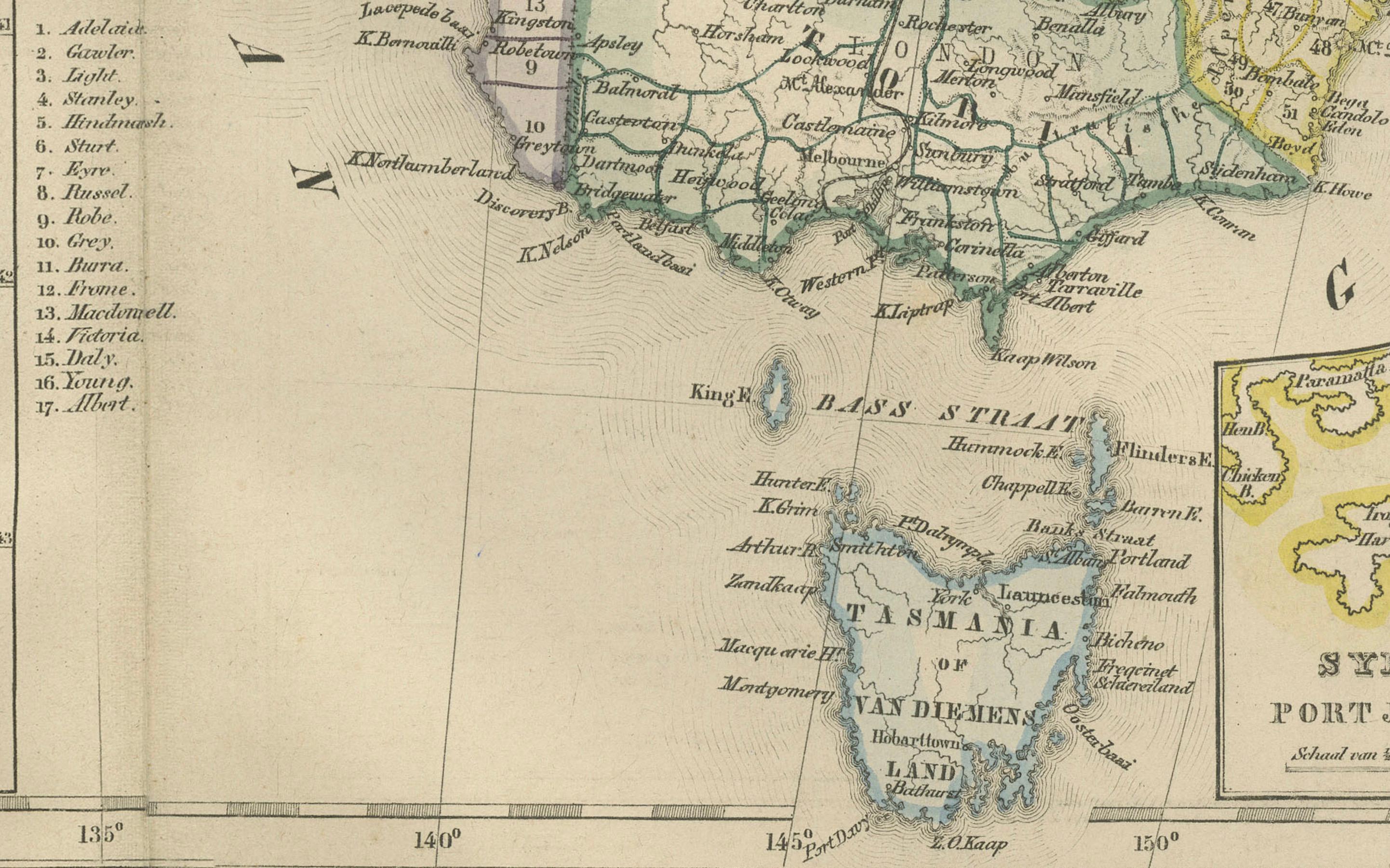
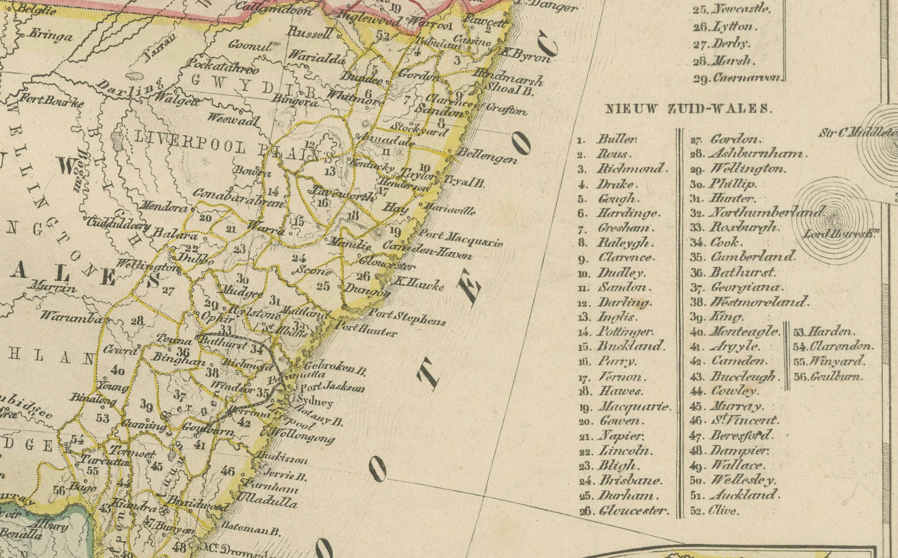
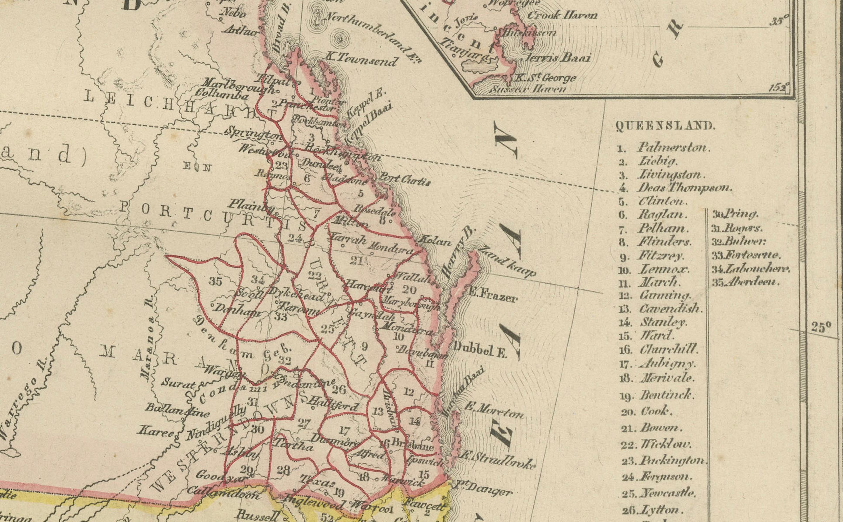
This detailed 19th-century map, titled “Vaste Land van Australië, of Nieuw-Holland,” was published in Leiden by D. Noothoven van Goor for the *Nieuwe Hand-Atlas der Aarde* (circa 1876). It presents one of the most accurate Dutch depictions of Australia at a time when the young colonies were rapidly expanding and major inland explorations were still shaping the world’s understanding of the continent. The map displays the major colonial divisions—Western Australia, South Australia, Queensland, New South Wales, and Victoria—outlined in delicate original hand-colouring, with Tasmania and several regional insets offering additional geographic precision.
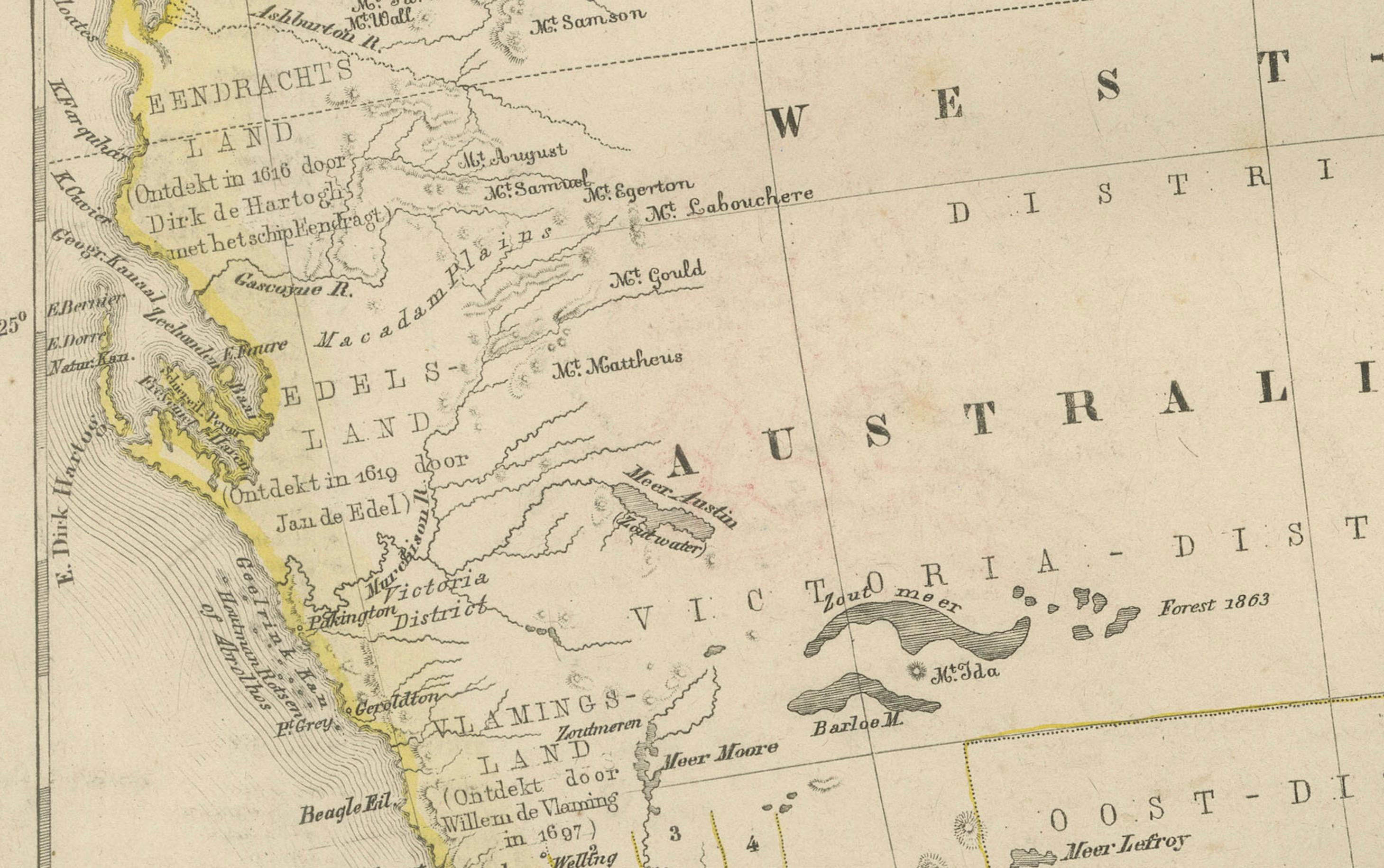
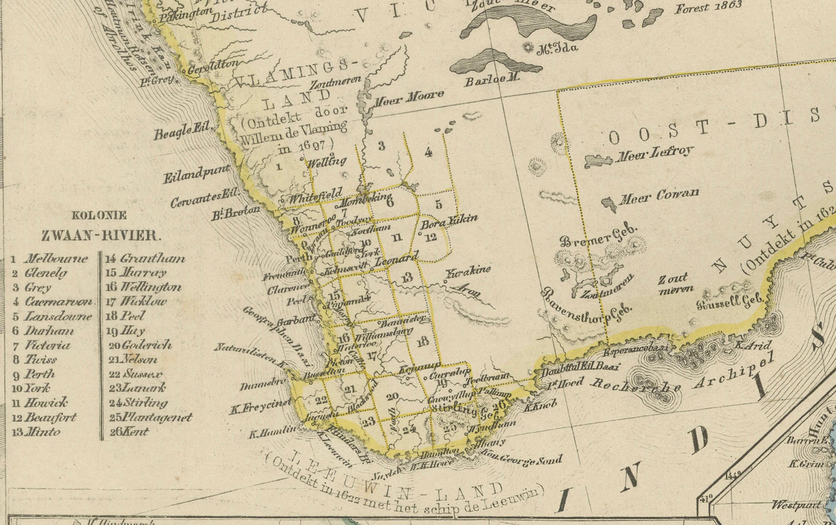
Western Australia is shown as a vast and mostly unmapped interior, with early settlement centres such as Perth, Fremantle, Albany, and Geraldton marked along the coastal fringe. The map still labels large interior regions as “Onbekend District,” reflecting the limited European knowledge before the completion of major expeditions. South Australia, extending north toward present-day Northern Territory, includes Adelaide and the early overland routes that connected the southern colonies.
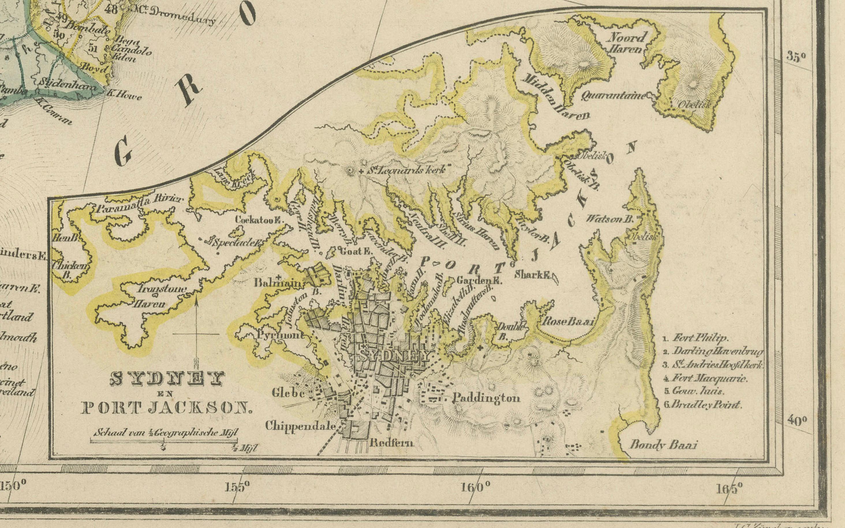
Queensland is depicted with a clear boundary line rising up the eastern coast, showing towns such as Brisbane, Rockhampton, and Maryborough, as well as early pastoral districts. To the south, New South Wales and Victoria are presented in fine detail, with extensive road networks, rivers, and town names illustrating the development of the colonies during the Victorian gold rush era. Sydney, Melbourne, Geelong, Bathurst, Ballarat, Bendigo, and many other important settlements appear prominently.
The map includes multiple inset maps that greatly enhance its historical and geographic value. These insets show the detailed regions of Victoria, Tasmania (then Van Diemen’s Land), South Australia, and Sydney and Port Jackson. Each inset provides a closer look at settlement grids, rivers, mountain ranges, and coastal features as they were documented in the mid-to-late 19th century. The inclusion of these insets demonstrates the publisher’s intention to provide both a broad overview and a practical reference tool for travellers, educators, and scholars.
This map is a strong example of Dutch scientific cartography at a time when Australia was emerging as a unified geographic and political entity. The engraving is finely executed, with clear typography and decorative shading, making it an appealing decorative piece as well as a historical document.
Condition report:
Good condition overall. Light toning consistent with age. Scattered foxing in margins and around fold. Original center fold as issued. Hand-colouring clear and bright. No major tears or repairs observed.
Framing tips:
An ivory or light cream mat complements the subtle colour washes. A dark walnut, oak, or black frame creates strong contrast and gives the map a refined gallery appearance. For a more contemporary look, a thin metal frame with generous white matting works beautifully for large-format cartography.
Keyword block:
Australia, New Holland, Western Australia, South Australia, Queensland, New South Wales, Victoria, Tasmania, Sydney, Melbourne, 19th century map, Noothoven van Goor, Dutch cartography, colonial Australia, historical map, Van Diemen’s Land, Port Jackson, Adelaide, Brisbane, gold rush era, antique atlas, 1876.